
Tiu Tang Lung Hike: A Rugged Route That Leads to Radiant Views
Contents
- Essential Information
- Hike Highlights
- Google Route Map and GPX
- How to Get There
- Quick Route Summary
- Directions from 20R Last Stop to the Start Point
- Starting Point: Wu Kau Tang Village
- The Trail to Kau Tam Tso
- 2 Weird Bridges and another Fork to the Left
- Getting to the Main Tiu Tang Lung Fork
- The Tough Climb to Tiu Tang Lung Summit
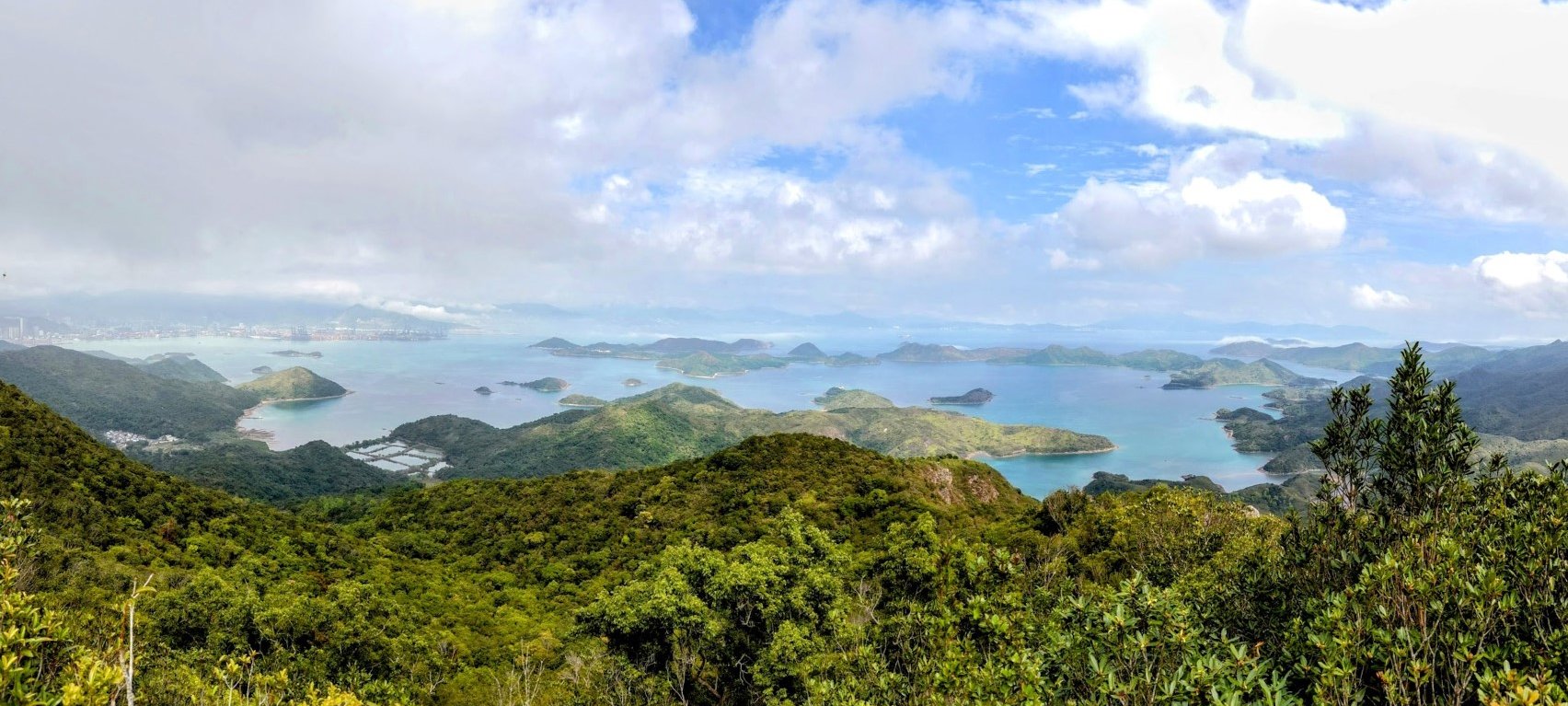
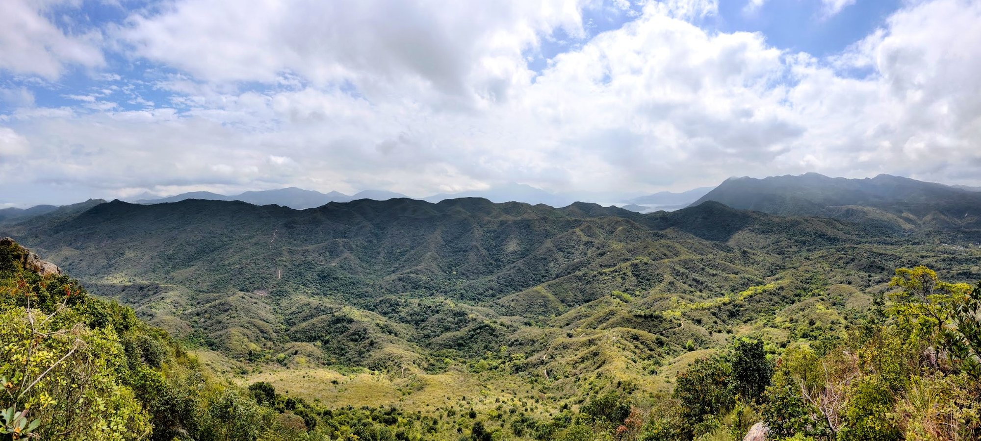
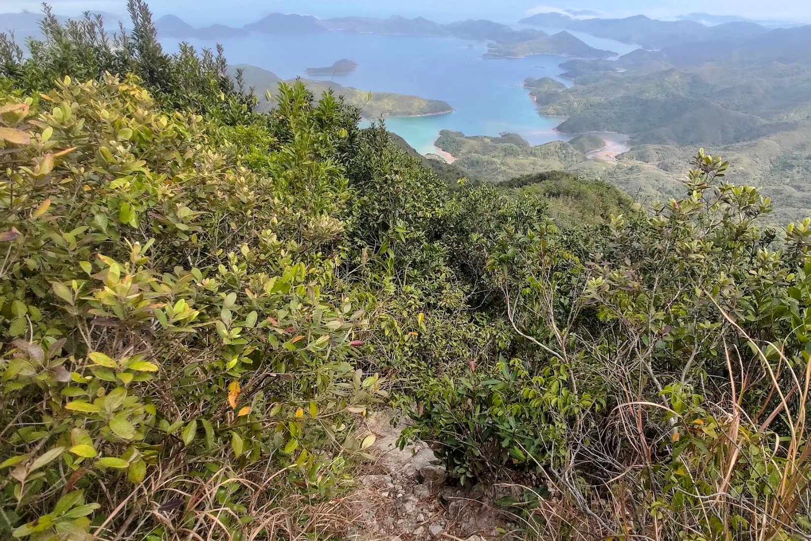
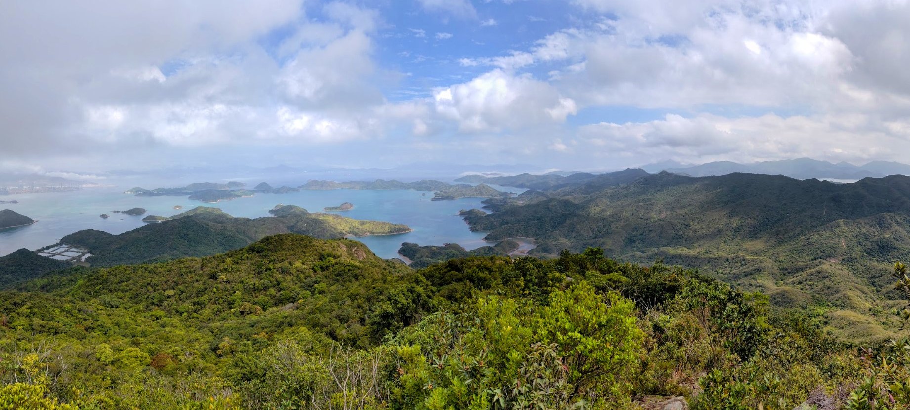
- Tiu Tang Lung Summit Views
- Getting to the Descent Point
- Descending Tiu Tang Lung
- Heading Back to Wu Kau Tang
- Getting Back
Essential Tiu Tang Lung Hike Details
- District: New Territories
- Duration: 3 hours 10 mins
- Distance: 8km
- Highest Elevation: 416 meters
- Difficulty: 3.5/5
- Facilities: Toilets at Wu Kau Tang Village. Bring drinks and food beforehand
Why Hike Tiu Tang Lung?


*You will lose phone signal on this hike, so screenshot any relevant sections of the guide or download the GPX map file in the 'Google Route Map' section below.
Tiu Tang Lung (吊燈籠) is really tricky and technical in terms of its terrain, making it only suitable for experienced hikers. While the start of the hike lulls you into a false sense of security, the minute you start climbing, things get really tough, really fast. tricky and technical in terms of its terrain, making it only suitable for experienced hikers. While the start of the hike lulls you into a false sense of security, the minute you start climbing, things get really tough, really fast.
The ascent up to the top of Tiu Tang Lung is as vertical as it gets. You'll be battling the rough trail and with your cardio as you make a rapid, but brutal journey to the peak of the mountain.
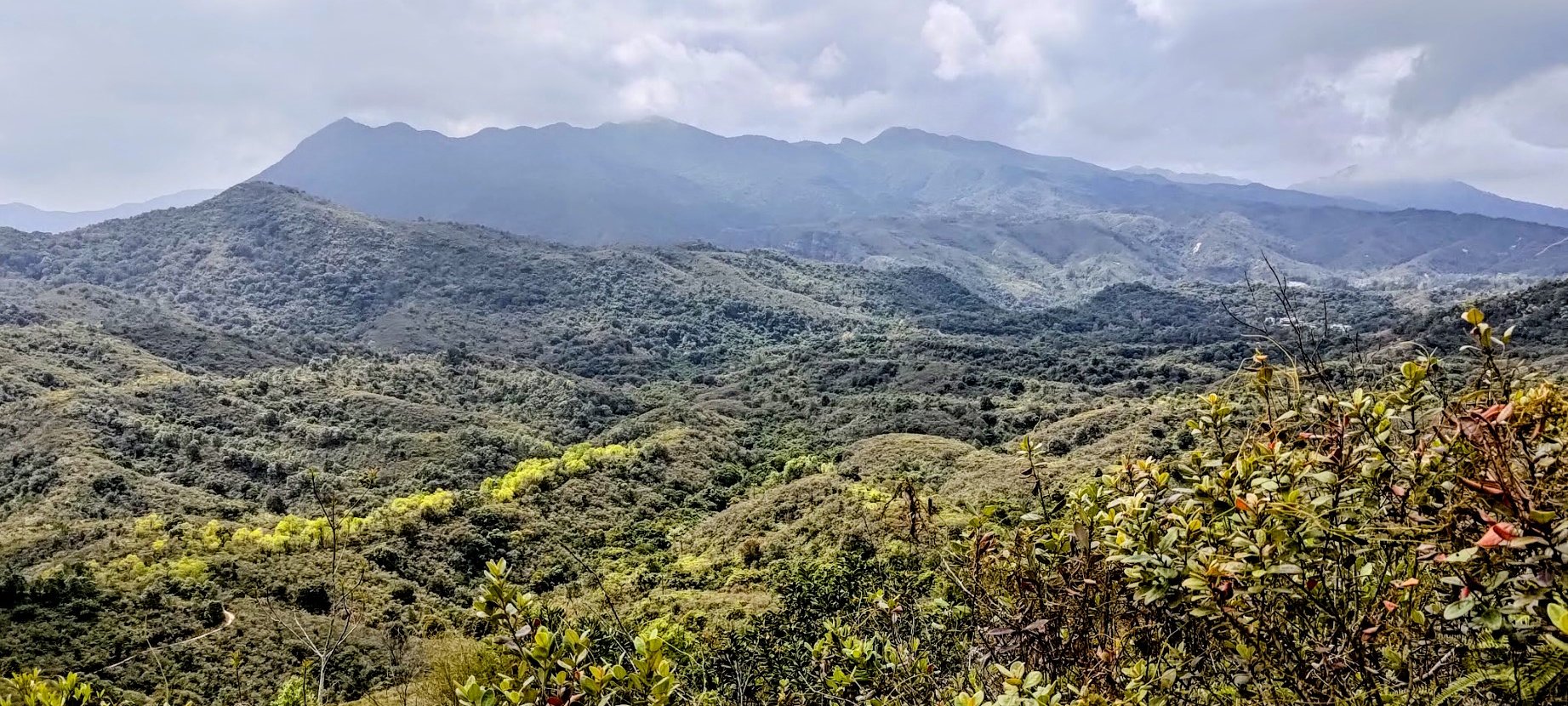
Once at the summit, you'll be rewarded with incredible views of undulating mountains, lush greenery, the pink hue of the special coastal rocks in the area, and Mirs Bay.
The way down is genuinely frustrating. The first 200 meters isn't particularly bad, but the final 150 meters to the main trail is super technical, tricky, dangerous and wild. Be prepared to use your hands, to slide on your backside and to even have parts of the trail crumble under you. I almost fell into a random hole at one point.
With all that in mind, this is one of those hikes where you won't really find a lot of people on the trail, so you'll have the peace, quiet and views all to yourself!
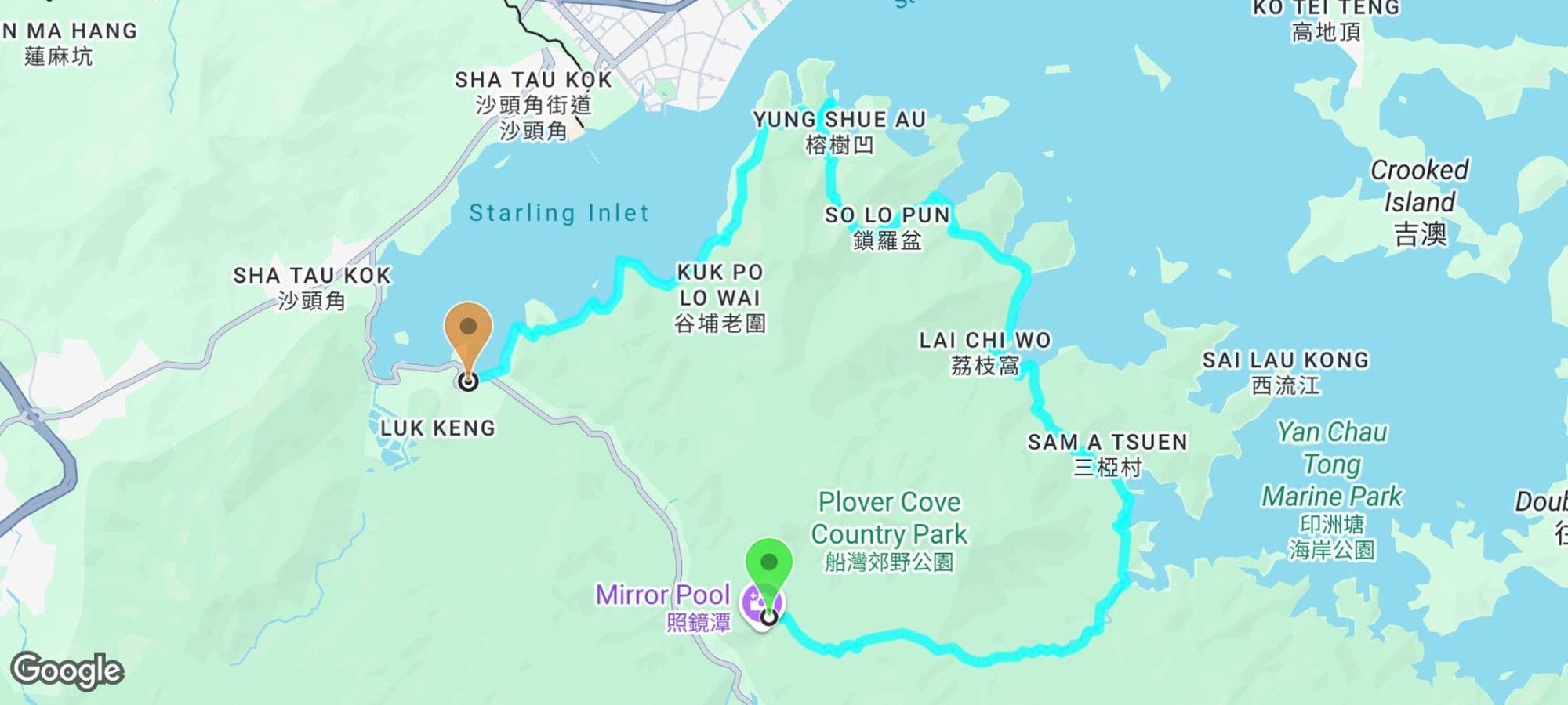
Google Route Map and GPX
*Click the box icon in the top right of the map below to load the blue route directly into your own Google Maps. You can then see your location relative to the trail in real time!
How to Get to the Tiu Tang Lung Hike Start Point

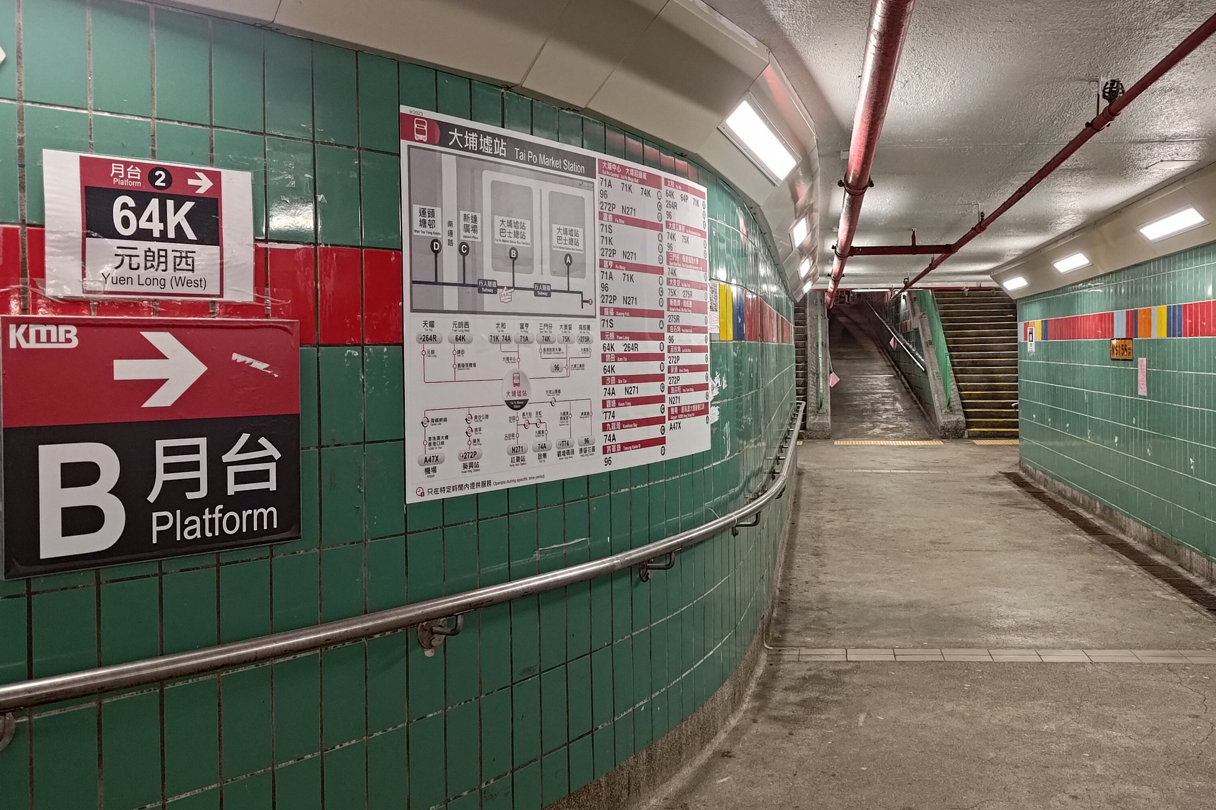
To get to the Tiu Tang Lung hike start point, take the MTR to Tai Po Market station and then hop on any of the two following buses:
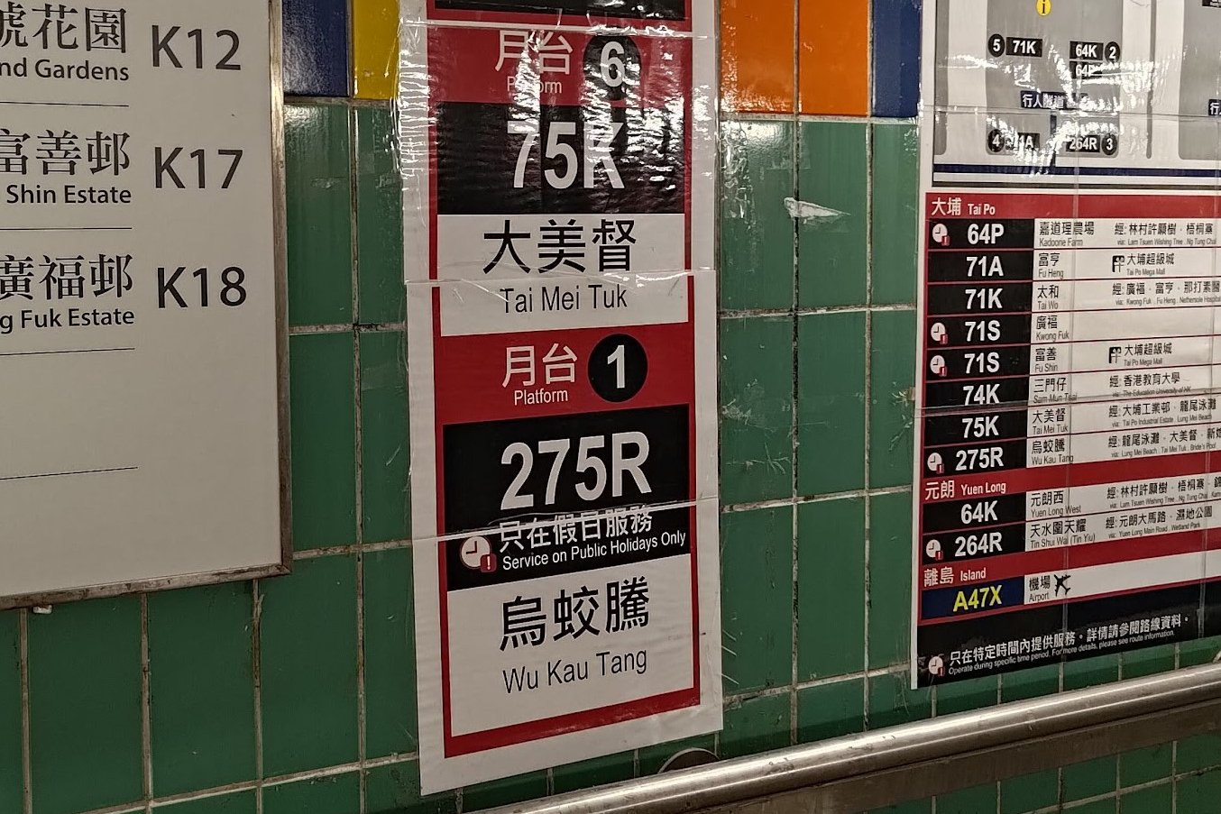
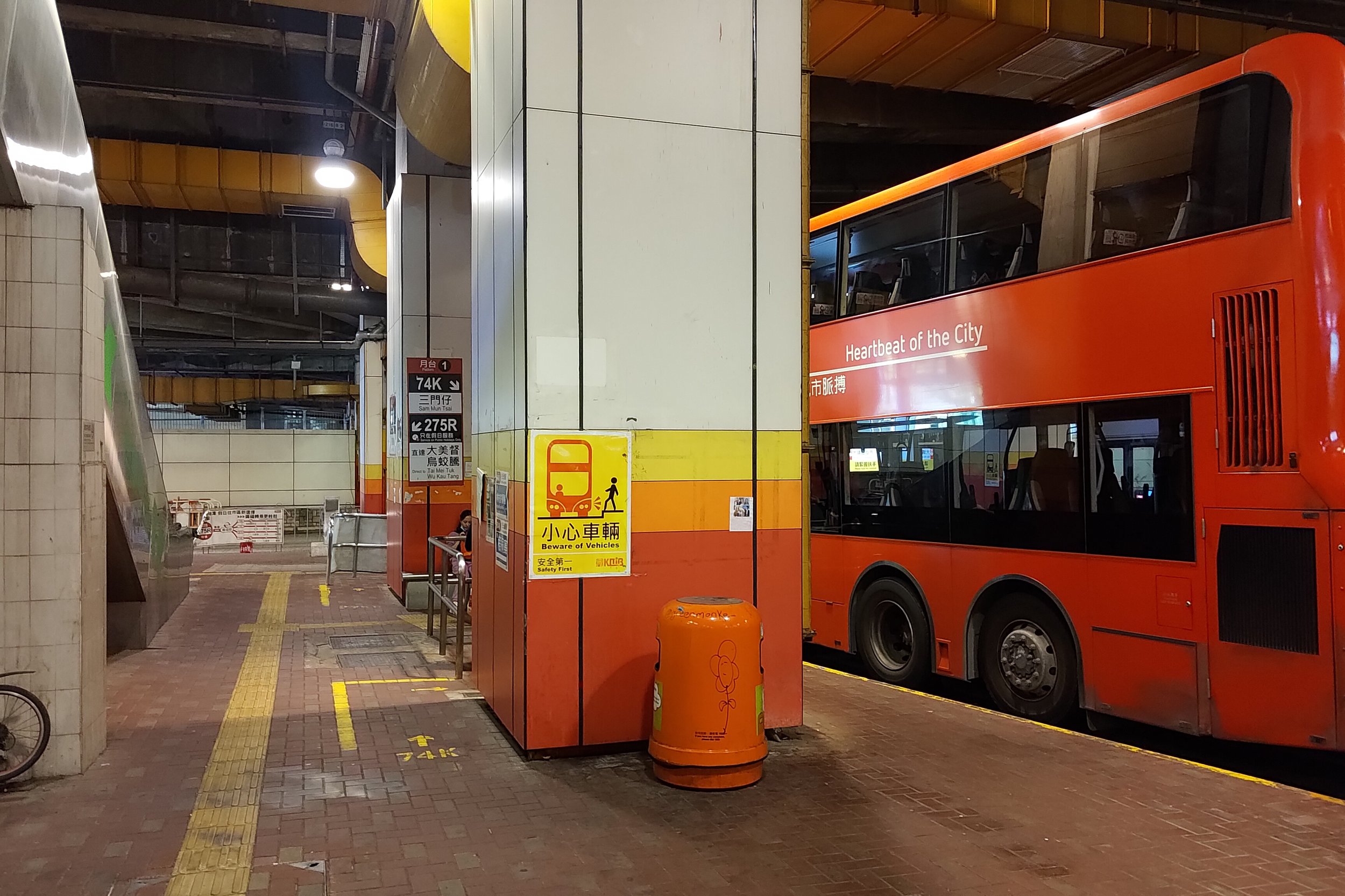
Leave Tai Po Market Station at Exit A3 and follow the 275R laminated signs.
You can take the 275R bus on Sundays or public holidays to the last stop, which is Wu Kau Tang Bus Terminus (hike start point).
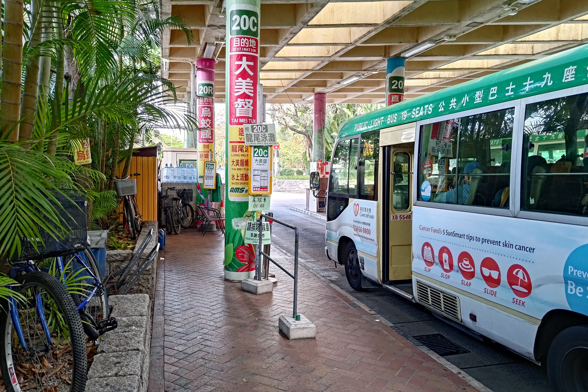
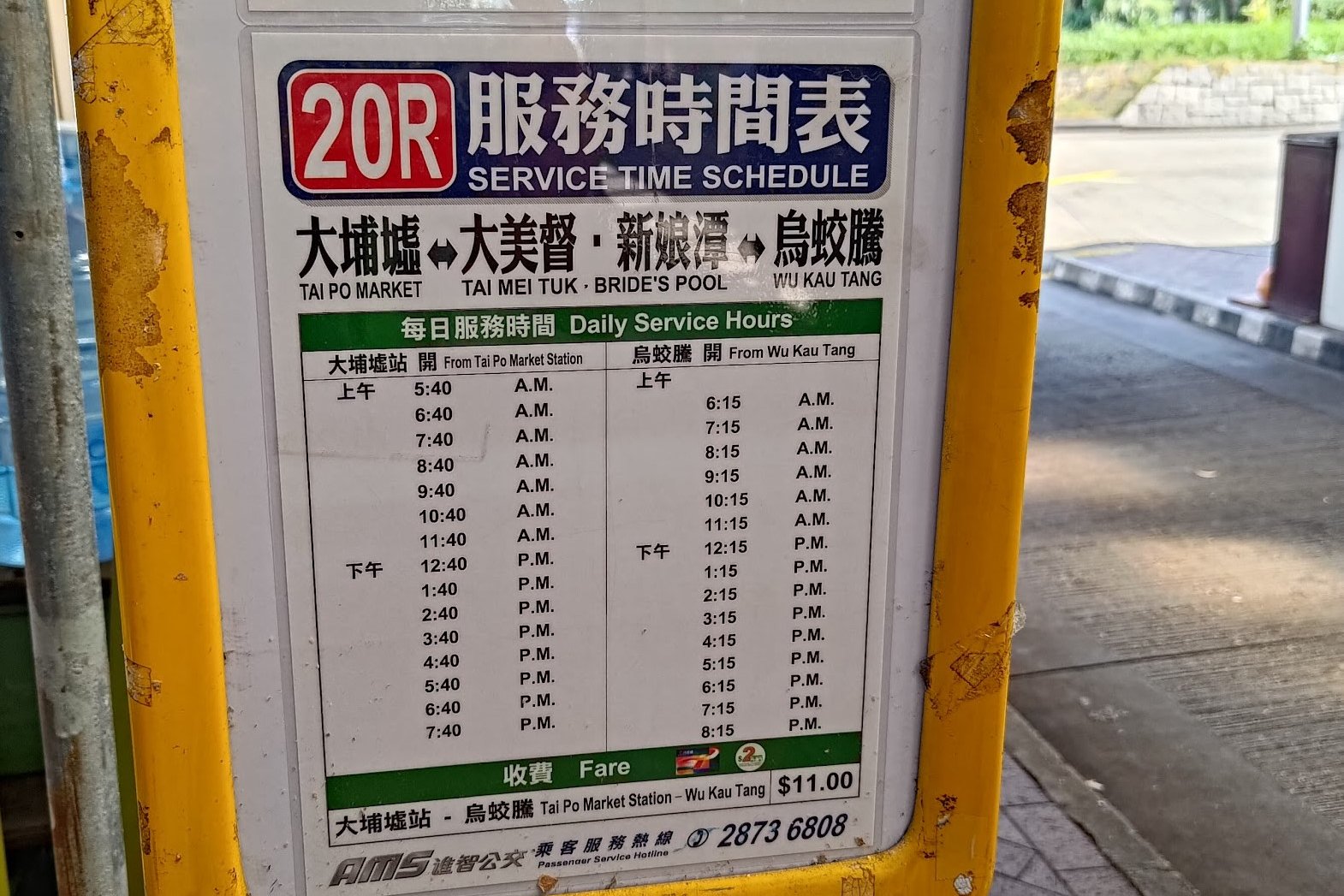
- 20R Green Minibus
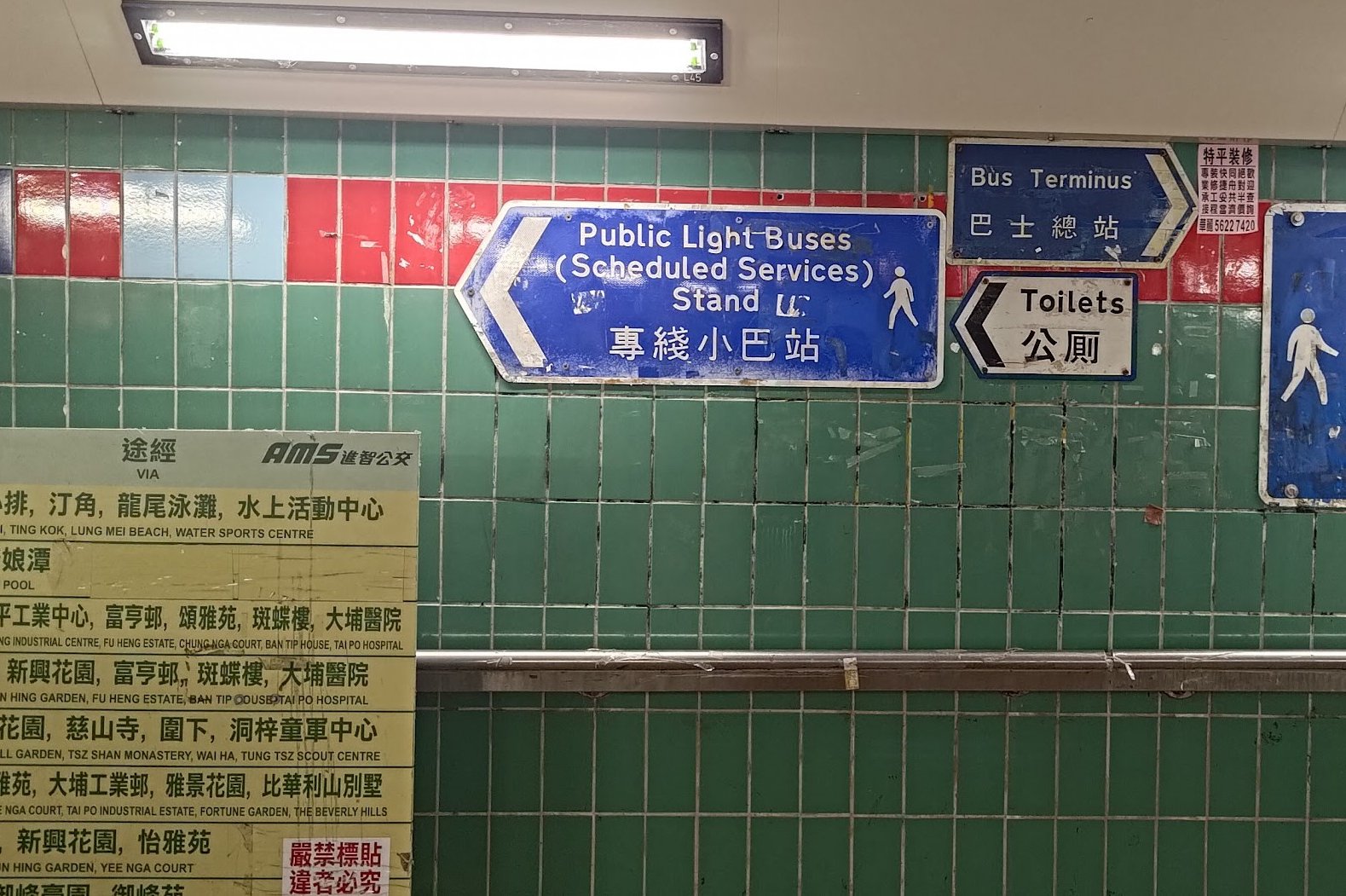
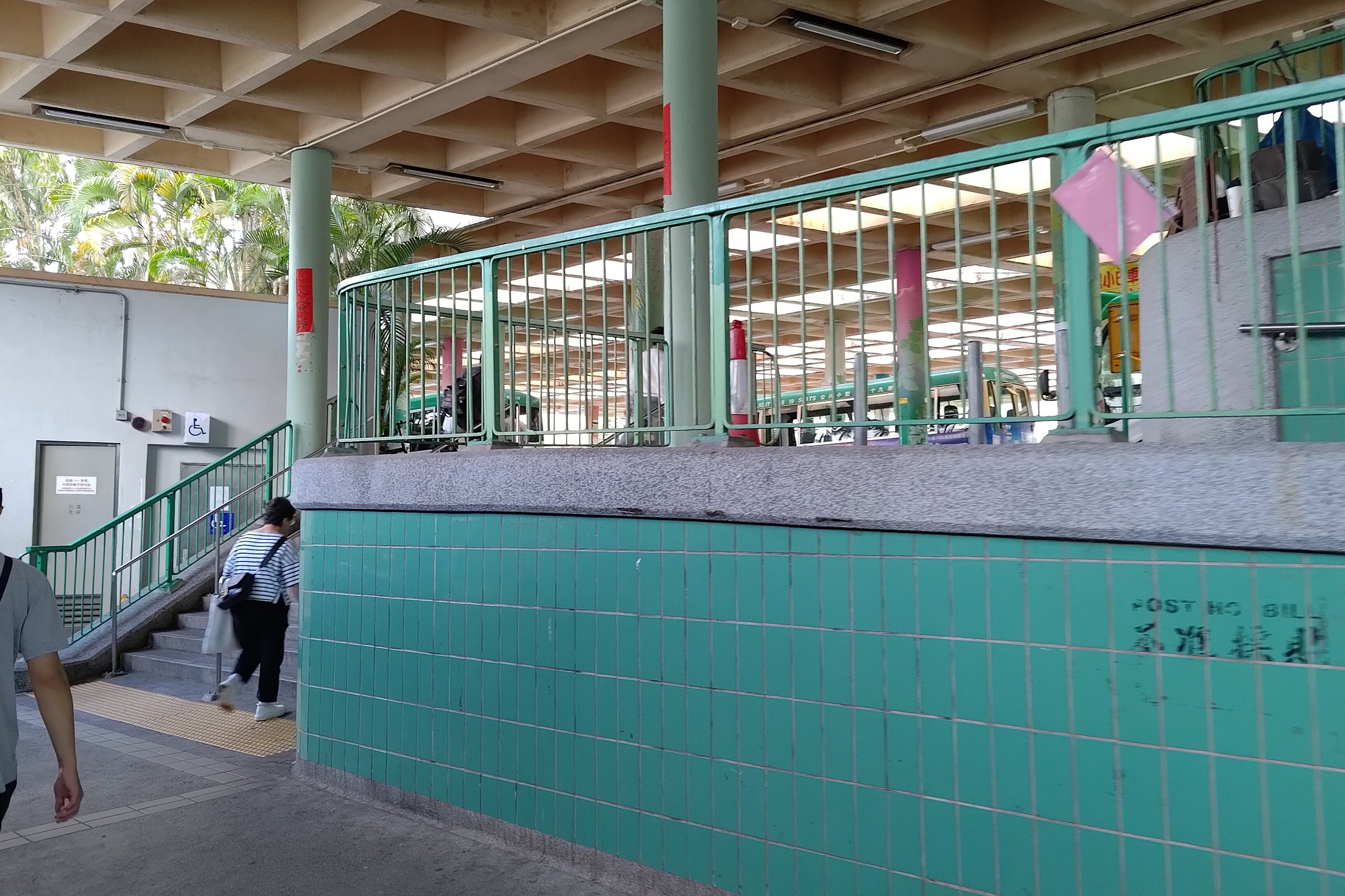
Leave Tai Po Market Station at Exit A3 and turn left following the blue 'Public Light Buses' sign. The 20R bus will be immediately to your left at the minibus station.
The 20R minibus runs only once per hour on weekdays every 40th minute of the hour (06:40, 07:40 etc), but is more frequent on weekends. Get off at the second-last stop - at the intersection of Chi Sum and Wu Kau Tang Road. Walk up Wu Kau Tang Road to Wu Kau Tang Bus Terminus (hike start point).
If you end up at the last stop, walk back in the direction you came from on the bus for a couple of minutes before going left on Wu Kau Tang Road.
You'll see the start point at the end of Wu Kau Tang Road.
Quick Tiu Tang Lung Hike Route Summary
- Follow the 'Wu Kau Tang Tsuen' sign behind the Wu Kau Tang Bus Terminus shelter
- Follow the 'Sam A Tsuen' sign and cut through the bottom of Wu Kau Tang Village
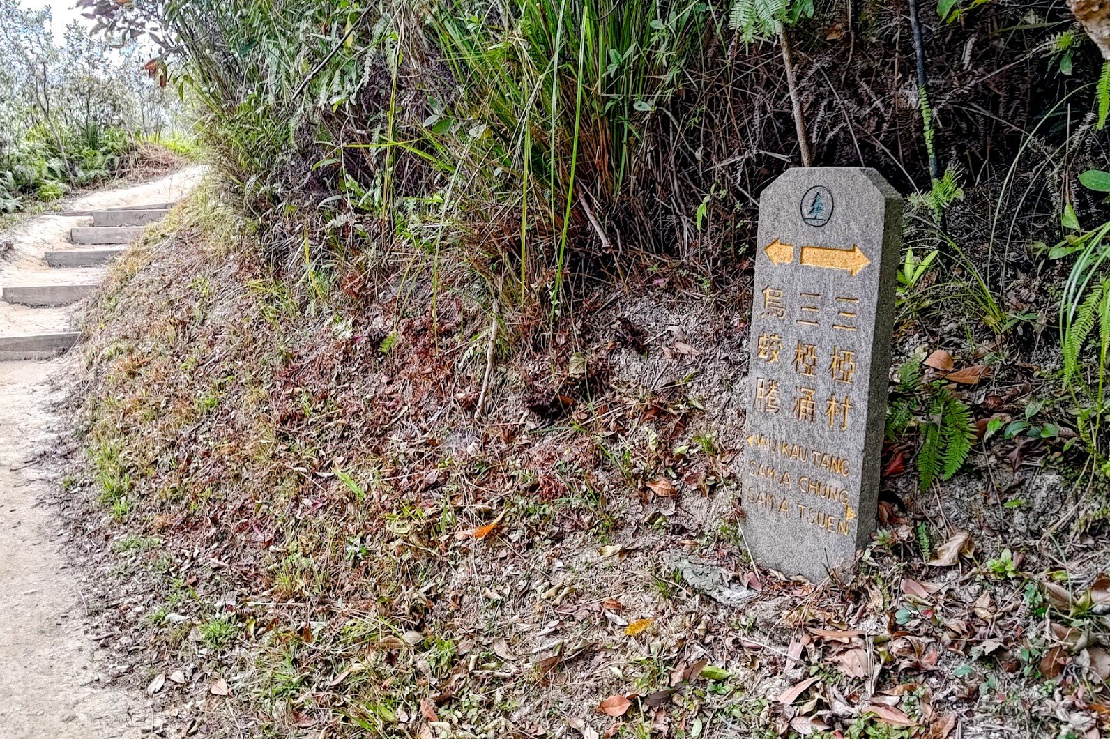
- Turn right at the 'Kau Tam Tso' sign and follow the trail for 10 mins
- At the fork in the road follow the 'Sam A Tsuen' sign up the sloping path
- 5-10 mins later, take the path to the left that goes up the stairs. There's a red emergency post here, so you can't miss it
- After a short climb, follow the flat path forward
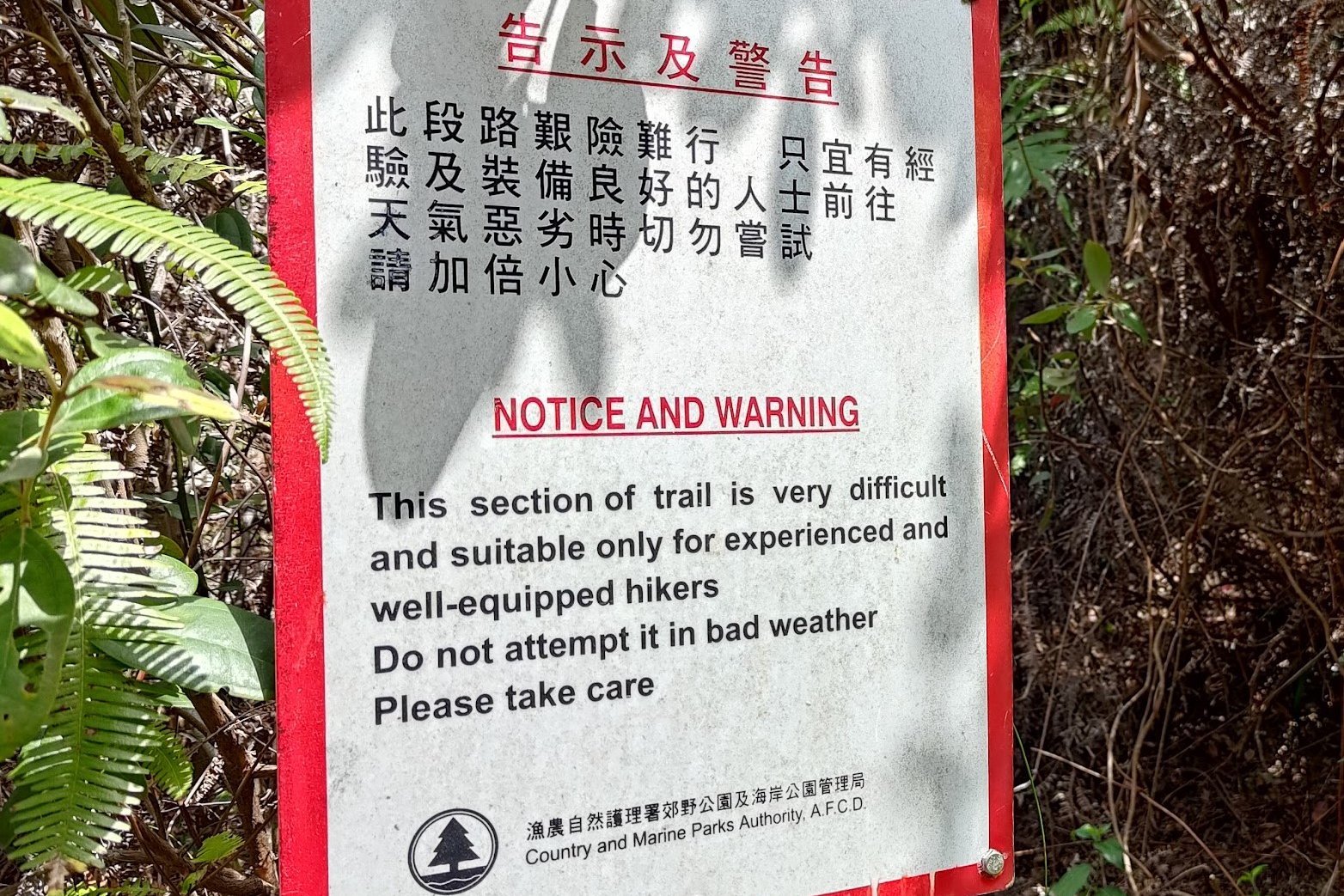
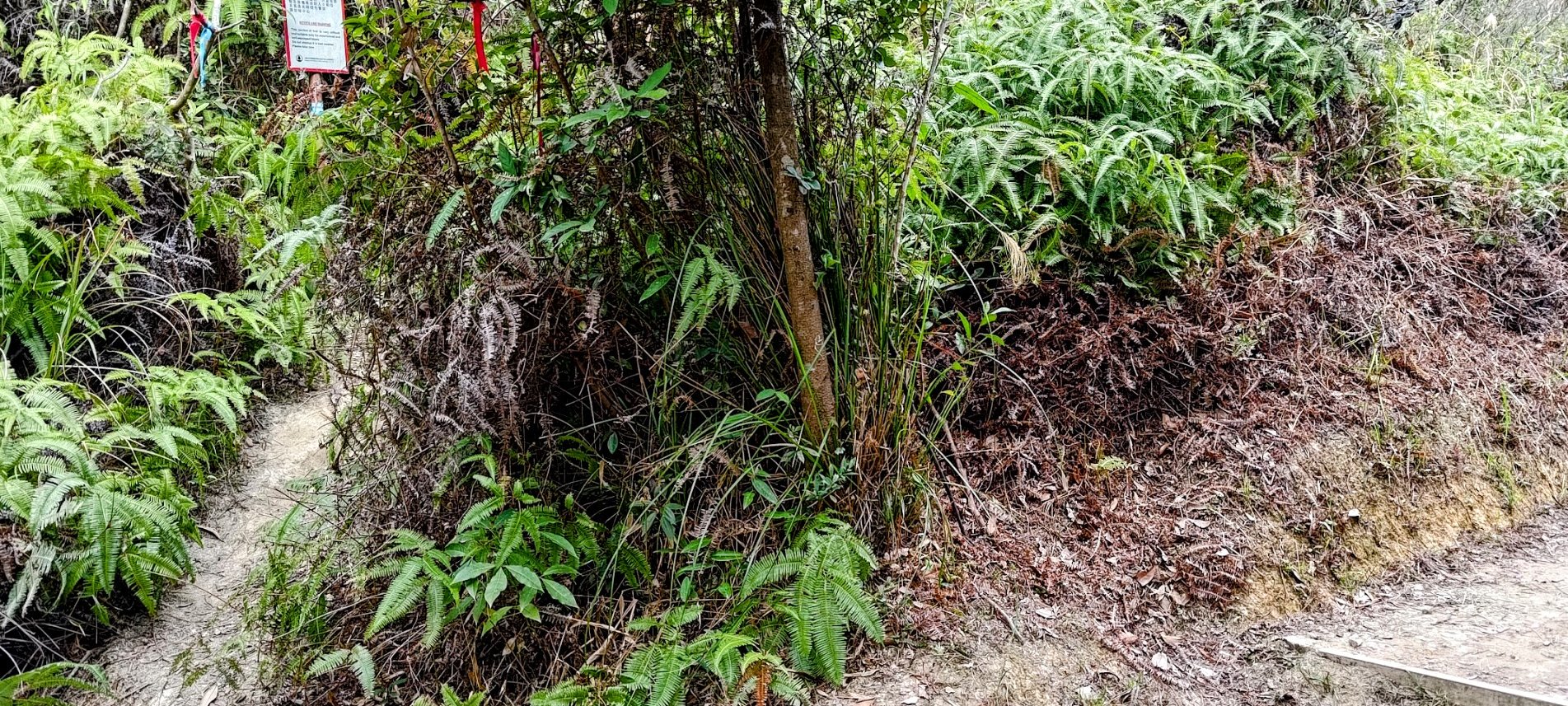
- When you arrive at a fork in the trail, you'll want to take the left fork, marked by a red warning sign. The path from hereon out gets really rugged
- Begin your climb up to the top of Tiu Tang Lung. It's really steep, but is marked by ribbons. It's hard to get lost.
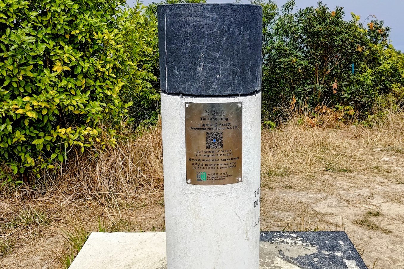
- After a brutal climb, you'll arrive at the Tip Tang Lung summit, which is marked by a black and white trigonometrical station
- The trail from the summit is marked by blue ribbons. Follow it.
- A short while later, you'll come to a junction where you'll see a path heading down to your right that's unmarked (when I went in 2025) and a path marked with blue ribbons. TAKE THE UNMARKED PATH TO THE RIGHT. This path is called the Tiu Tang Lung Path
- Follow the path all the way down. The last 150 meters are really technical and tricky. Be super careful!
- When you reach the main trail again, head right and you will begin doubling back to Wu Kau Tang
- At the fork, take the right path up the stairs
- After you pass the fork where you ascended up to Tiu Tang Lung (with the red warning sign), simply return back to Wu Kau Tang where you can get the bus back to Tai Po Market MTR station
Directions from 20R Last Stop to the Start Point


After getting off at the 20R last stop, walk back down Chi Sum Road in the direction the minibus just came from.
Ignore the first Chi Sum Road sign you see on your left and keep going straight. When you see a second Chi Sum Road sign that's much dirtier, turn left.
This is actually Wu Kau Tang Road (you'll see the road sign a few meters later). At the end of Wu Kau Tang Road, you'll see the start point, which is marked by a 'Double Haven Country Trail' sign.
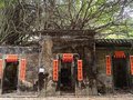
Wu Kau Tang Village

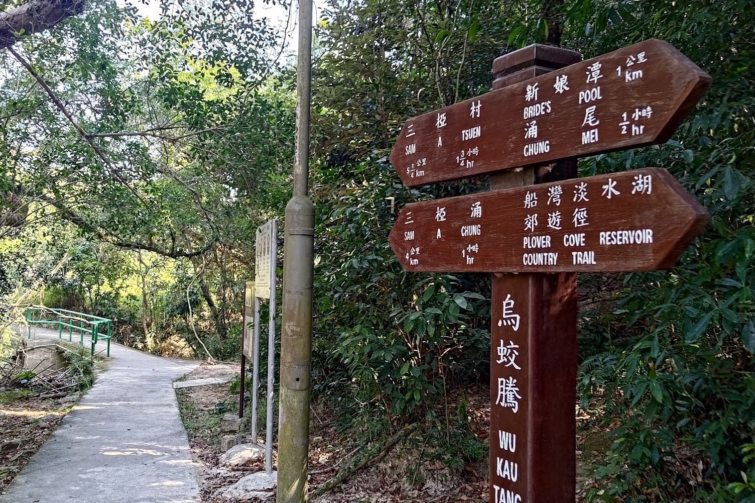


Kau Tam Tso Sign and Fork
After getting off at the Wu Kau Tang ( 烏蛟騰) Bus Terminus, follow the 'Wu Kau Tang Tsuen' sign in front of the 'Double Haven Country Trail' marker and descend the green-railing slope.
Follow the brown 'Sam A Chung' sign and take the path that goes across the little stream.
You'll emerge a few minutes later at Wu Kau Tang Village, which was founded in the 1660s or 1670s.
You'll see the main village to your left as you take the right fork around an impressive lone, walled house.
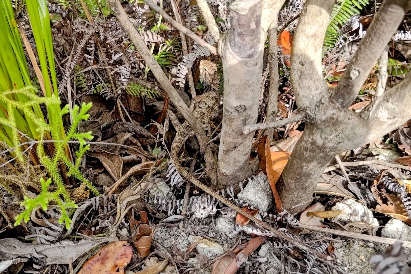
Wu Kau Tang is known for its butterflies (apparently, there are 137 species of butterflies that can be observed here), so take your time to admire the beauty of your surroundings.


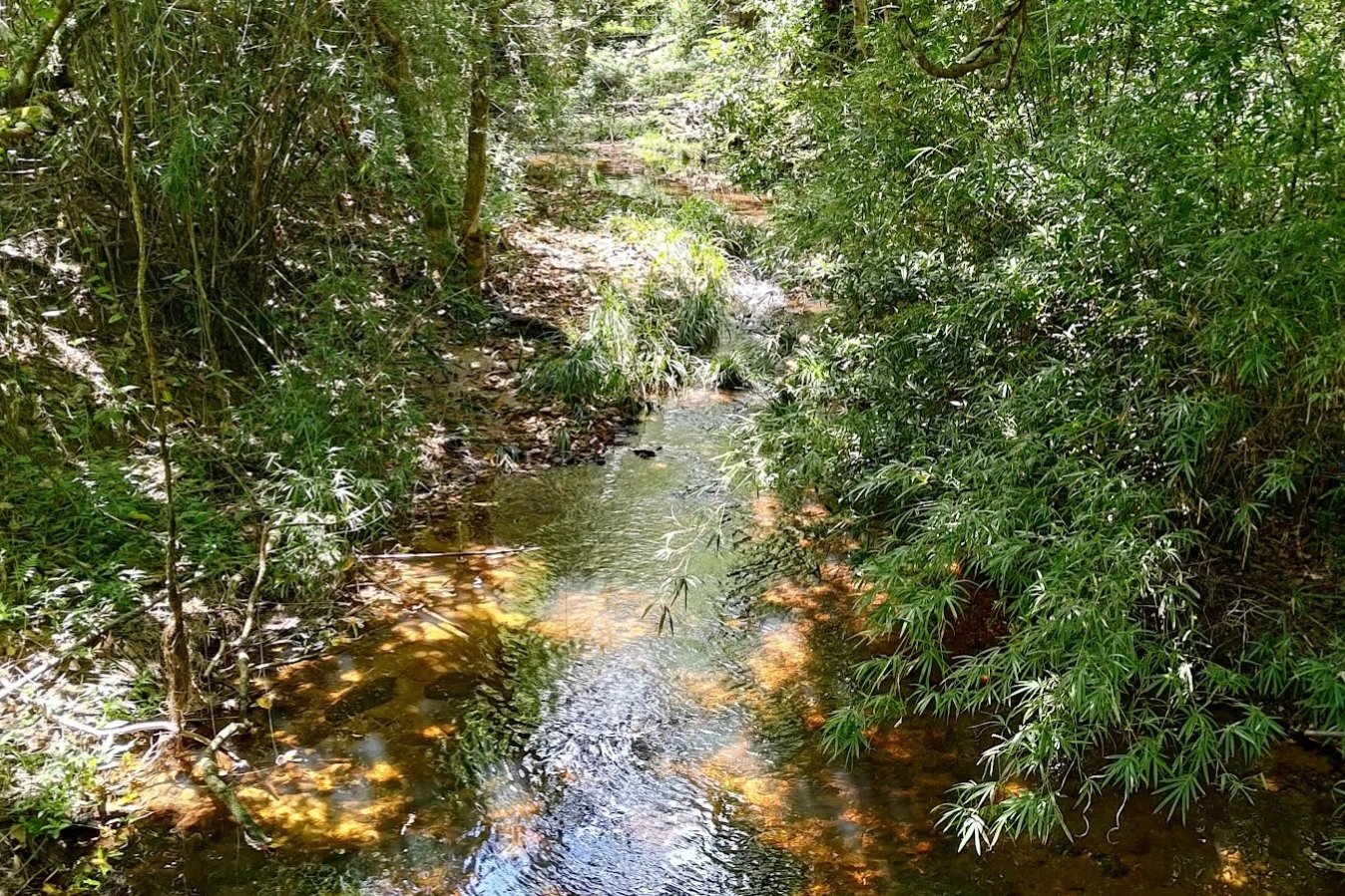
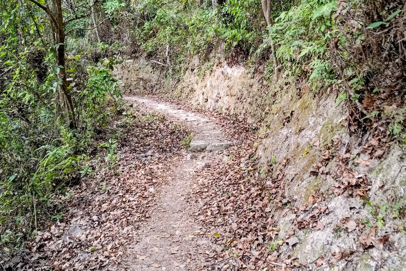
After going past the walled house, you'll see a sign pointing you towards 'Kau Tam Tso'. Follow the sign and walk past a beautiful stream with cool fish in it, a large chunk of green grassland with maple trees in it and even some abandoned village homes.
At the fork in the road about 10 minutes later, follow the sign pointing to 'Sam A Tsuen' and take the path that slopes upward.
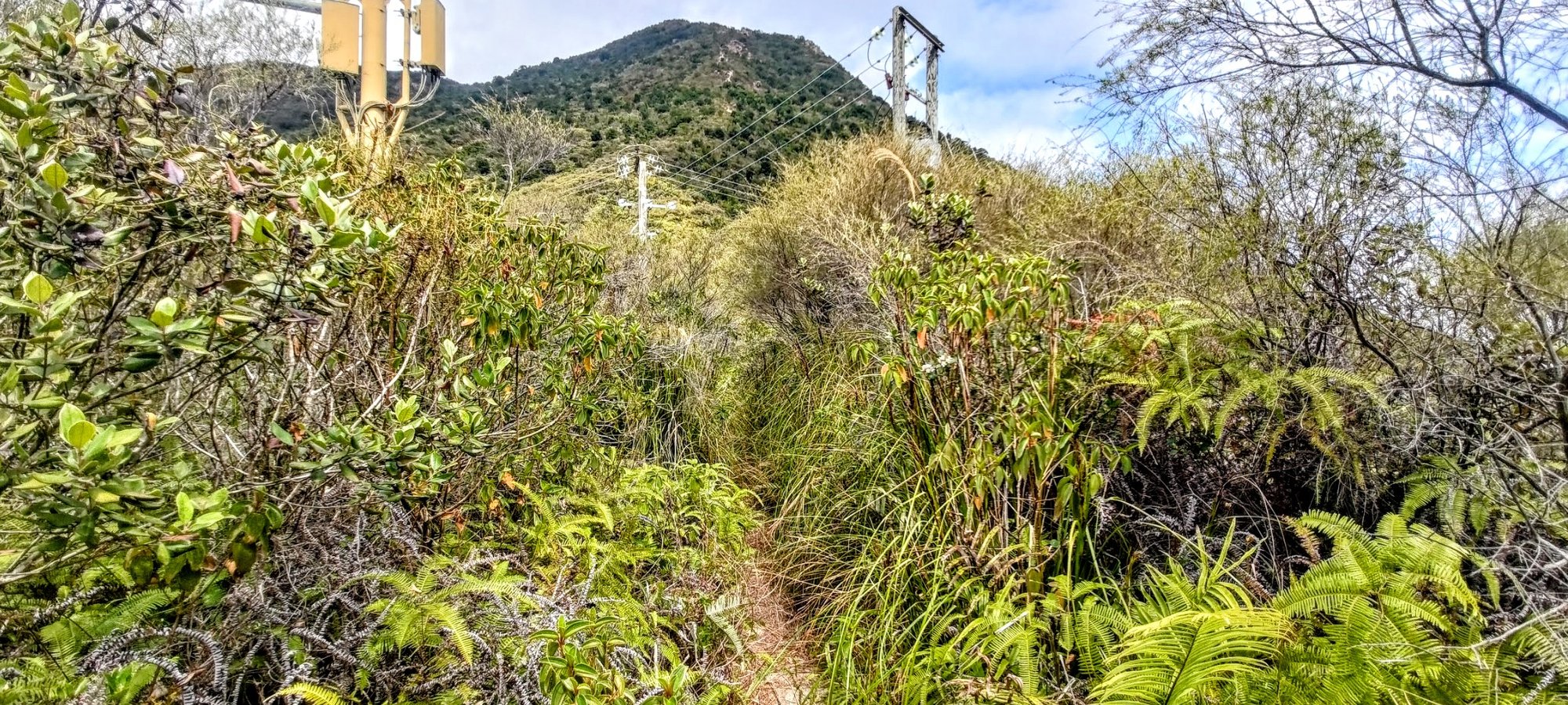
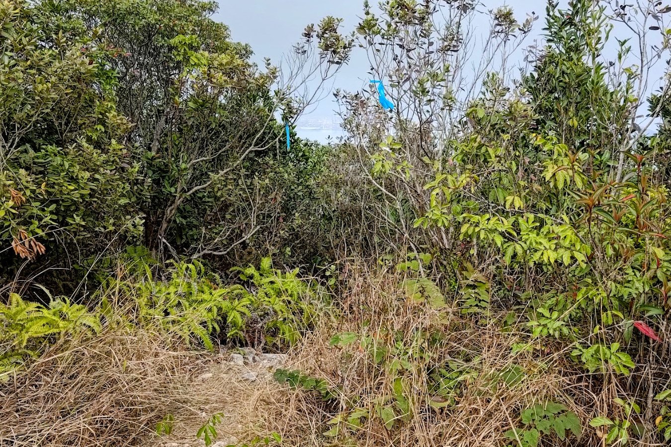
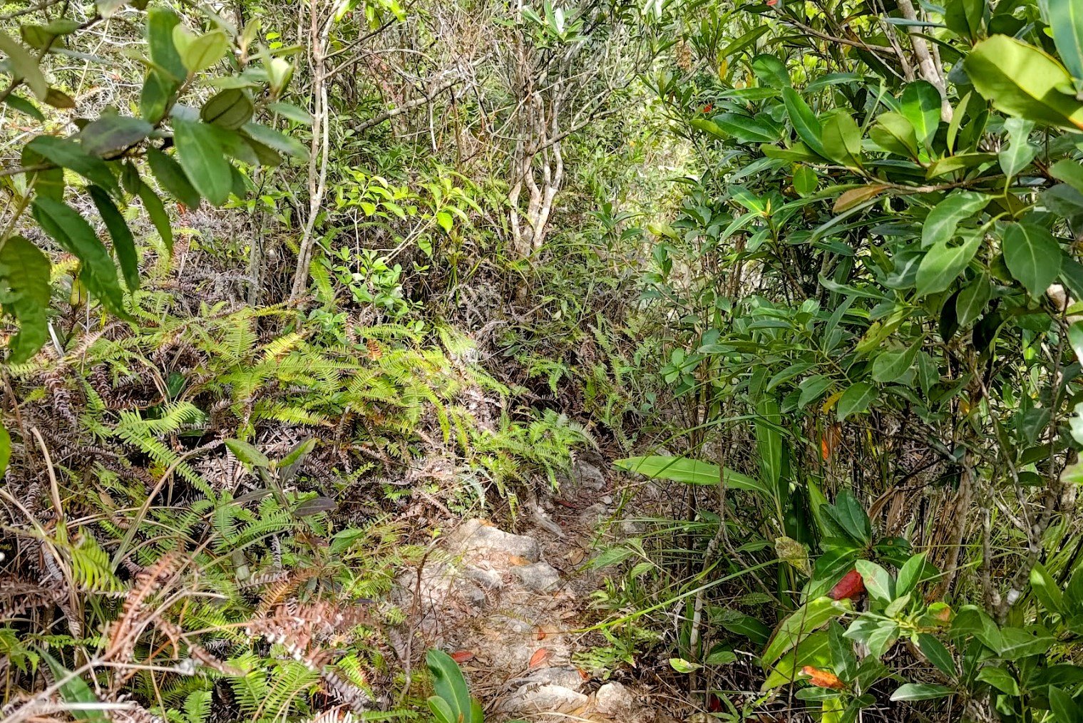
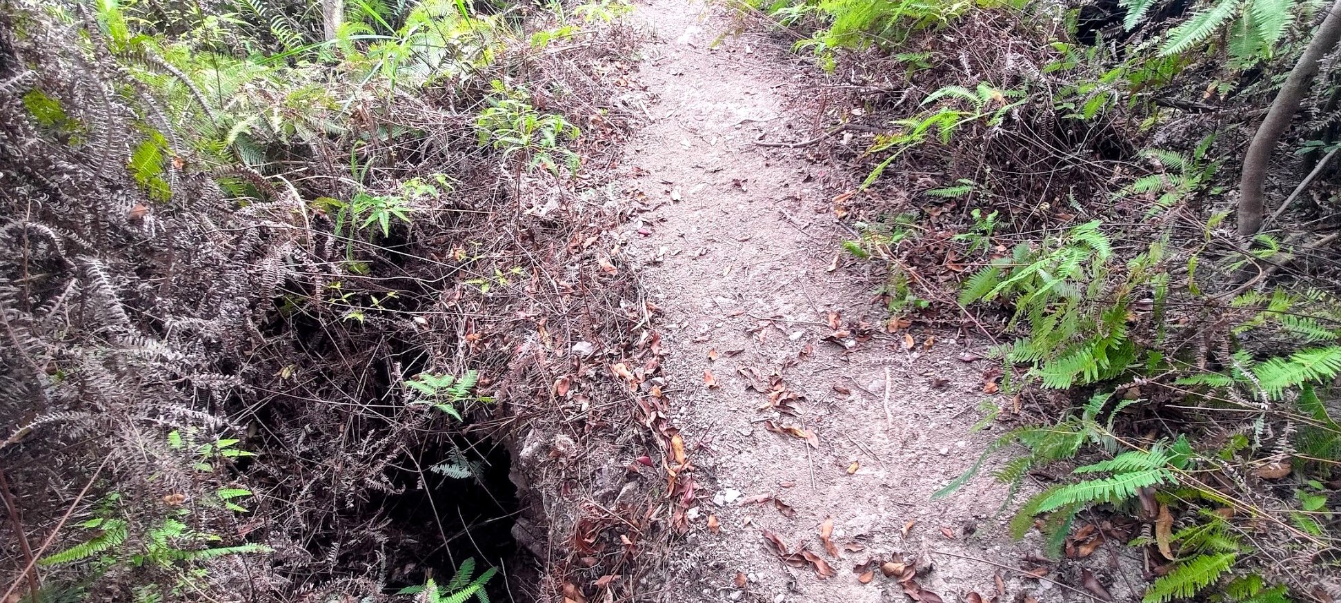
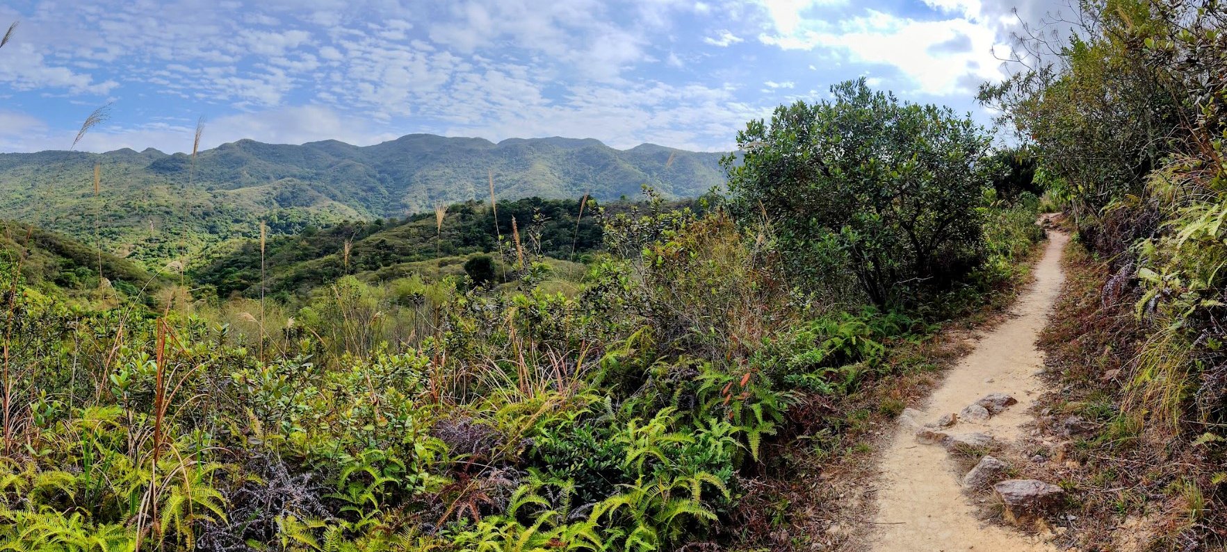
2 Weird Bridges and another Fork to the Left


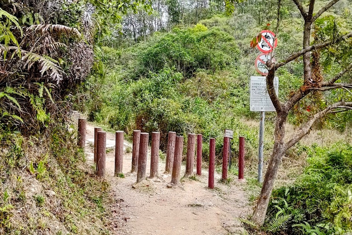

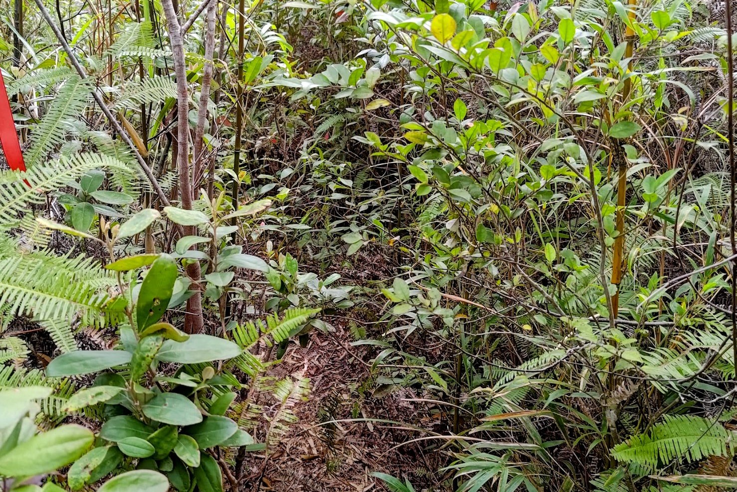
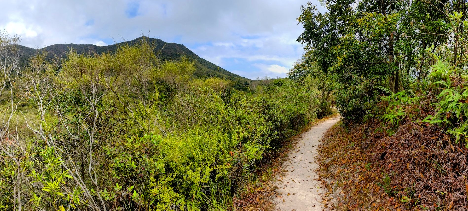
In a short span of time, you'll walk across two odd little bridges and then emerge from the forest trail onto an unshaded path.
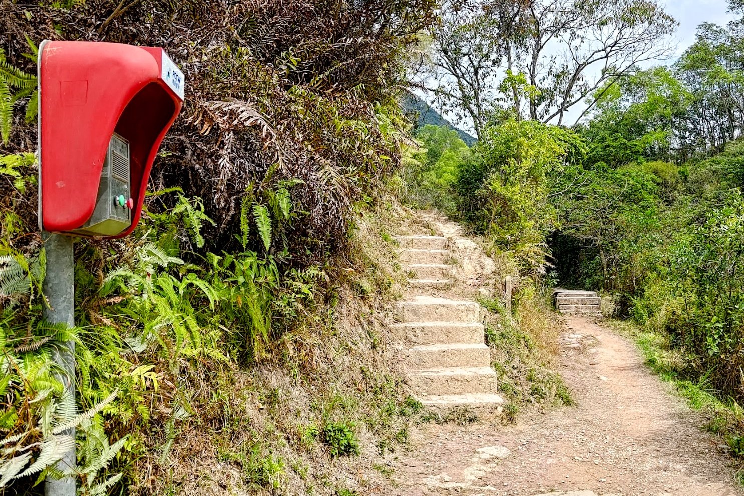
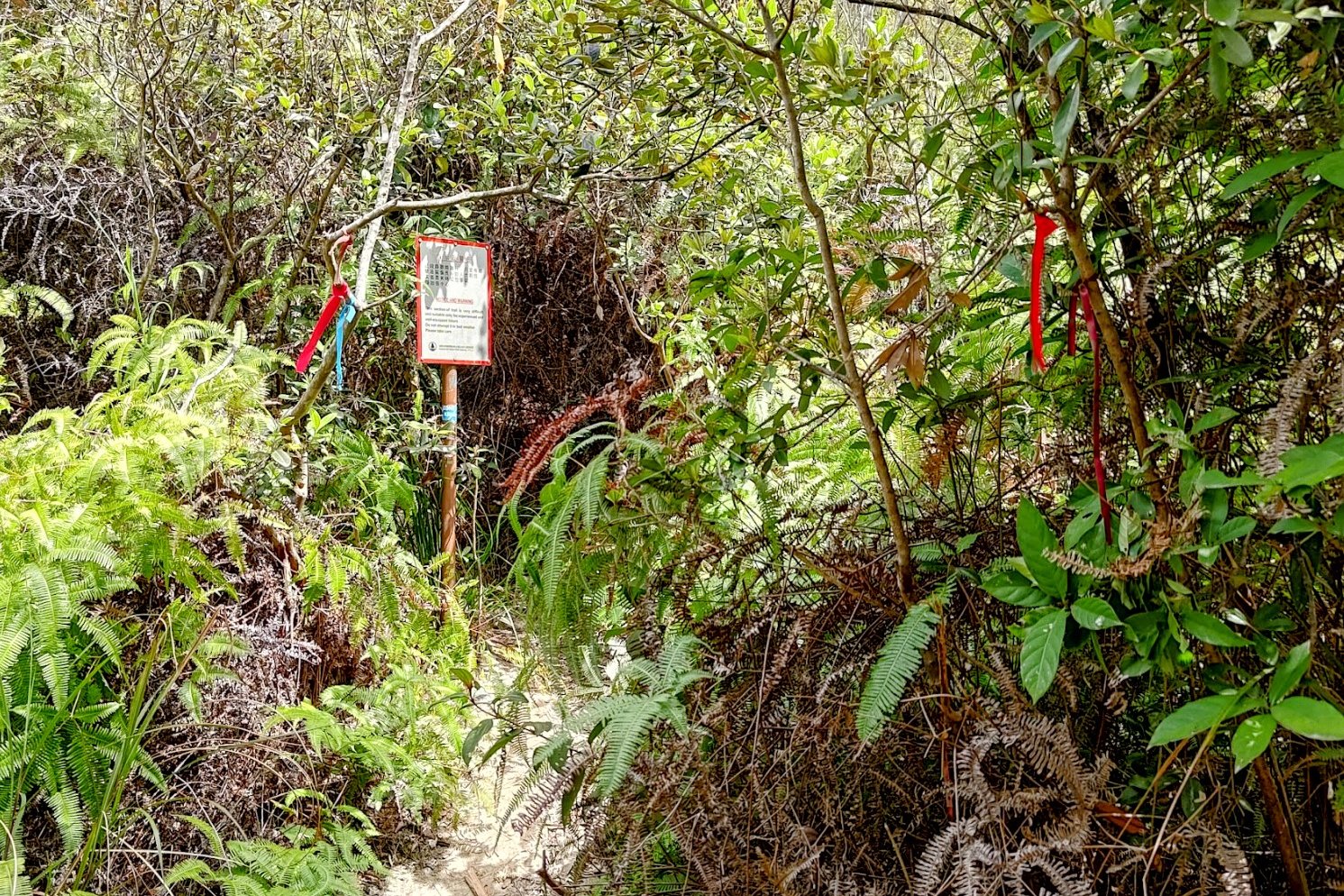
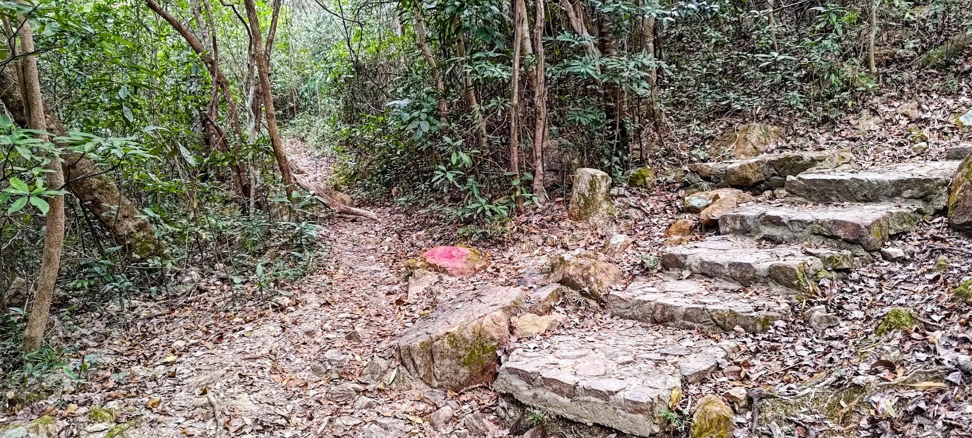
When you see a bunch of poles in the ground to deter bikers, you'll also find a fork in the trail. To get to Tiu Tang Lung, you'll want to take the left fork. There's also a red emergency stand just before the fork, so you really can't miss it!
Getting to the Main Tiu Tang Lung Fork
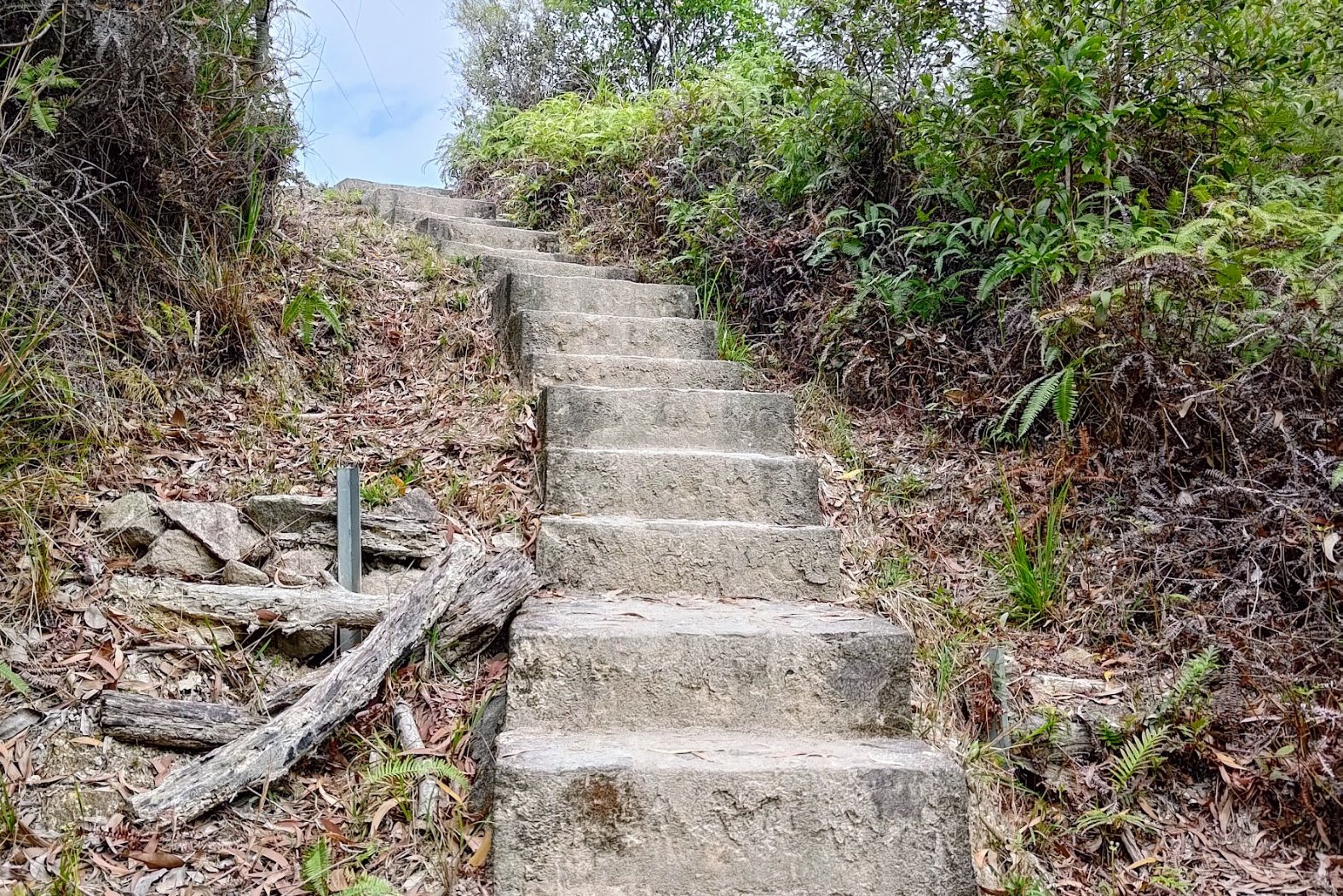
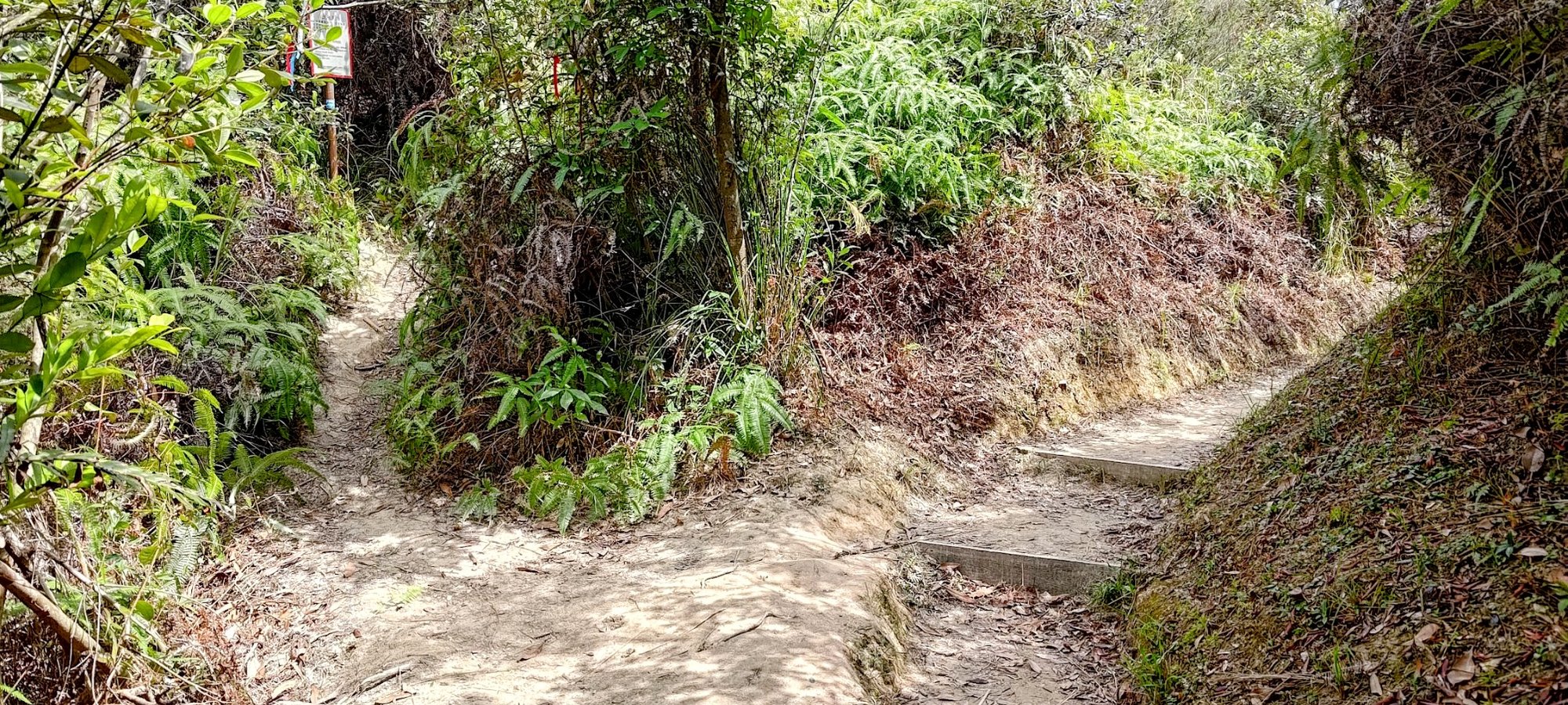
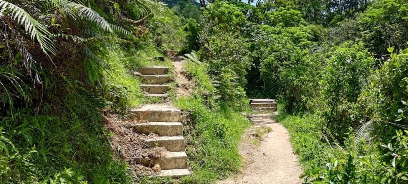
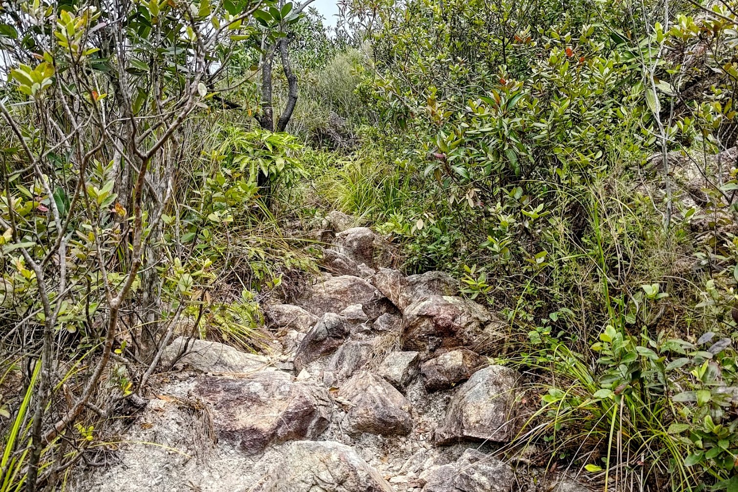
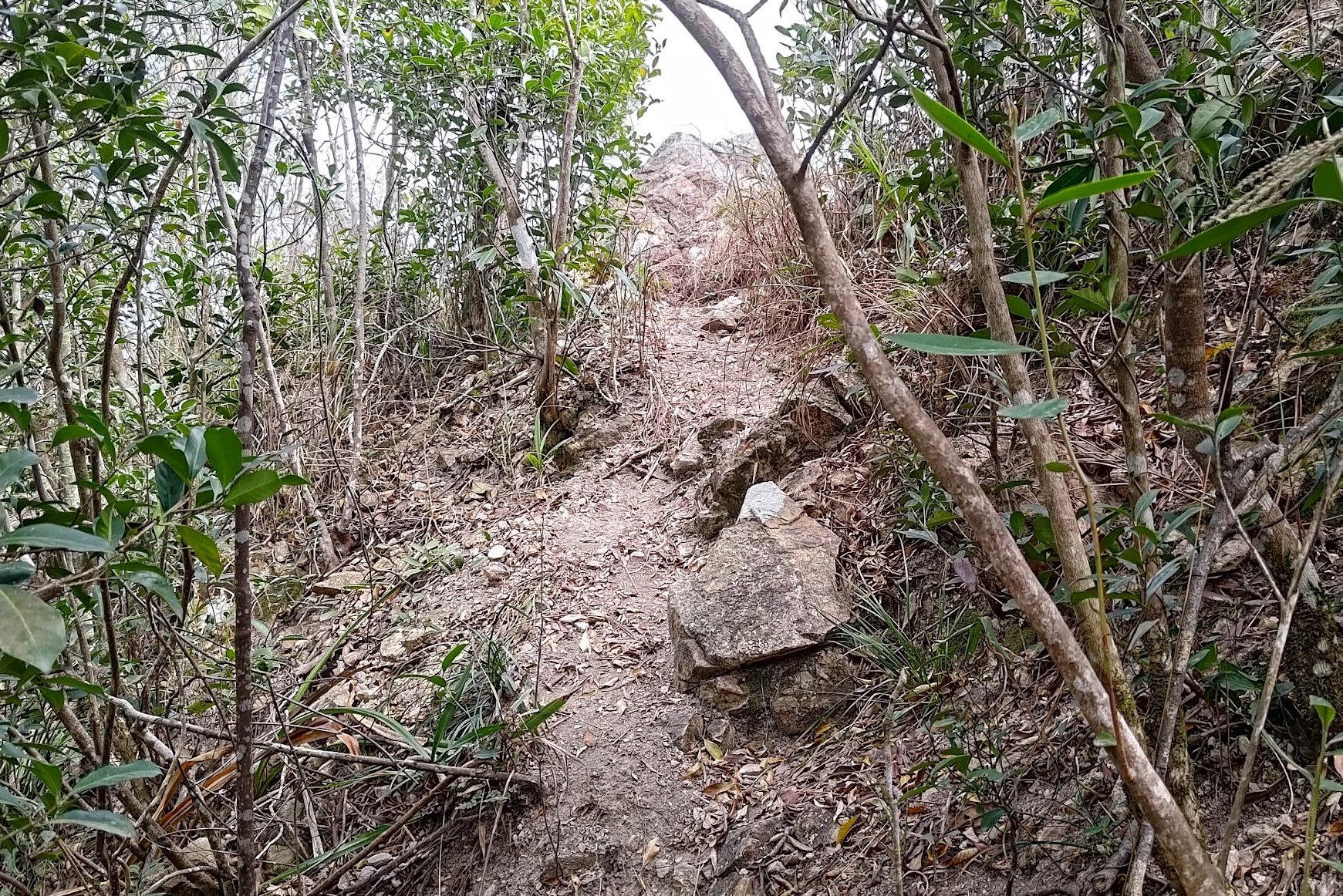
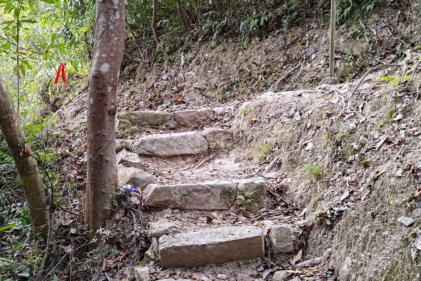
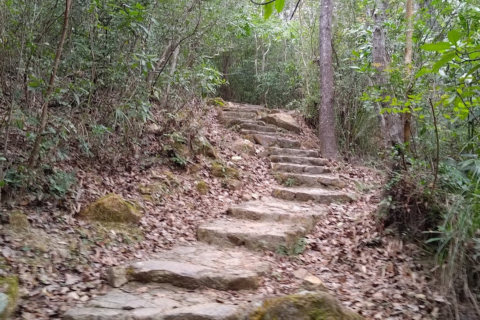
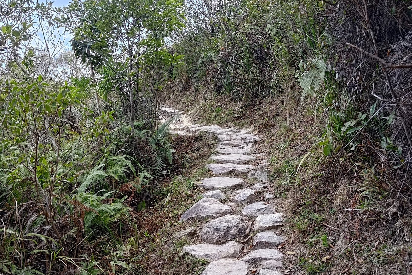
After taking the left fork by the poles and red emergency station, you'll climb a small set of stairs and begin walking along a flat path.
This section just takes a few minutes to complete, so keep your eyes peeled for the fork in the road. When you see it, you'll want to take the left path again.
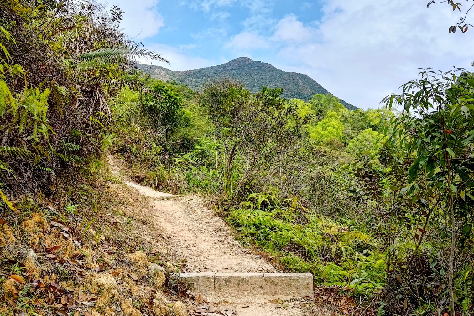
The path up to Tiu Tang Lung is marked by ribbons and a warning sign. This hike really should only be attempted by seasoned hikers.
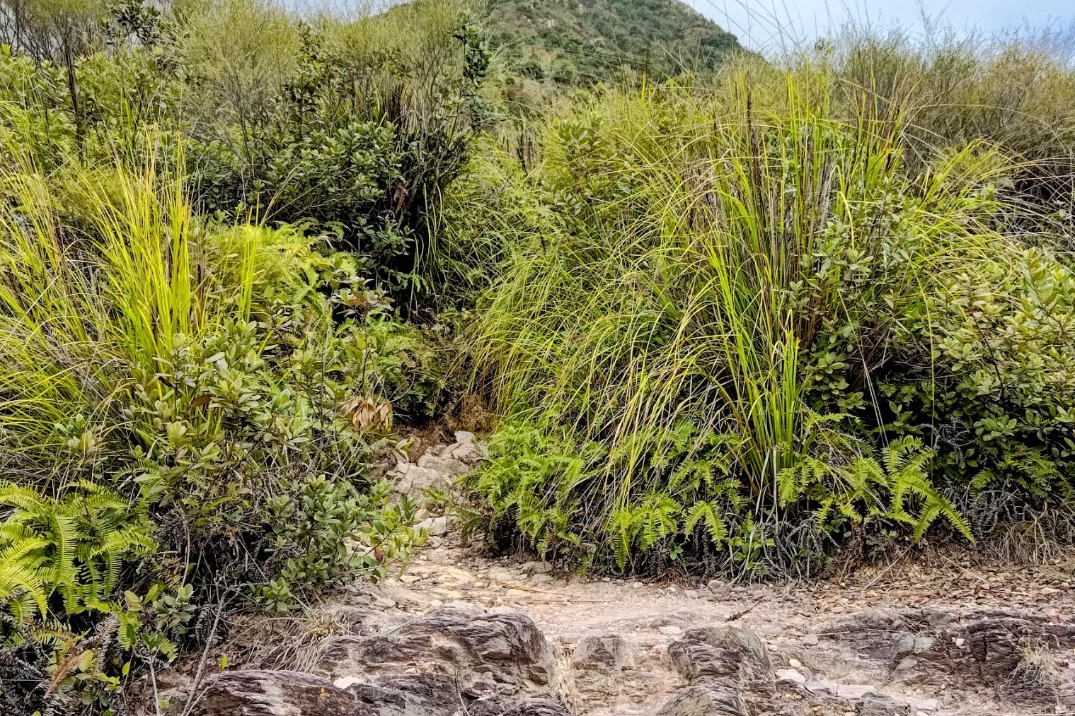
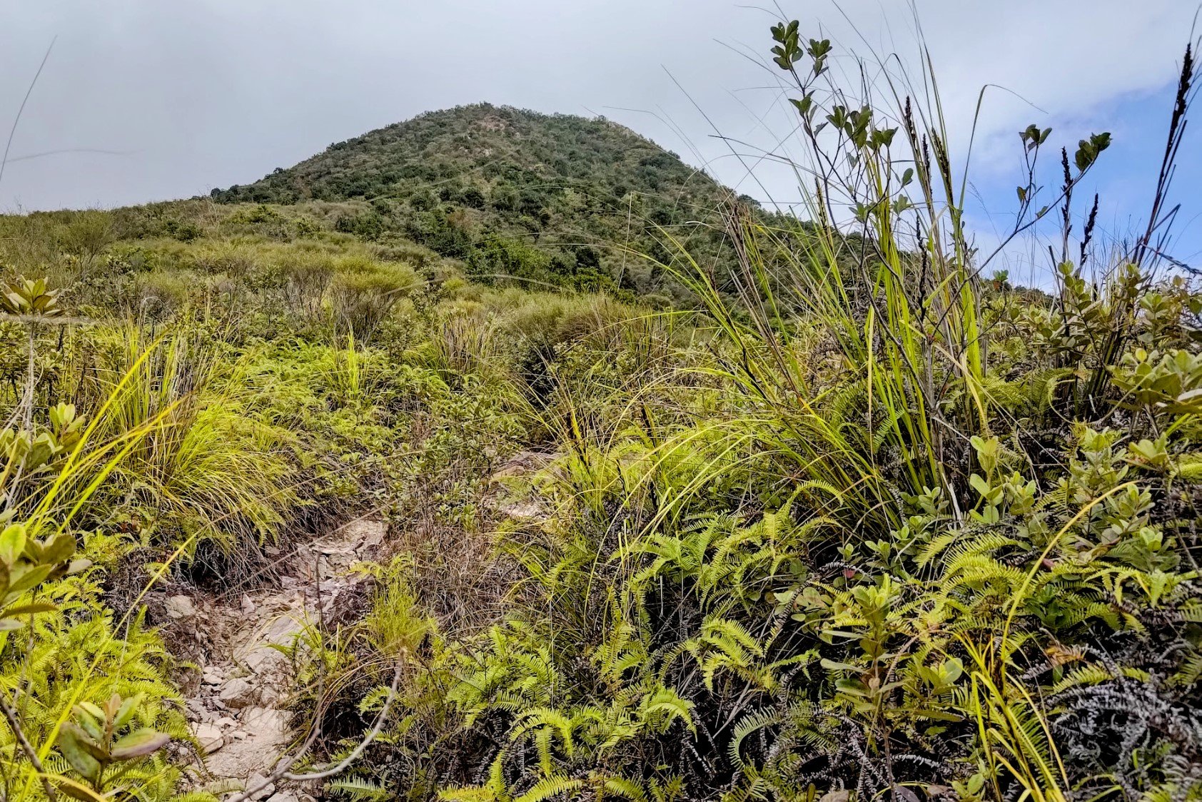
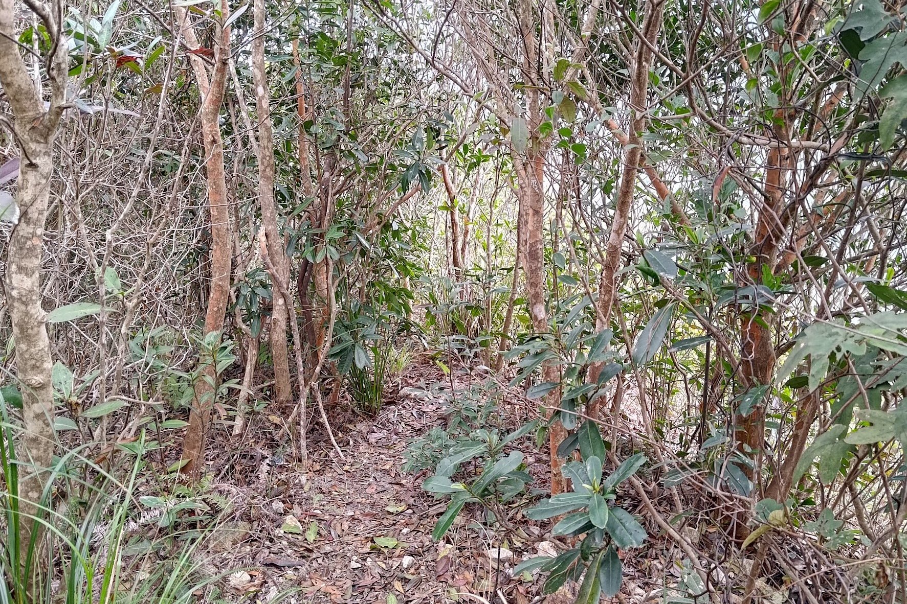
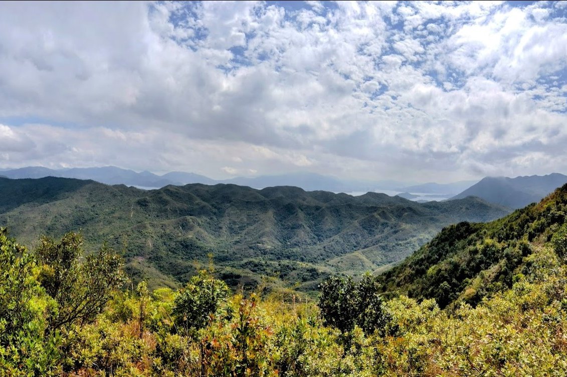
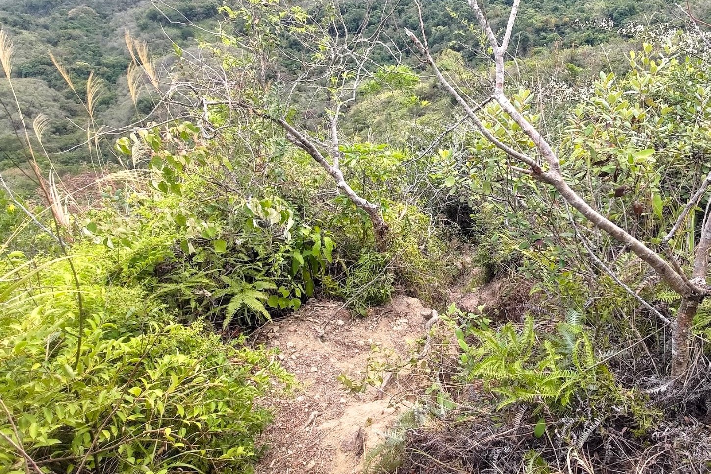
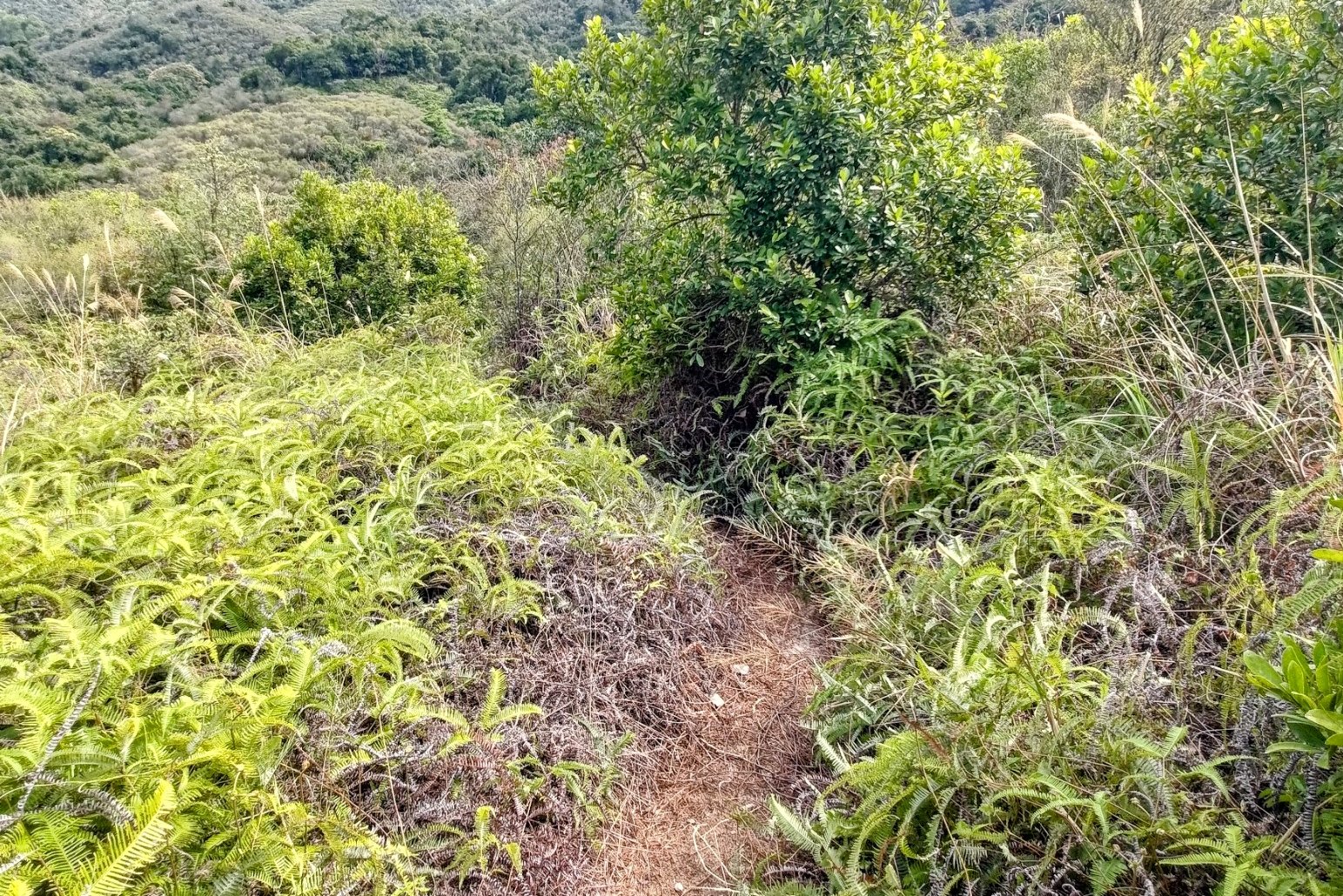
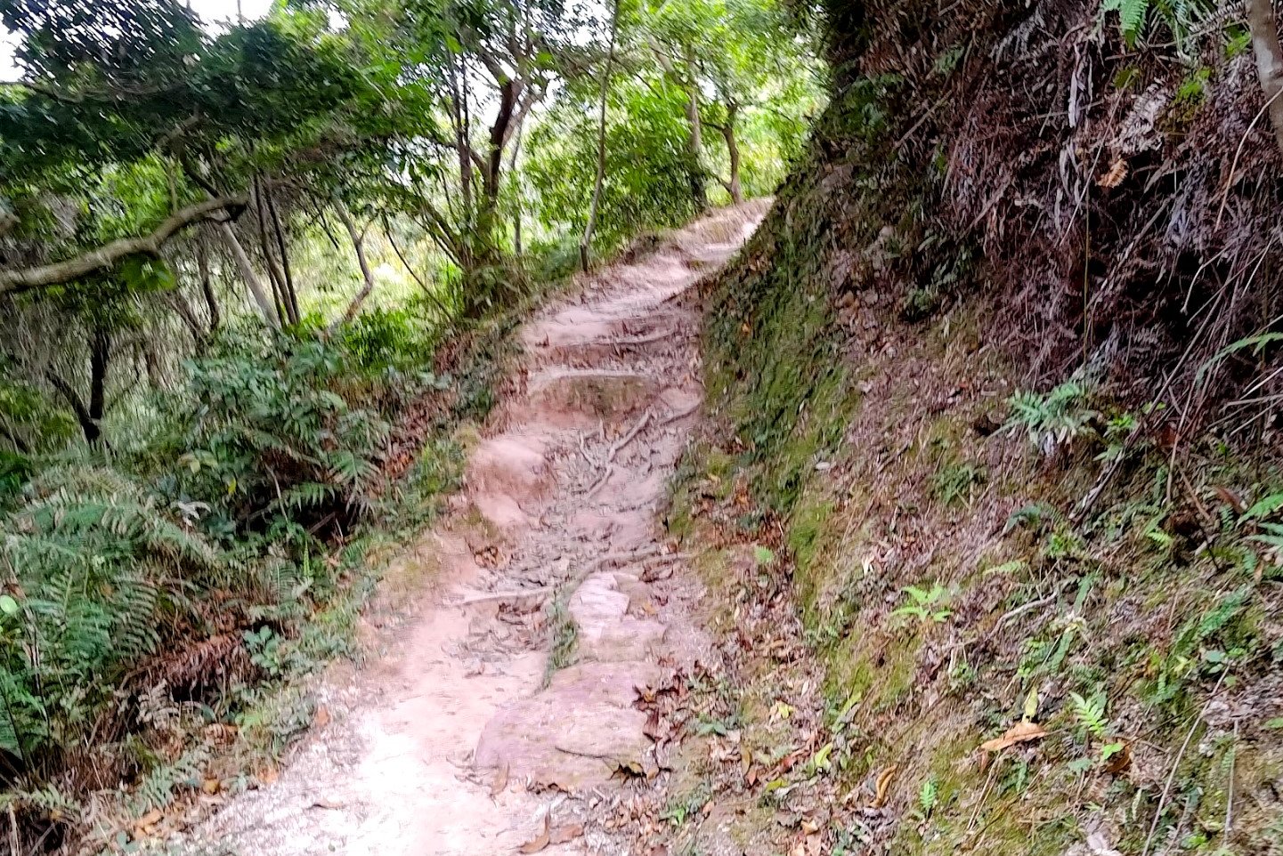
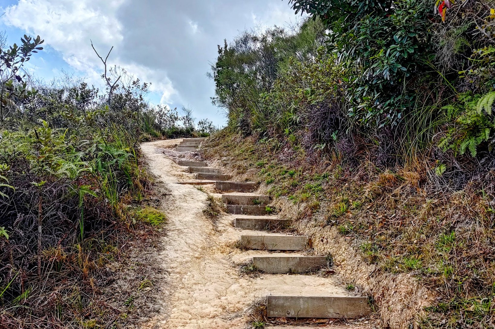
The Tough Climb to Tiu Tang Lung Summit
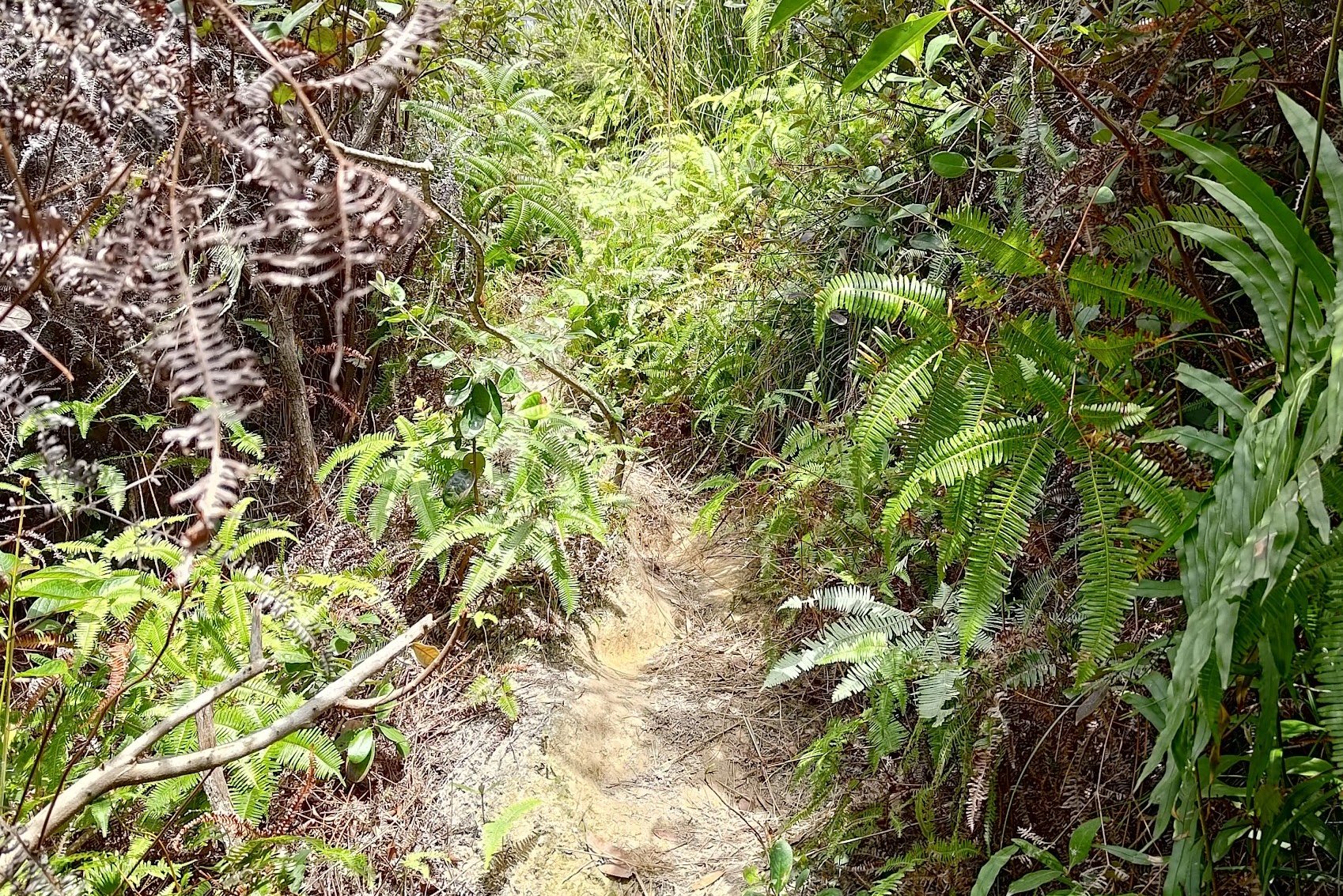
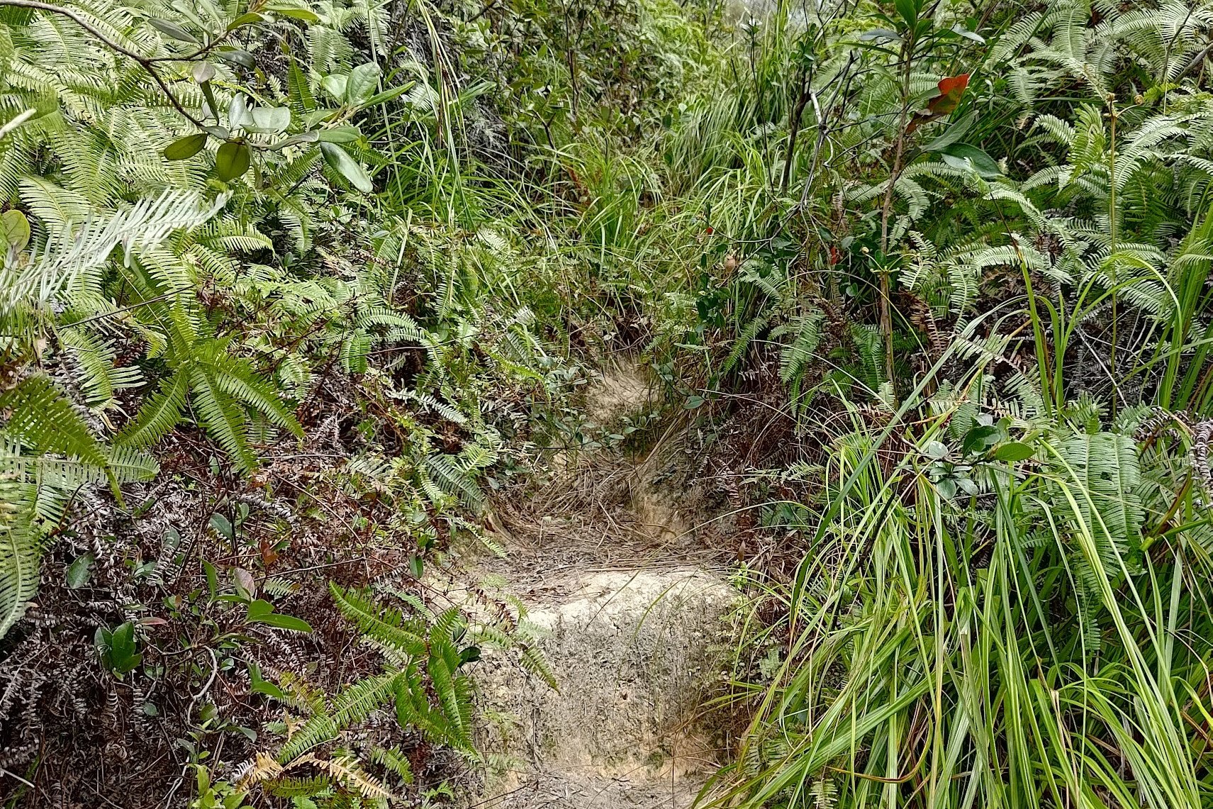
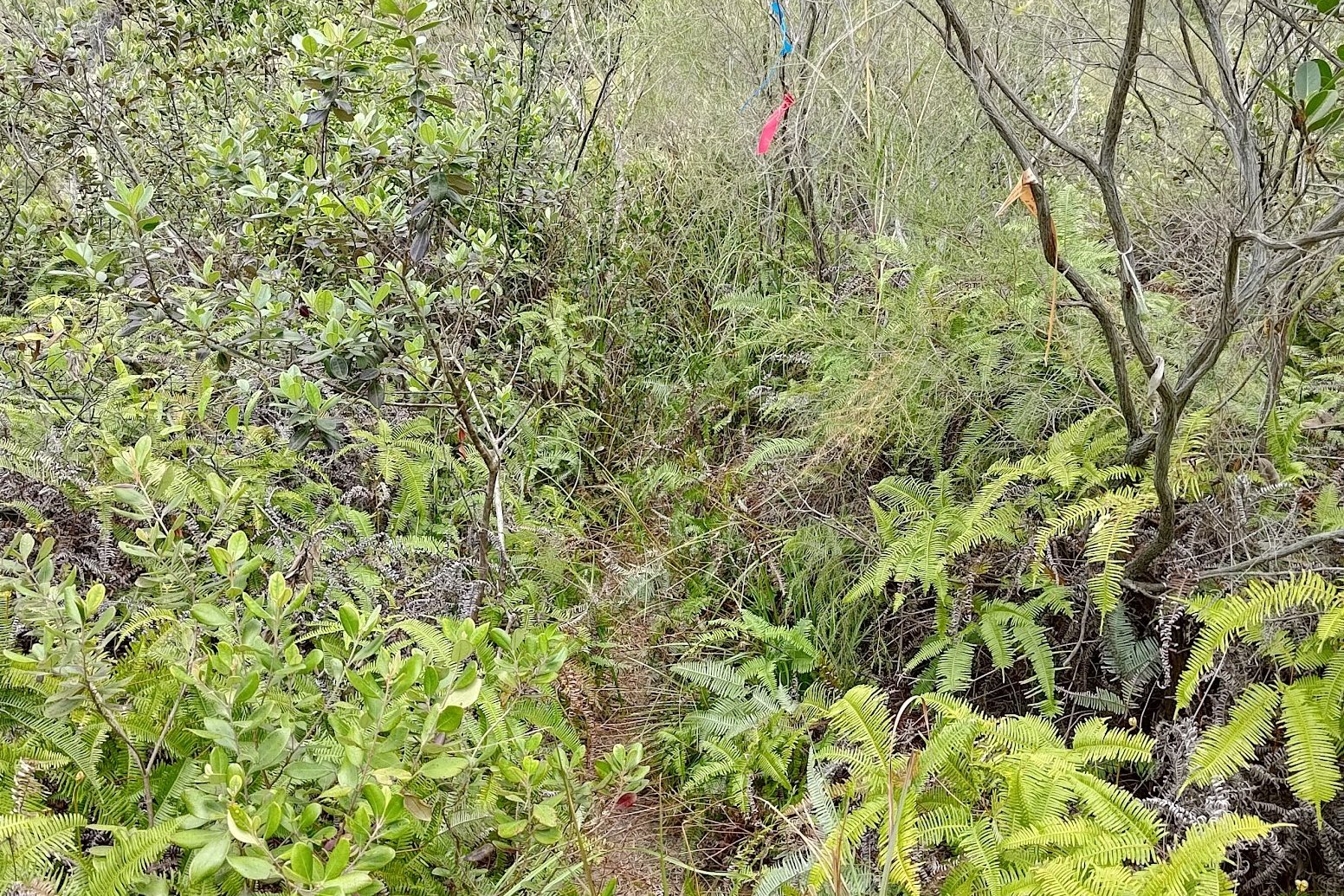

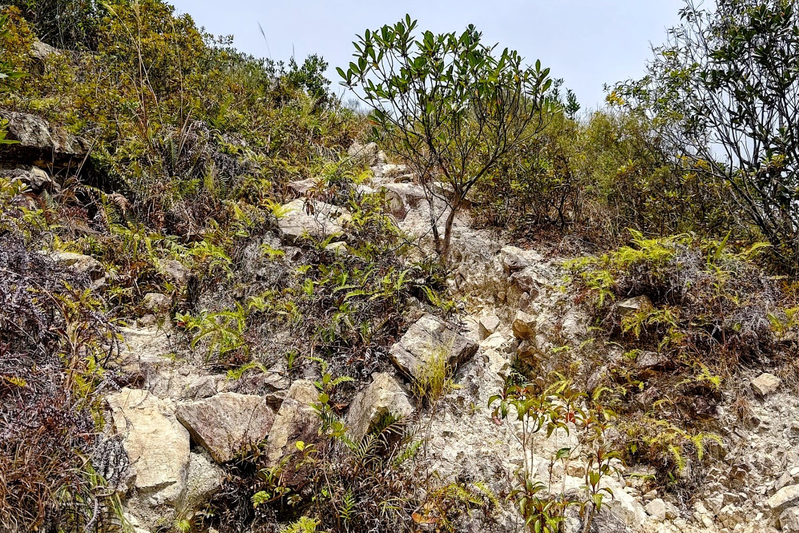
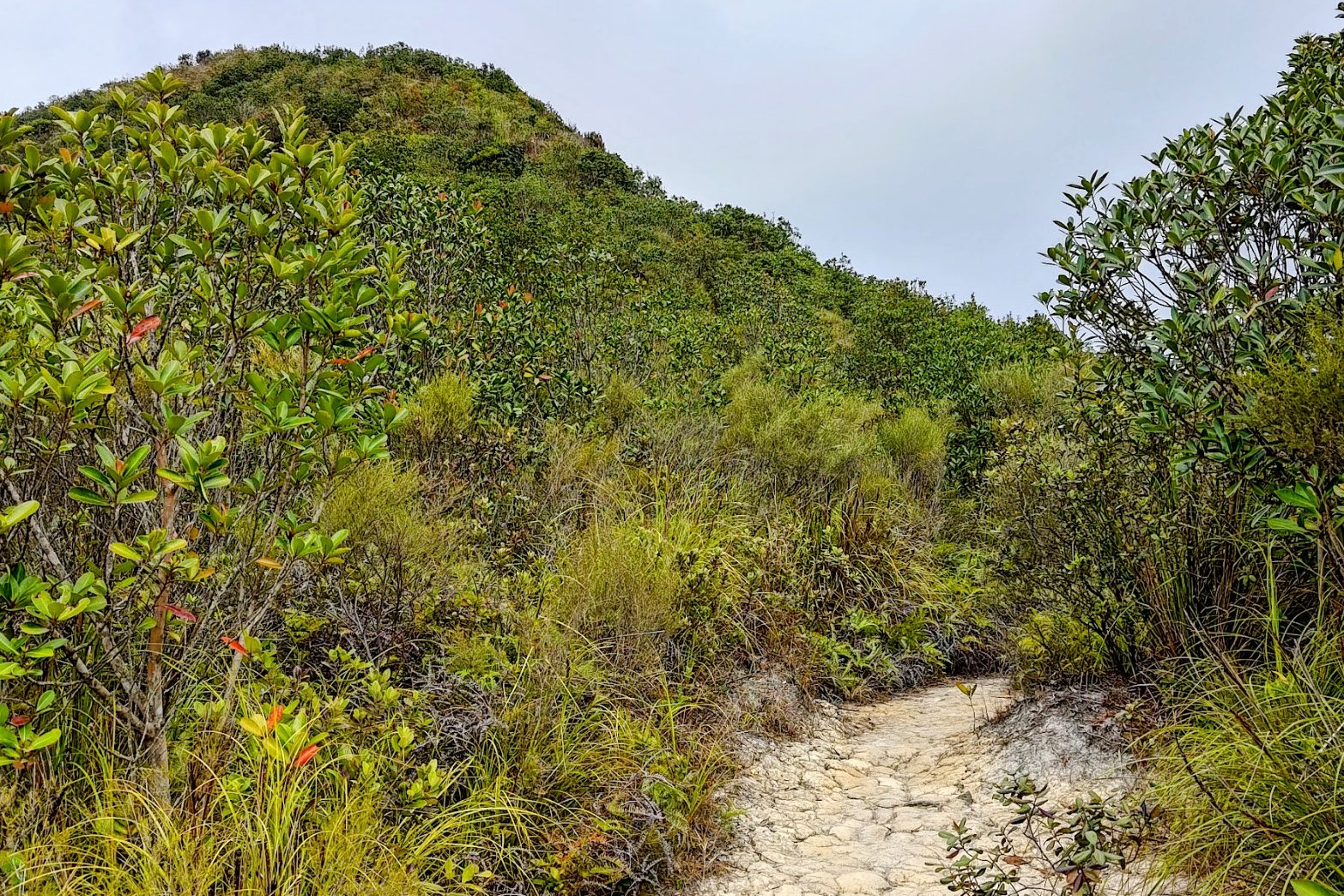
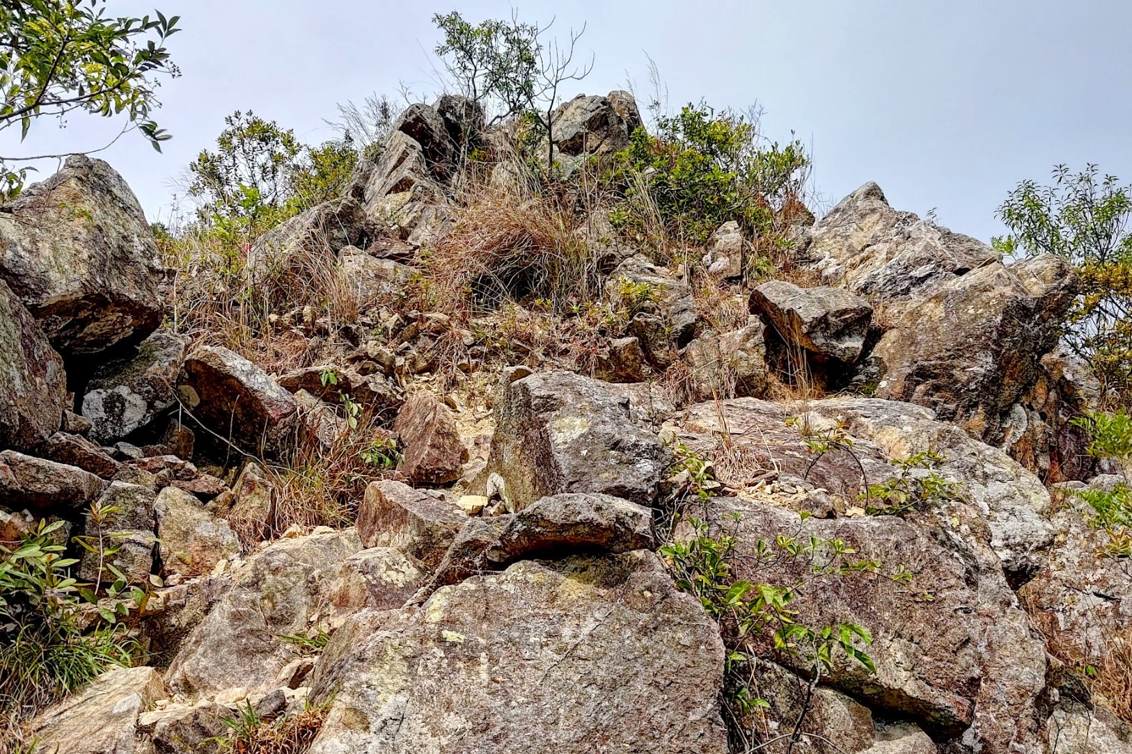

The climb to the top of Tiu Tang Lung took me 30 minutes. Expect it to take longer in summer. Either way, the climb is really steep and quite overgrown in parts so be careful.
That being said, there aren't any areas where you can get lost, so just keep focusing on putting one foot in front of the other and you'll be at the top before you know it!
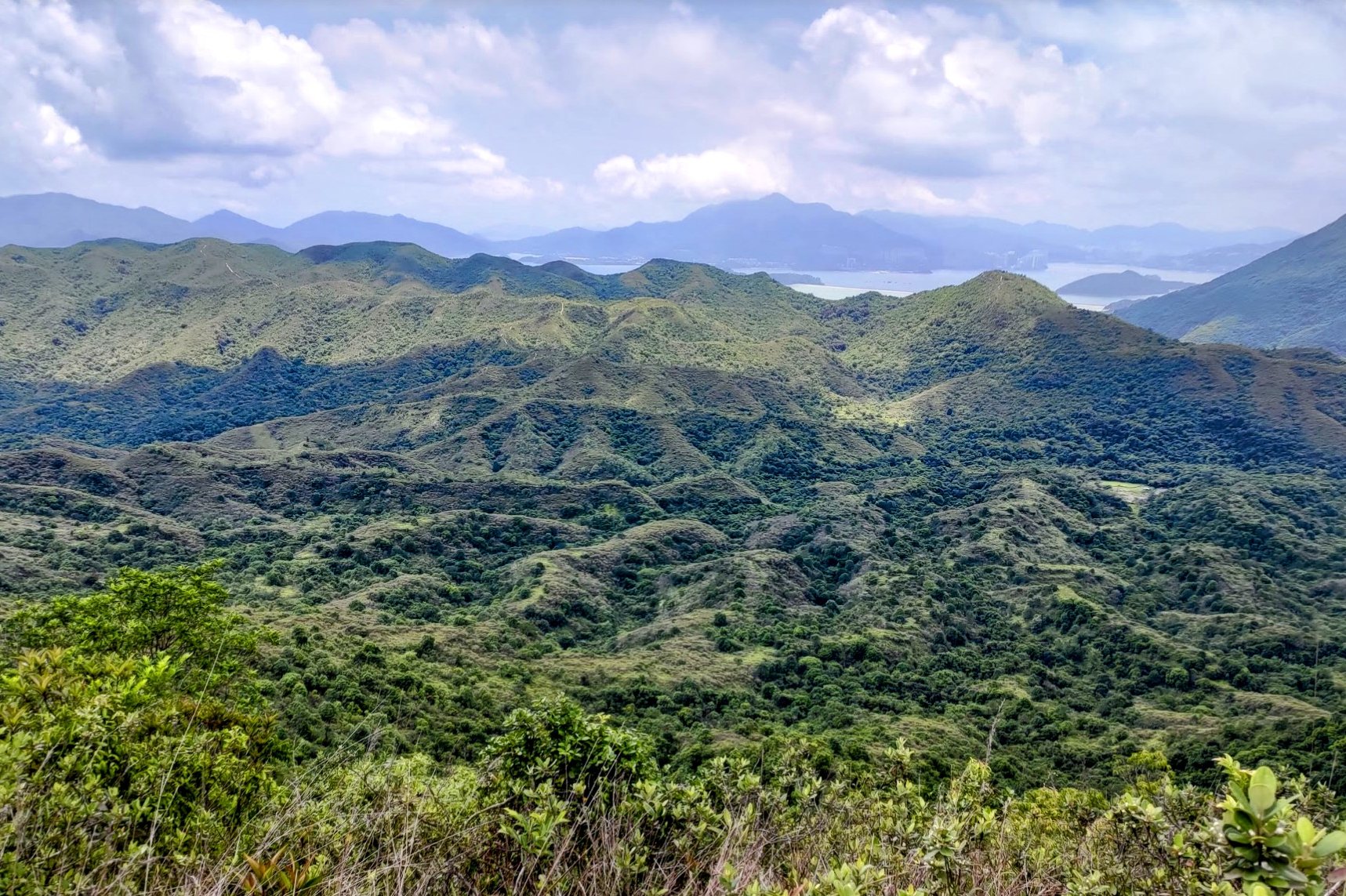
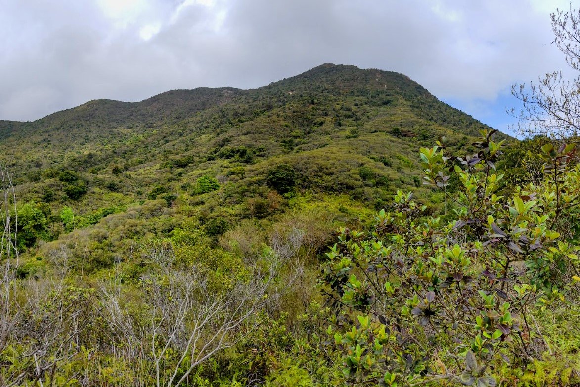
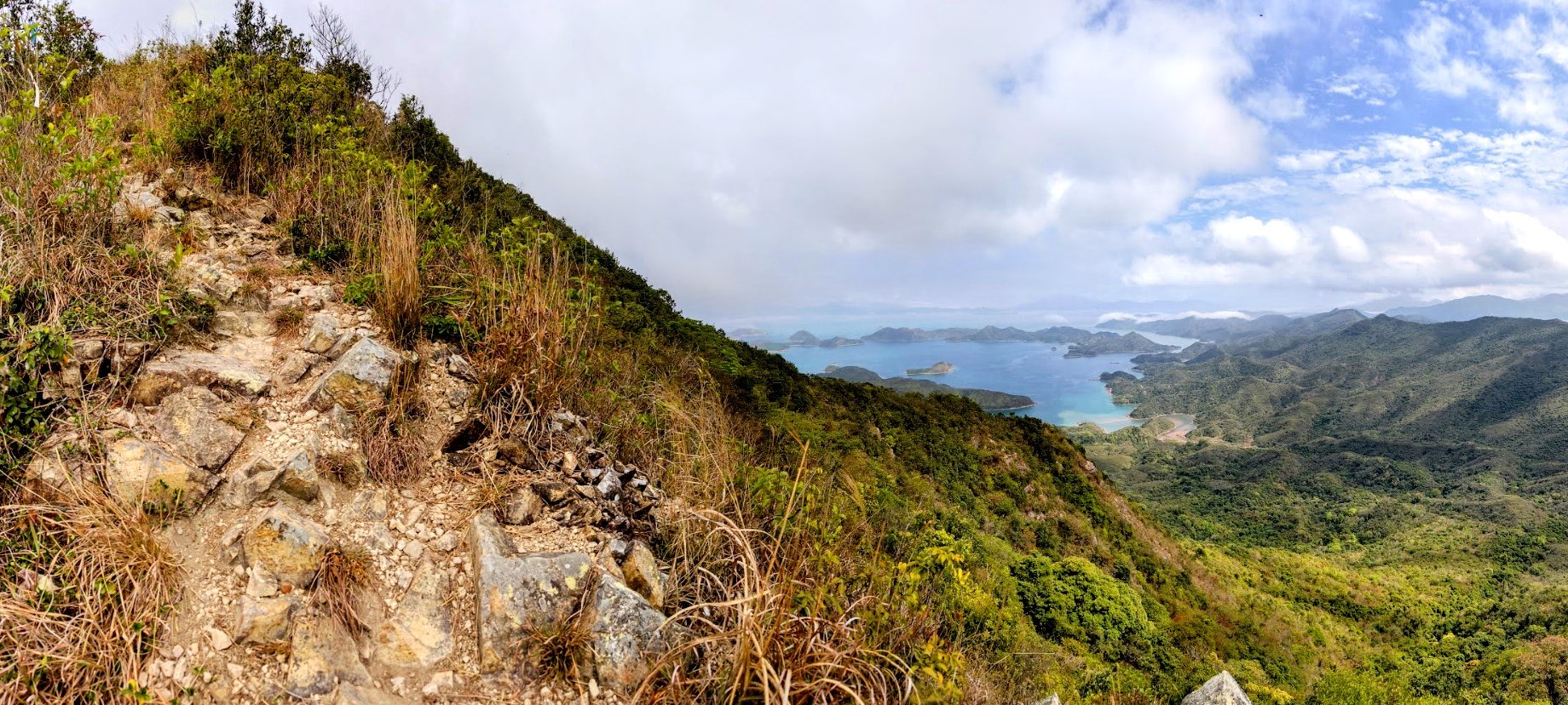
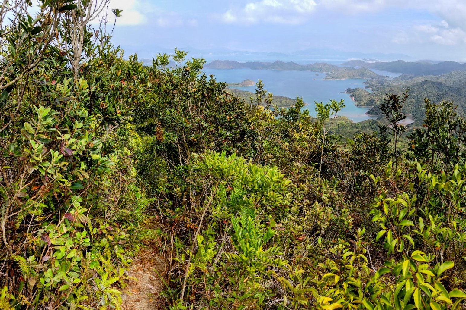
The views get progressively more impressive the higher you get with verdant mountainscapes featuring Pat Sin Leng along with vistas of Mirs Bay closer to the summit.
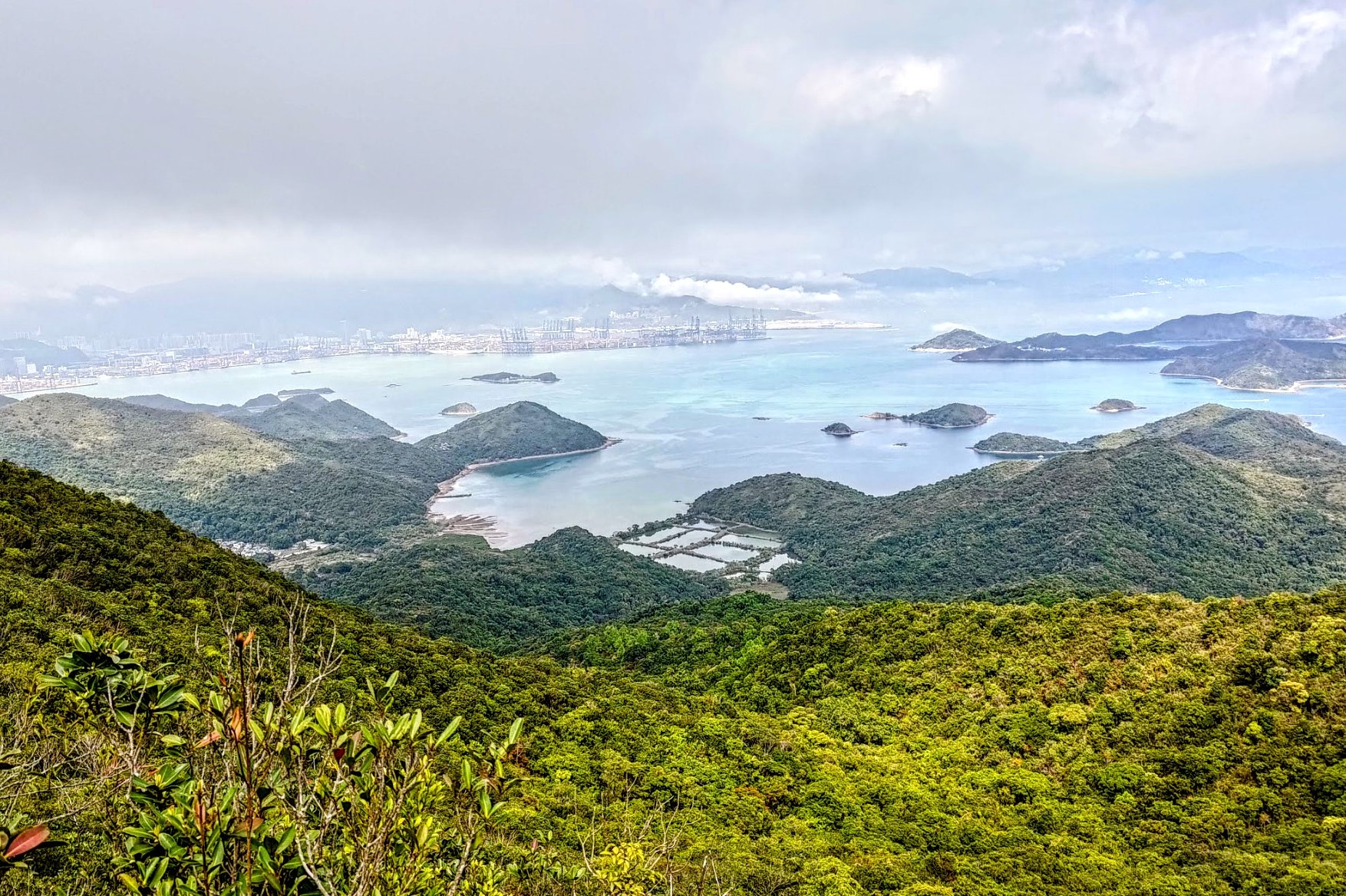
Tiu Tang Lung Summit Views
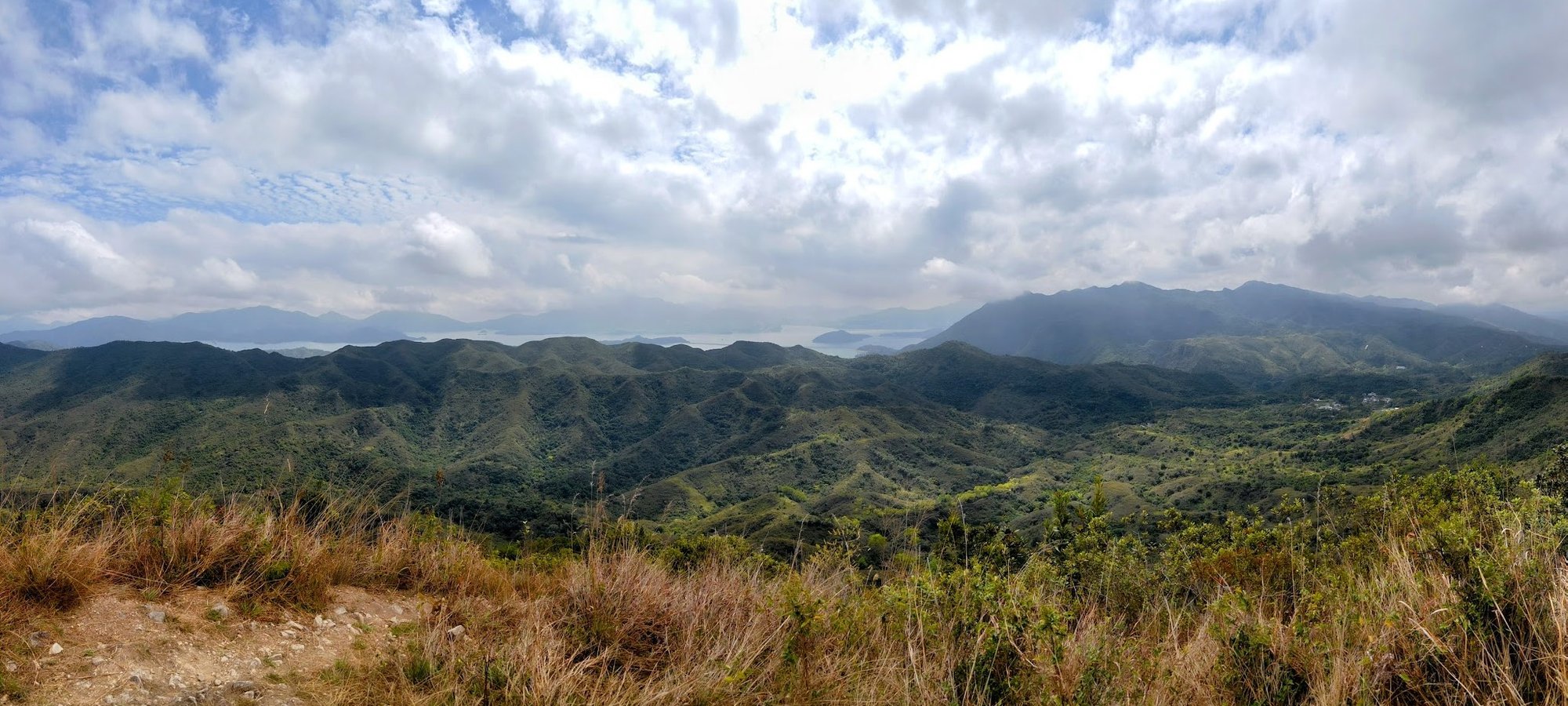

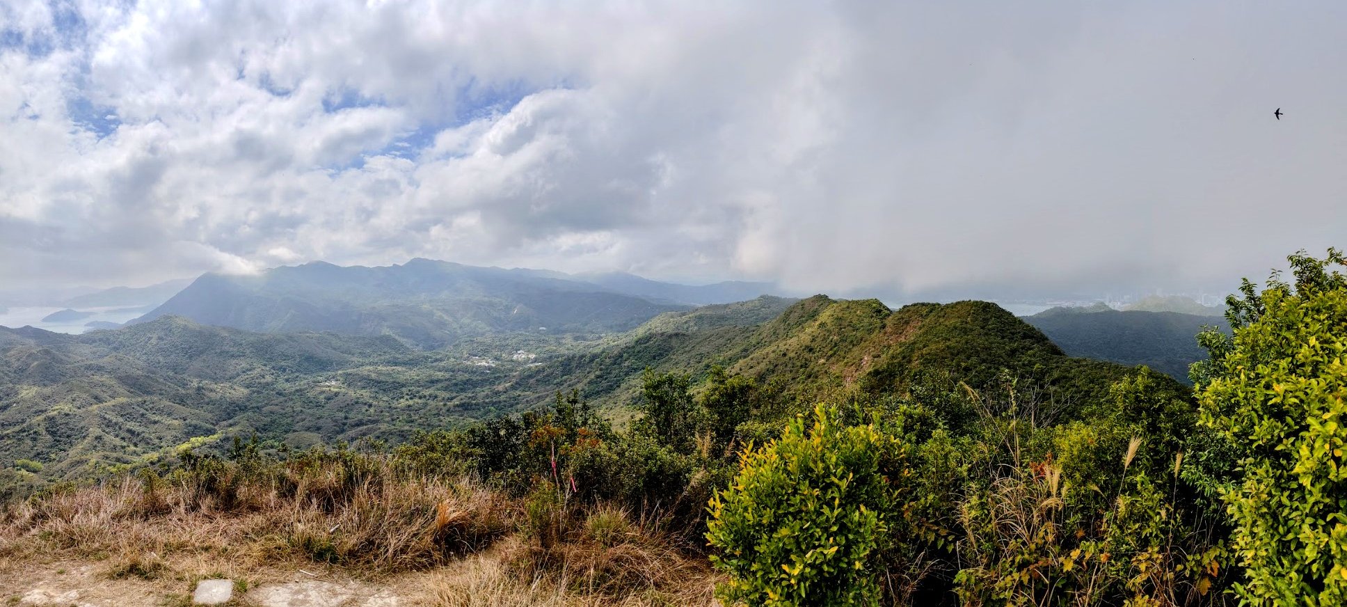


The views from the summit of Tiu Tang Lung are seriously impressive. I particularly enjoyed the mountain vistas of Pat Sin Leng!
On a clear day, you can also see all the way to Shenzhen across Mirs Bay. It's truly a one of a kind viewpoint in Hong Kong!
Getting to the Descent Point

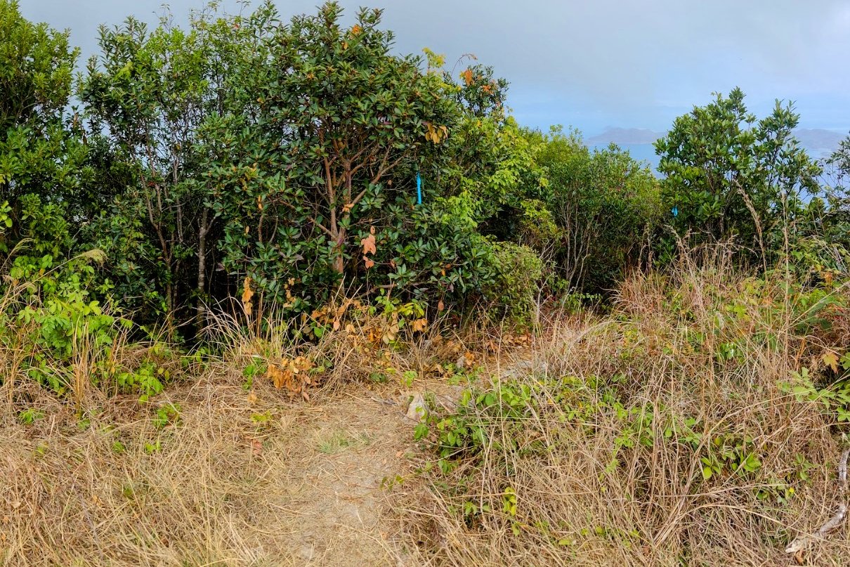
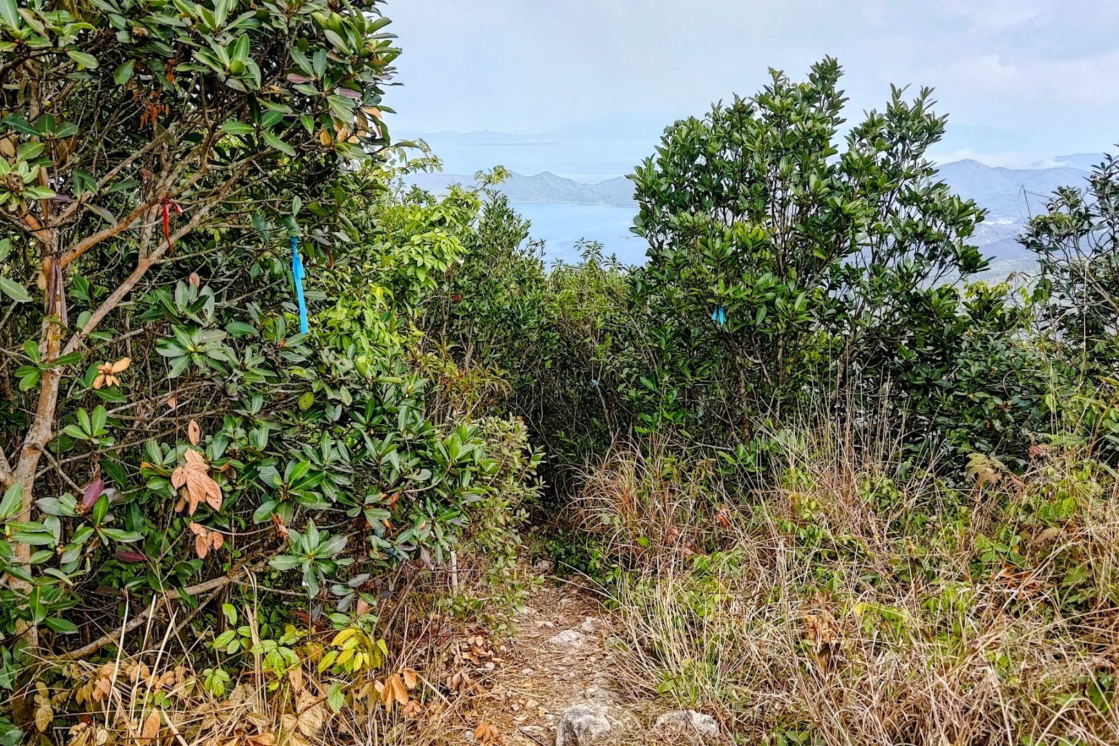


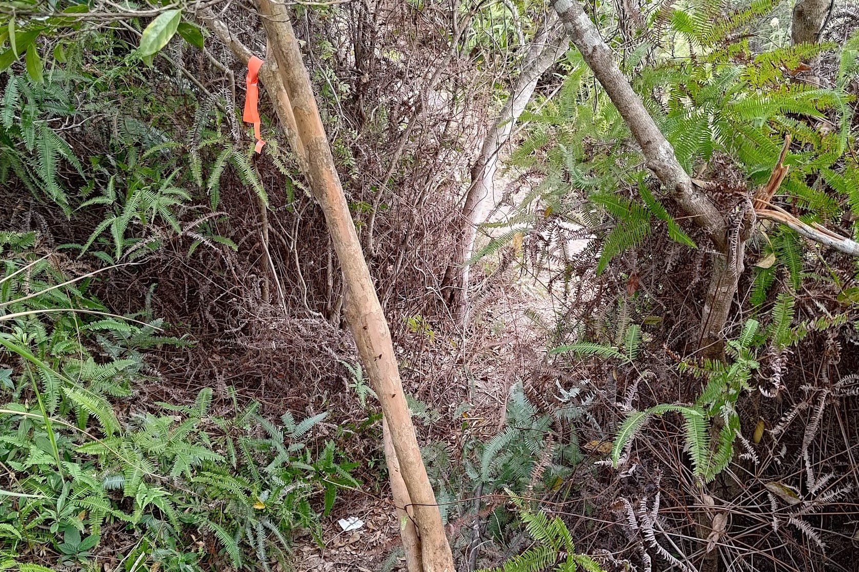
This section of the hike takes just a few minutes, but is SUPER IMPORTANT. From the summit, take the ribboned path that overlooks Mirs Bay.
From there, walk straight for a bit until you arrive at a spot where there are two separate paths. One path goes straight ahead and is marked with ribbons. DO NOT TAKE THIS PATH.
The other path is unmarked and has epic views of Mirs Bay. TAKE THIS PATH. If you're using Google Maps, the path is marked as Tiu Tang Lung Path.
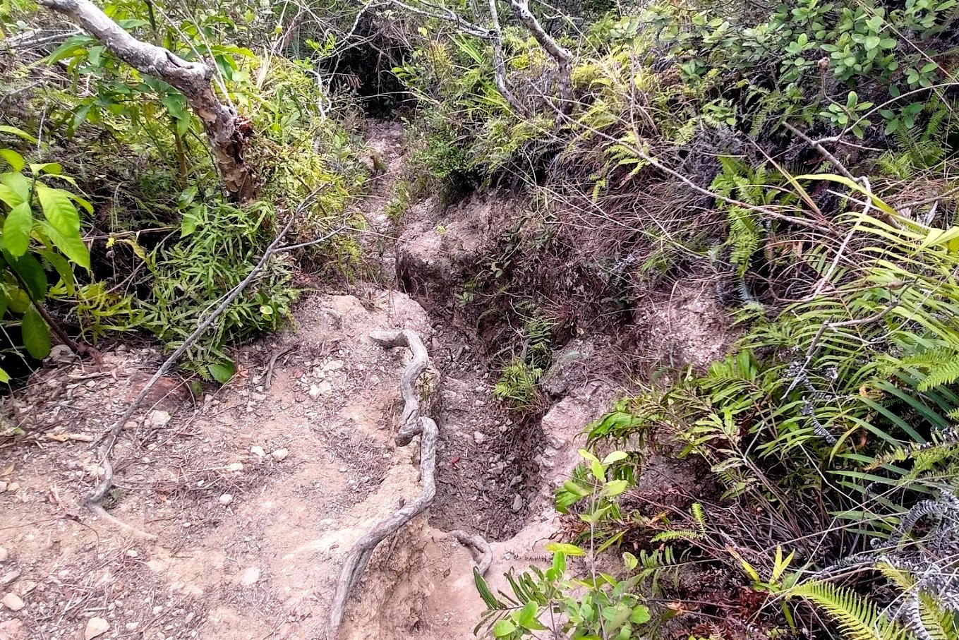
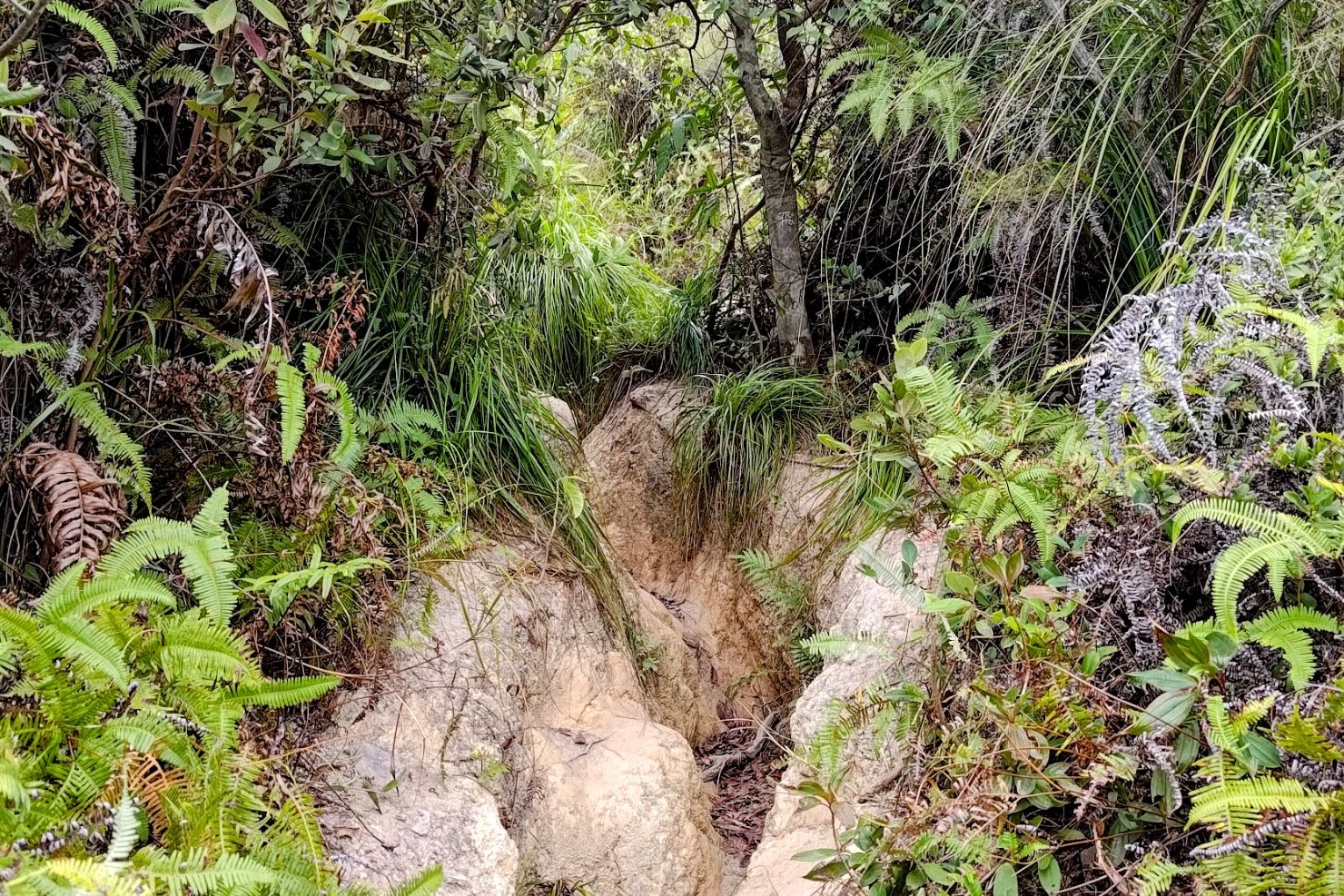
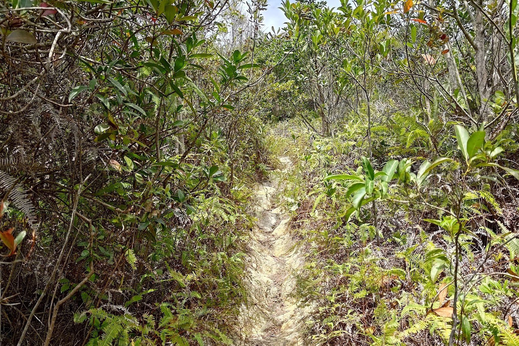
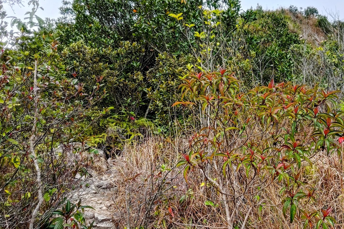
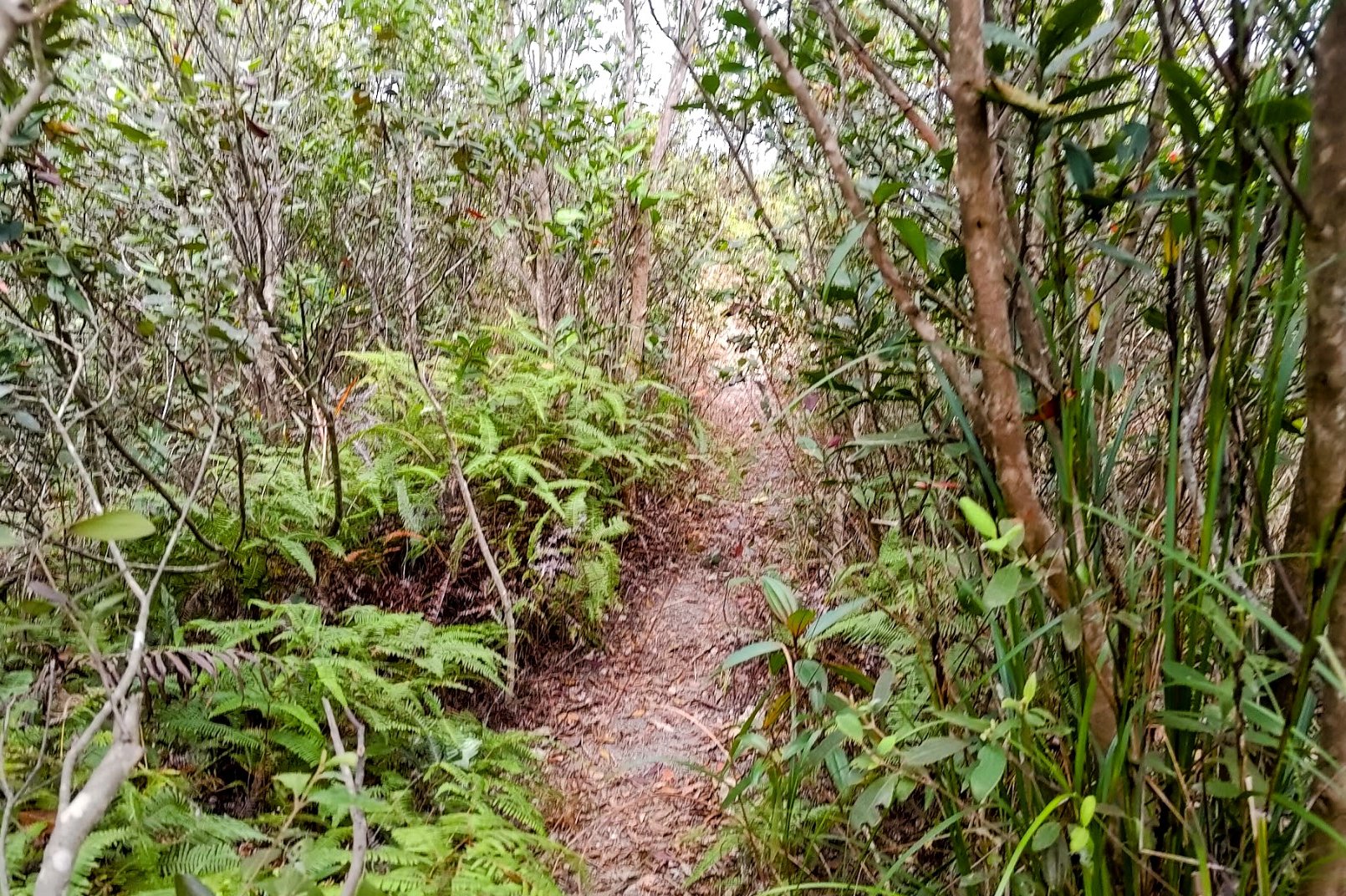
Descending Tiu Tang Lung


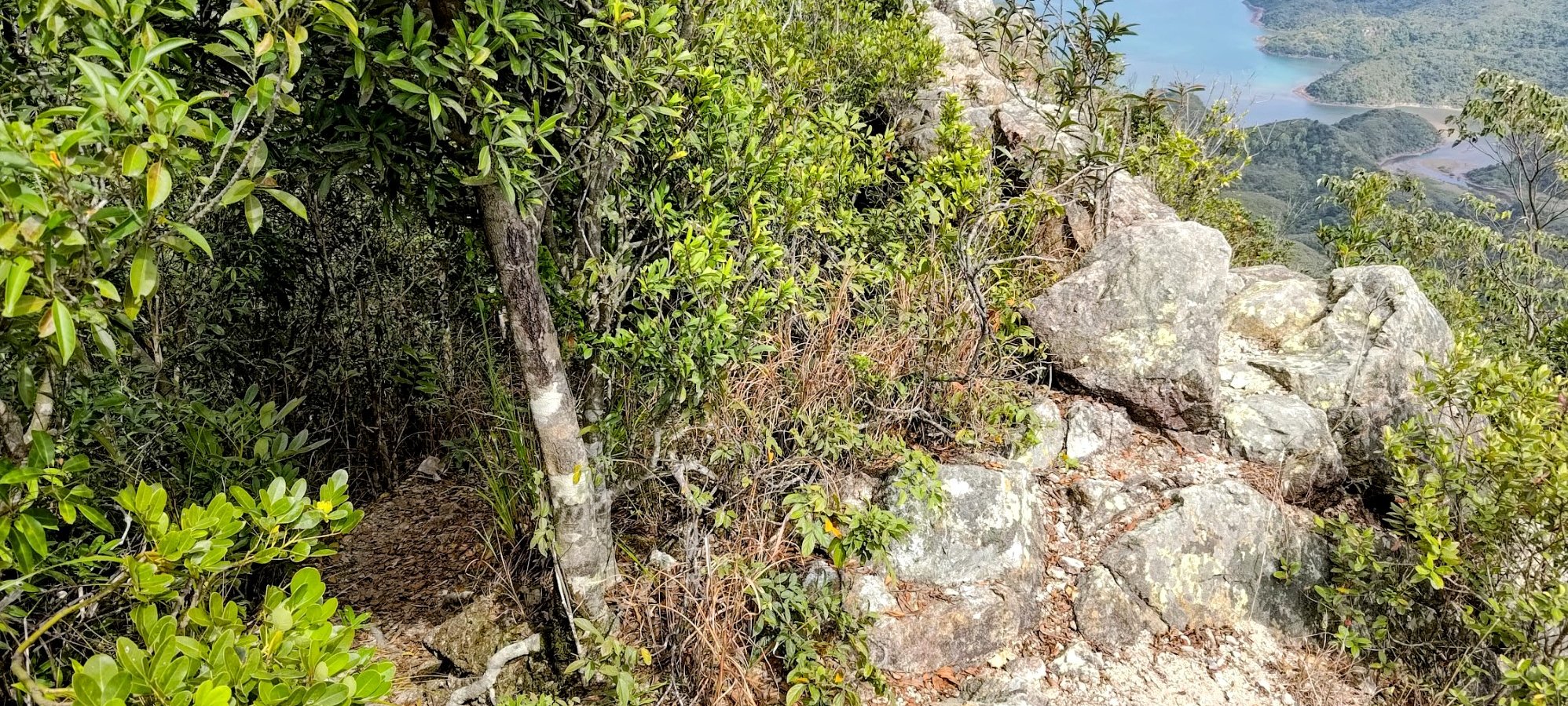


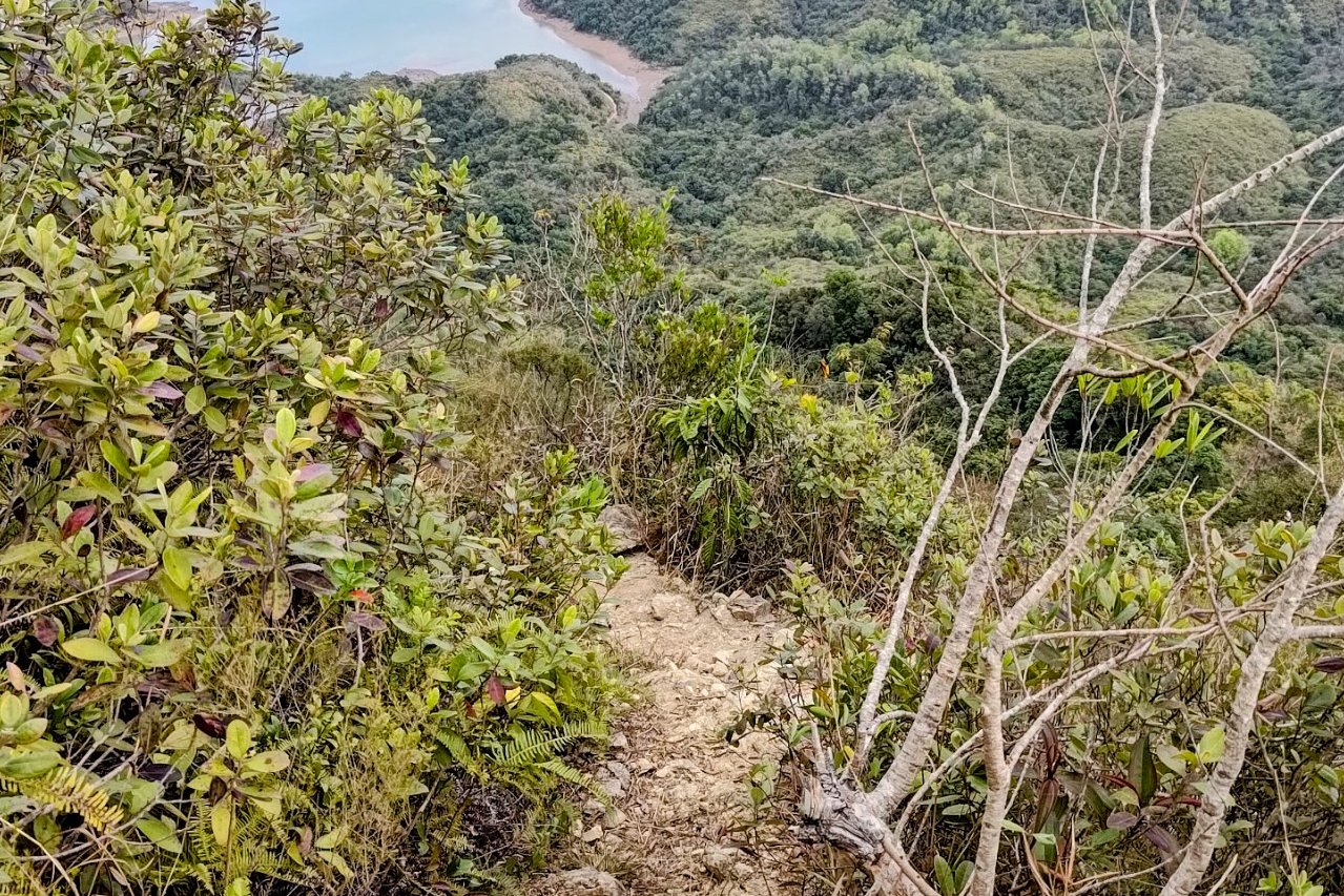


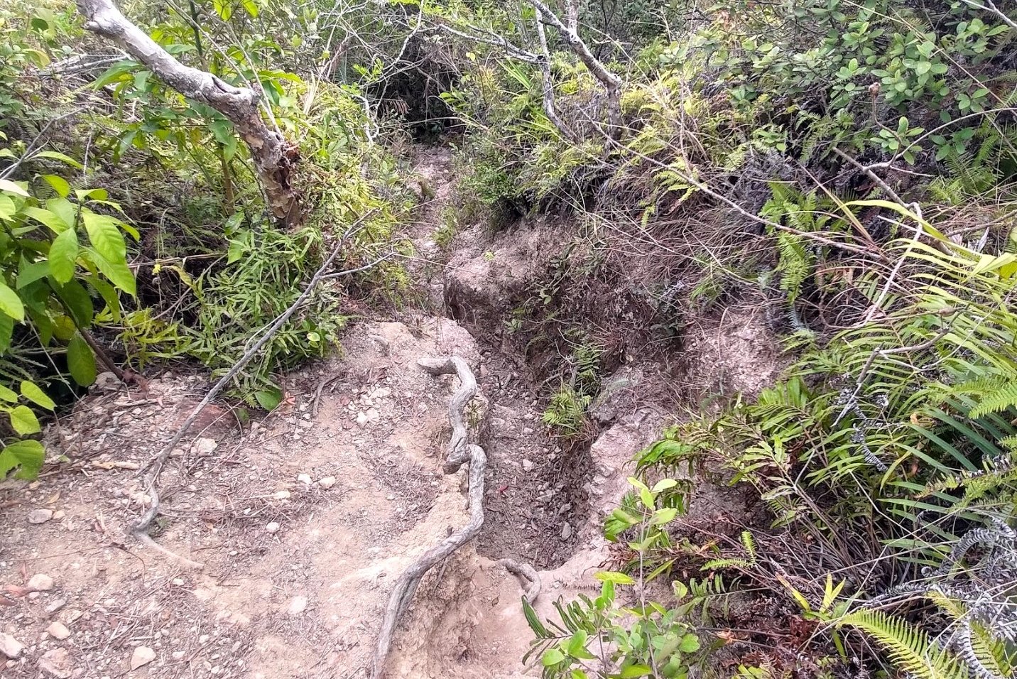

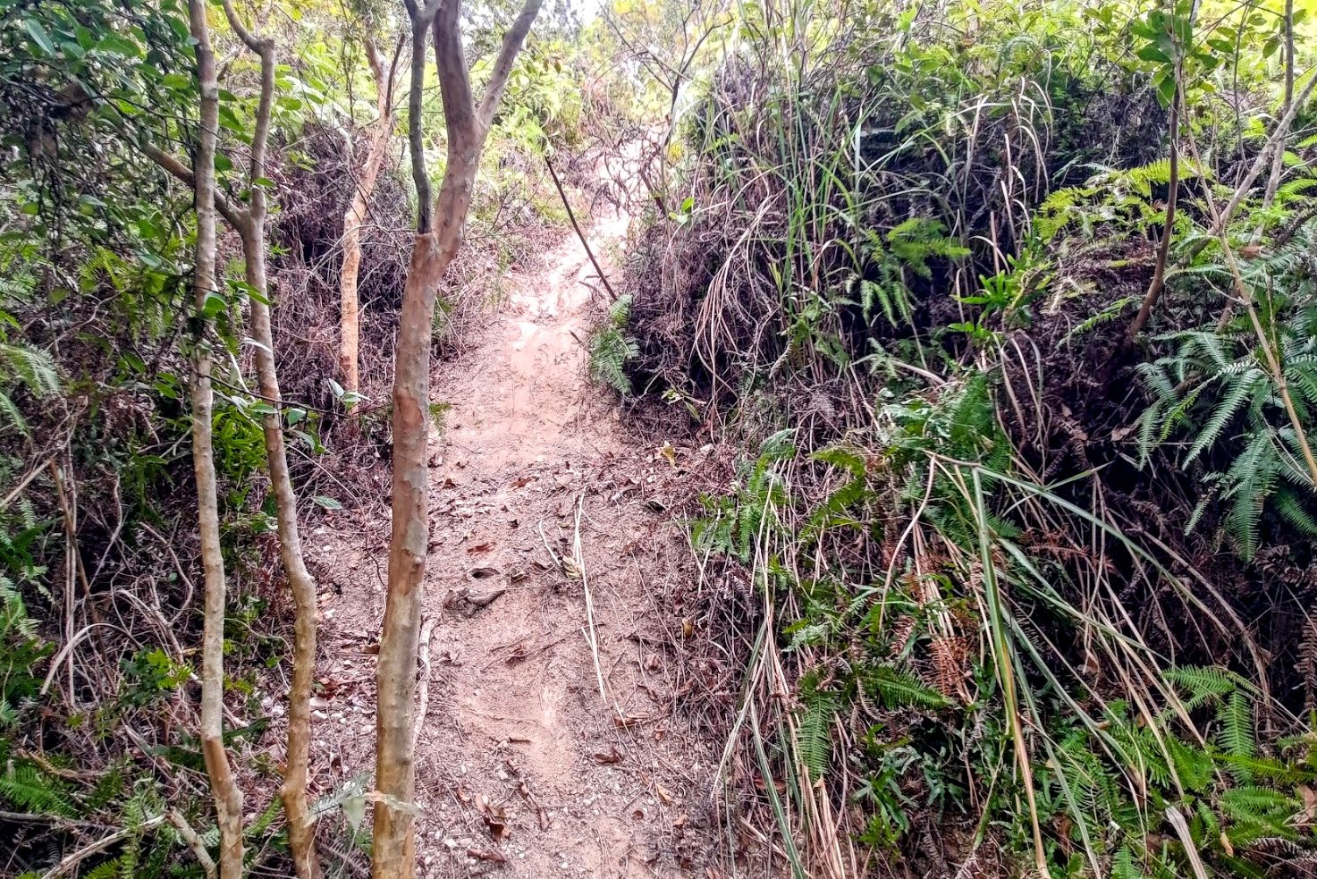
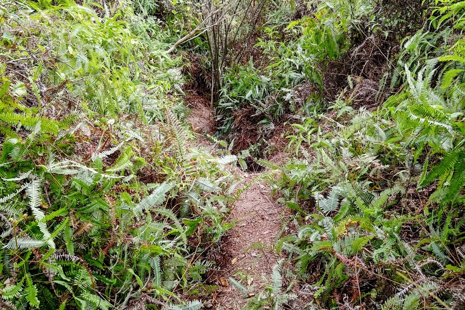
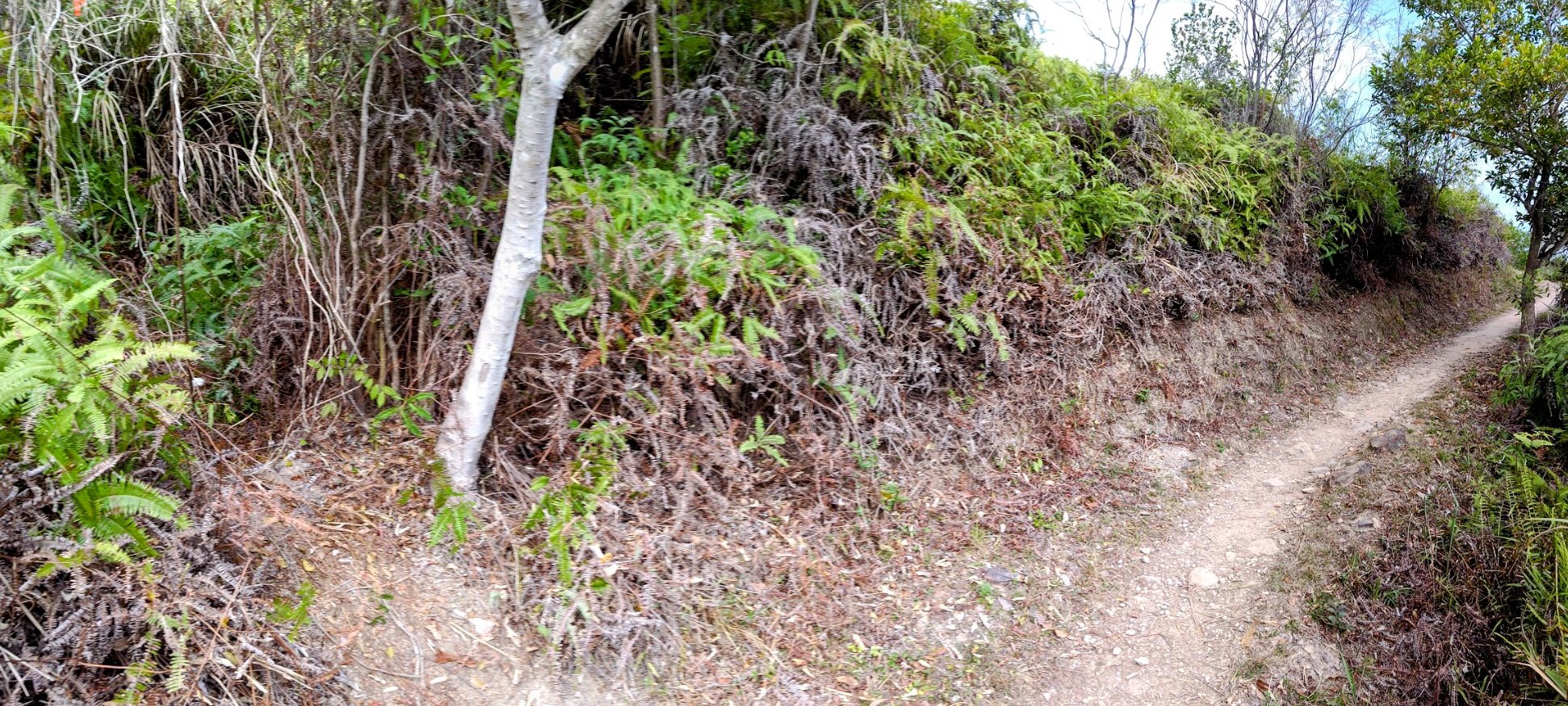
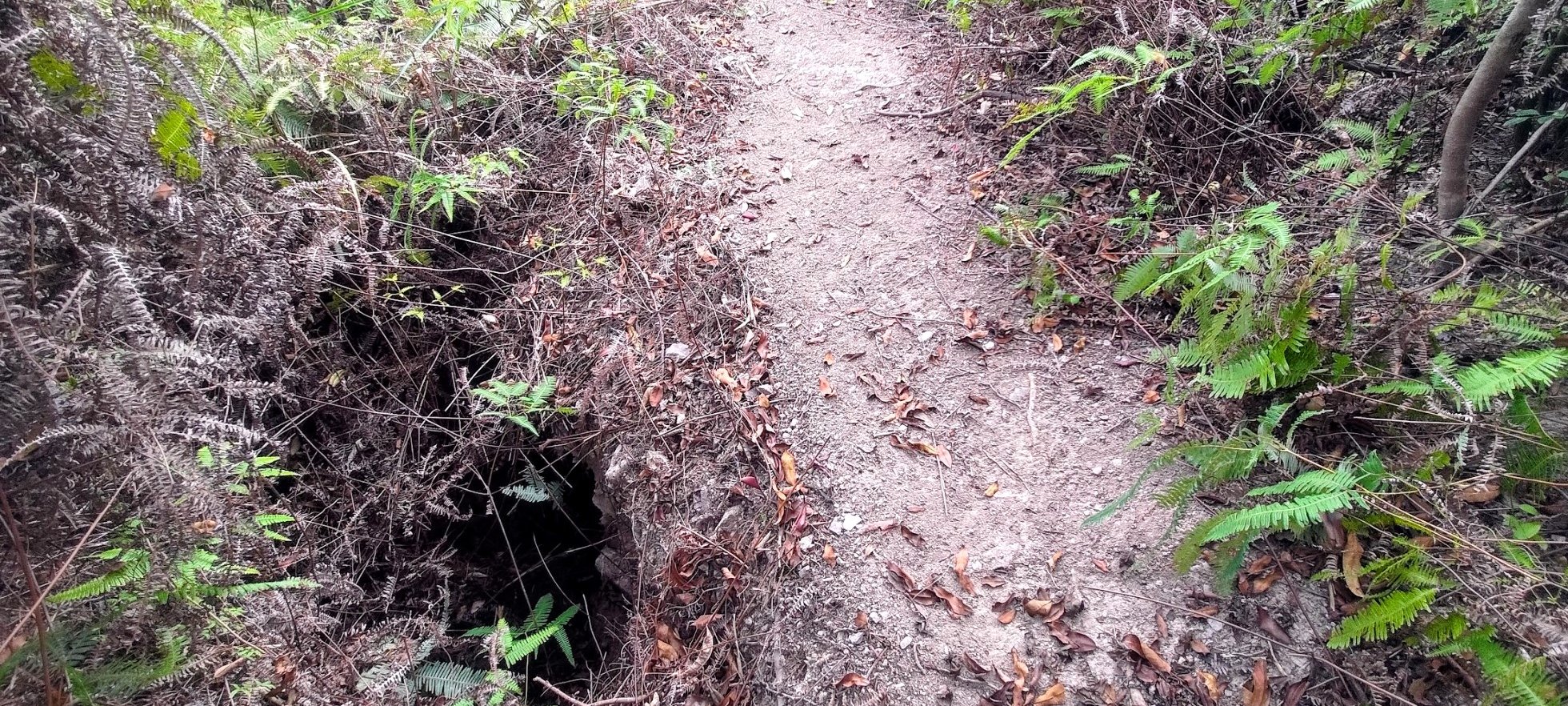
It took an hour and ten minutes to complete the downhill portion of this hike, which is over double the amount of time it took me to get to the summit. While the initial portion of the downhill is very manageable with only a few tricky sections, the latter part is seriously tough.
You'll be lulled into a false sense of safety with stunning views of Mirs Bay to bolster you as you make your way back to the main trail. The last 150 meters of descent are REALLY TREACHEROUS though. Steep, silty slopes, random holes, slanted paths and loads of loose rocks make this section of the trail very technical.
It's all doable if you're experienced with going off-trail, but this would not be a good hike for beginners to tackle.
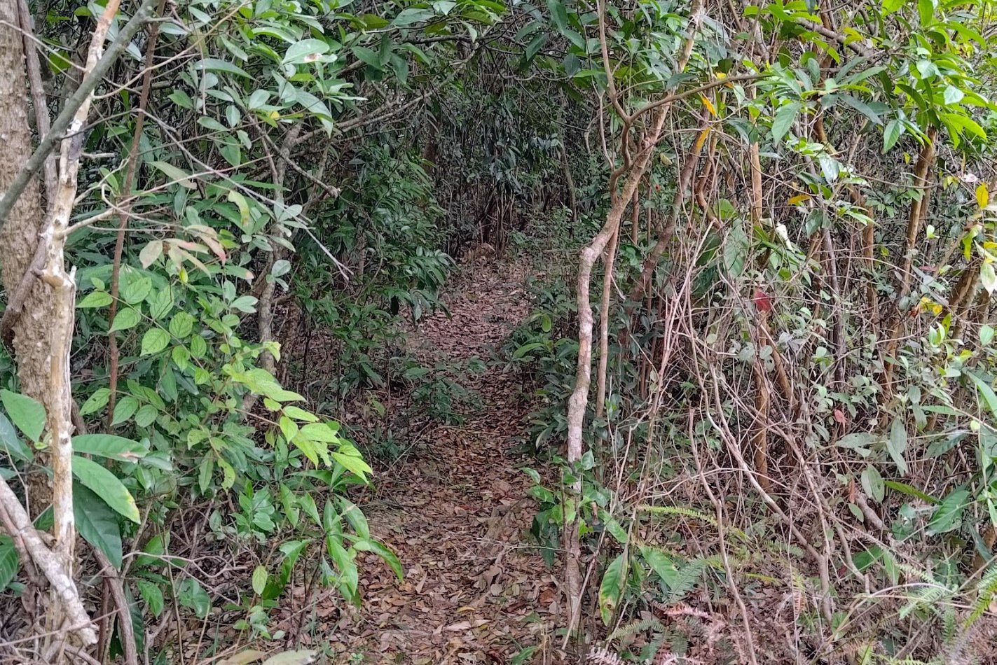
Heading Back to Wu Kau Tang

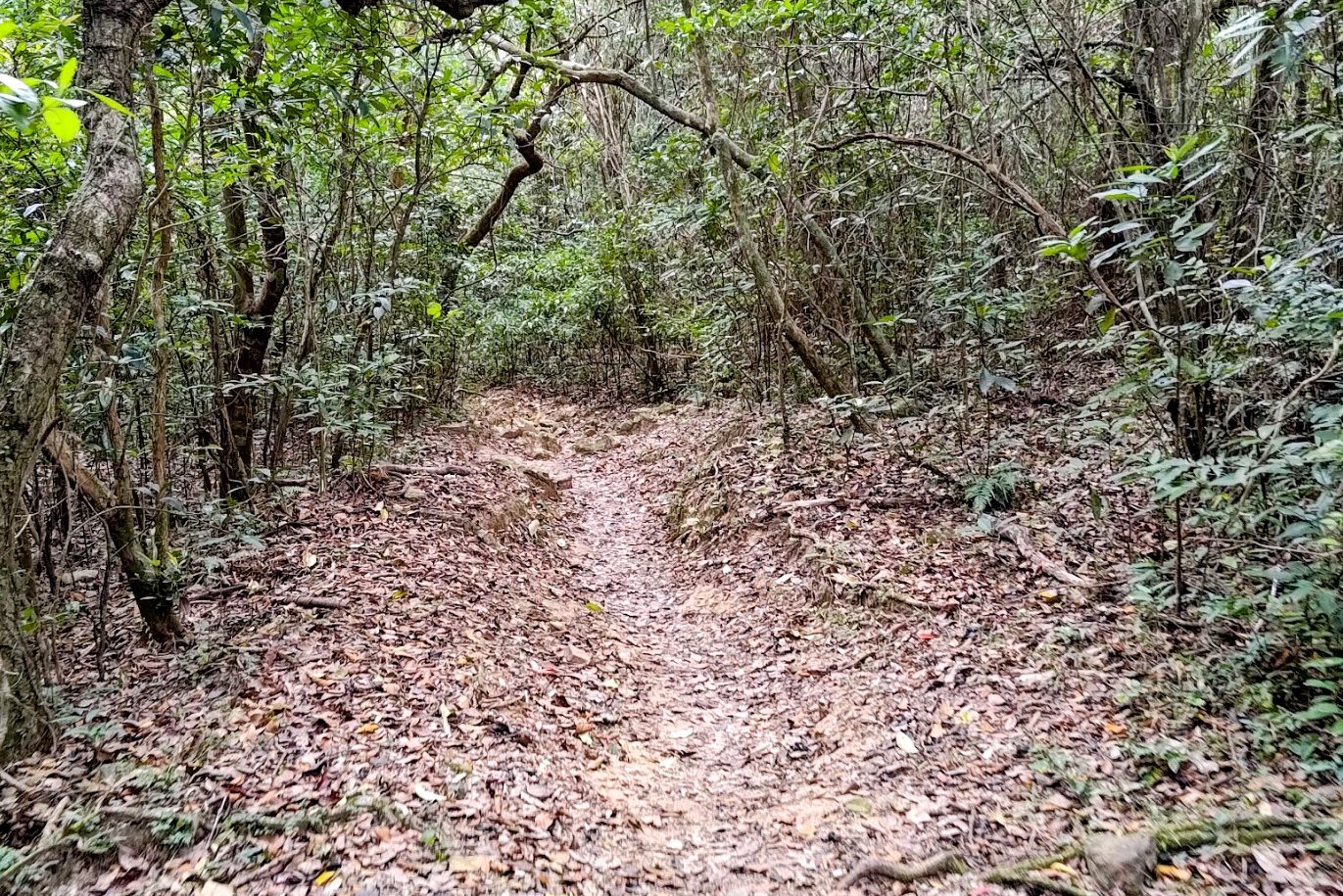
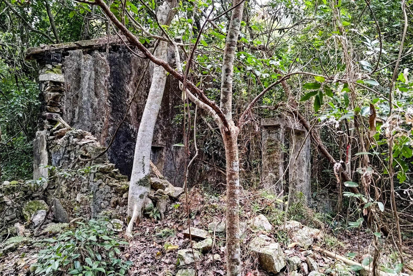
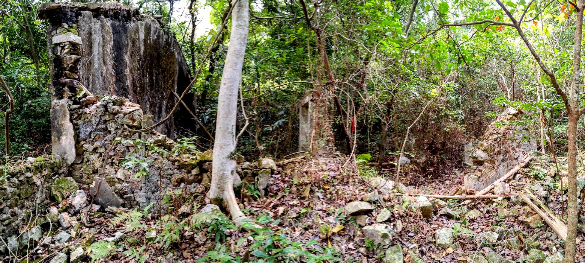
Once you're back on the main trail, take a right and follow the path forward. You'll go past an old abandoned Hakka village home before arriving at a fork in the trail.
Though you may be tempted to take the straight path, you need to go right up the stairs. Follow the trail until you find yourself at the Tiu Tang Lung fork (where you ascended up the mountain).
From here, retrace your steps back to Wu Kau Tang where you can get the bus.
Getting Back
You can take either of the following buses back to Tai Po Market MTR Station:
Just keep in mind that this bus only operates on Sundays or public holidays.
2. 20R Green Minibus
You will need to walk back toward Chi Sum Road to catch the 20R minibus, which arrives only once per hour every 15th minute of the hour (8:15, 9:15, etc). The minibus stop is here.

