
Tai To Yan Hike: How to Navigate Hong Kong's "Giant Razor's Edge"
Contents
- Essential Information
- Hike Highlights
- Google Route Map and GPX File
- How to Get There
- Quick Route Summary
- The Initial Shaded Climb
- The Exposed Climb to the Summit of Tai To Yan
- Tai To Yan Summit Views
- Hiking to Pak (North) Tai To Yan
- Pak Tai To Yan Summit Views
- The Beautiful First Half of the Descent
- The Horrible Concrete Part of the Descent
- Getting Back
Essential Tai To Yan Hike Details
- District: New Territories
- Duration: 3.5 hours
- Distance: 9.5km
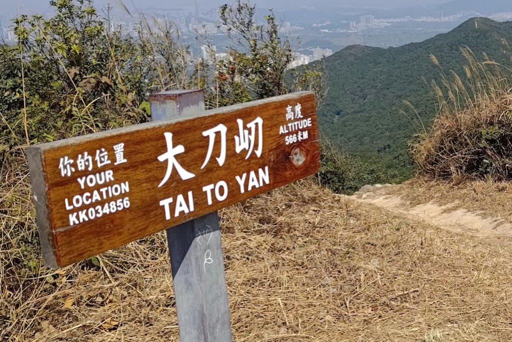
- Highest Elevation: 566 meters
- Difficulty: 3.5/5
- Facilities: None. Use the toilet and stock up on water beforehand
Why Hike Tai To Yan?
*Before embarking on this hike during the winter months, make sure to check if there is a risk of hill fires. Here is a chart from the Hong Kong Observatory that explains the city's fire warning system. You can click here to check if there's a fire warning alert today (look for a yellow or red fire symbol next to the weather).
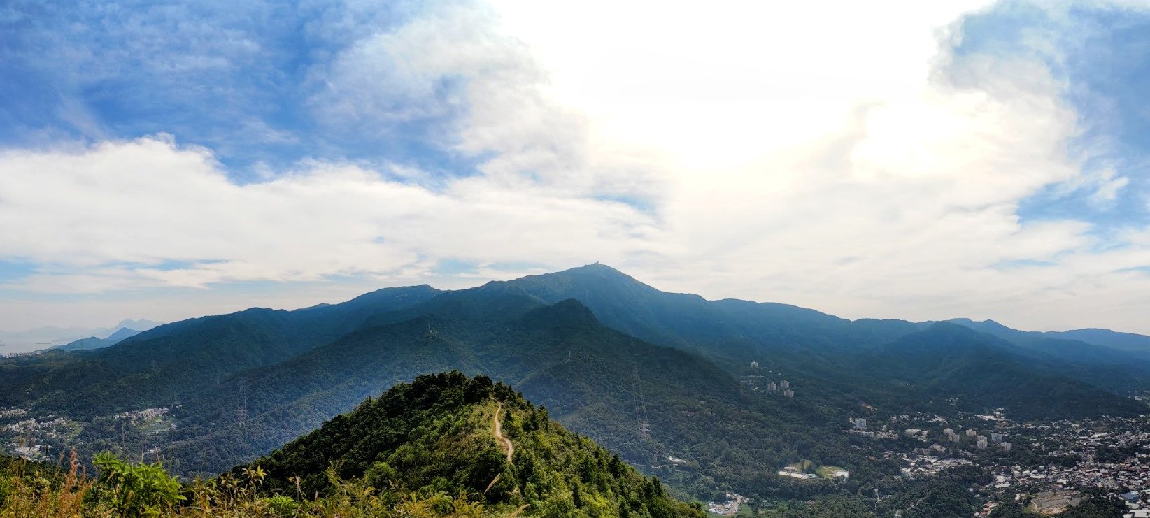
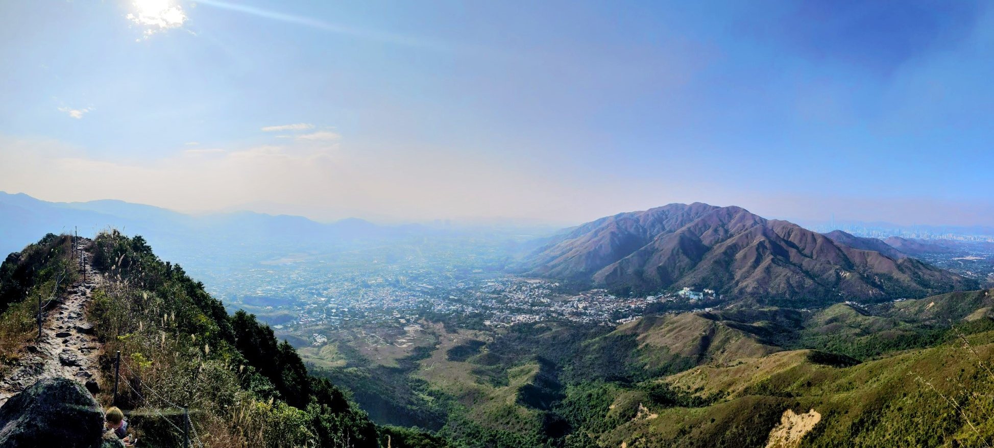
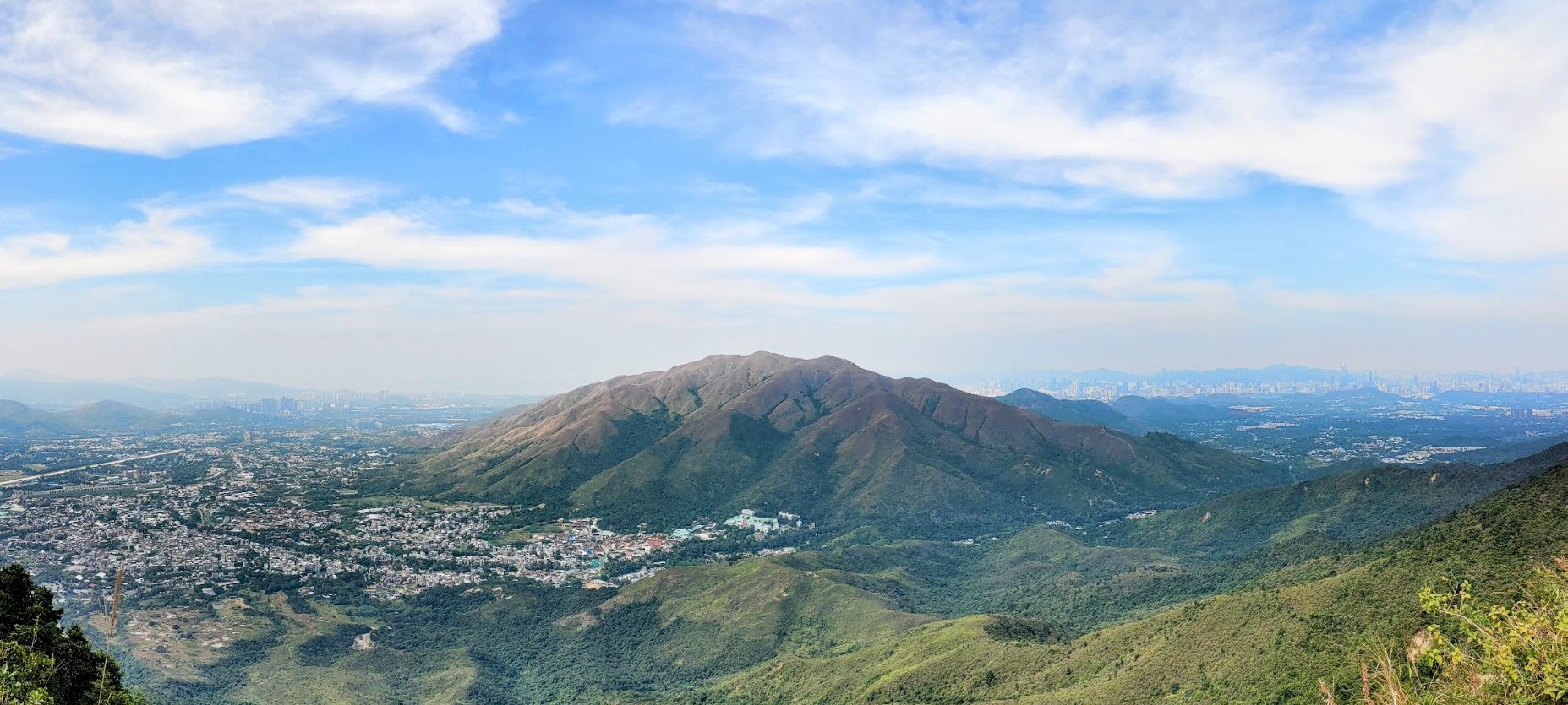
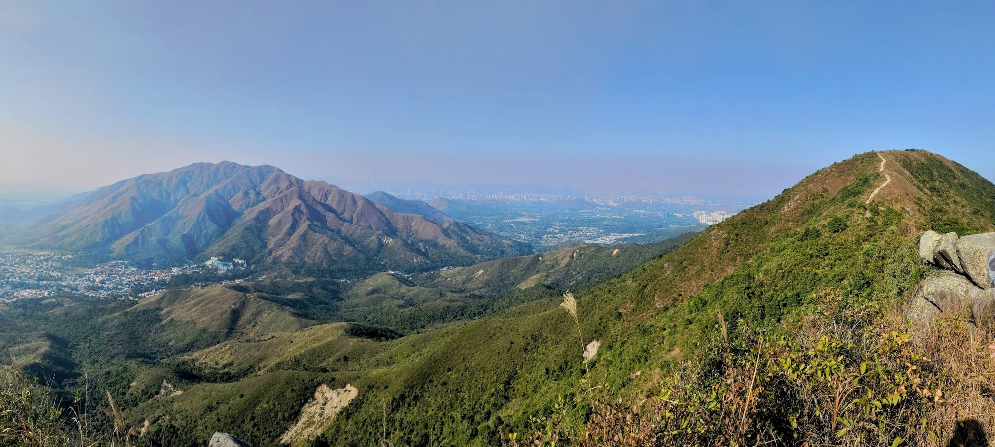
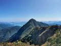
Tai To Yan is a spectacular ridge hike that's demanding but safe. Despite this, the views are some of the most unique in all of Hong Kong as you hike in the shadow of Tai Mo Shan, Hong Kong's tallest mountain, and get treated to uninterrupted vistas of Kai Kung Leng, an isolated mountain just opposite Tai To Yan.
The initial section is the toughest, with plenty of stairs to get your calves and glutes burning. But the effort is totally worth it once you break through the treeline and get rewarded with those brilliant views.
The trail is well maintained and even has railings in certain tricky spots to ensure the safety of hikers. This is in stark contrast to other ridge hikes in Hong Kong like Ma On Shan and West Dog's Teeth, which are much more demanding.
It is also possible to do this hike in reverse and start from Exit B of Fanling Station. Just follow the guide backwards, or check out the route map and follow it in reverse.
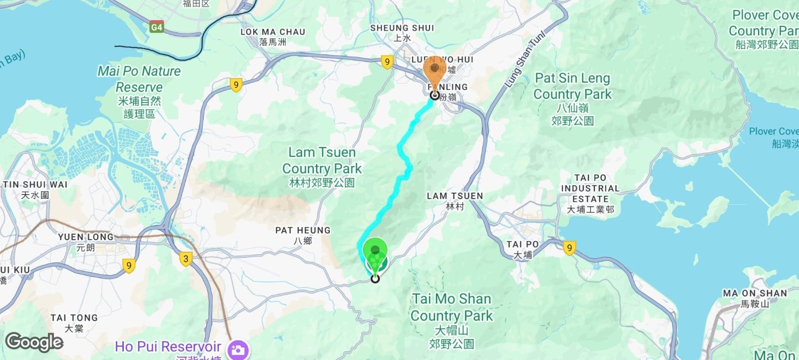
Google Route Map and GPX File
*Click the box icon in the top right of the map below to load the blue route directly into your own Google Maps. You can then see your location relative to the trail in real time!
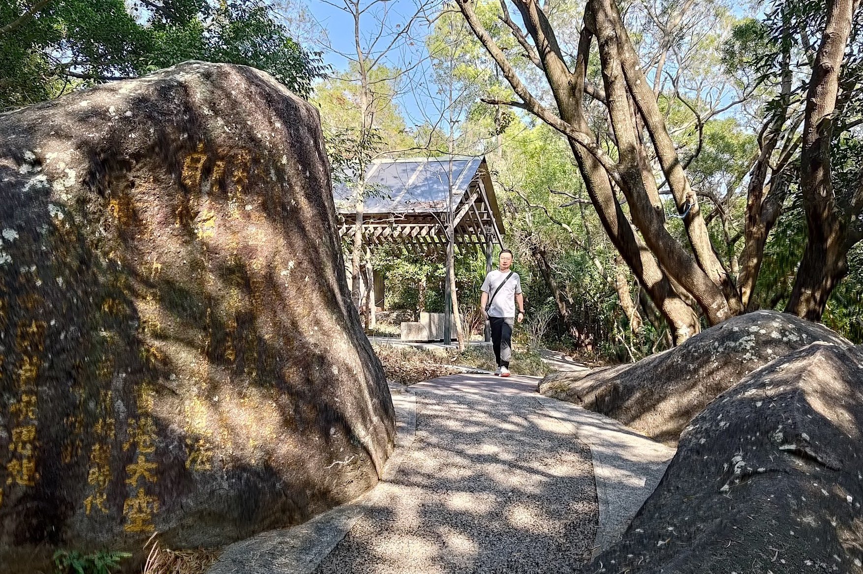
How to Get to the Tai To Yan Hike Start Point

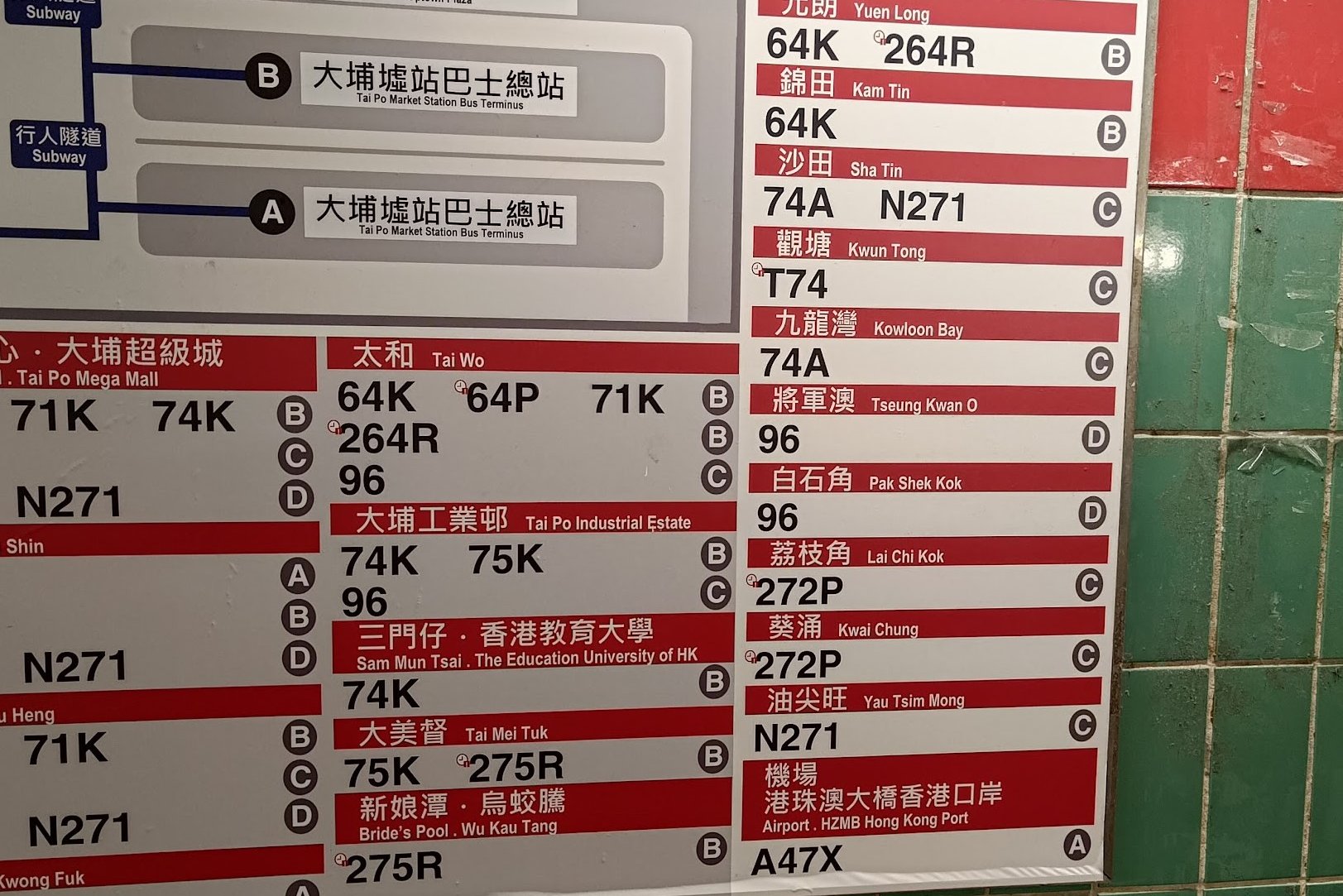
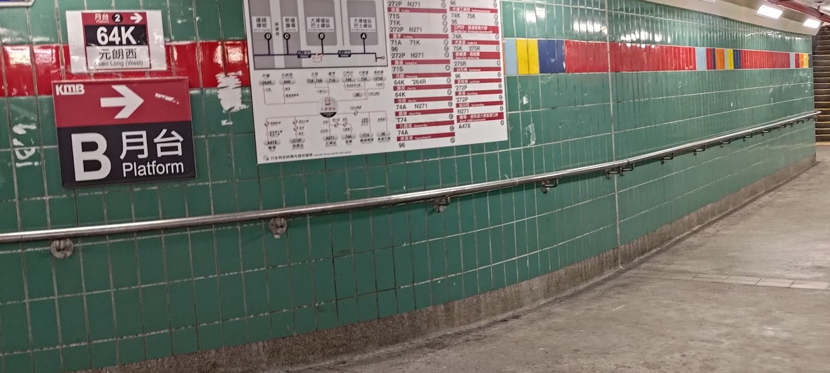
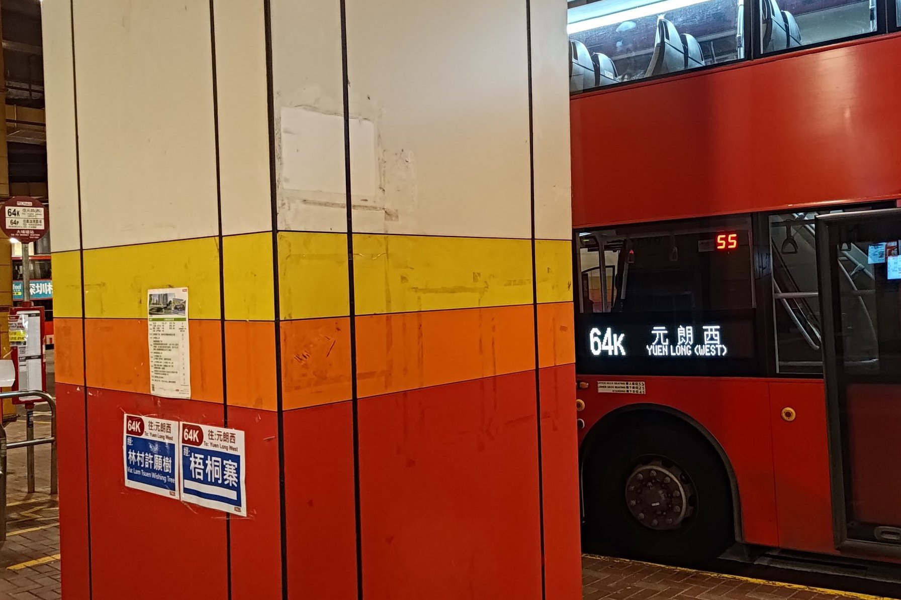
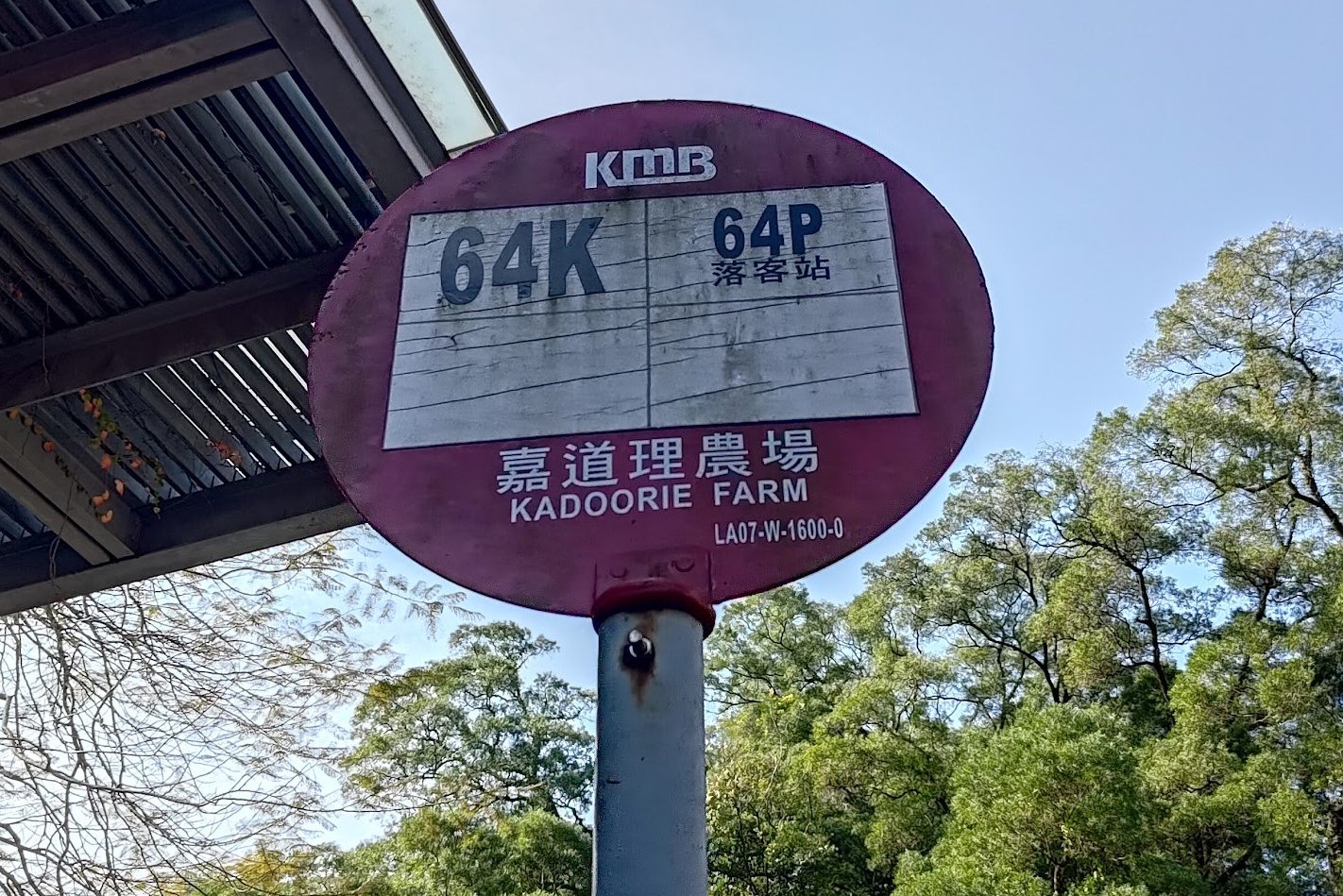
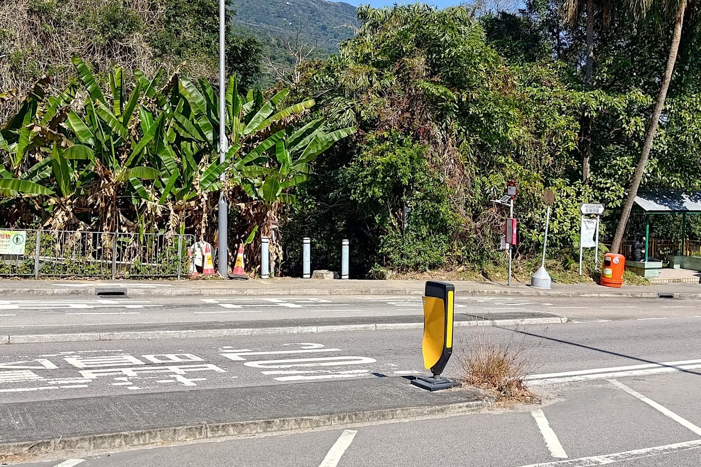
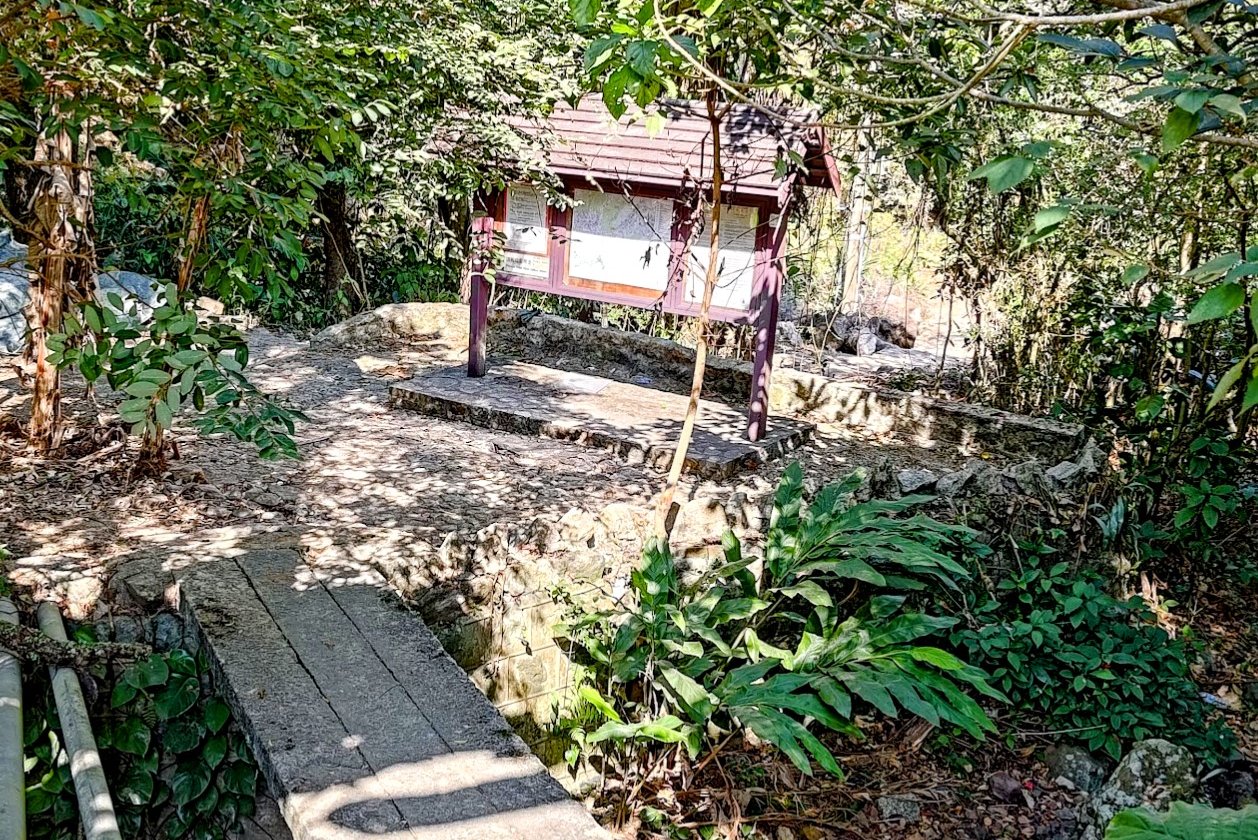
Take the MTR to Tai Po Market Station or Yuen Long Station and take the 64K bus (same bus for both stations) to the Kadoorie Farm and Botanic Garden stop. The start point of the hike is behind three grey barrier posts on the opposite side of the road if you came from Tai Po. There will be a brown shelter with maps just beyond to indicate you're in the right place.
I went from Tai Po, so my pictures show the route I took to the bus and start point.

Quick Tai To Yan Hike Summary
- Take the MTR to Tai Po Market MTR Station or Yuen Long MTR Station and take the 64K bus to the Kadoorie Farm and Botanic Garden stop.
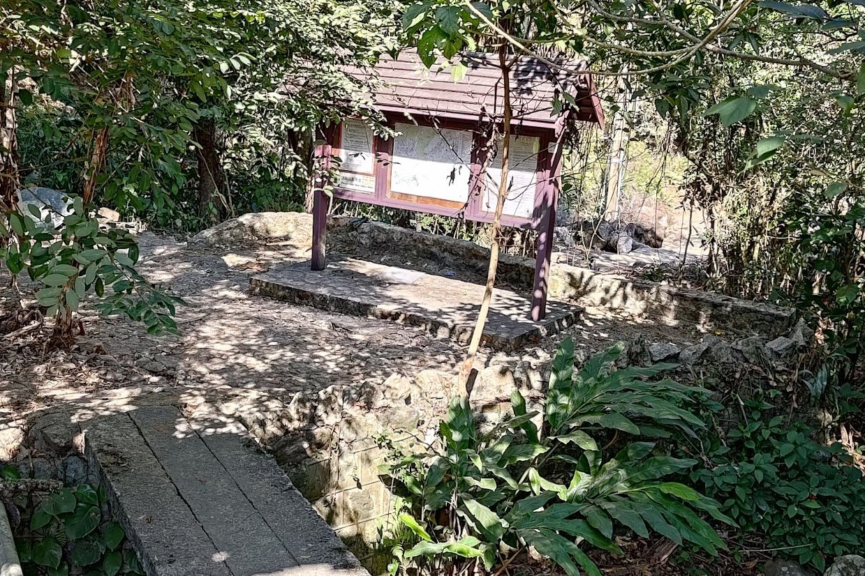
- Look for the 3 grey barrier posts (opposite of the road if you came from Tai Po) and go through them until you arrive at a brown signboard with maps
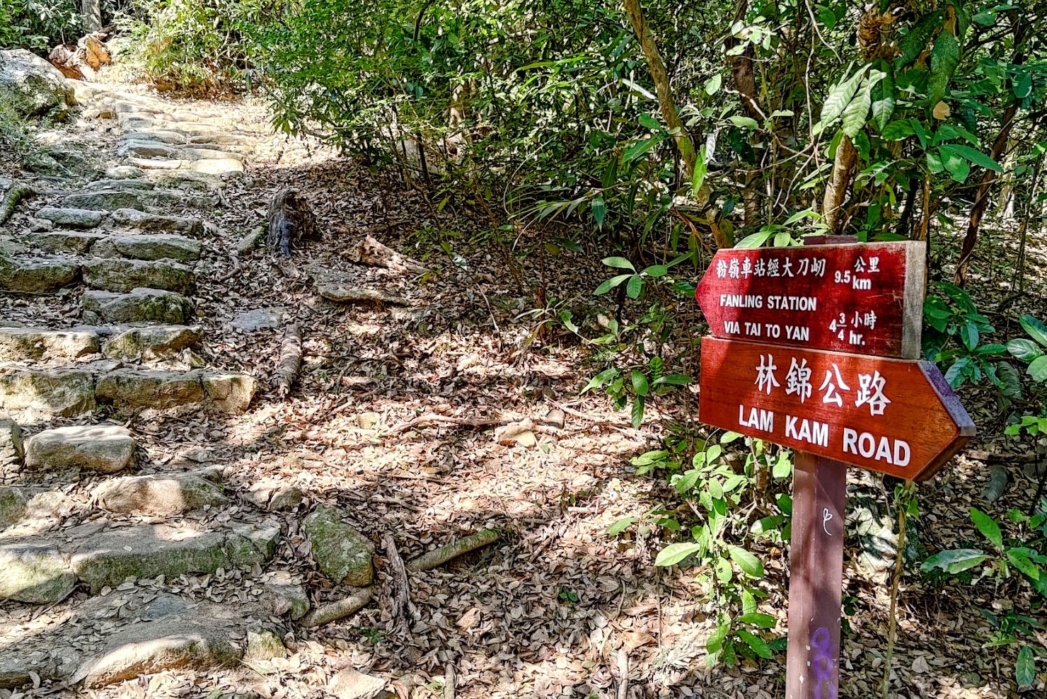
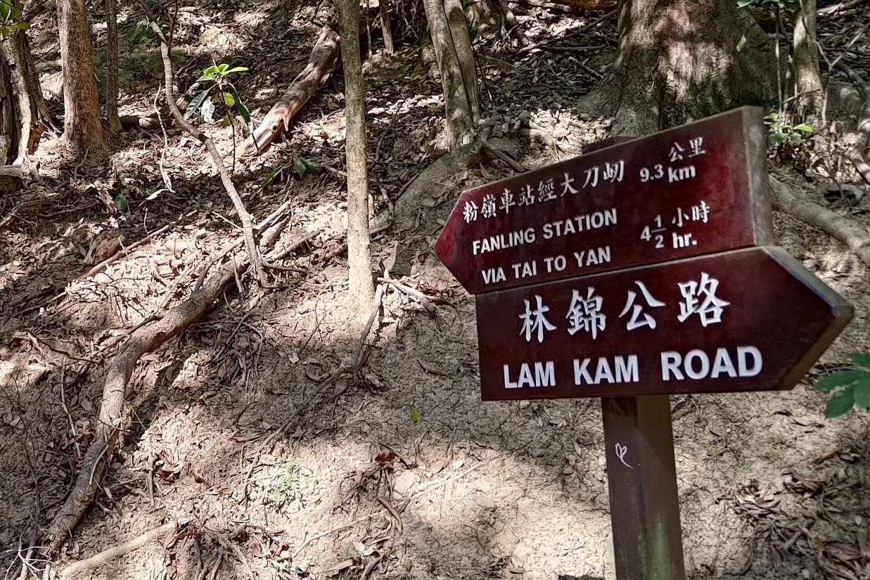
- Follow the trail beyond the map signboard and don't miss the brown sign pointing to "Fanling Station Via Tai To Yan"
- Follow the stairs up before going around a building with a fence and barbed wire
- Another sign will point you towards "Fanling Station Via Tai To Yan"
- This is one of the toughest climbing sections with a lot of stairs. You will soon see the Tai To Yan ridge in front of you as the trail opens up
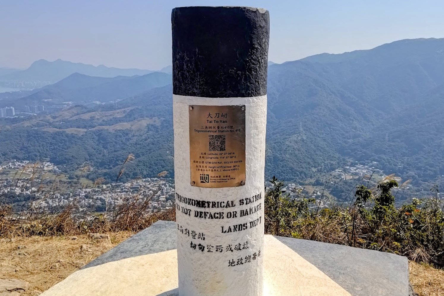
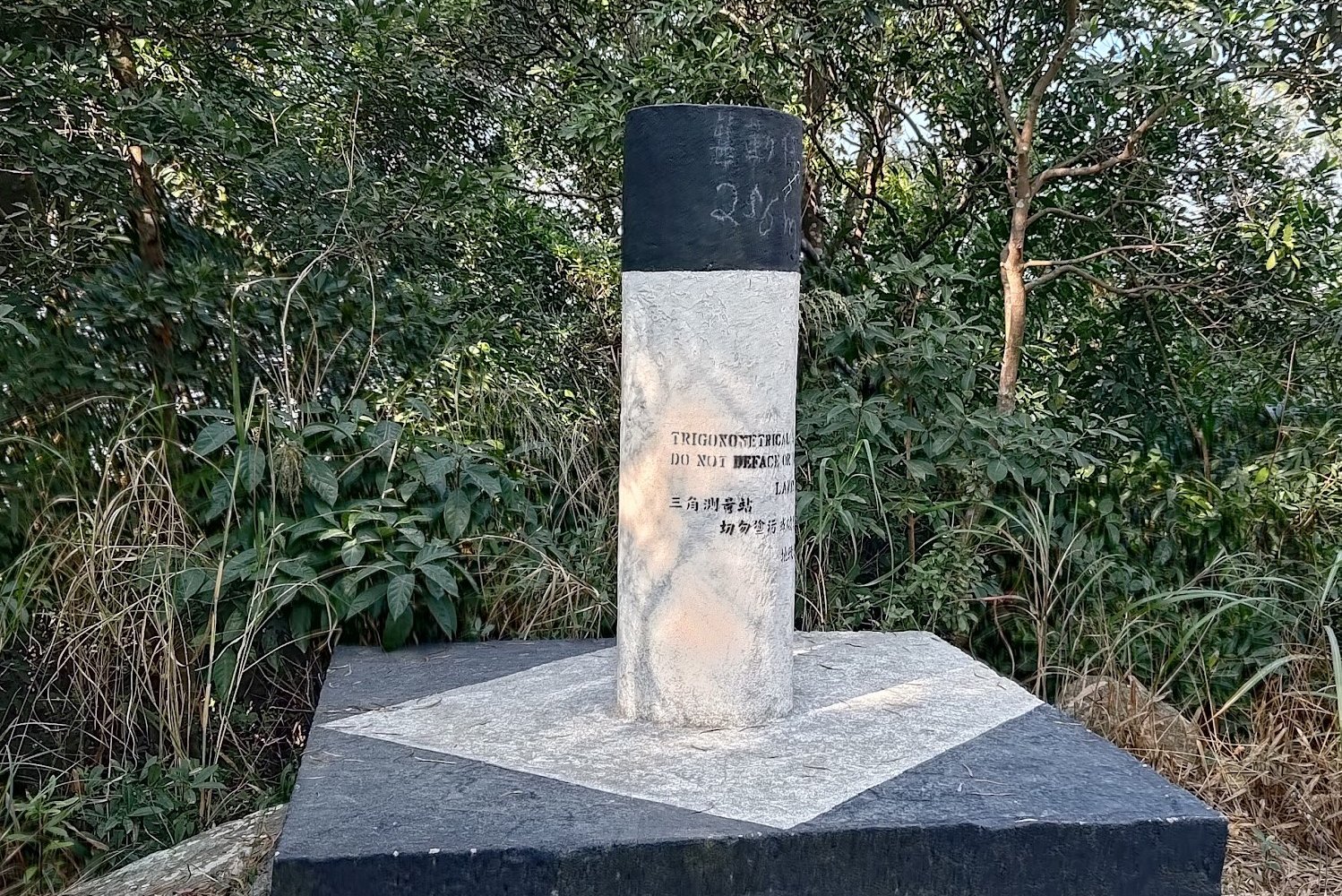
- Follow the trail as it undulates and you will eventually reach the Tai To Yan trigonometrical station (black and white pole)
- You will then head downward before climbing back up to reach another trigonometrical station for Pak (North) Tai To Yan
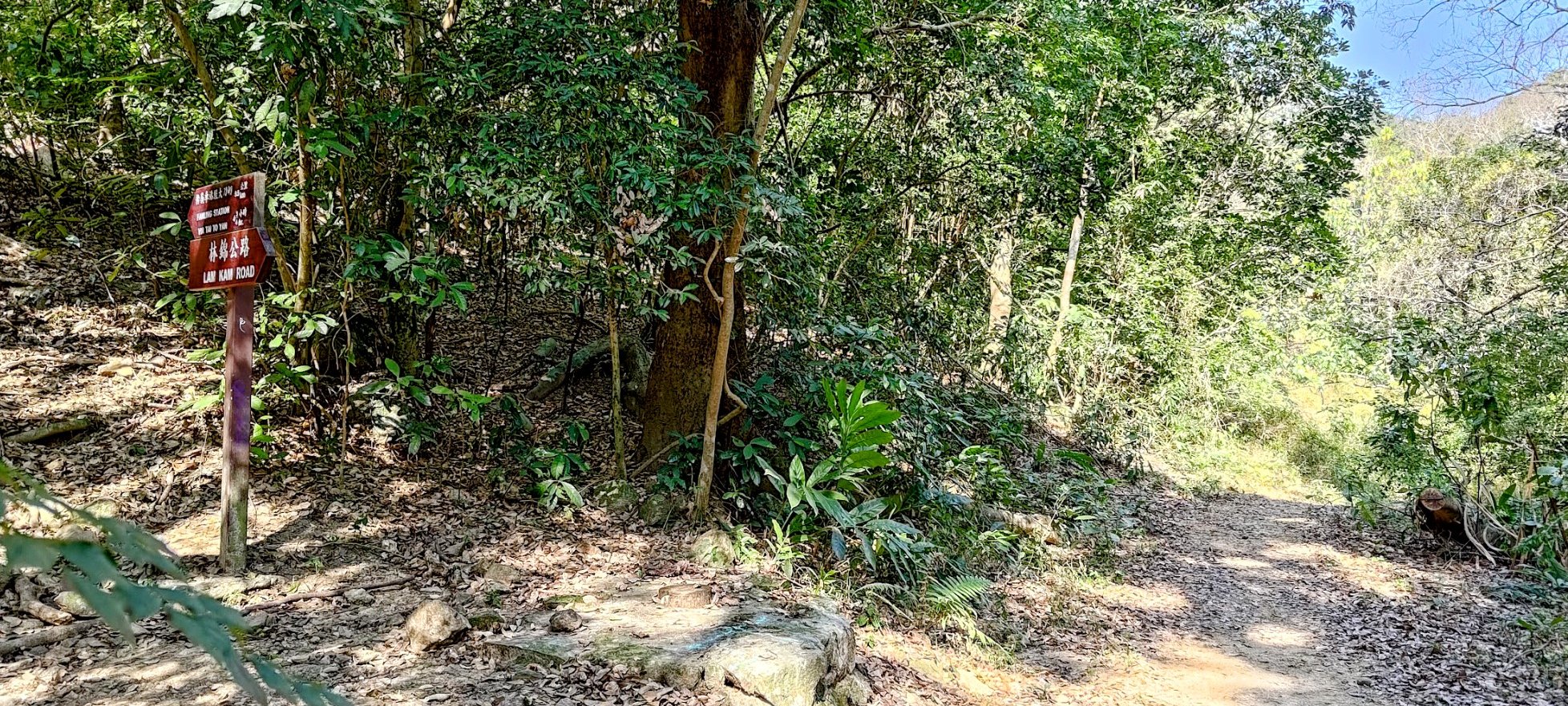
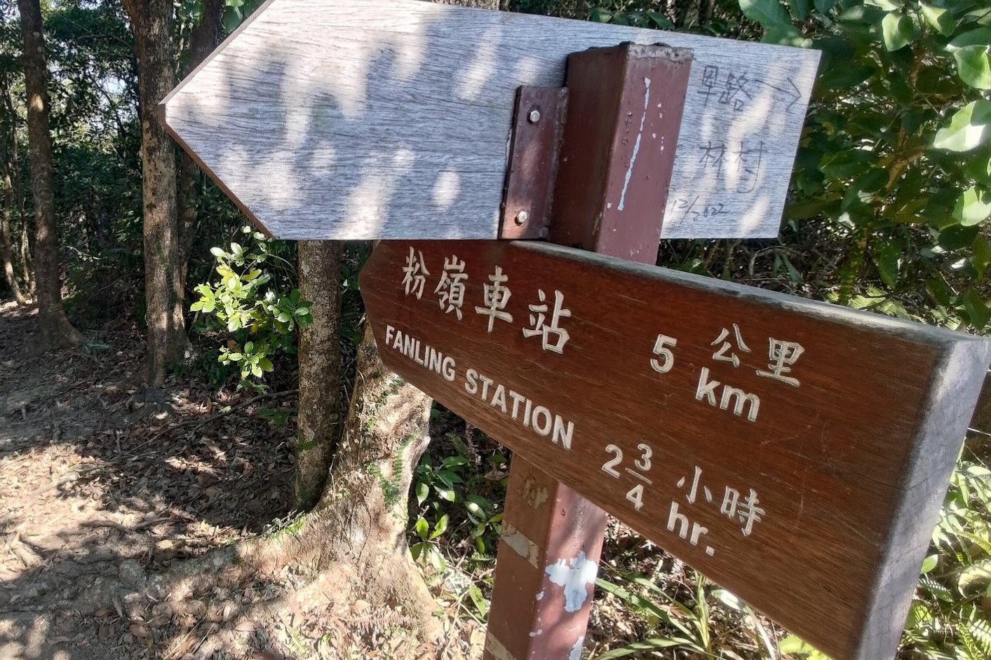
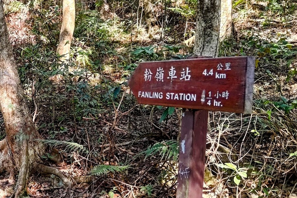
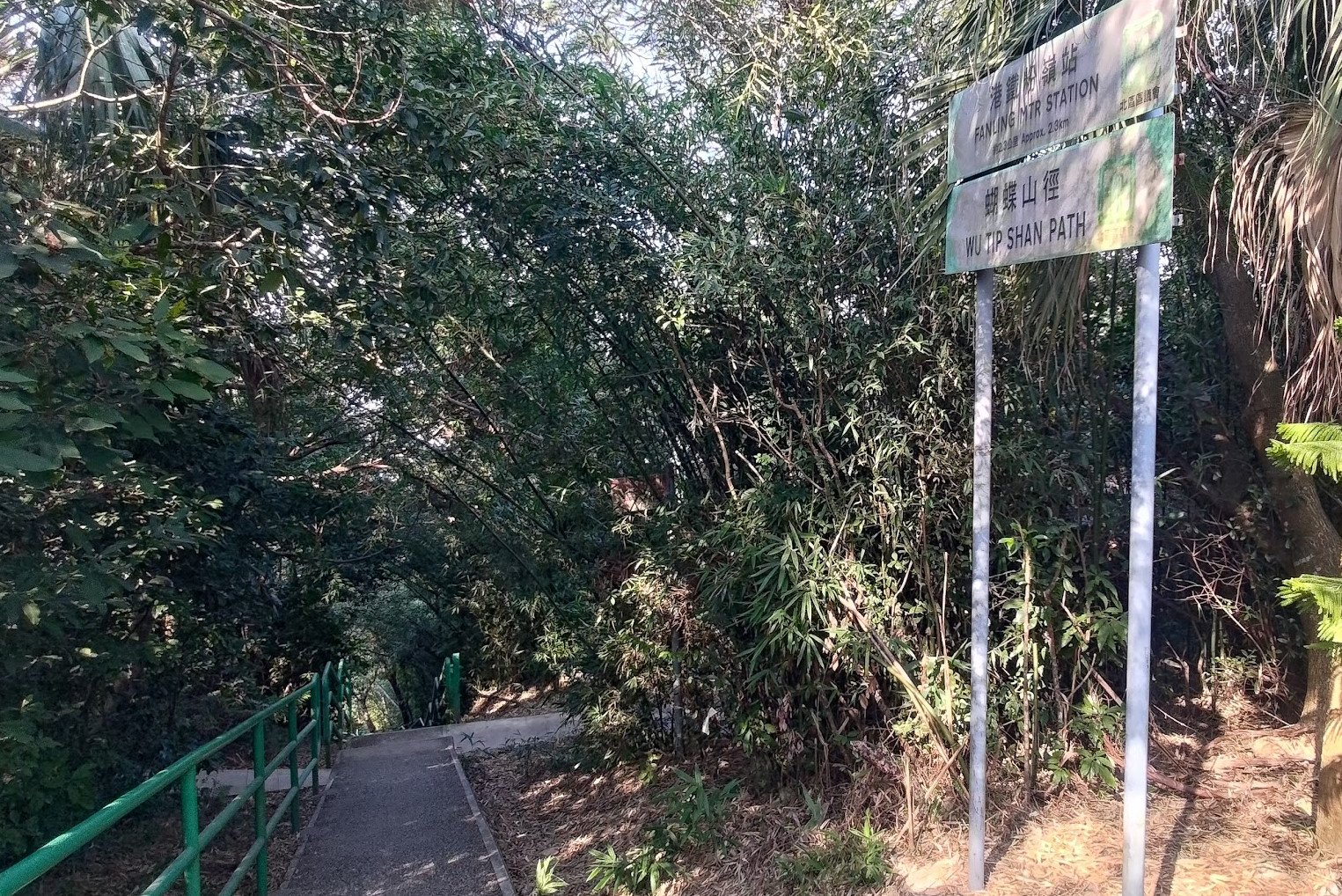
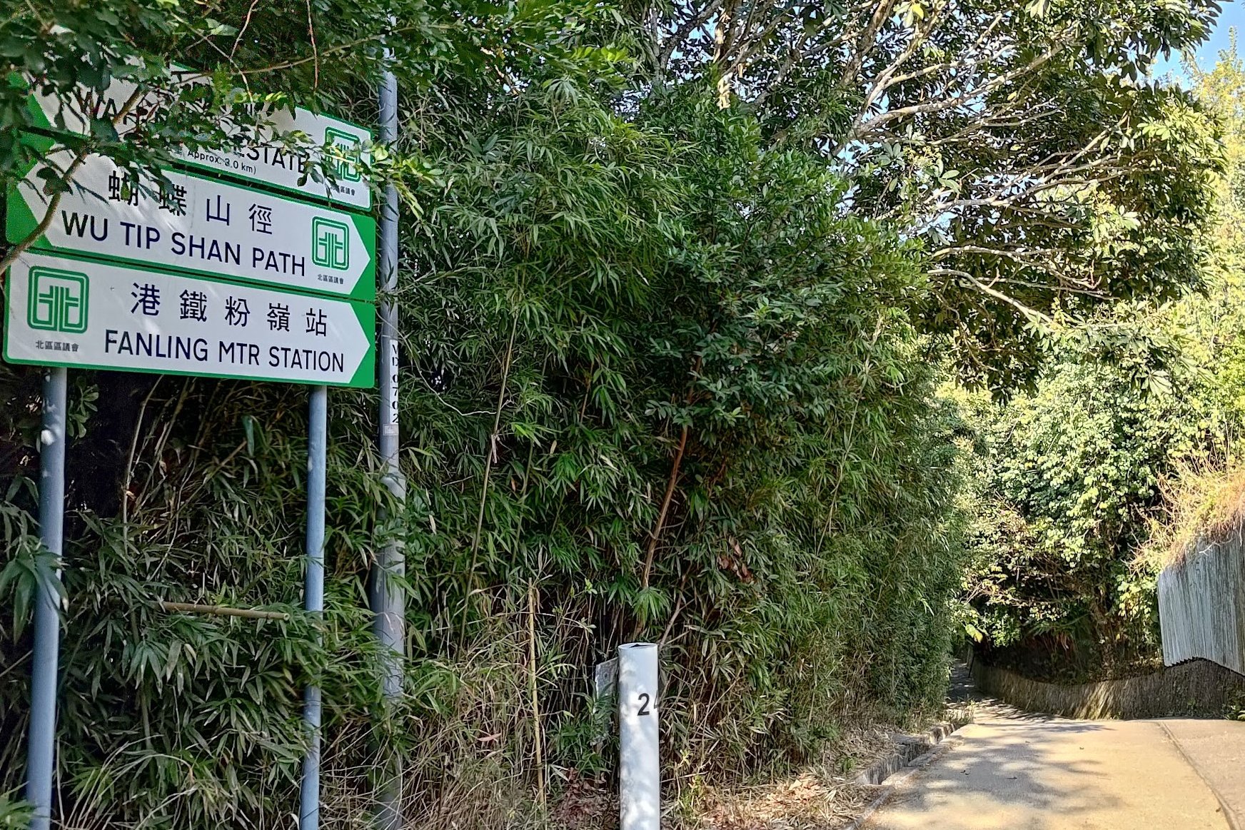
- From there, you will descend again. Keep your eyes peeled for a sign pointing you towards "Fanling Station"
- From hereon out, keep following the signs pointing you to Fanling Station. It'll take about an hour from here to reach the MTR
- The trail will eventually turn into a concrete path and lead you the MTR
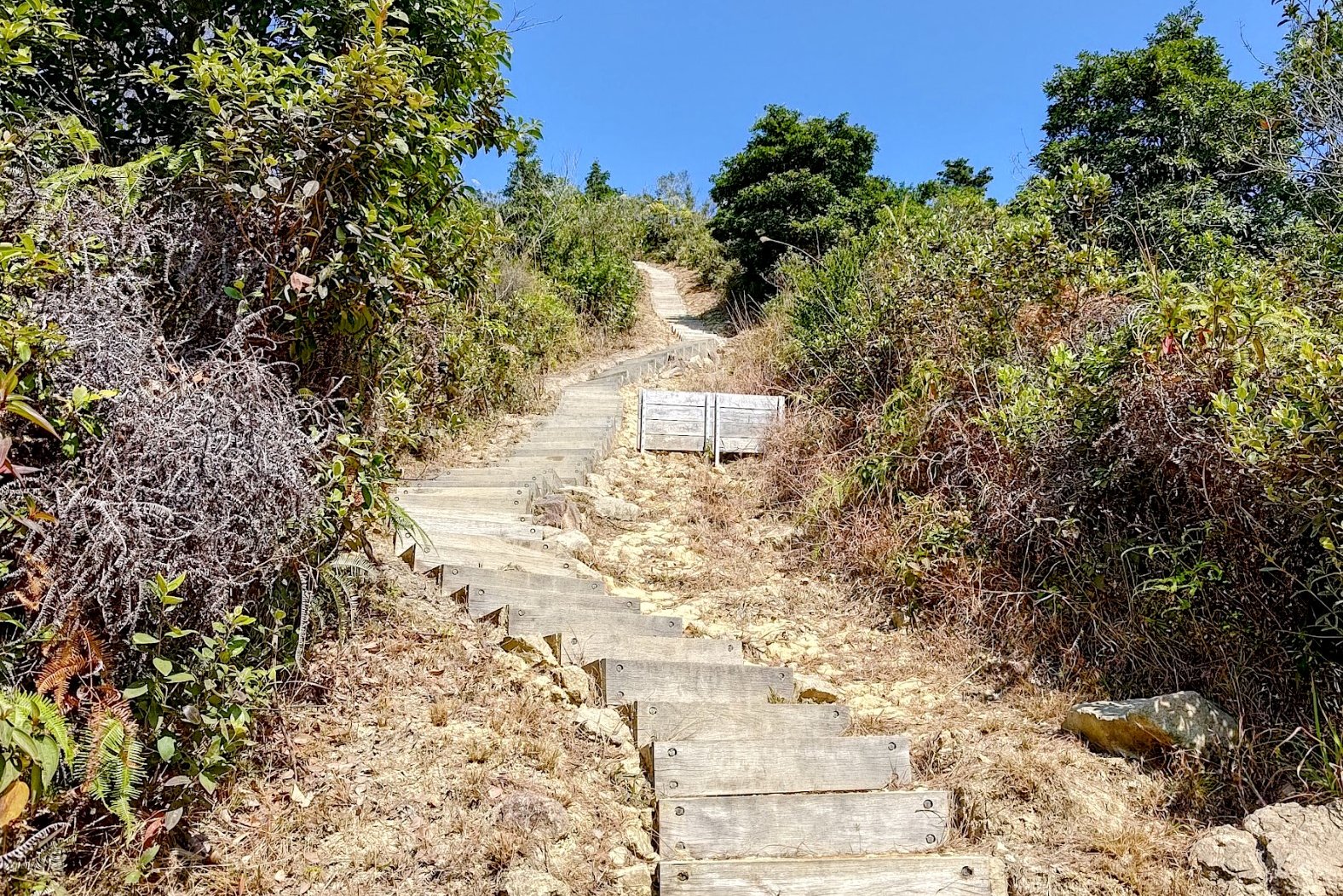
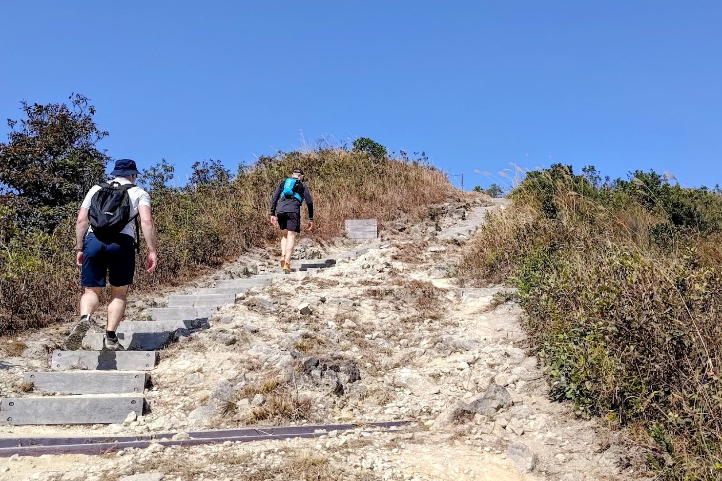
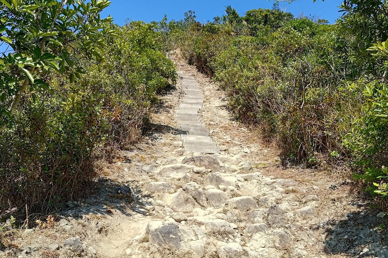
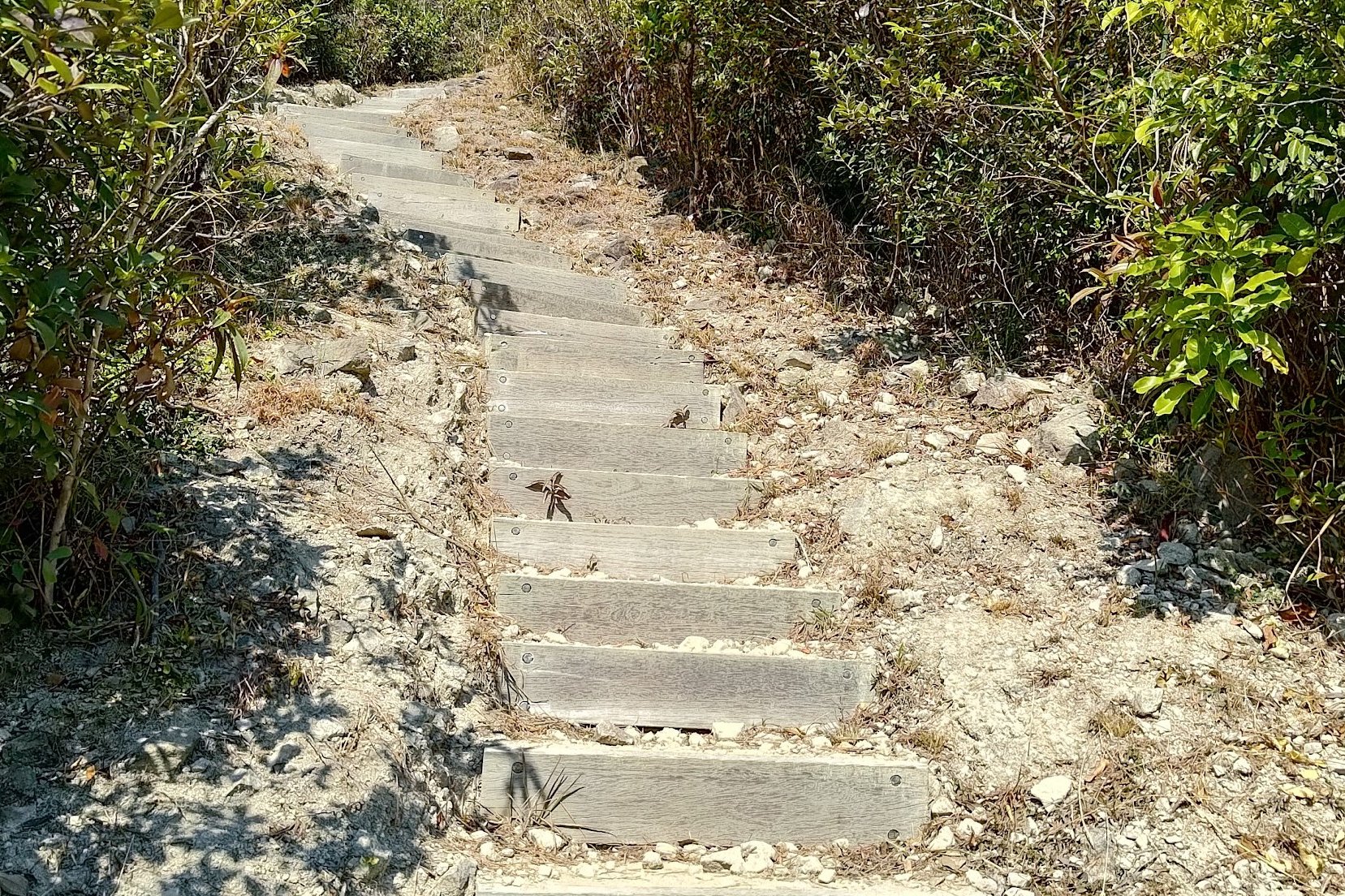
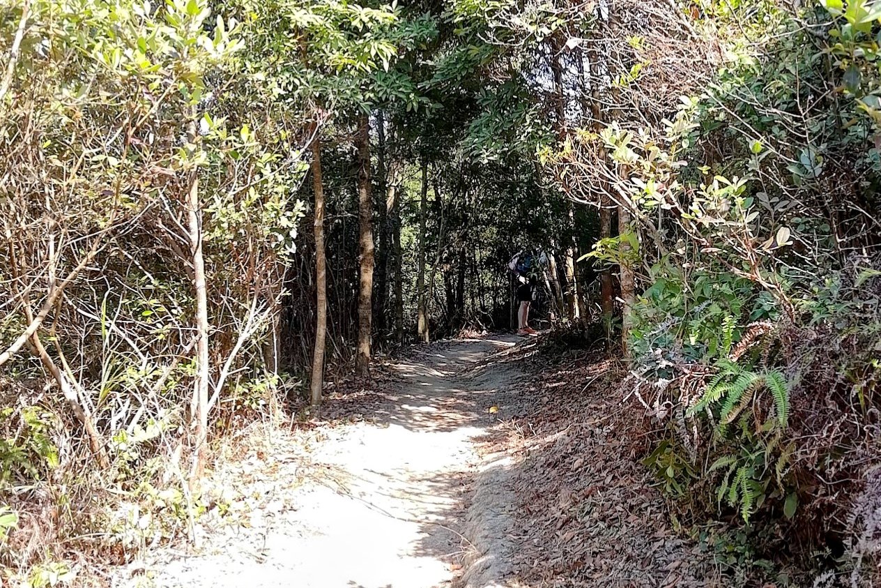
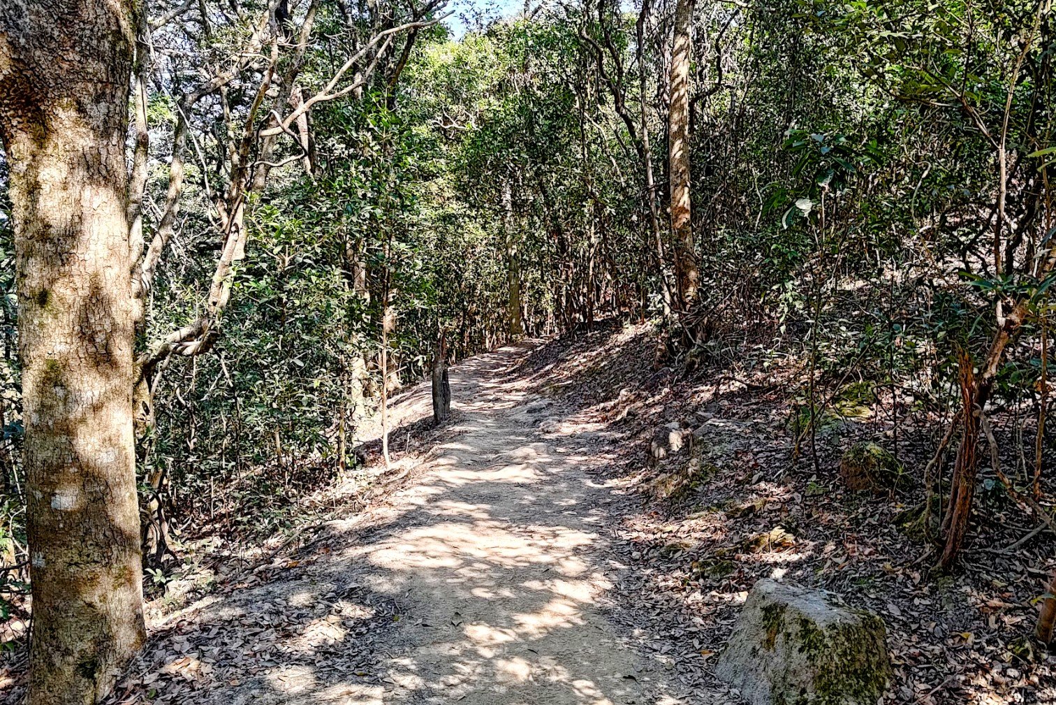
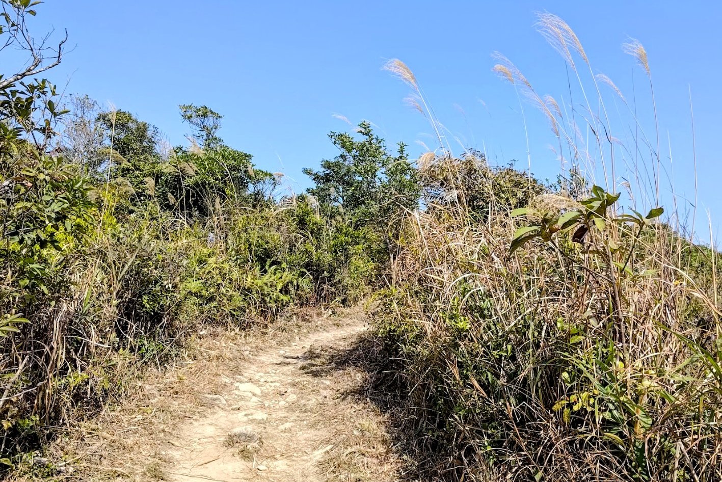
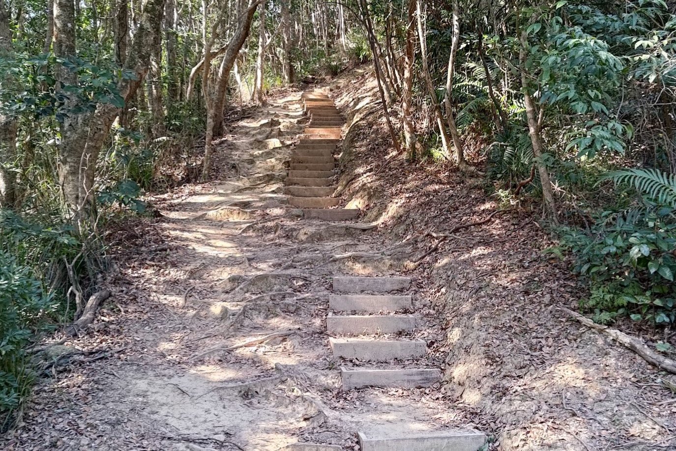
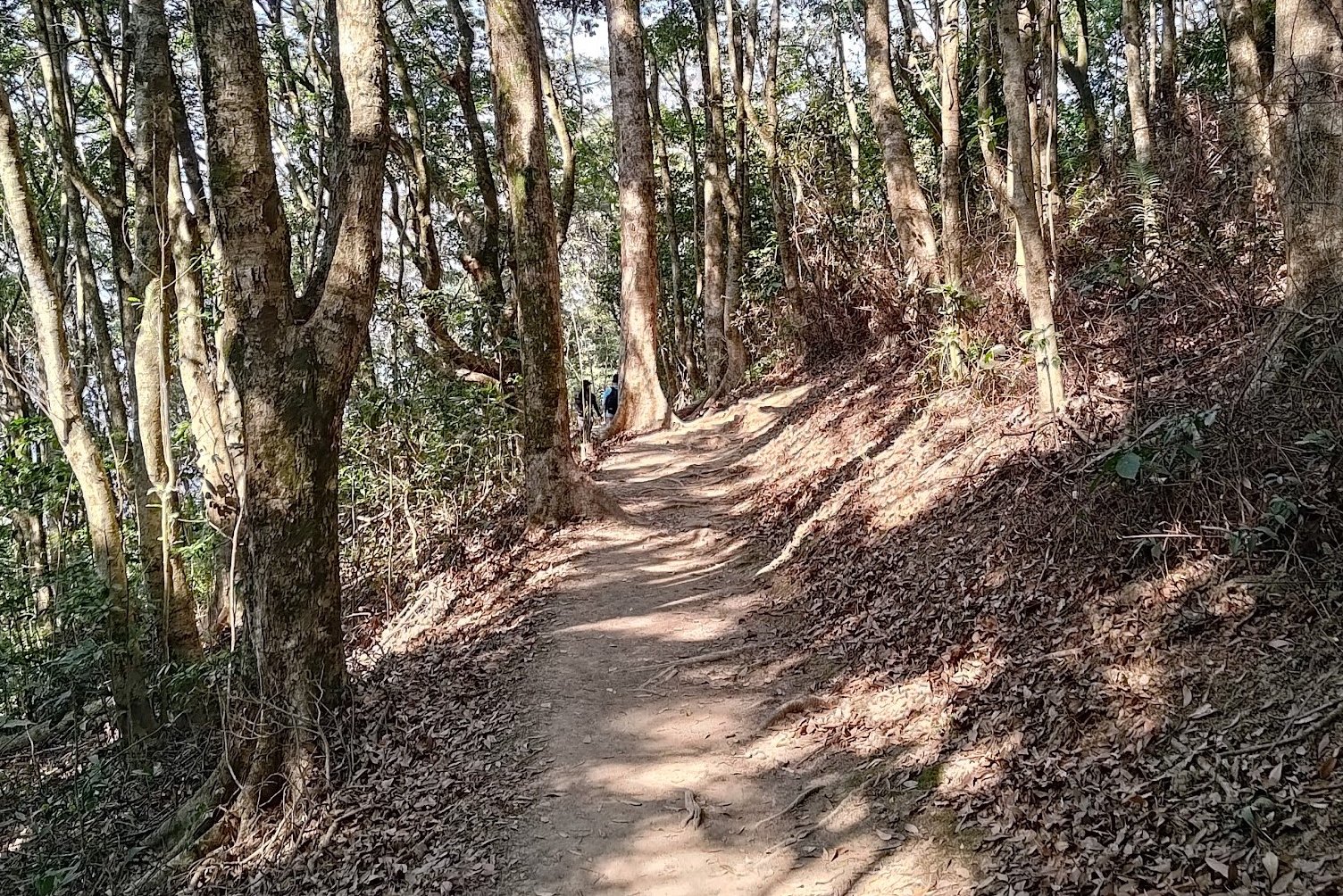
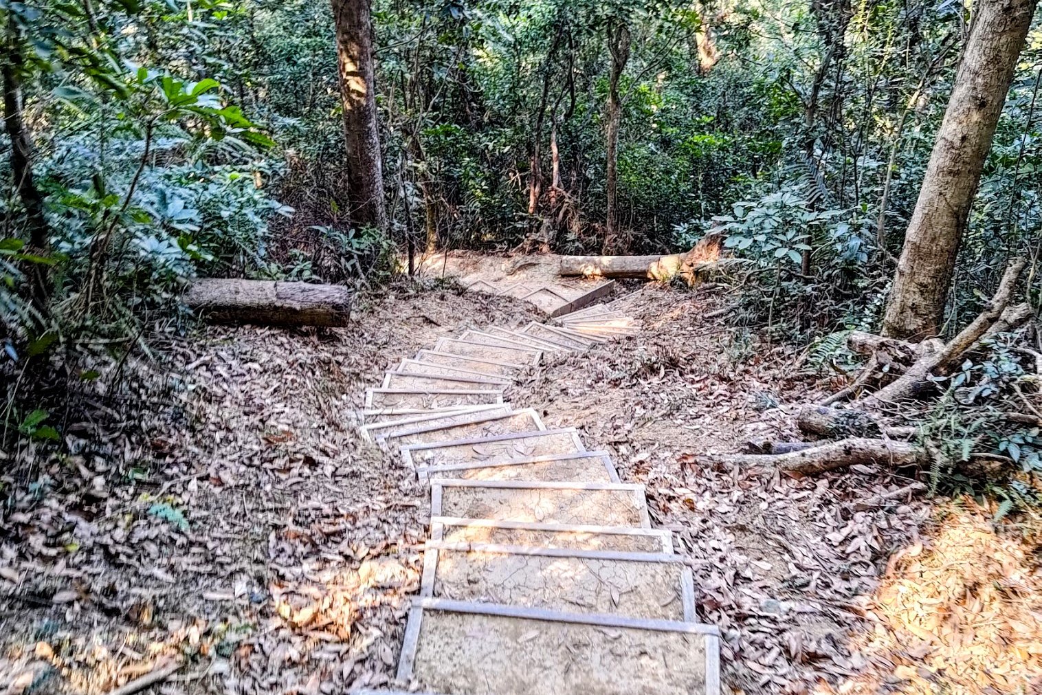
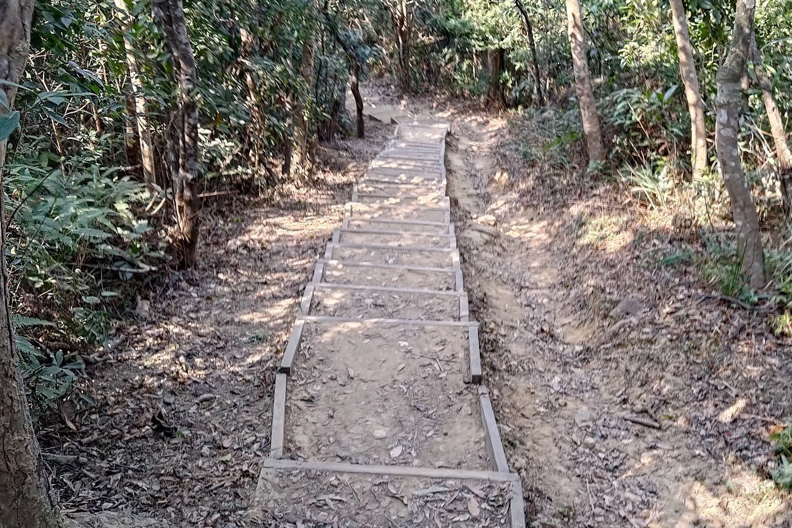
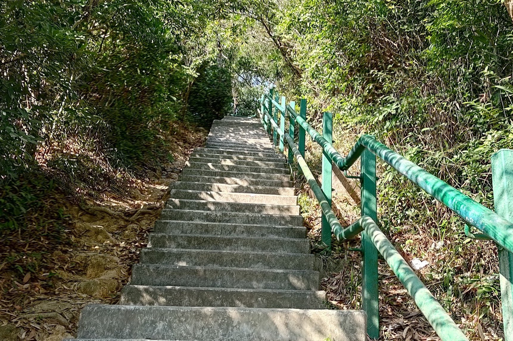
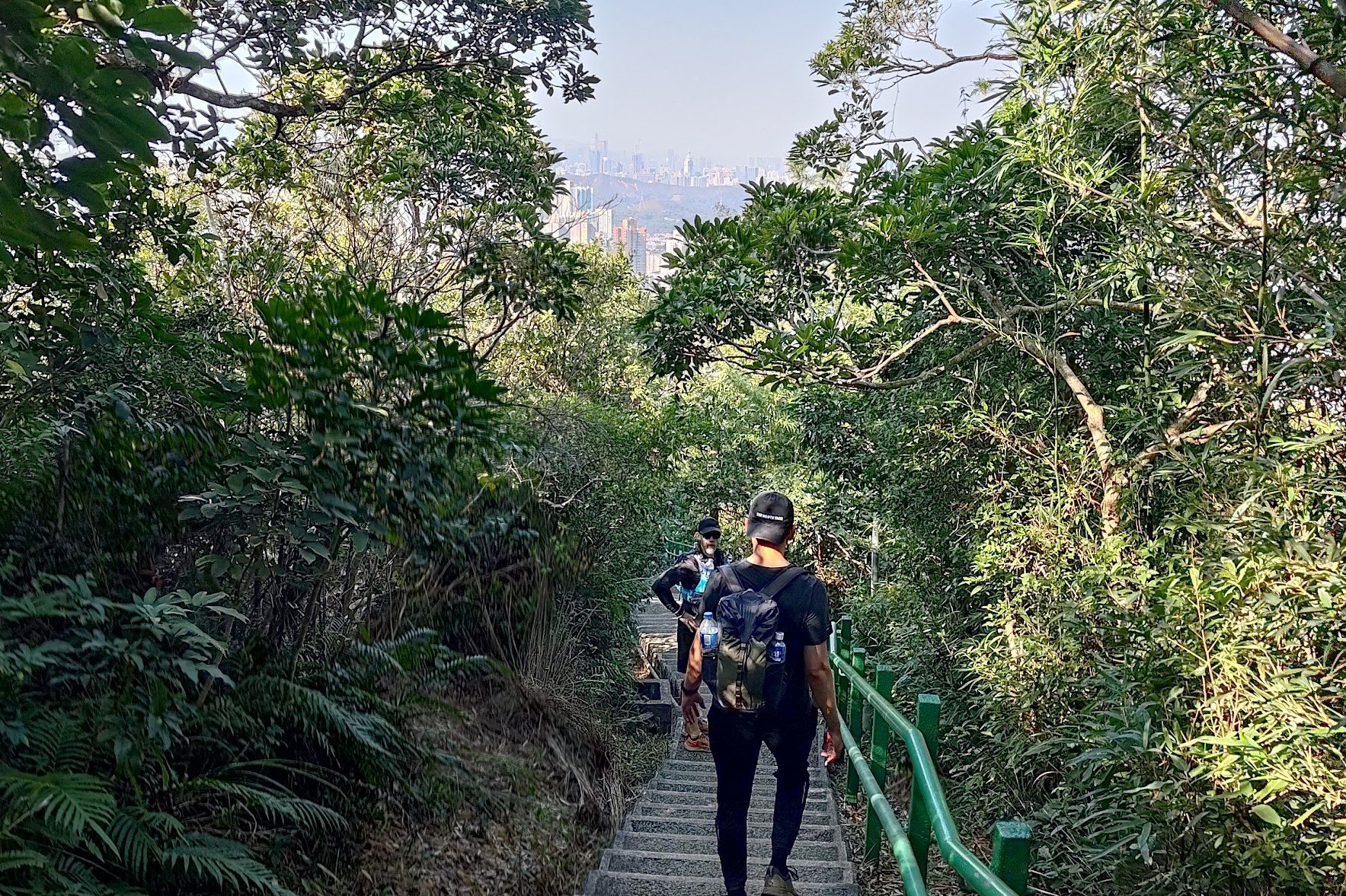
The Initial Shaded Climb
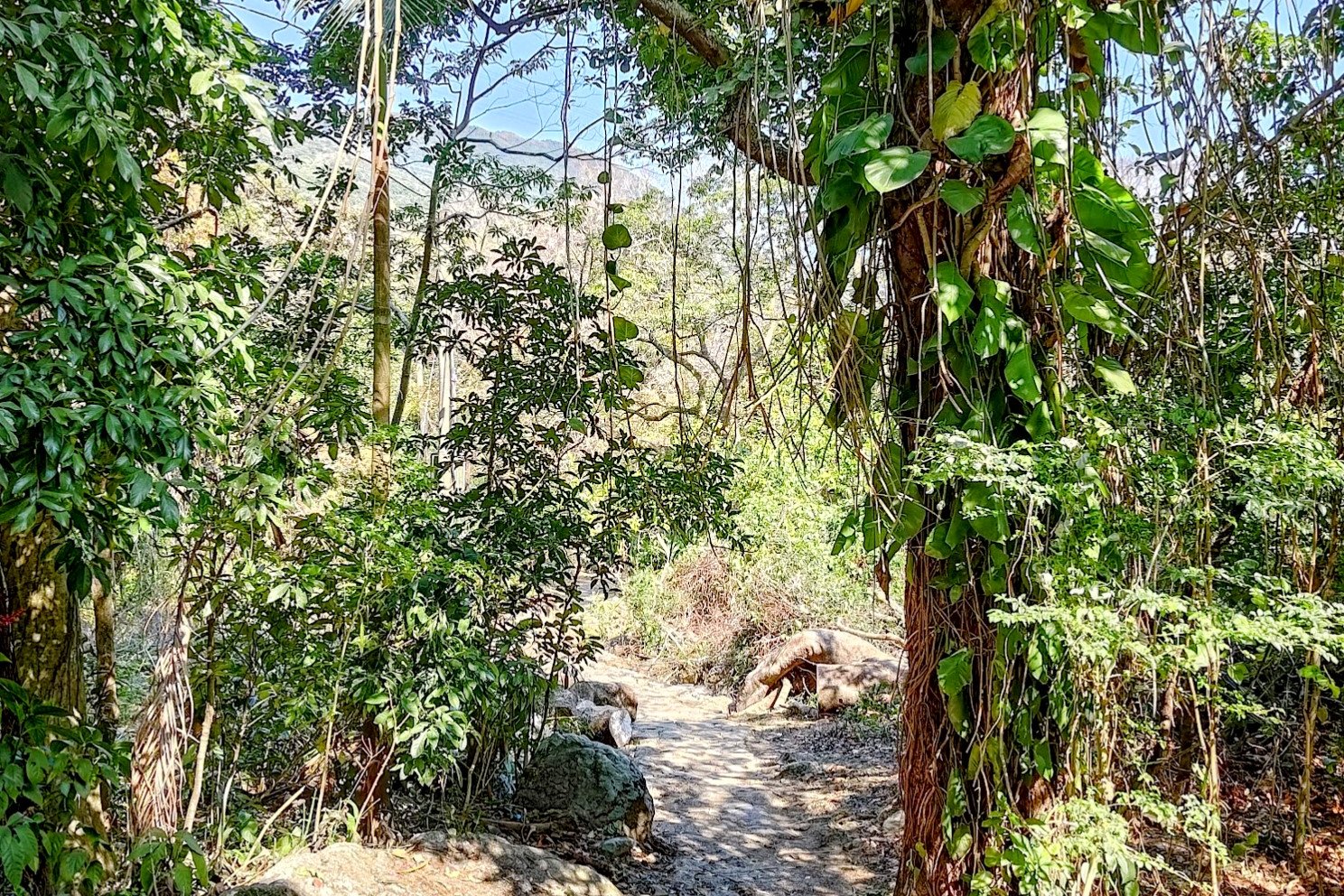
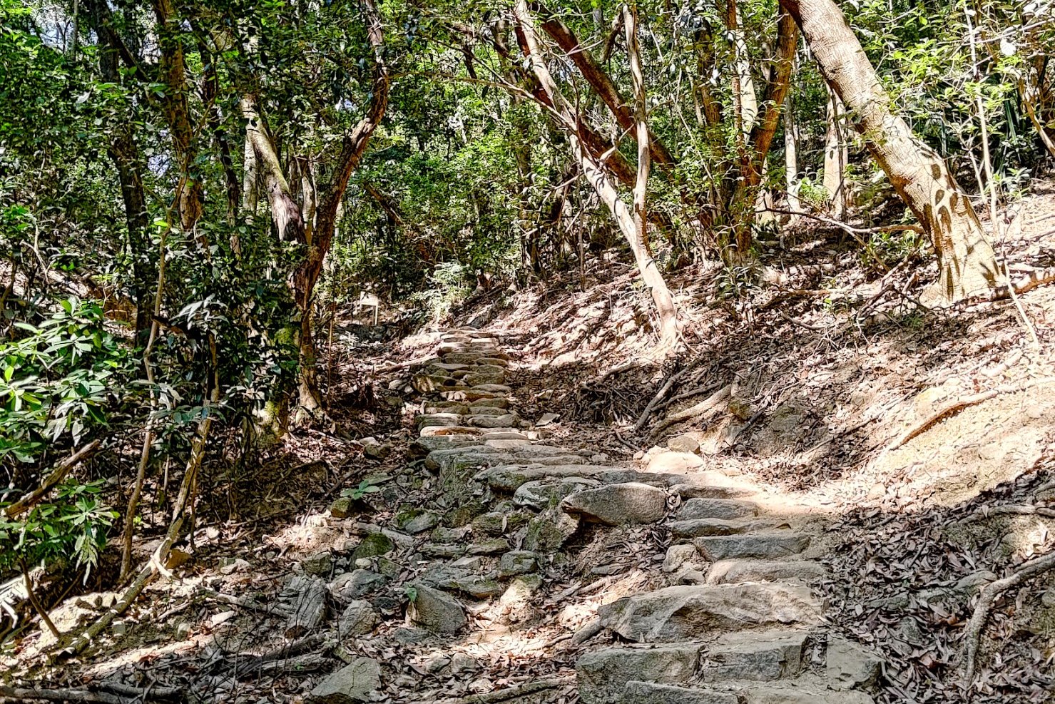
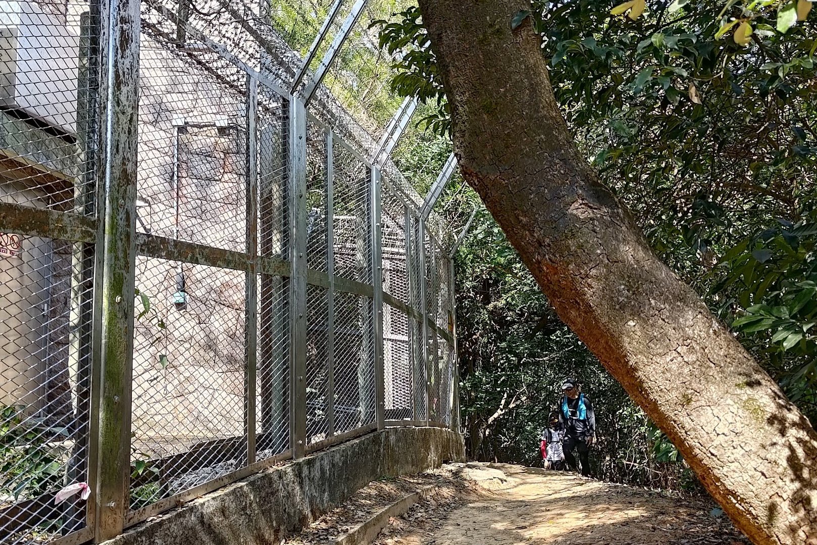
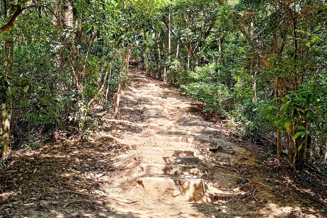
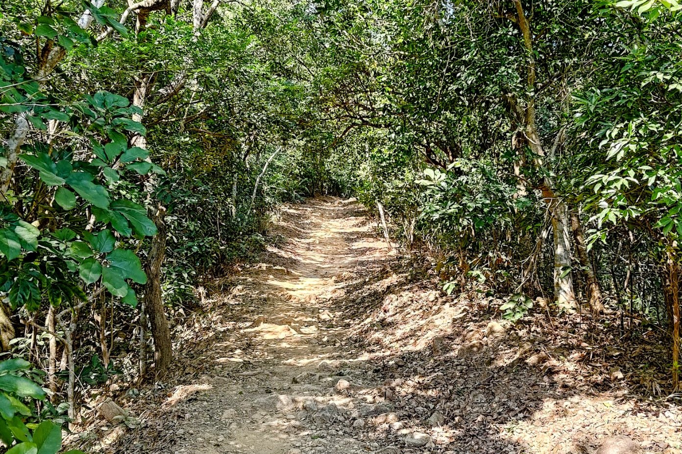
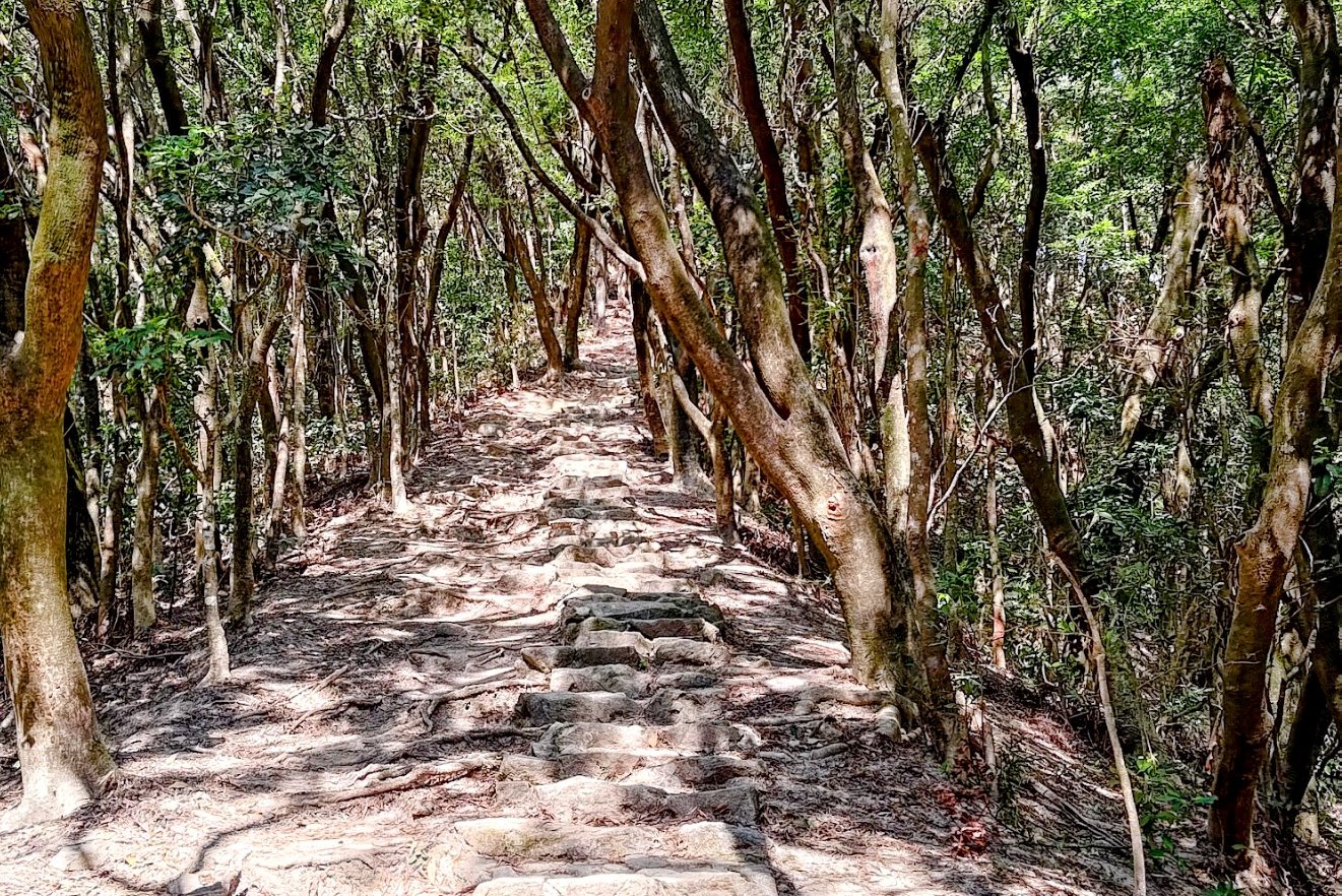
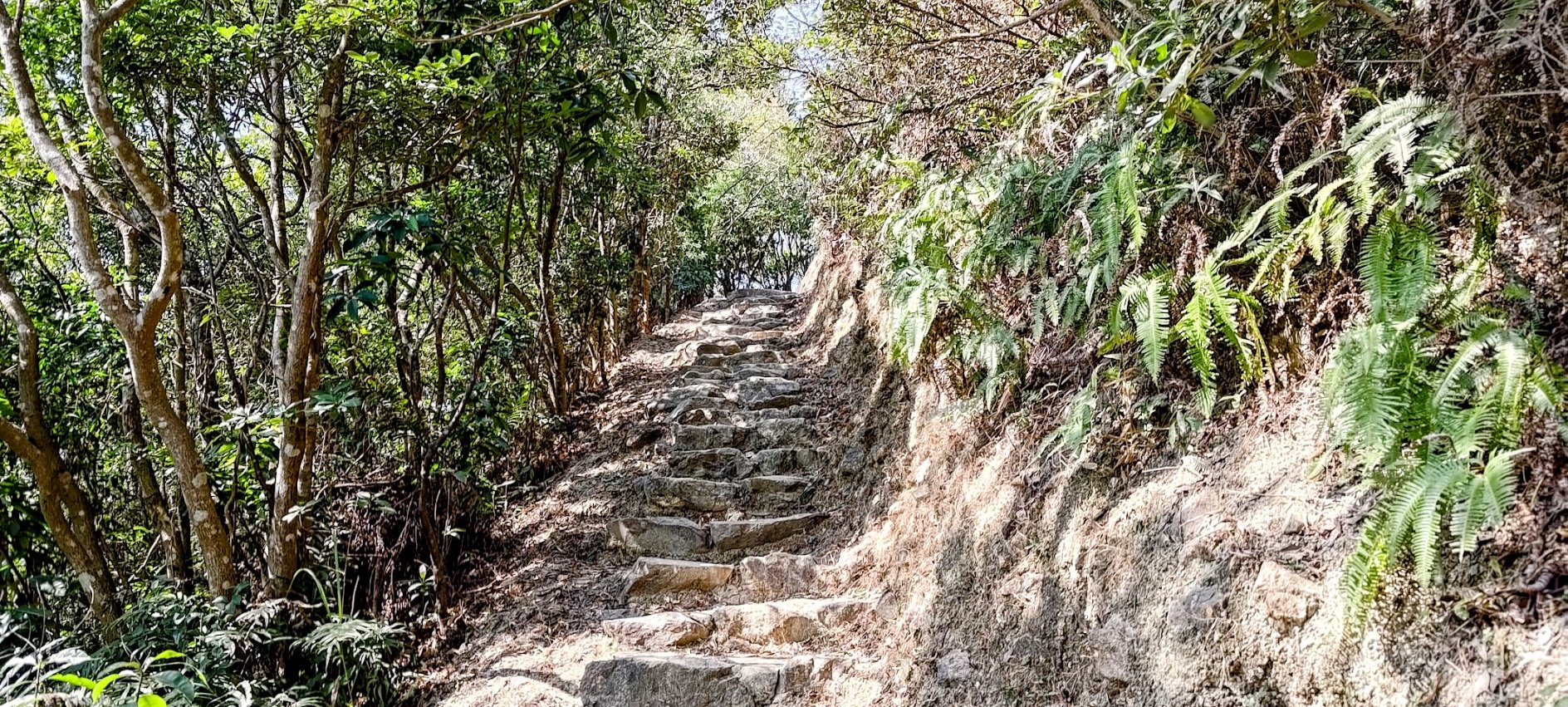
This portion of the hike took just under 30 minutes to complete. Make sure you don't miss the left turn after the signboard at the start of the hike that leads you up to Tai To Yan.
From there, it's basically stairs all the way surrounded by tall trees. It's quite a tranquil and enjoyable portion of the hike, despite the high intensity of the climb.
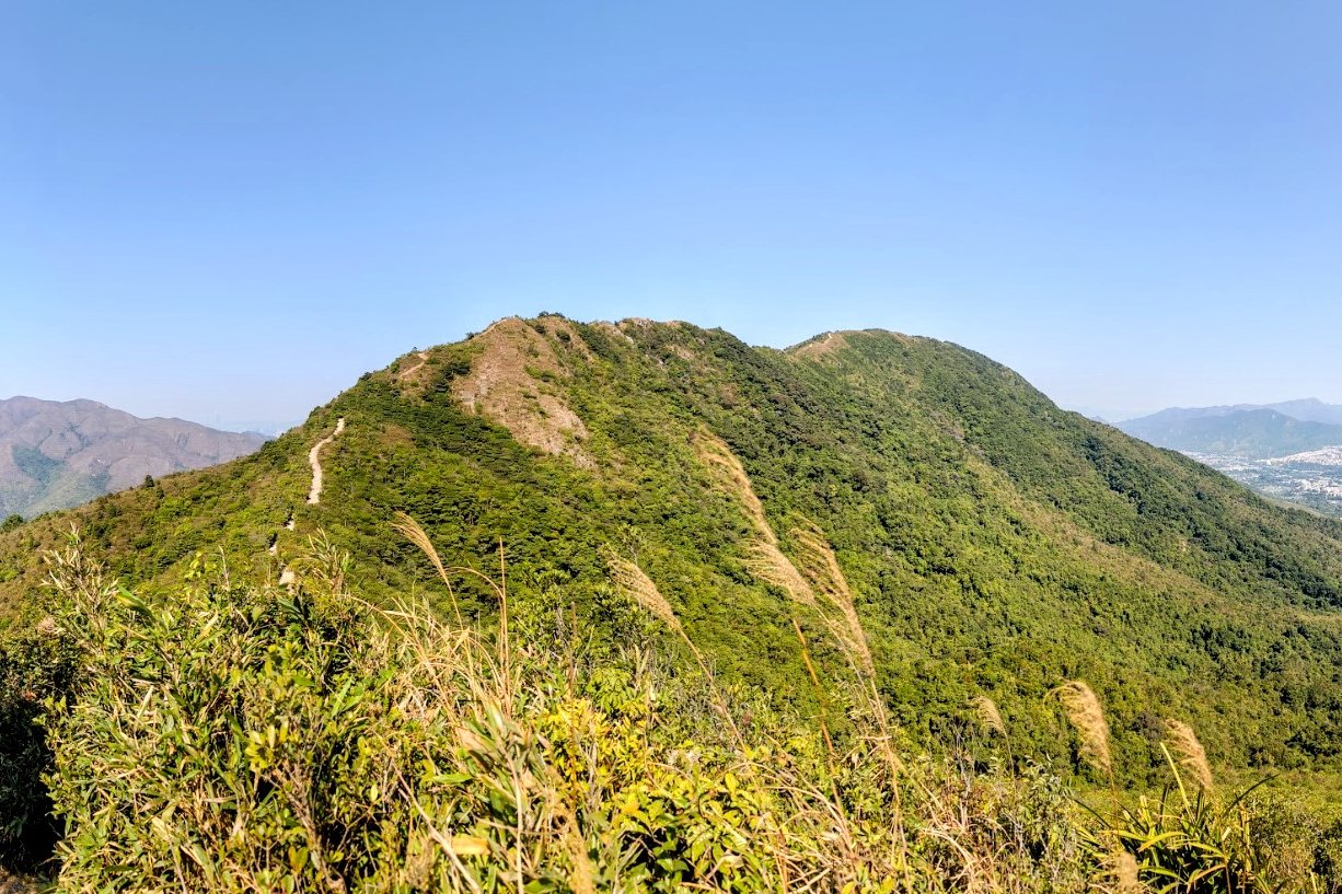
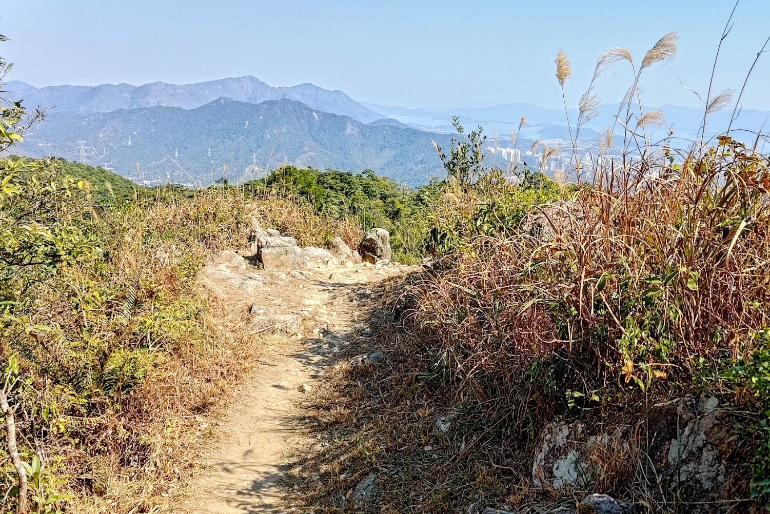
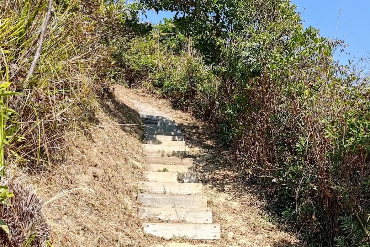
The Exposed Climb to the Summit of Tai To Yan
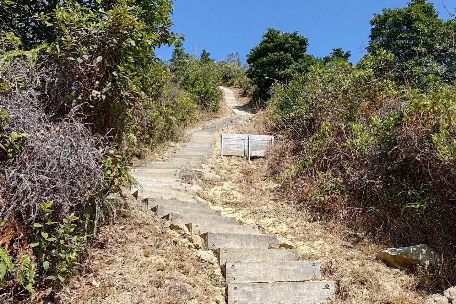
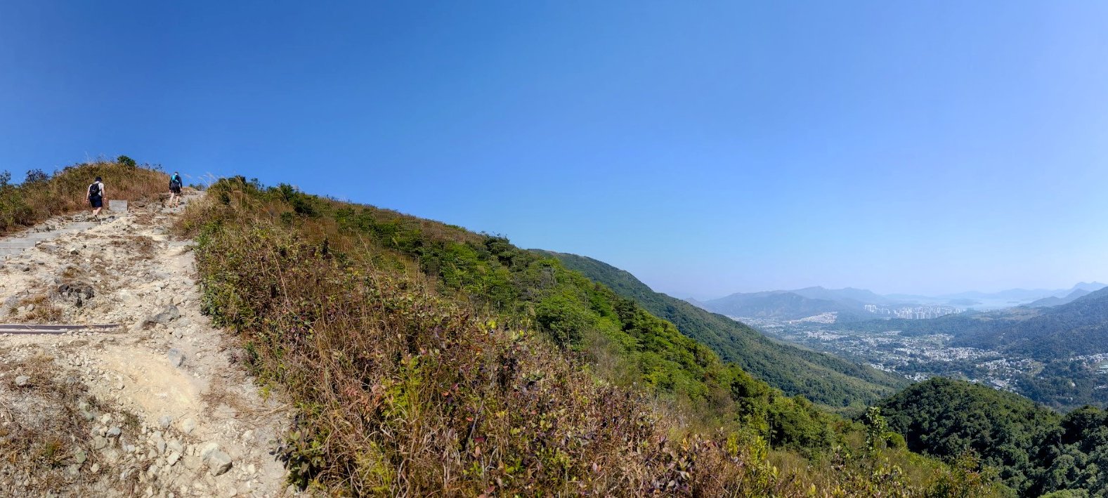

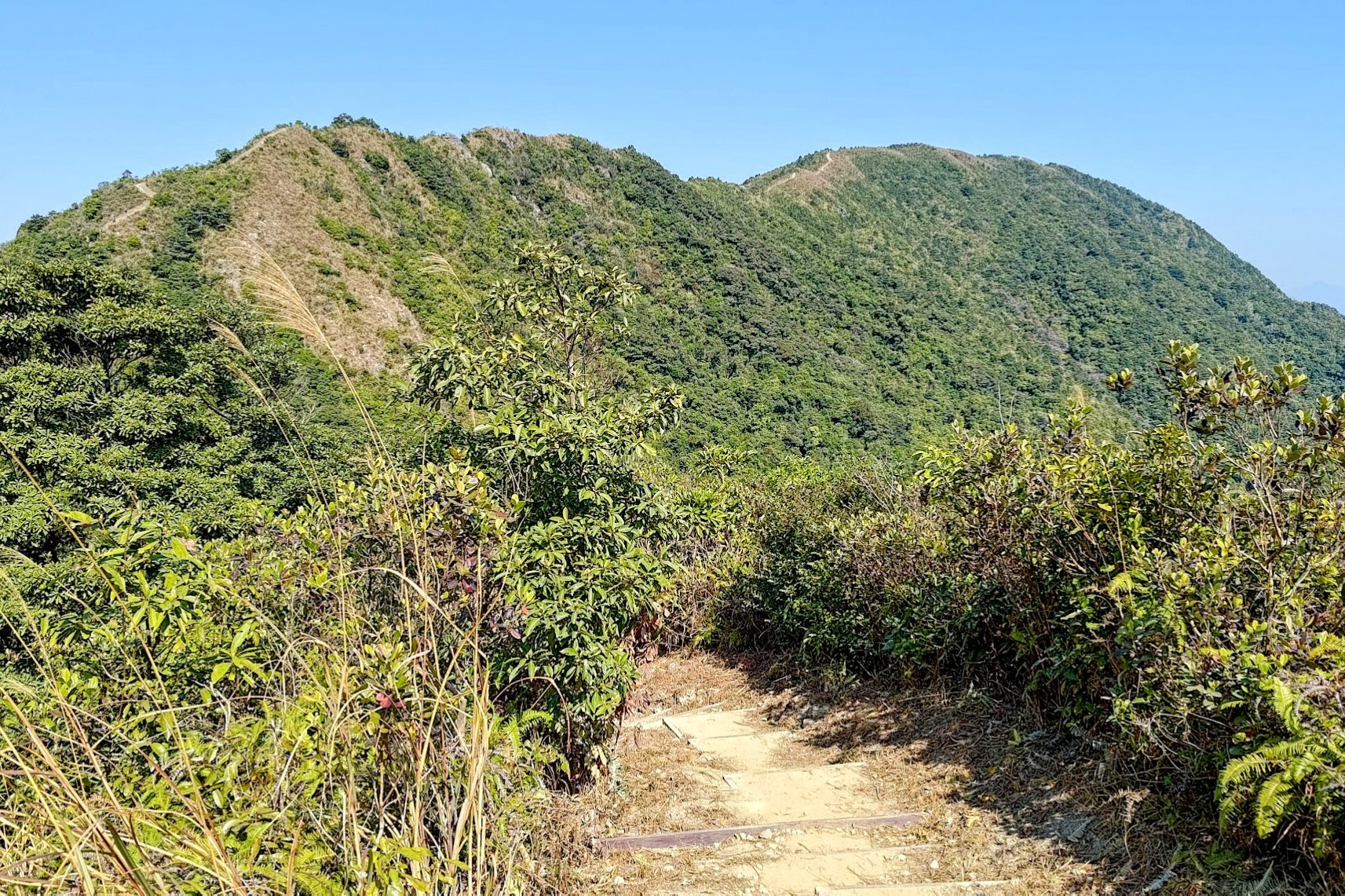
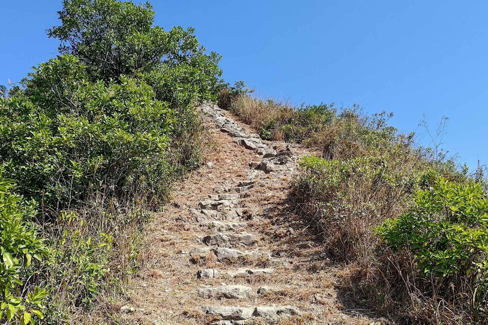
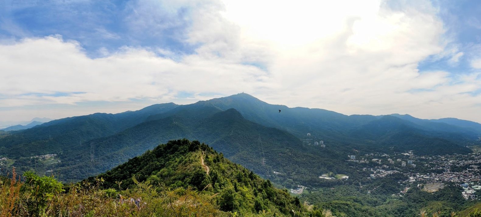
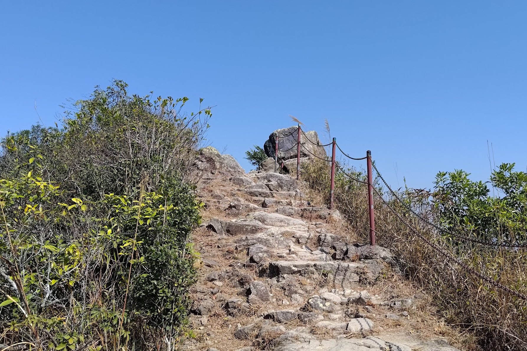
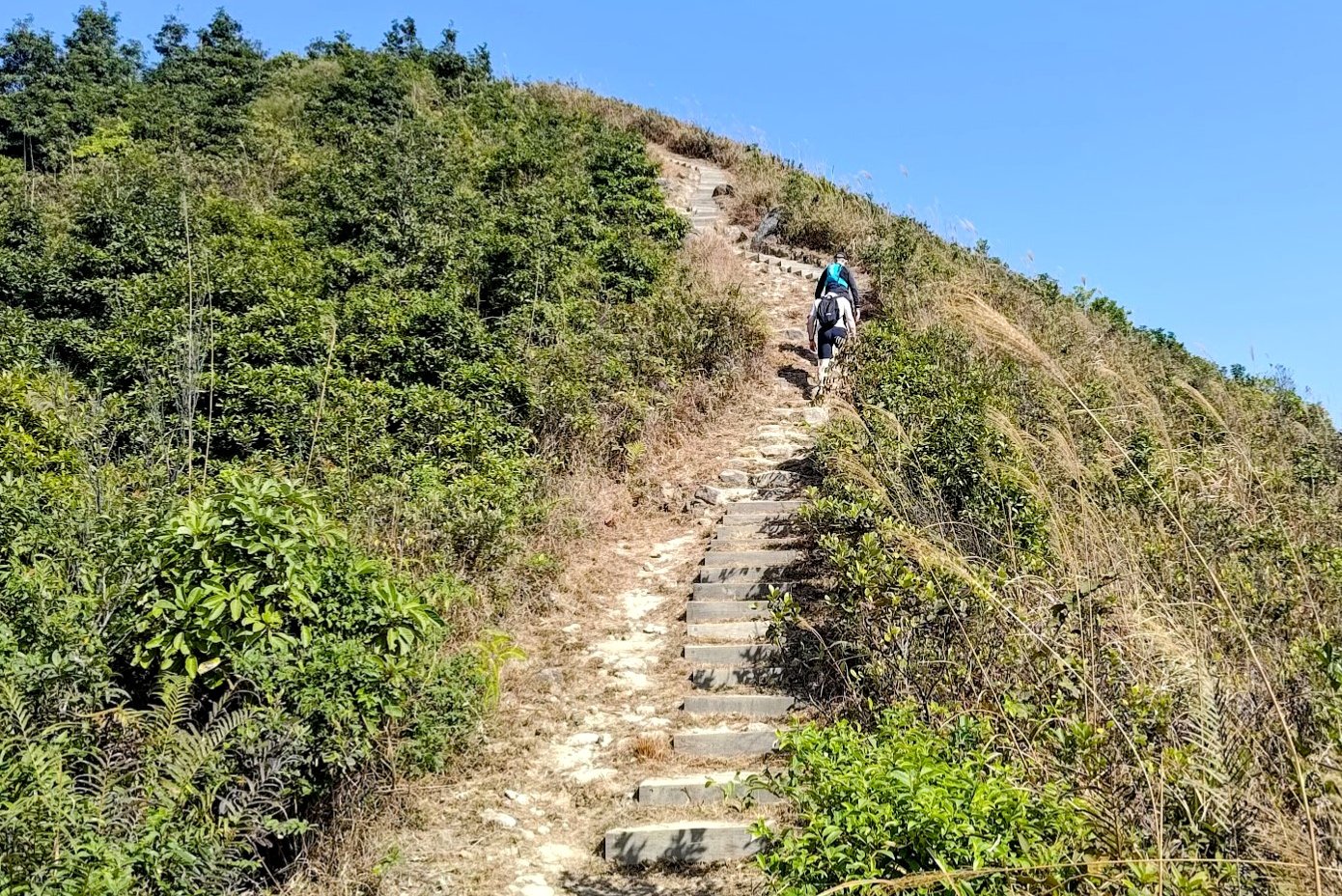

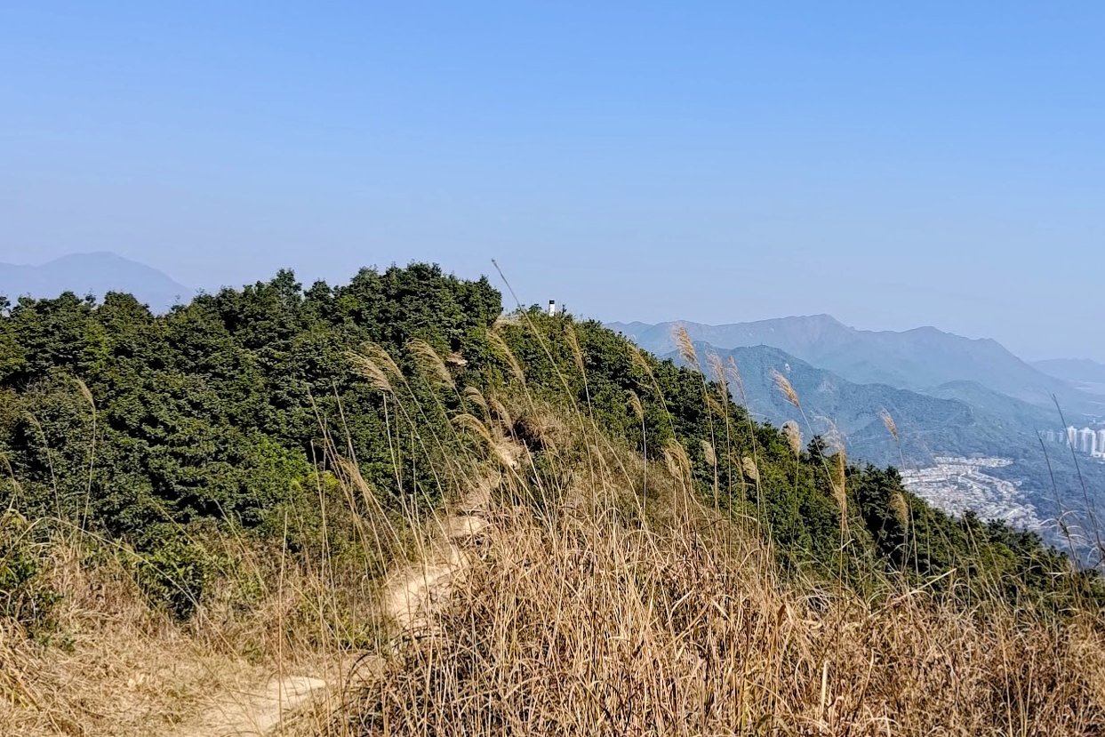
This climbing section took around 45 minutes to complete. As soon as the trail opens up, there's plenty of climbing but also a lot of wonderful views.
Arguably, this is the most scenic portion of the whole hike, so enjoy as you climb and take your time.
If you're hiking Tai To Yan in the summer, it's all exposed from here, so bring plenty of water!
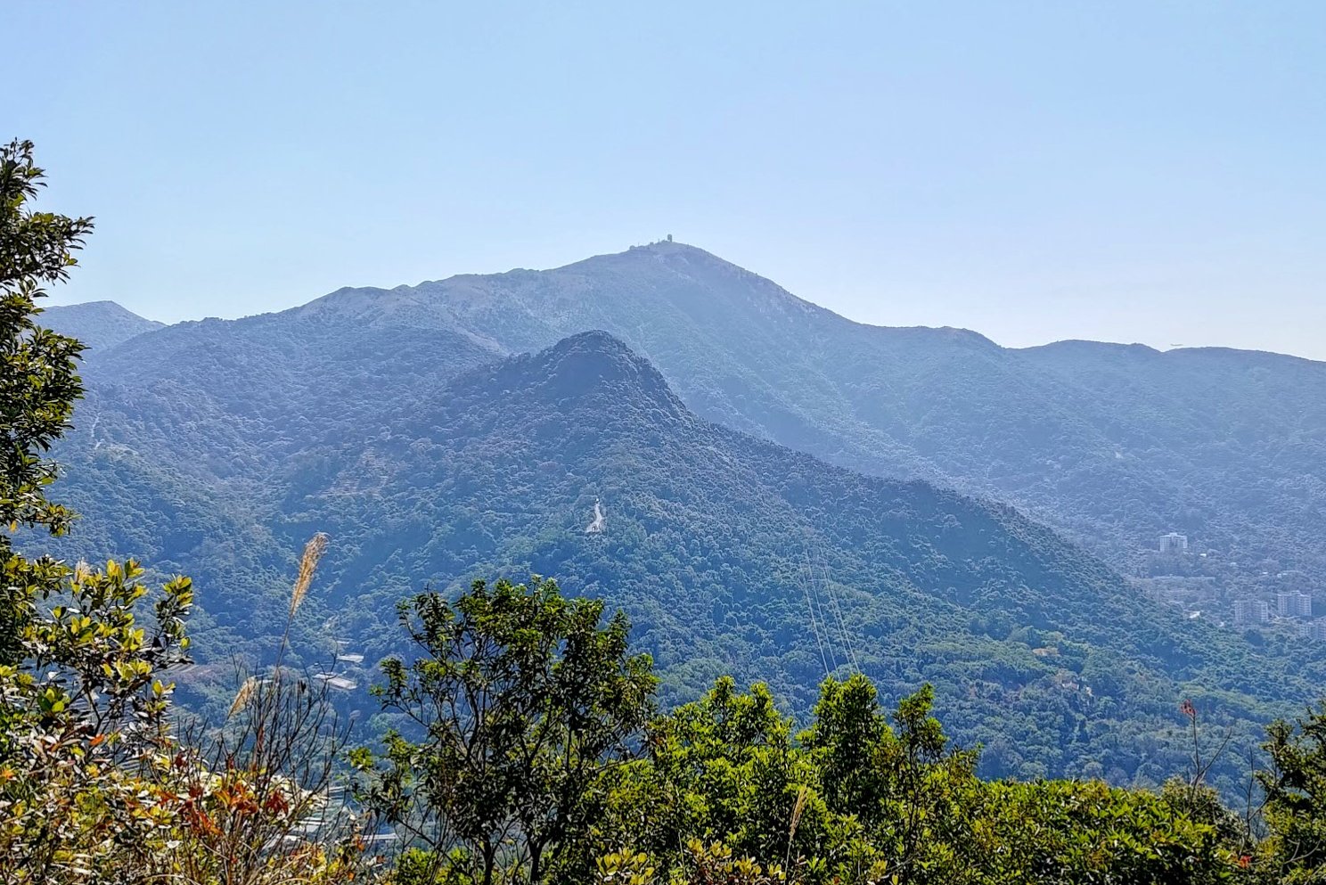
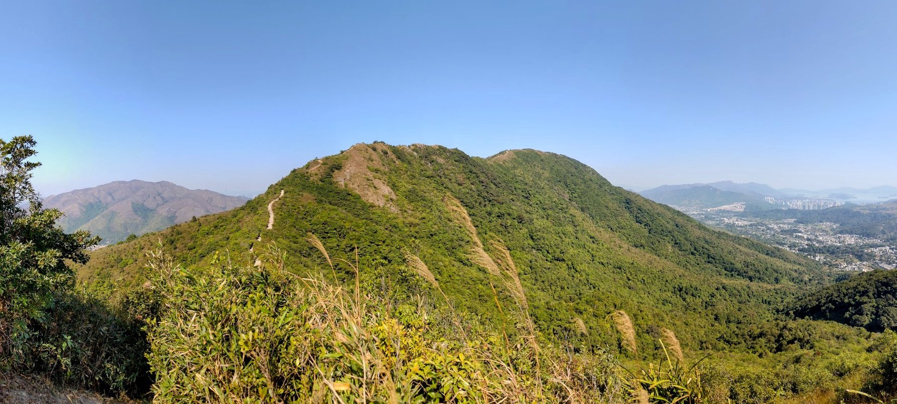
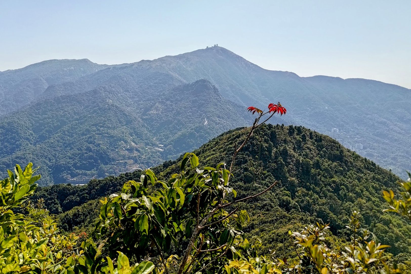
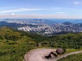
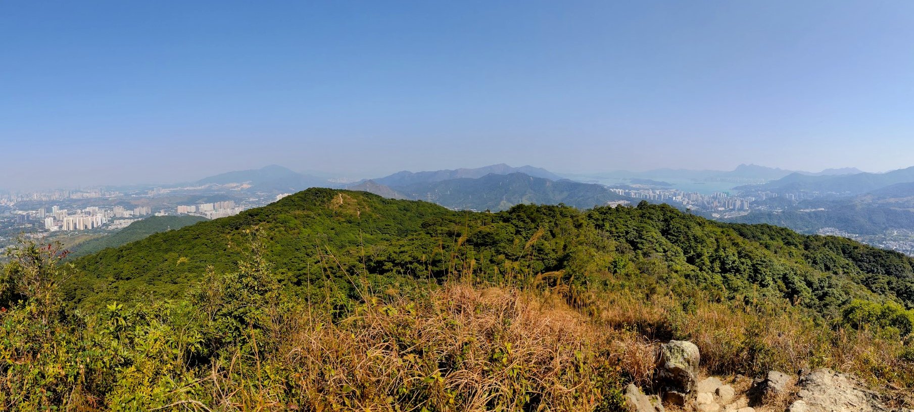
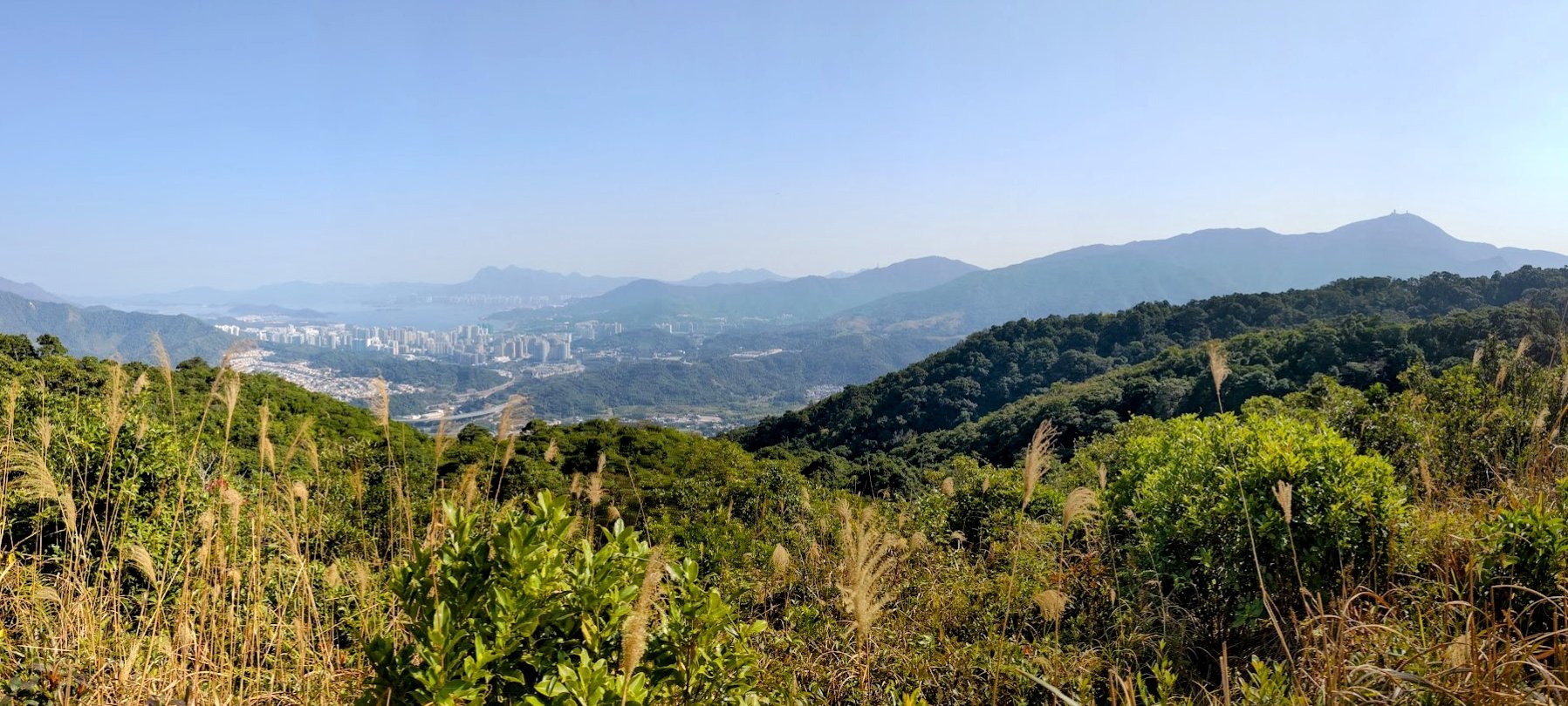
Tai To Yan Summit Views

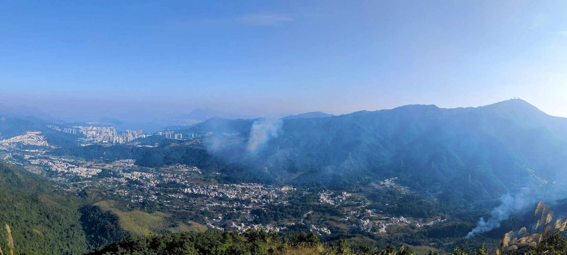
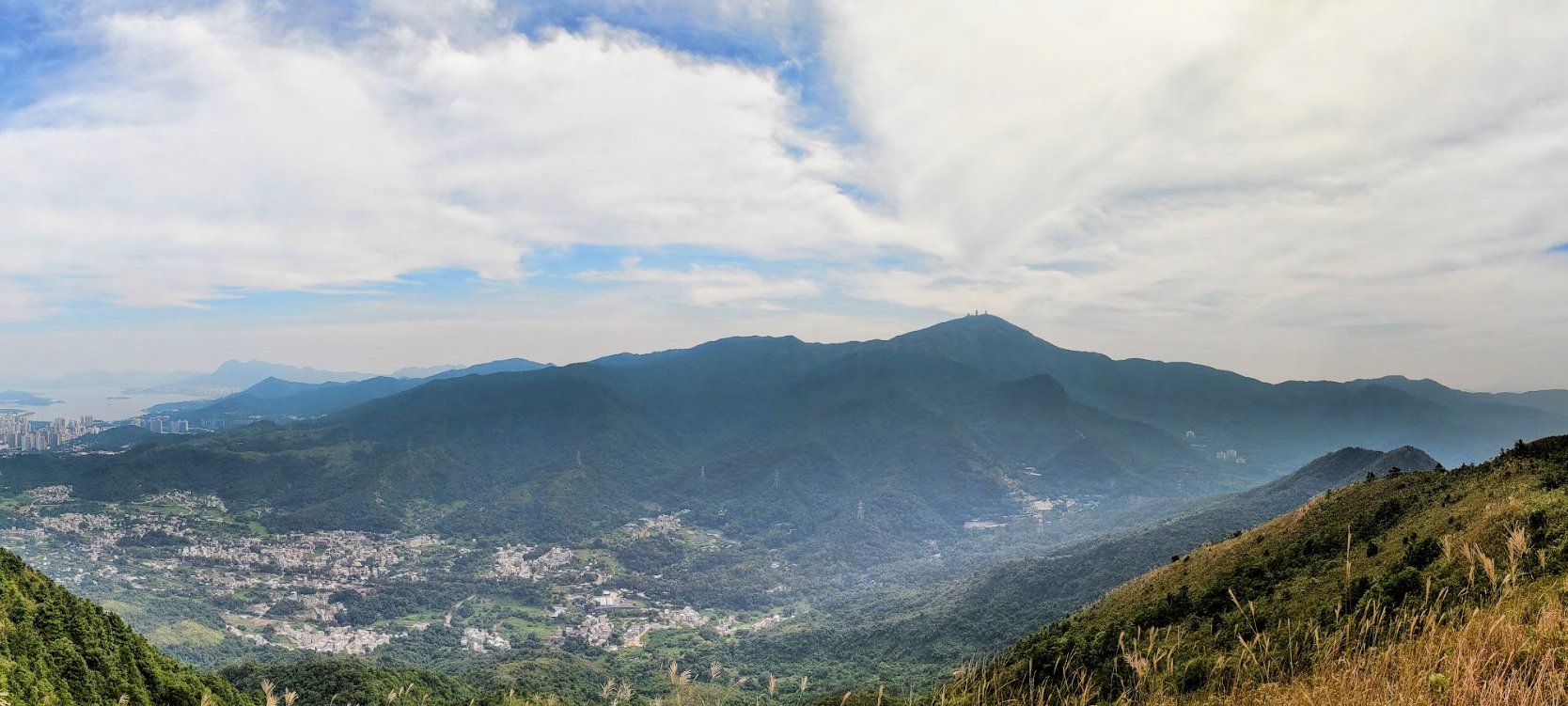
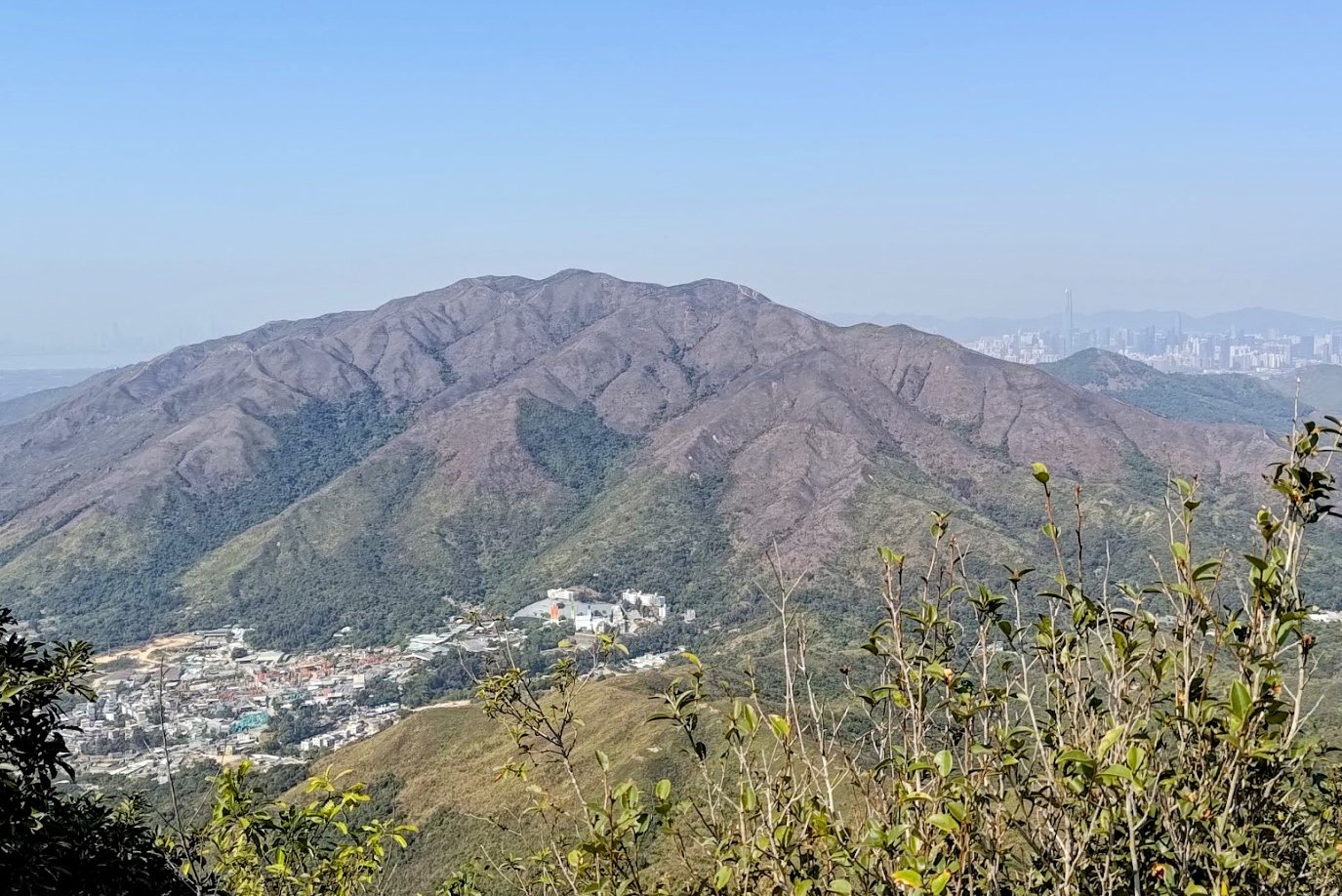
The view from the summit offers a great view of Tai Mo Shan and Lam Tsuen below. You can also see Ma On Shan across the water and even Pat Sin Leng on a clear day!
Again, this area is prone to fires in the winter, so be vigilant while hiking.
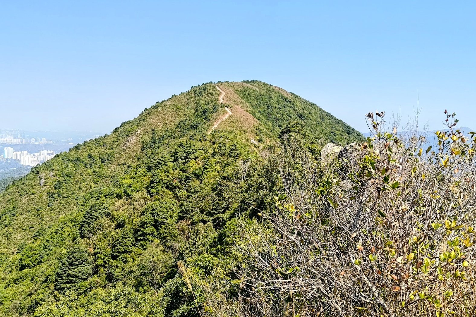
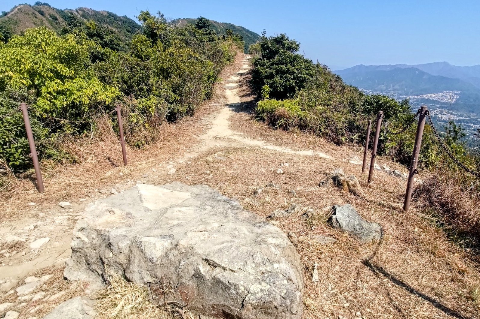
Hiking to Pak (North) Tai To Yan
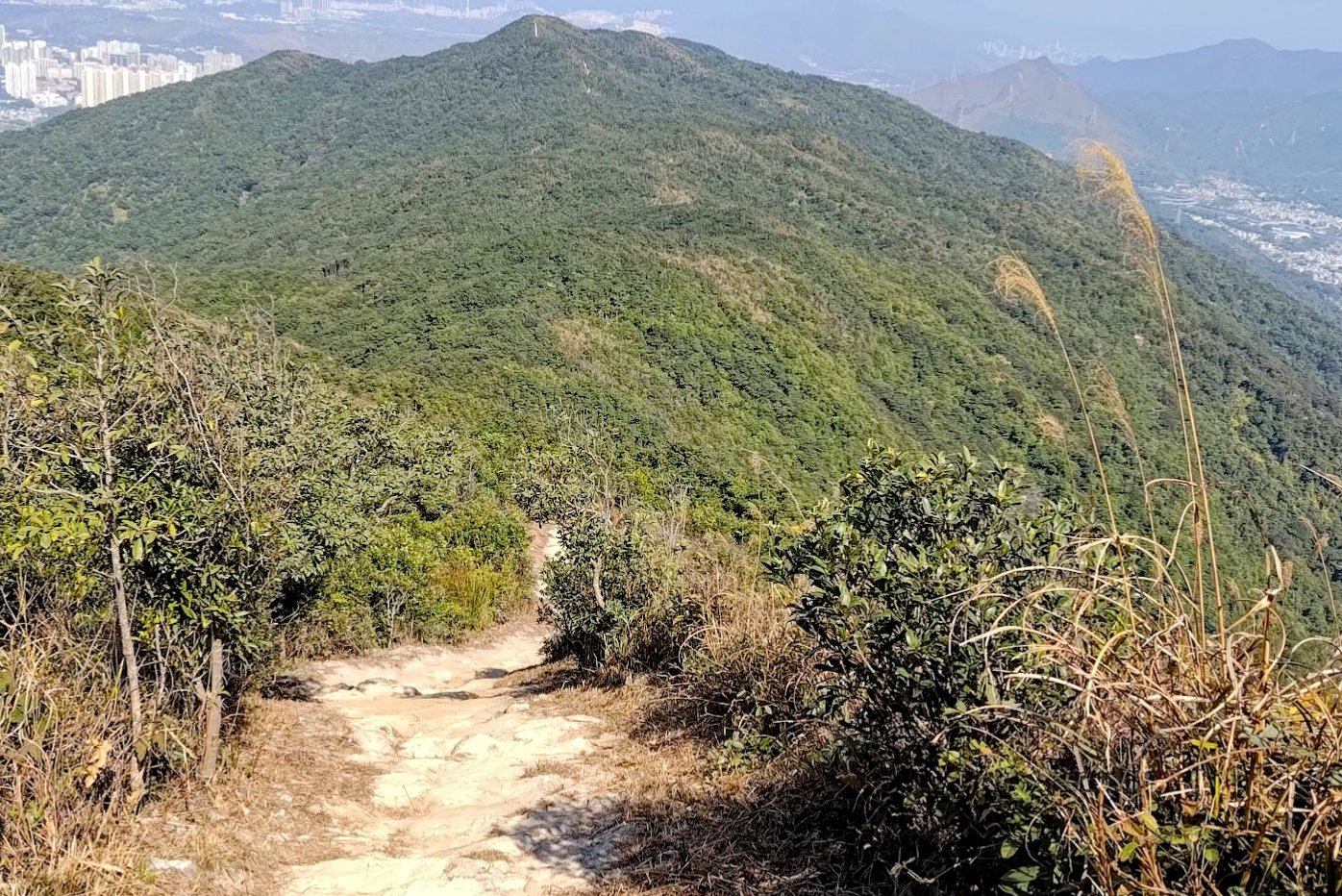

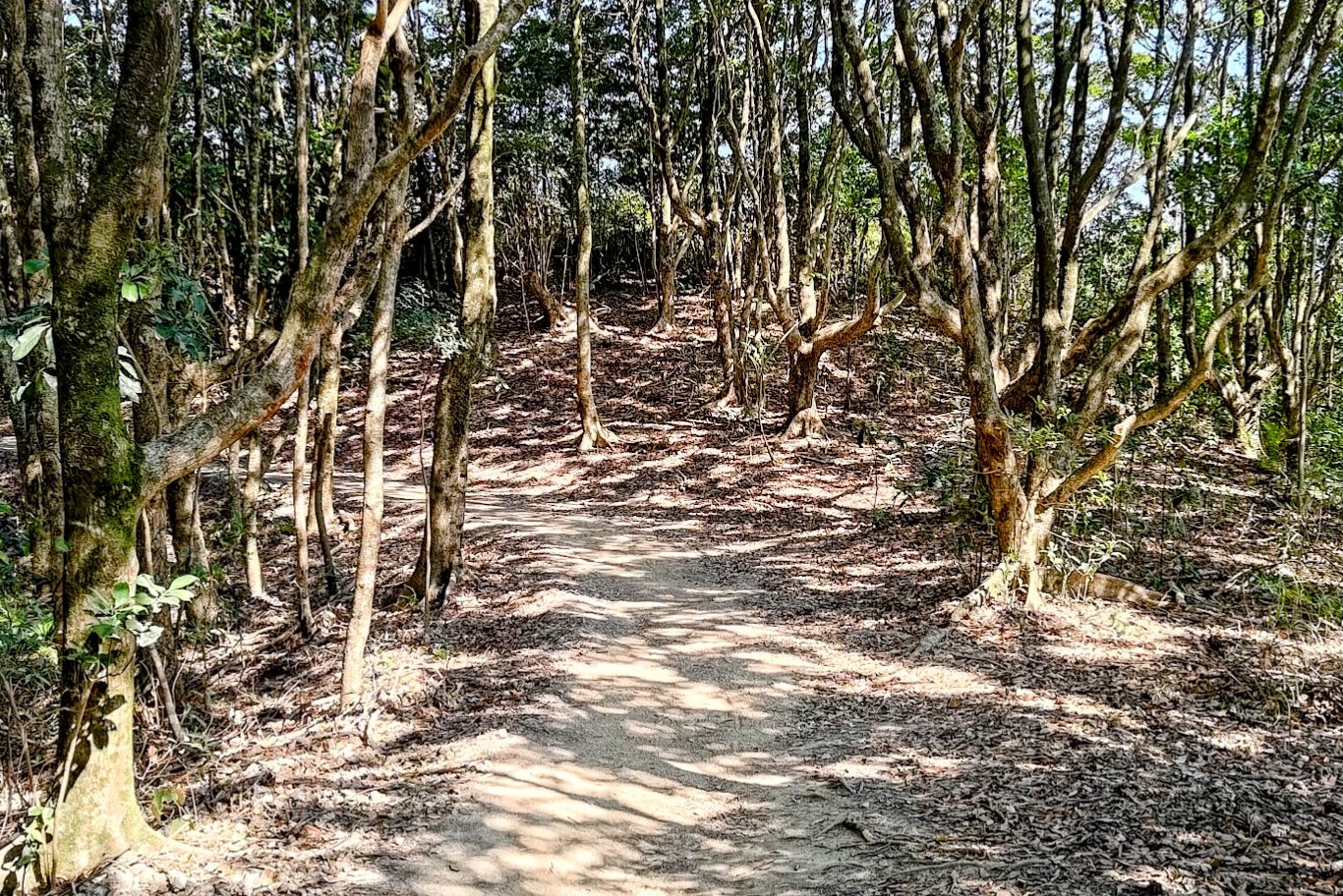

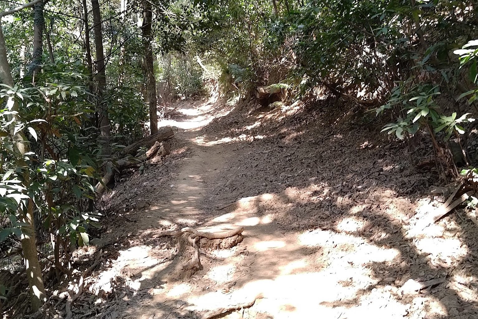
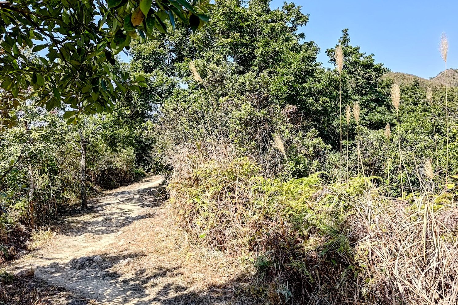
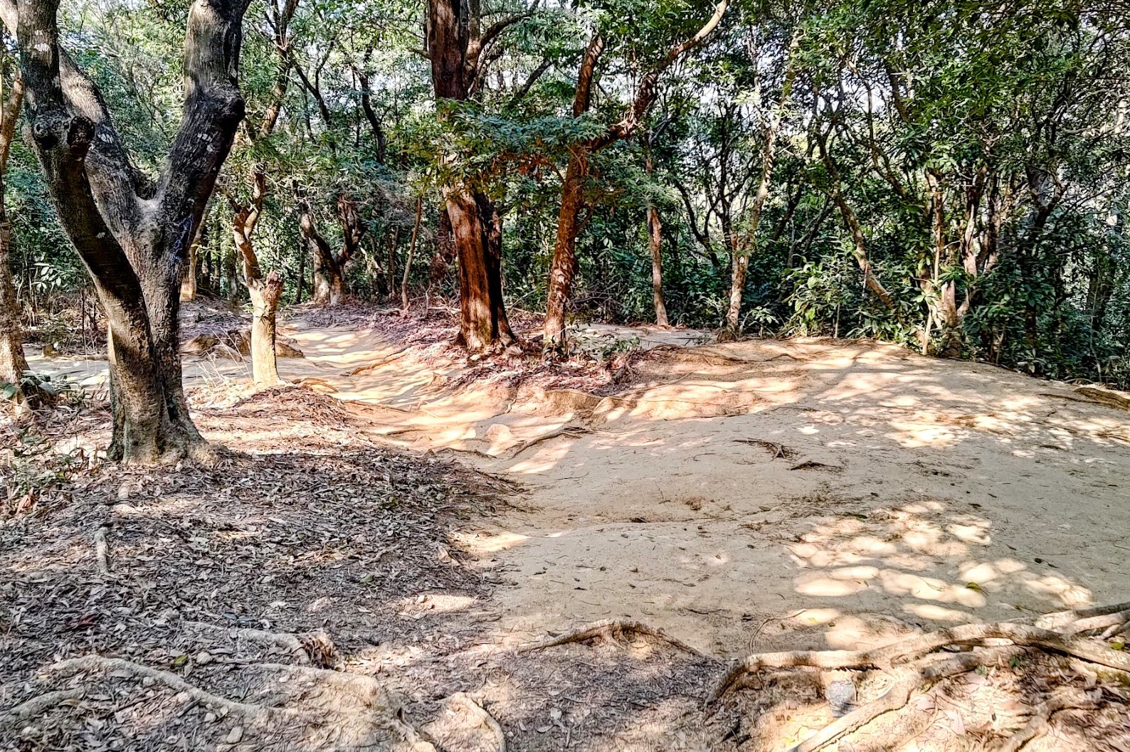
This portion of the hike took about 40 minutes to complete. The trail will undulate quite a lot here with downhill sections, climbs and even flat, forested areas.
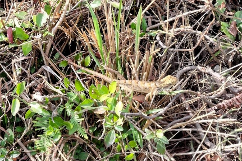
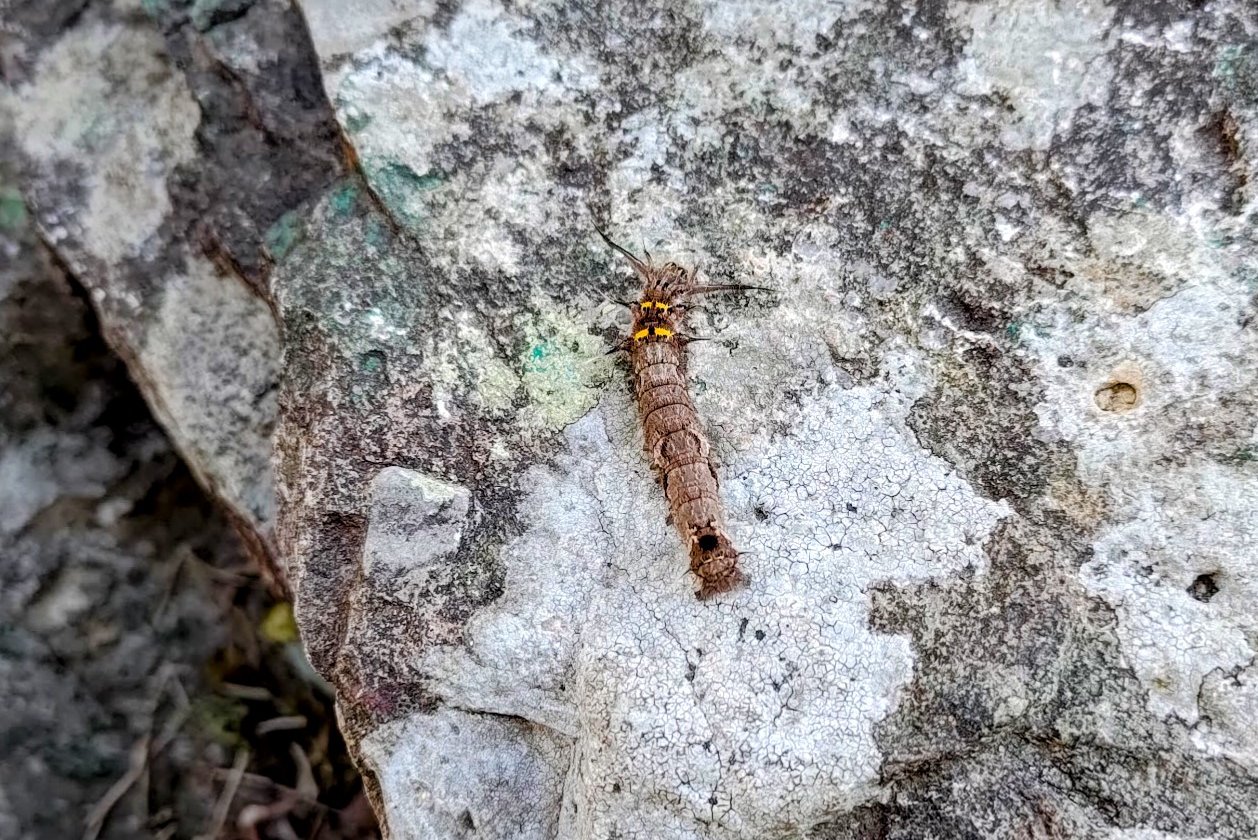
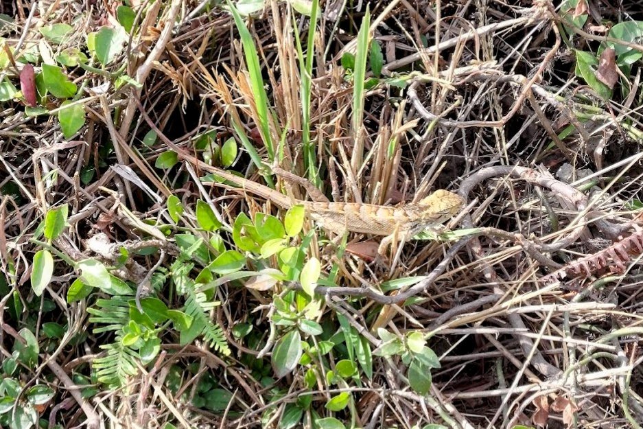
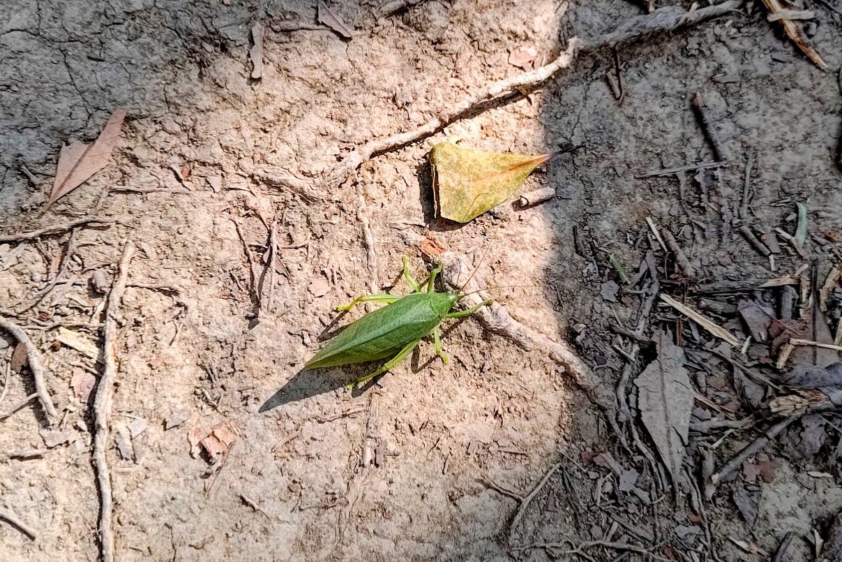
While there are a few steep climbing sections, they are nowhere near as potent as the ones you've already conquered. You'll have plenty of time on the way to Pak Tai To Yan to look out for unique animals like the grasshopper I spotted along the way!
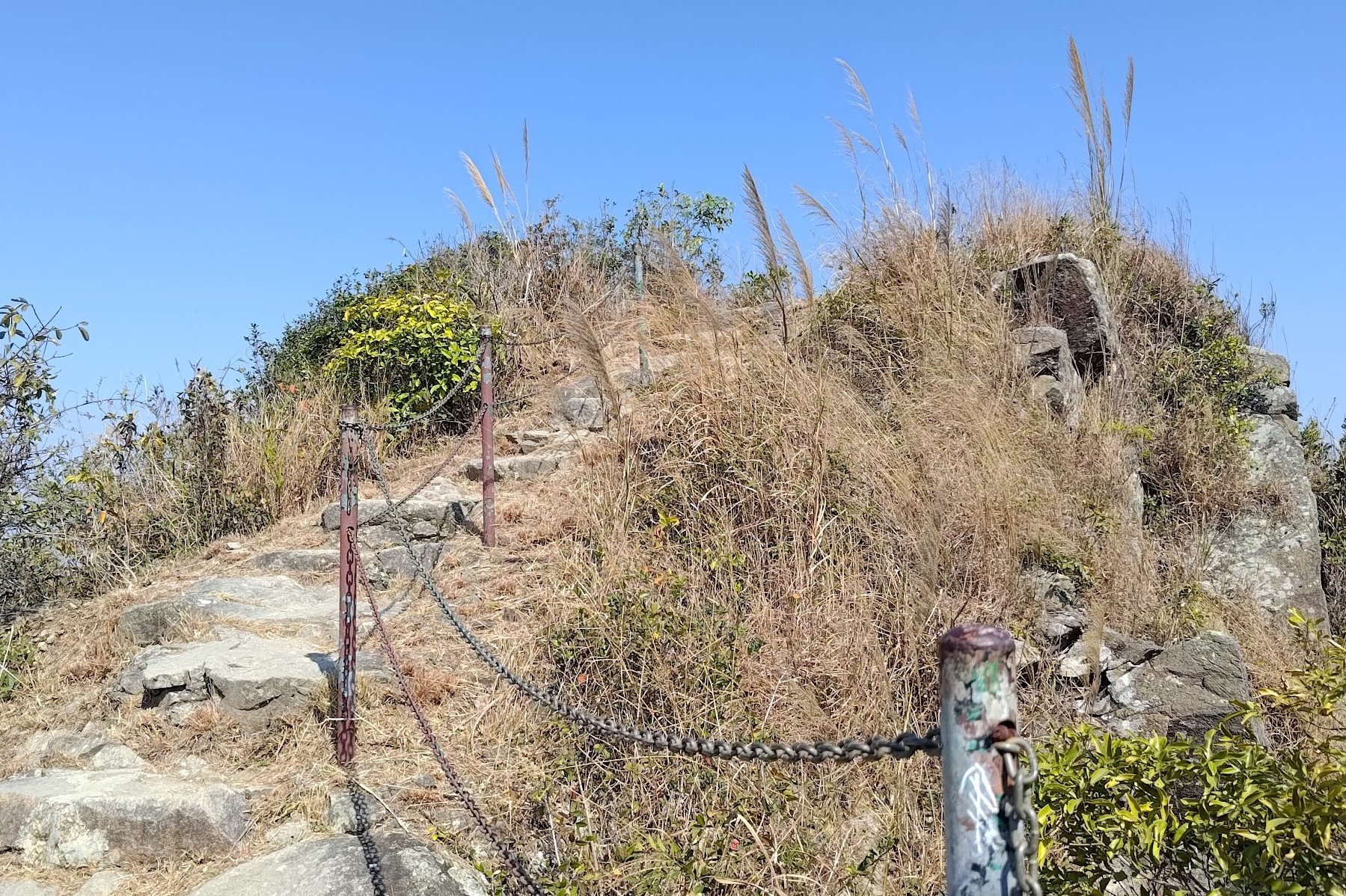
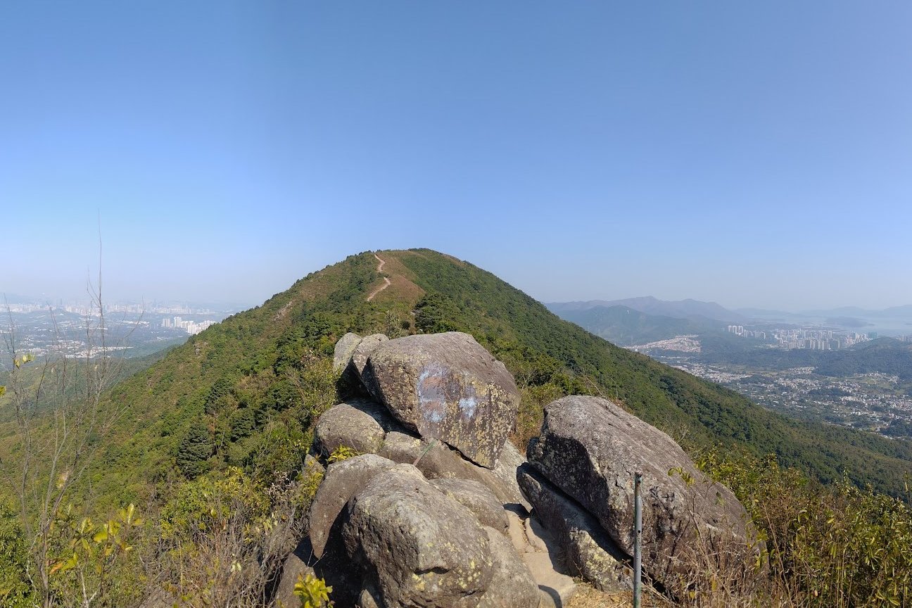
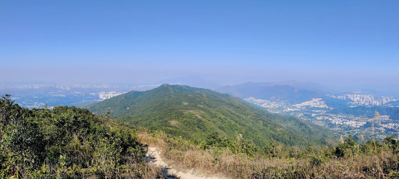
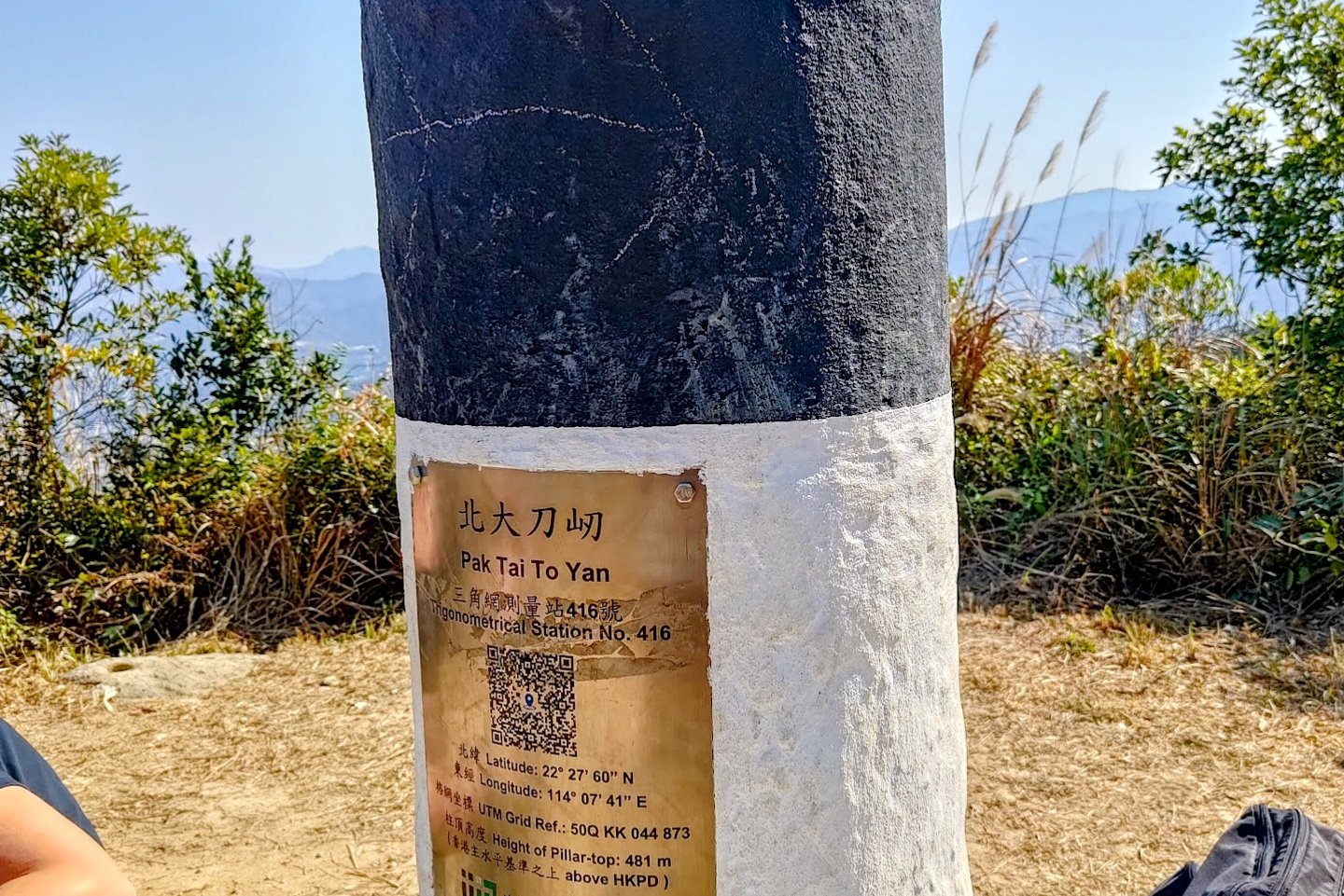
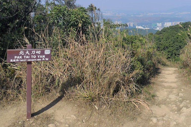
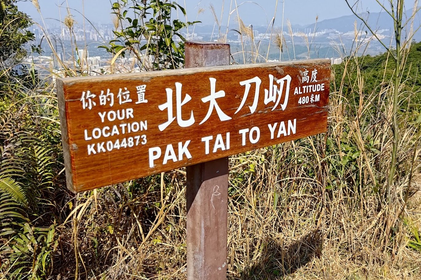
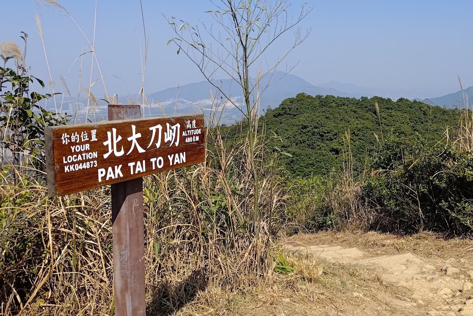
The black and white trigonometrical station indicates when you have arrived at the summit of Pak Tai To Yan.
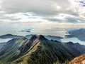
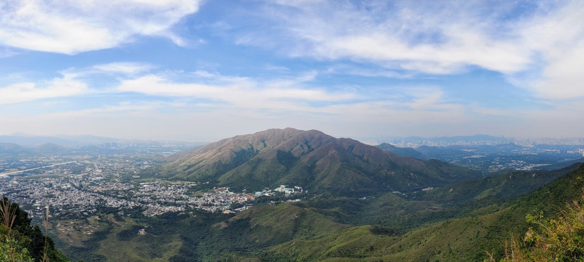
Pak Tai To Yan Summit Views
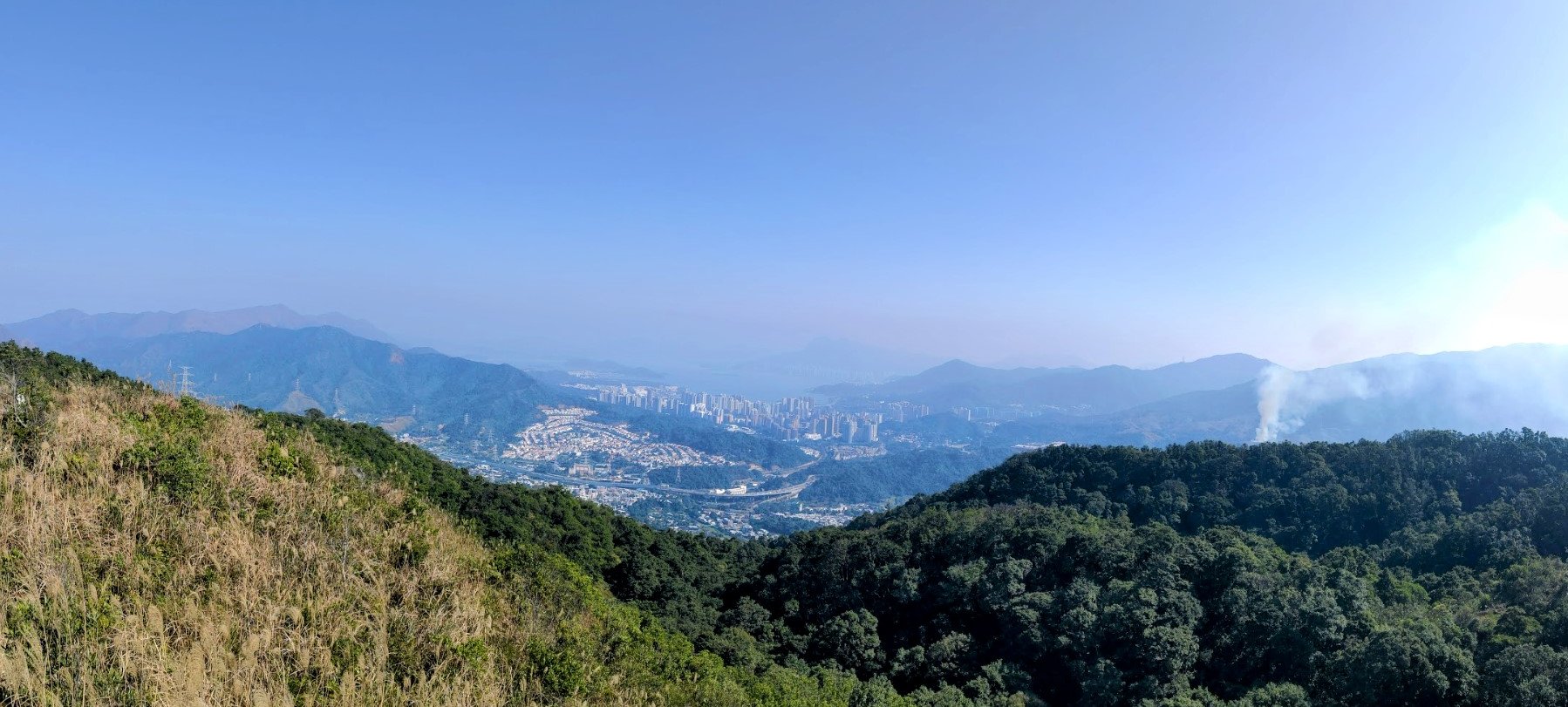
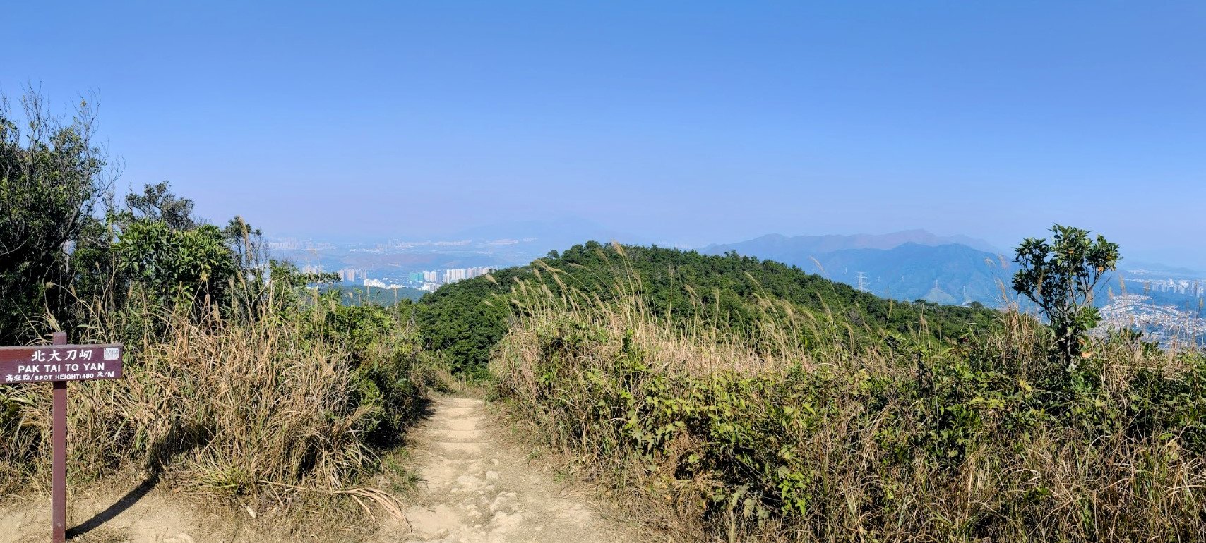
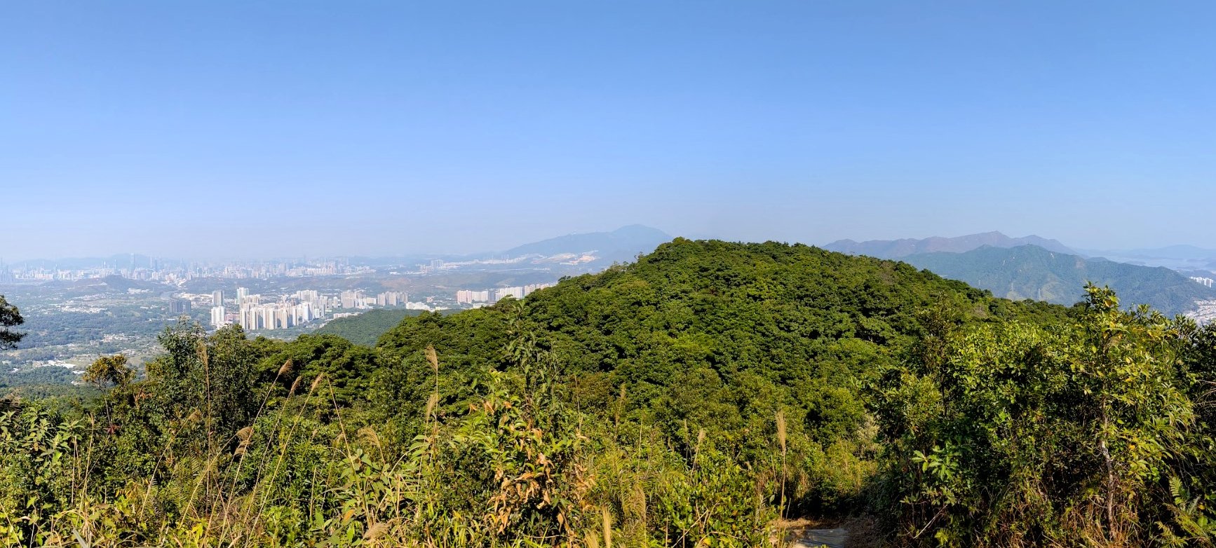
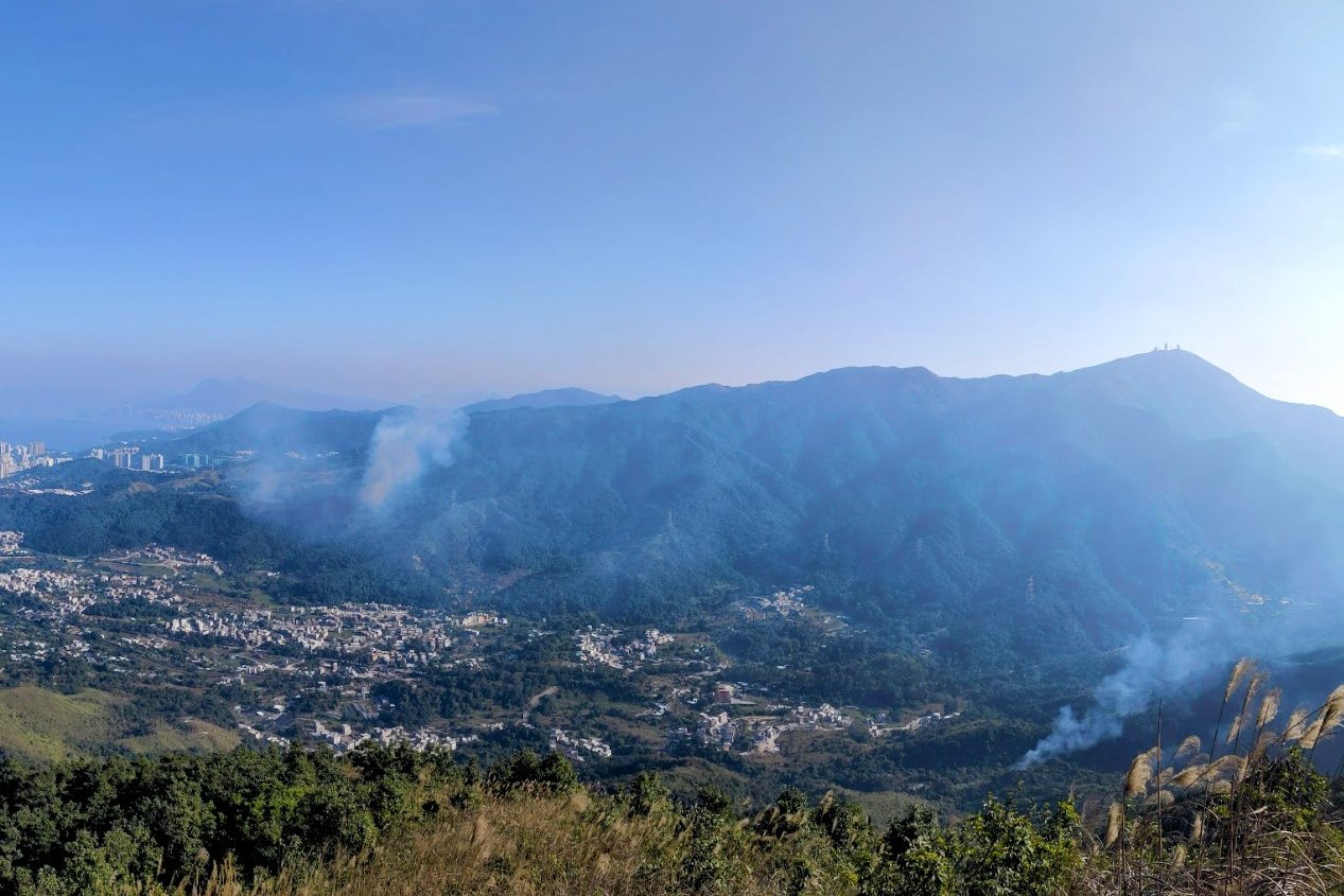
The views from Pak Tai To Yan are great for admiring the mountains around Plover Cove such as Pat Sin Leng and Ma On Shan, across the water!
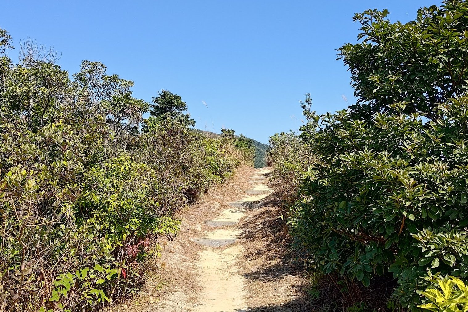
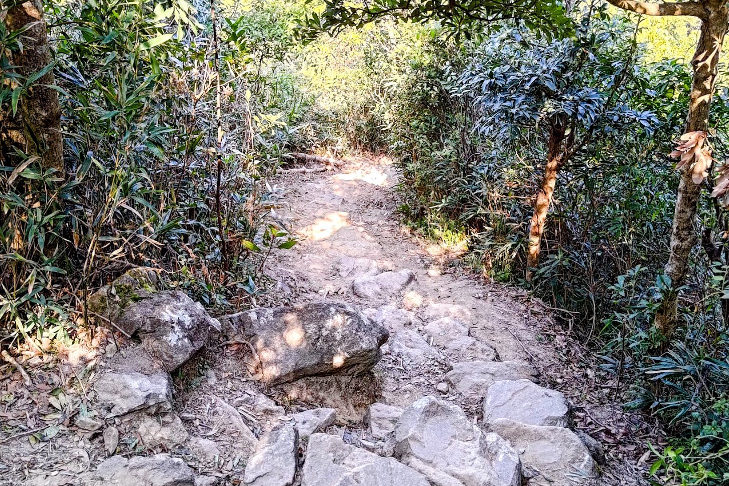
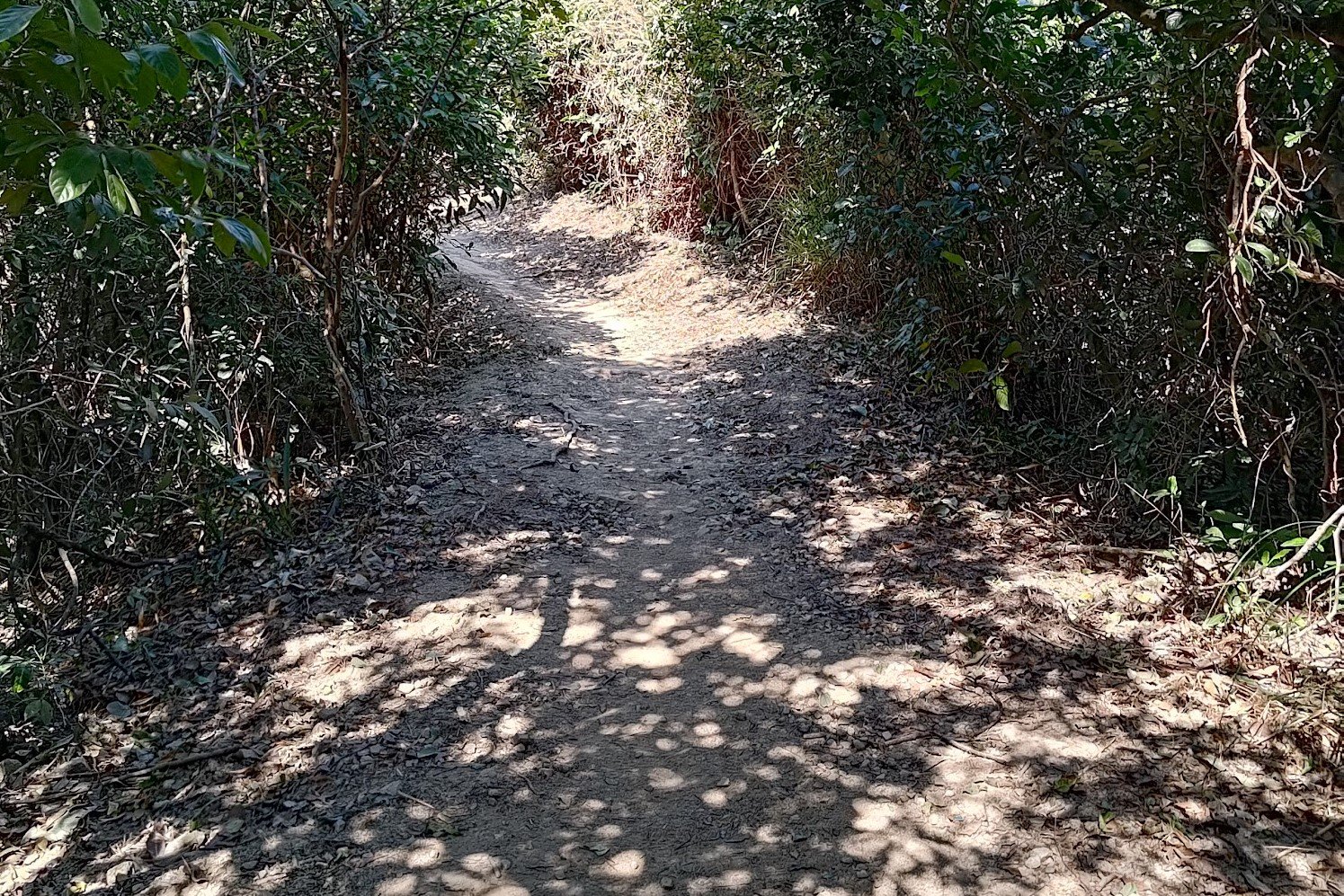
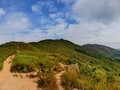
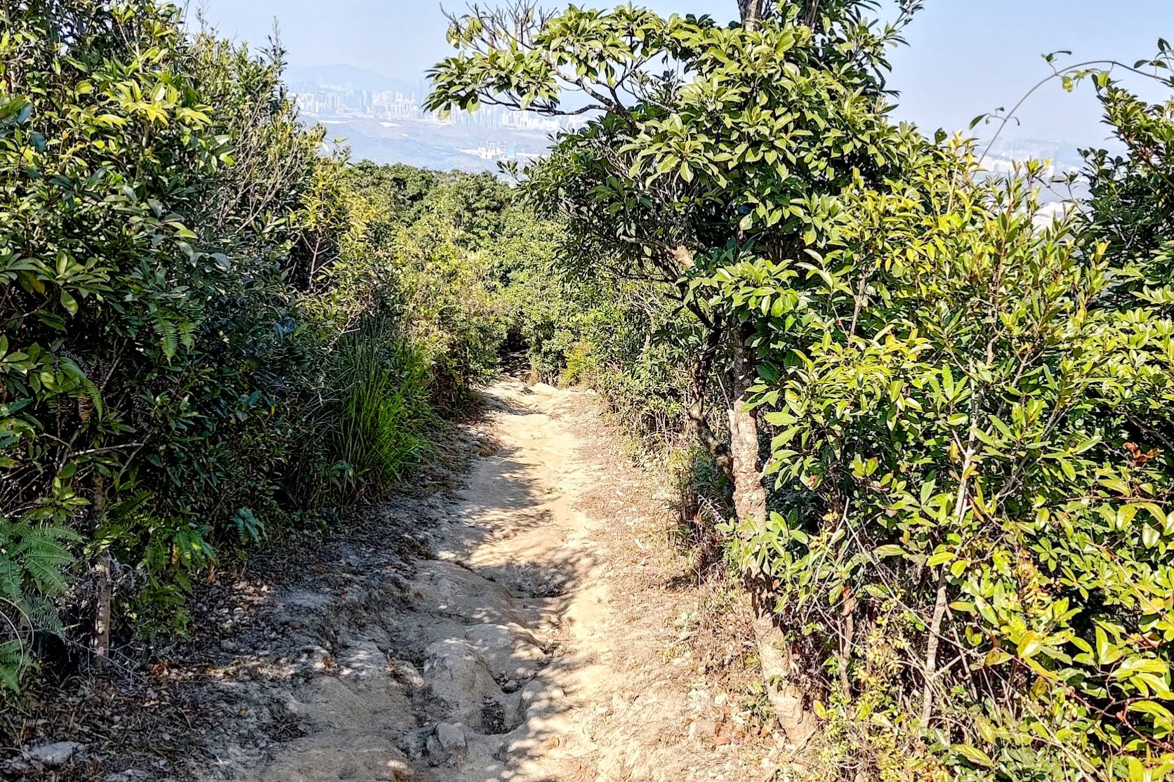
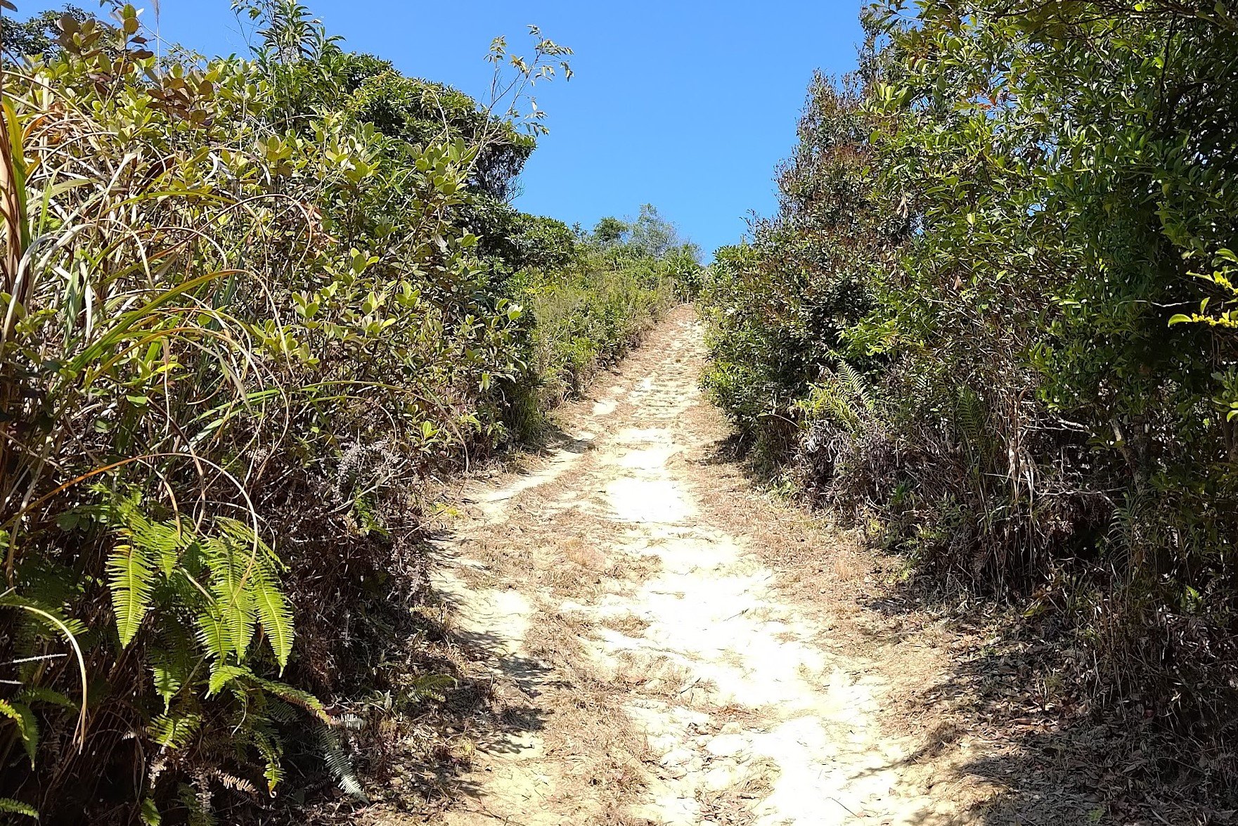
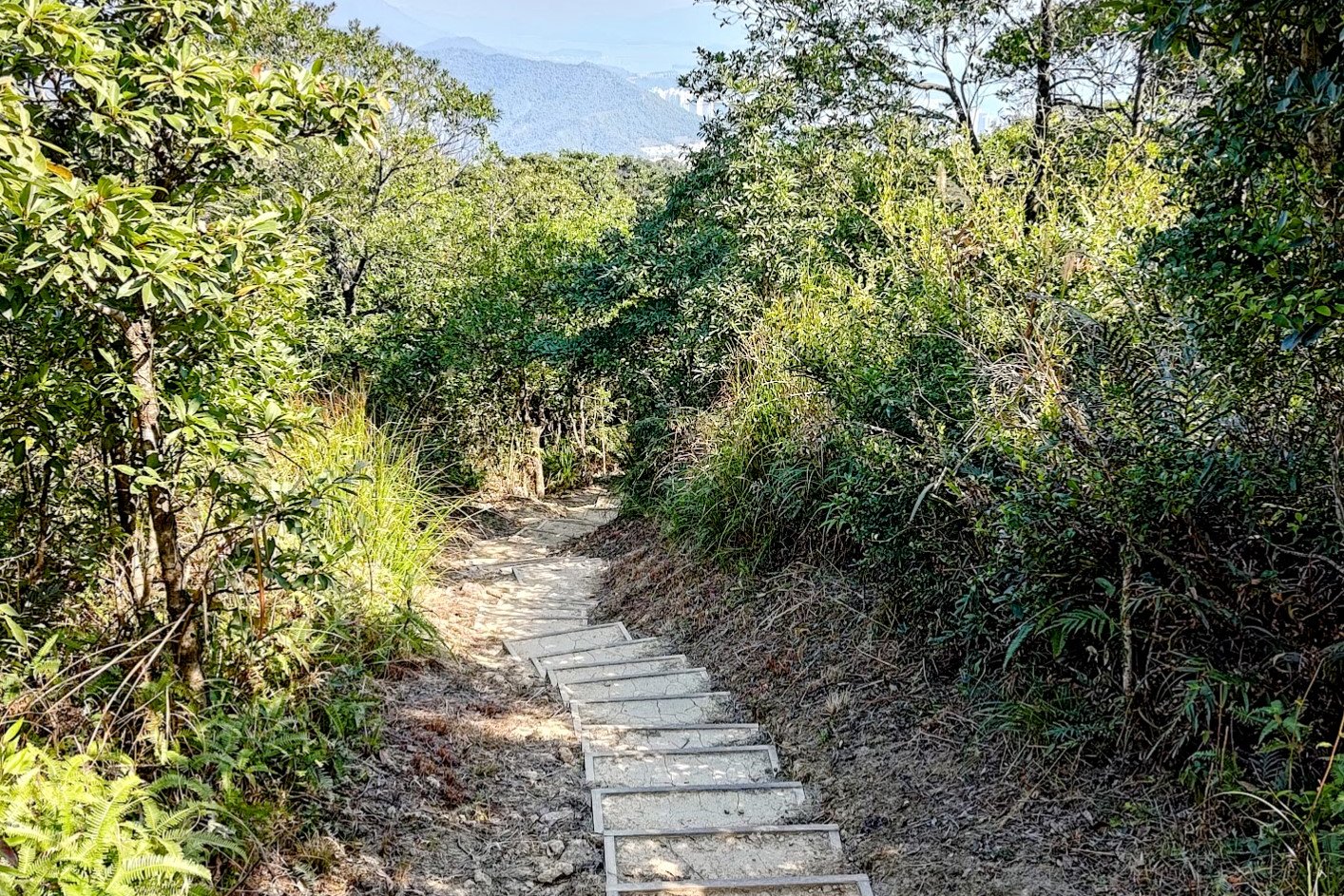
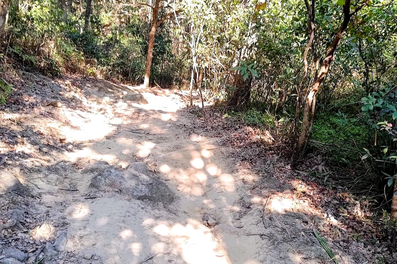
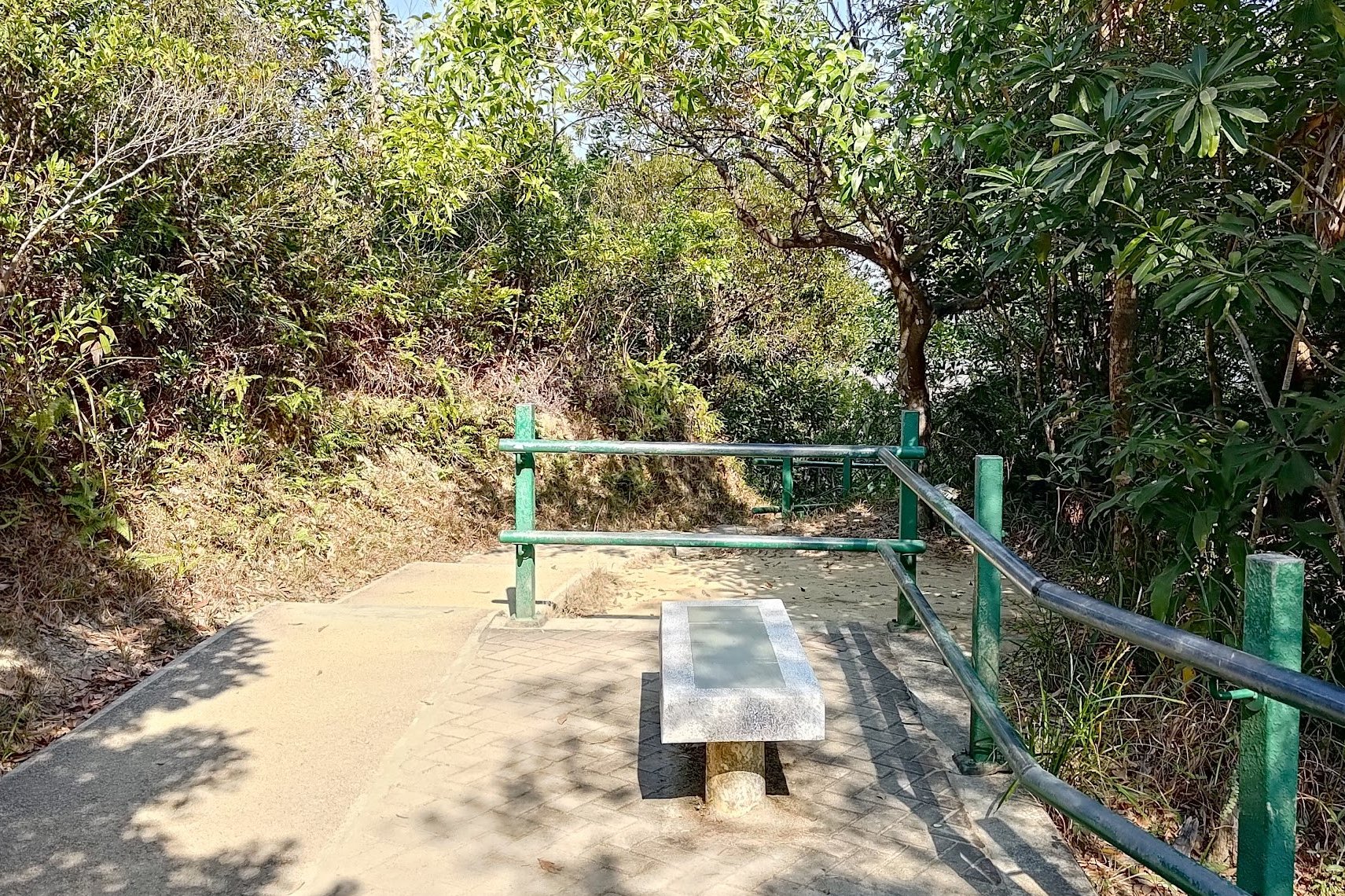
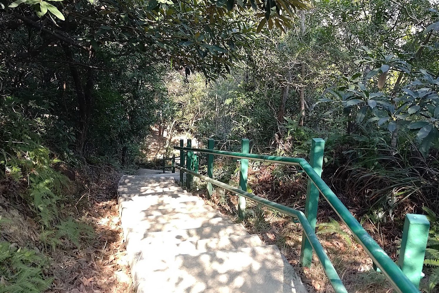
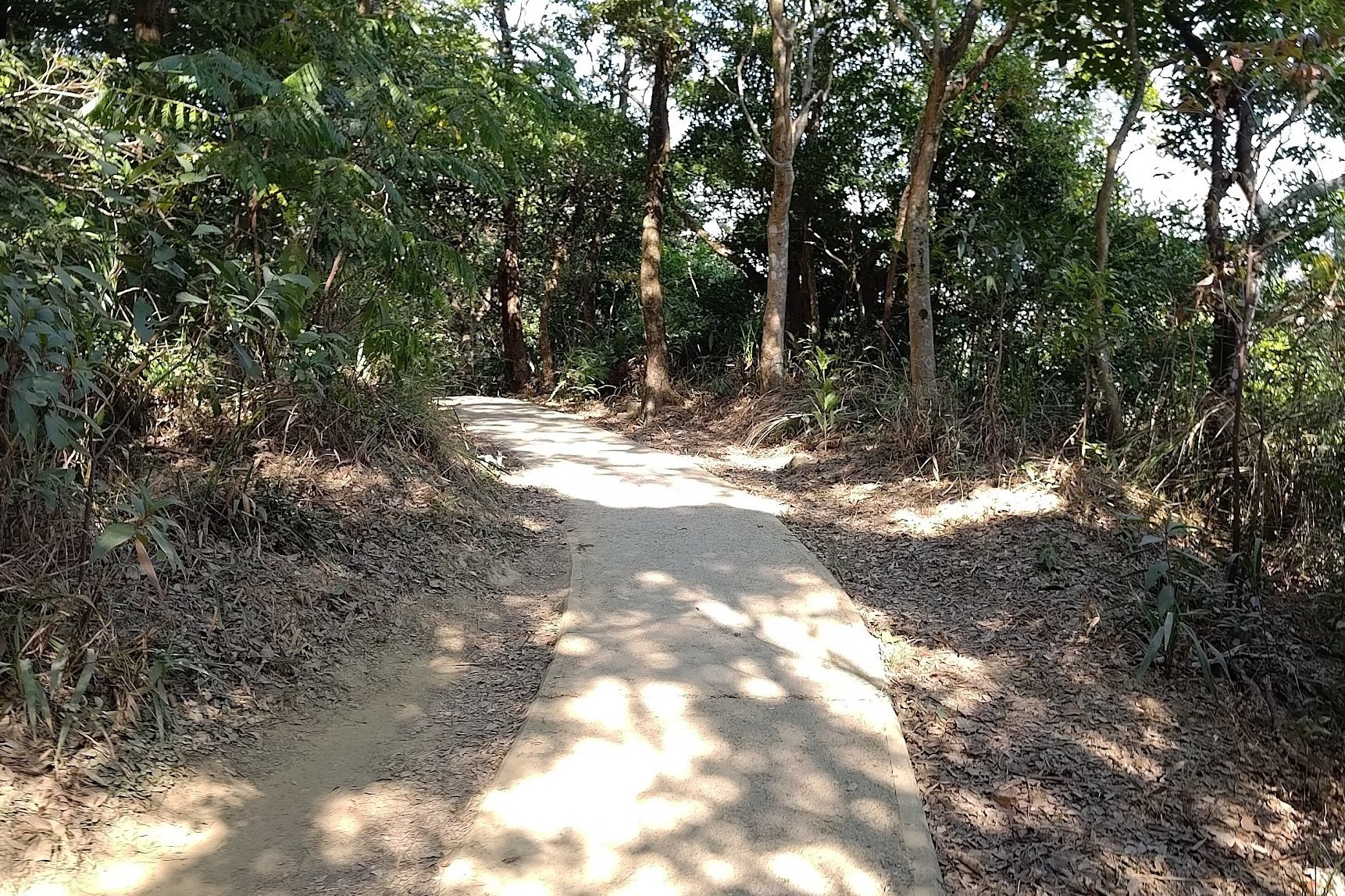
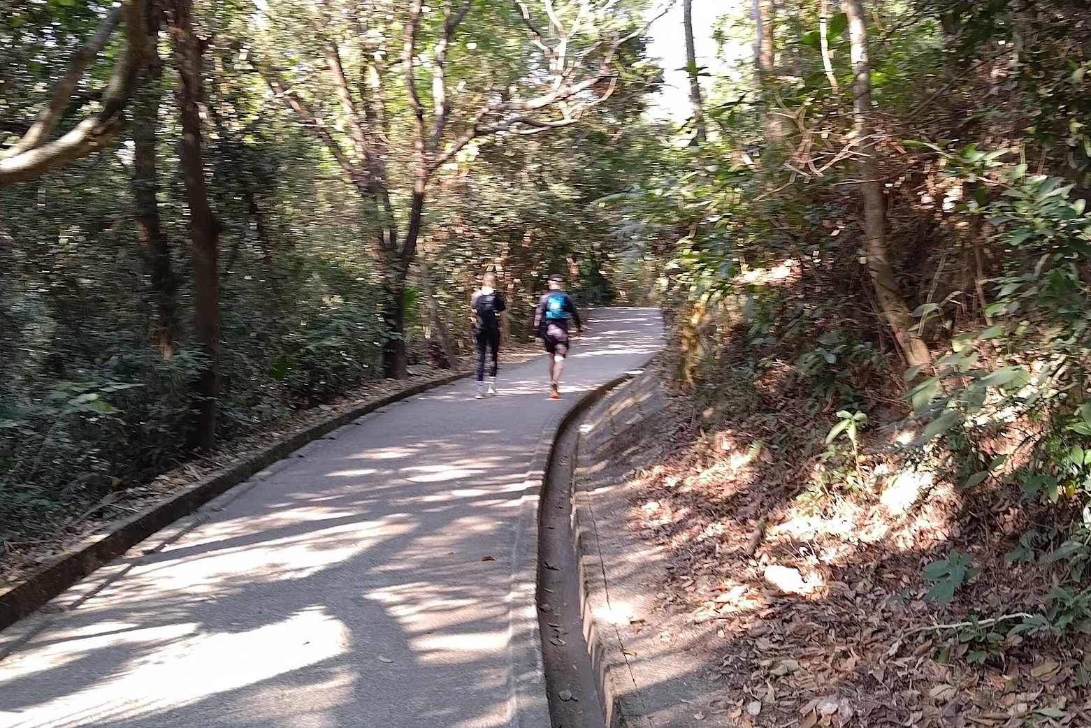
The Beautiful First Half of the Descent
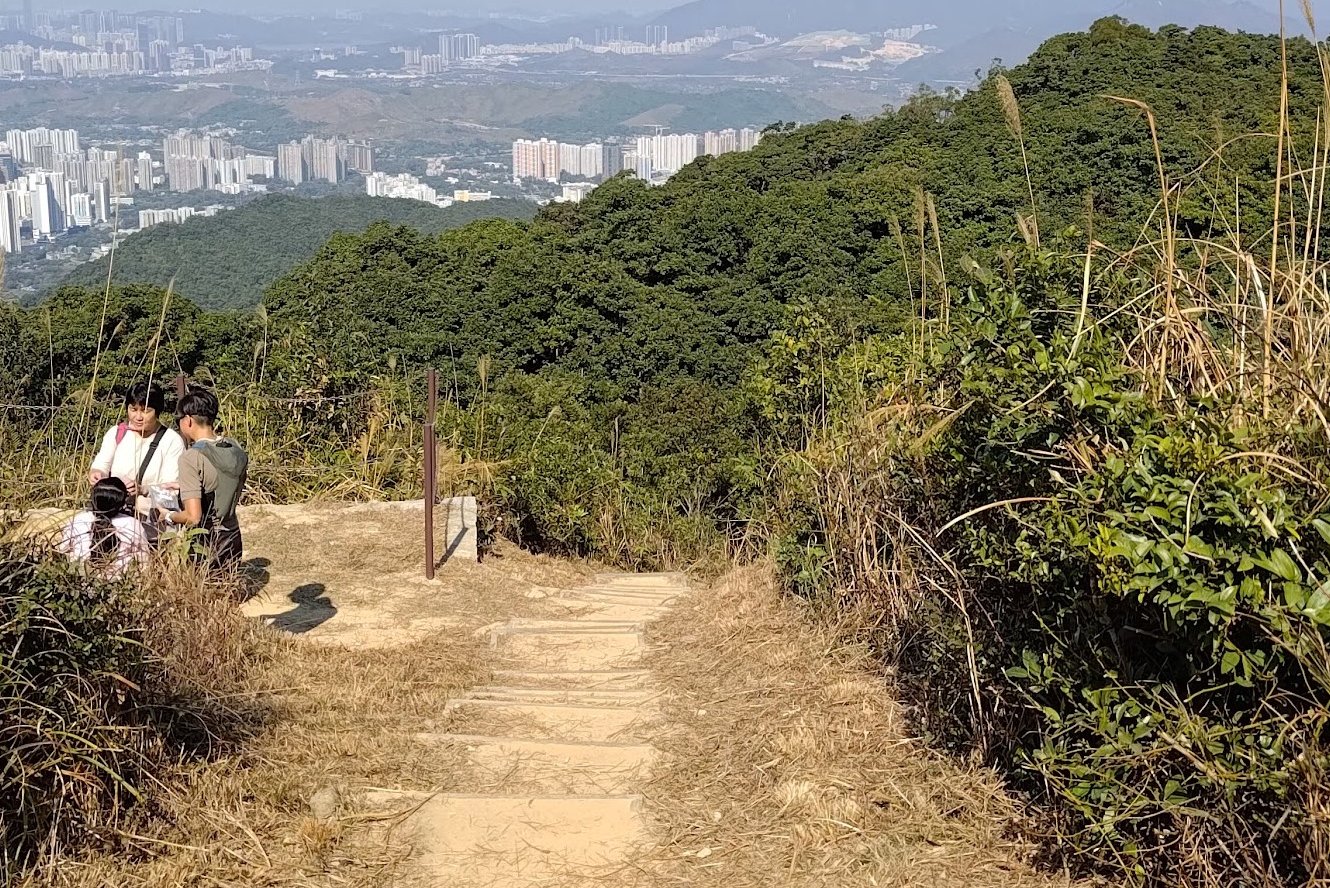

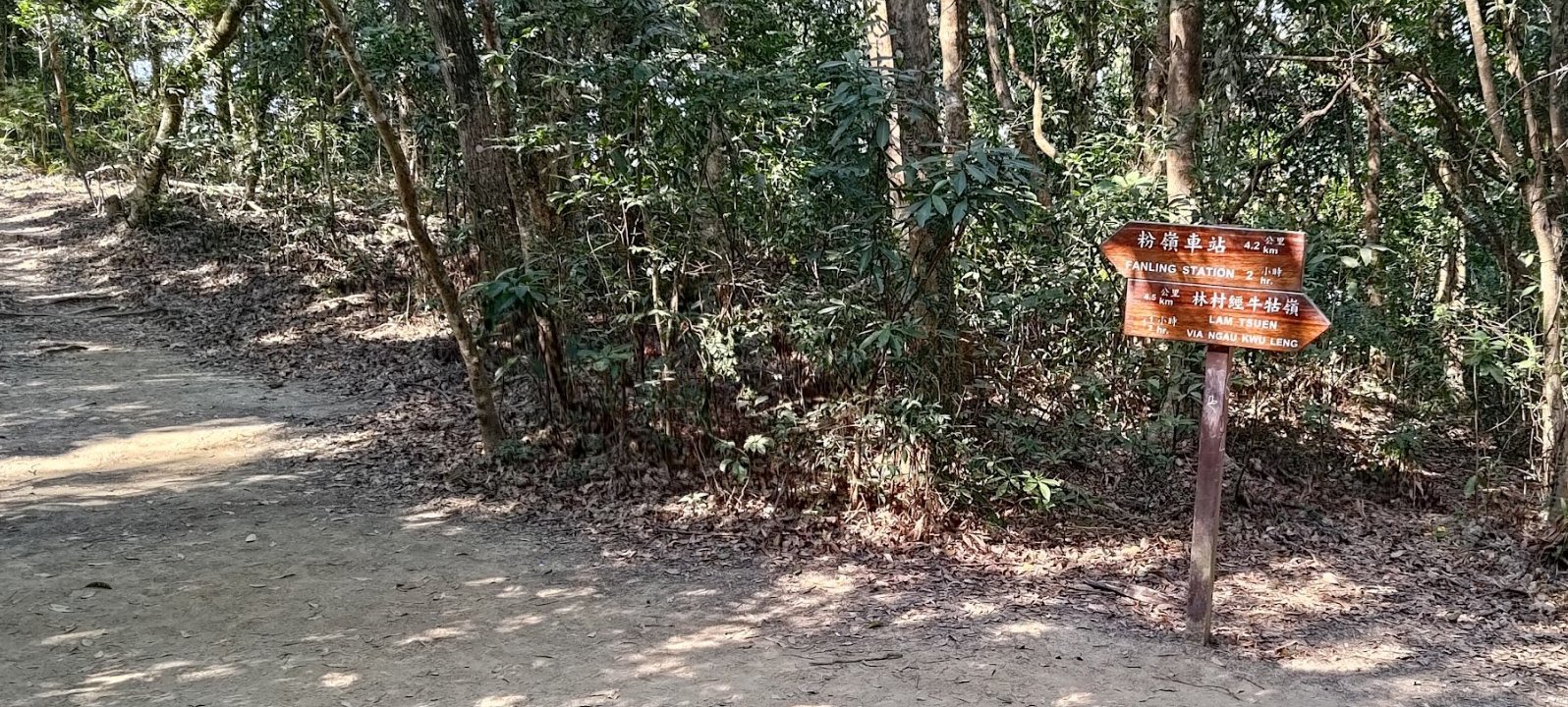

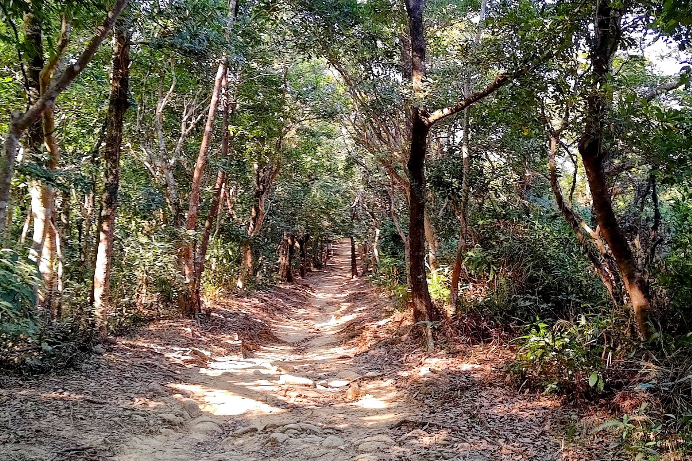
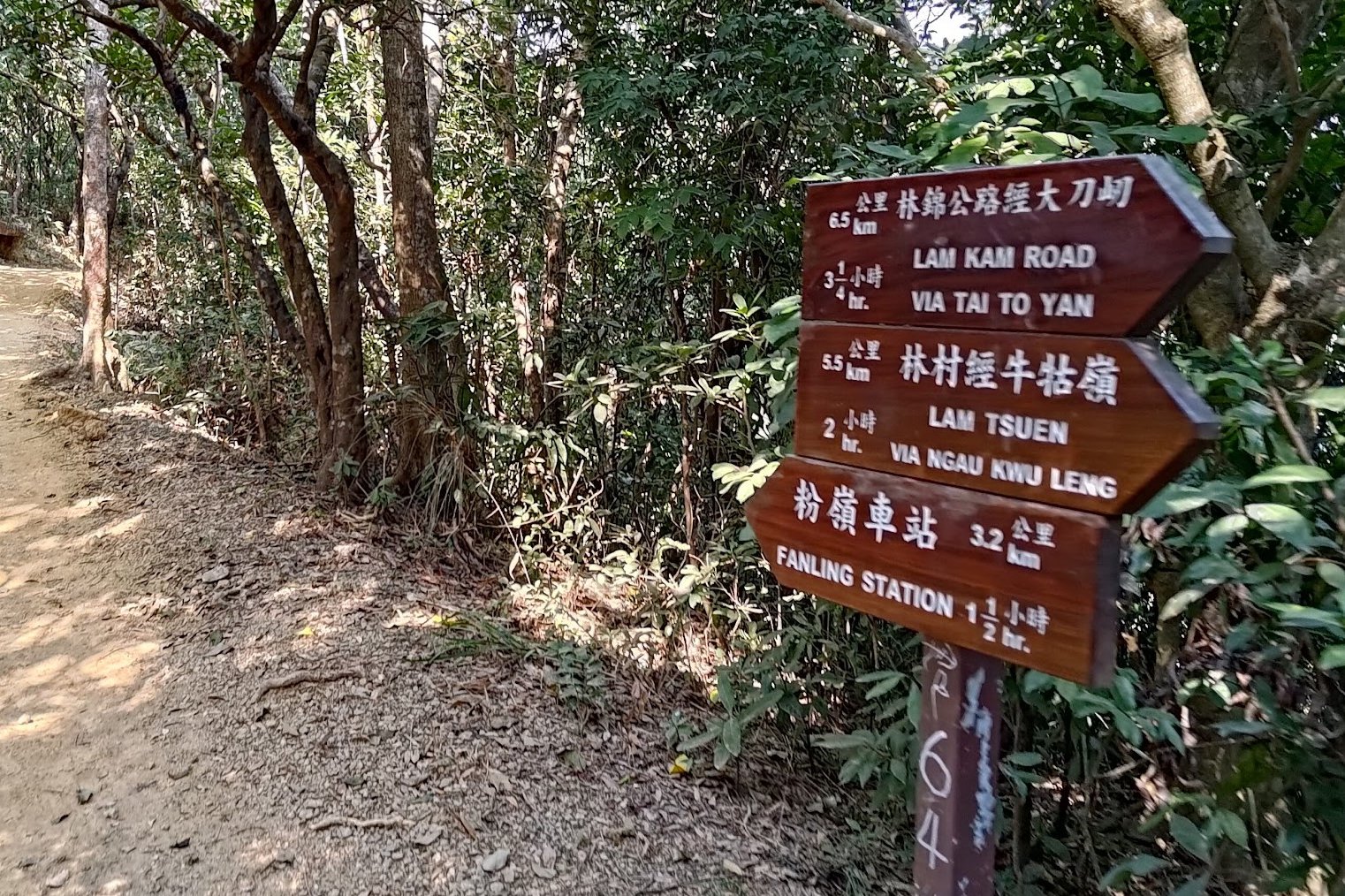
This section took about 20 minutes. It was filled with natural trails and mostly downhill sections. There are a few splits in the trail, so pay attention for signs pointing to Fanling, or else you're going to be going on a totally different adventure!
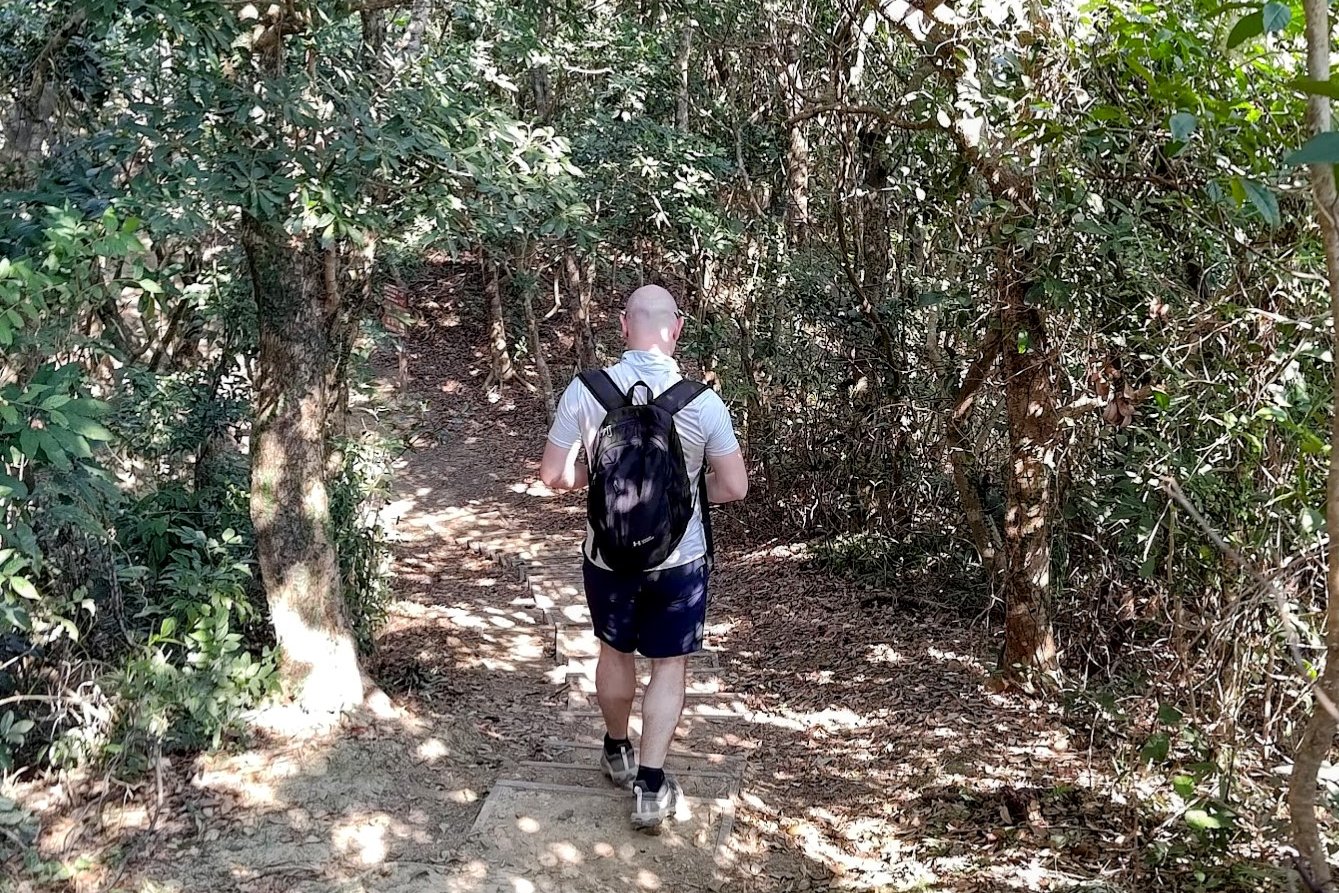
A Sprinkling of Disappointment: The Entire Rest of the Trail is Concrete
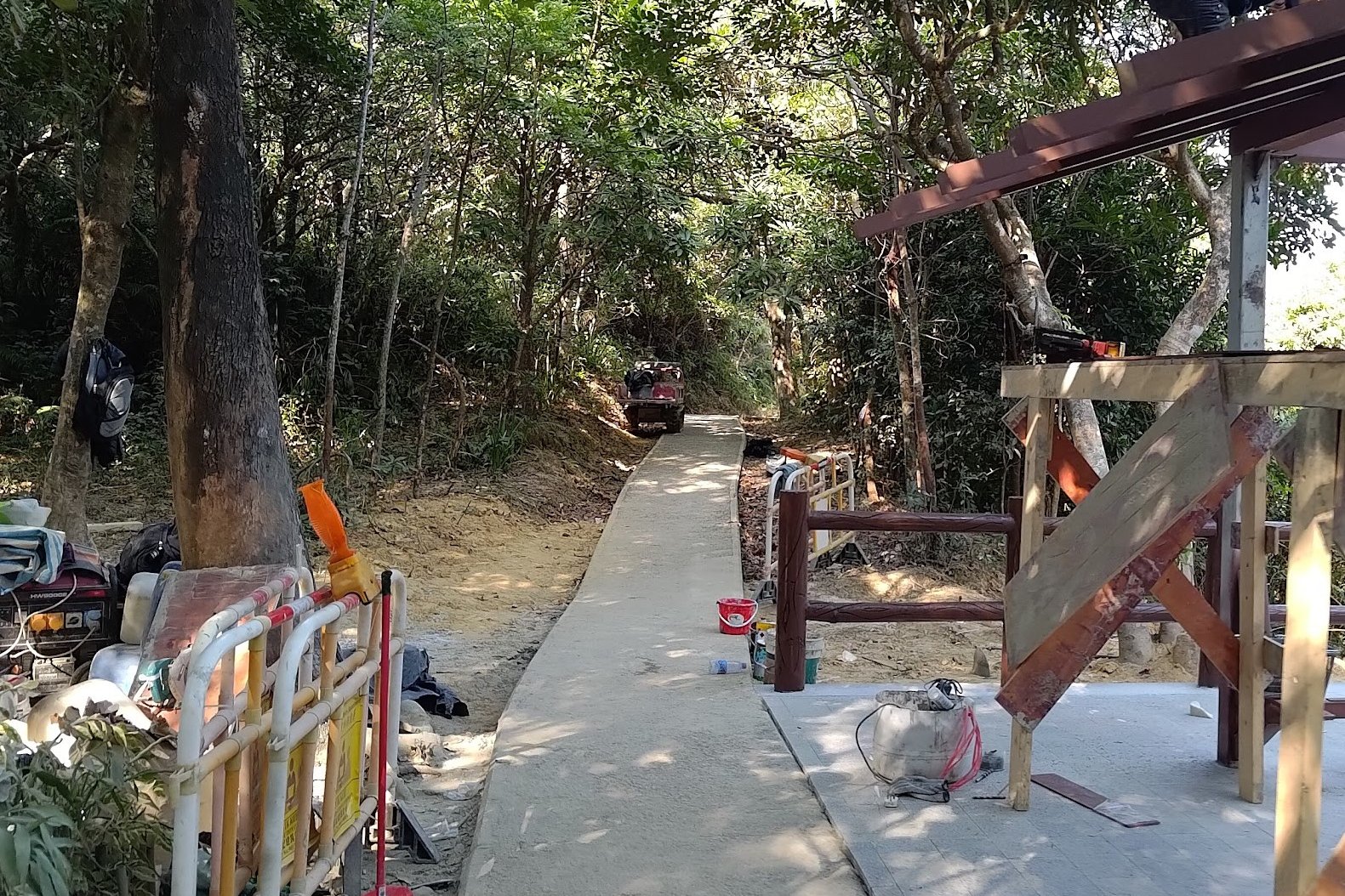
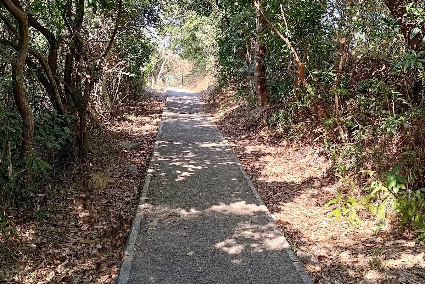
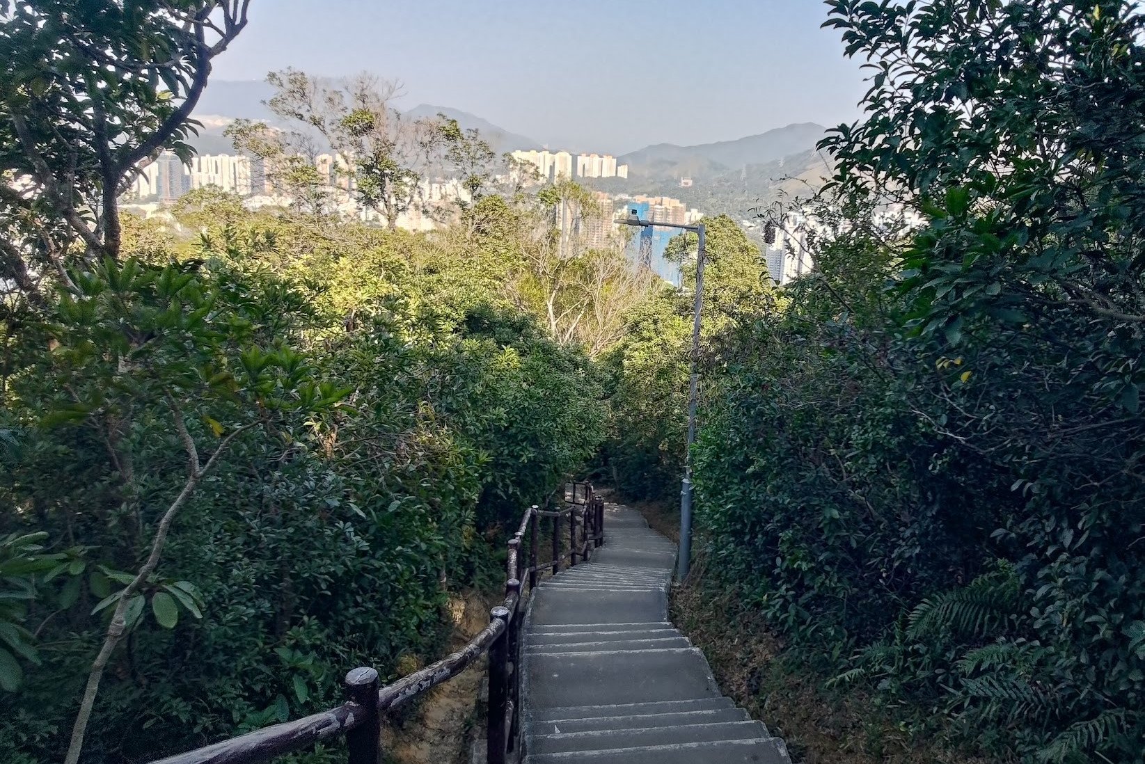
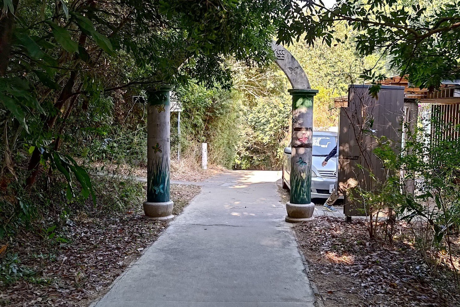

This was by far the worst part of the whole hike. As soon as the trail turned into concrete, the feeling of being lost in nature was gone. Worse still, this part of the descent took about 40 minutes!
It was tragic to see so many amazing areas where instead of having wonderful dirt trails (like for the rest of the hike), the entire walking area had been overlaid with concrete.
Anyway, you'll basically want to follow the concrete the whole way. There are plenty of signs pointing you to Fanling. Make sure to keep following them and you'll eventually come to the end of a concrete road.
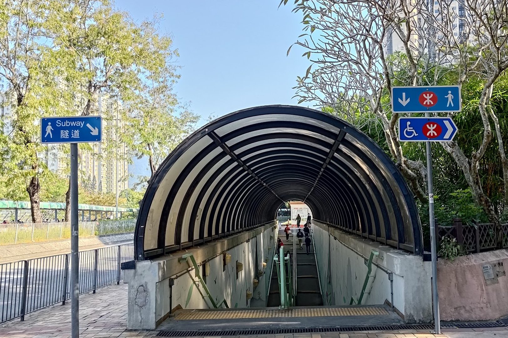
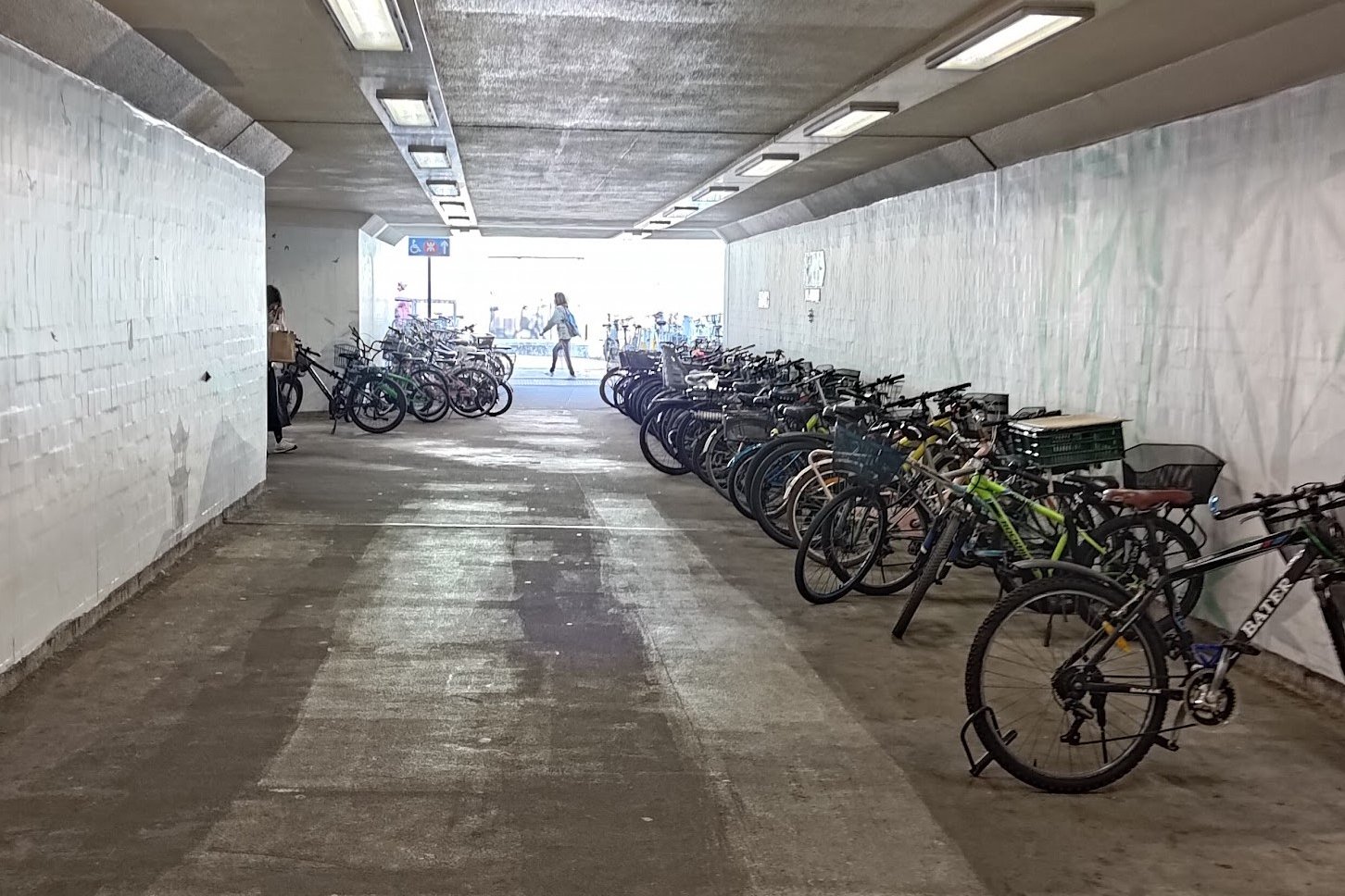
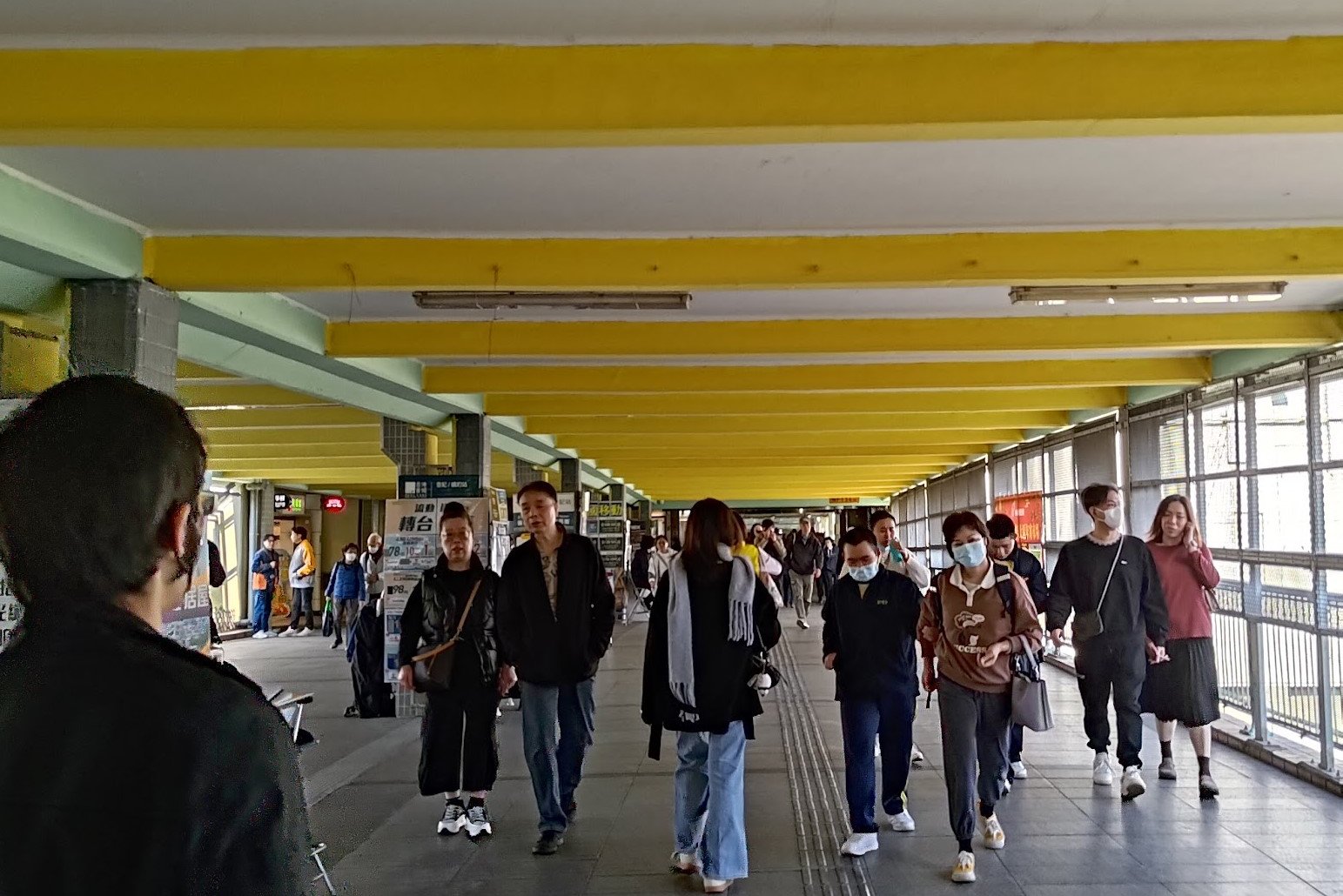
From there, you're basically at Fanling MTR Station!
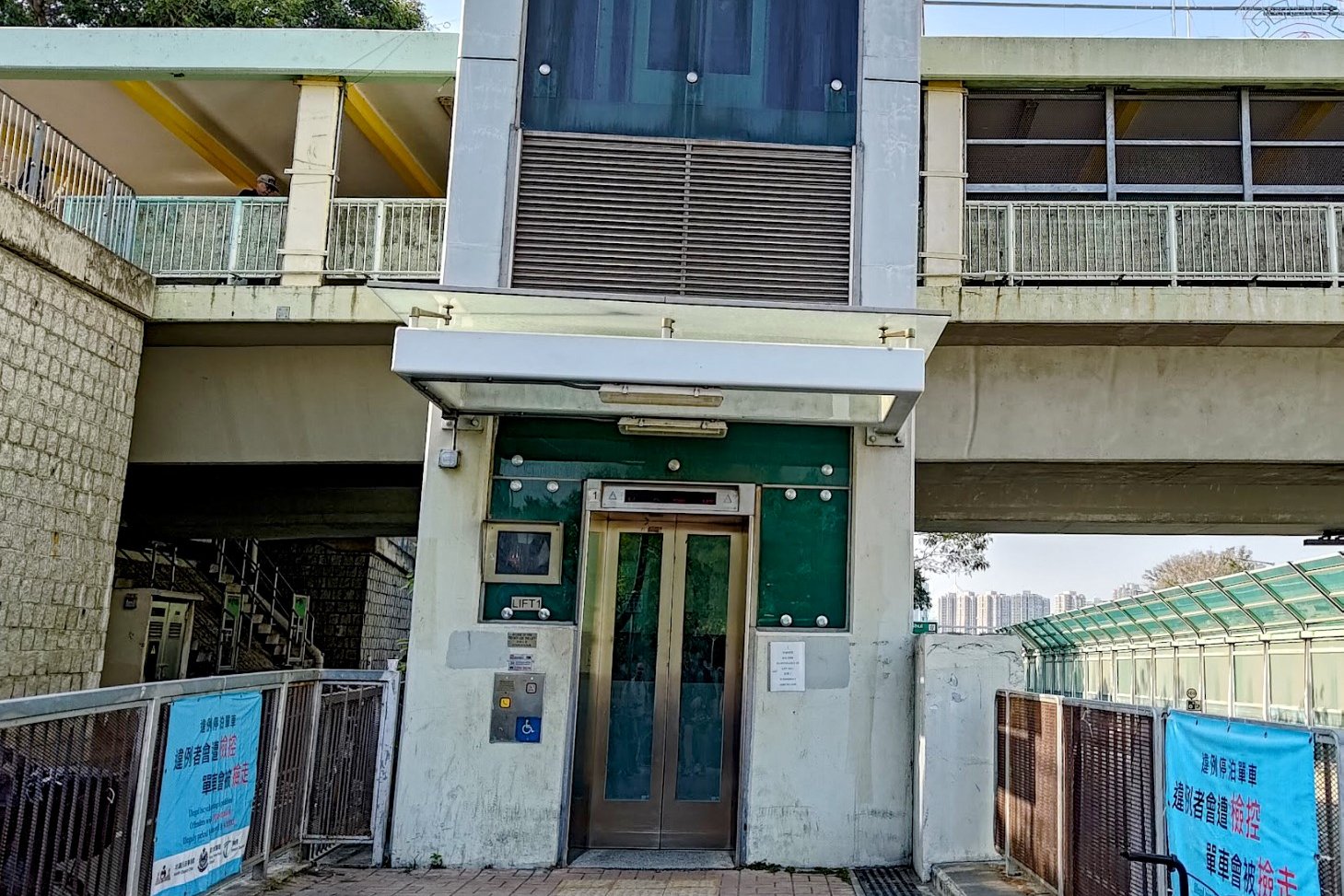
Getting Back
From Fanling MTR (the end point of the hike), you can get basically anywhere in the city.

