
Po Toi Hike: Exploring Hong Kong's Southernmost Pirate Island
Contents
- Essential Information
- Hike Highlights
- Google Route Map and GPX File
- How to Get to Po Toi Island from Aberdeen
- How to Get to Po Toi Island from Stanley
- Quick Route Summary
- The Ferry Journey to Po Toi
- Abandoned School, Tai Wan Beach, and Tin Hau Temple
- Route 3 Climb to the Pavilion
- The Climb Down to Nam Kok Tsui Lighthouse
- Nam Kok Tsui, Most Southern Part of HK (Optional)
- Palm Rock and Ancient Rock Carvings
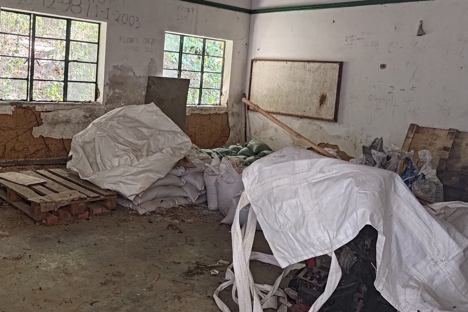
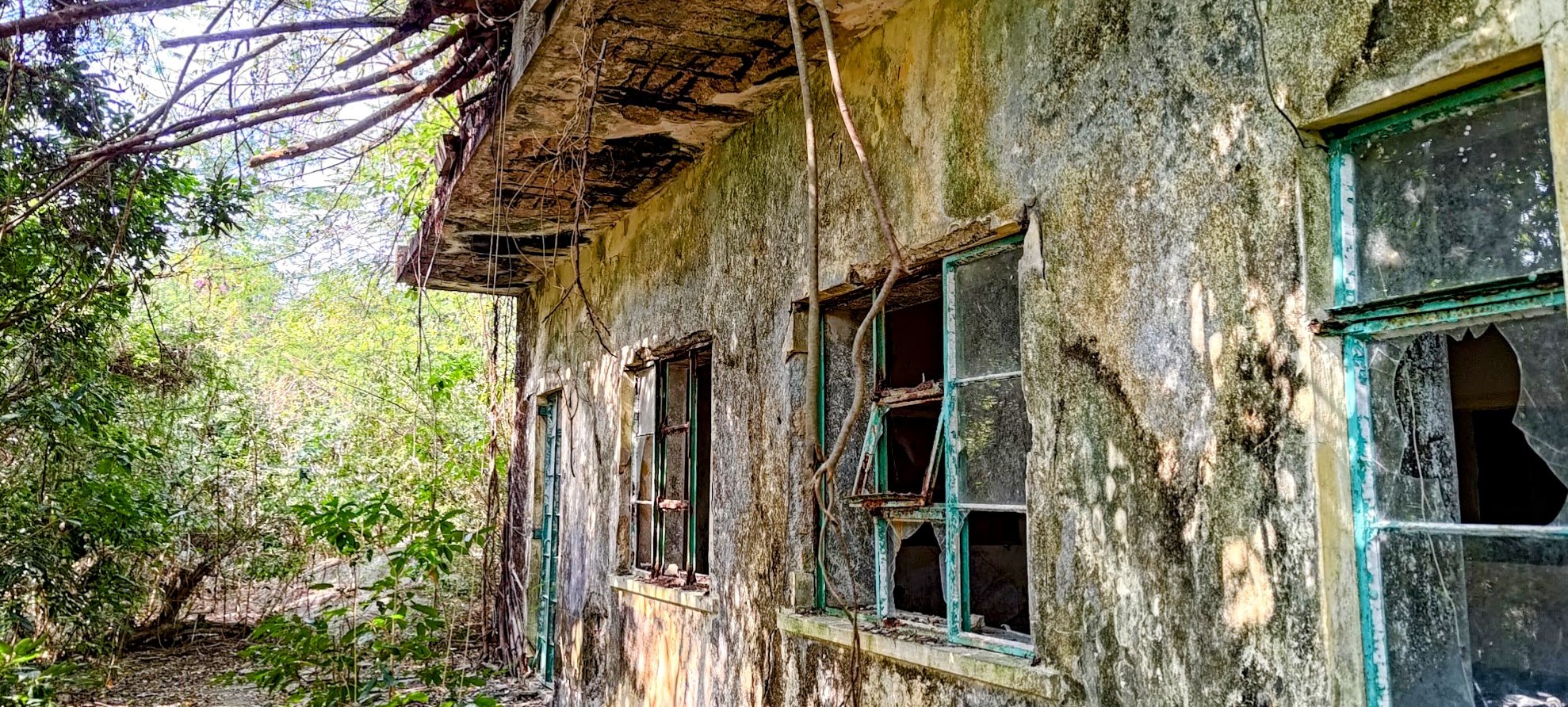
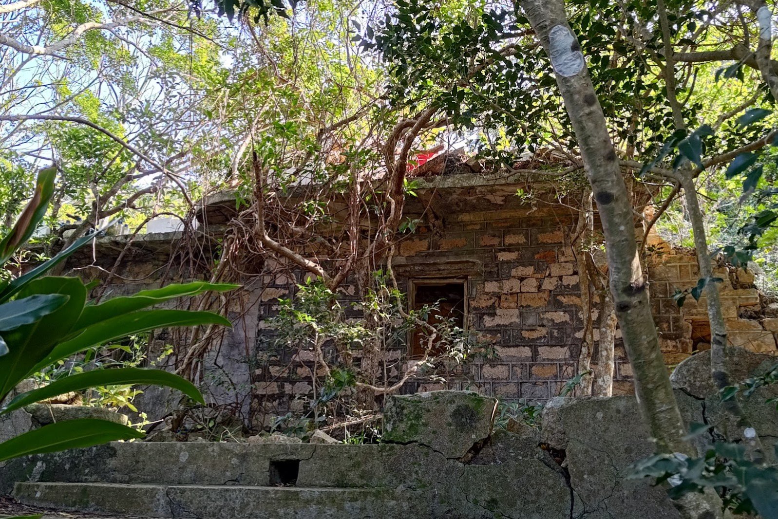
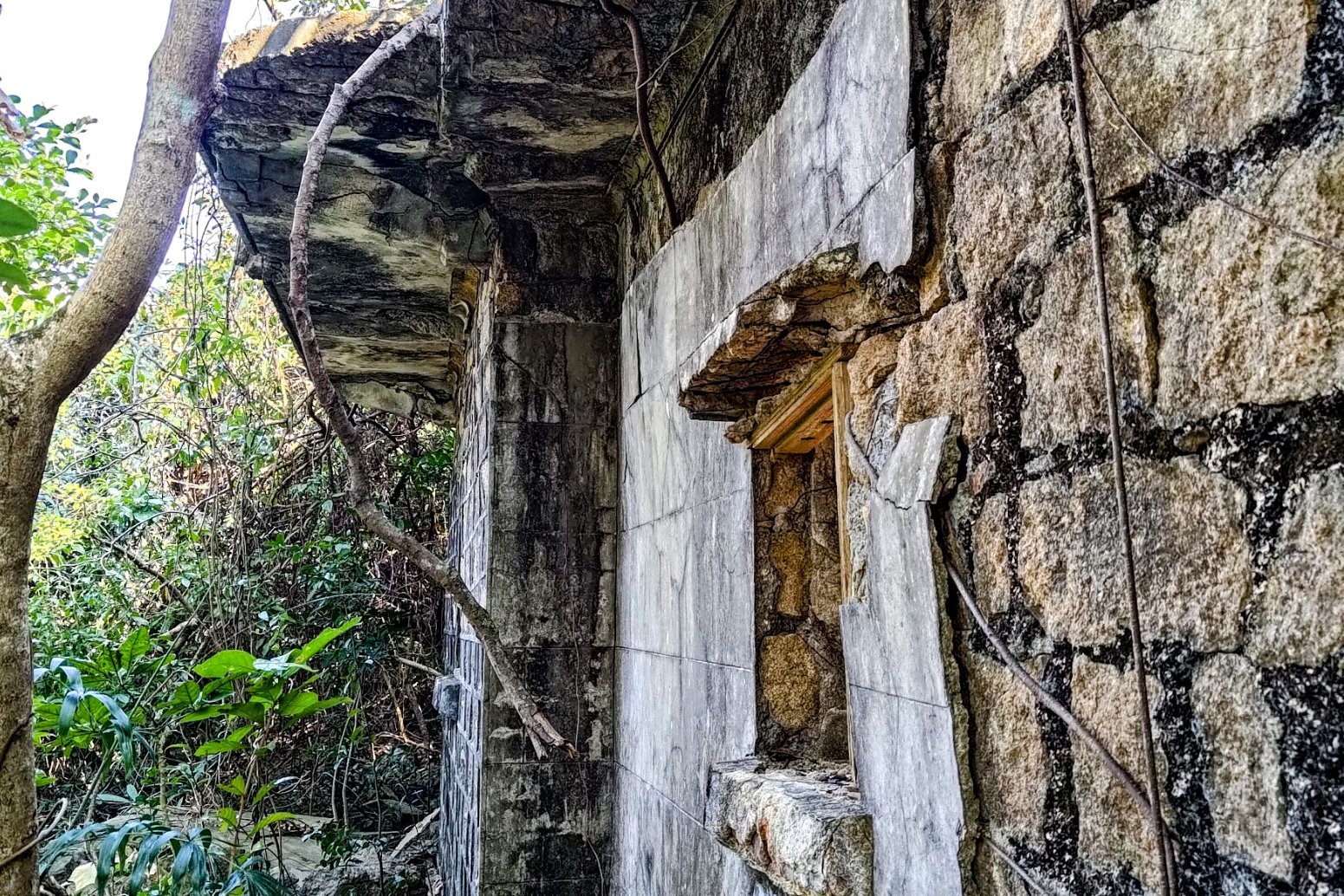
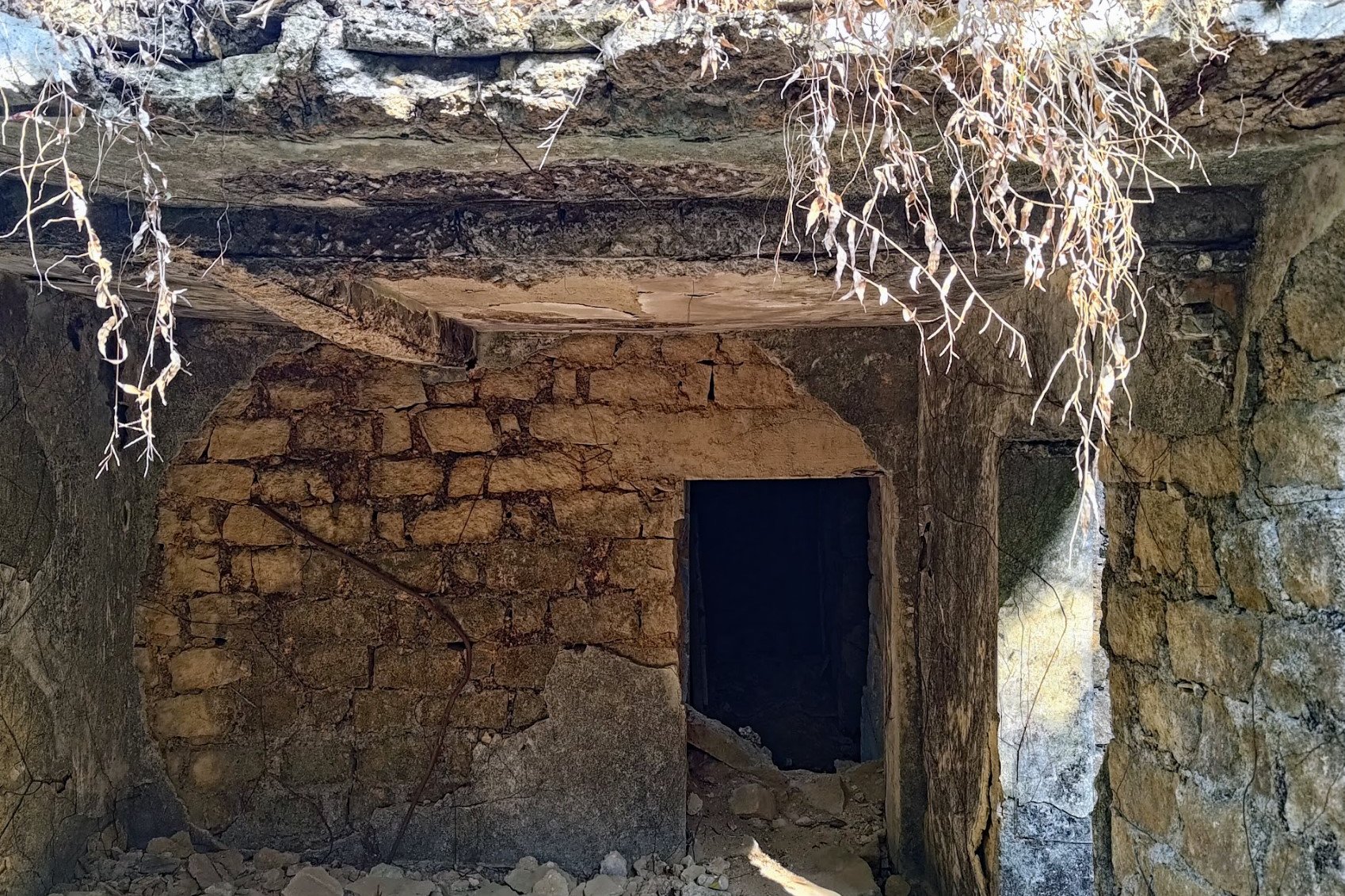
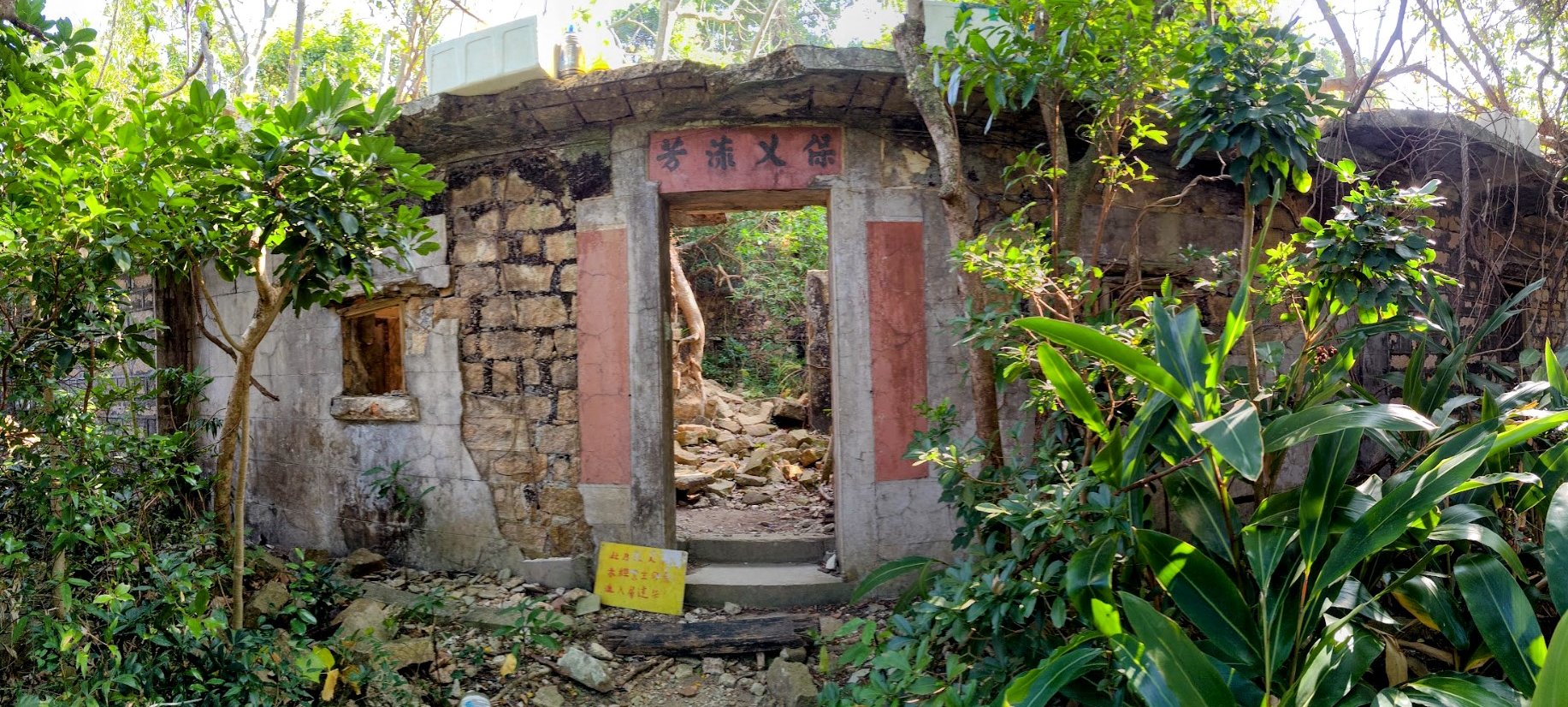
- Mo's Haunted Manor (Optional)
- Getting to the Pier
- Getting Back
Essential Po Toi Hike Details
- District: New Territories
- Duration: 3 hours (for Route No. 3, which is the toughest route on the island)
- Distance: 8 km
- Highest Elevation: 150ish meters
- Difficulty: 3/5
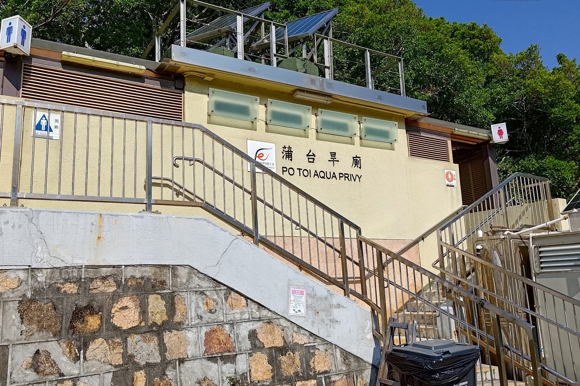
- Facilities: There’s a public toilet where you get off the ferry and some shops to buy drinks
Why Hike Po Toi?
Po Toi is Hong Kong’s southernmost island but is still surprisingly simple to access. Take a ferry from Aberdeen or Stanley, and you’ll arrive in an hour or 30 minutes, respectively. For those not living on Hong Kong Island, the journey out to Po Toi is a solid time investment, but it’s totally worth it!
The island is steeped in folklore and mystery with plenty of incredible scenic and historic spots to check out. All the best spots can be visited via three hiking routes on the island, aptly named Route No. 1, Route No. 2 and Route No. 3.
This hiking guide will follow Route No. 3 (the most rugged and long route), but also includes parts of Route No. 1 and all of Route No. 2 (which is the easiest route with almost zero climbing involved).
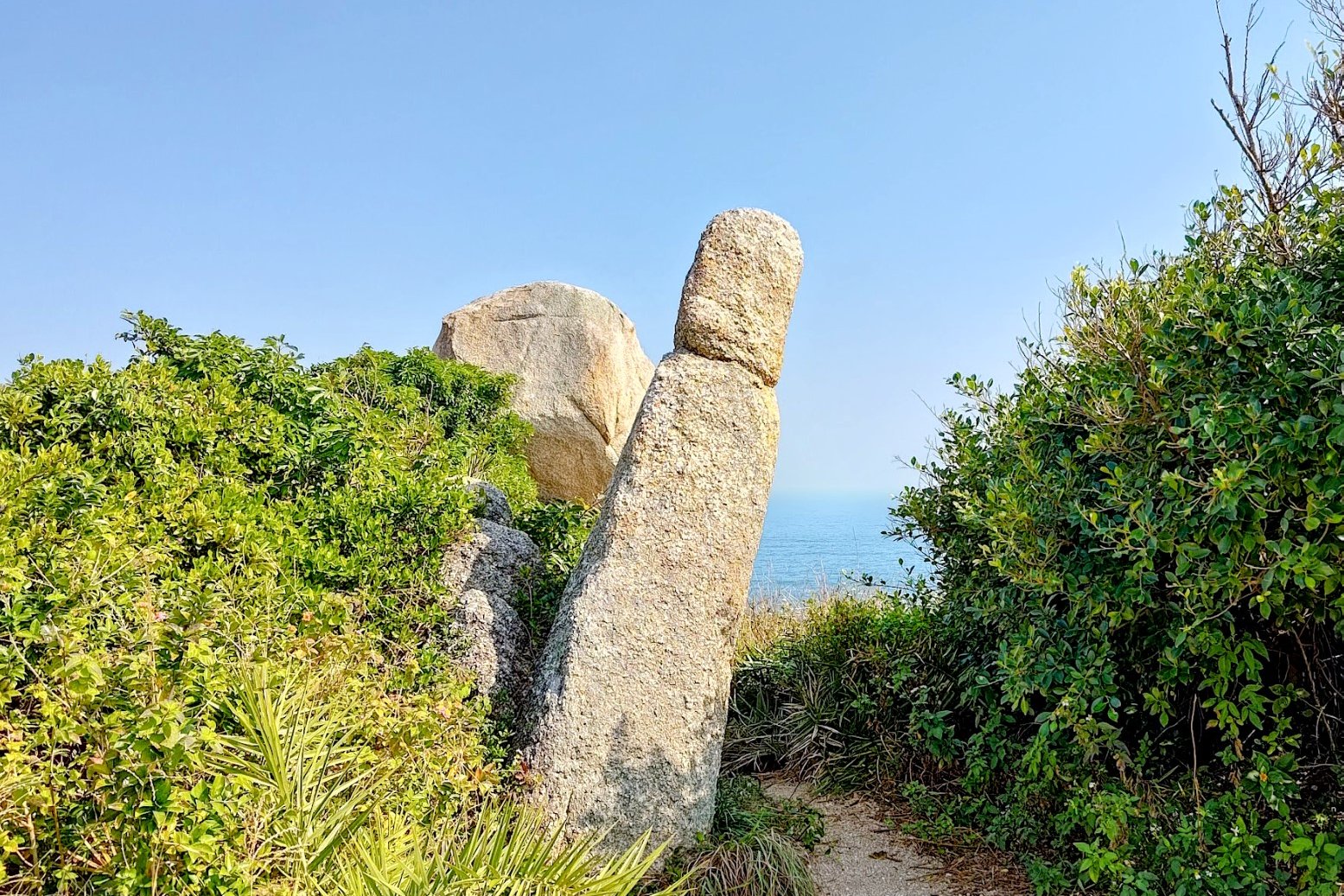
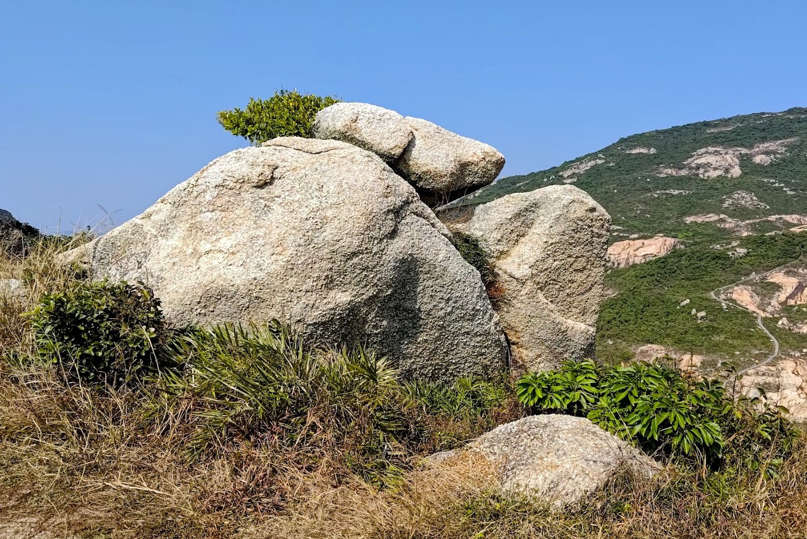
Some of the island’s main highlights include the beautiful Tin Hau Temple, a bronze-age rock carving that’s some 3,000 years old, a haunted mansion that’s being swallowed up by nature, epic cliff scenery, coastal views that make you feel you must be thousands of miles away from Hong Kong, and even some rocks that look like things…I did not explain that well. Basically, there’s a rock that looks like a snail, one that looks like a monk and another one that looks like a palm.
Po Toi was once also known to be a hotbed for piracy as it was once inhabited by over 1,000 villagers, including a wealthy bean curd magnate named Mo. These days, the pirates have completely vanished and there are just 100 villagers left. Most villagers moved out in favor of a more convenient city life since the island isn’t serviced by Hong Kong’s electrical grid and relies on on-site generators instead.
* There were a lot of spiders in summer. If you're an arachnophobe, visit in winter.
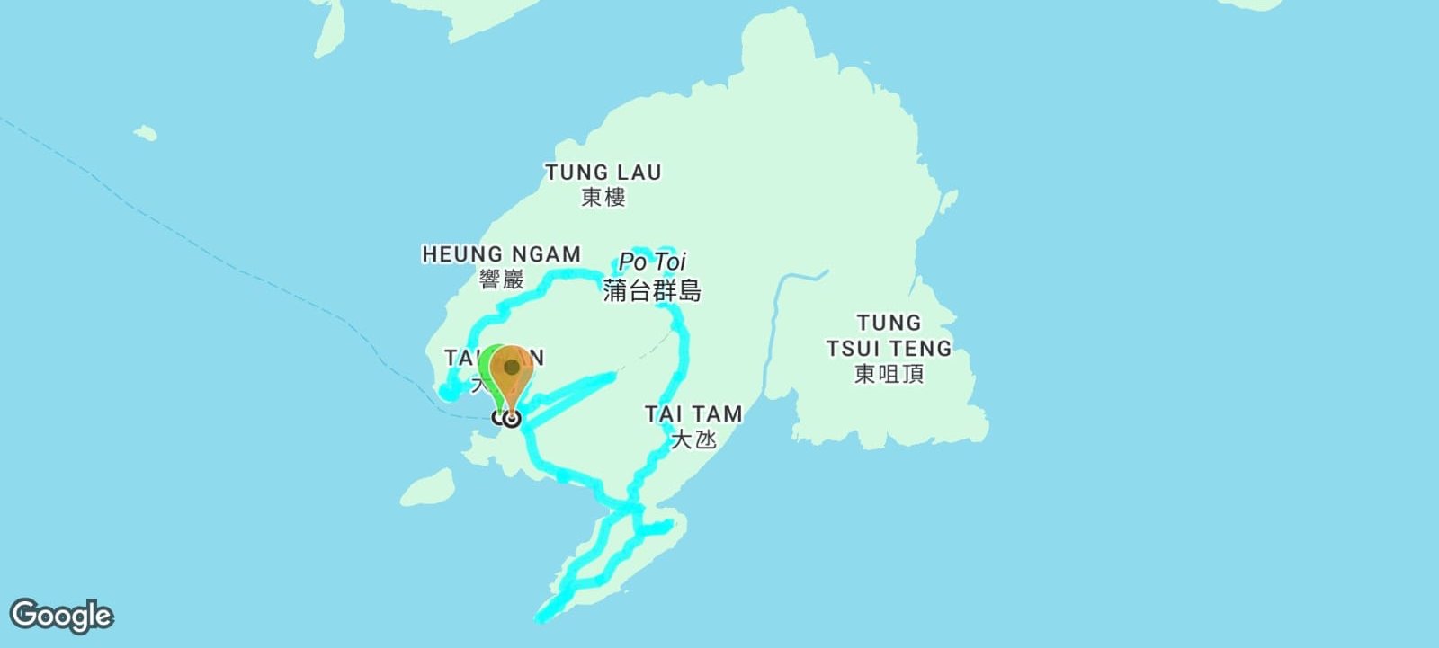
Google Route Map and GPX File
*Click the box icon in the top right of the map below to load the blue route directly into your own Google Maps. You can then see your location relative to the trail in real time!
How to Get to Po Toi Island from Aberdeen

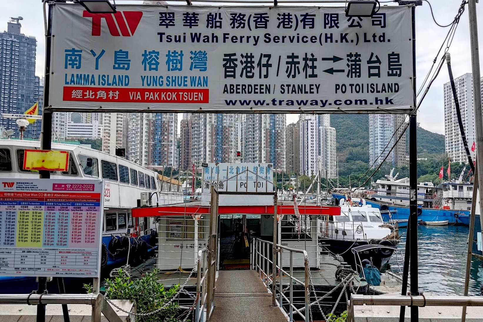
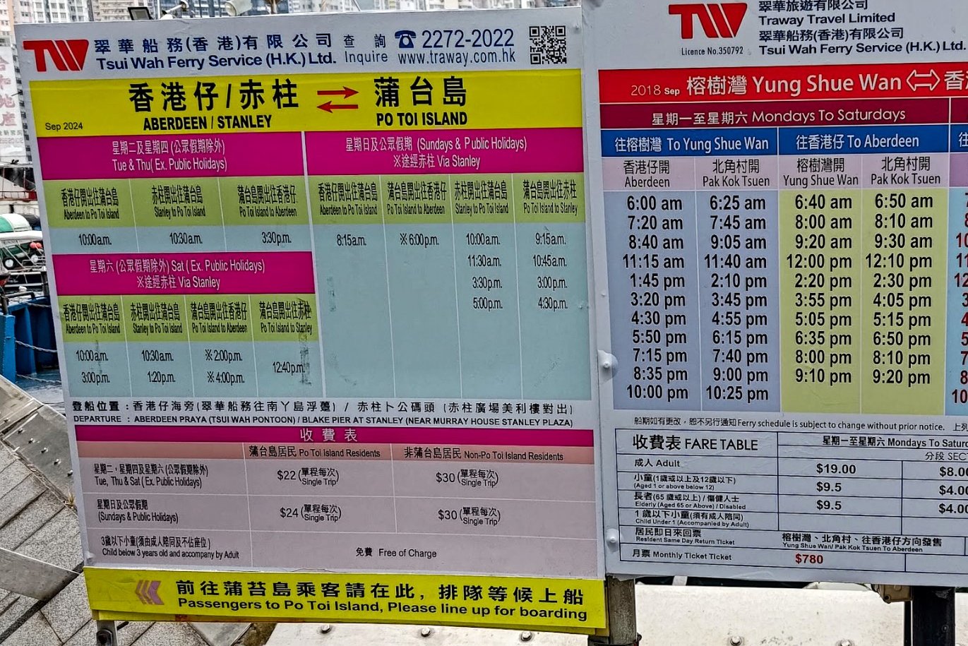
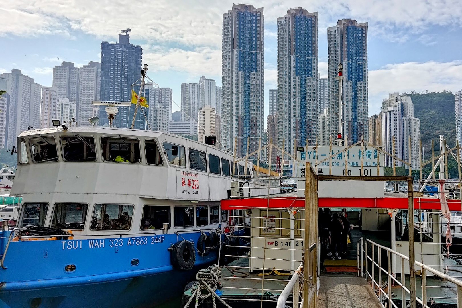

You can take the ferry to Po Toi from Aberdeen Waterfront at the Tsui Wah Pier or from Blake Pier in Stanley.
You can find the Aberdeen ferry schedule here. It takes about an hour to reach Po Toi from Aberdeen.
The cost for the ferry is 30HKD one way
To get to the Aberdeen Tsui Wah Pier, you can do any of the following:
By MTR
Take the MTR to Wong Chuk Hang MTR Station (Exit B) and walk along Heung Yip Road. Connect to Aberdeen Praya Road and you'll be able to access the waterfront and the pier. It should take just under 10 mins.
By Bus
There are quite a lot of buses that go to the Aberdeen waterfront. I will list at least one route from each major district and you can use the picture above to find one that suits better if none of these are convenient. Get off at the Aberdeen Promenade Stop.
Kowloon
973 Citybus - Goes past Tsim Sha Tsui, Jordan, Kowloon Station, West Kowloon, Sheung Wan, HKU, Pok Fu Lam
107 KMB Bus - Goes past Kowloon Bay, Choi Hung, San Po Kong, Kai Tak, Sun Wong Toi, To Kwa Wan, Ho Man Tin, Hung Hom, Causeway Bay, Ocean Park, Wong Chuk Hang
New Territories
170 KMB Bus - Goes past Shatin, Tai Wai, Kowloon Tong, Ho Man Tin, Hung Hom, Causeway Bay, Wong Chuk Hang
HK Island
38 Citybus - Goes past North Point, Fortress Hill, Tin Hau, Causeway Bay, Ocean Park, Wong Chuk Hang
77 Citybus - Goes past Shau Kei Wan, Sai Wan Ho, Tai Koo, Quarry Bay, North Point, Fortress Hill, Tin Hau, Causeway Bay, Ocean Park, Wong Chuk Hang
71 Citybus - Goes past Central, Sheung Wan, Sai Ying Pun, HKU, Pok Fu Lam
Lantau
By Taxi
You can show this to the Taxi Driver: 香港仔碼頭
How to Get to Po Toi Island from Stanley
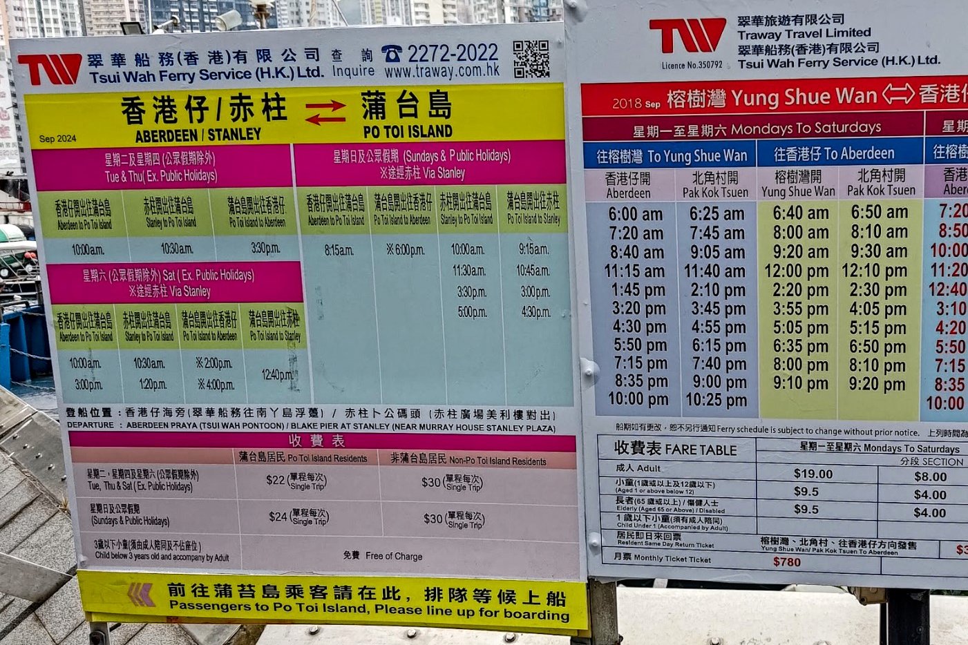
The ferry to Po Toi from Stanley departs from Blake Pier. You will have to take a bus or taxi to Stanley because there is no MTR line that services this part of Hong Kong.
You can find the ferry schedule here. It takes about 30 mins to reach Po Toi from Stanley.
The cost for the ferry is 30HKD one way.
By Bus
- 14 - Goes past Sai Wan Ho, Shau Kei Wan, Chai Wan and Tai Tam
- 6A - Goes past Central, Admiralty, Wan Chai, Ocean Park, Repulse Bay
- 6 - Goes past Hong Kong Station, Central, Admiralty, Wan Chai, Wong Nai Chung Gap, Repulse Bay
- 260 - Goes past Central, Admiralty, Wan Chai, Ocean Park, Repulse Bay
- 6X - Goes past Central, Admiralty, Wan Chai, Ocean Park, Repulse Bay
- 973 - Goes past Tsim Sha Tsui, Jordan, Kowloon Station, West Kowloon, Sheung Wan, HKU, Pok Fu Lam, Aberdeen, Wong Chuk Hang, Ocean Park, Repulse Bay
- Green minibus number 40 - Causeway Bay, Ocean Park, Repulse Bay
Make sure to get off as close to Stanley Plaza as you can.
By Taxi
You can show the following to the taxi driver and they'll get you as close to Blake Pier as possible: 赤柱卜公碼頭

Quick Po Toi Hike Summary
- After getting off the ferry, head left until you reach the abandoned Po Toi School building
- After exploring, continue along the same left path until you reach Tai Wan Beach. There is a public toilet and a few restaurants here
- Follow the coastal path until you arrive at the Tin Hau Temple (Conch Rock is beside the temple)
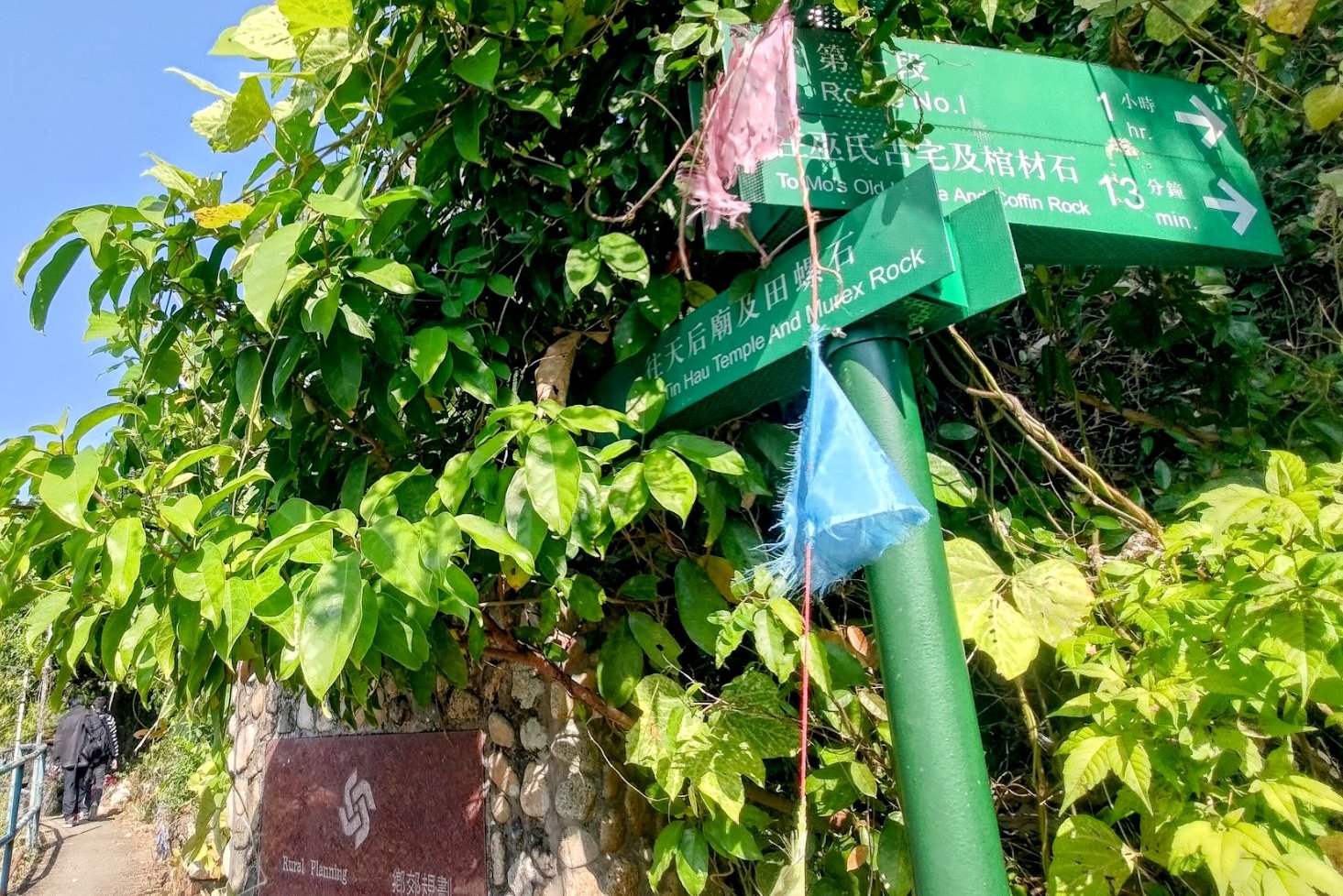
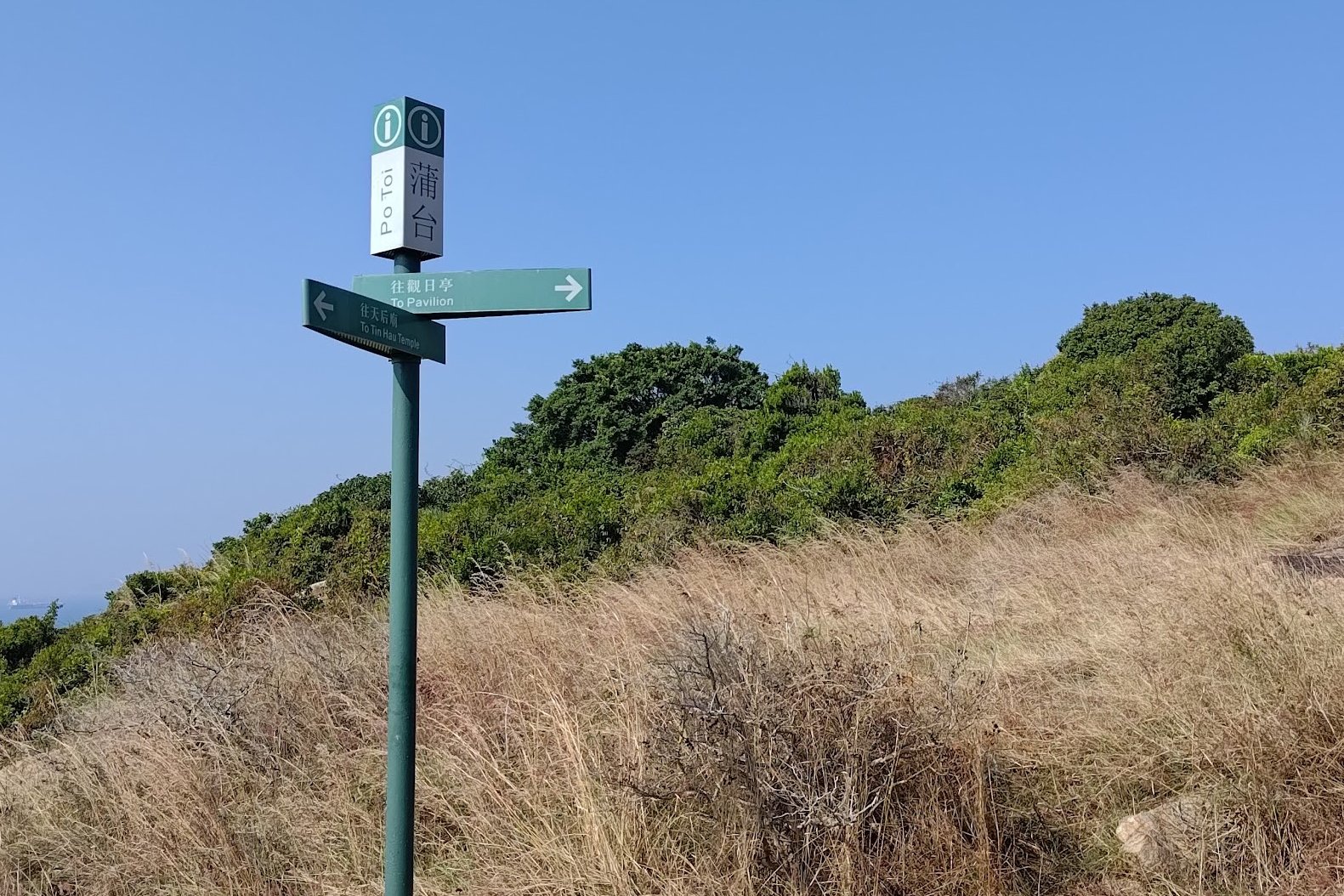
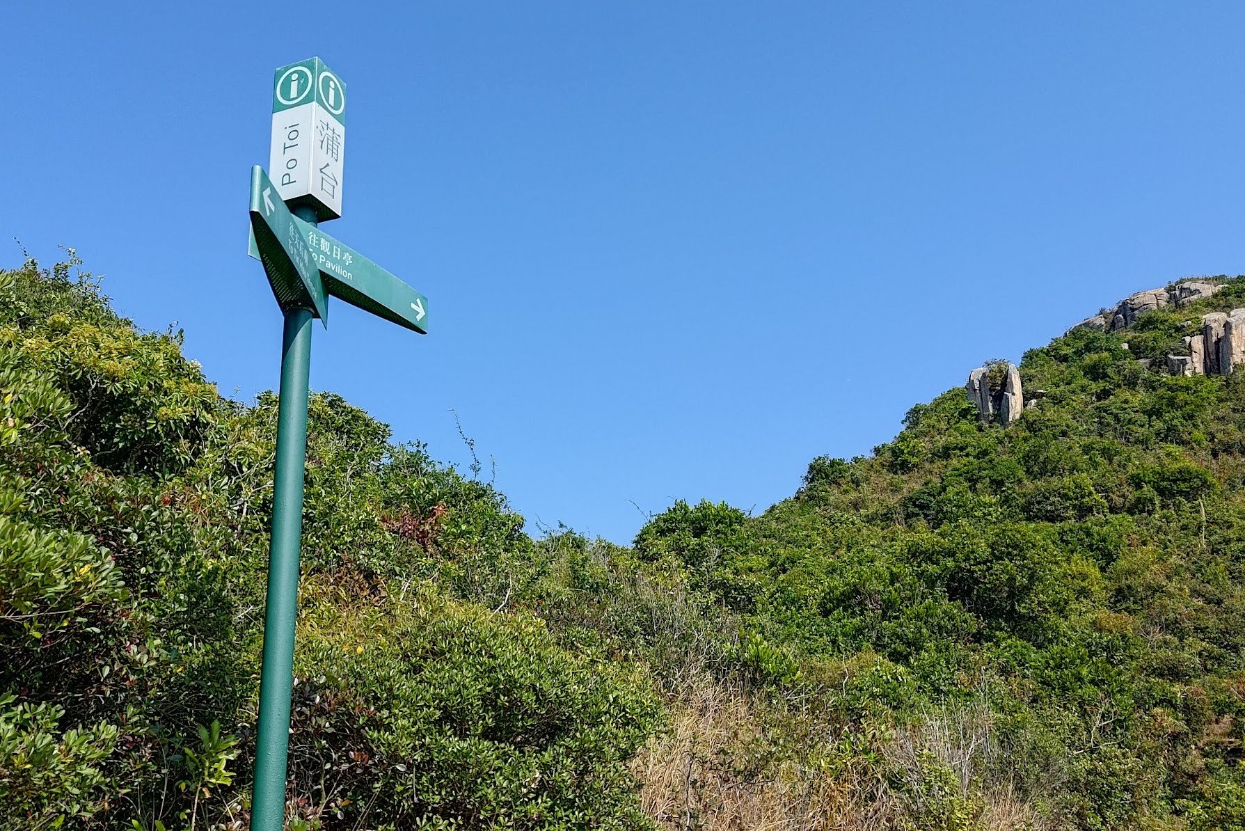
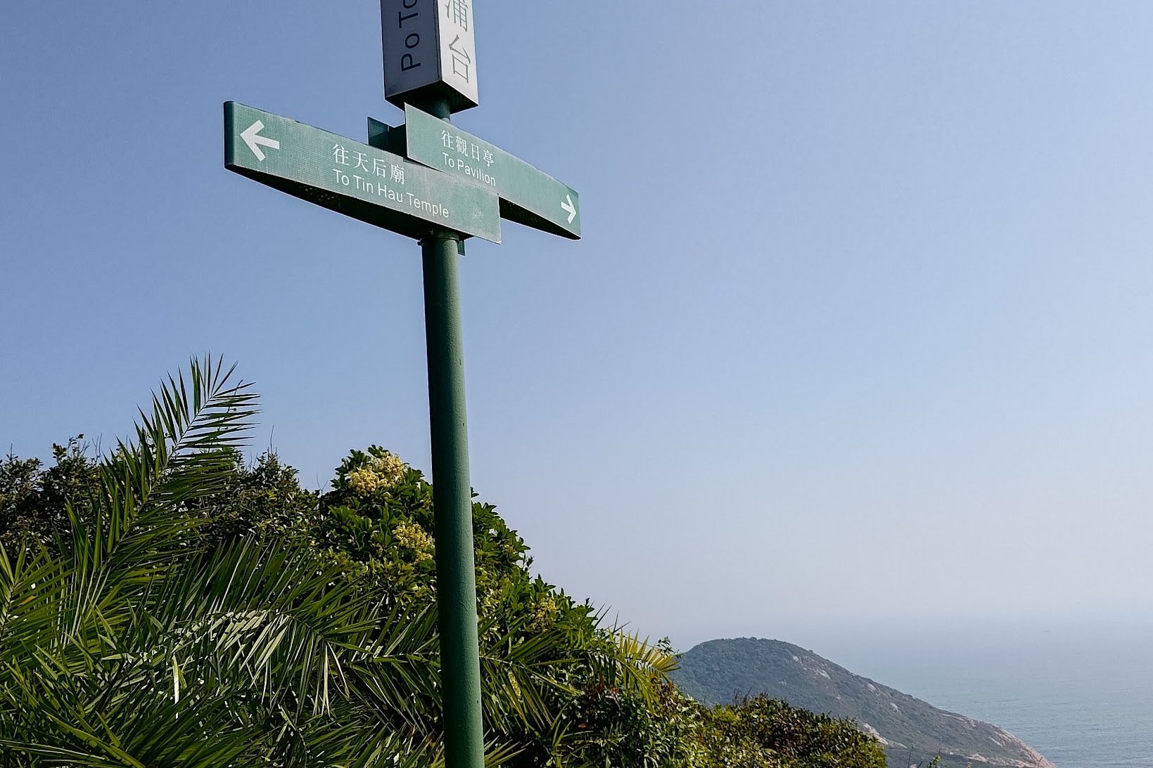
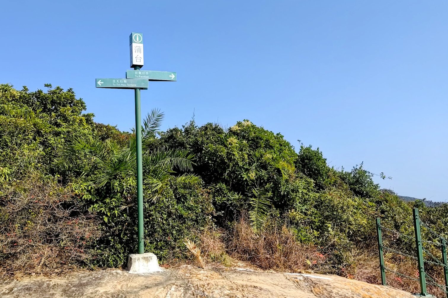
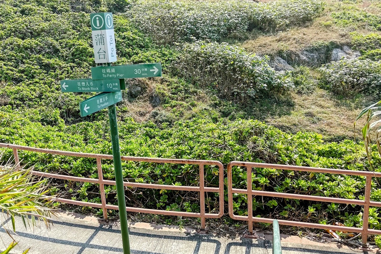
- Beside the temple, look for a green sign pointing the way to Route No. 3
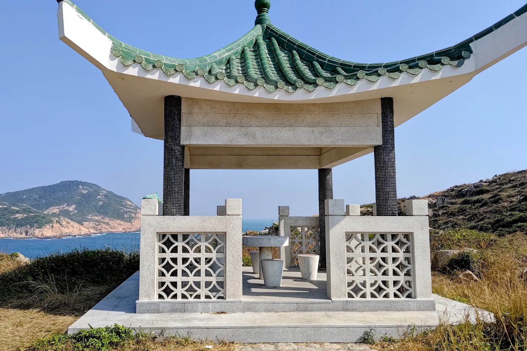
- From here on out, you’ll be looking for green signs that say “To Pavilion”. They appear at regular intervals along your climb
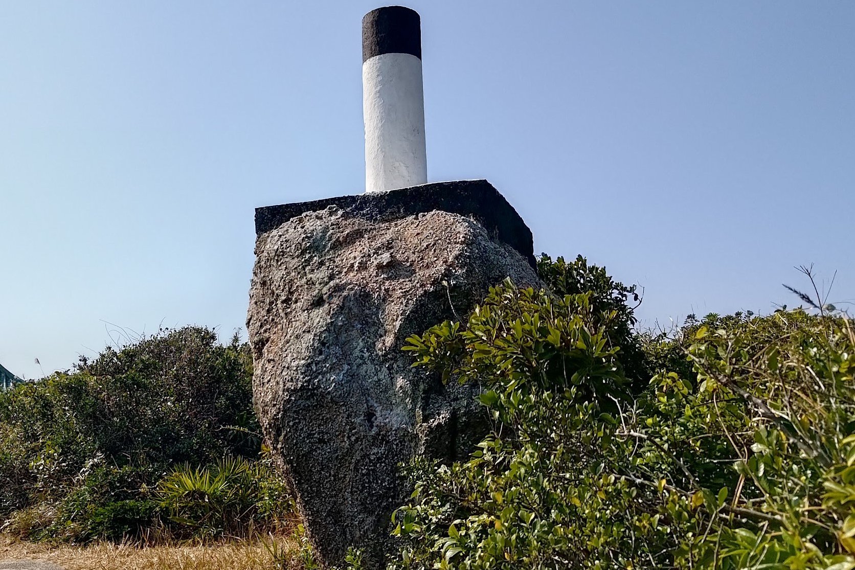
- Before reaching the pavilion, you’ll come across a black and white trigonometrical station
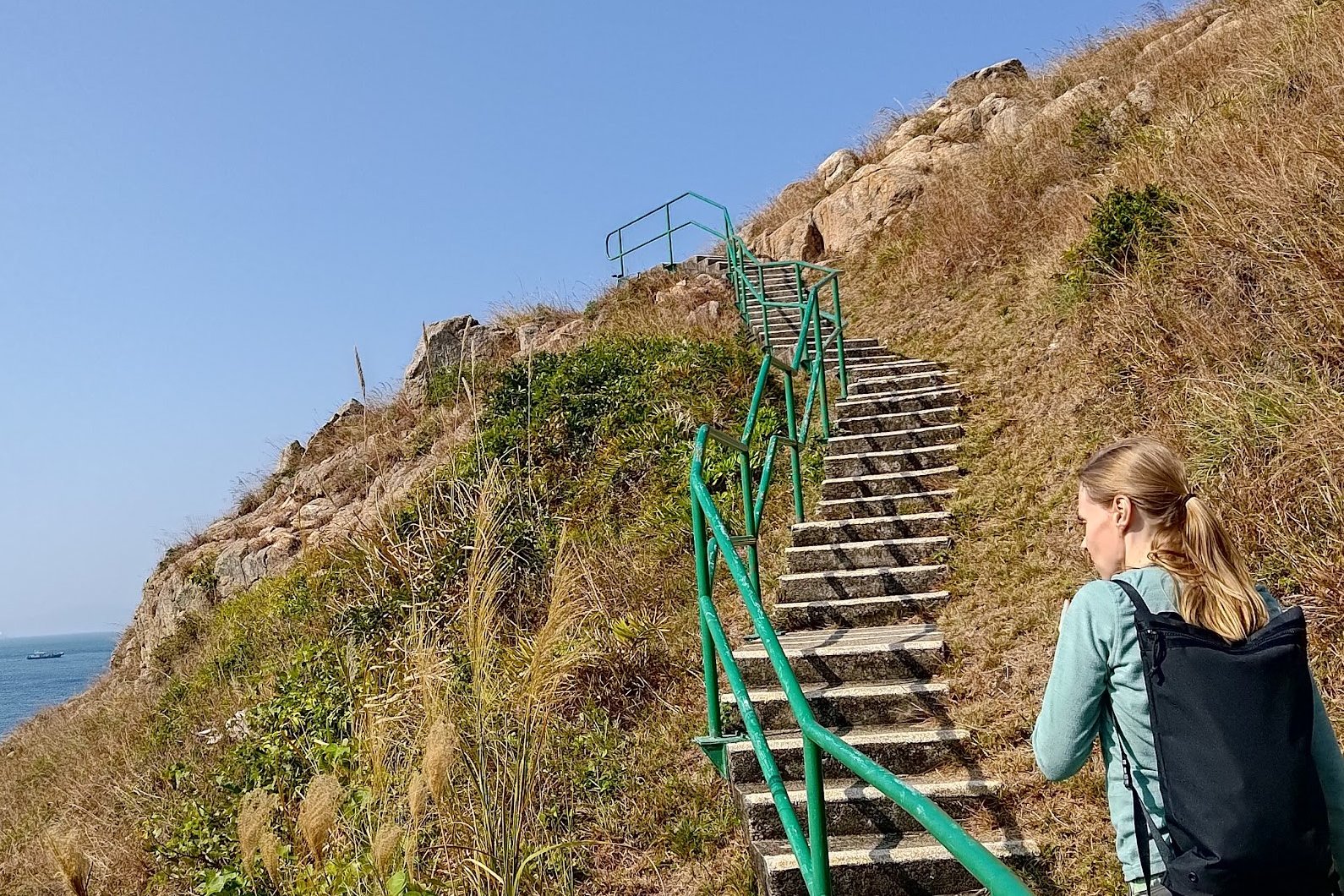
- From the pavilion, you’ll want to take the stairs all the way down to Ngong Chong (that little jutting out section of the island)
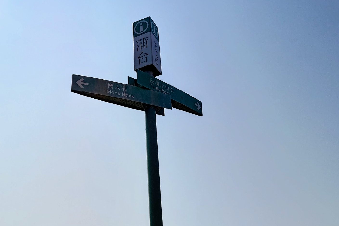
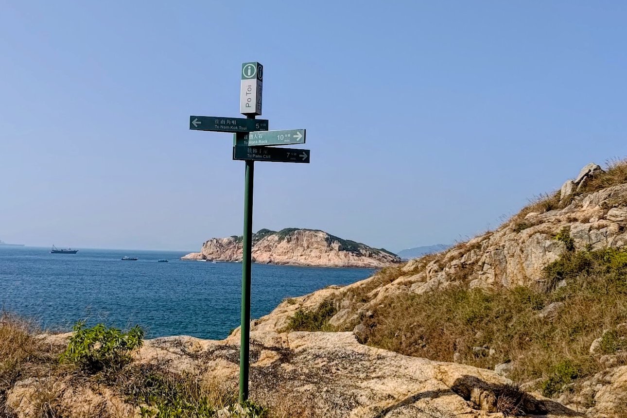
- At the bottom of the stairs follow the sign left that says “To Monk Rock”
- Follow the flat concrete trail and take the stairs up to the little green pavilion
- At the top of the stairs, you will see signs for “Monk Rock” and “Turtle Rock”
- Just ahead is the lighthouse, after which you will take a set of stairs back down
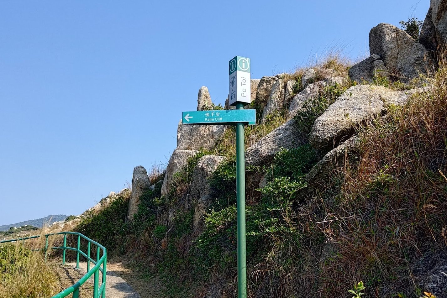
- At the bottom of the stairs, explore Nam Kok Tsui (cliffs) if you like. When you’re done, follow the sign pointing to “Palm Cliff”
- A few minutes later, you’ll arrive at Palm Cliff
- Keep following the concrete path past a little beach and then up a small flight of stairs marked by pink railings
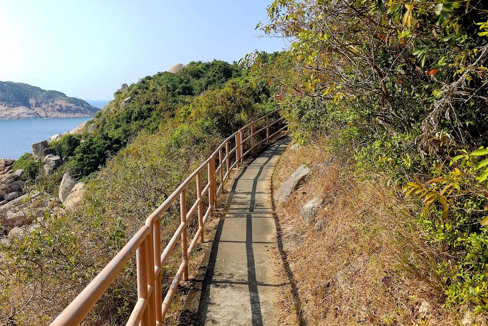
- Go left at the pink railings and follow the flat path along the coast
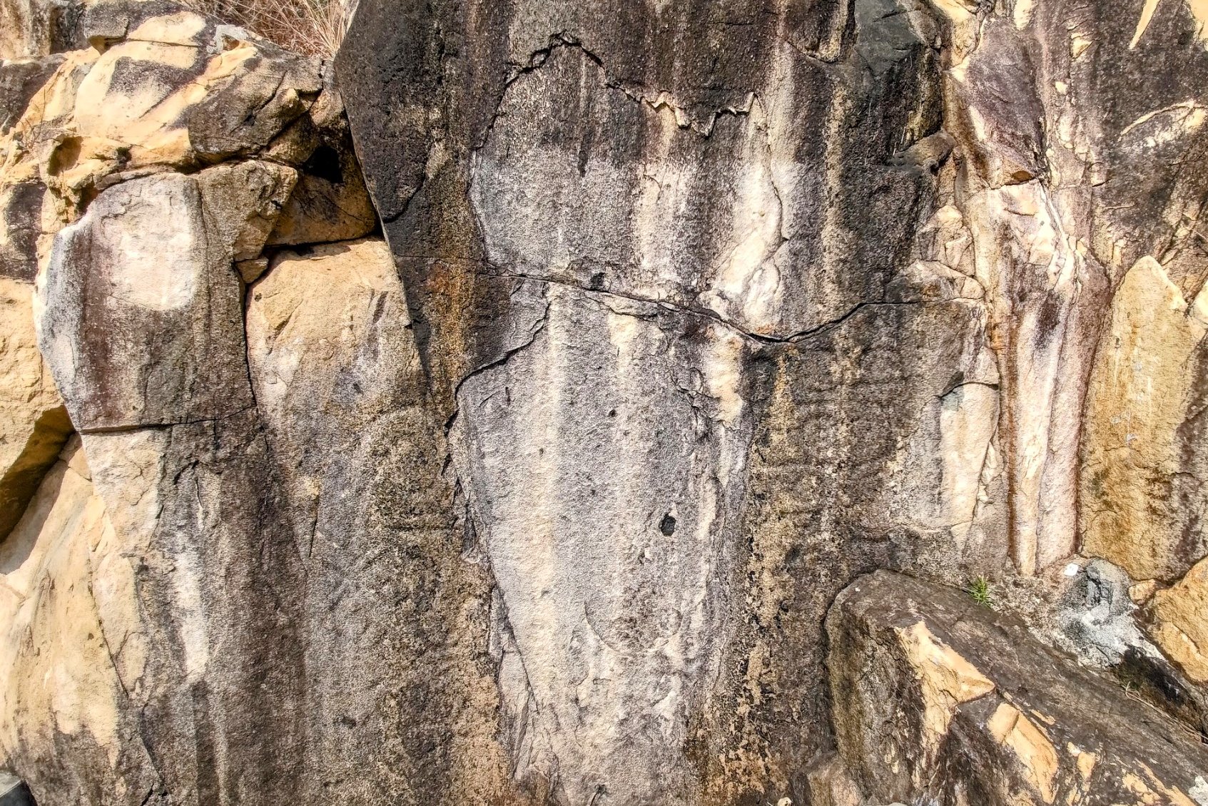
- Don’t miss the 3,000-year-old rock carving along the way. It’s marked with a green sign
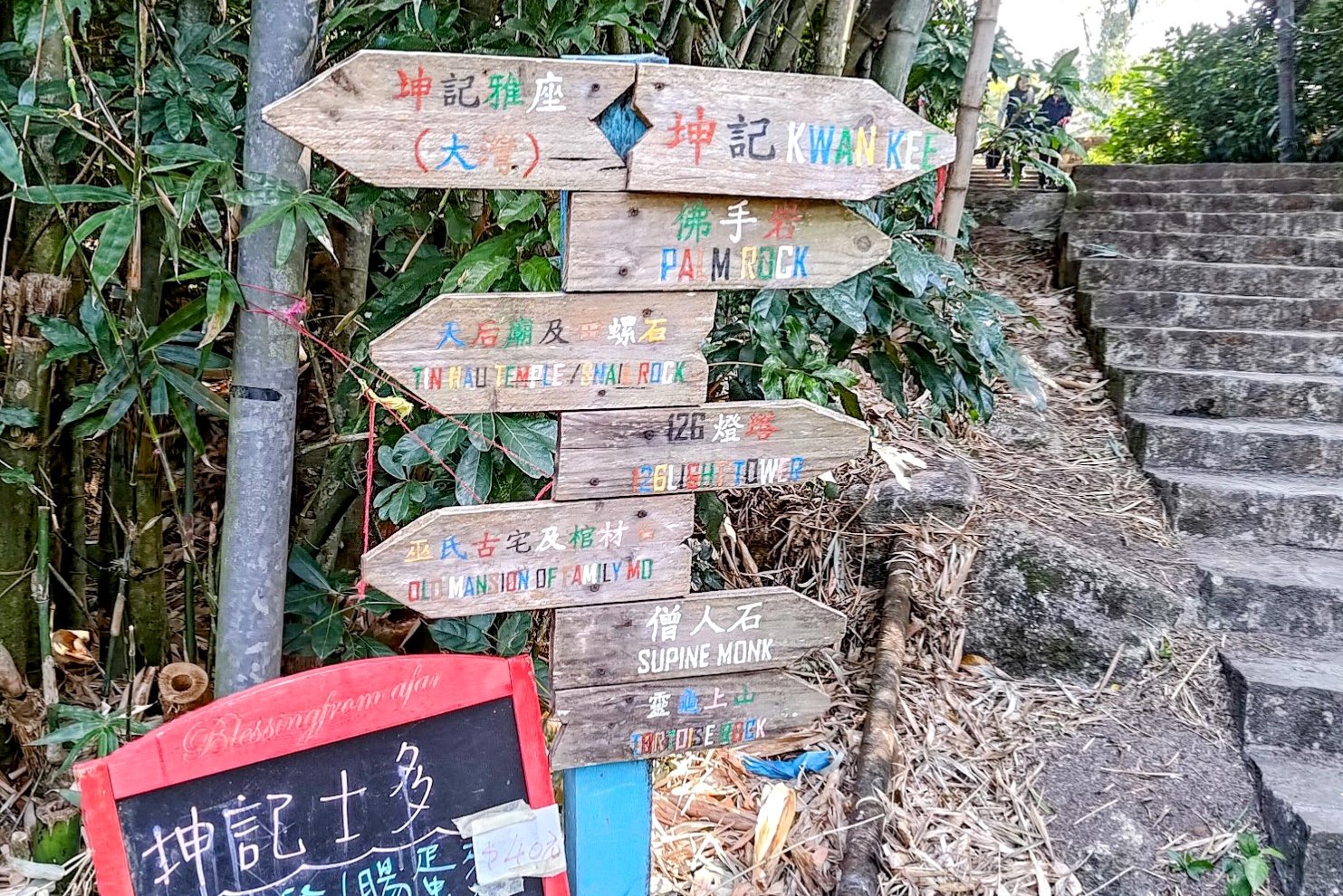
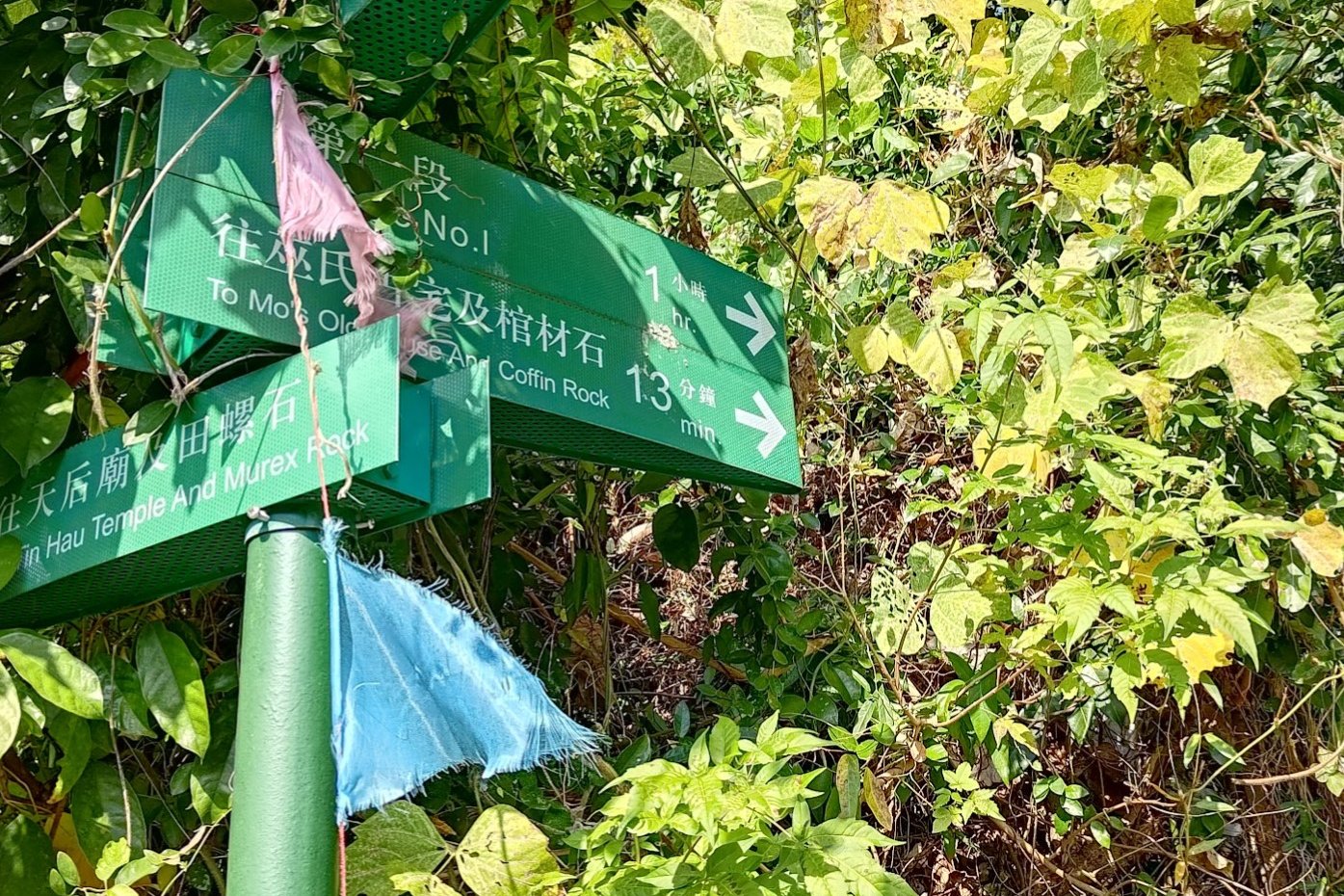
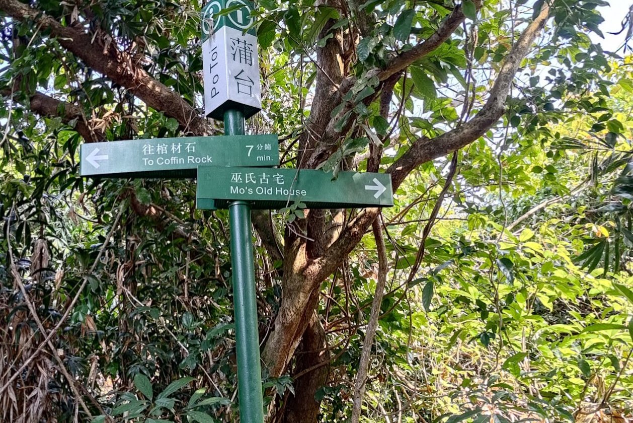
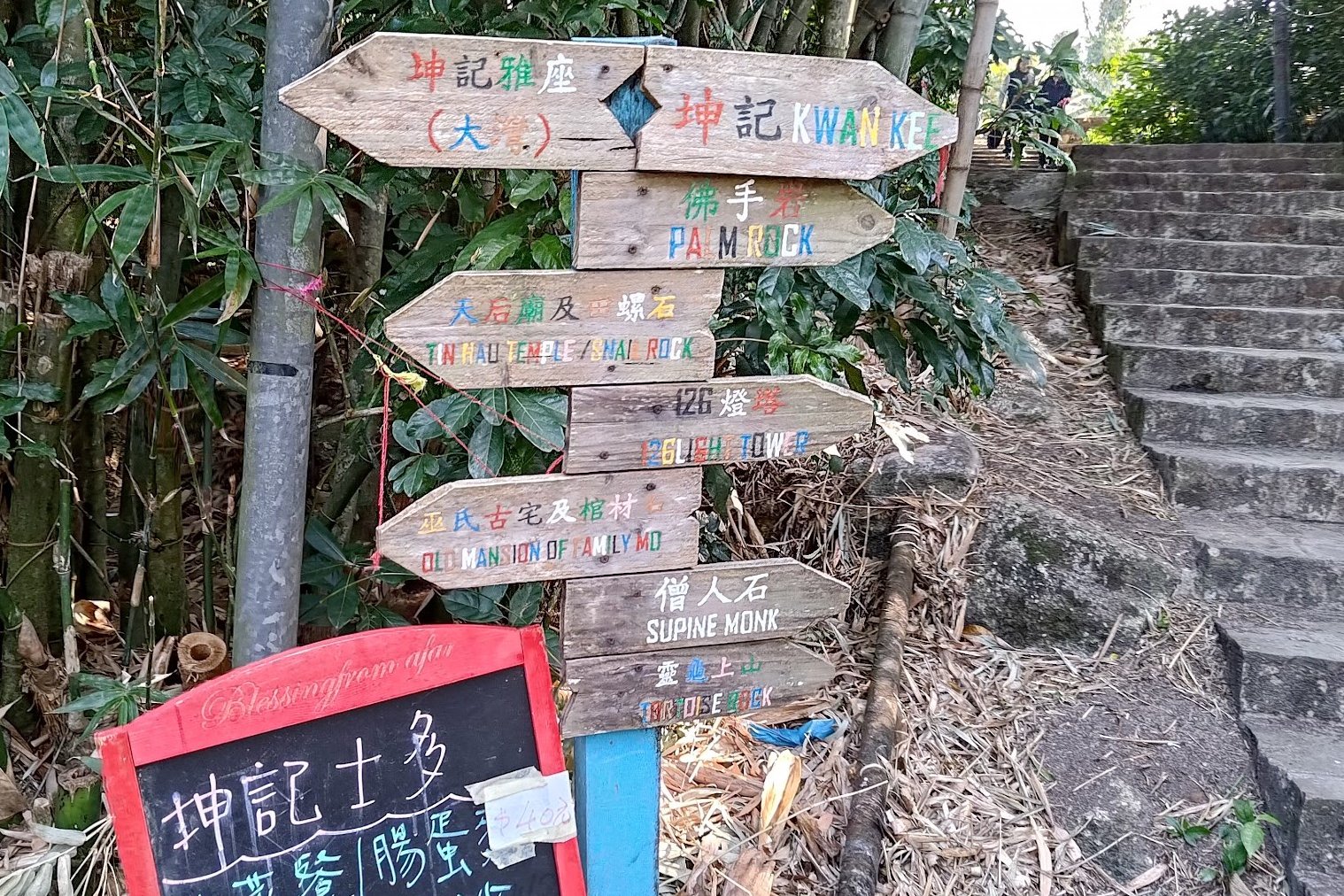
- Continue following the path and head through a little village shop. Keep following the concrete trail until you arrive at a colorful set of wooden signs
- If you want to check out the Mo Haunted House, follow the wooden sign pointing in that direction (otherwise, the ferry pier is just a short distance away)
- If you opt to visit the Mo Haunted House, follow the trail that the sign points to and eventually, you’ll see a green cluster of signs and a large staircase
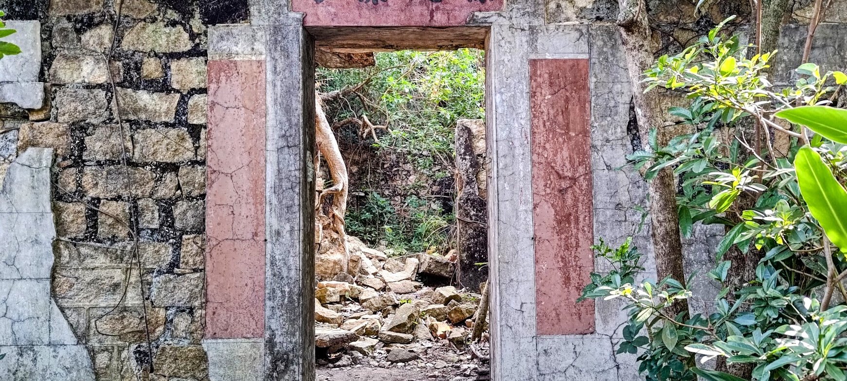
- The green sign points to “Mo’s Old House and Coffin Rock”. You’ll climb for about 15 minutes to reach the haunted house. It’s part of Trail No. 1
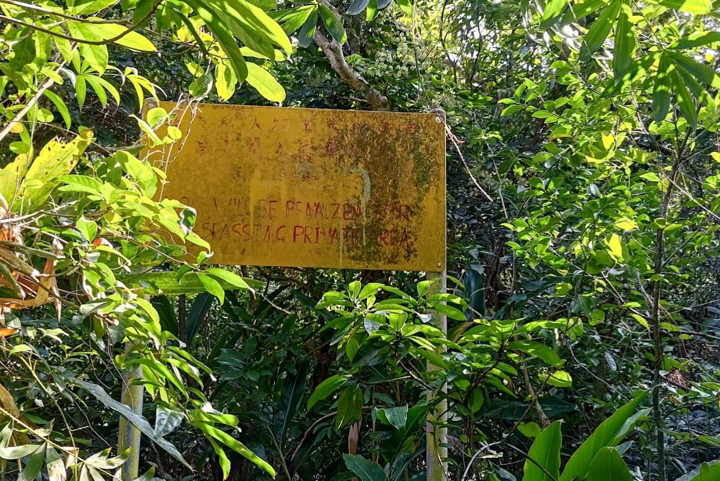
- A green sign will point to “Mo’s Old House” after about 15 mins of climbing. Head past the yellow signage in the overgrown foliage and the house is just beyond
- Retrace your steps back down and head to the ferry pier.
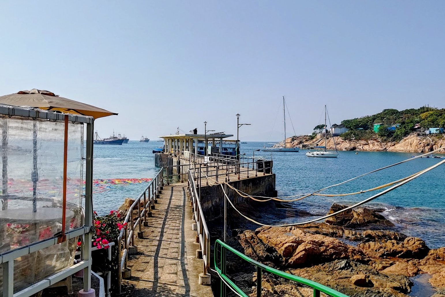
The Ferry Journey to Po Toi
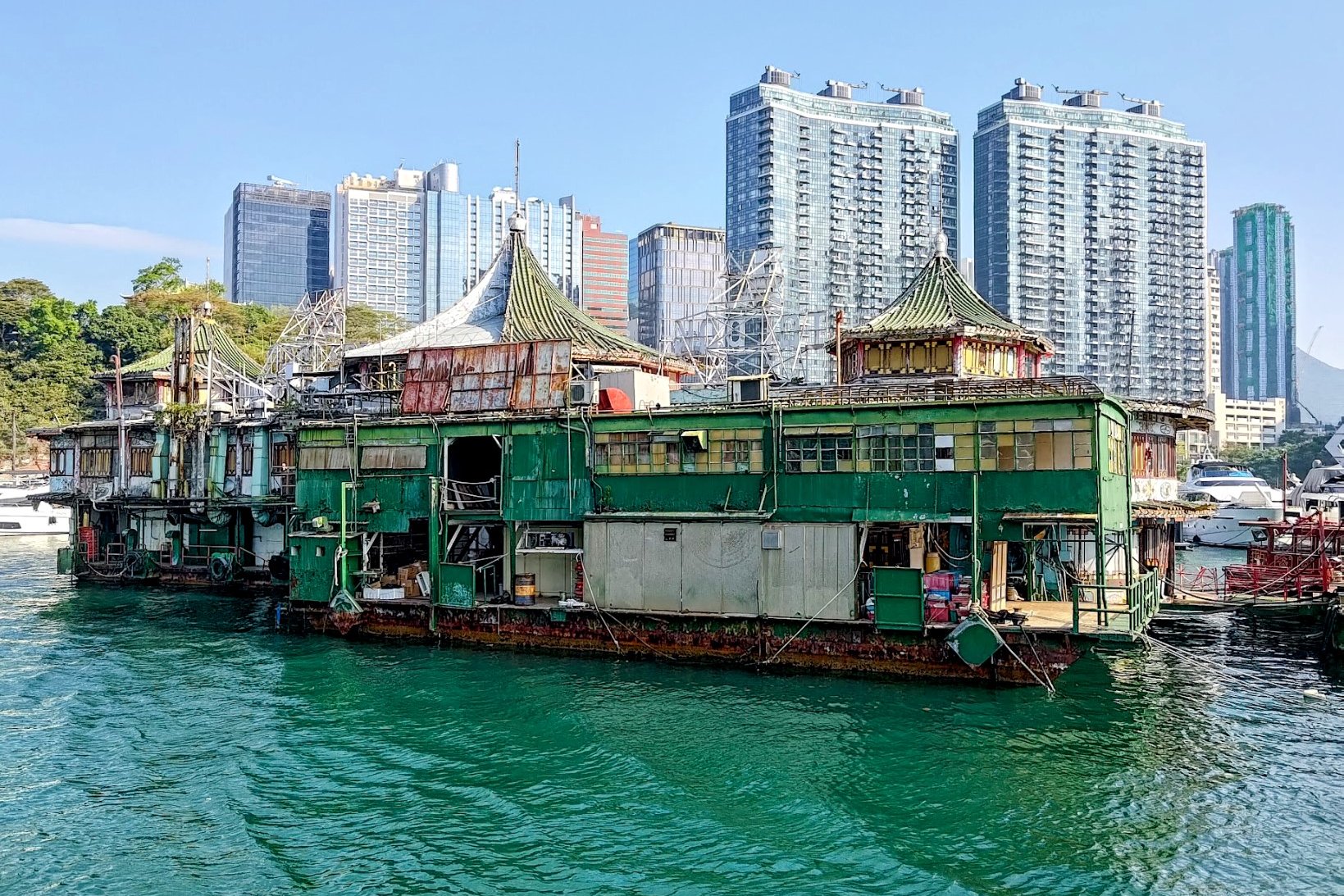
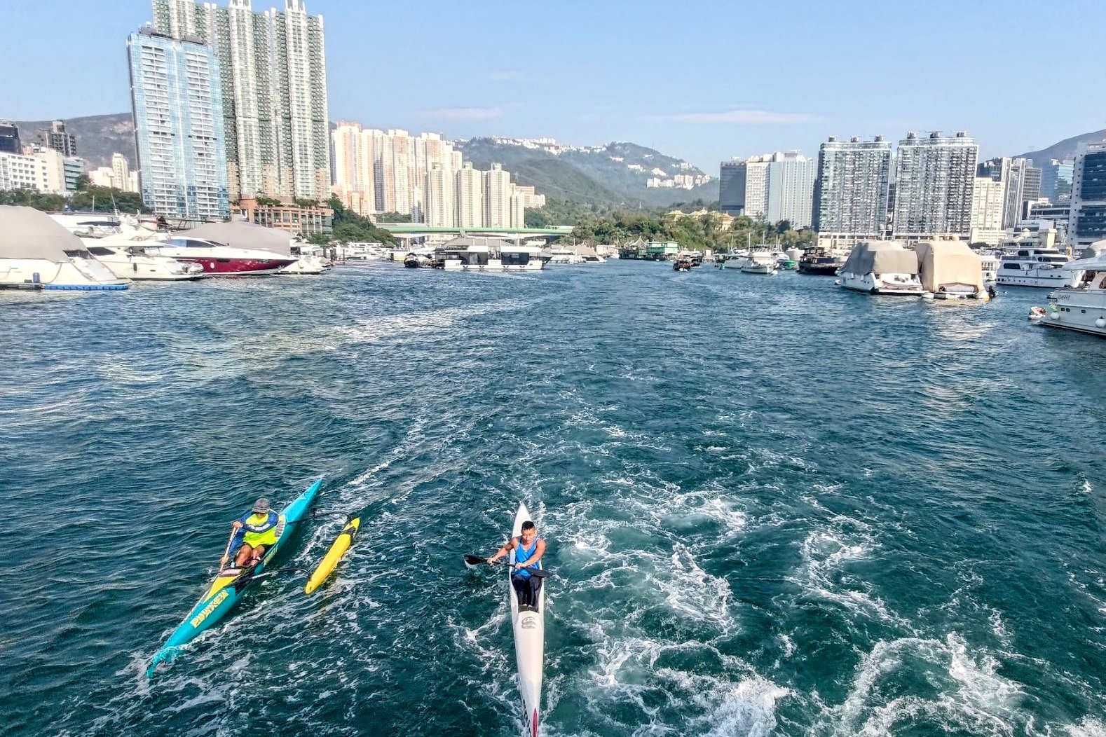
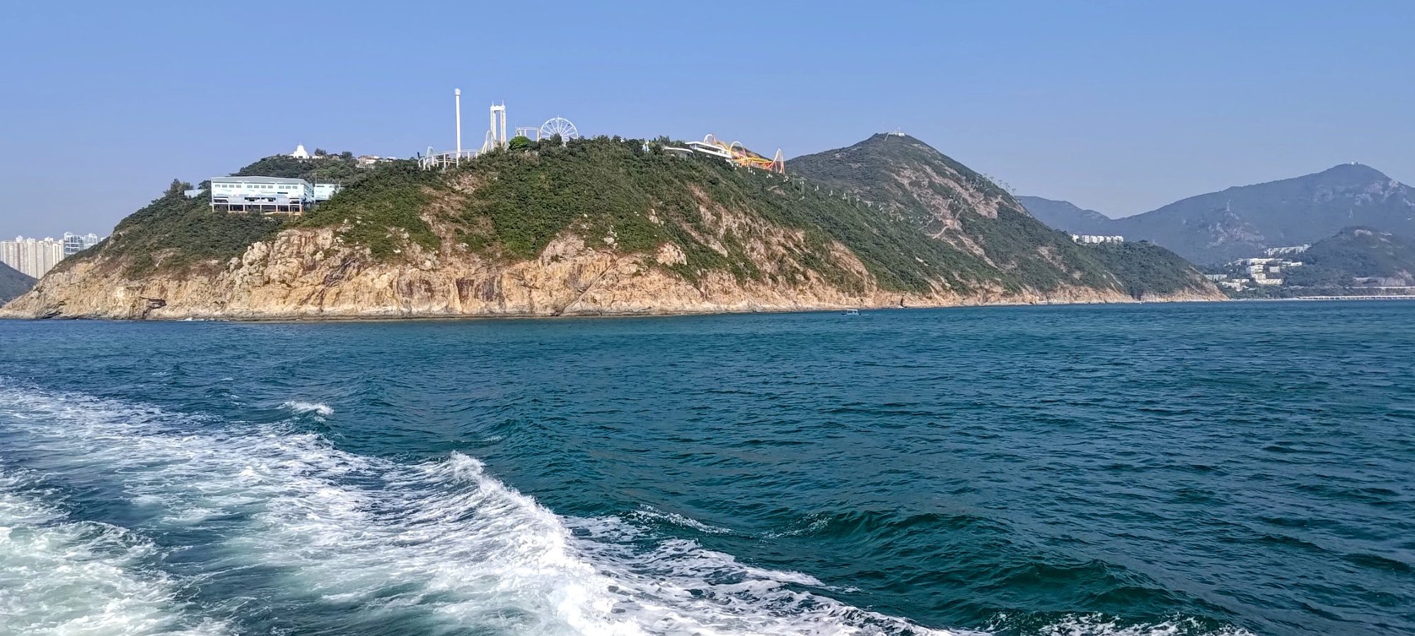
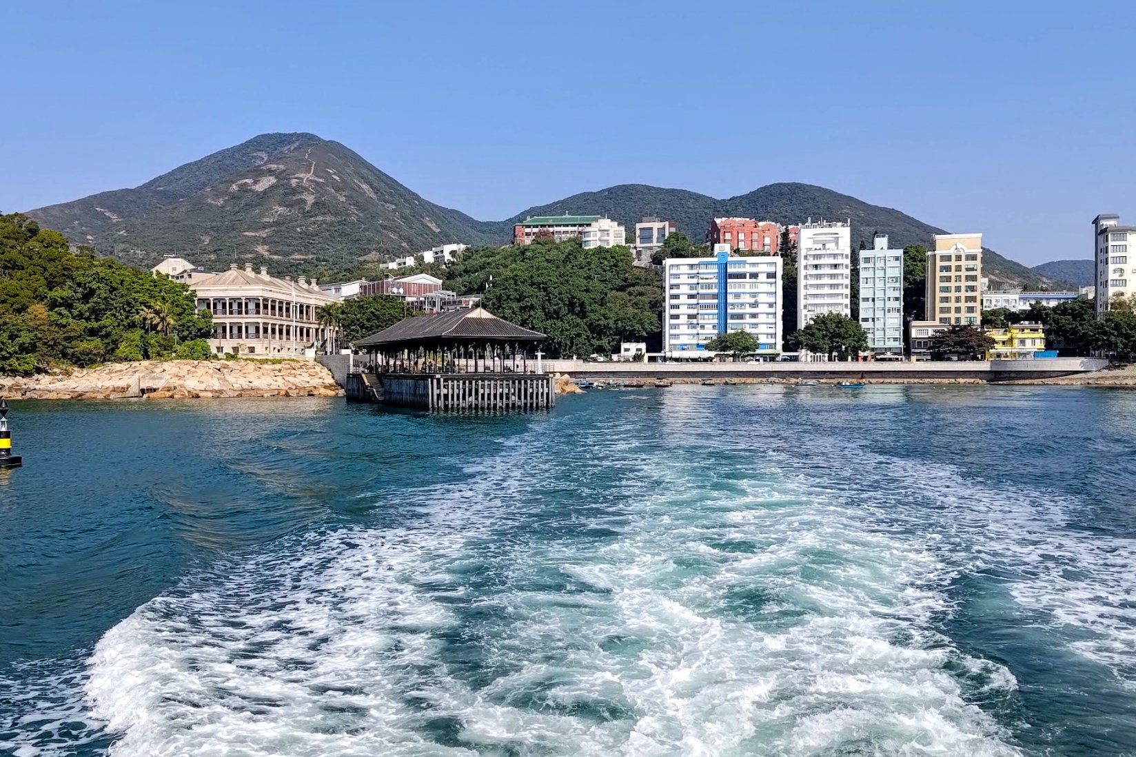

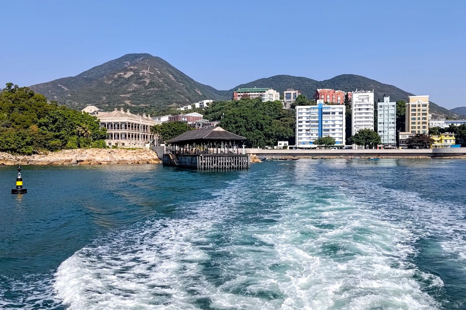
It takes about an hour from Aberdeen to Po Toi. The ferry journey is really scenic and will go past some old Hong Kong floating seafood restaurants that are no longer in use. It'll also go past Ocean Park and then out to Stanley's Blake Pier. This leg of the journey takes 30 mins.
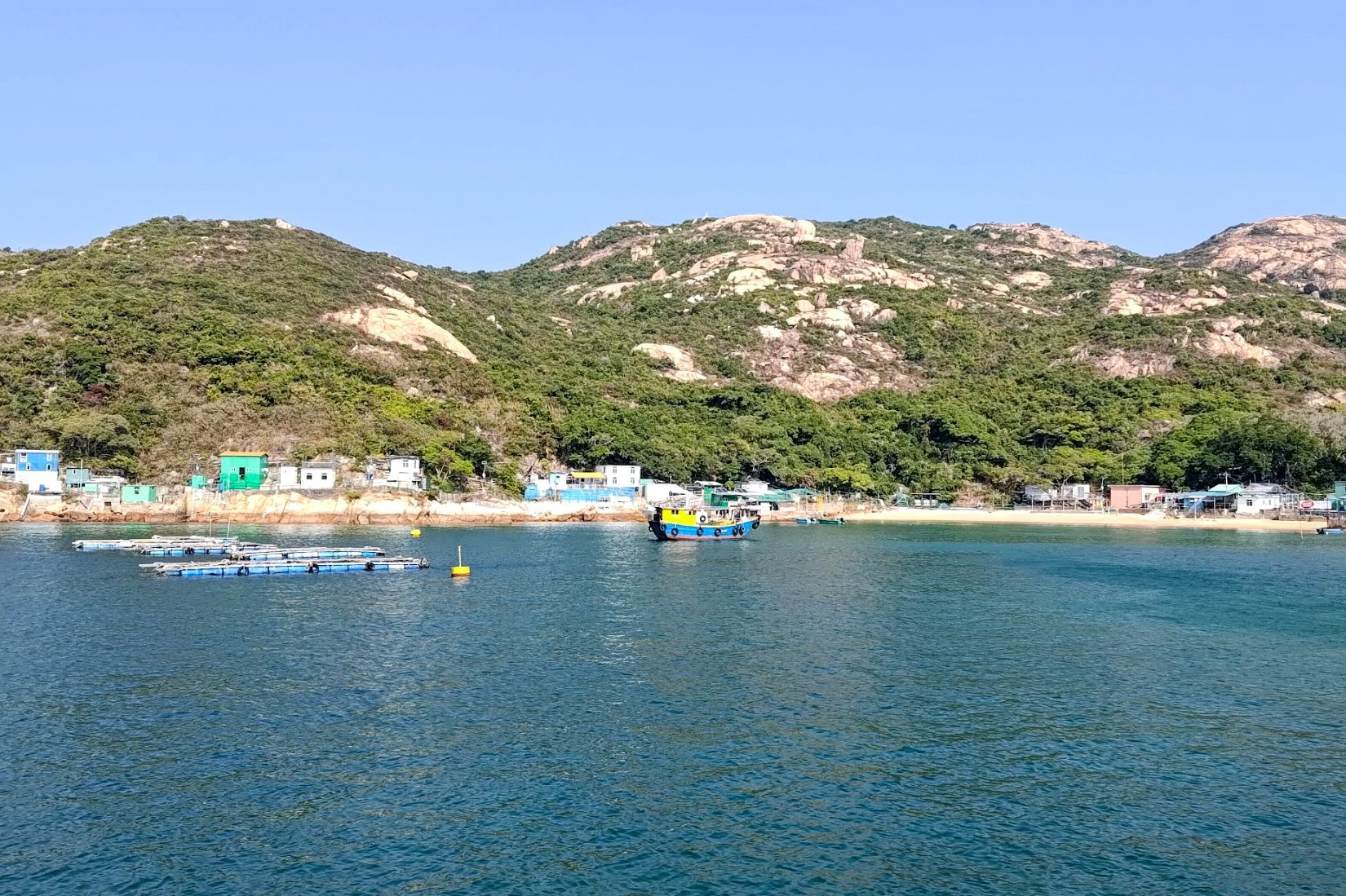
From Blake Pier, the ferry will head straight to Po Toi, which takes another 30 mins.
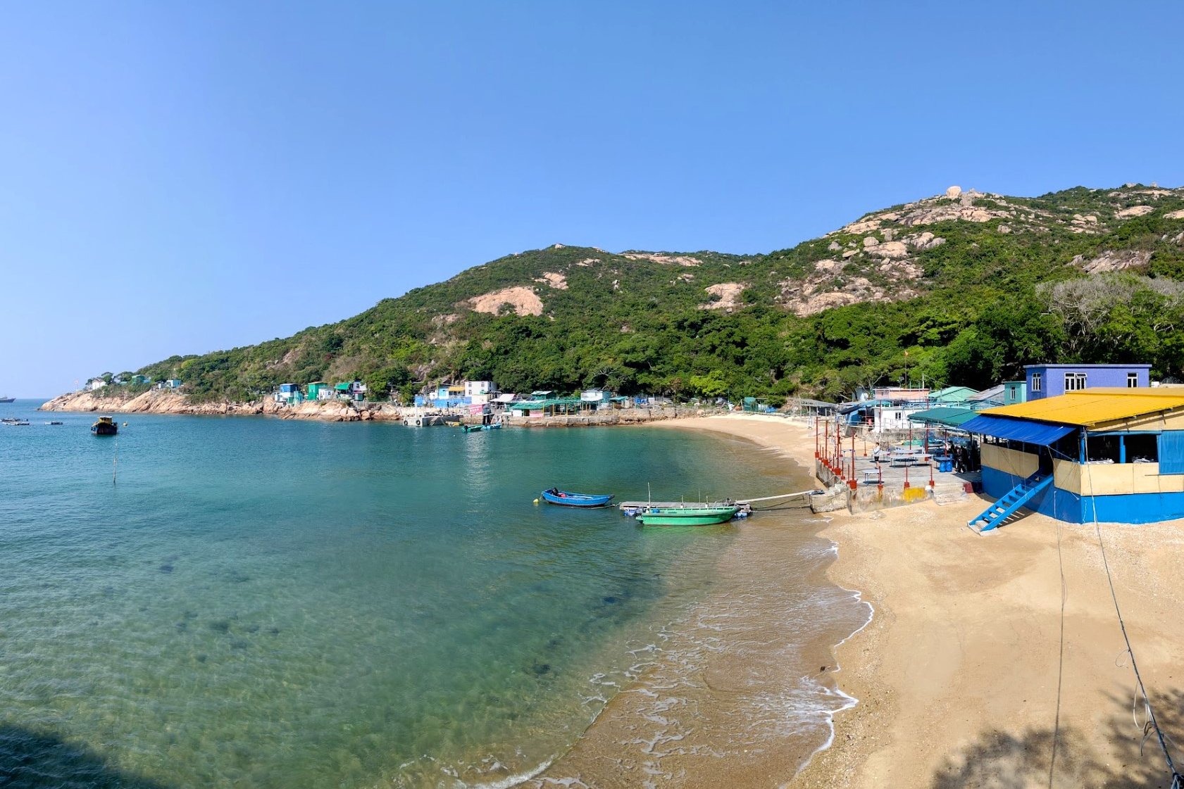
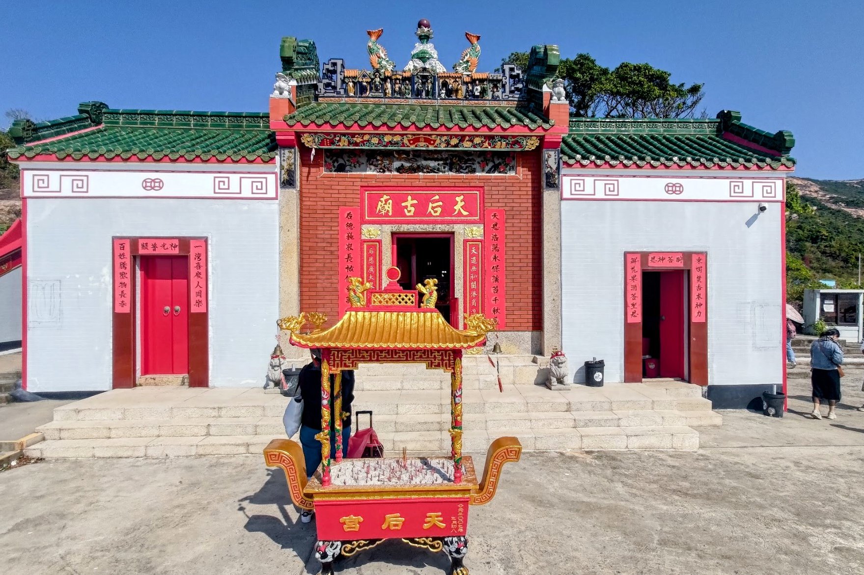
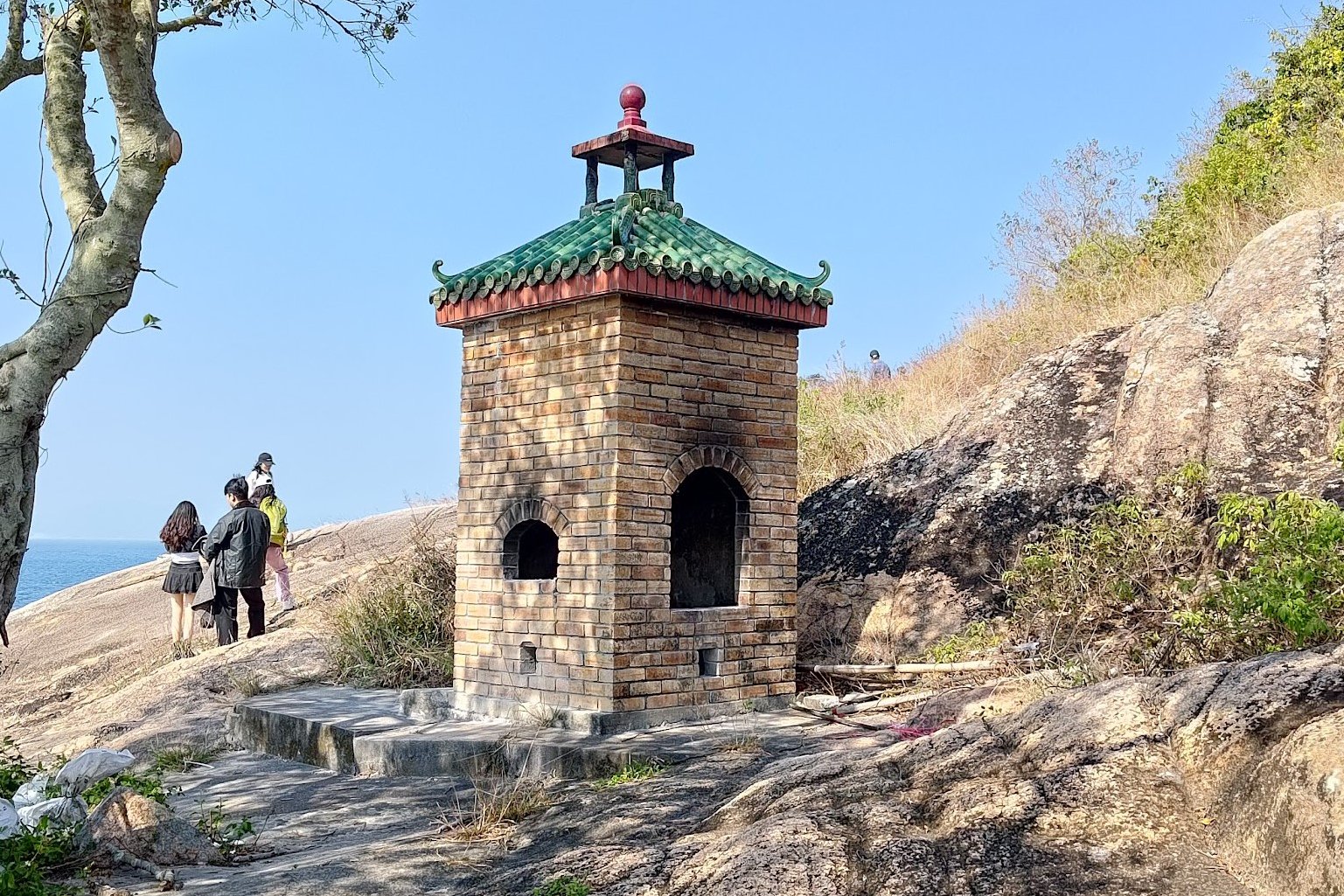
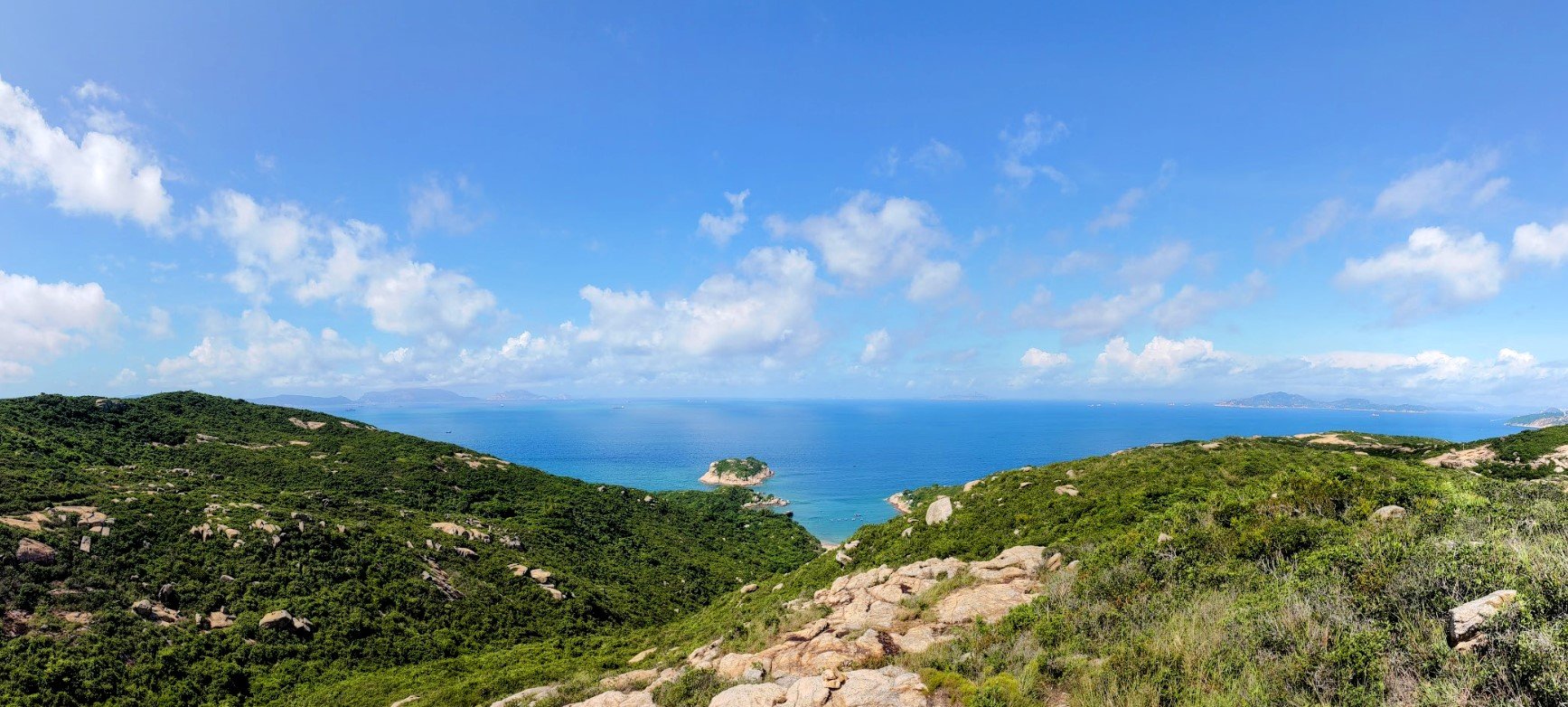
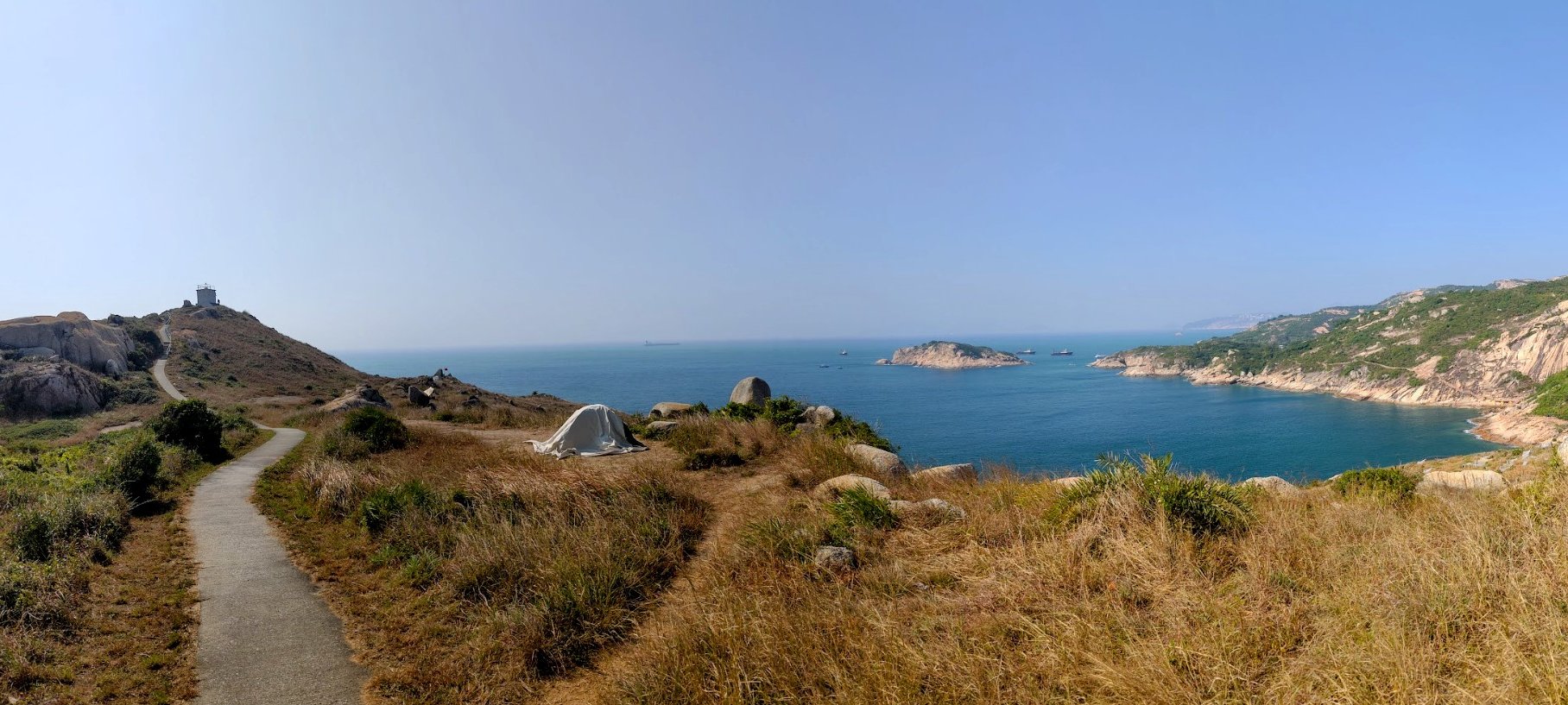
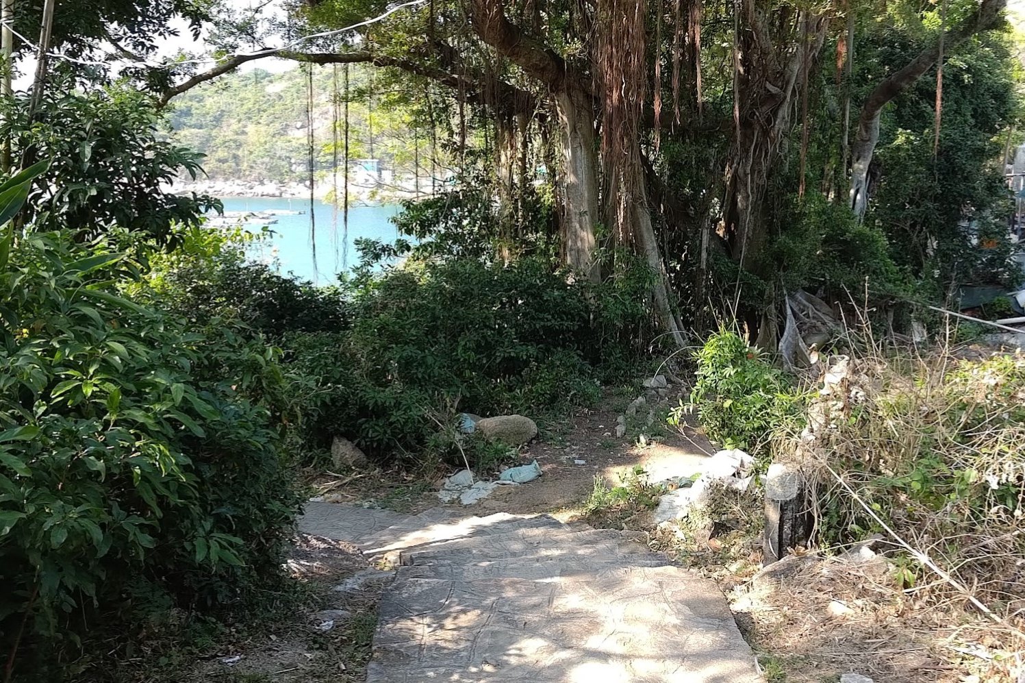
Abandoned School, Tai Wan Beach, and Tin Hau Temple

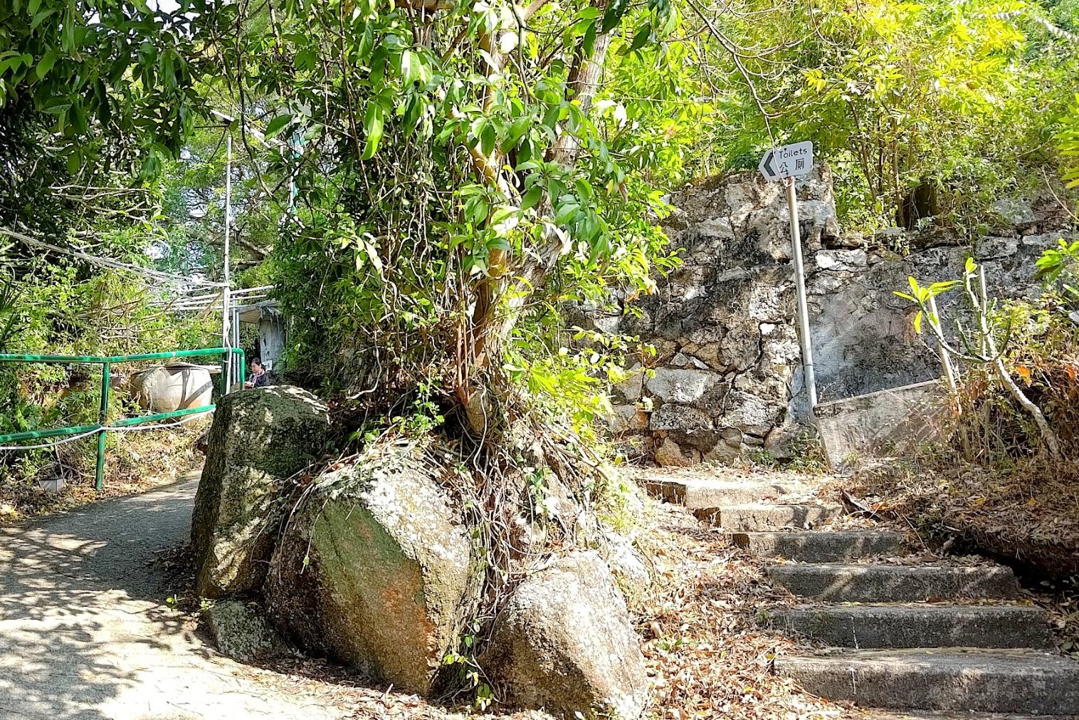


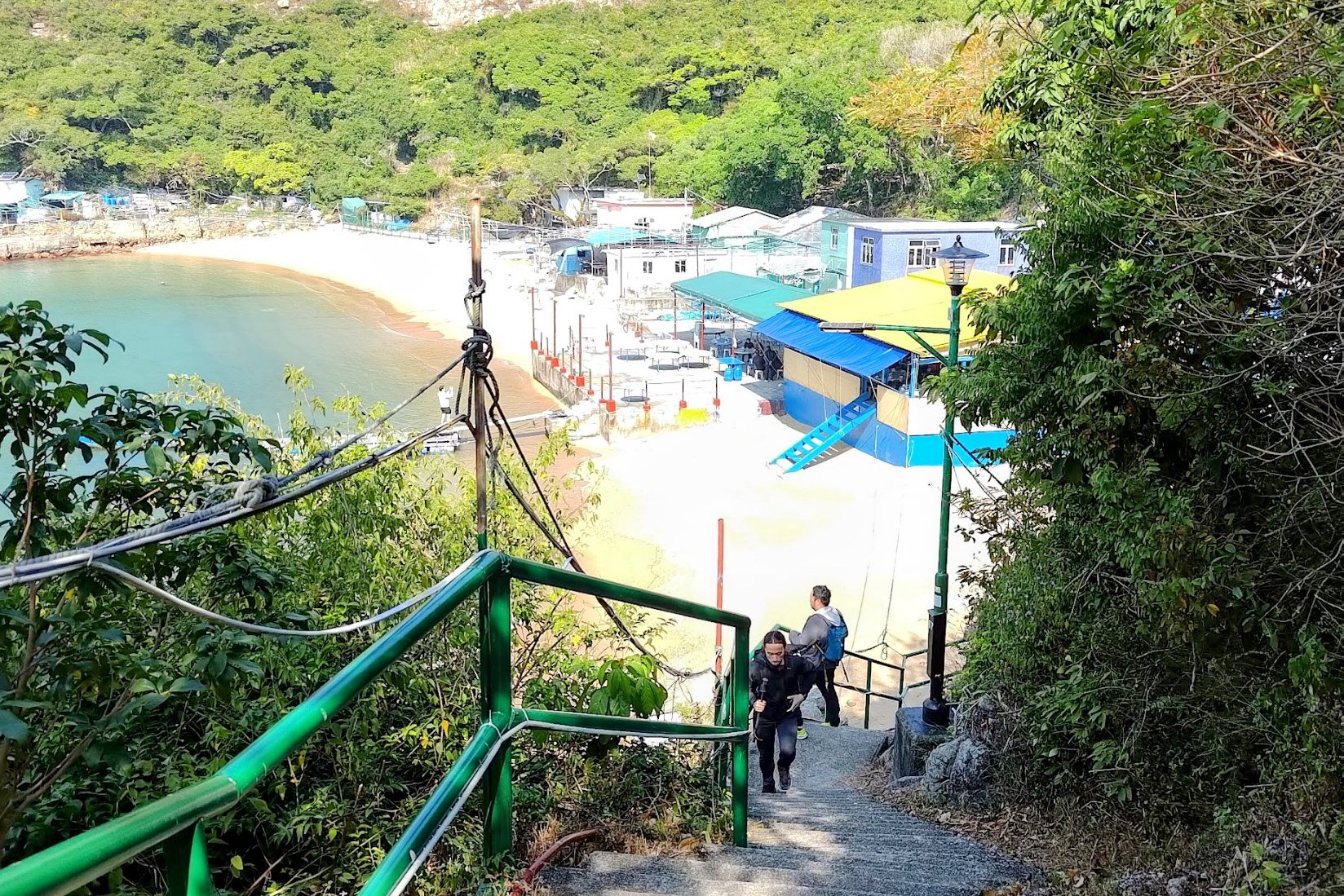


This entire section (including the Po Toi School detour) took just around half an hour.
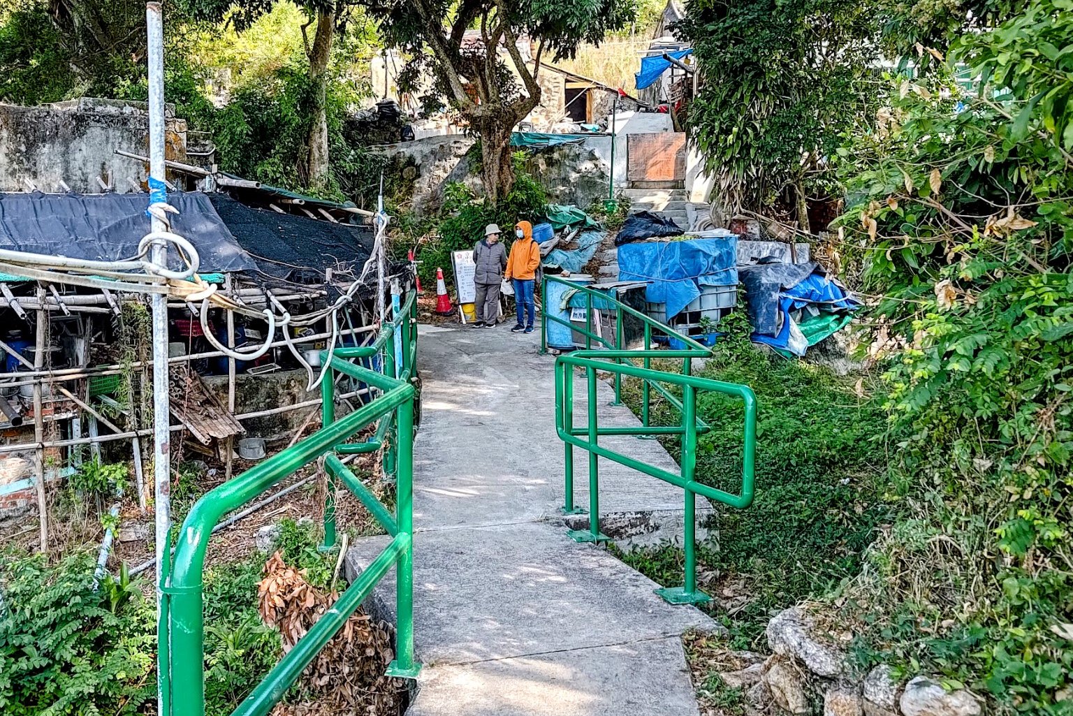
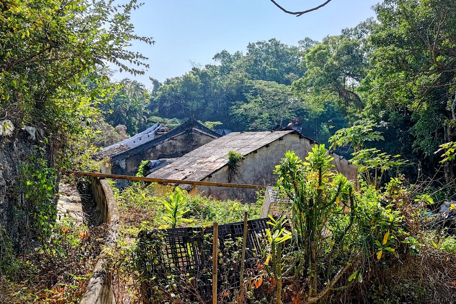
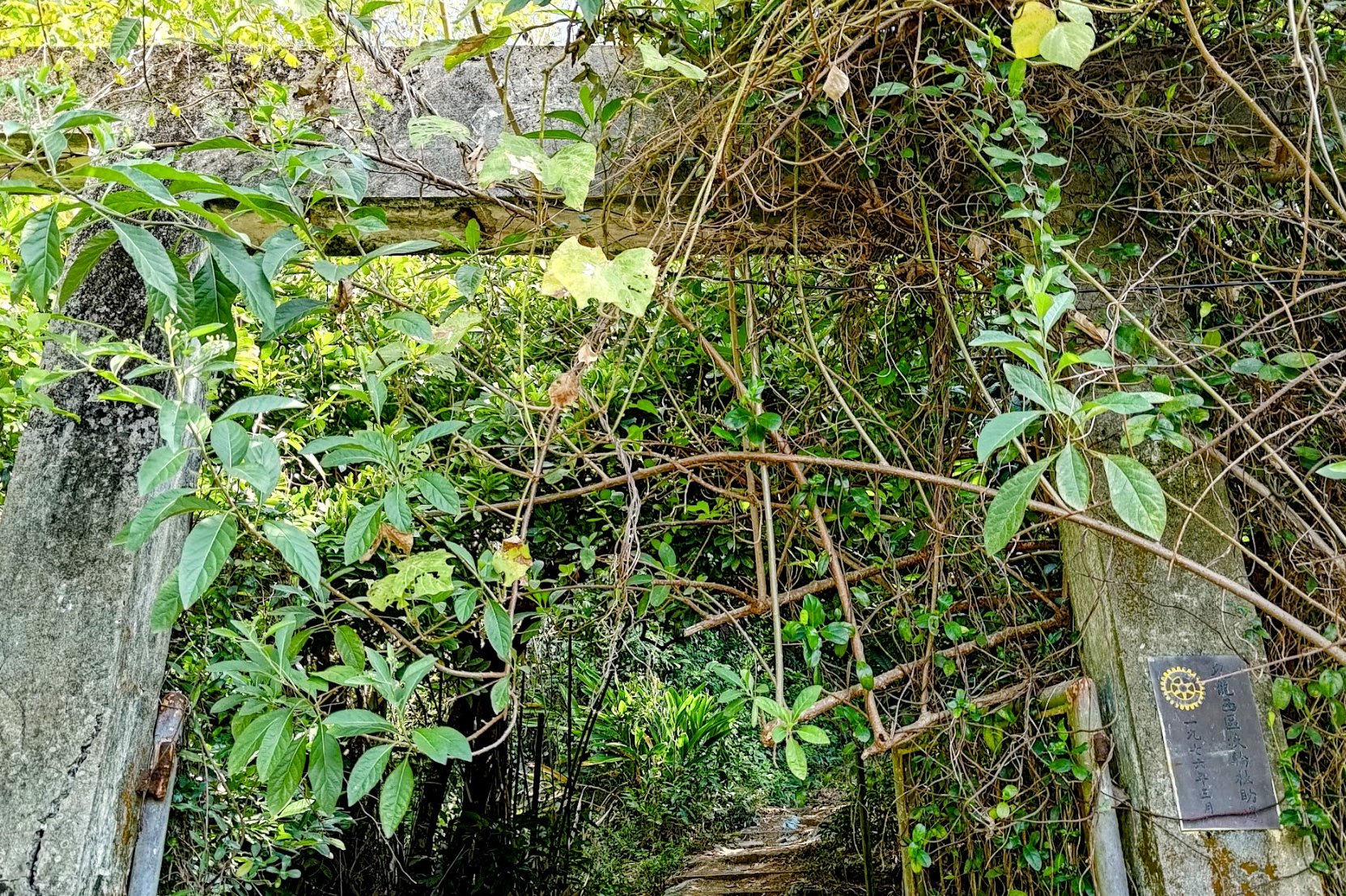
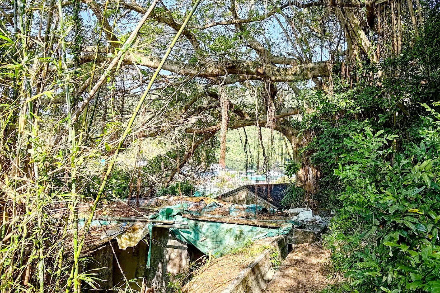
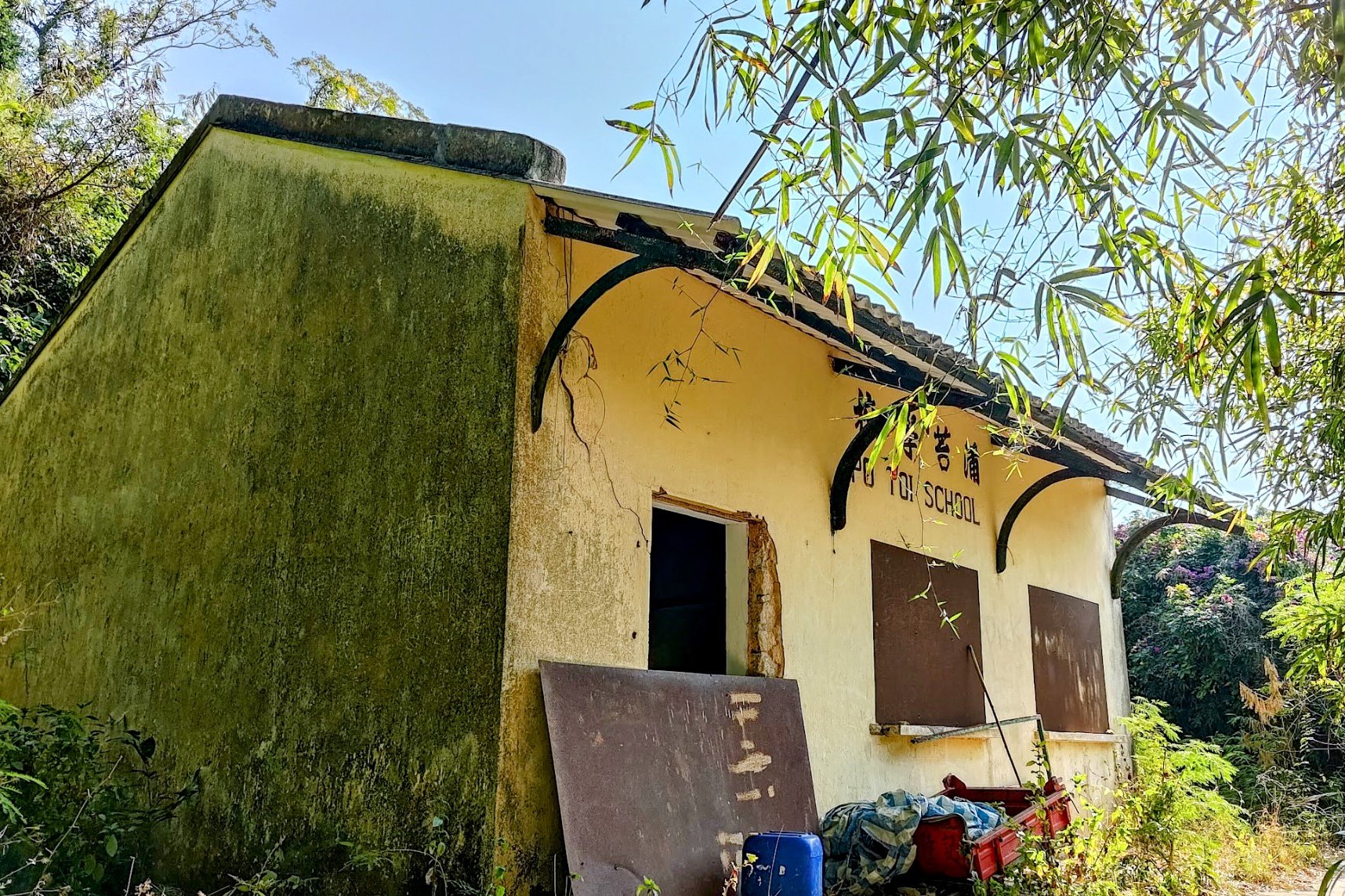
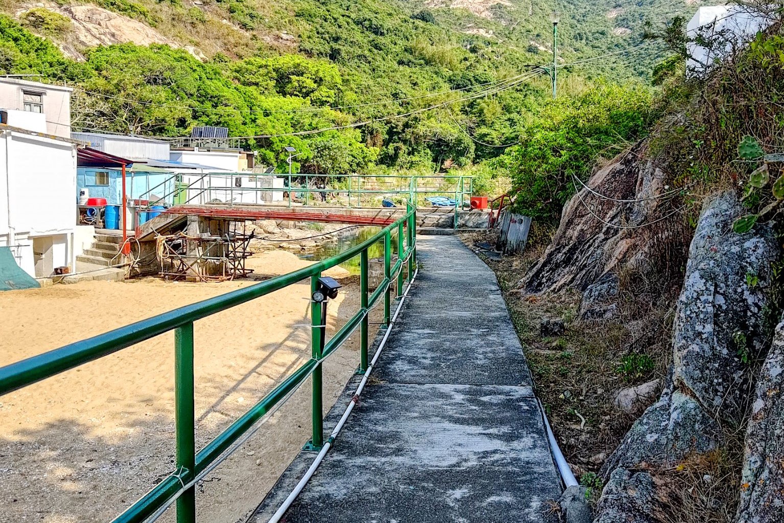
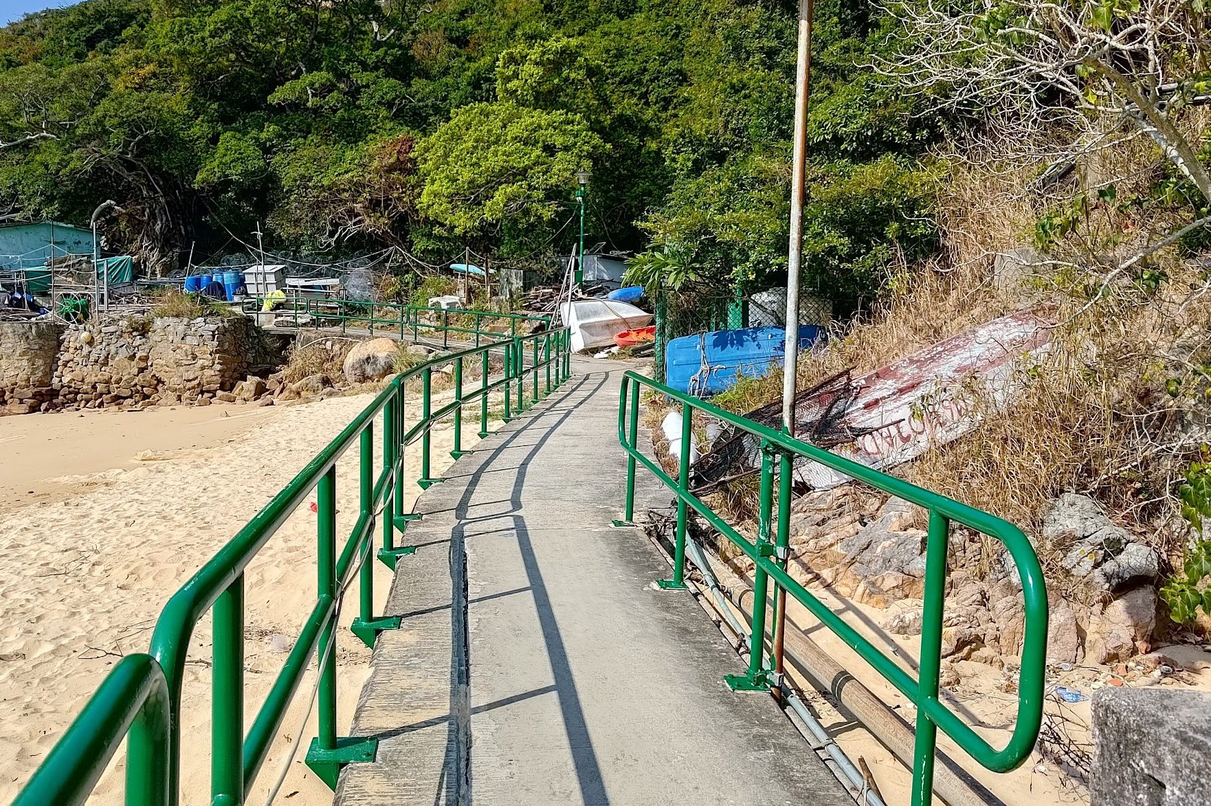
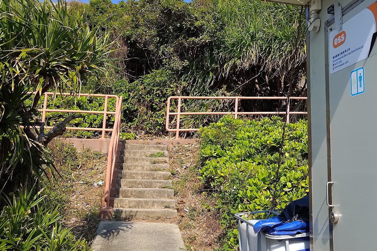
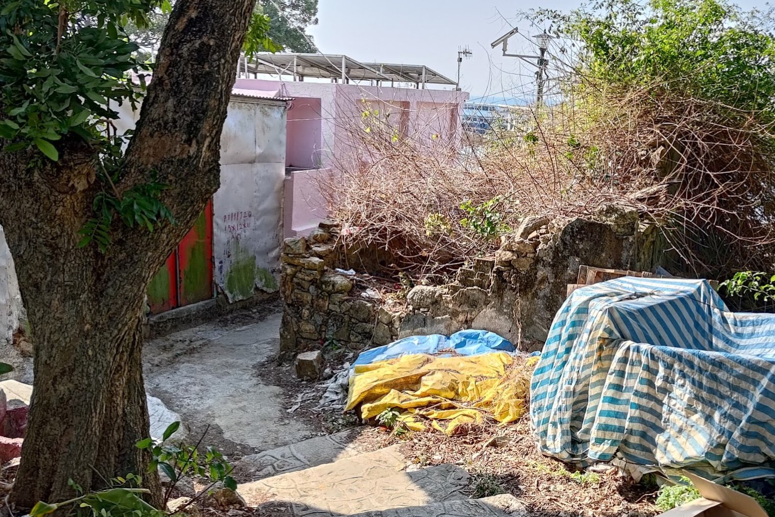
You'll want to go left from the ferry pier and pretty soon you'll see some abandoned buildings after following the concrete path with the green railings by it.
Explore around the old buildings and you'll find a gate that leads to the abandoned school. There is a set of stairs leading back to the path just beside the school.
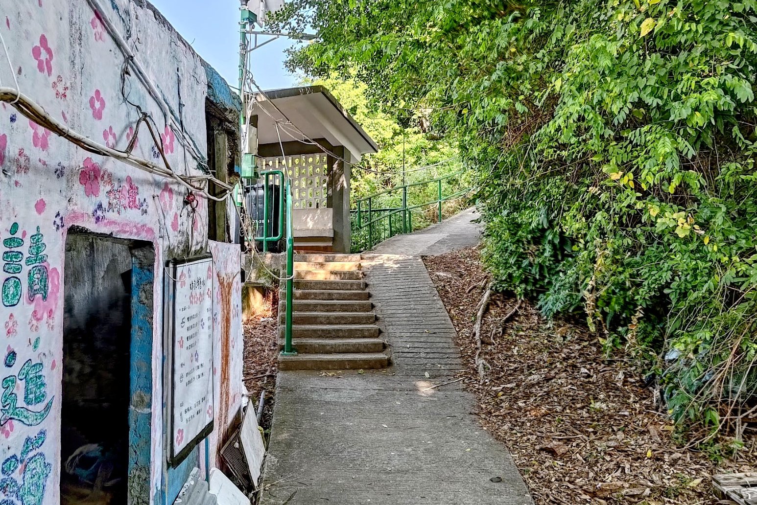
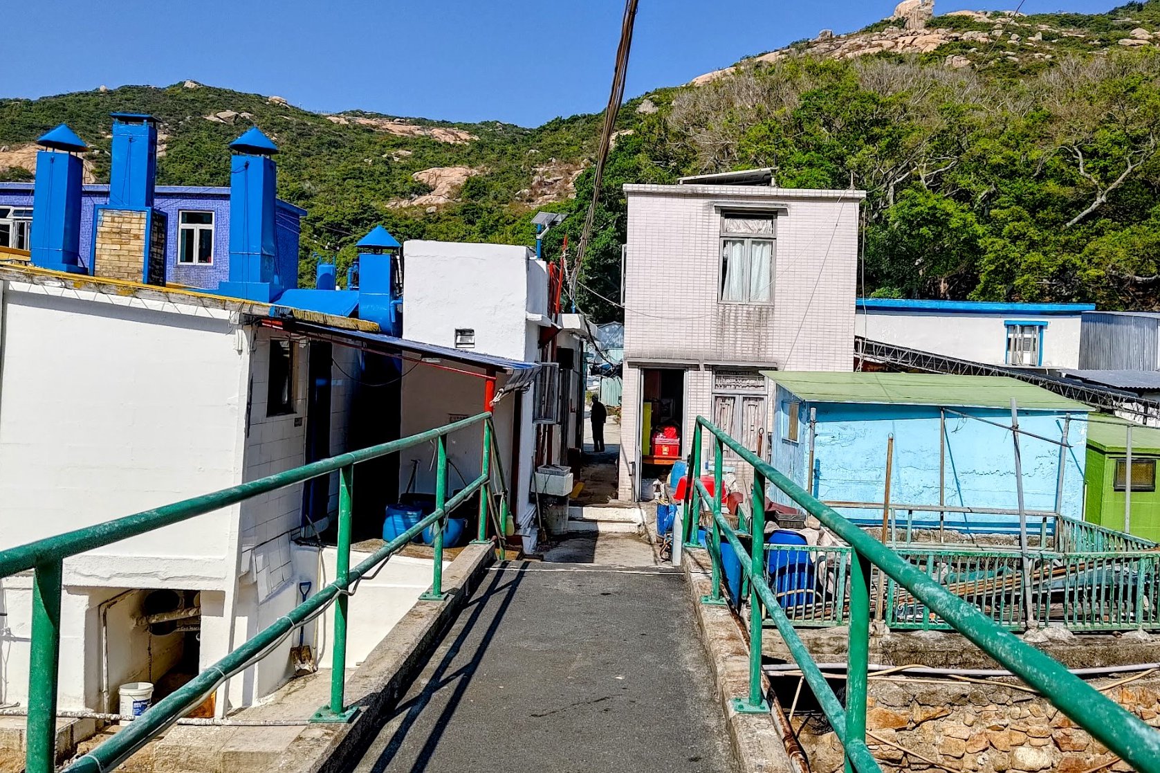
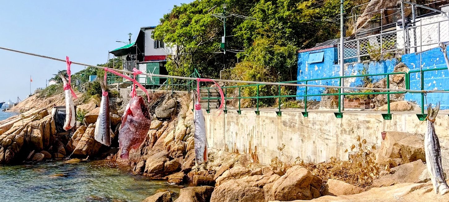
Follow the path to the village and beach by the coast and head through it. This area is called Tai Wan Bay, and is your last chance to eat, use the facilities and stock up on drinks. When you're ready to continue, the path with the green railings will let you know you're going in the right direction.
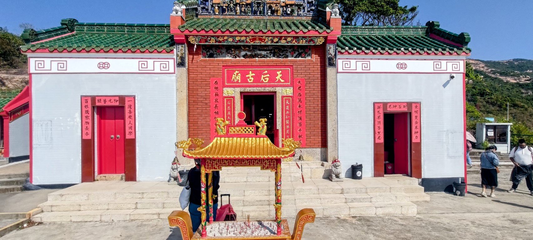
Soon, you'll arrive at the Tin Hau Temple, which was built in 1893, during the Qing Dynasty. It was built to protect fishermen from storms as Tin Hau is the local god often believed to protect sailors and fisherfolk who live lives close to, or on the sea.
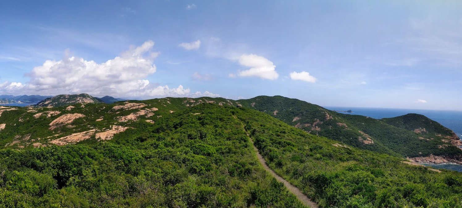
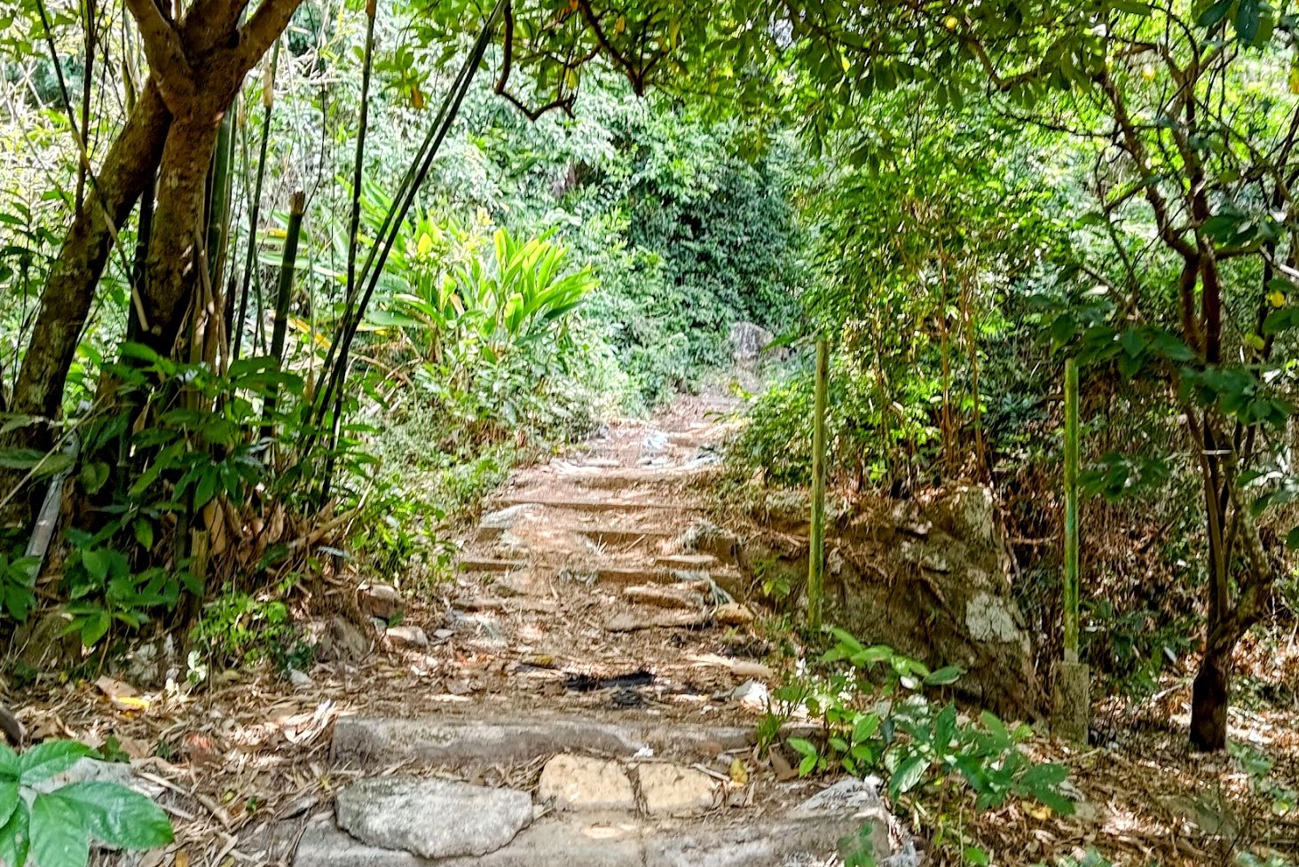
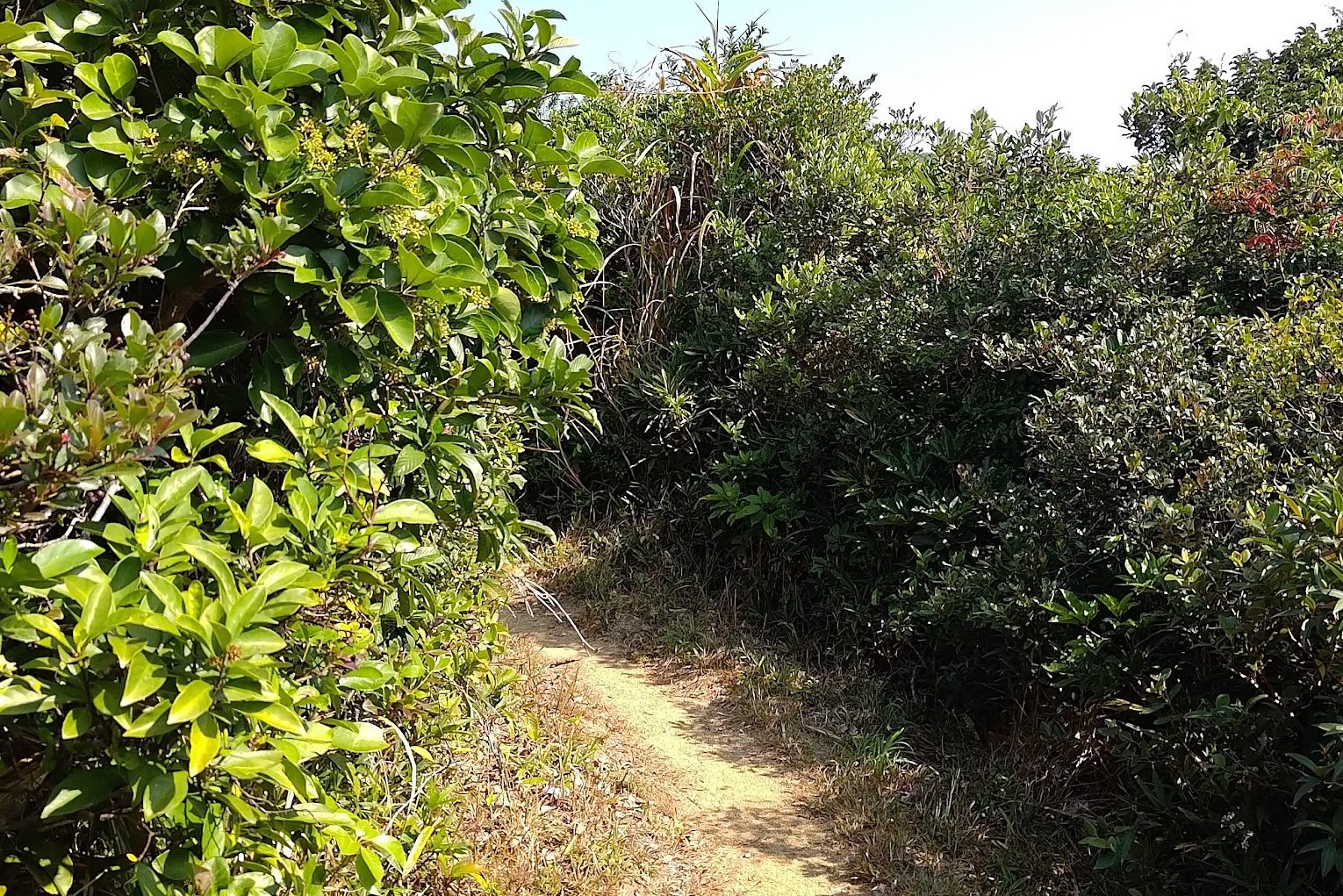
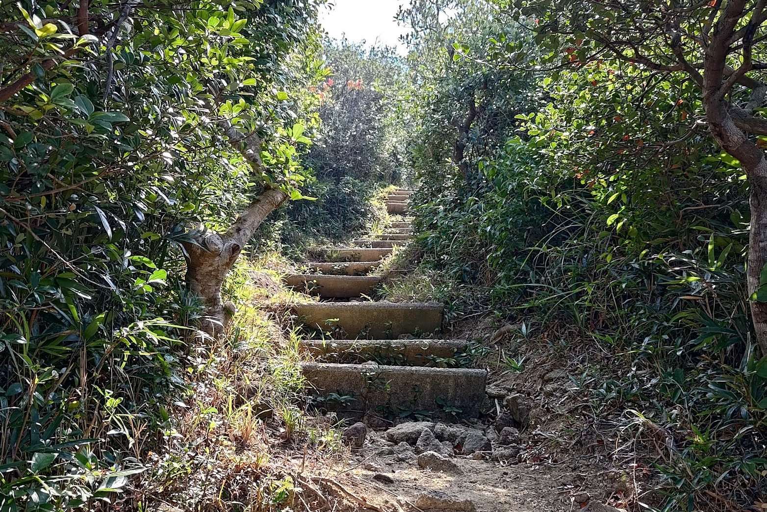
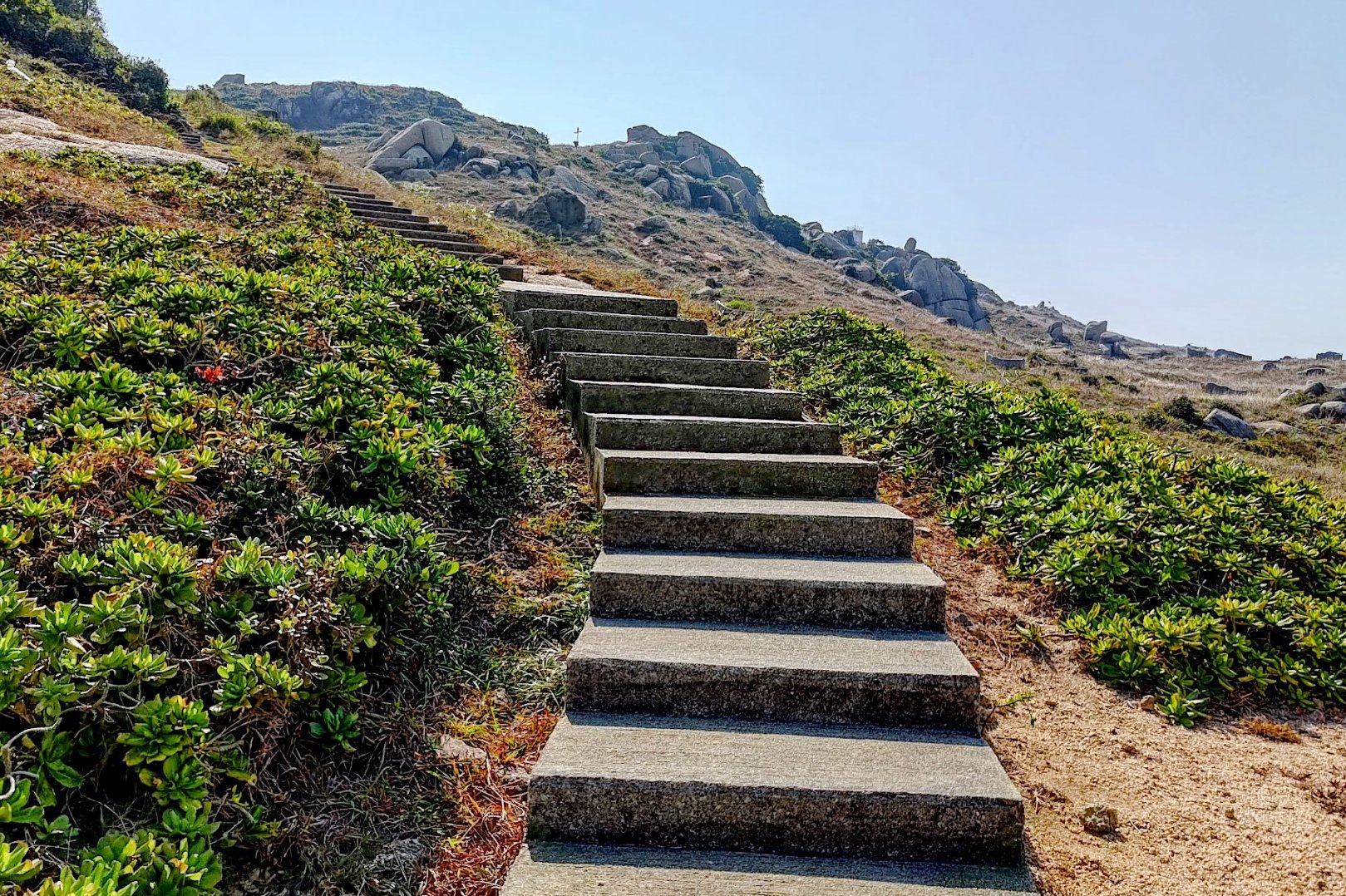
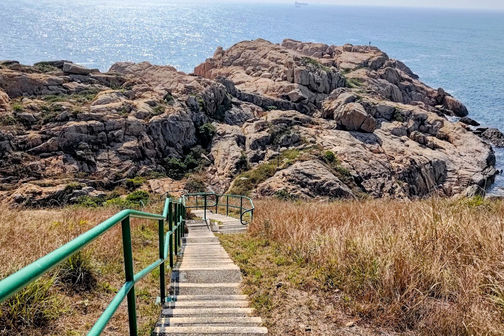
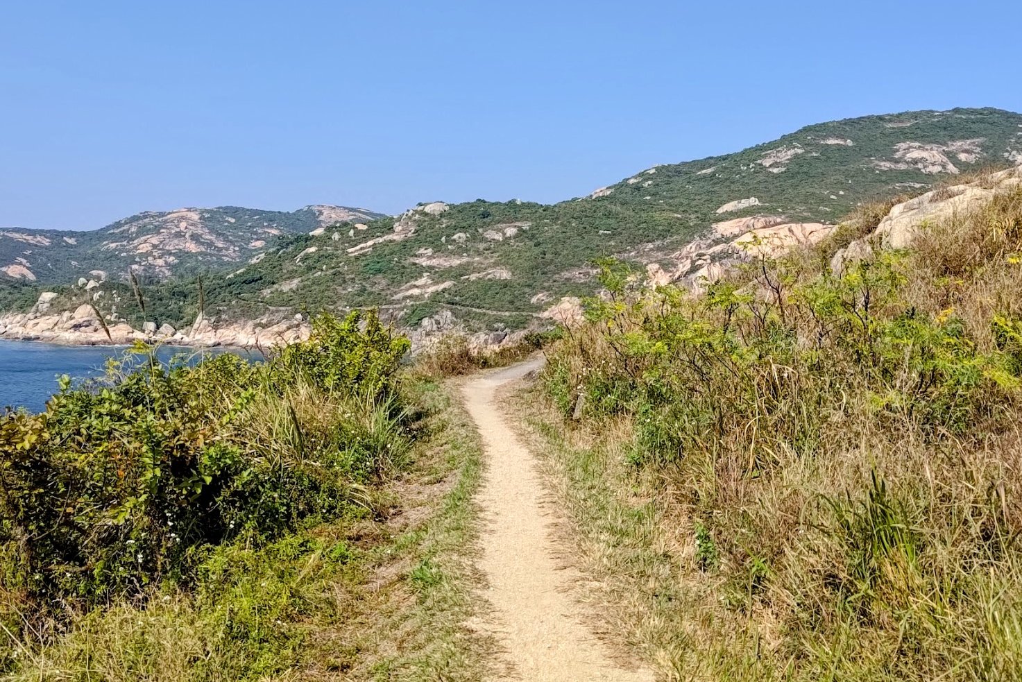
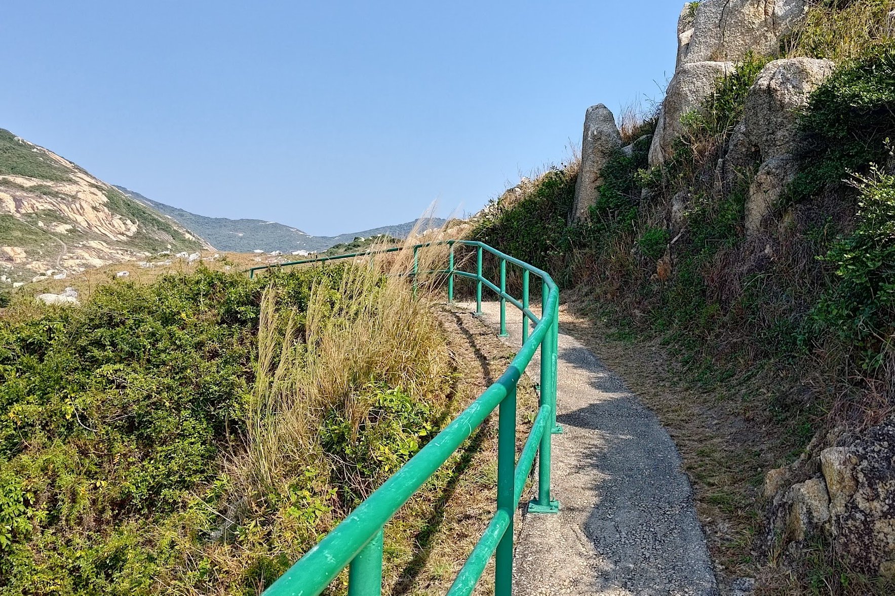
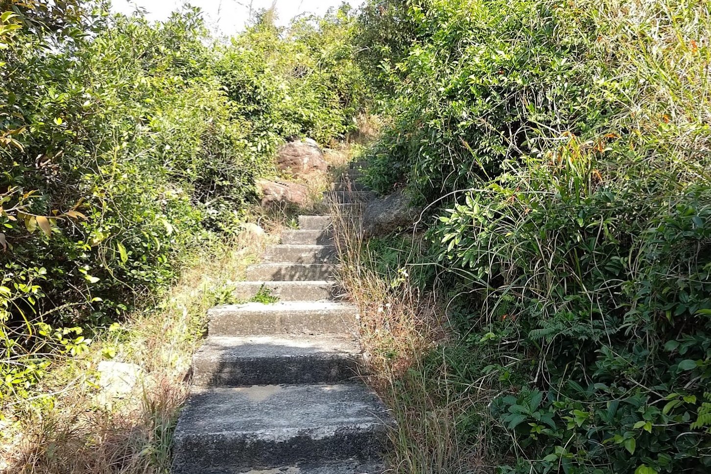
Route 3 Climb to the Pavilion
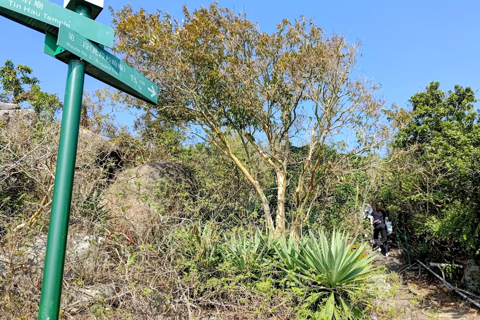
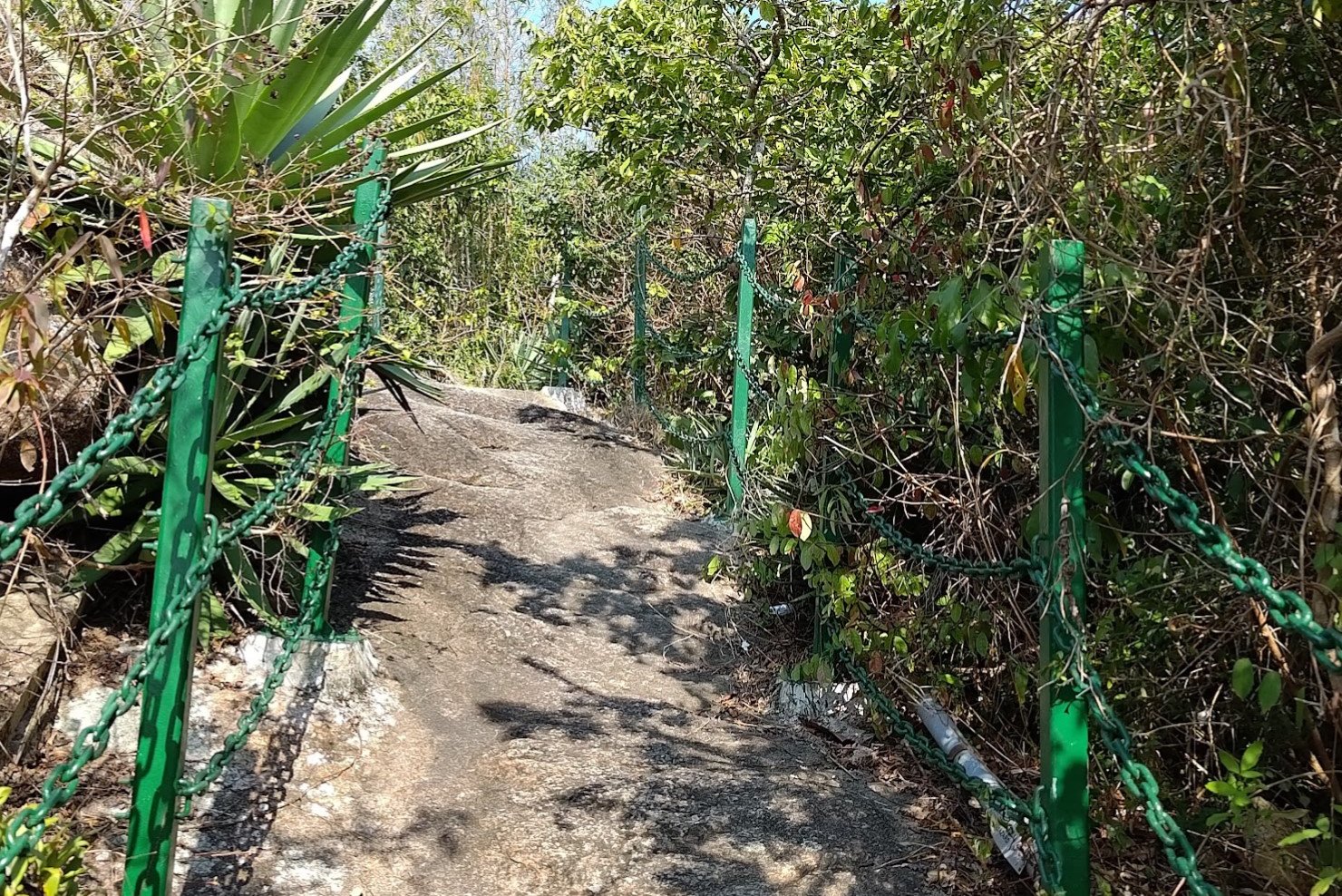
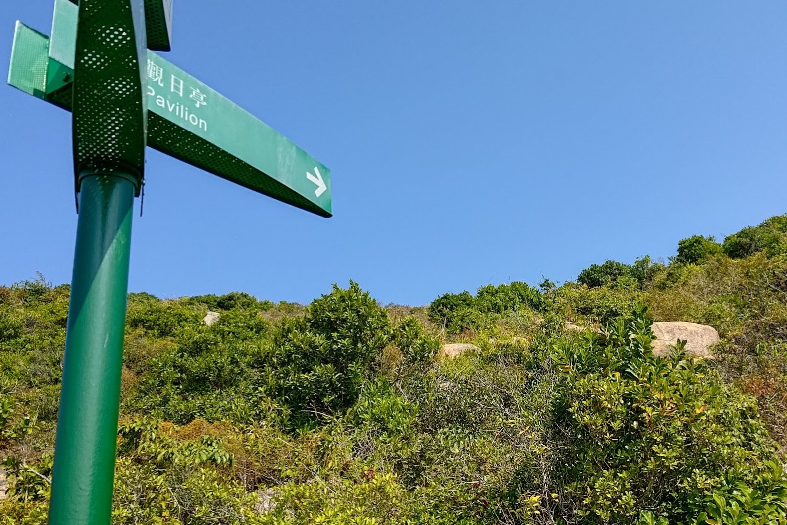
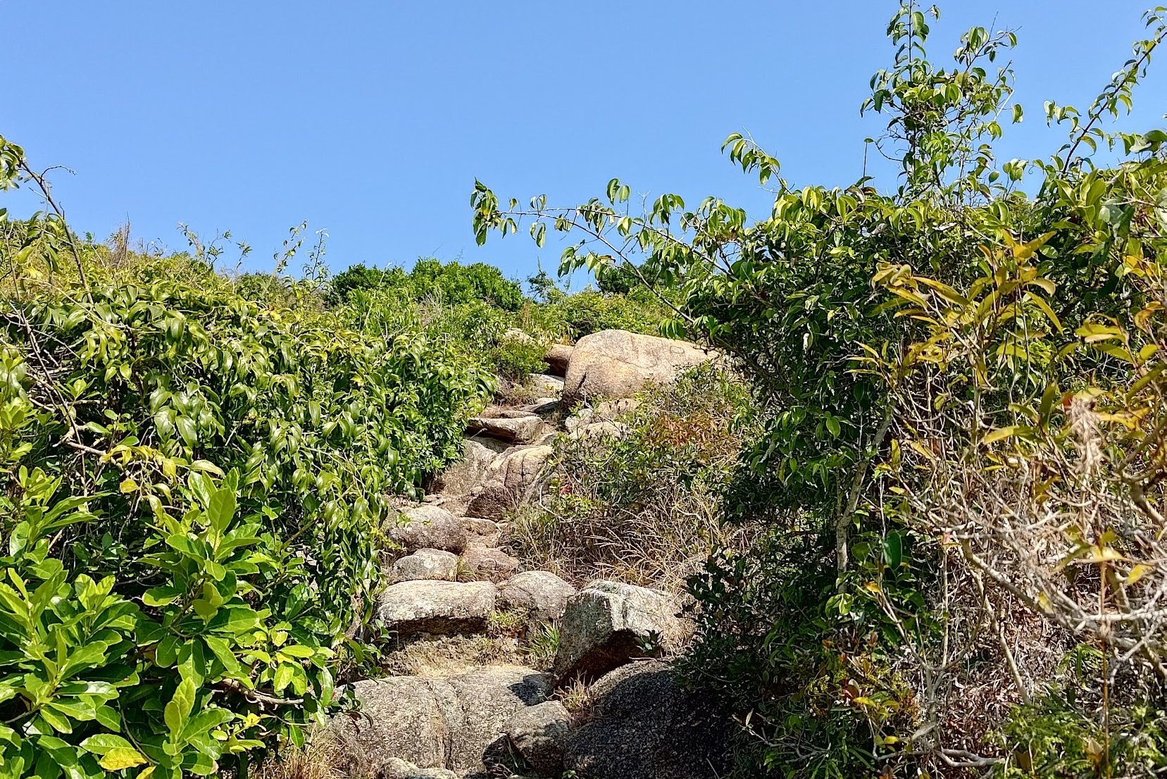
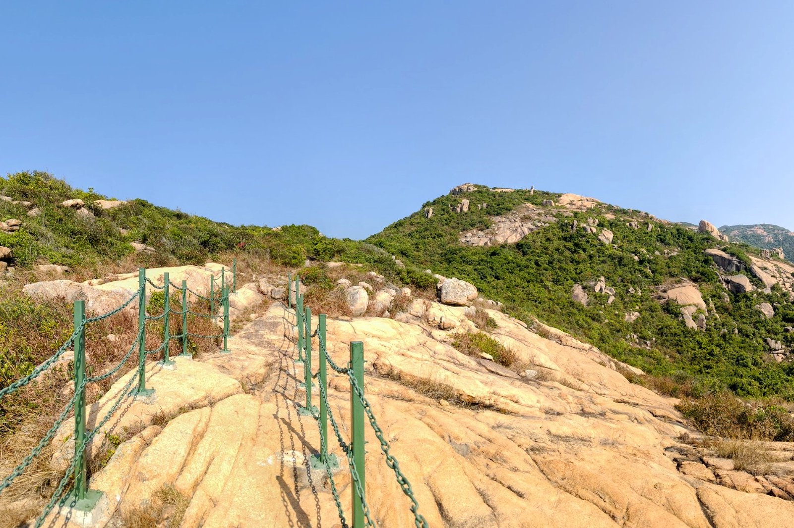
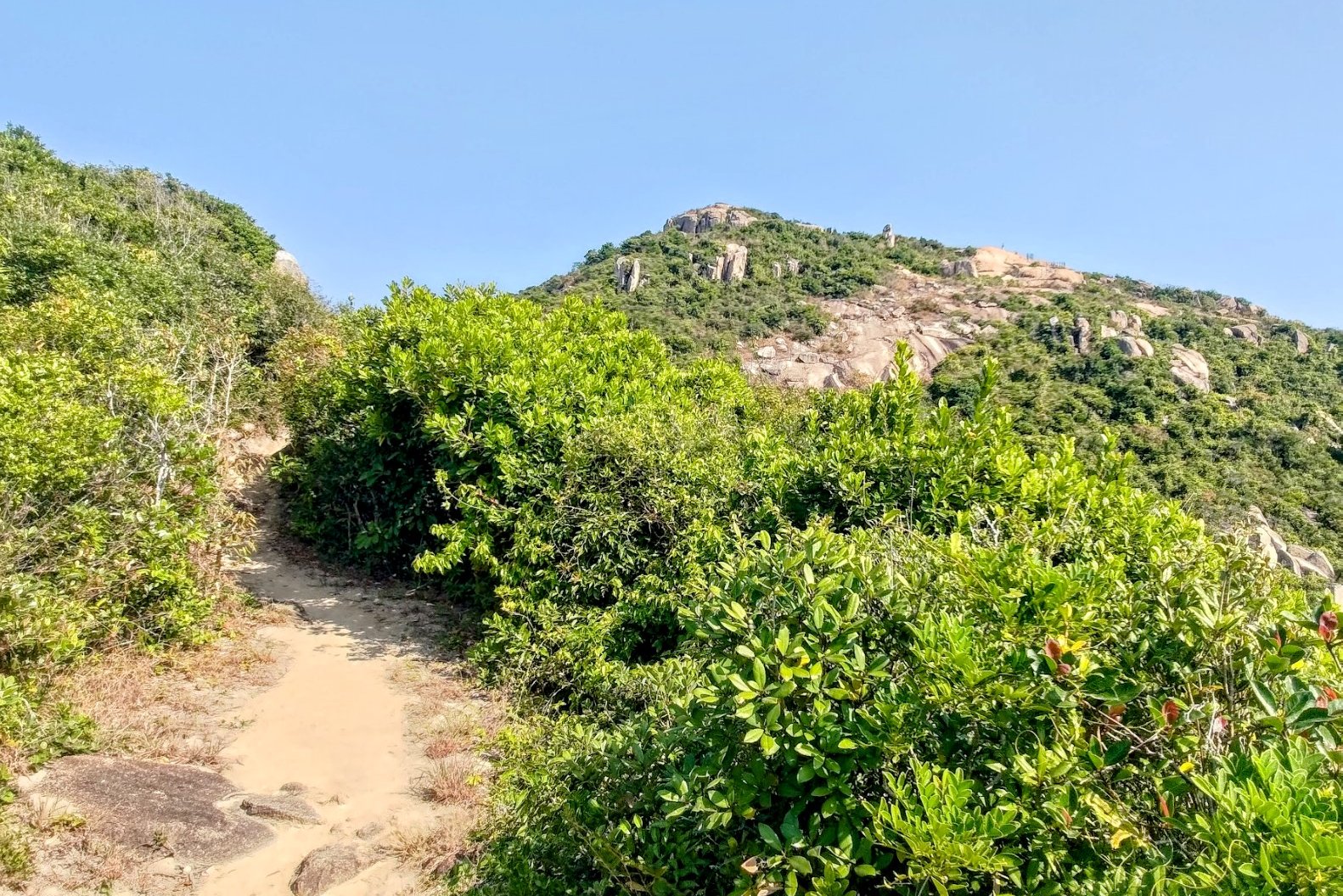
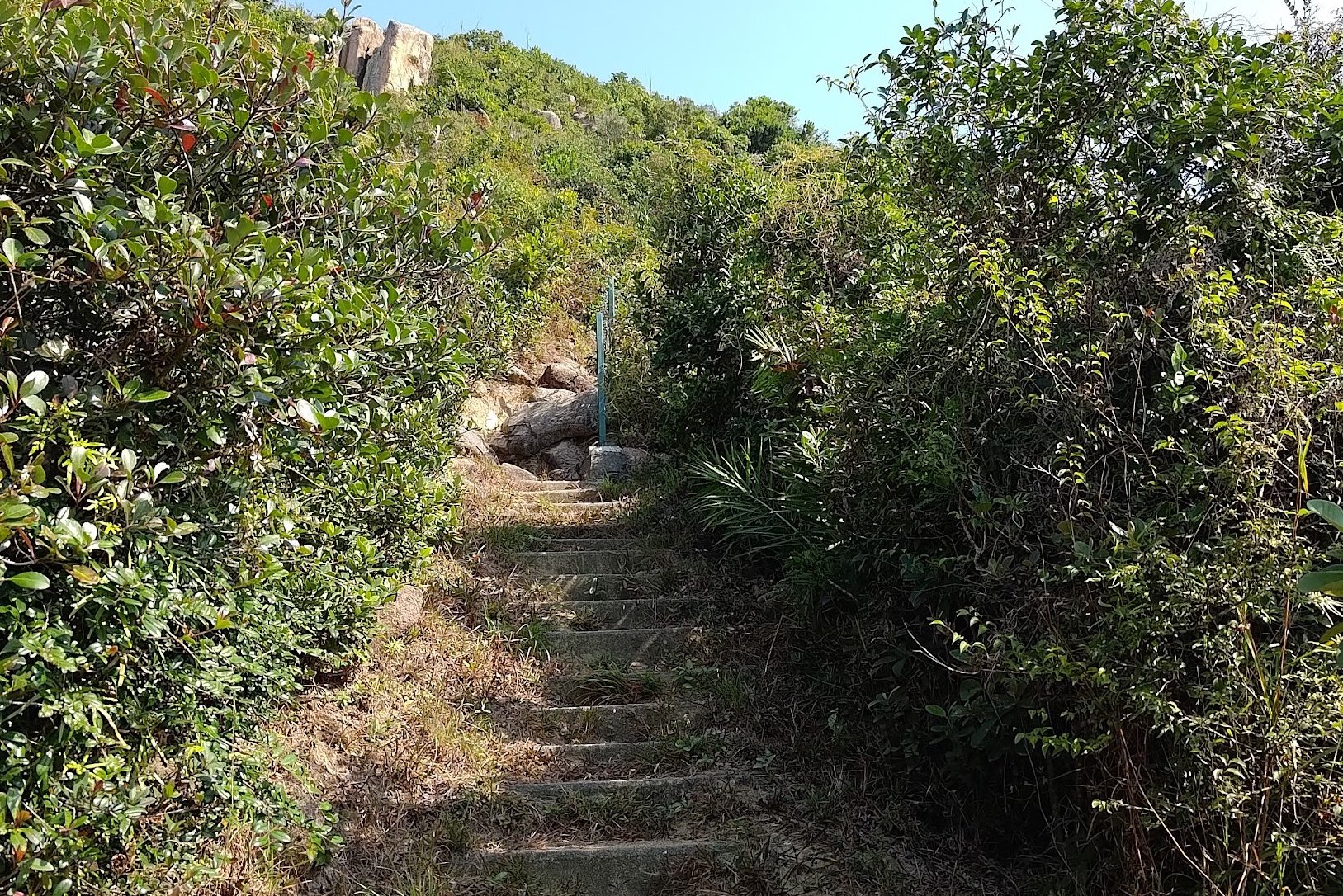
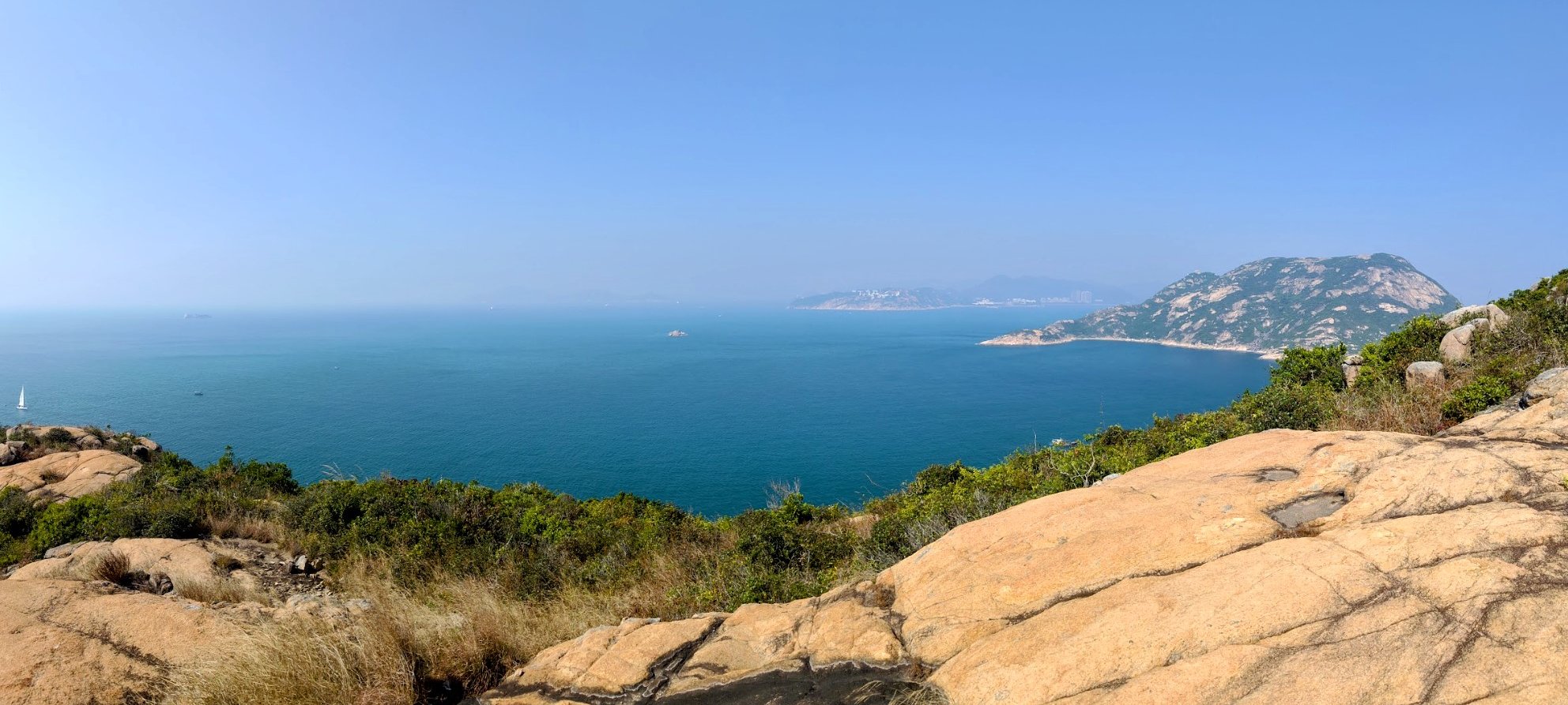


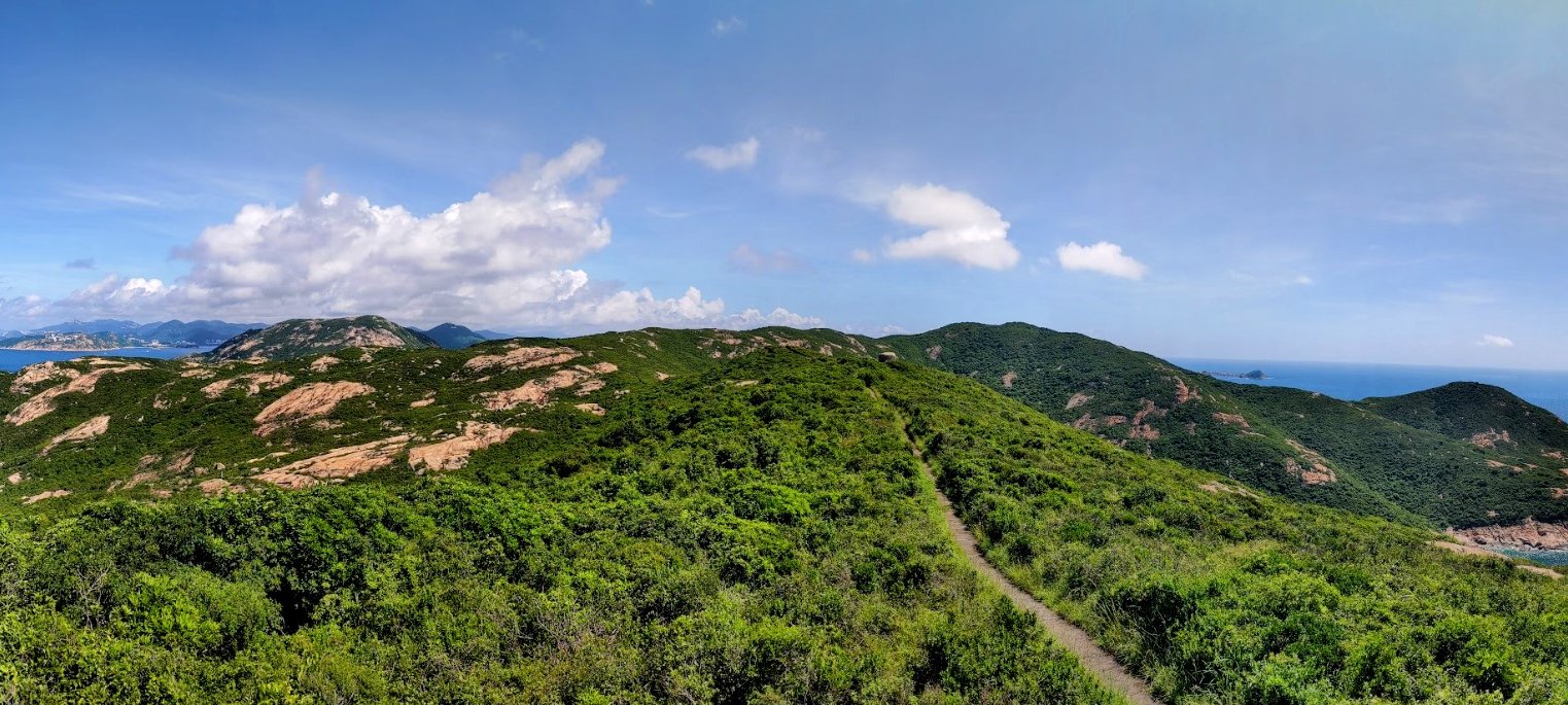

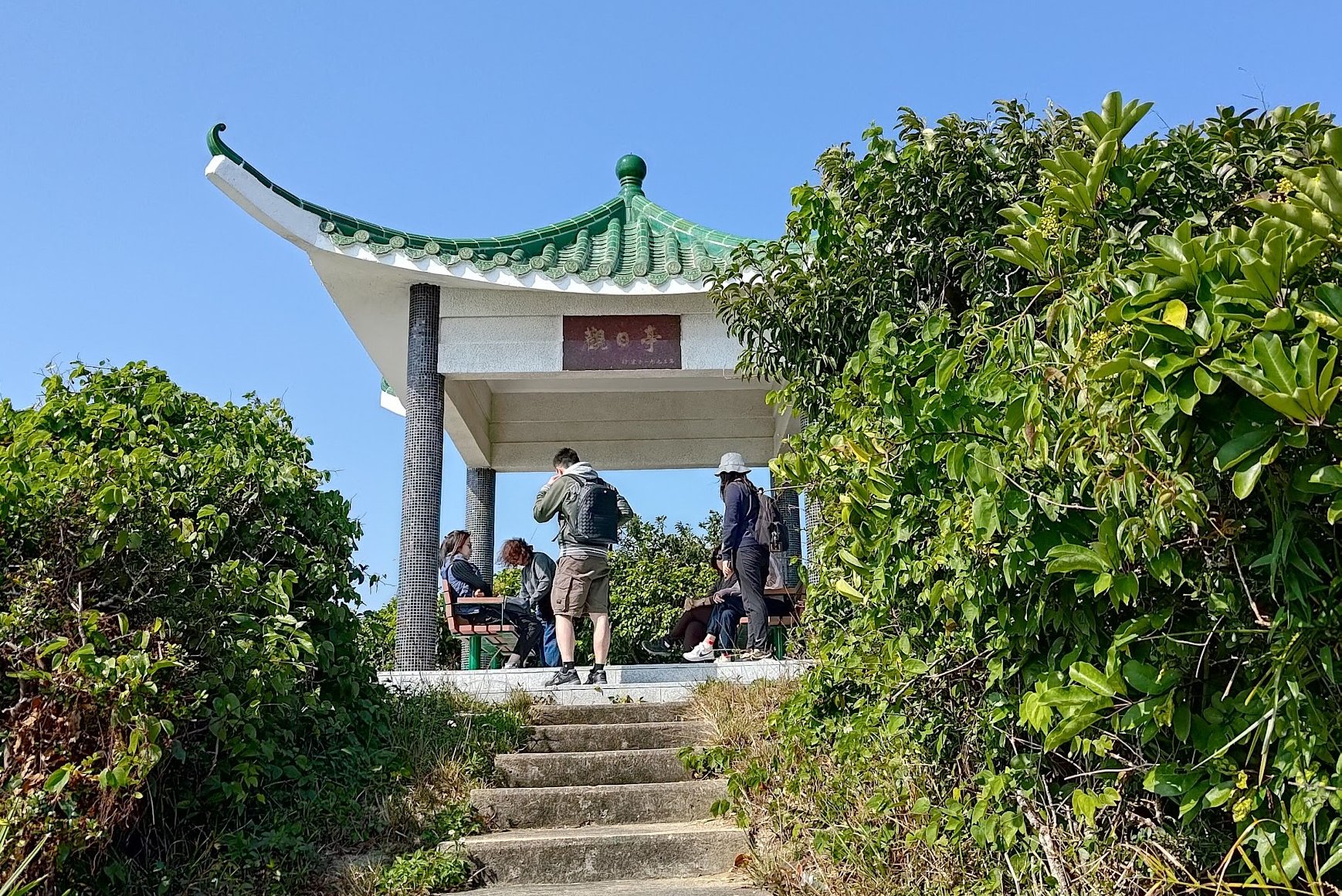
The entire climb to the pavilion takes around 1 hour.
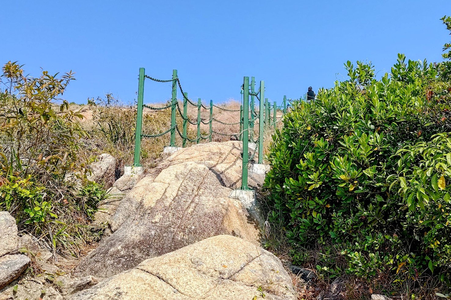
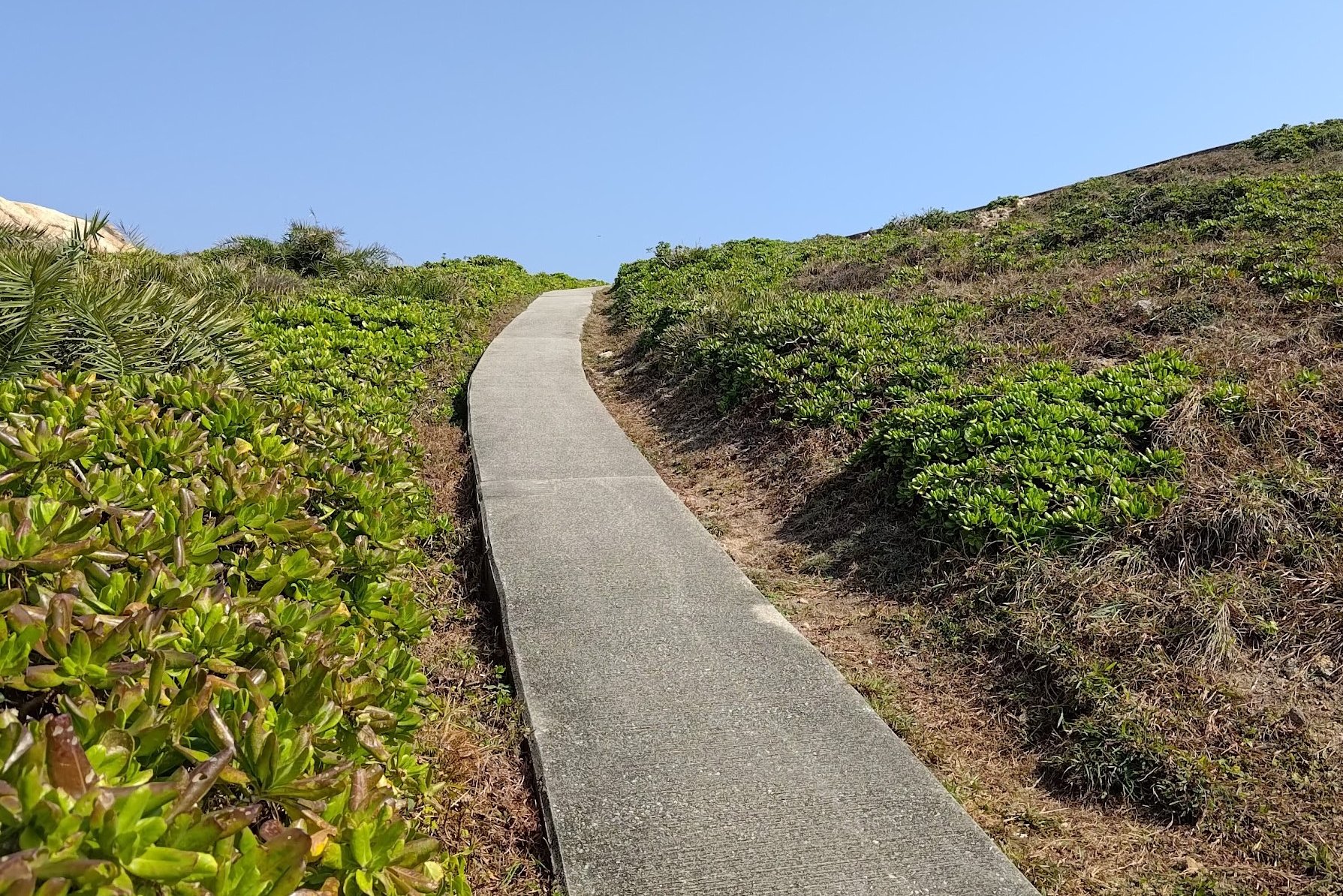
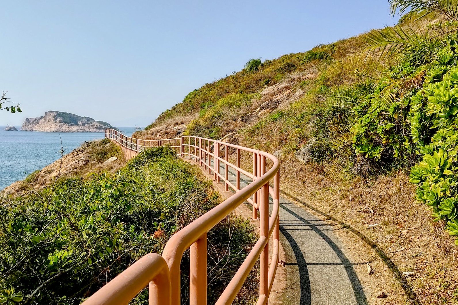
The entire route revolves around plenty of uphill, following signs pointing to the "Pavilion" and sticking to the green railings when they're available.
The way to the pavilion is pretty well marked with signs, so it's hard to get lost here.
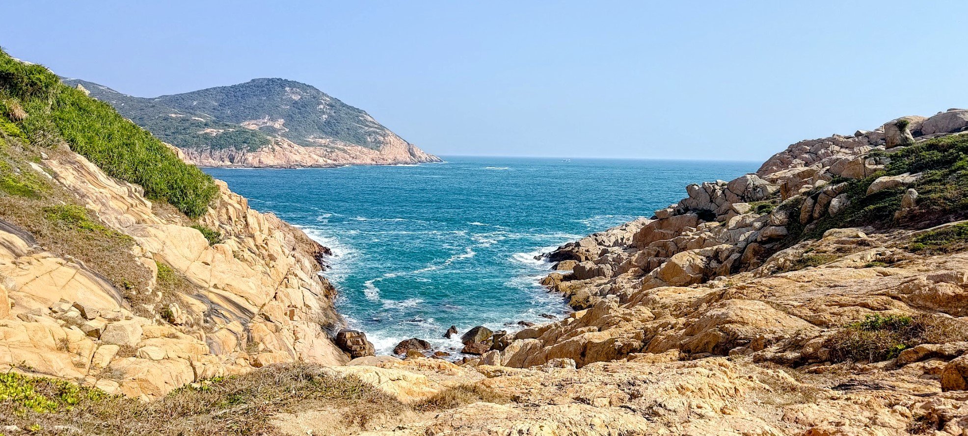
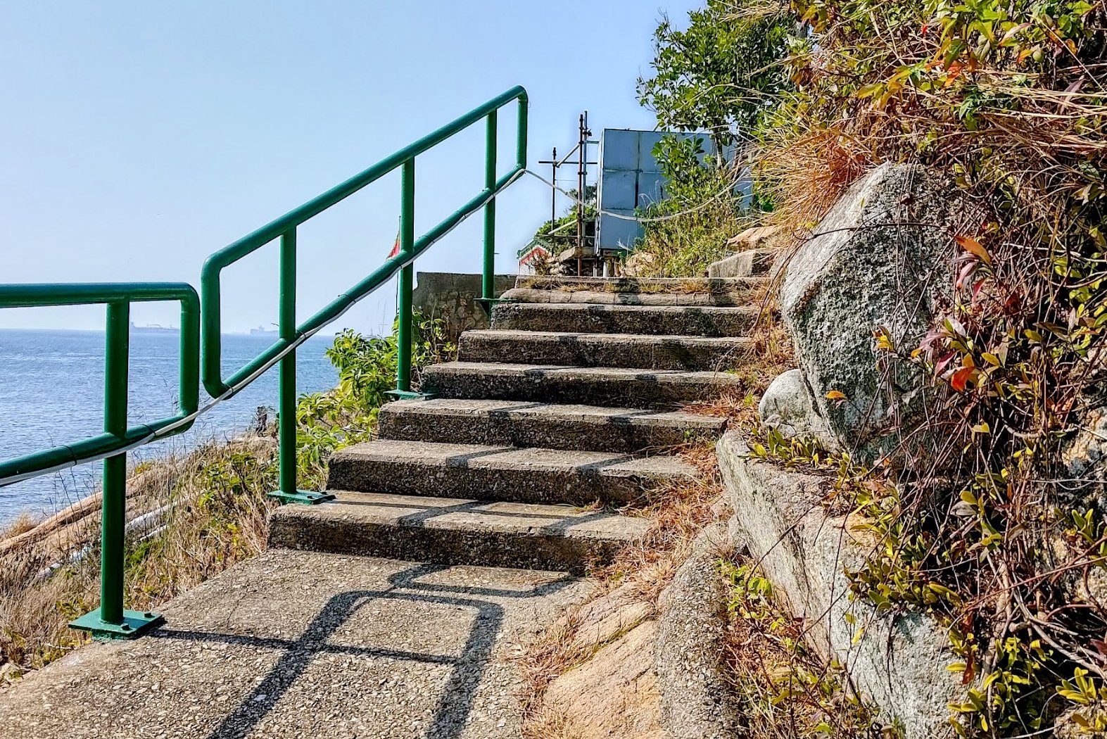
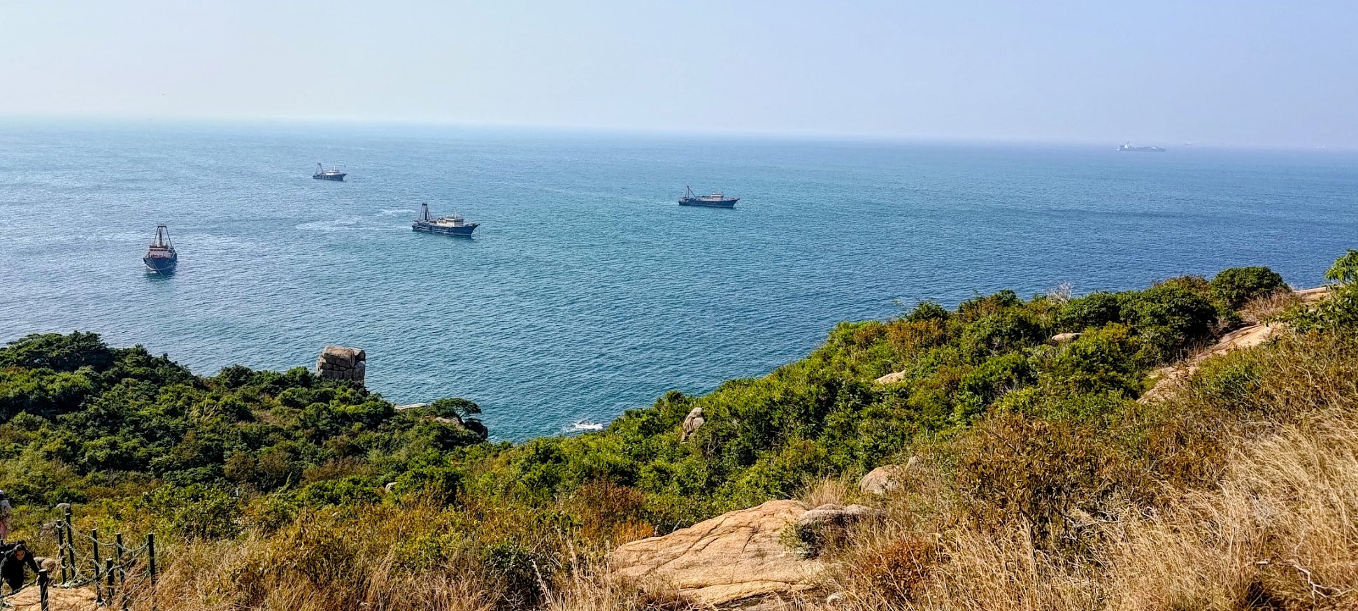
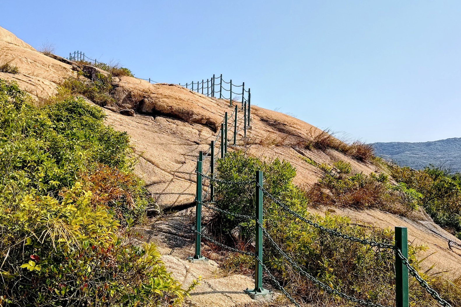
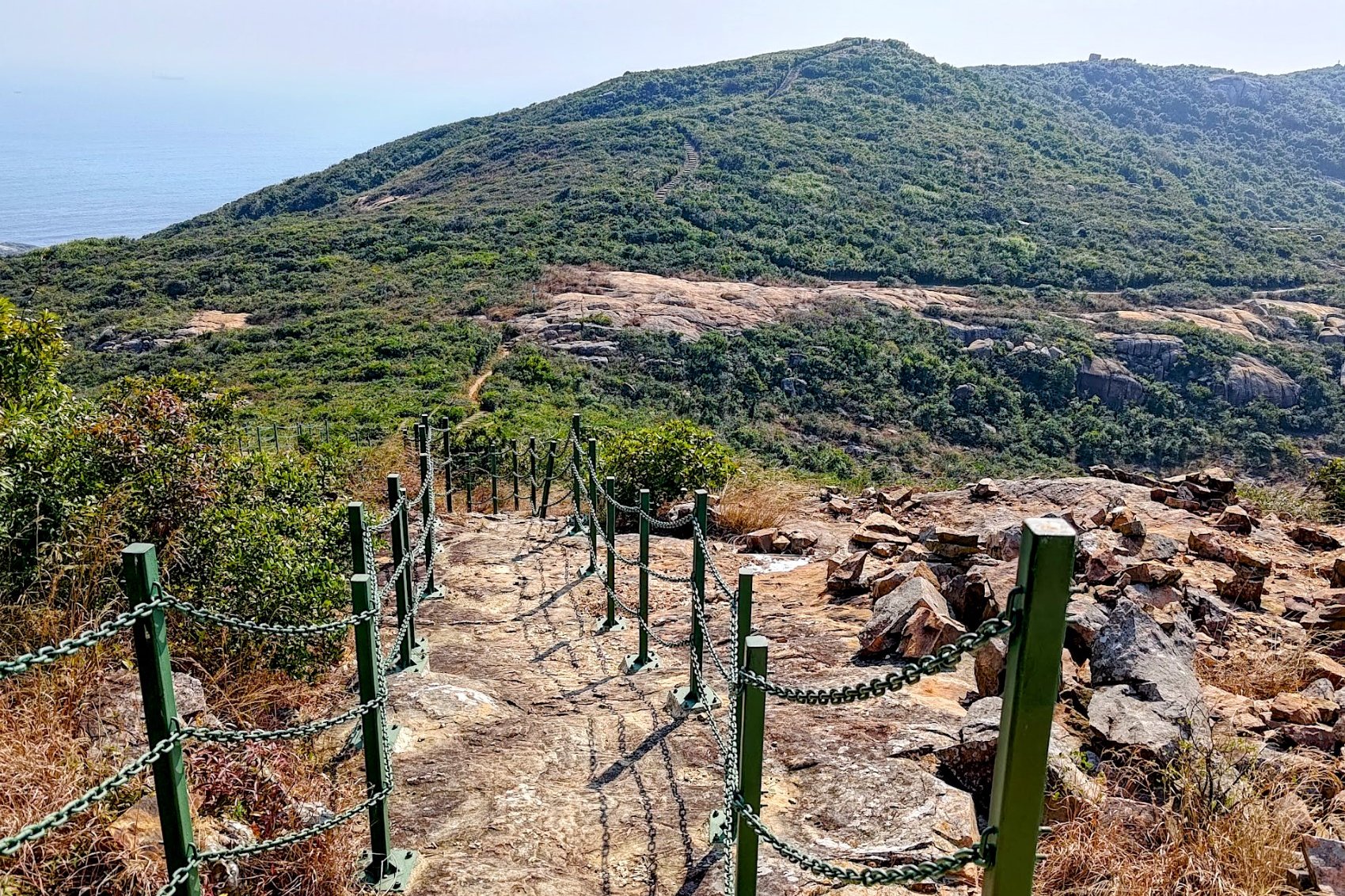
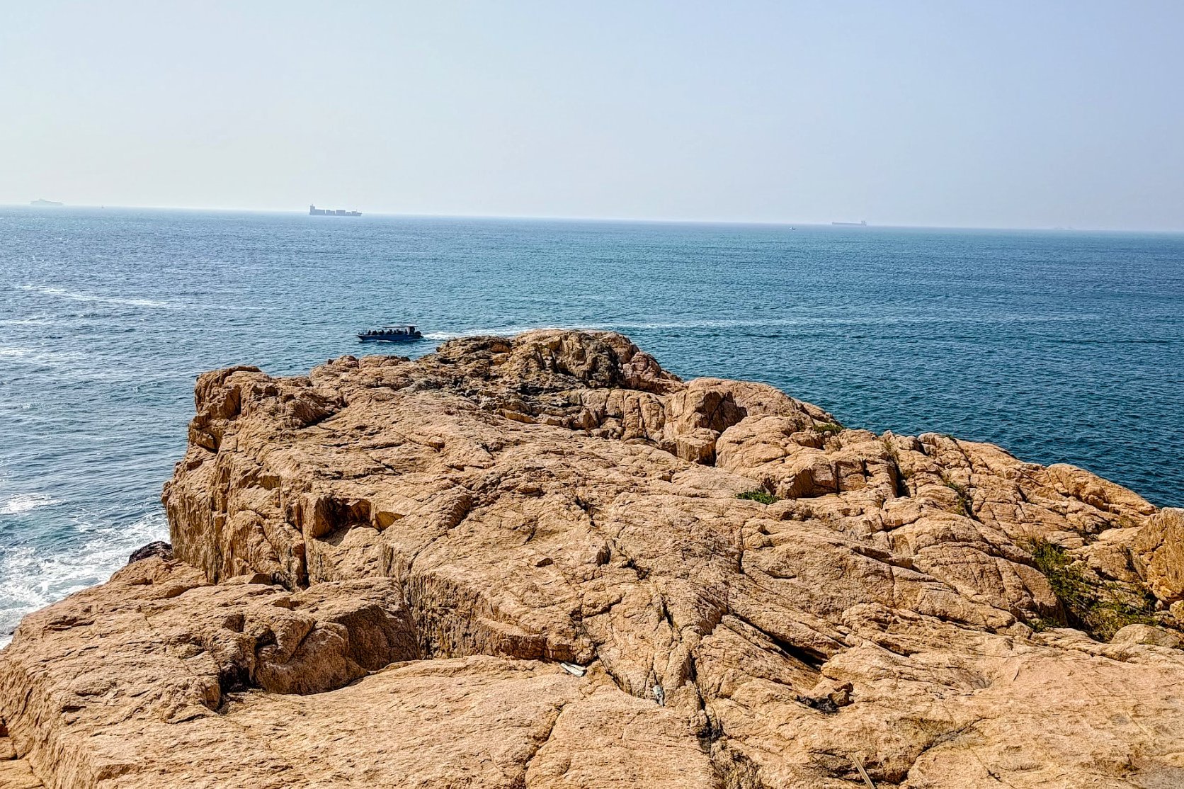
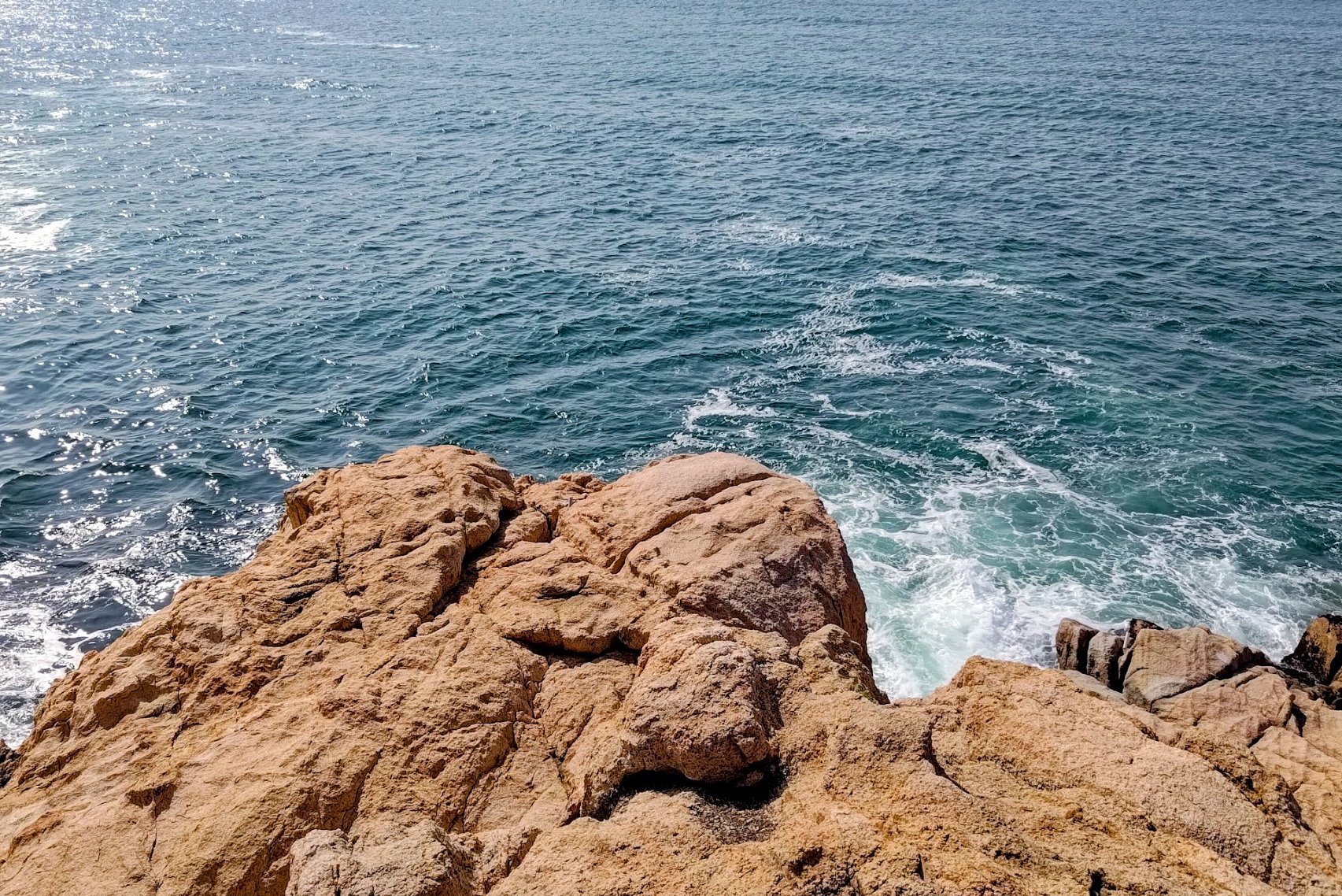
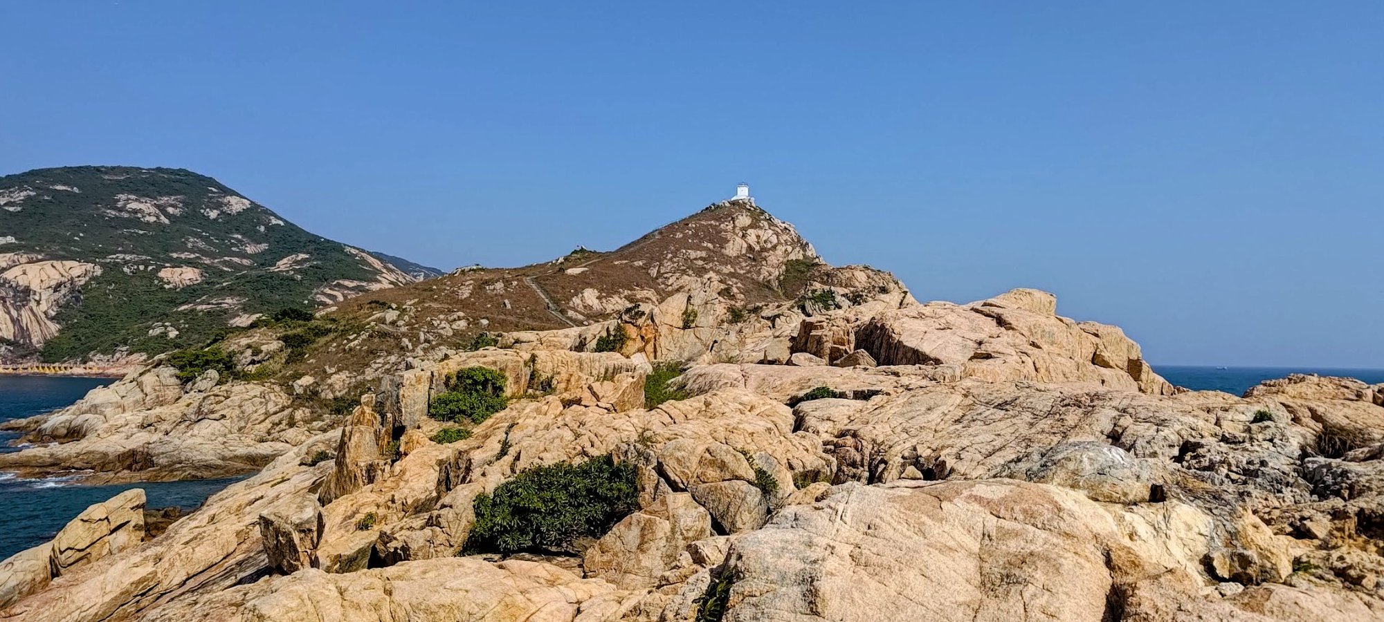
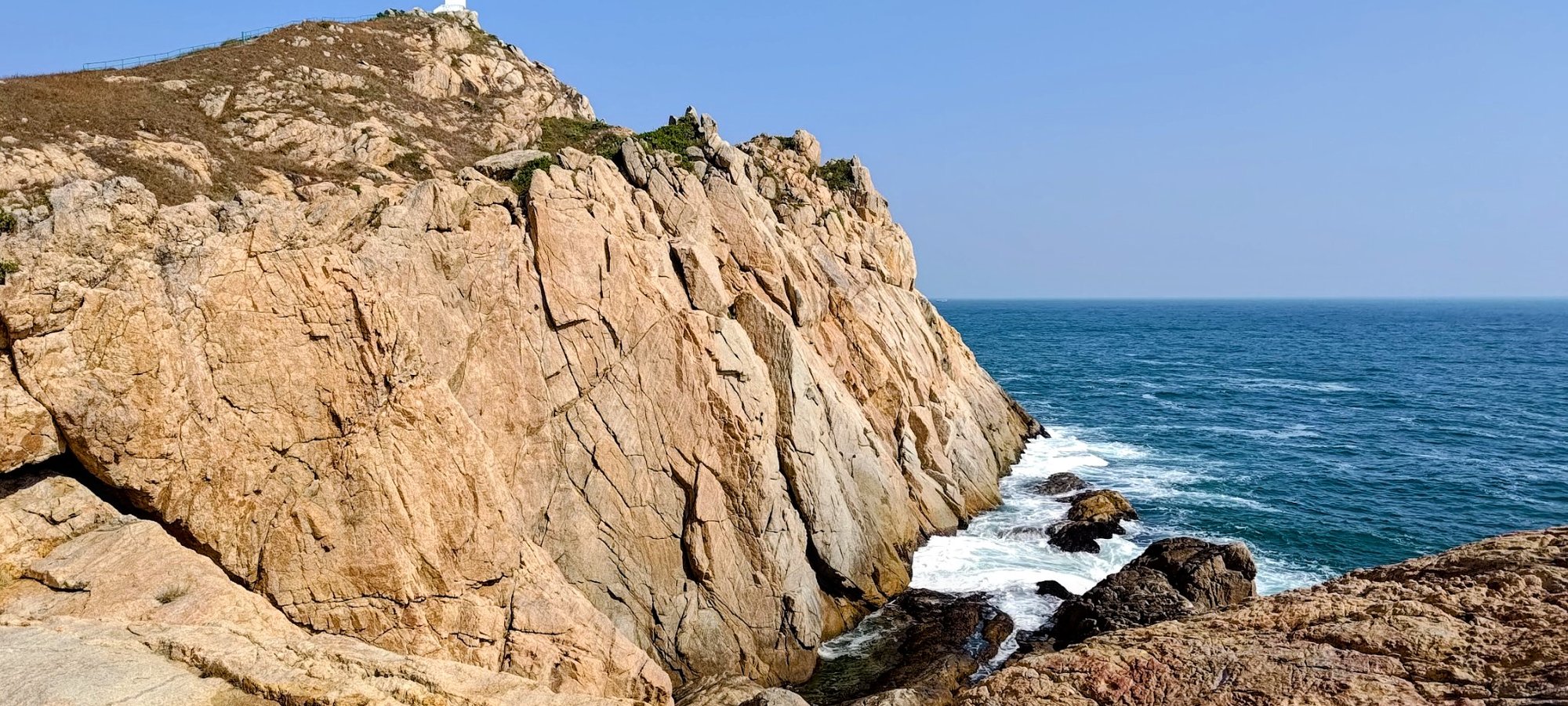
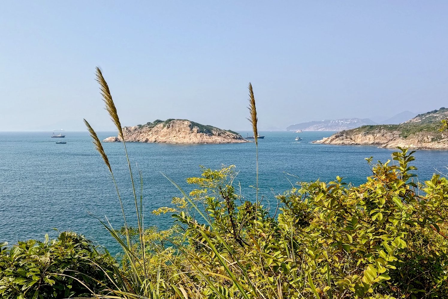
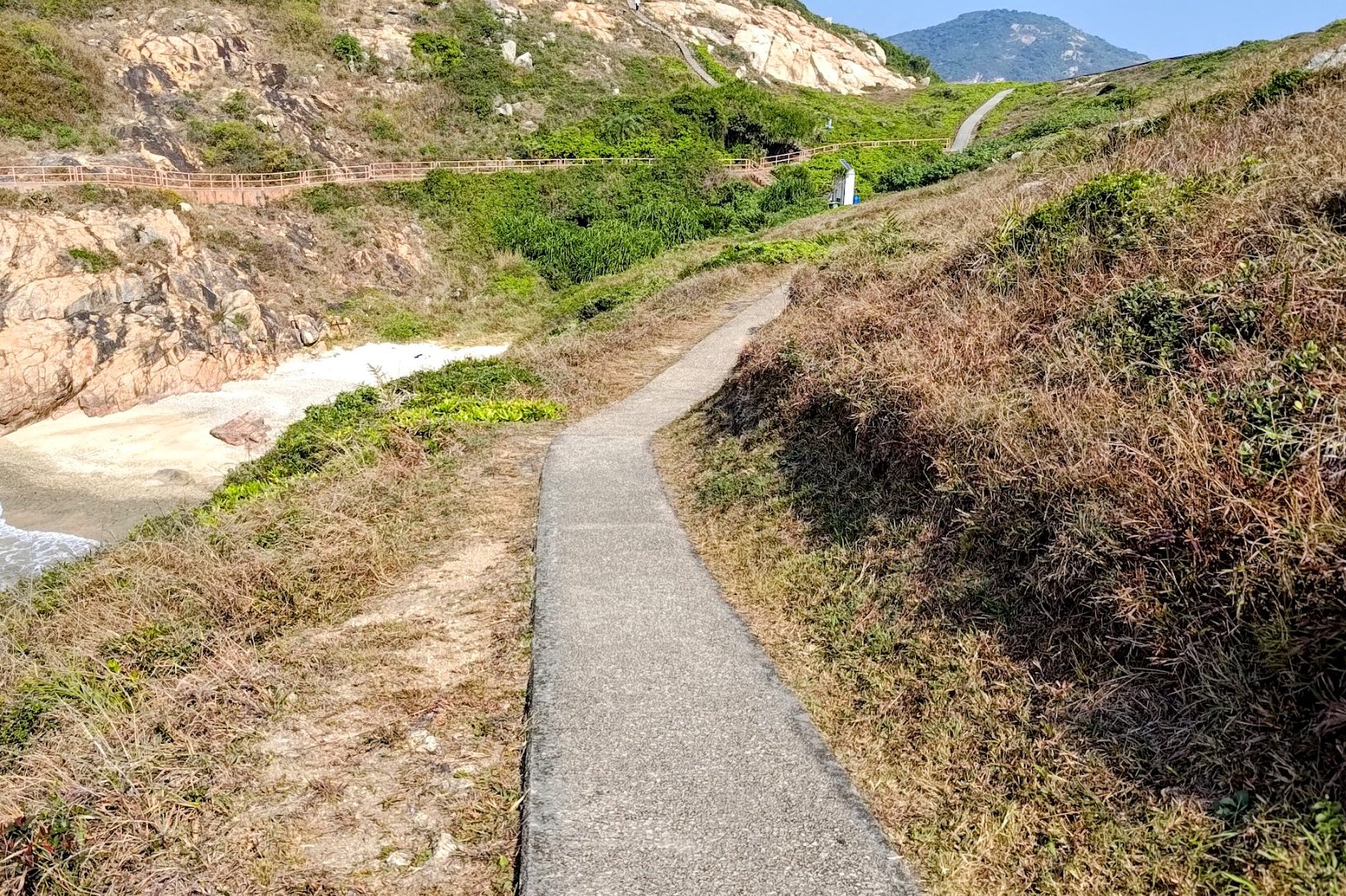
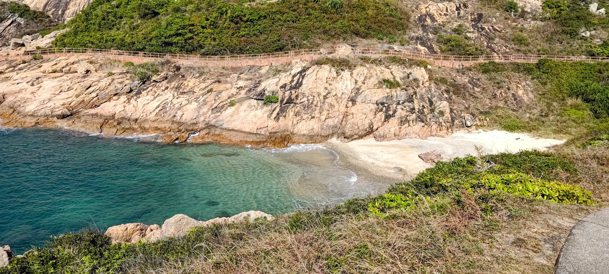
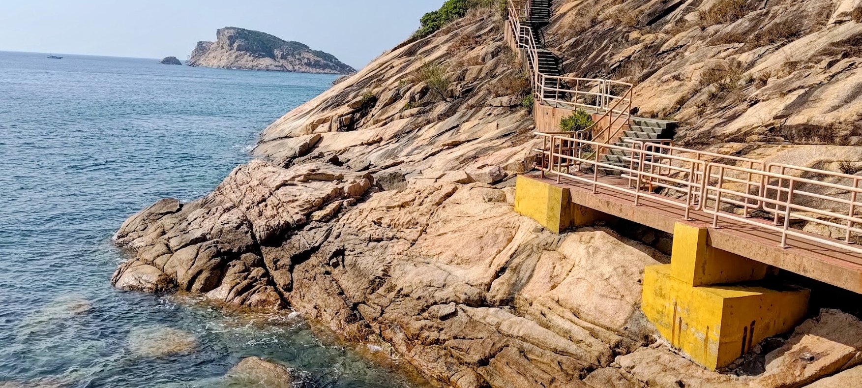
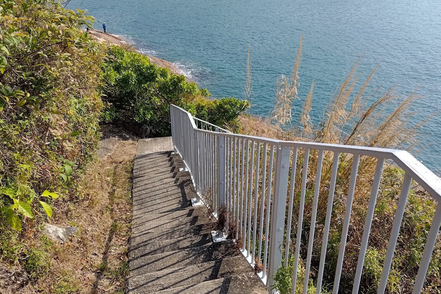
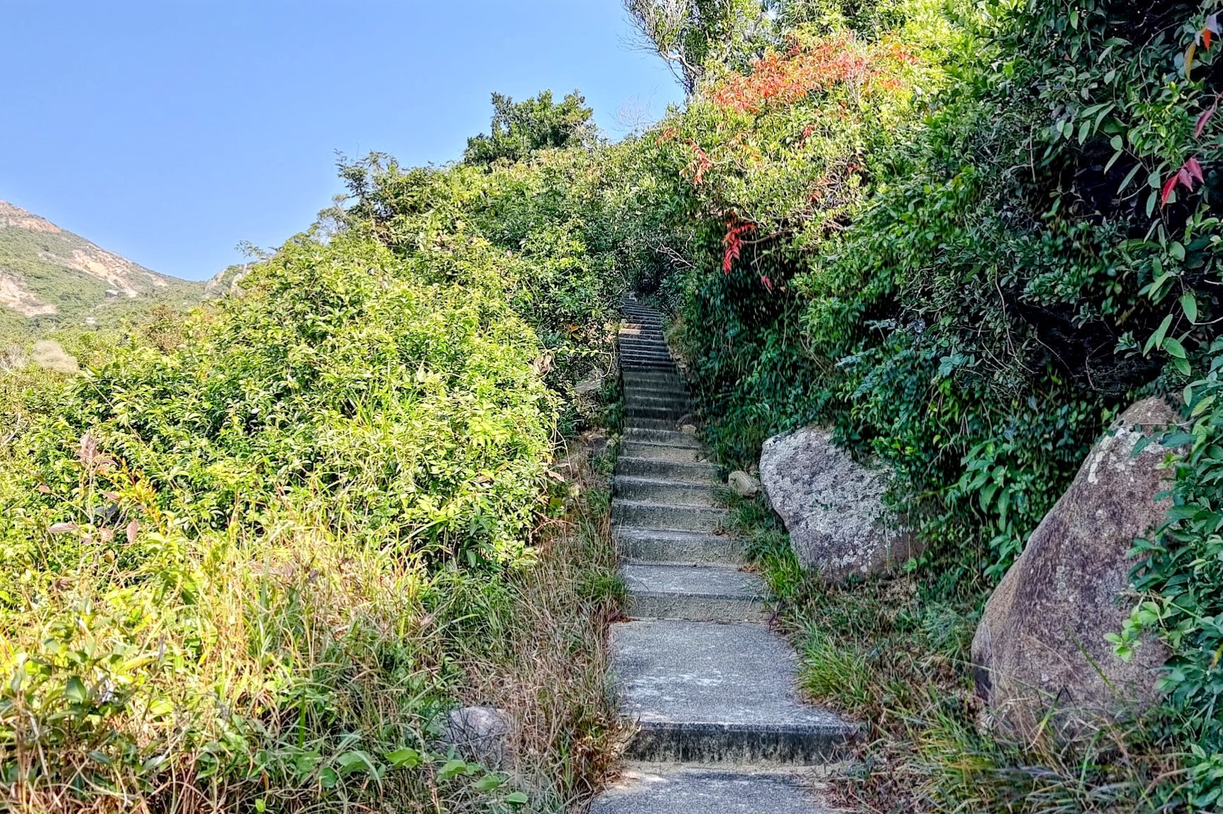
The Climb Down to Nam Kok Tsui Lighthouse
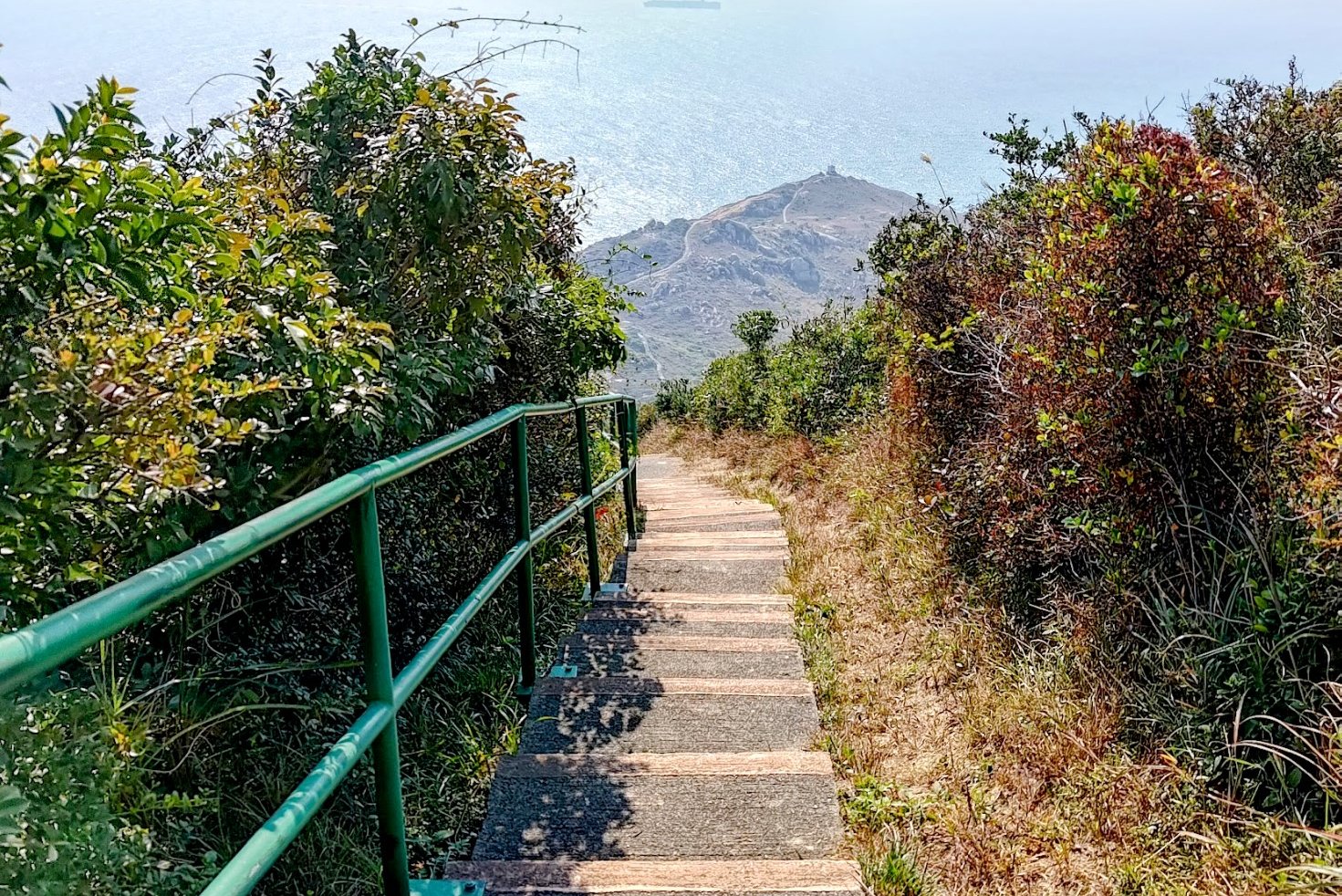

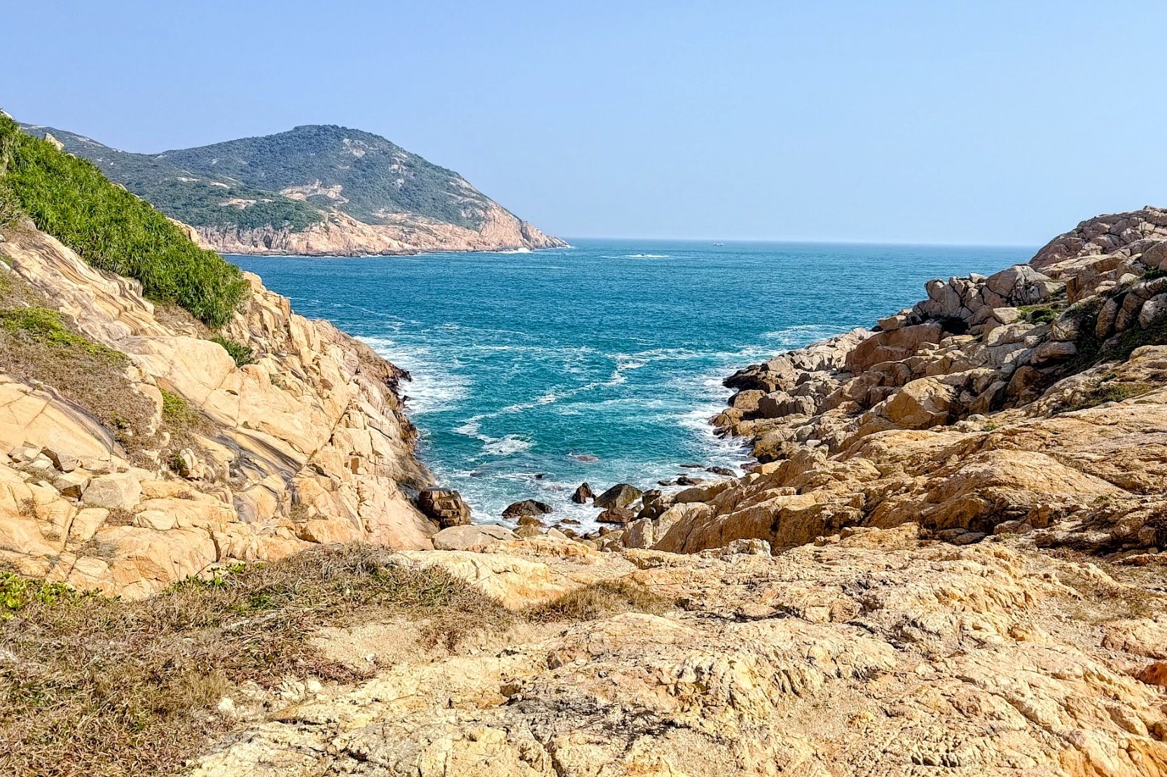
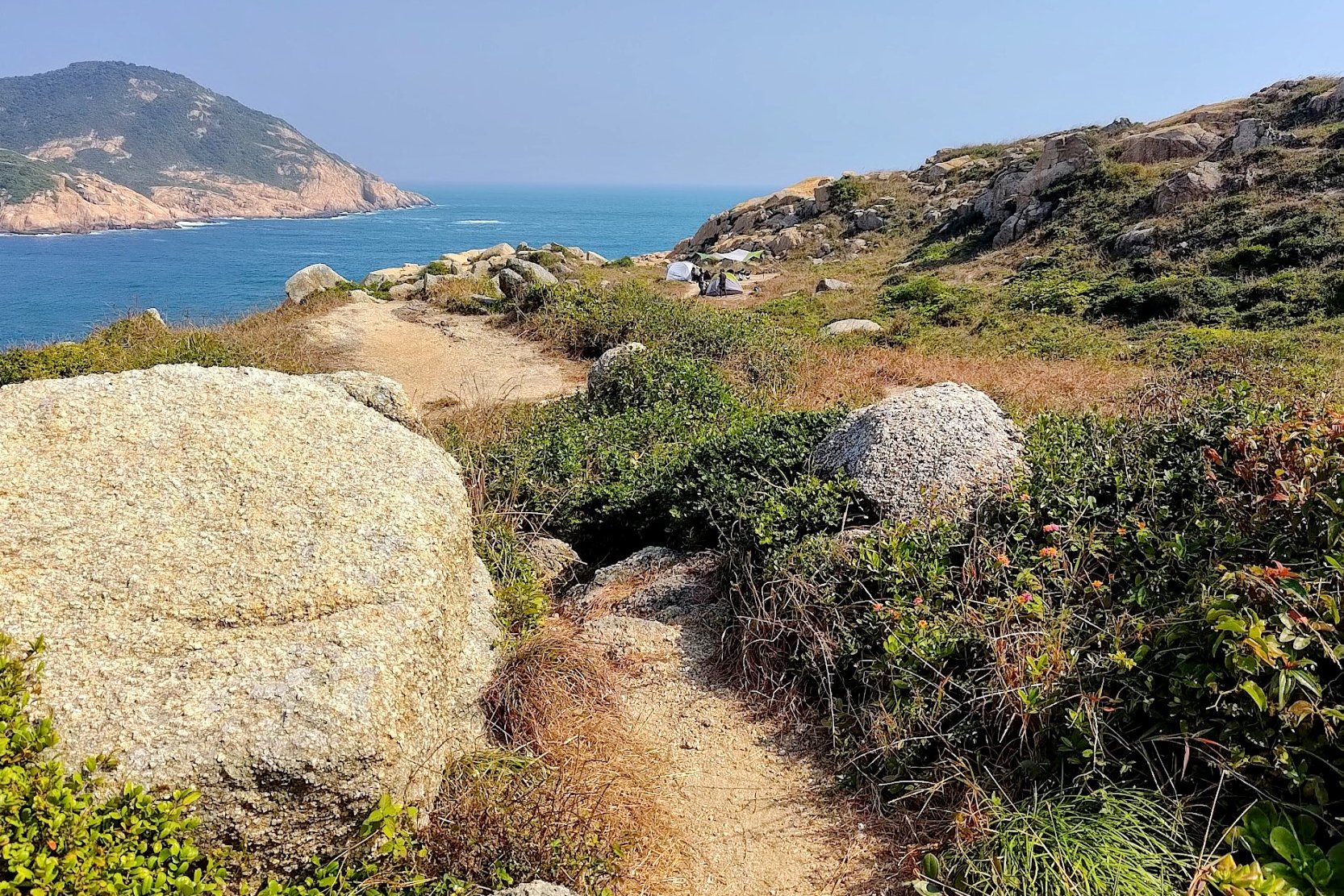
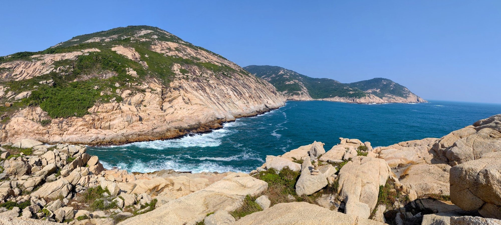

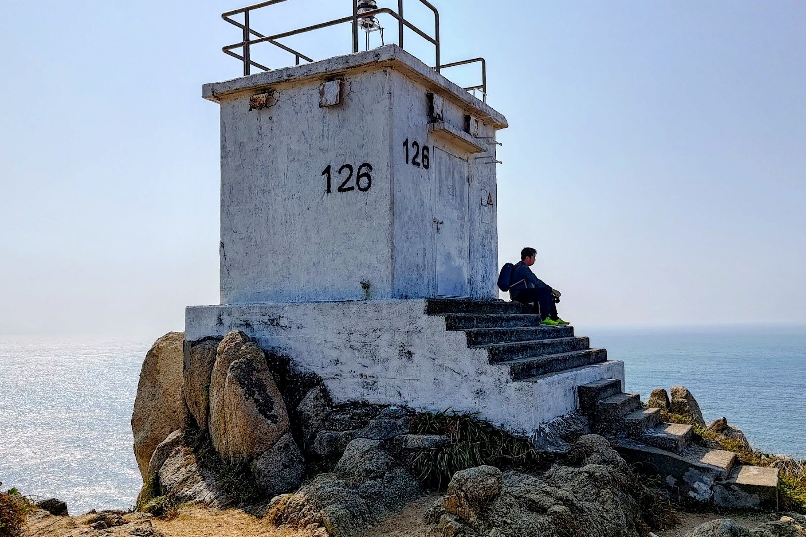
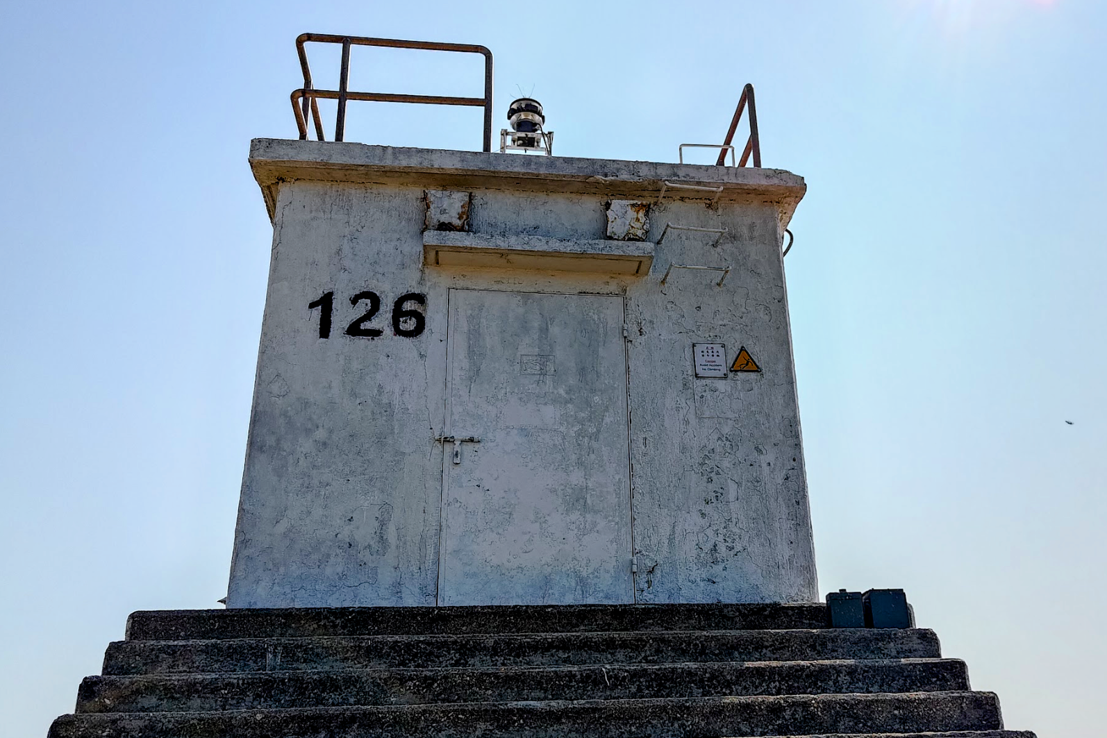
Getting to the lighthouse takes 30-40 minutes, depending on whether you decide to explore and find additional coastal views.
If you strictly stay on the path and don't deviate at all, you can get to the lighthouse faster. Speaking of which, Nam Kok Tsui Lighthouse is Hong Kong's southernmost active lighthouse and was built in the 1970s!
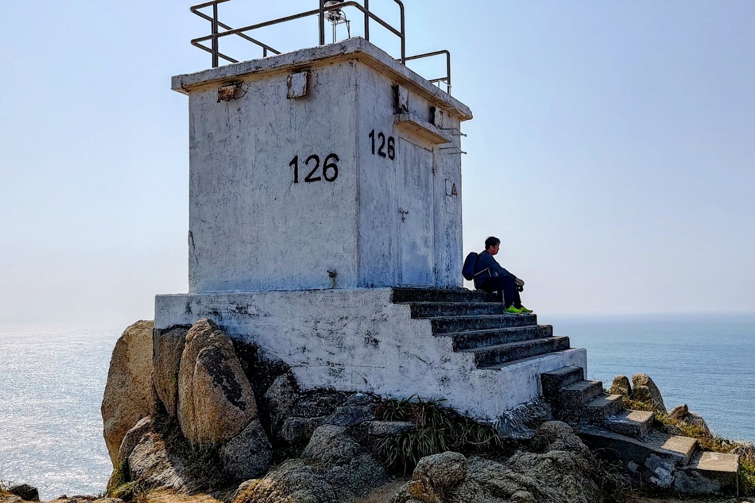
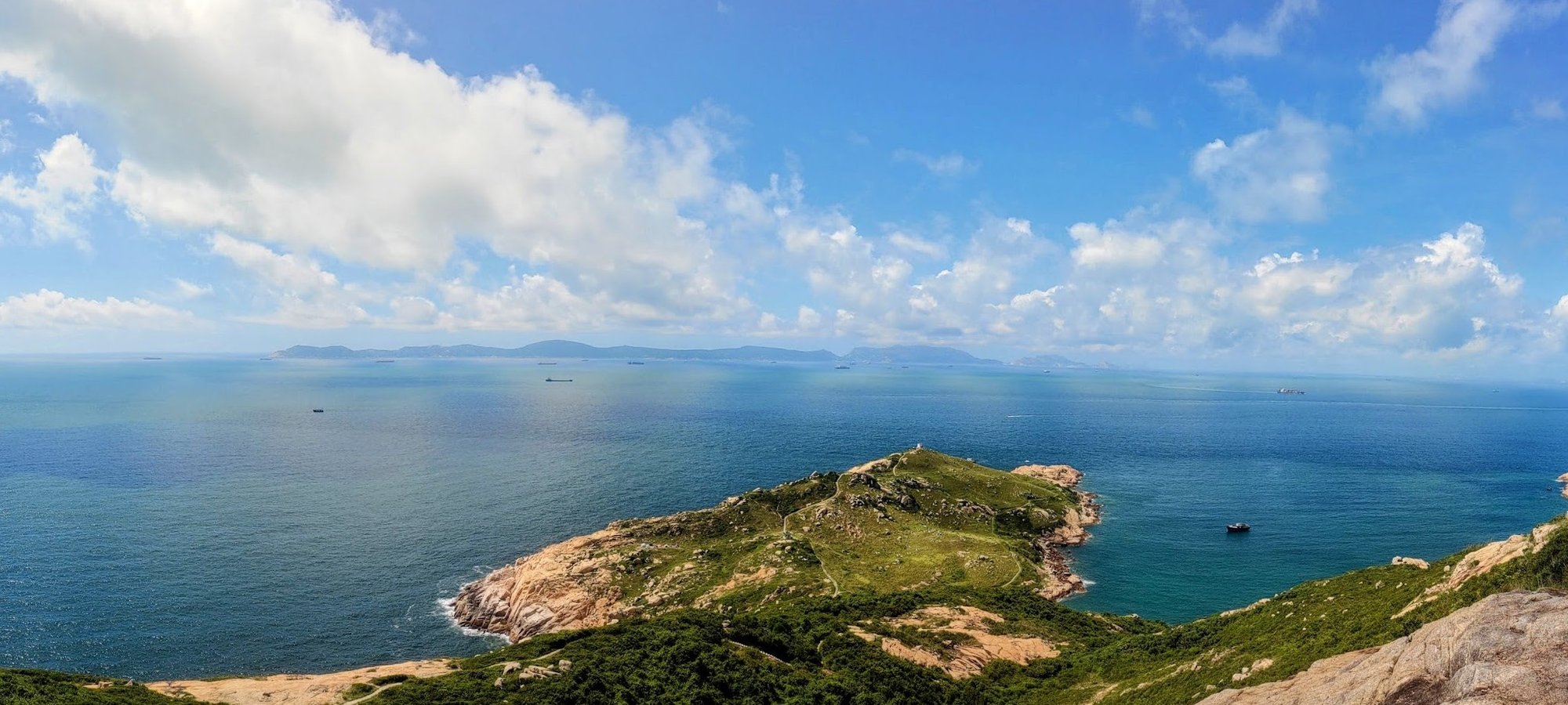
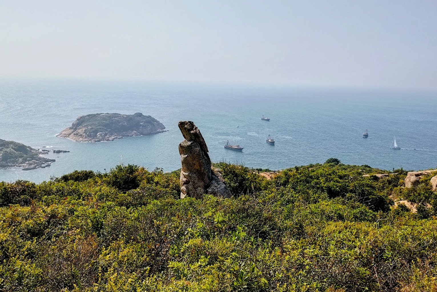
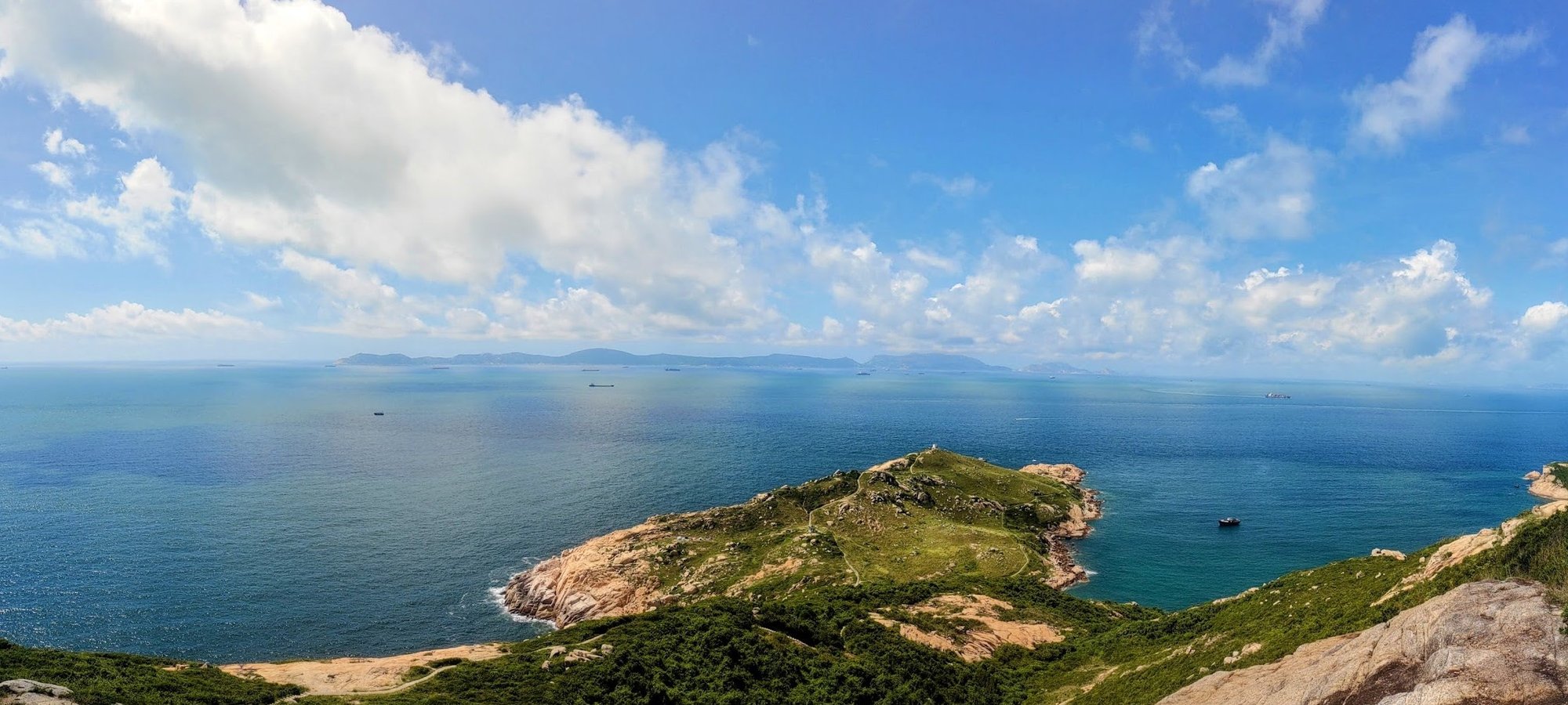
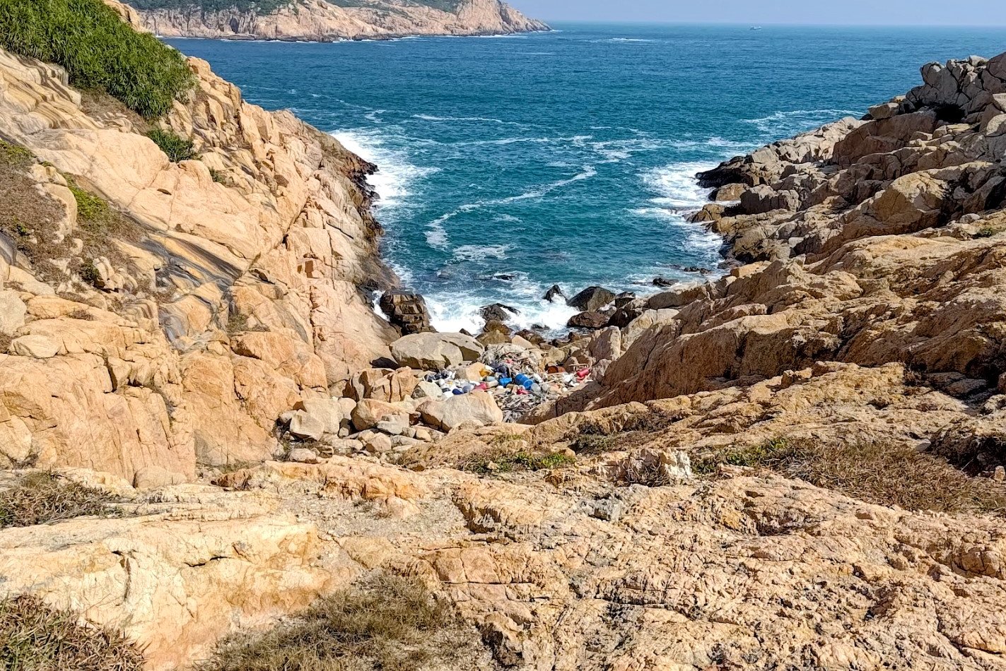
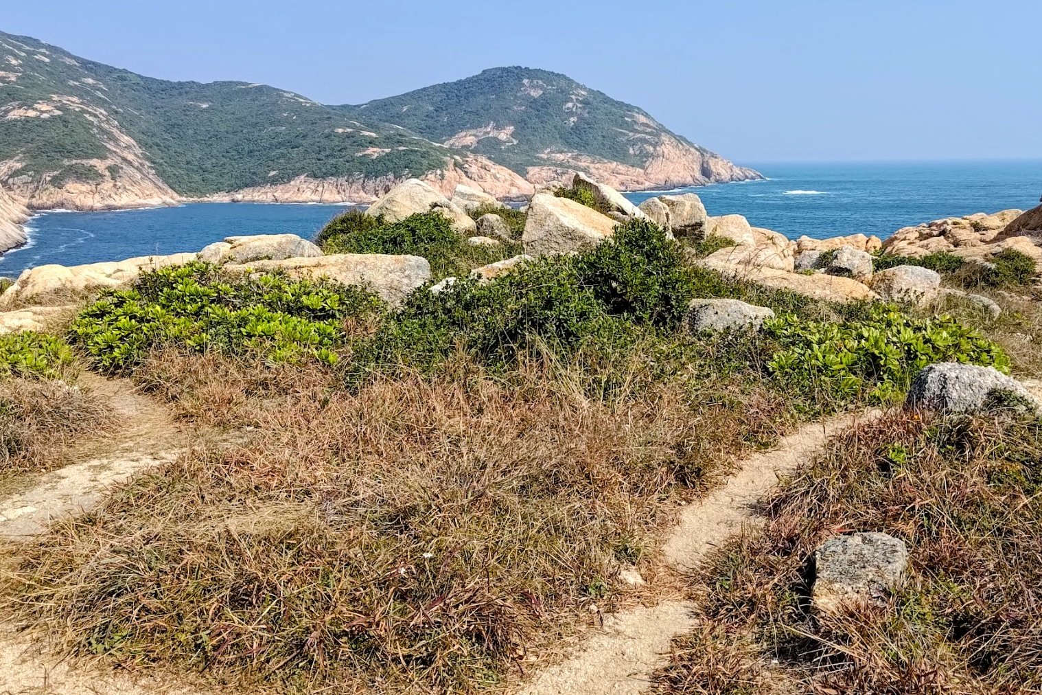
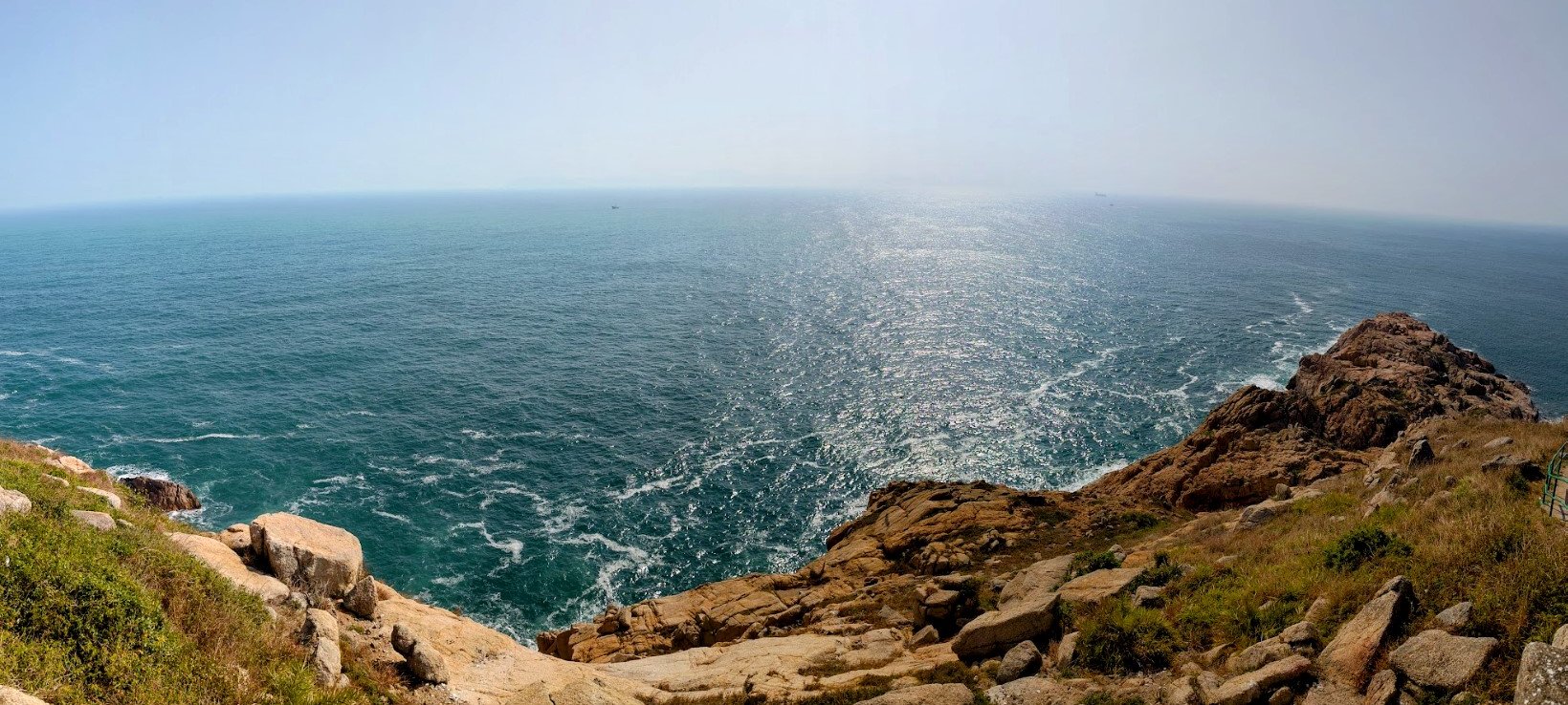
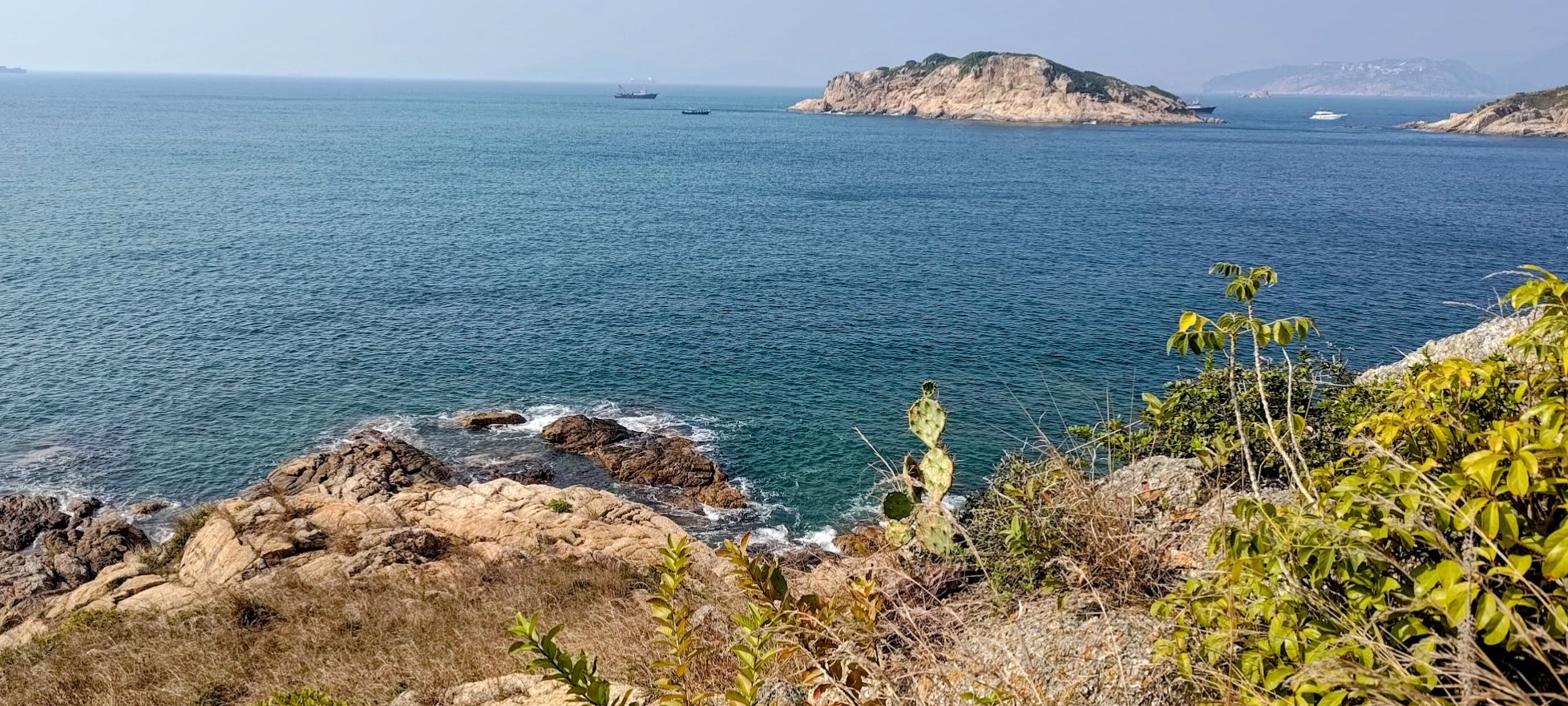
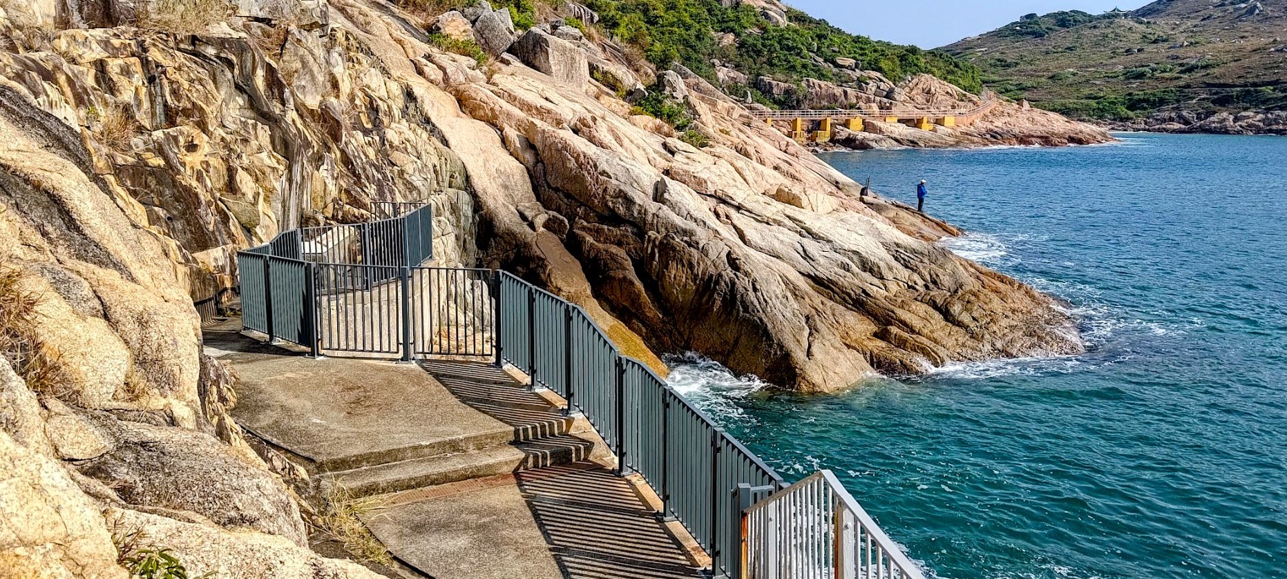
Nam Kok Tsui, Most Southern Part of HK (Optional)
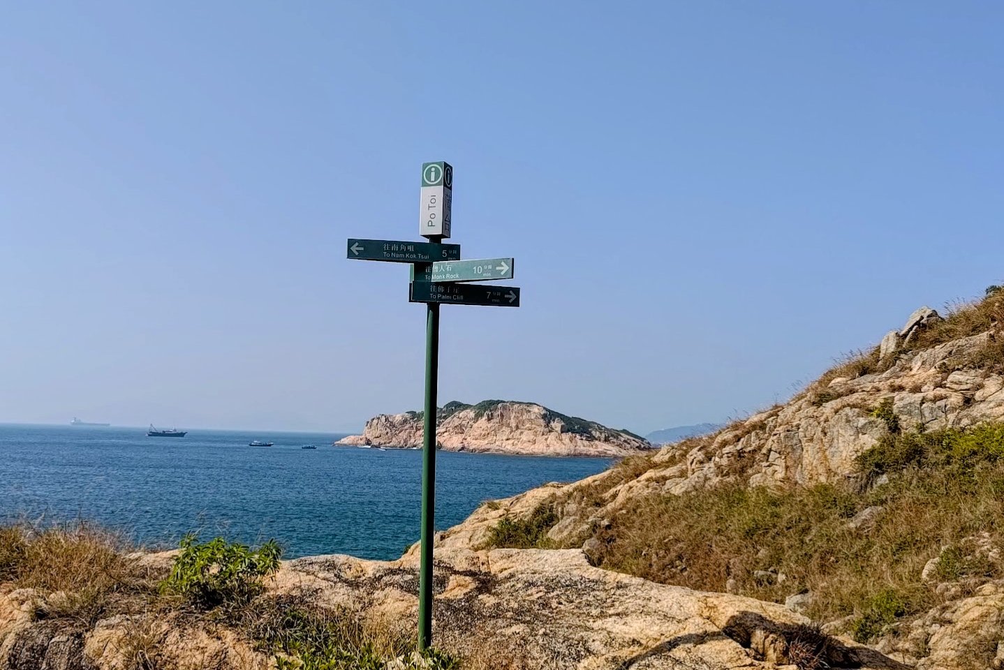
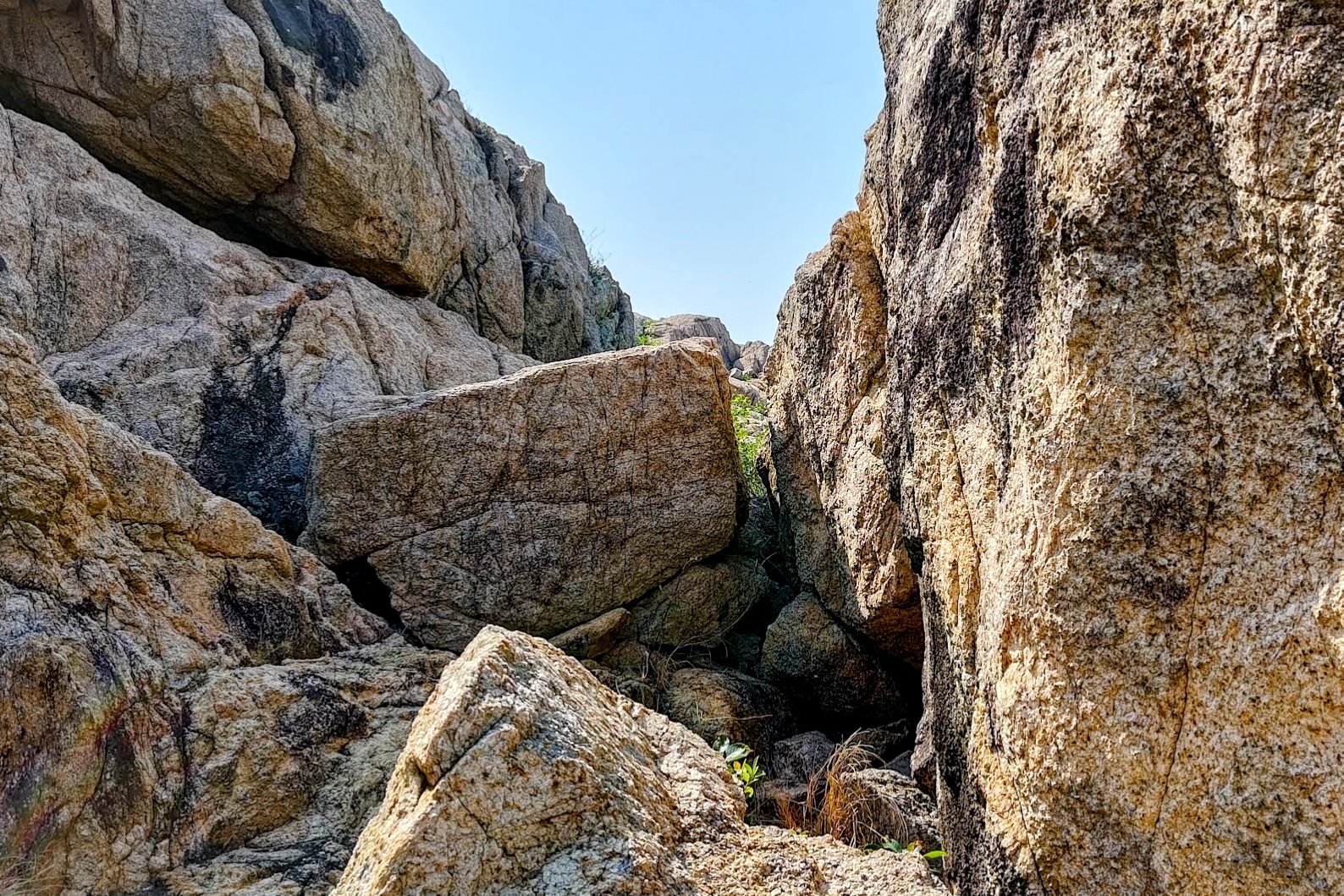

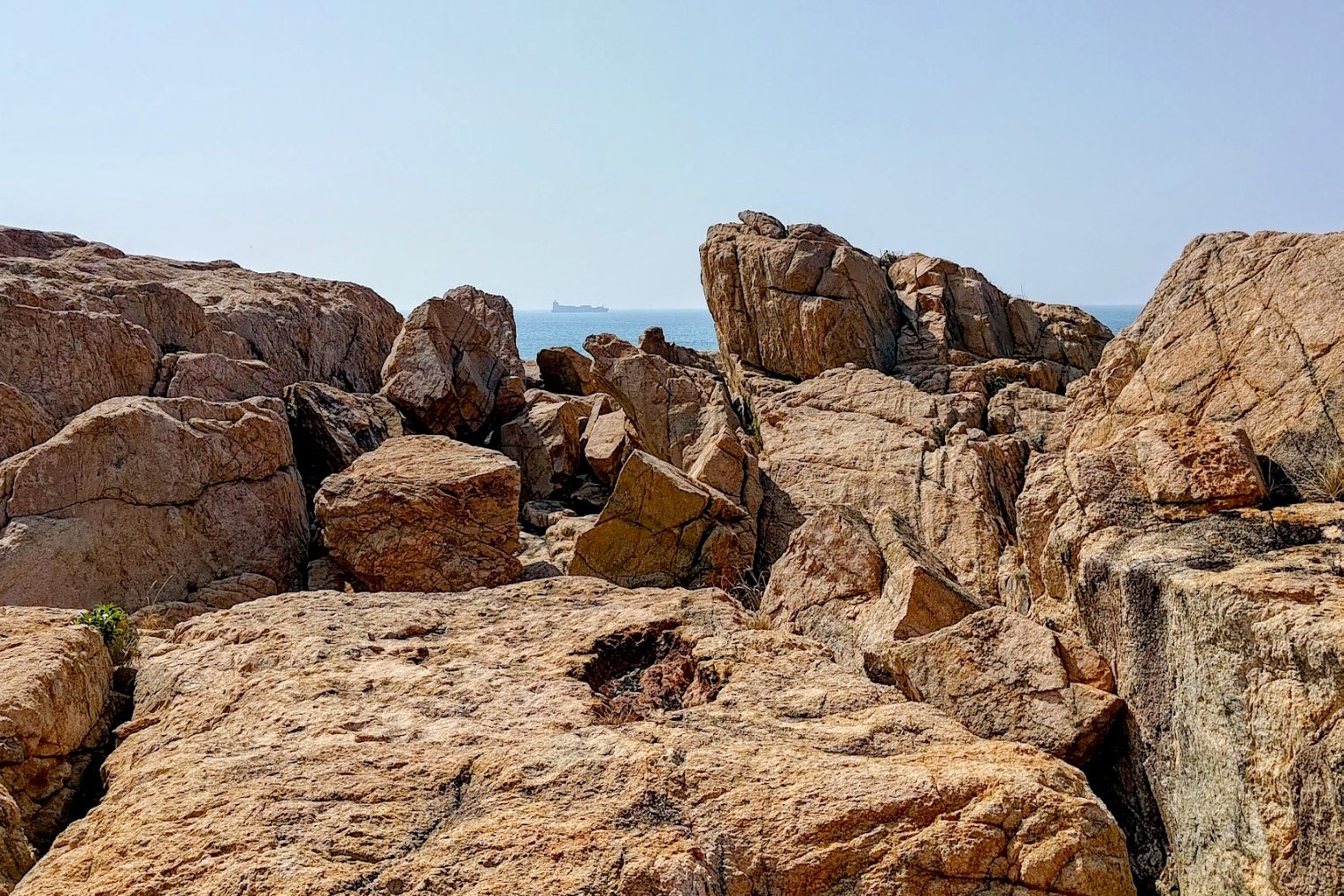
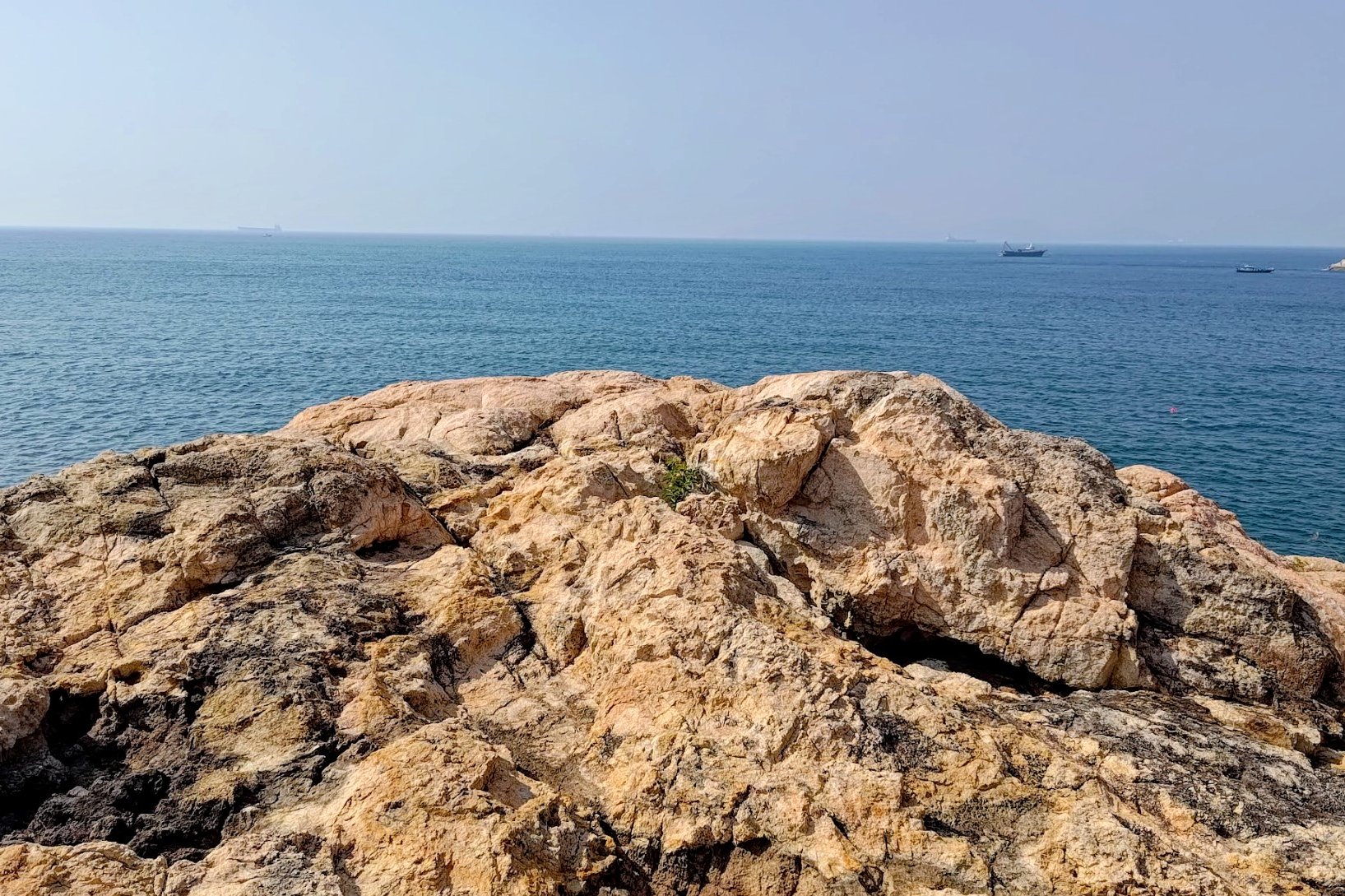
This optional detour is pretty cool and took me about 15 minutes. There's no "correct" path here. Just be safe and make your way through the boulders until you reach the southernmost point in all of Hong Kong!
Return back to the Nam Kok Tsui sign when you're done! What an achievement!
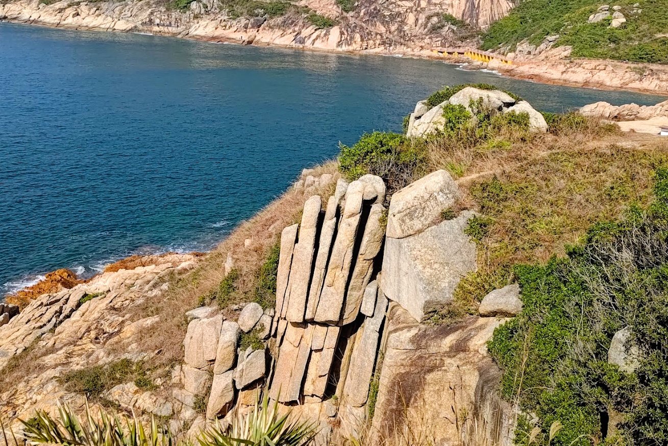
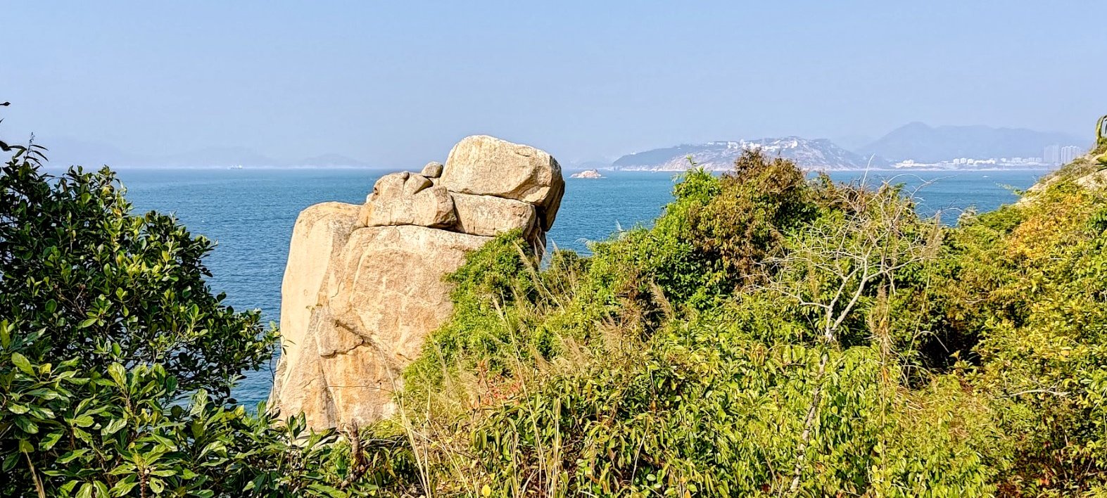
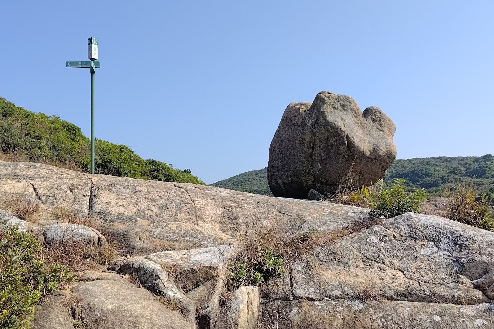
Palm Rock and Ancient Rock Carvings
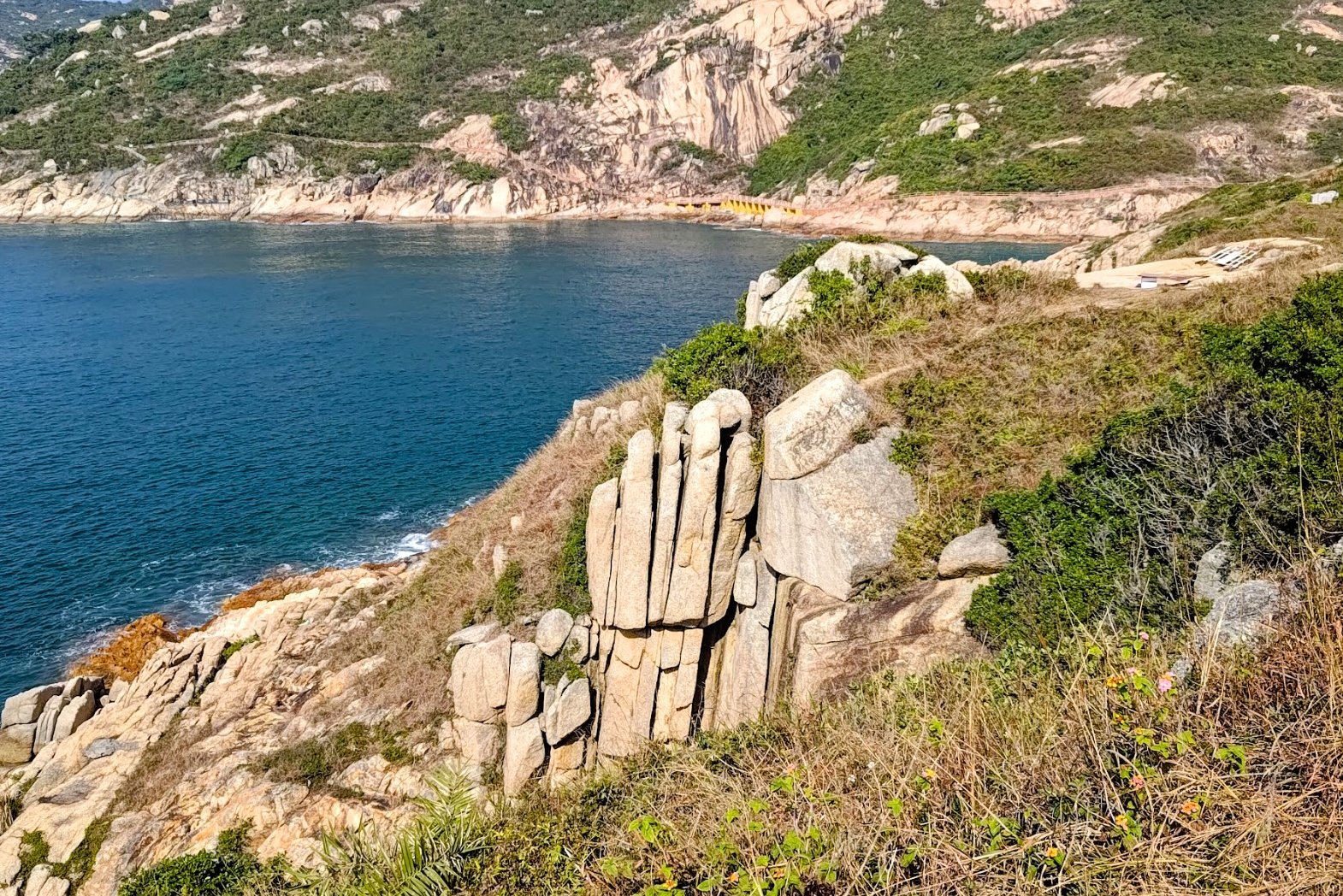
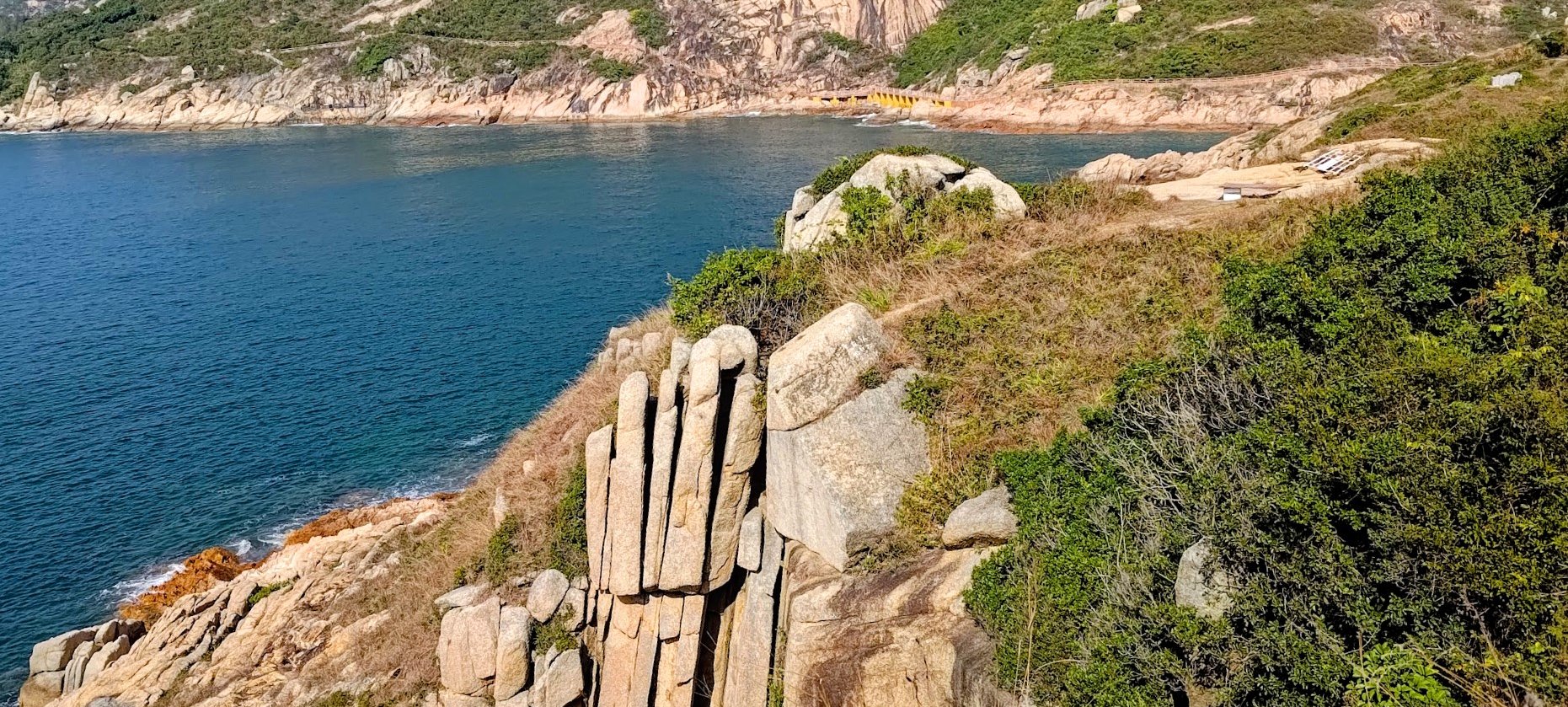
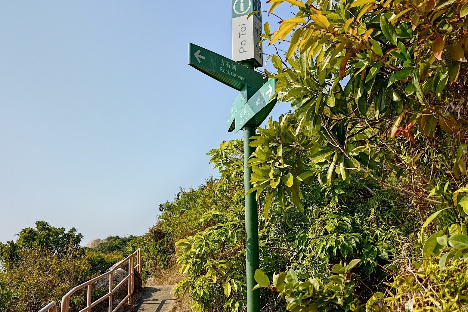
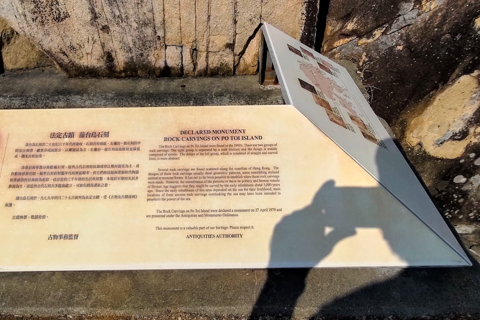
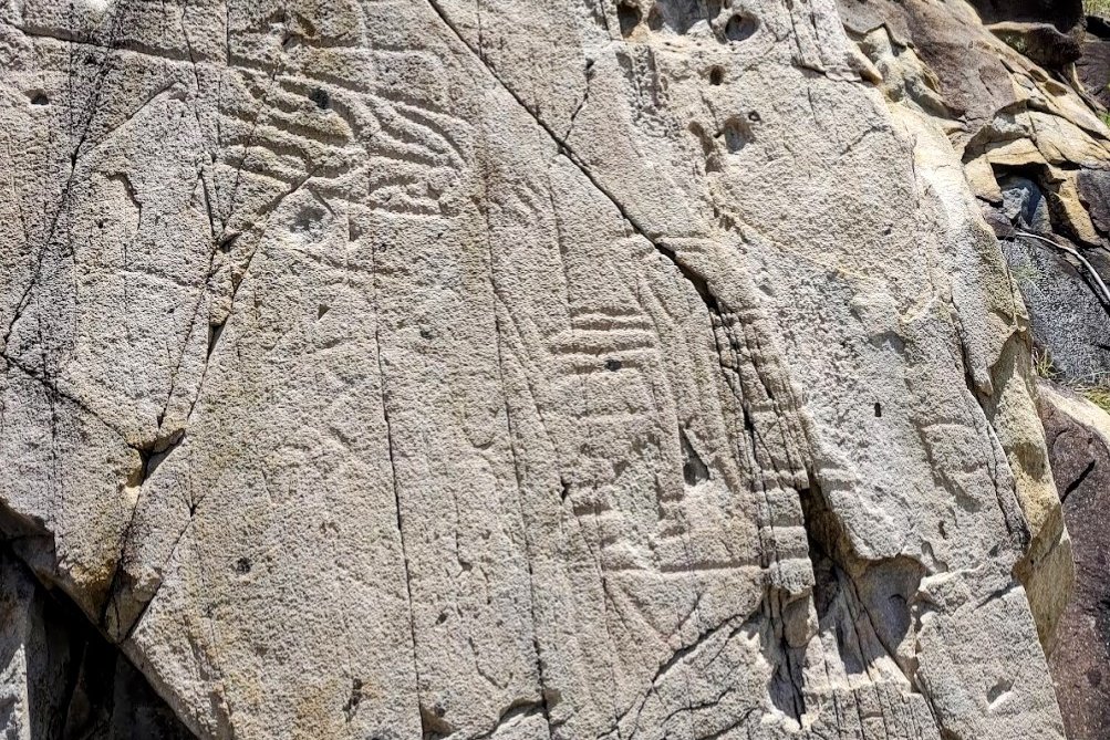
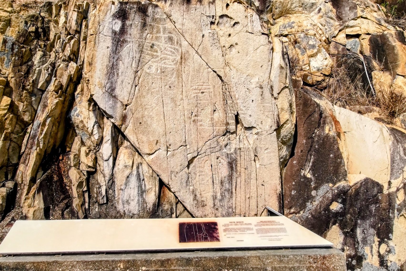
This portion of the hike took about 20 minutes.
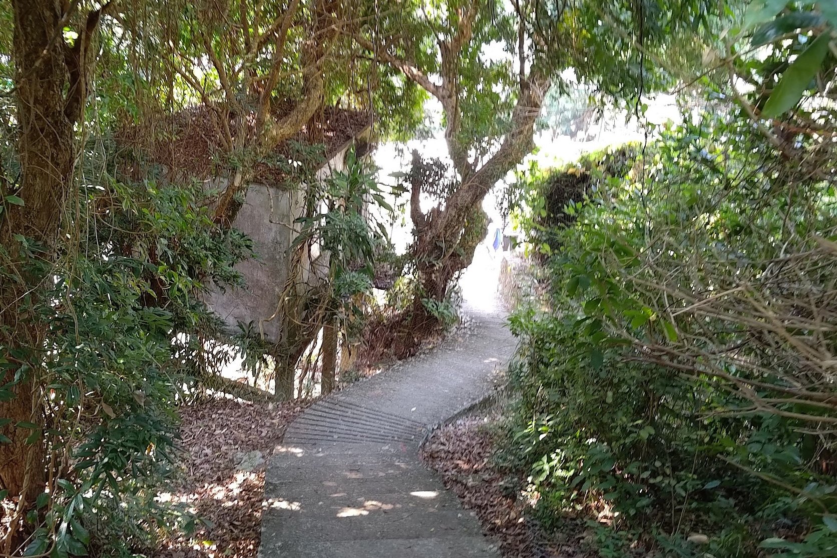
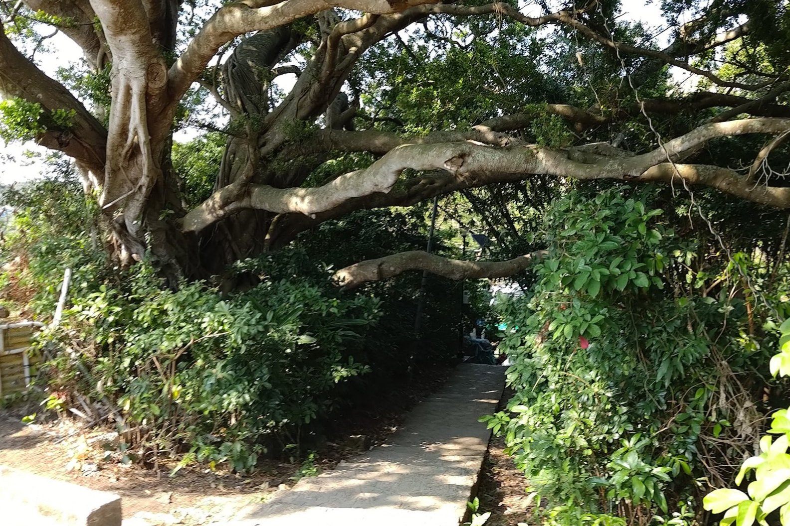
You'll be following the path along the coast past Palm Rock before going past a small beach and connecting to another path with pink railings.
Follow this path to the ancient rock carvings and then return back to the path when you're ready for the final stretch.
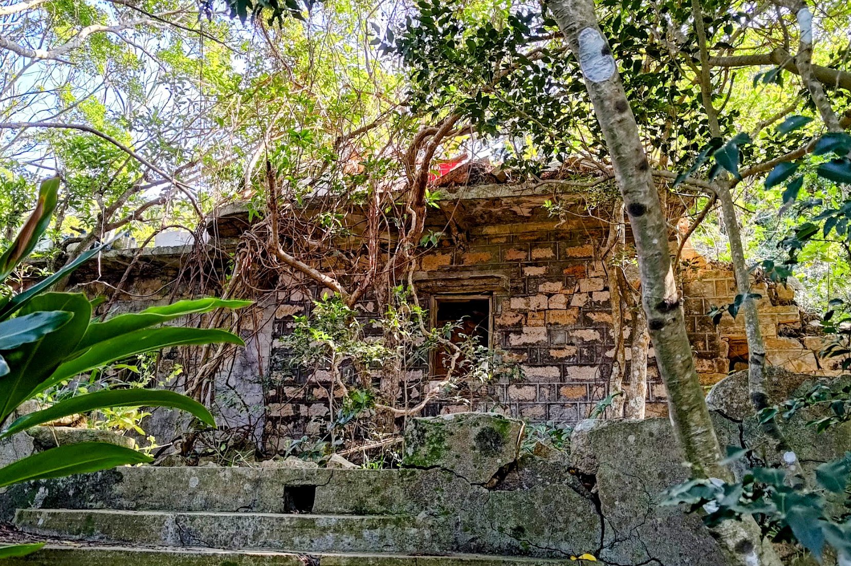
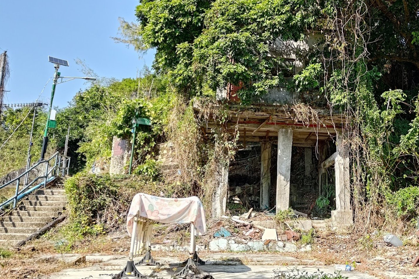
Mo's Haunted Manor (Optional)
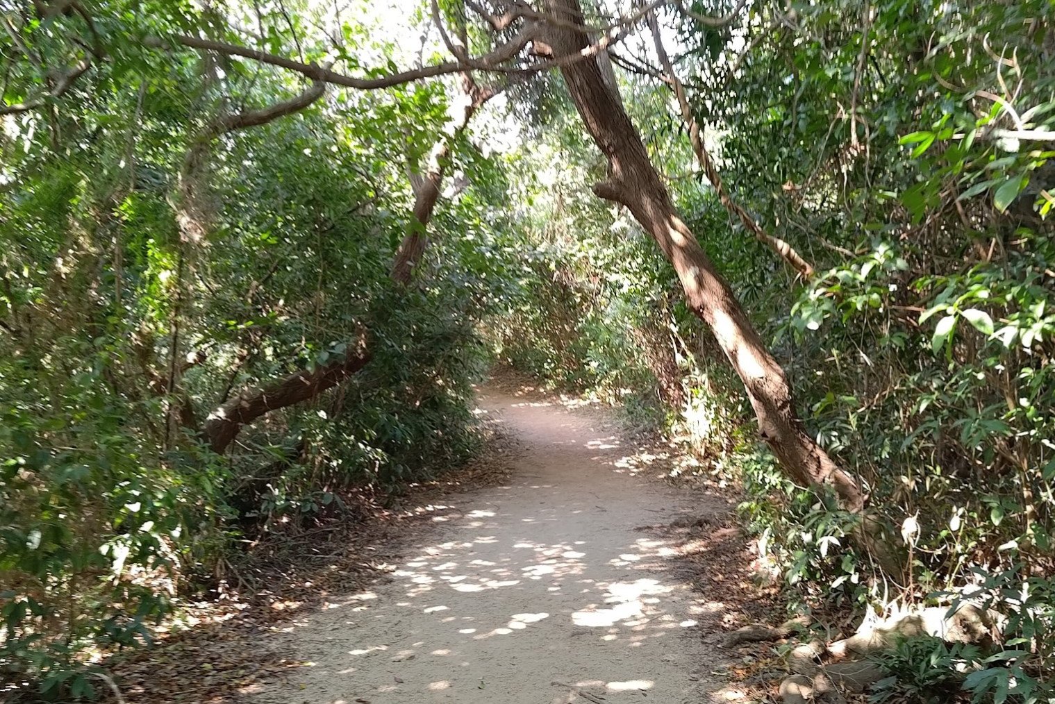
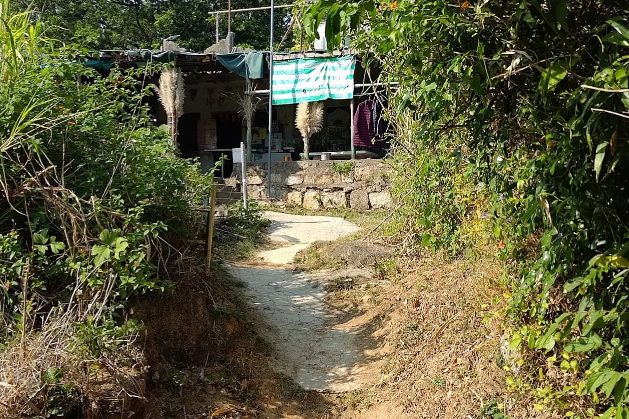
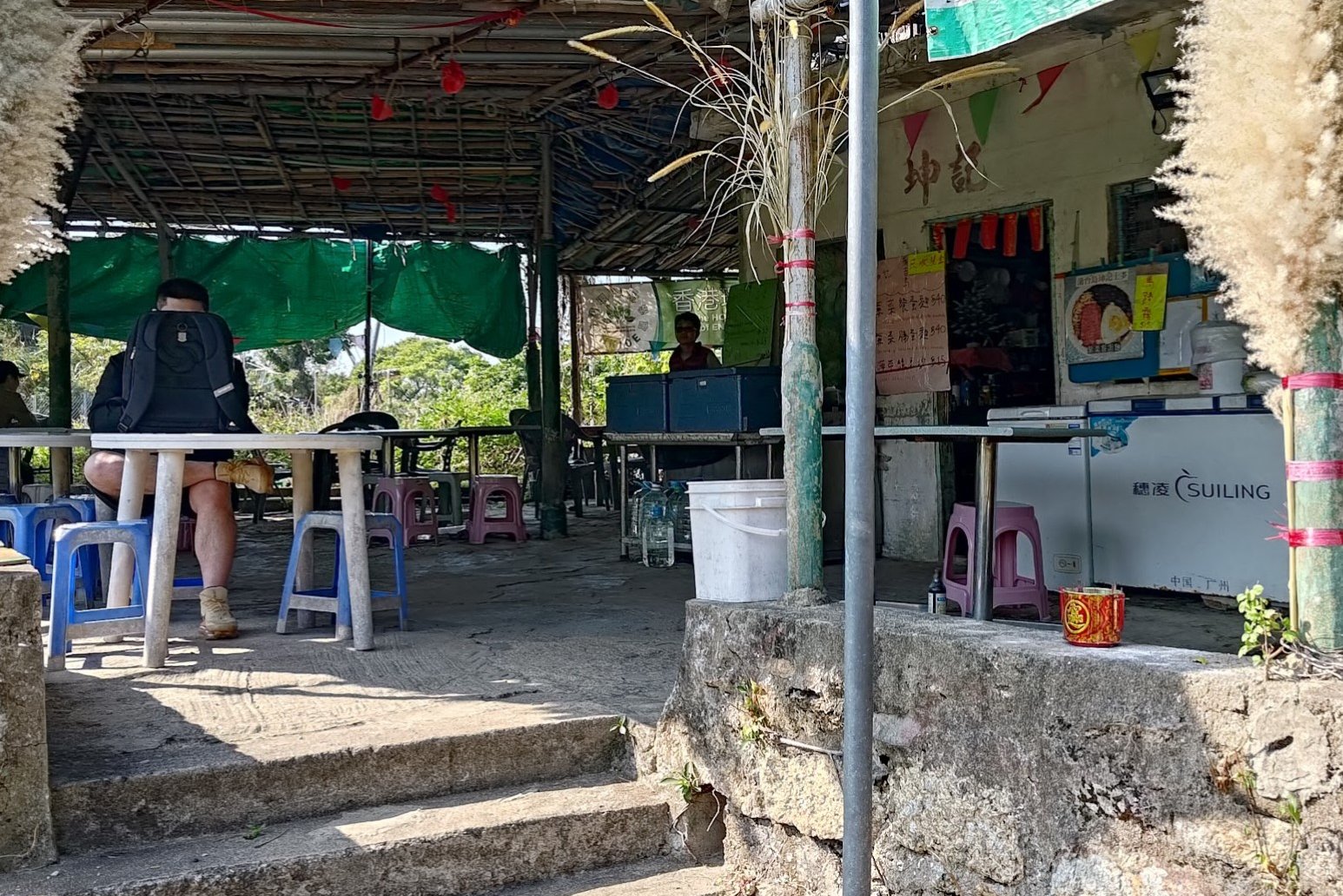
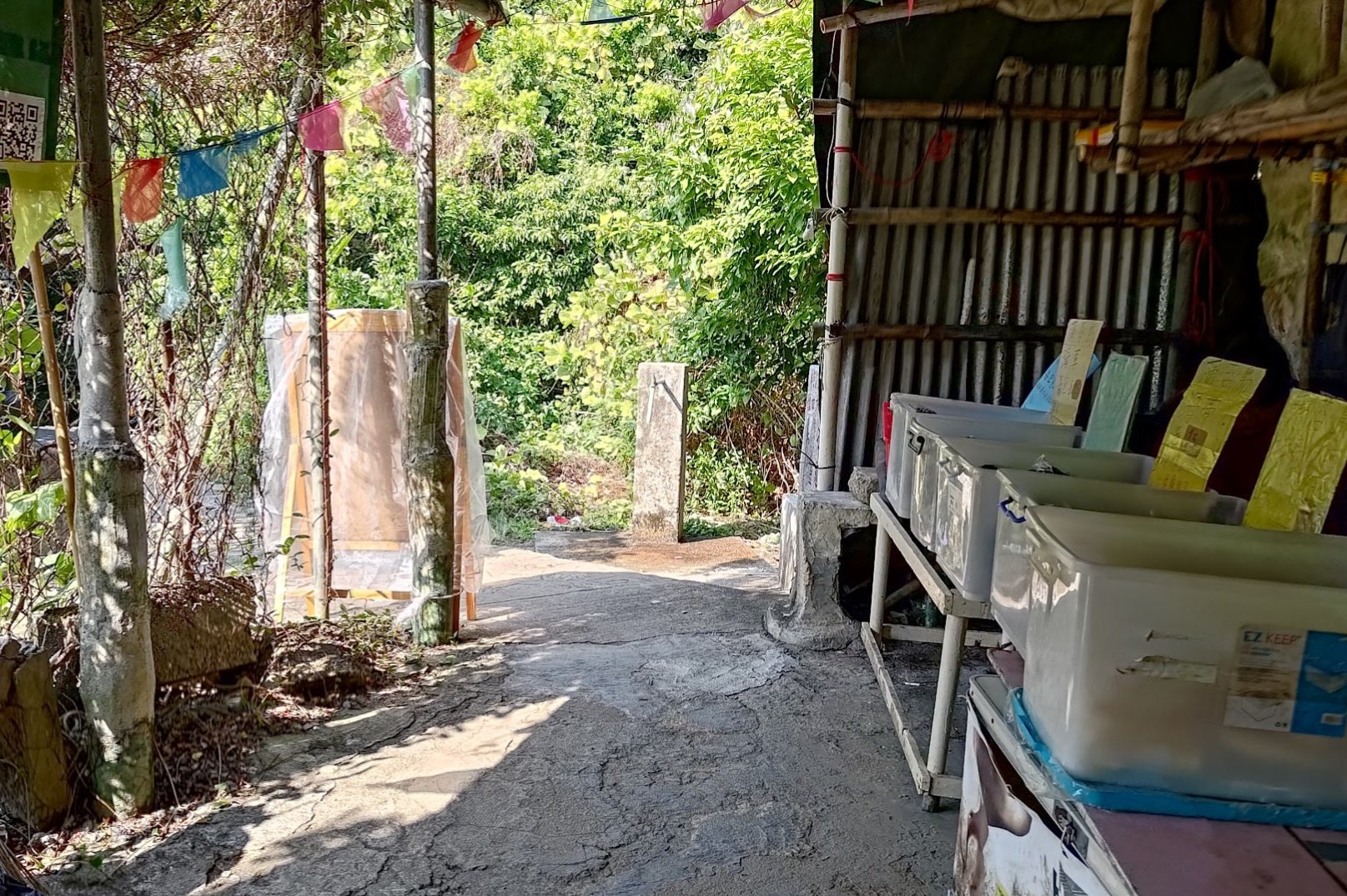
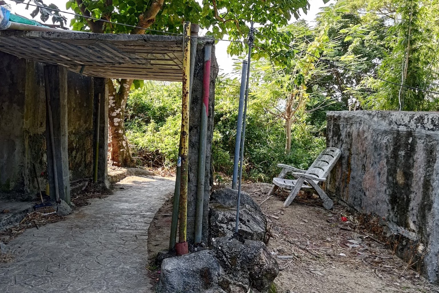
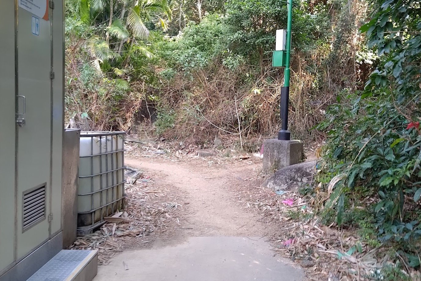
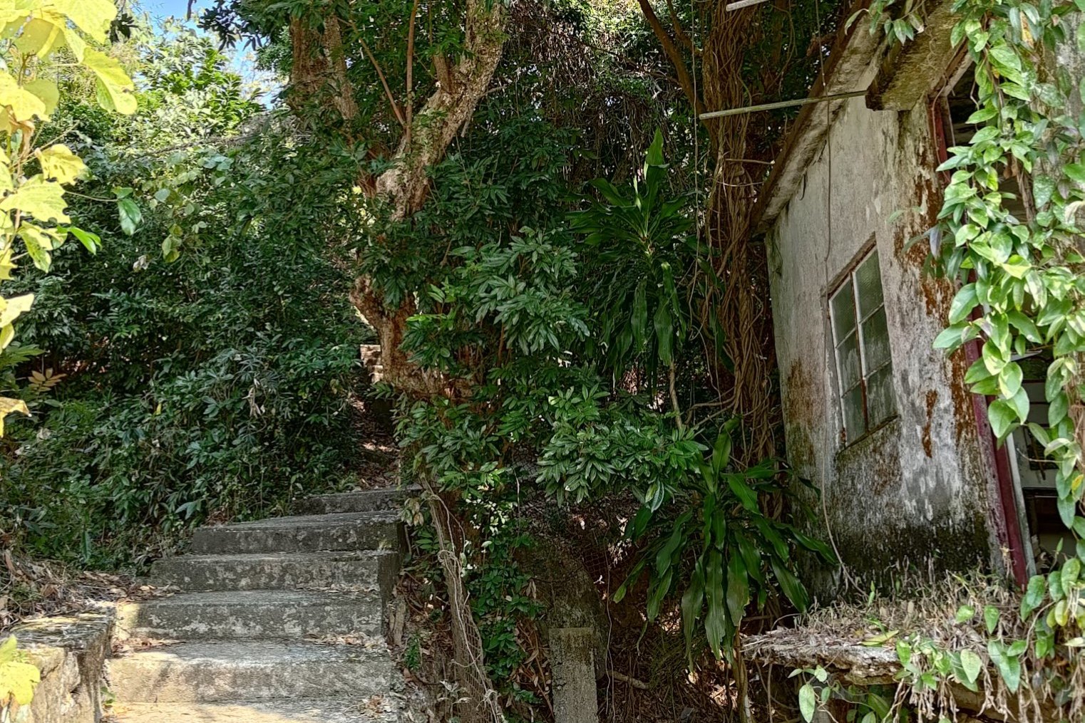
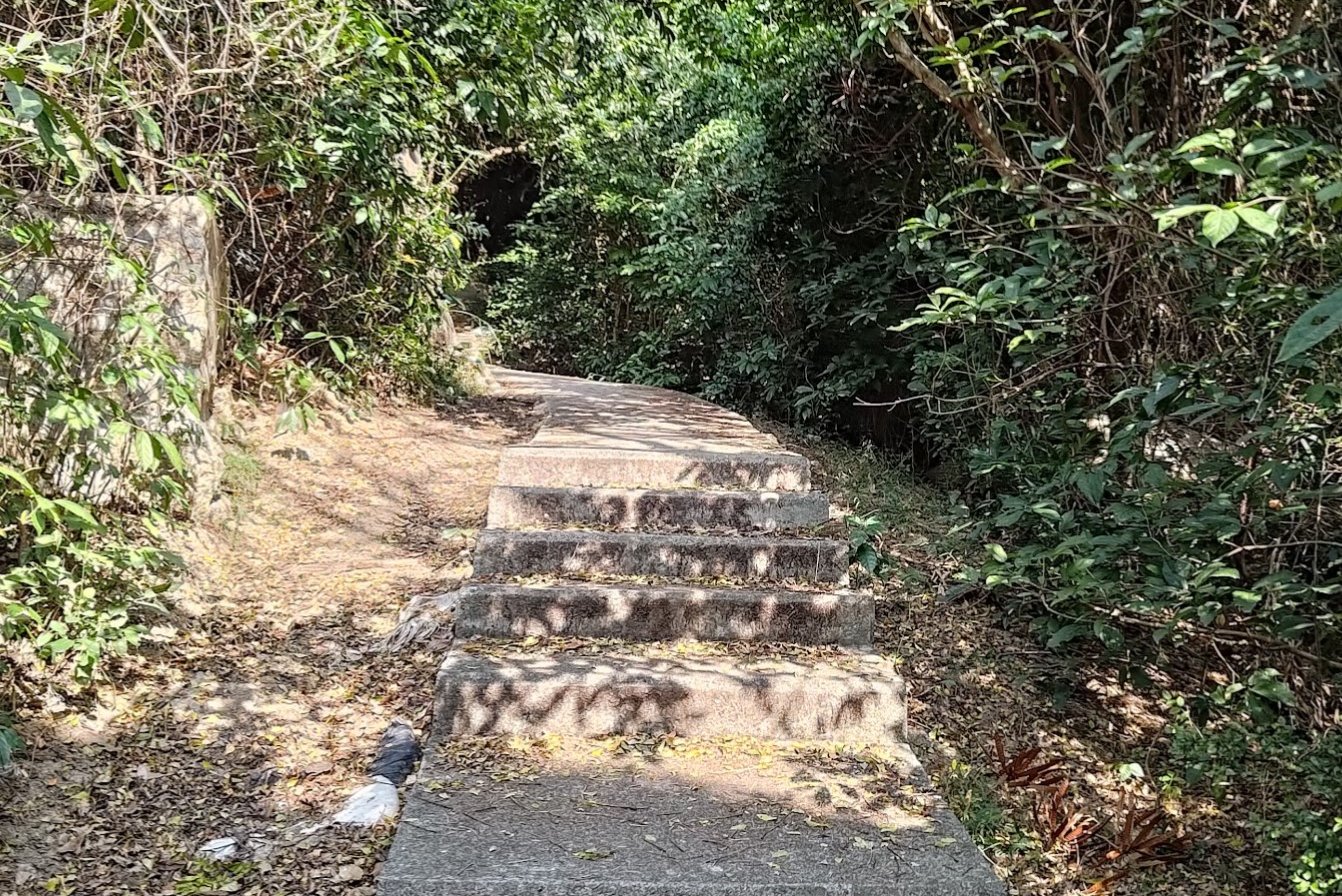
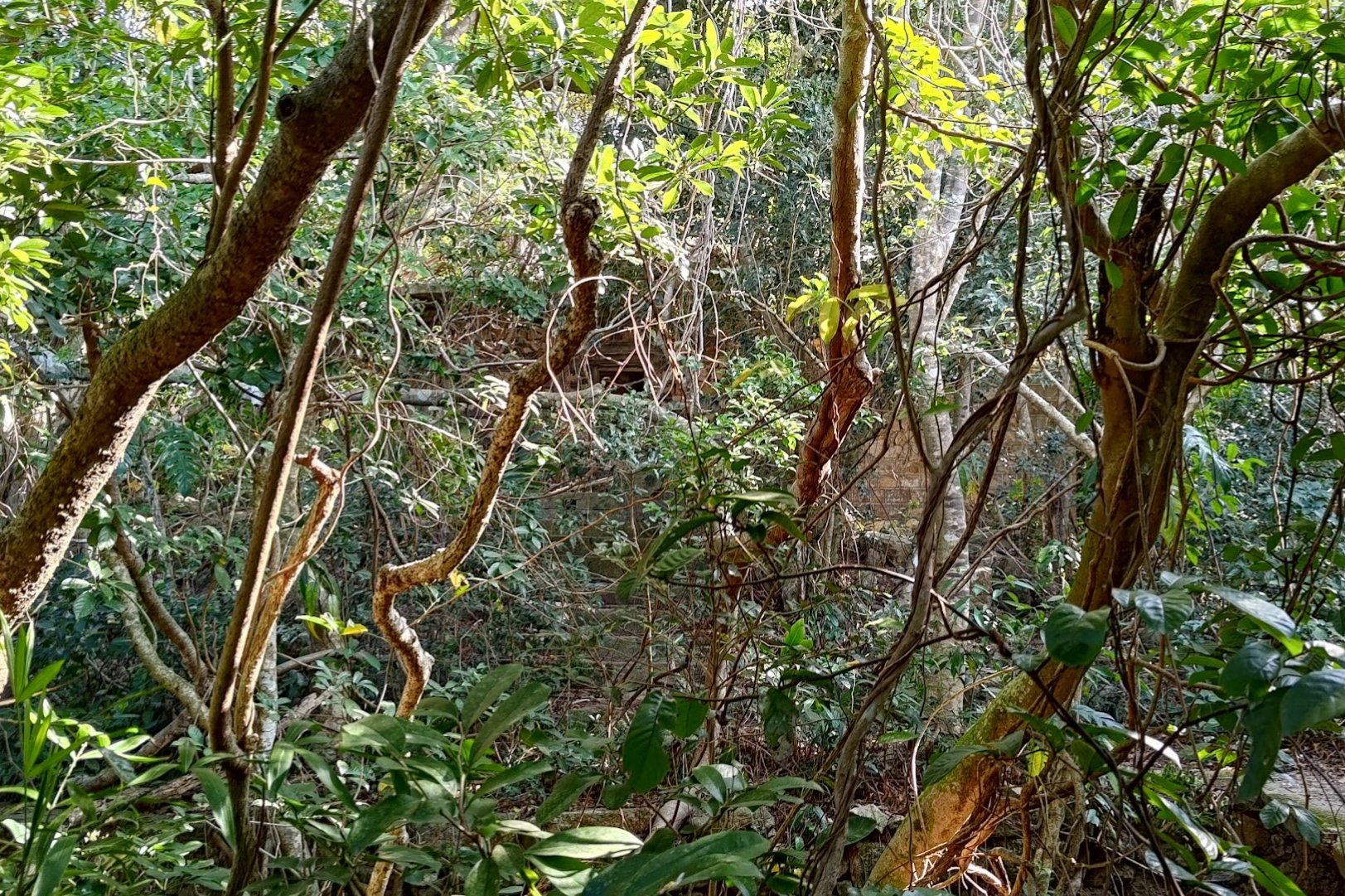
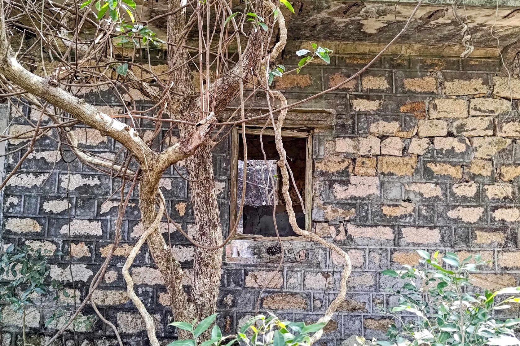
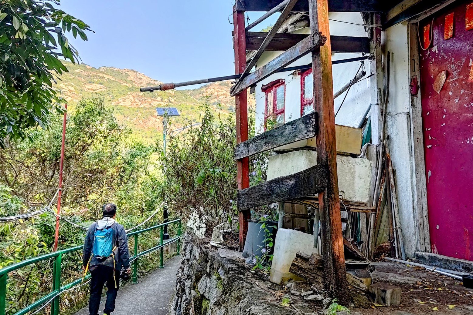
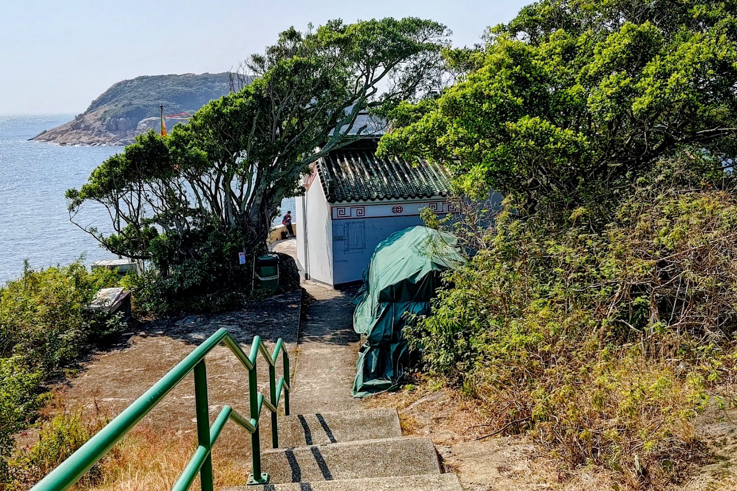
You'll follow a shaded forest path for a short while before arriving at a store. Go through the store and head down a flight of stairs.
Near the bottom of the stairs are a series of colorful signs. If you want to follow the detour to Mo's Haunted House, follow the path that leads to the mansion. Otherwise, head down a few minutes more to the pier by following that sign.
The climb to the mansion takes 10-15 minutes depending on your speed.
When you're done, retrace your steps back down to the colorful sign.
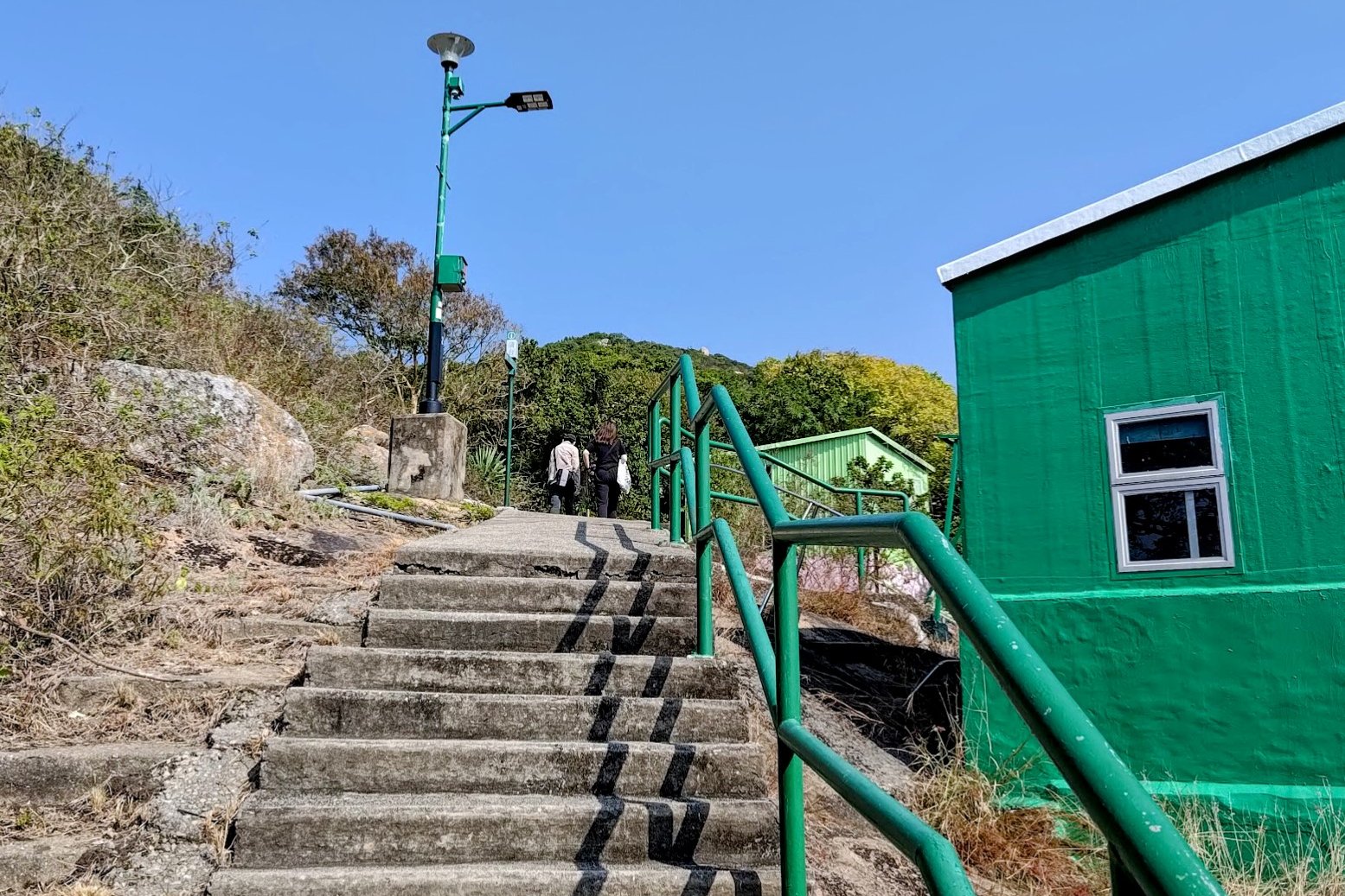
Getting to the Pier
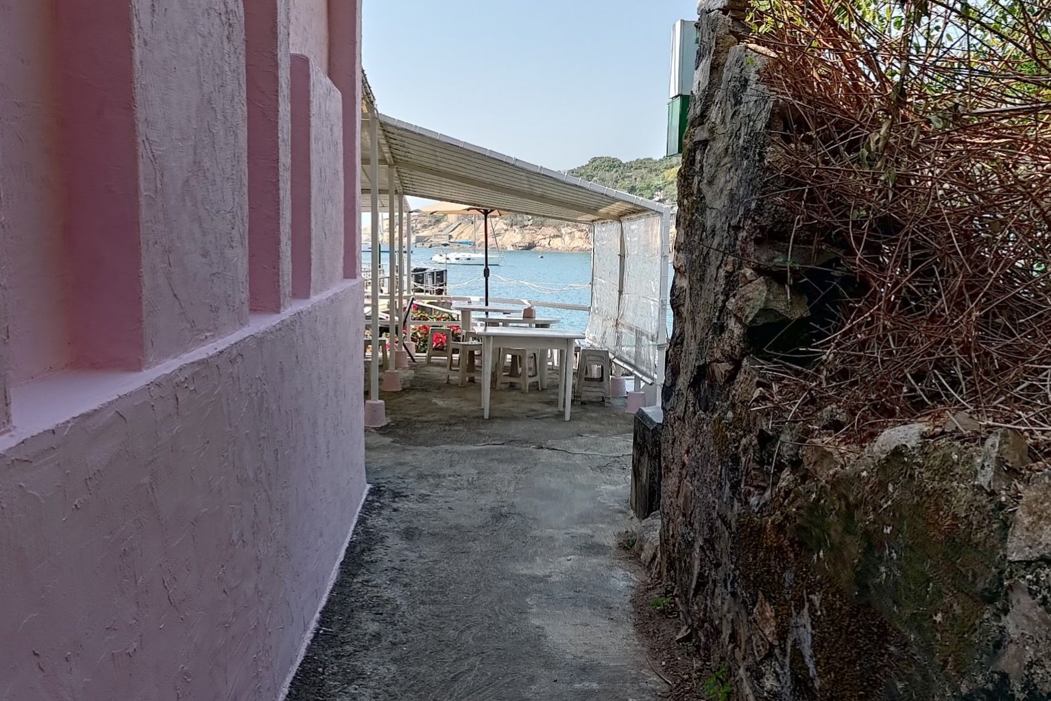
Follow the staircase all the way down from the colorful signs. You'll go past a pink building (easiest landmark to look for) and will arrive at the pier in just a few minutes.
Getting Back
Take the ferry back to either Stanley or Aberdeen. You can find the ferry schedule here.

