
Lantau Peak: How to Hike Hong Kong's Second Tallest Mountain
Contents
- Essential Information
- Lantau Peak Highlights
- Google Route Map & GPX
- How to Get There
- Quick Route Summary
- The First Section of Stairs
- Steep Climb to the Summit
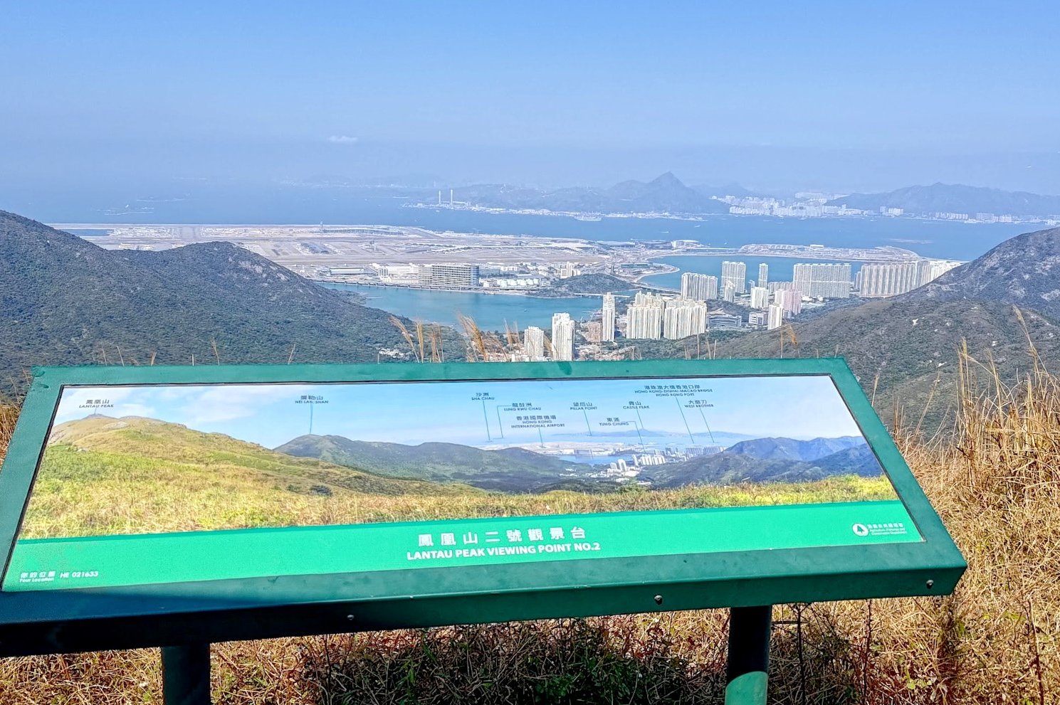
- View from the Summit of Lantau Peak
- Getting to Ngong Ping Big Buddha
- Getting Back
Essential Lantau Peak Hike Details
- District: Lantau
- Duration: 2 hours 45 mins. Your timing may vary depending on your speed.
- Distance: 6.1 km
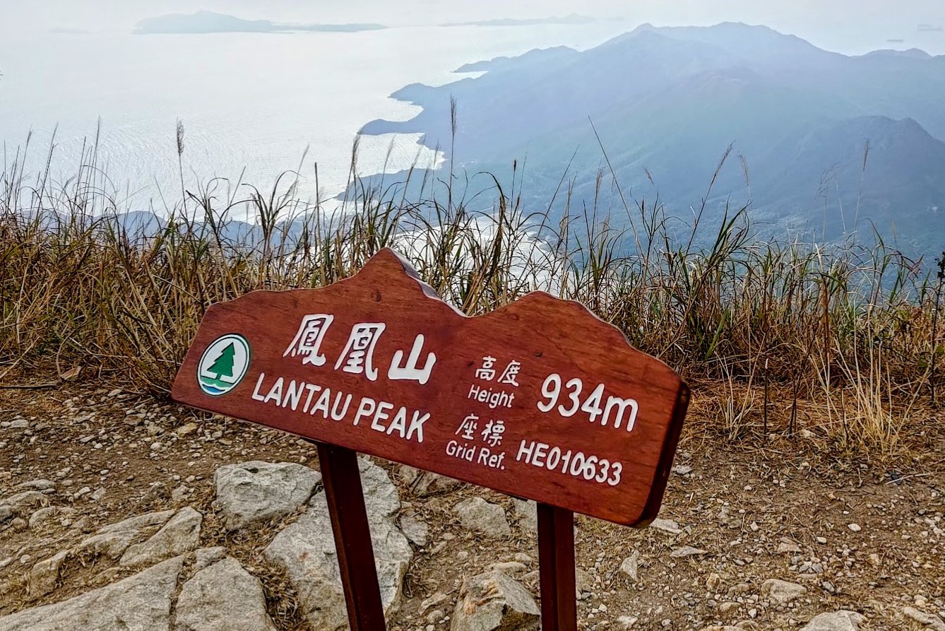
- Highest Elevation: 934 meters
- Difficulty: 4/5
- Facilities: None
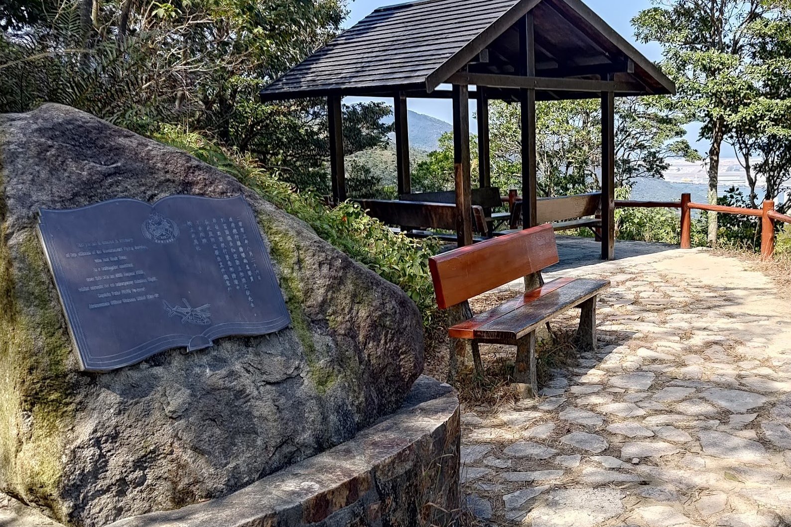
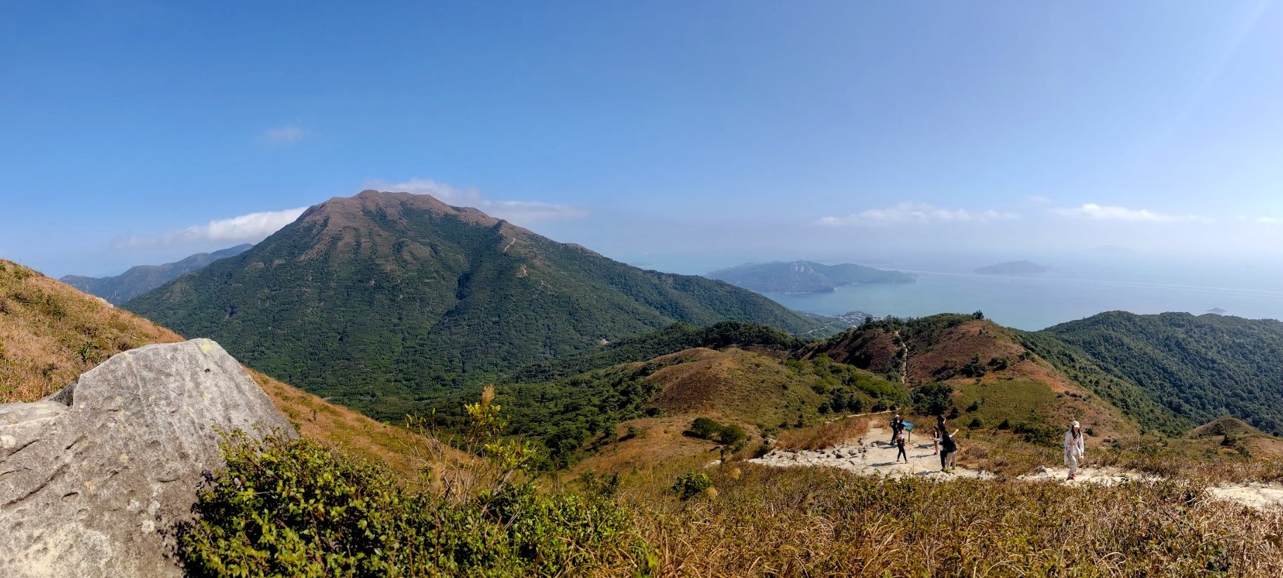
Why Hike Lantau Peak?

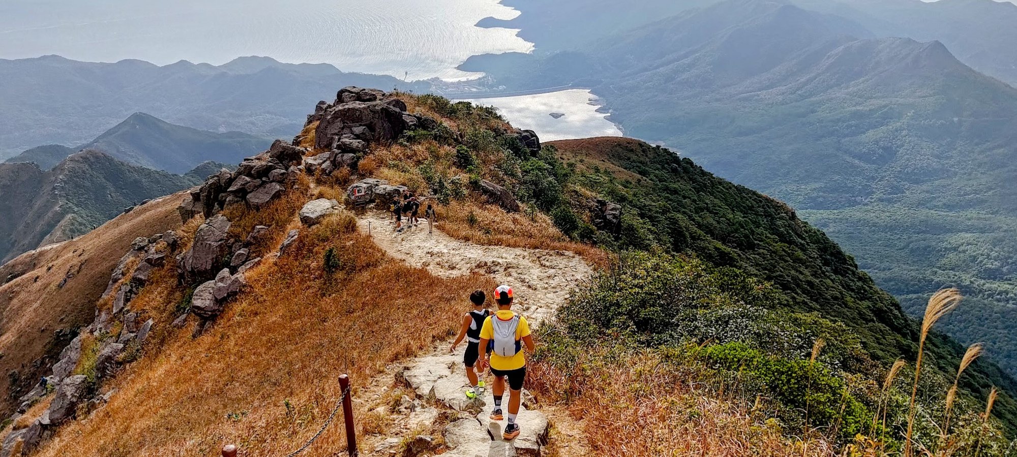
In case you couldn't tell from the pictures above, Lantau Peak is a hike that's dominated by stairs. From the start point to Lantau Peak, you will essentially ascend a giant staircase that gets super steep at parts.
The good thing is that it's almost impossible to get lost as you make your way to the summit. Your mantra will be if there are stairs, I'm going in the right direction. If I'm ascending and suffering, I'm on the way to salvation.
From Lantau Peak, you'll be taking another staircase down to the Ngong Ping Big Buddha, so in case you weren't done with the stairs on the way up, you can enjoy plenty more as you descend.
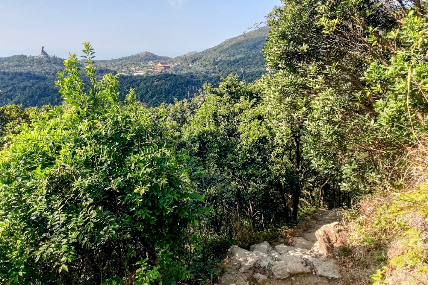
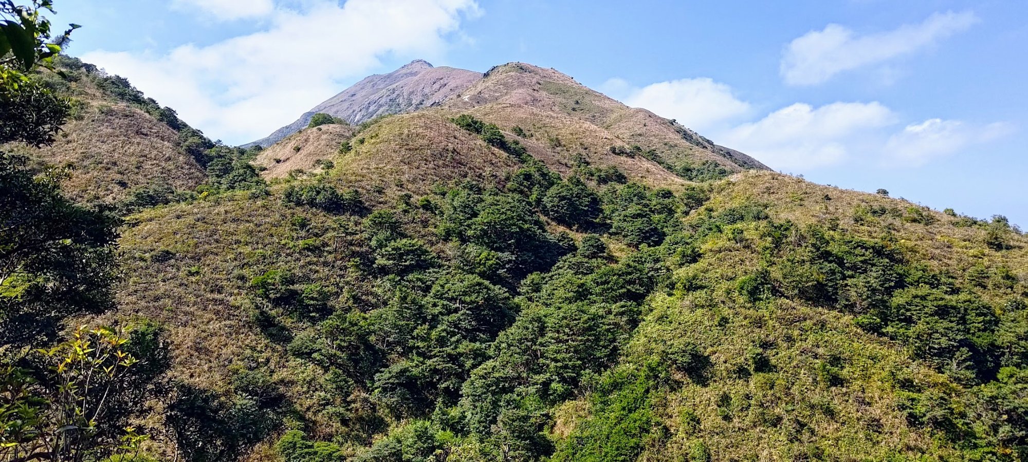
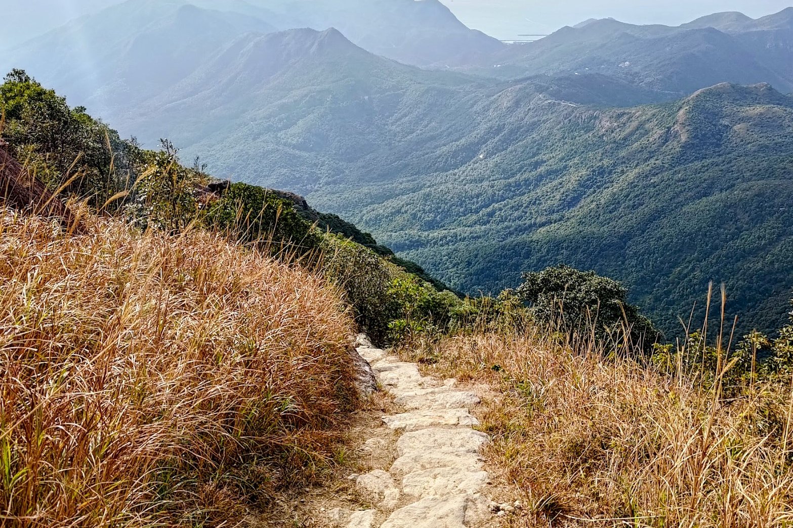
Stairs aside, this hike is full of gorgeous views! Your effort will be rewarded as the landscape begins to unfold before you. That being said, much of this hike is open, so if you're attempting Lantau Peak in the summer, expect the climb to be pretty brutal.
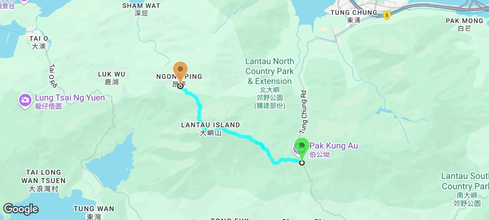
Lantau Peak Route Map and GPX File
*Click the box icon in the top right of the map below to load the blue route directly into your own Google Maps. You can then see your location relative to the trail in real time!
How to Get to the Lantau Peak Hike Start Point


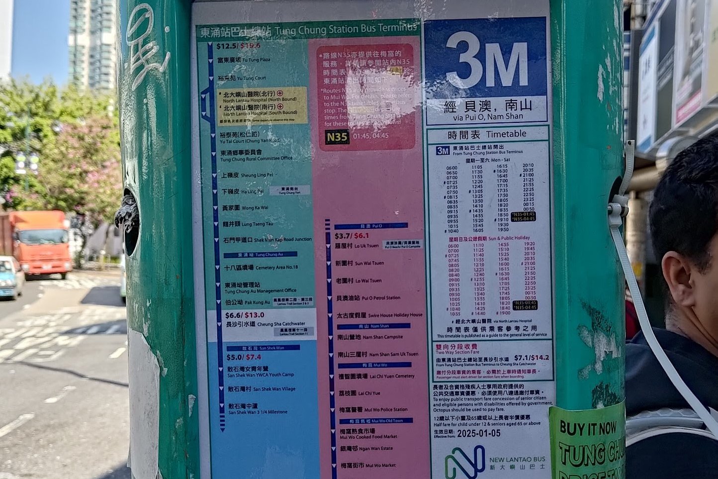
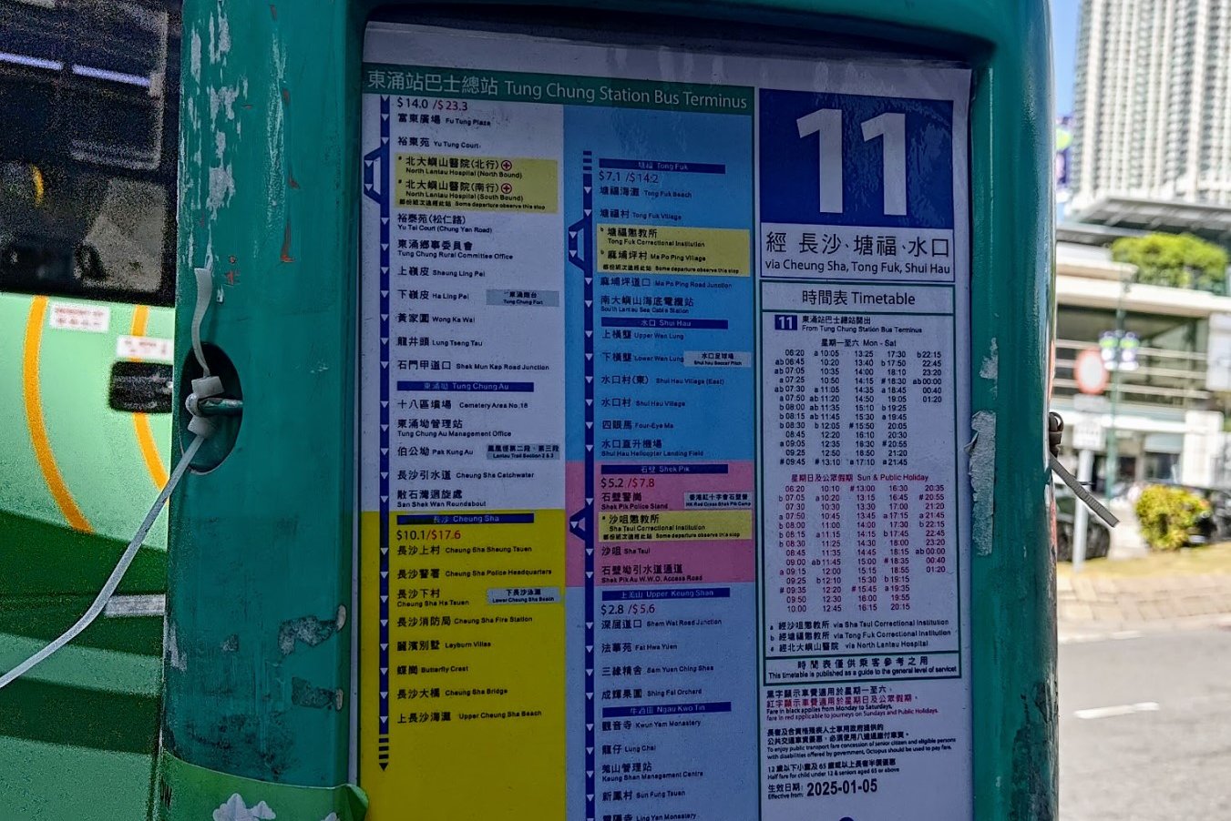

After arriving at Tung Chung MTR station, leave through Exit A and cross the street to the Fu Tung Plaza Bus Stop. You'll be looking for Lantau bus number 11 or Lantau bus number 3M.
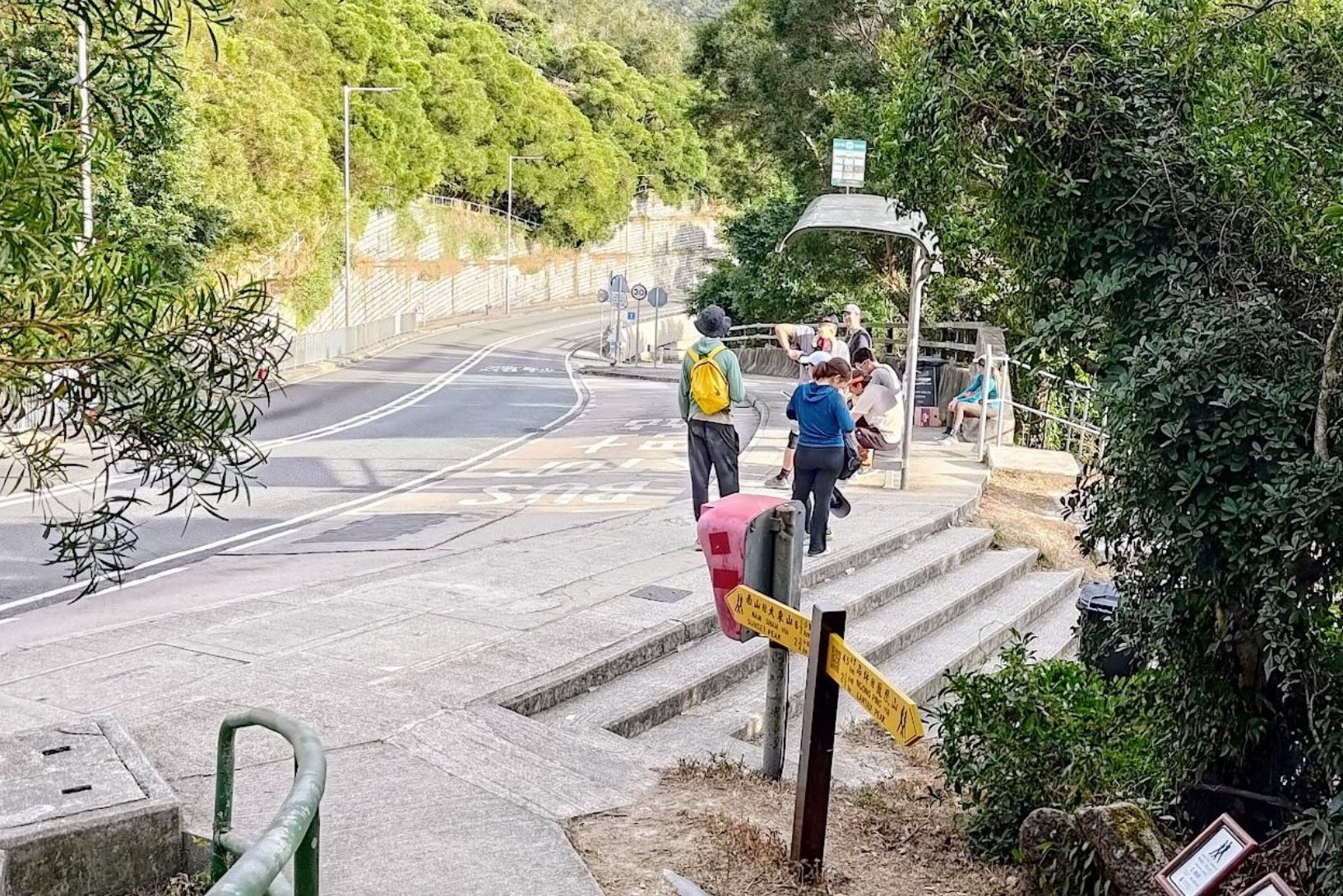
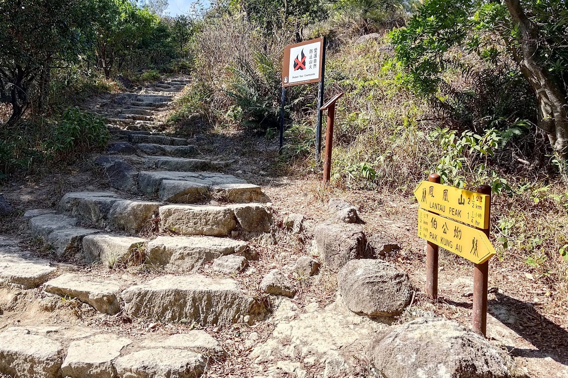
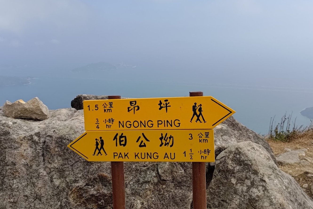
In case you're concerned about where to get off, you can show the bus driver these Chinese characters when you get on so they will know to let you off at the correct stop: 伯公坳
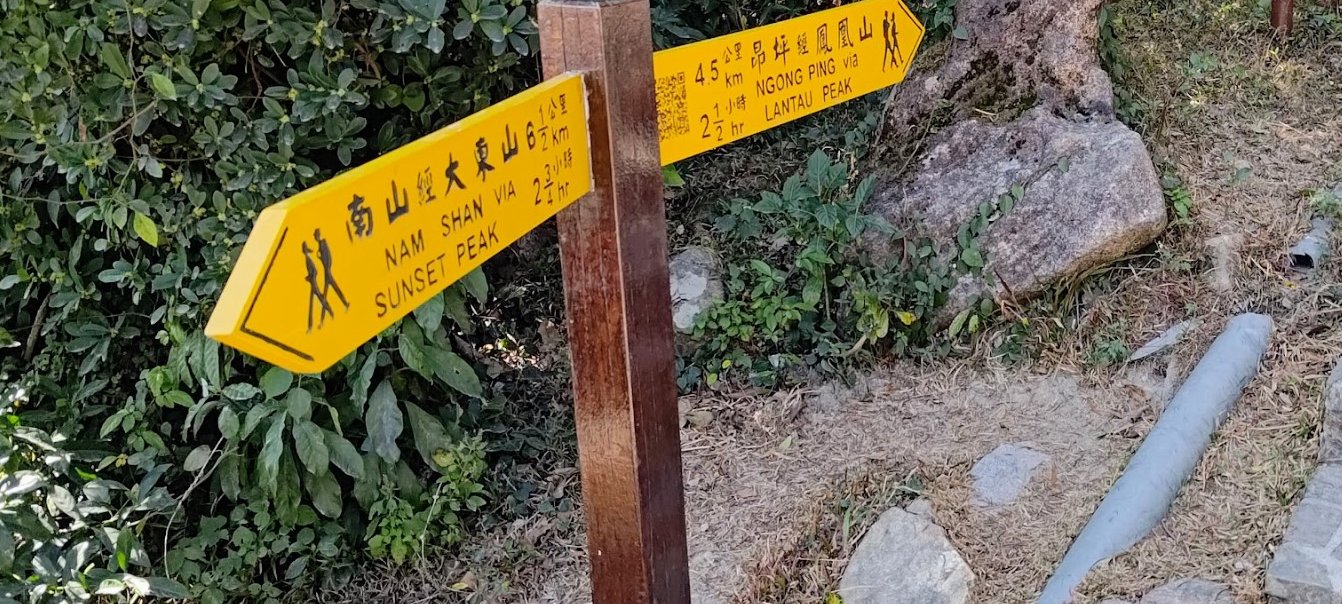
You'll want to take either bus to the Pak Kung Au bus stop. After alighting, cross to the other side of the street and you'll see the yellow signs marking where the hike begins.
Quick Lantau Peak Hike Route Summary
- Get the number 11 or 3A bus to Pak Kung Au
- After alighting, cross the street and look for the yellow sign pointing the way to Lantau Peak
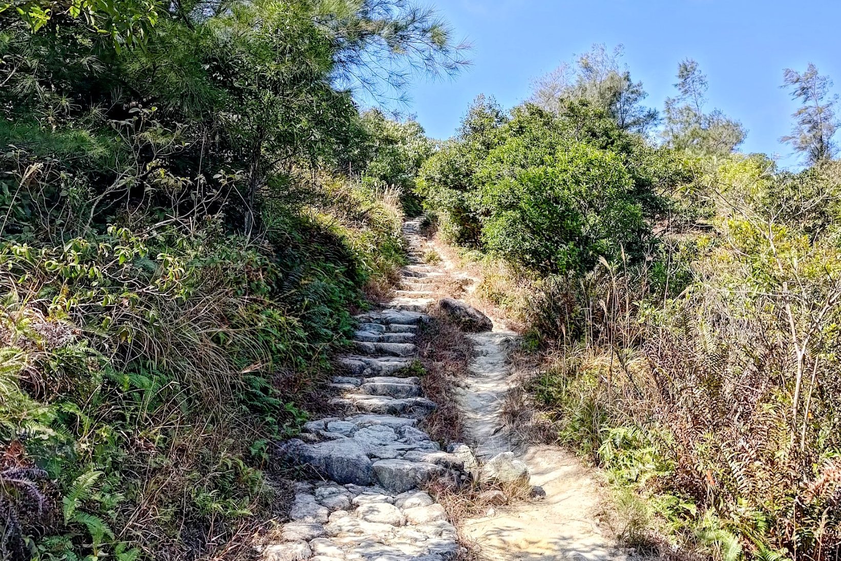
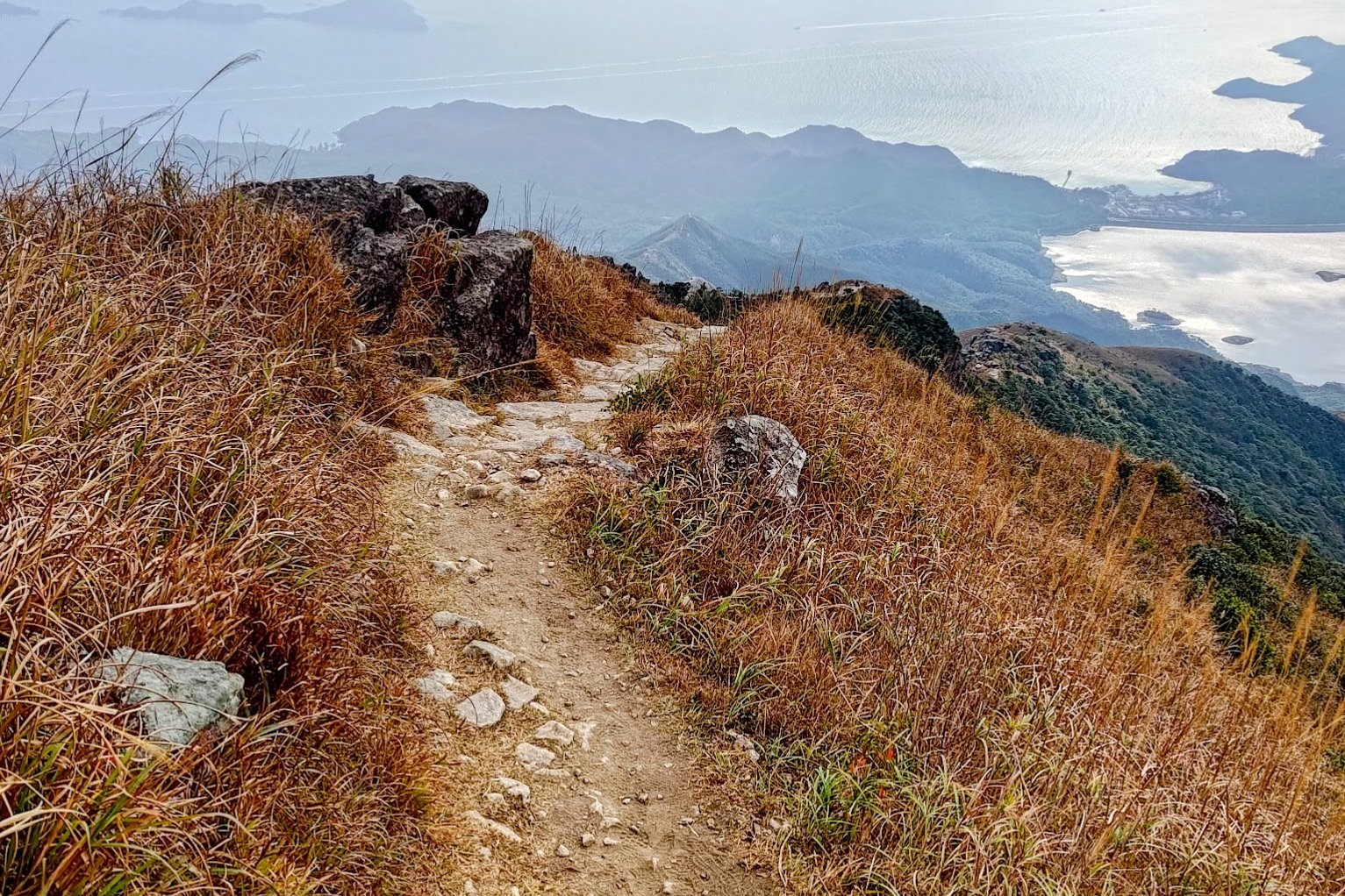
- Enjoy a long climb to the top of Lantau Peak. Yellow signs will point the way occasionally, but you'll just be following the trail the whole way up
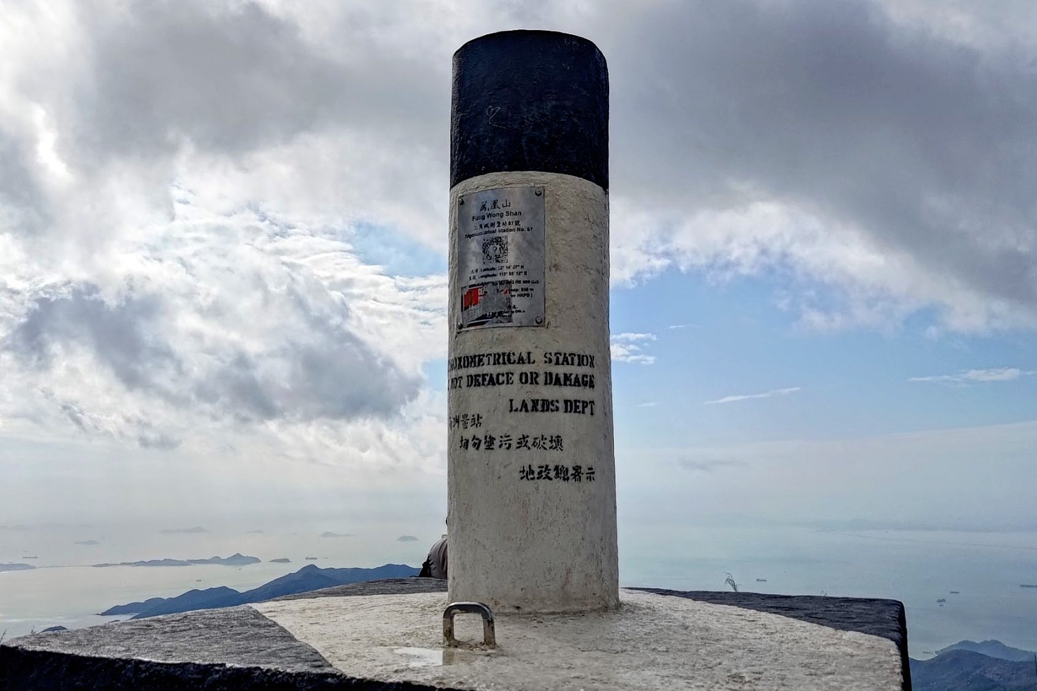
- At the summit (marked by a black and white trigonometrical station) look for the yellow sign pointing to Ngong Ping
- Follow it down a set of stairs until you see another yellow sign pointing to Ngong Ping
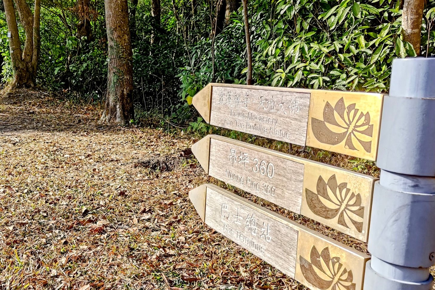
- At the bottom of another long set of stairs, you will start seeing signs pointing to the Po Lin Monastery and Tian Tan Buddha Statue. Follow these signs
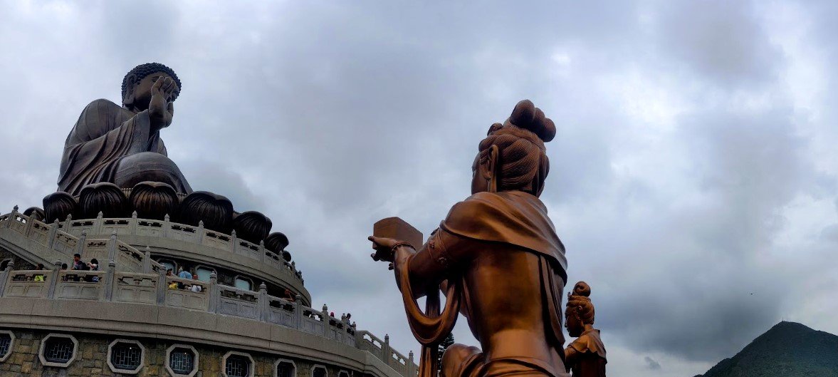
- You will eventually arrive at Ngong Ping Village, where you can check out the Big Buddha, get some food and drinks and take a bus to various locations across Lantau like Mui Wo, Tai O, Tung Chung and more.
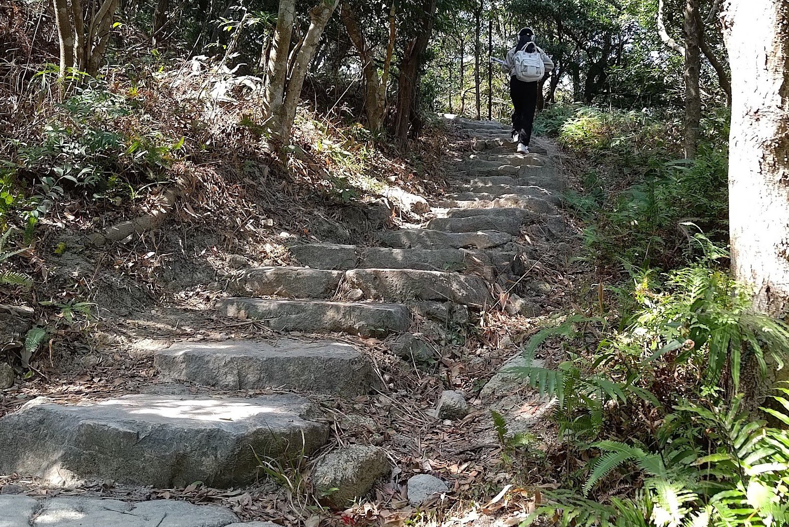
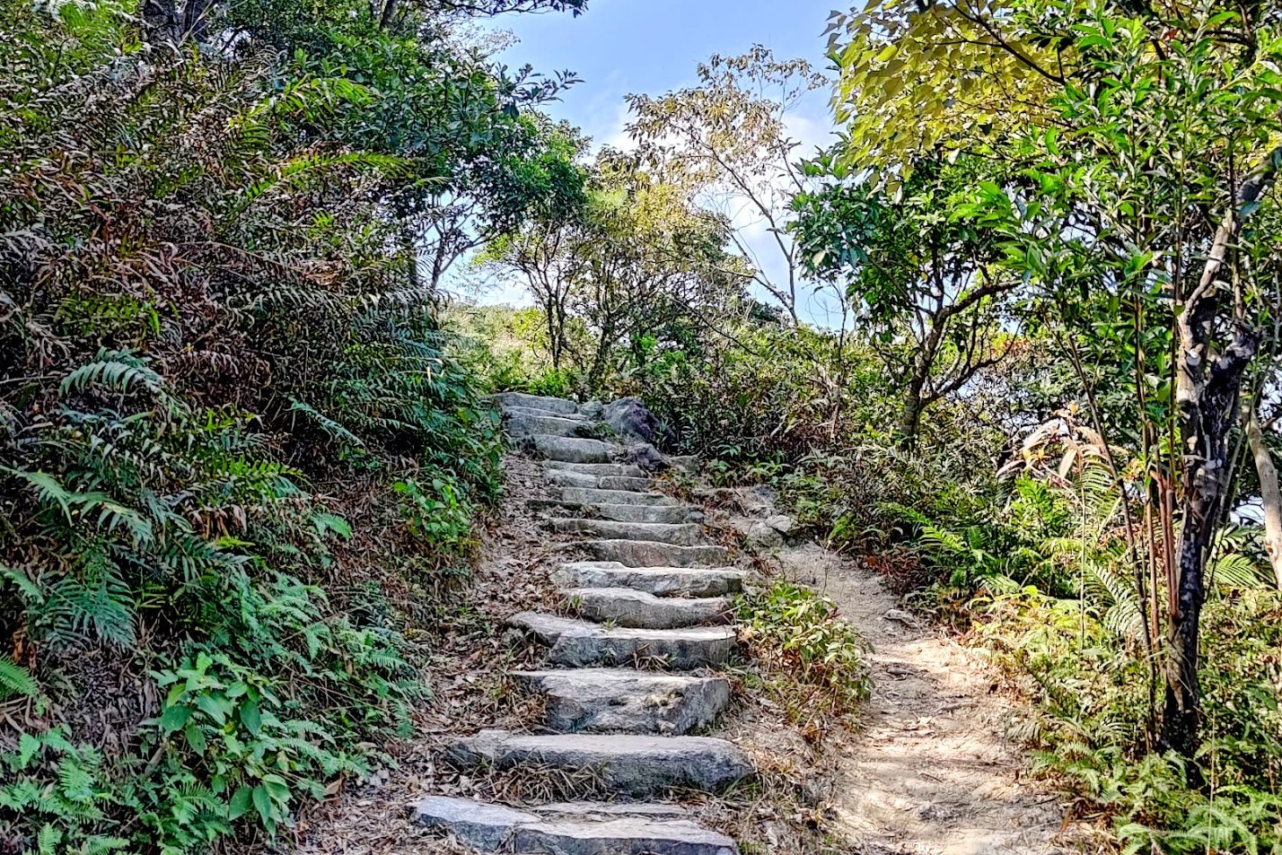
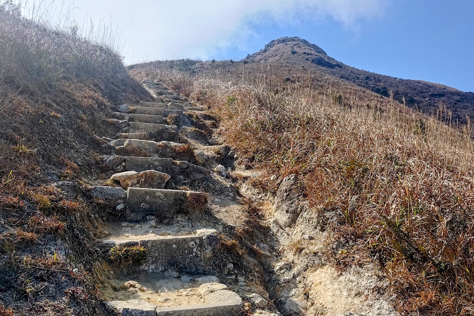
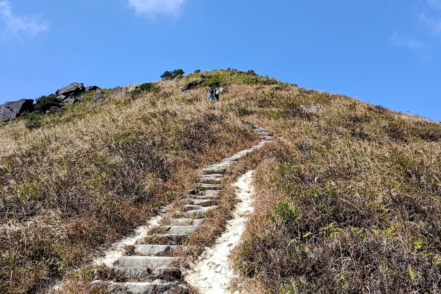
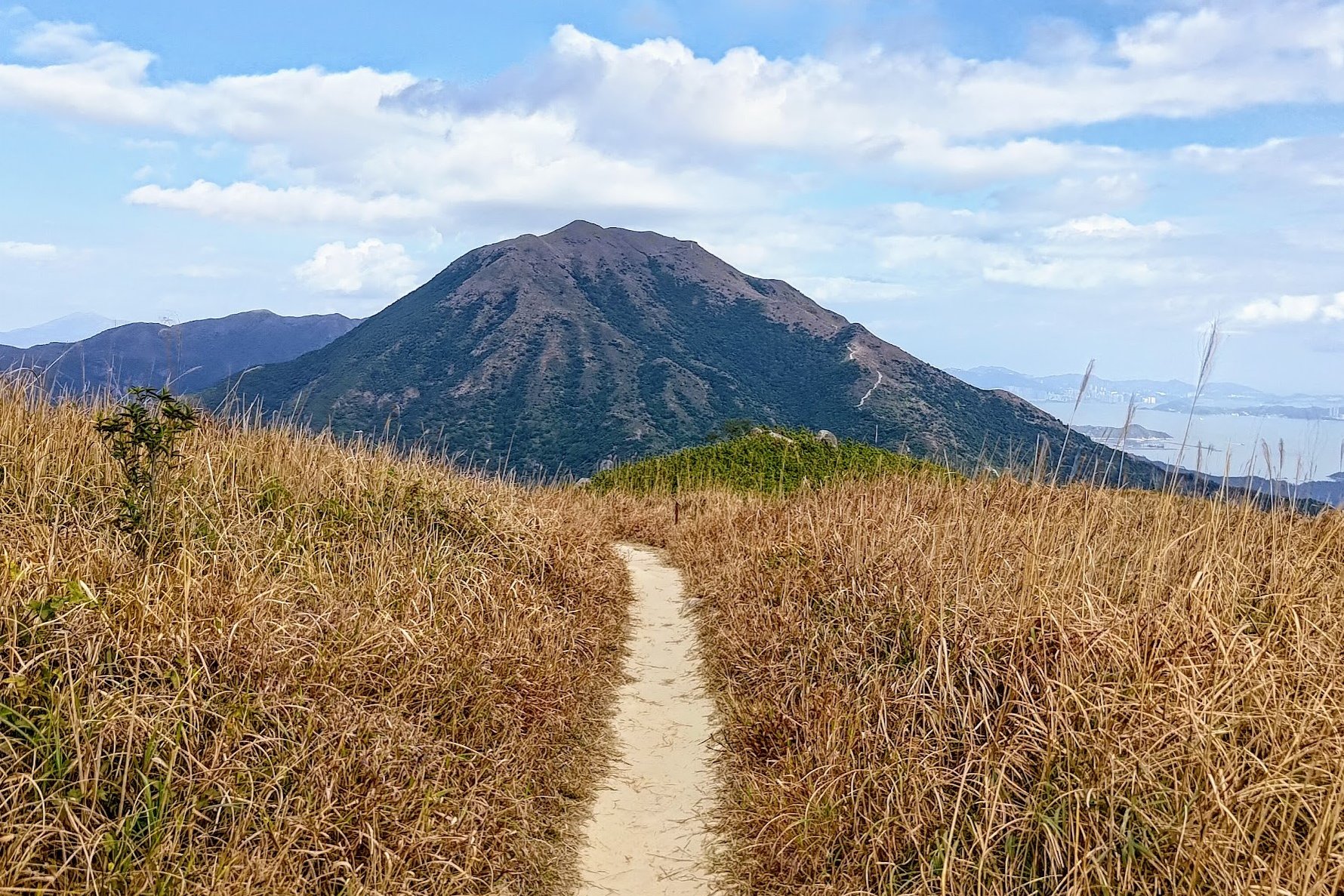
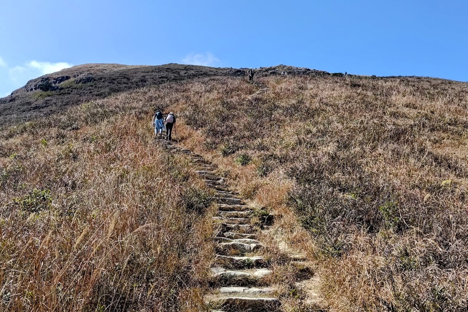
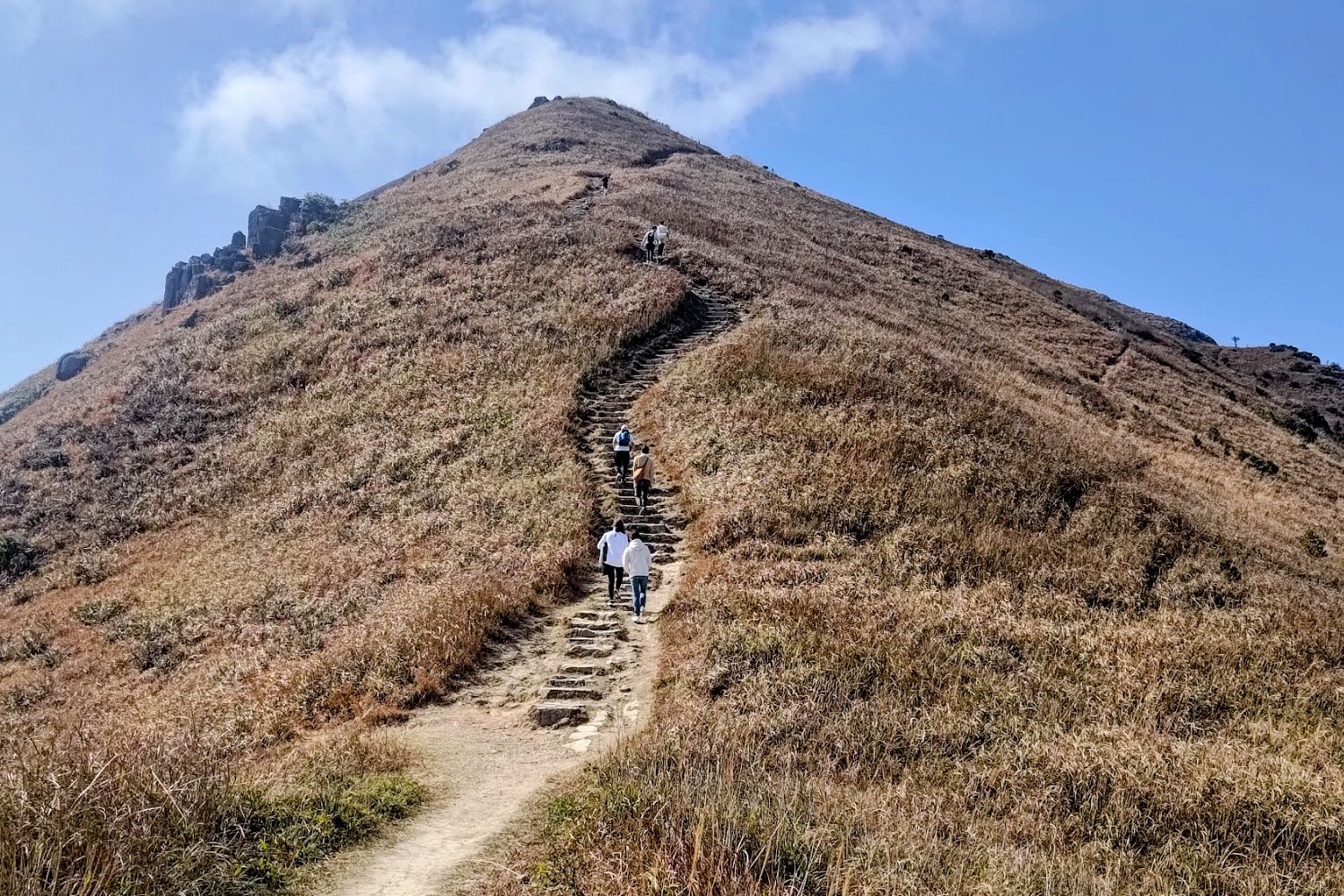
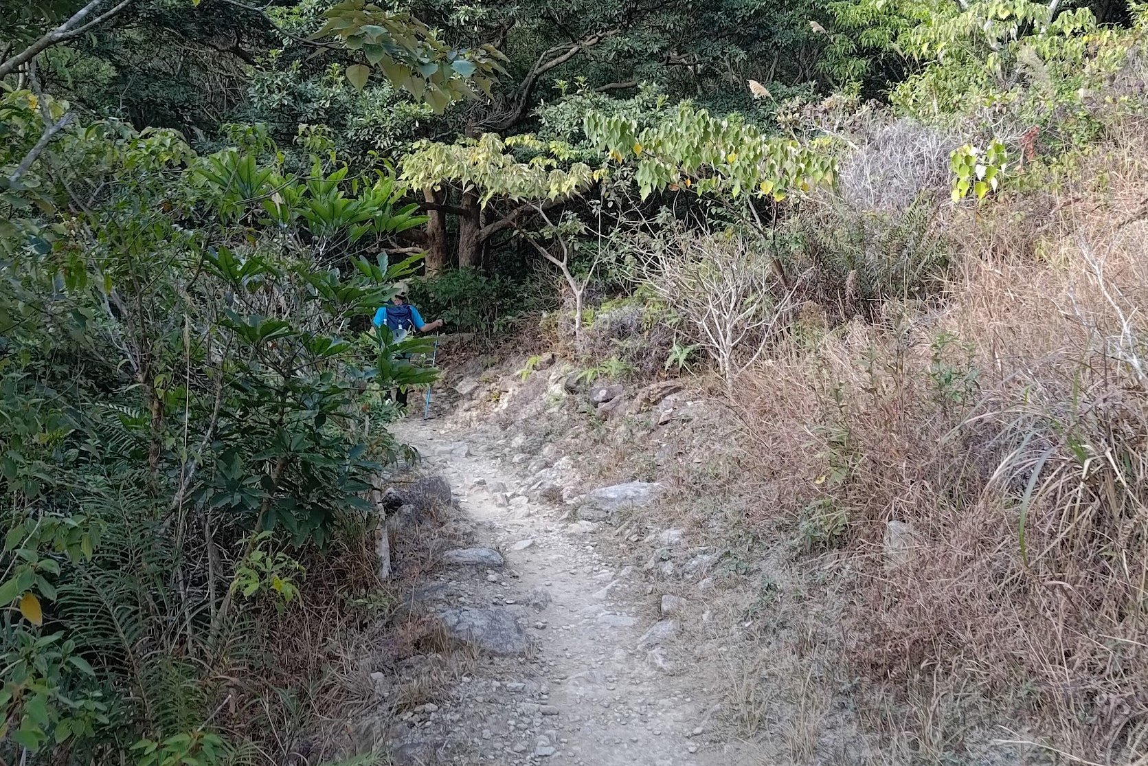
The First Section of Stairs
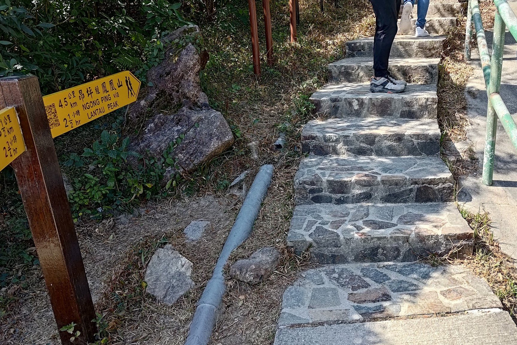

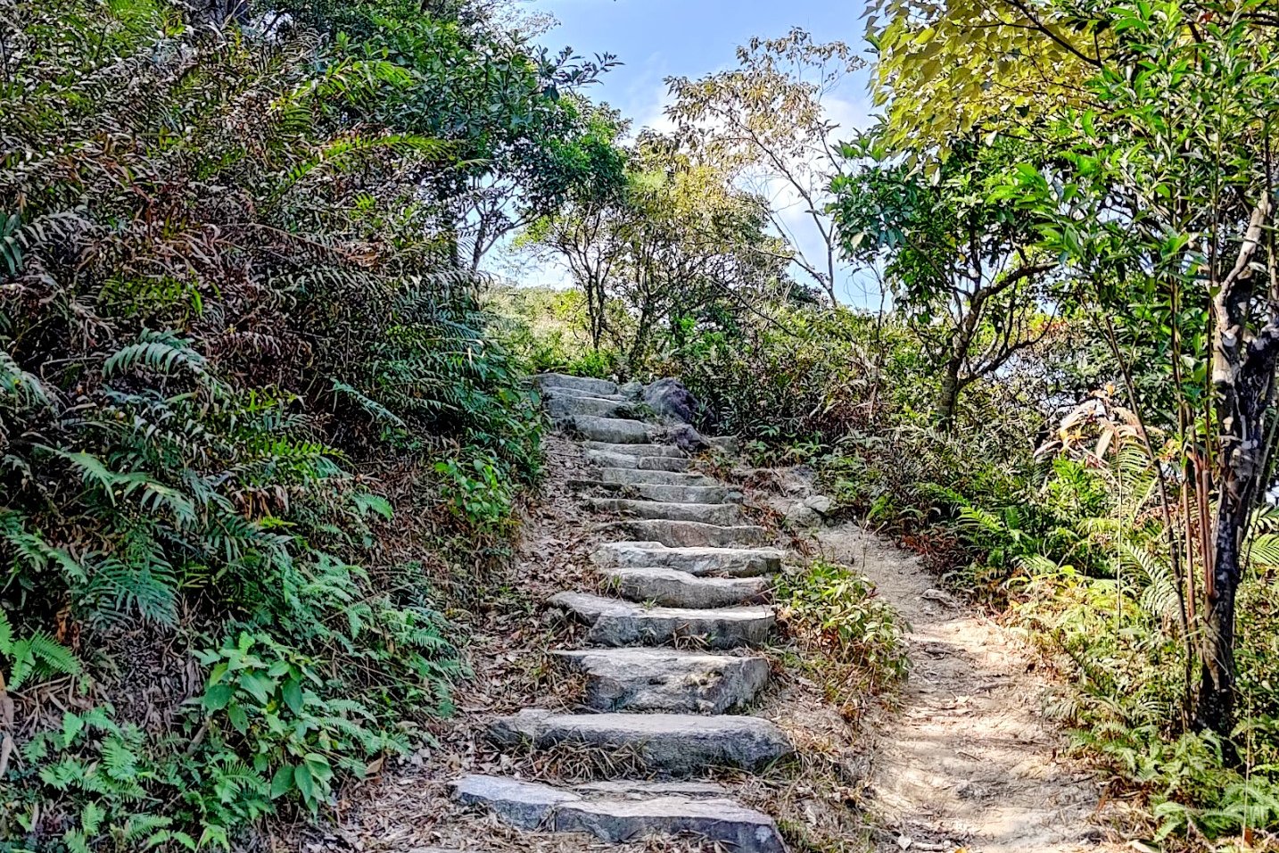
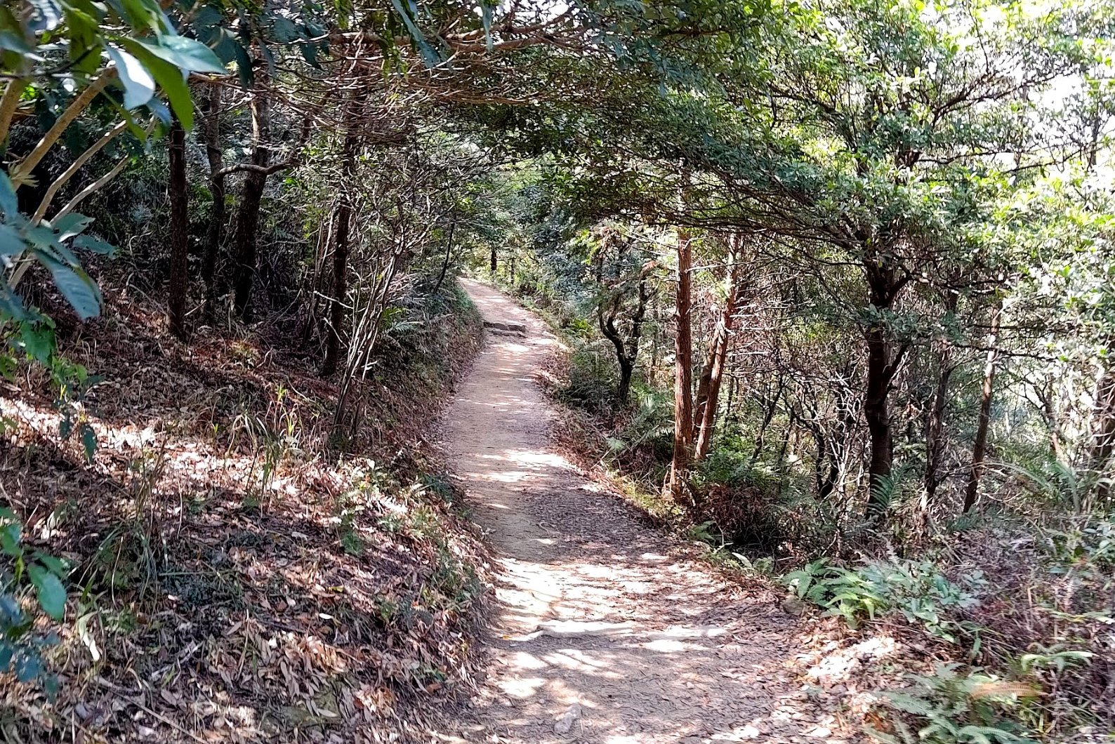

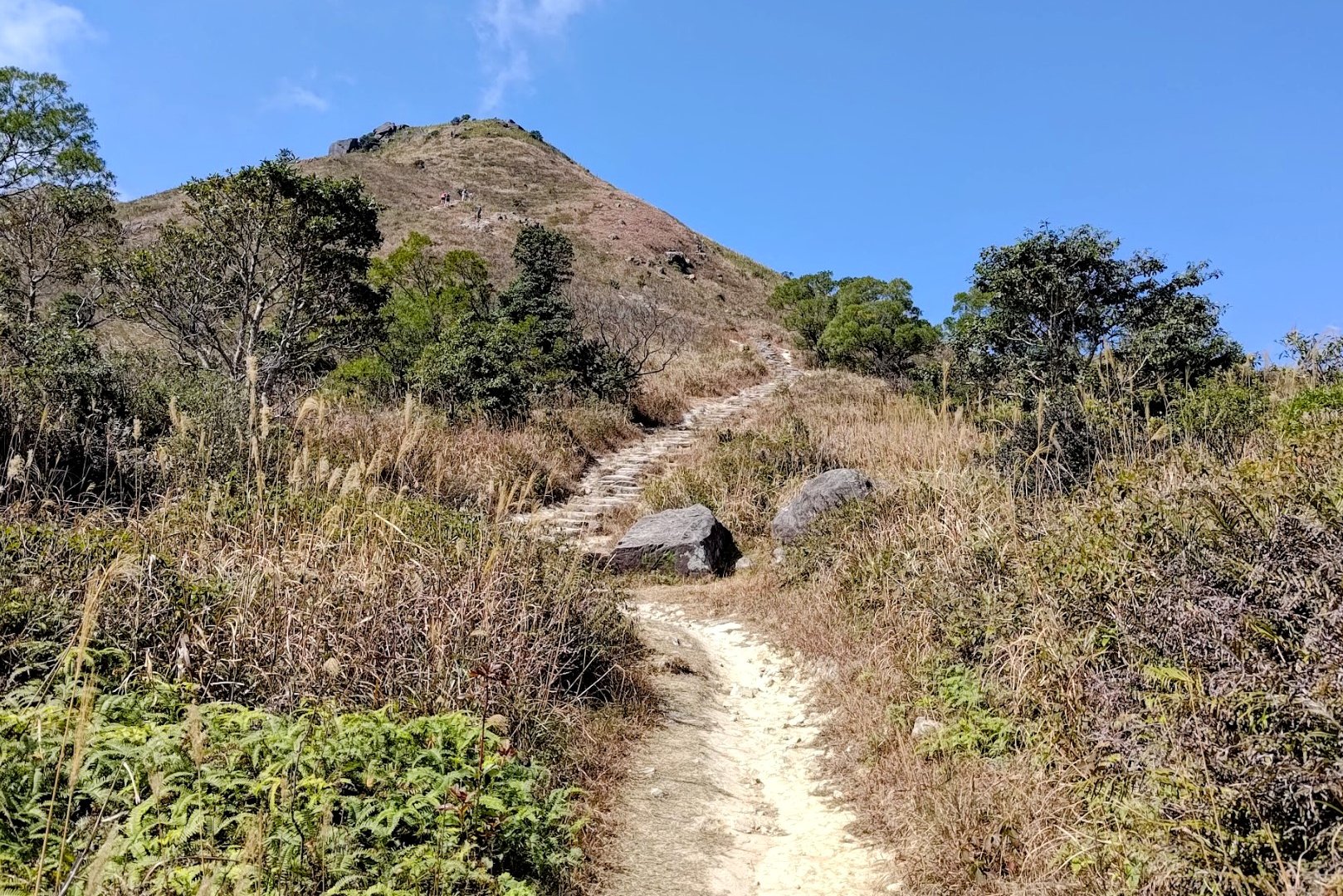
This section took around 25 minutes to complete but depending on your speed, it may be way more or less.
Right from the start, you'll be climbing up a long set of stairs, which will be quite challenging for those unused to tougher hikes. If it's a hot day, make sure to bring plenty of water because a lot of the hike will be completely open and unshaded.
When you reach the little sign that outlines the view, you've reached the first checkpoint.
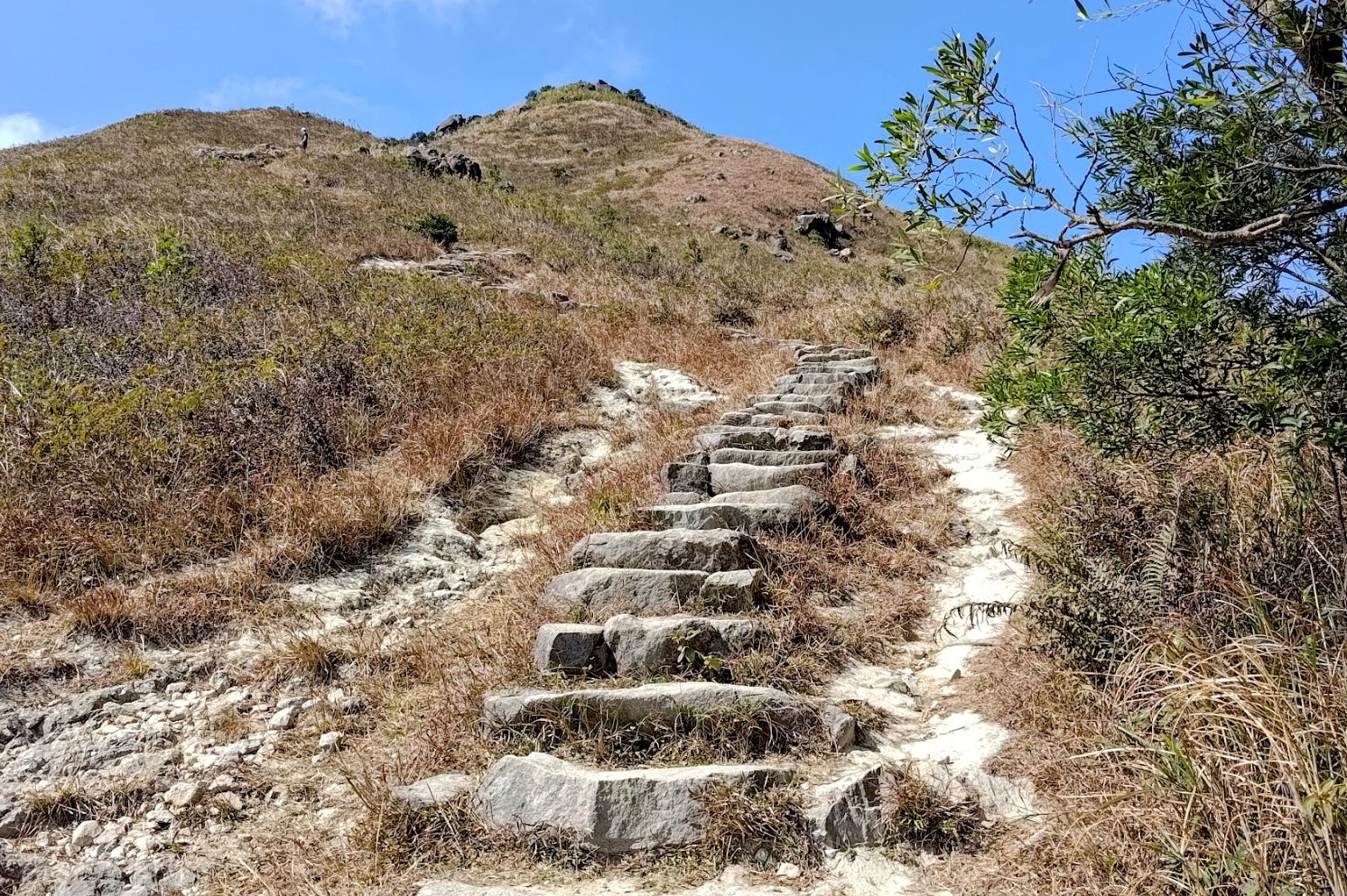
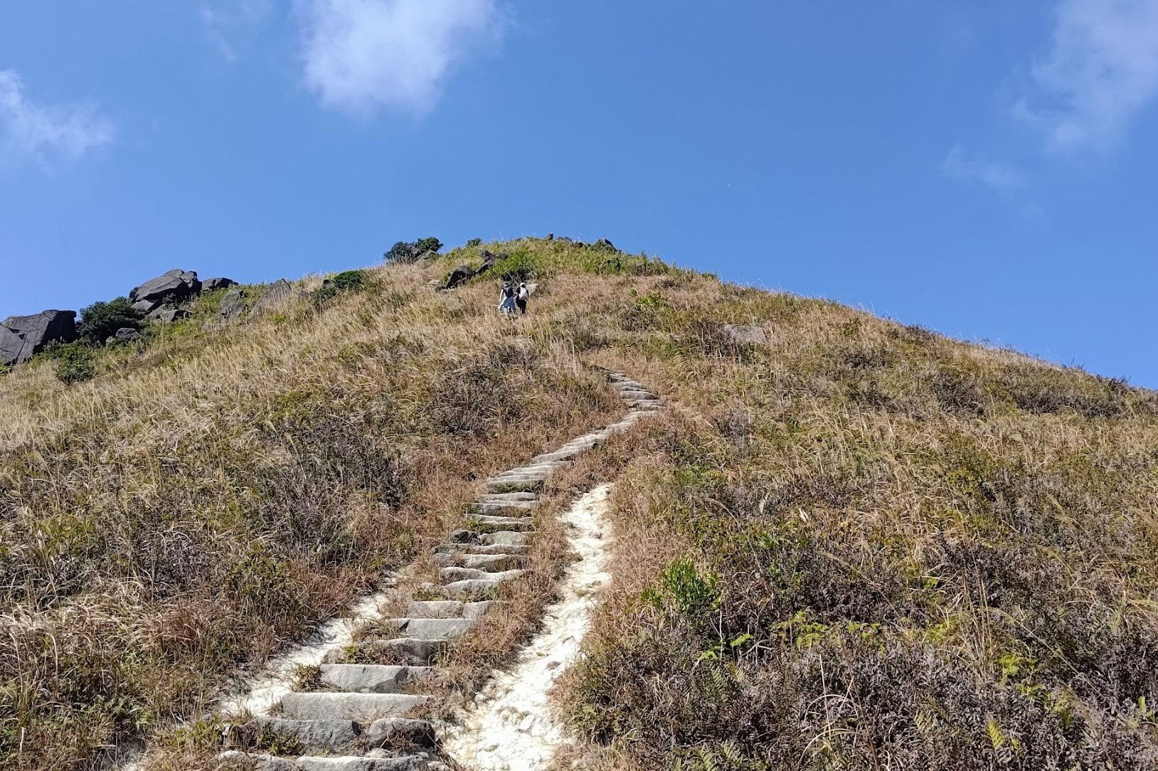
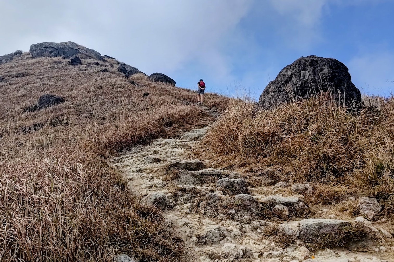
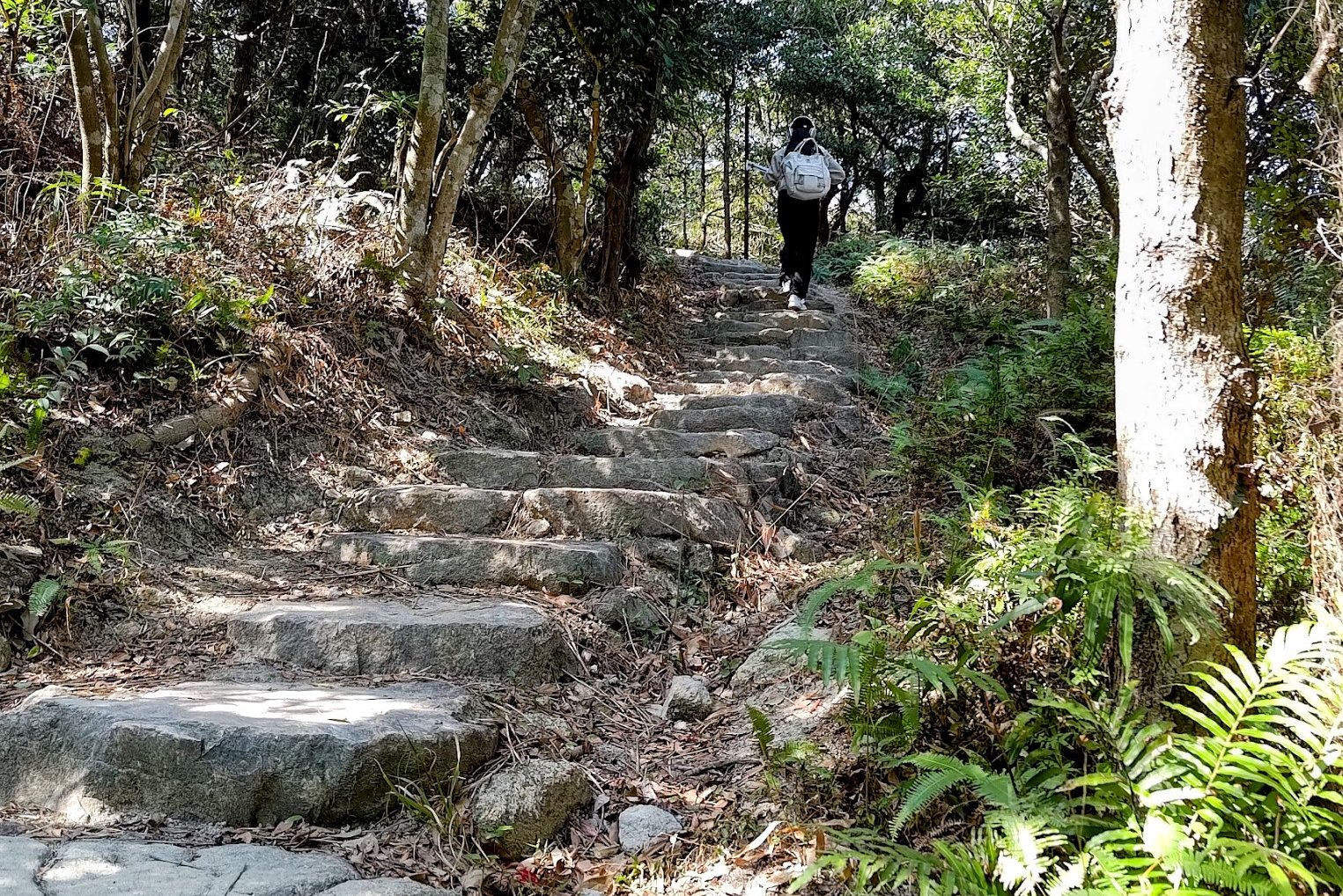
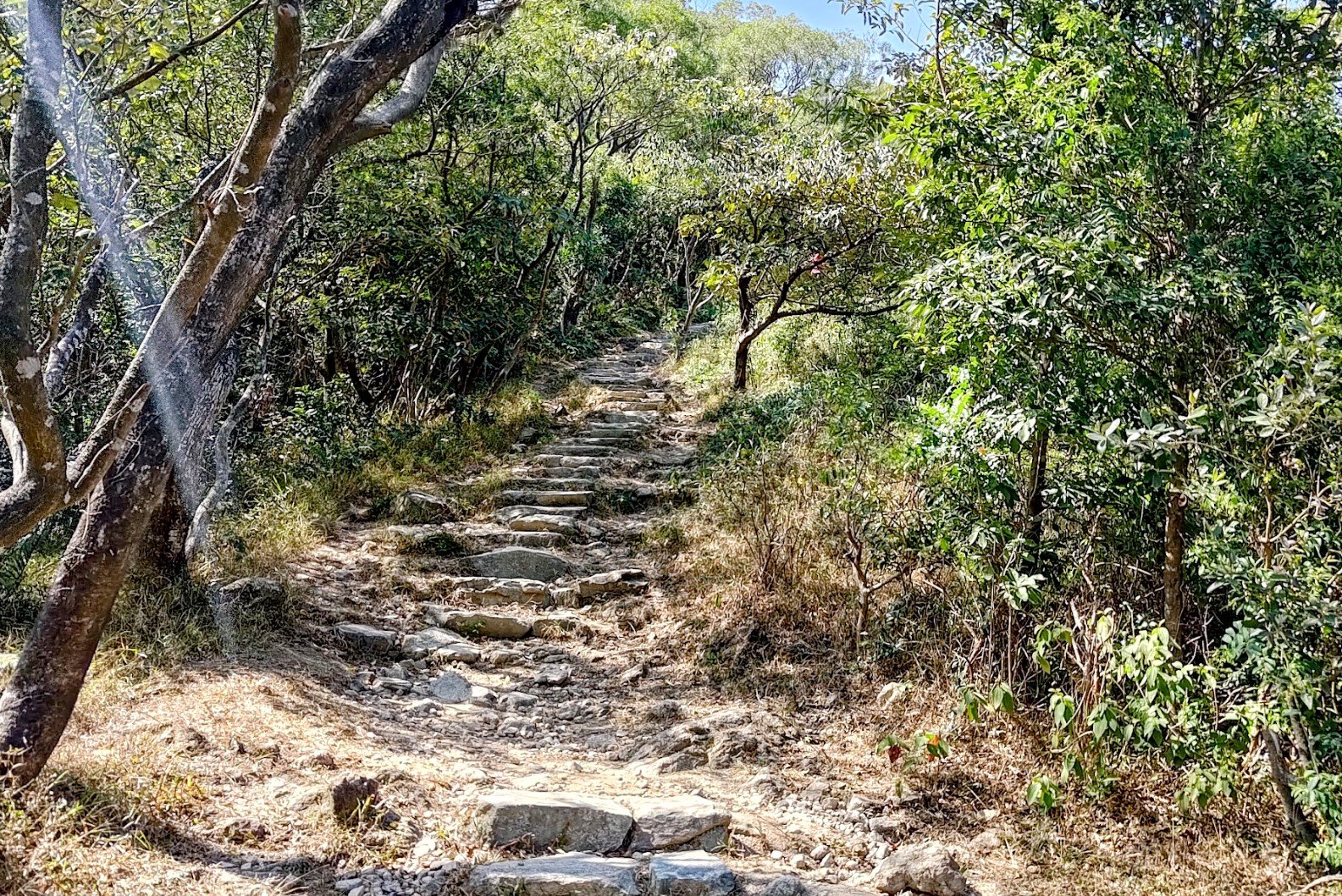
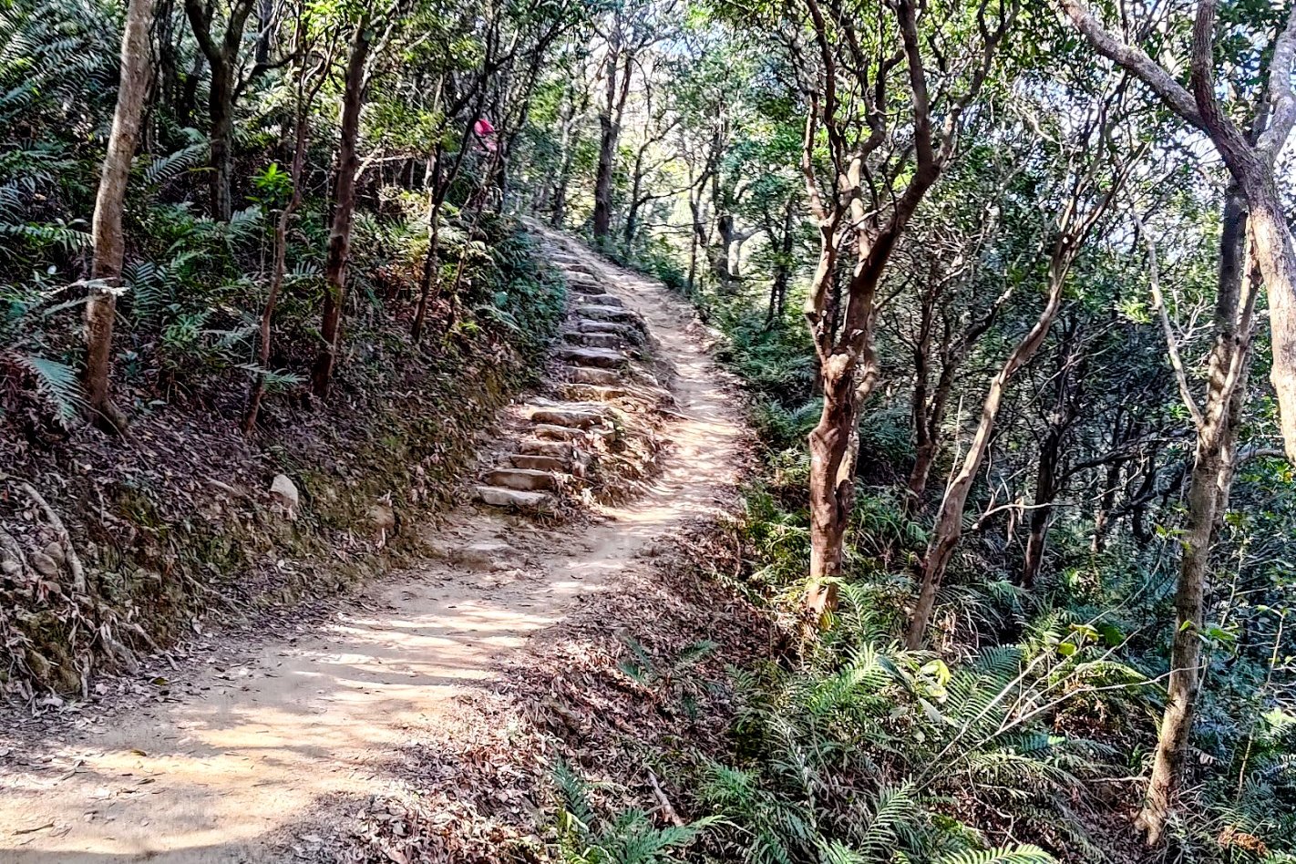
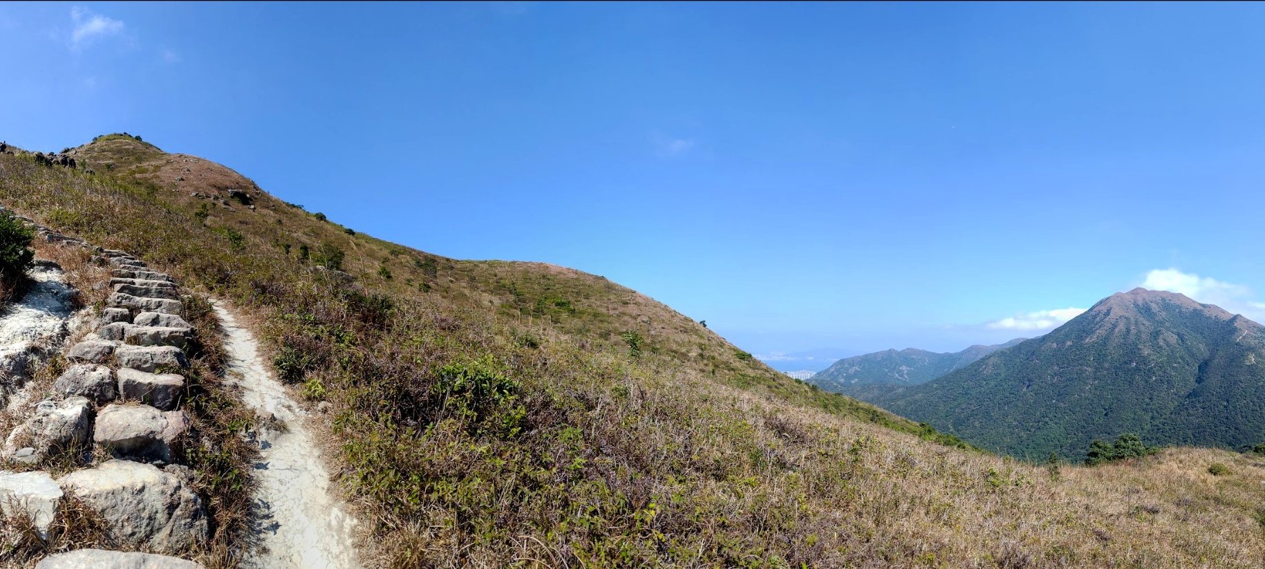
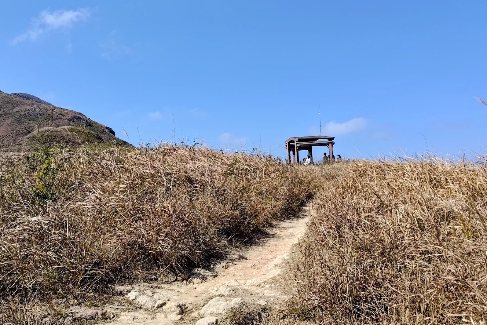
Steep Climb to the Summit
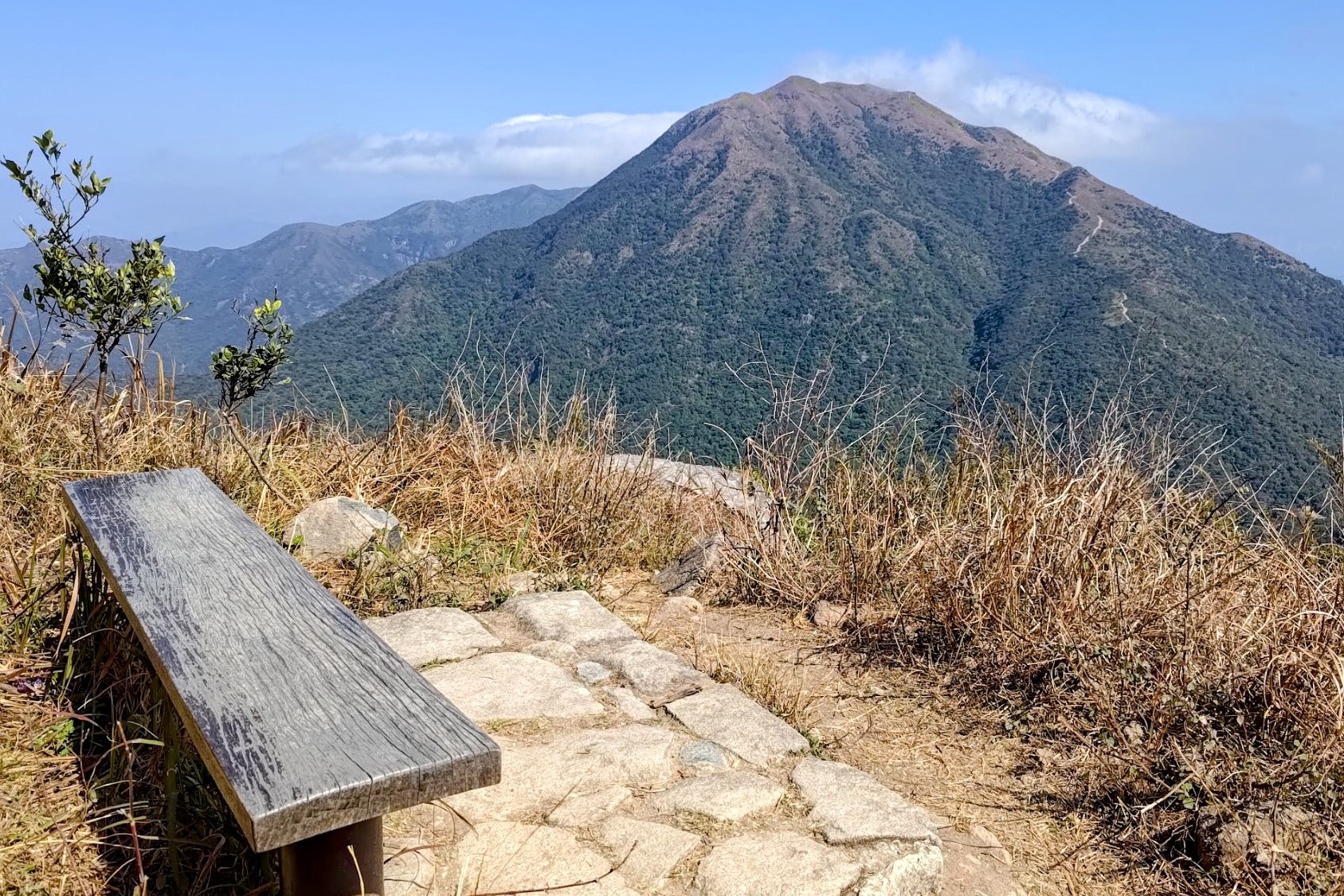
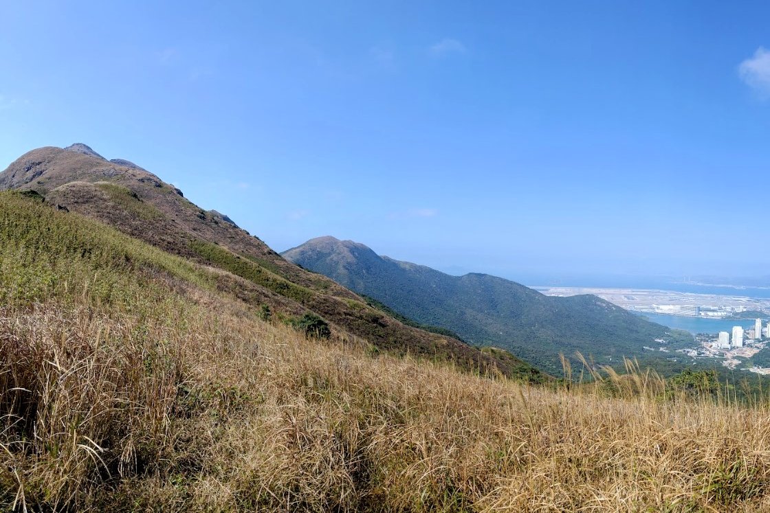
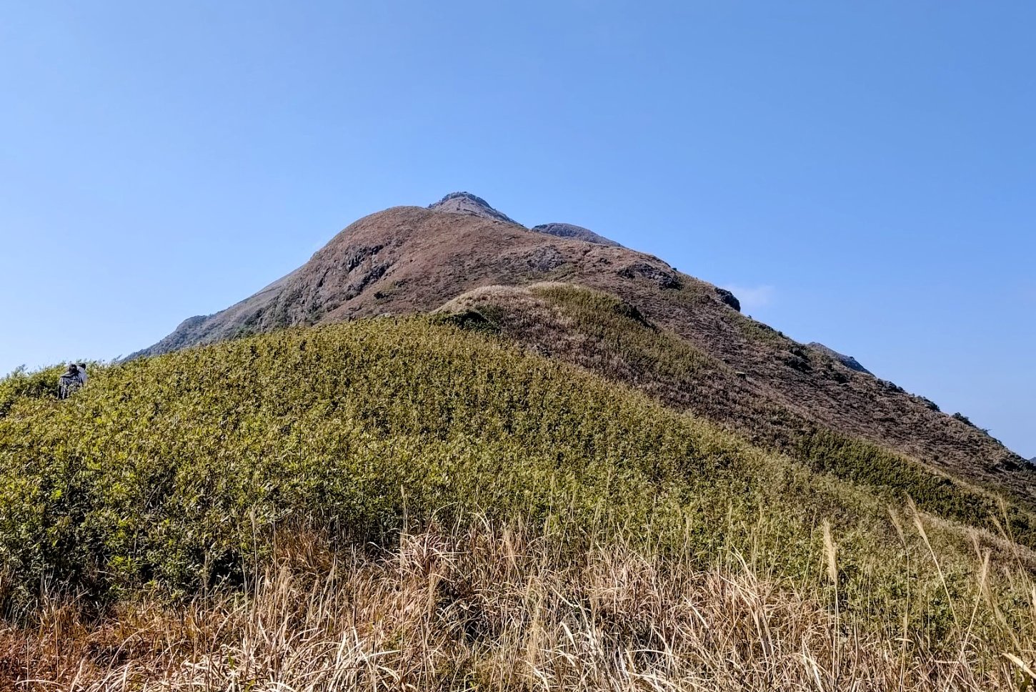
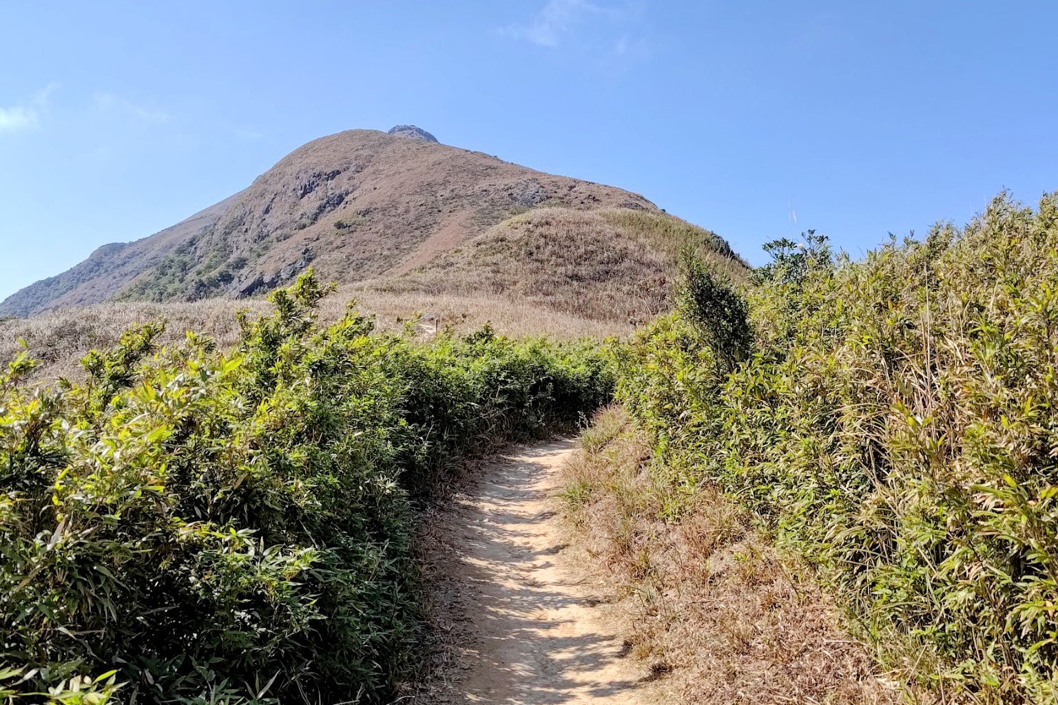
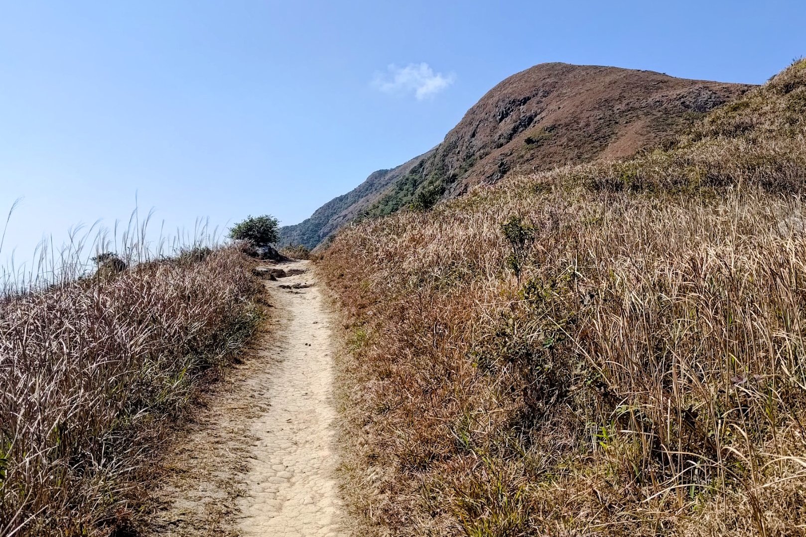
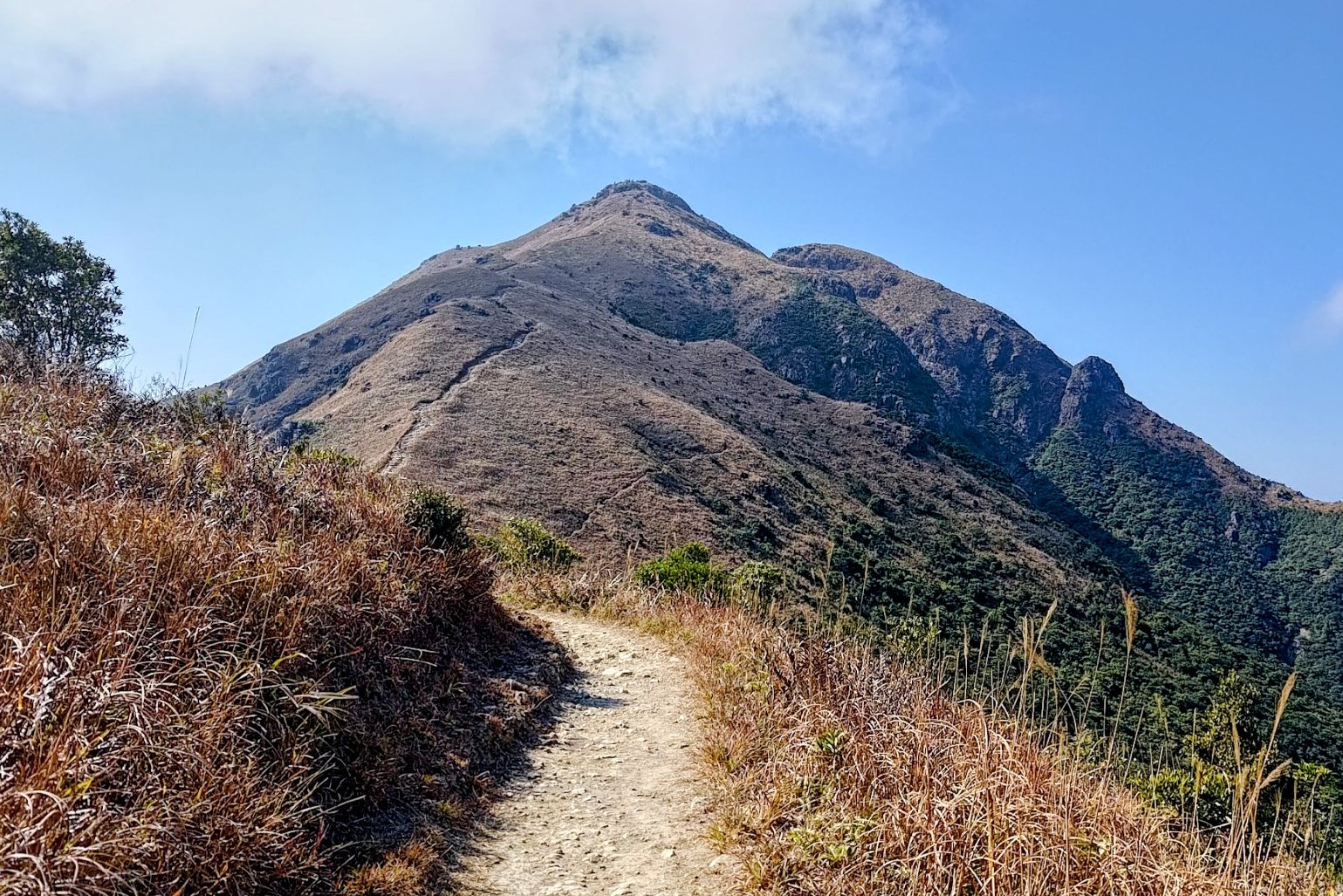

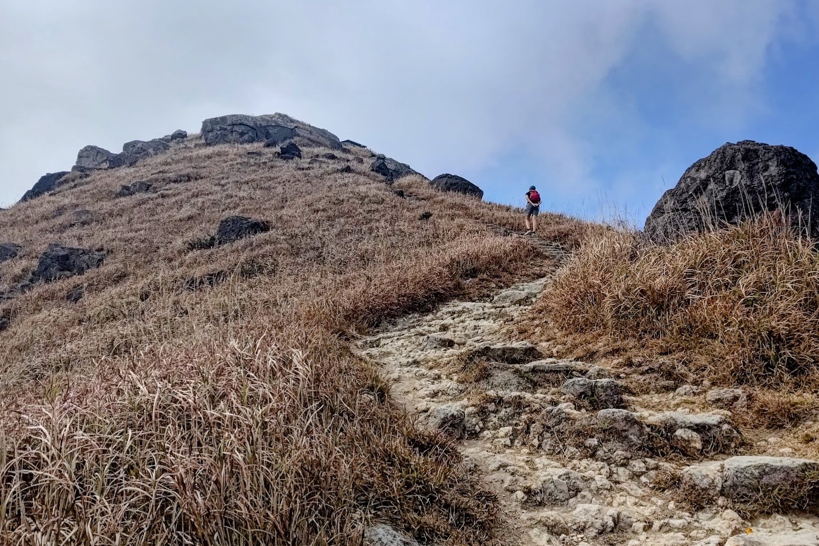
This section of intense climbing took about an hour with some resting along the way. Even though it's a seriously tough bit of climbing, the views will make it totally worth it.
There are a few rest points along the way, but don't expect any shade as you push to the summit.
The black and white trigonometrical station will indicate that you're at the top.
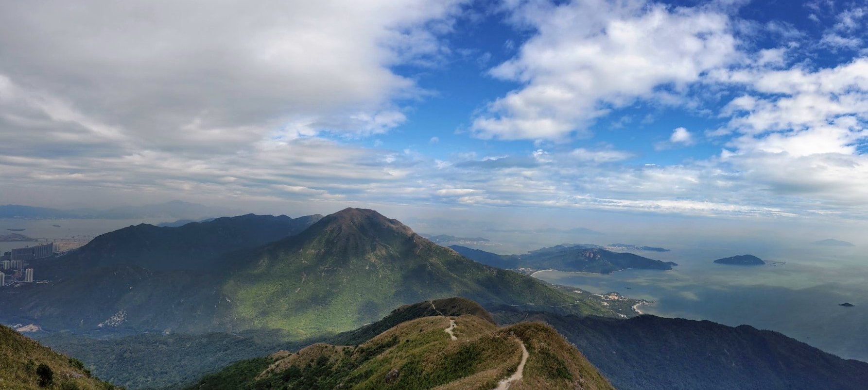
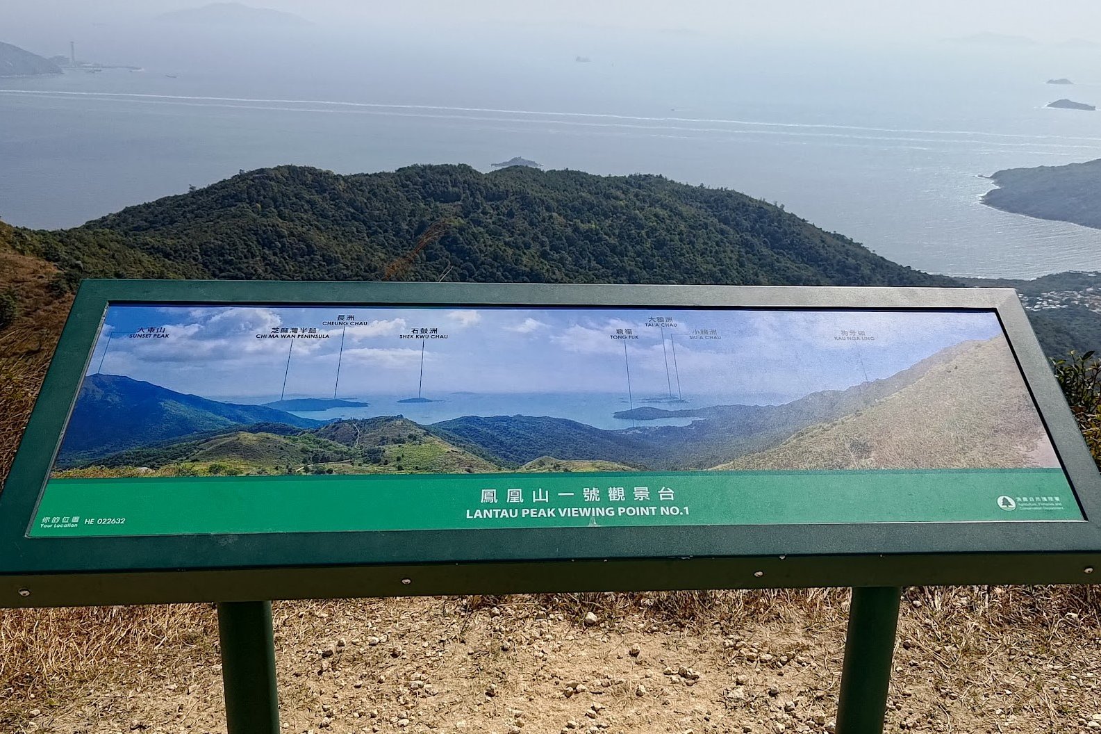
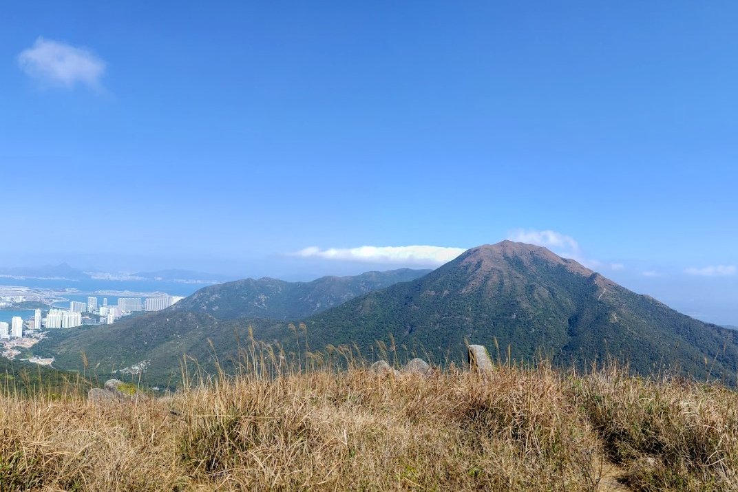
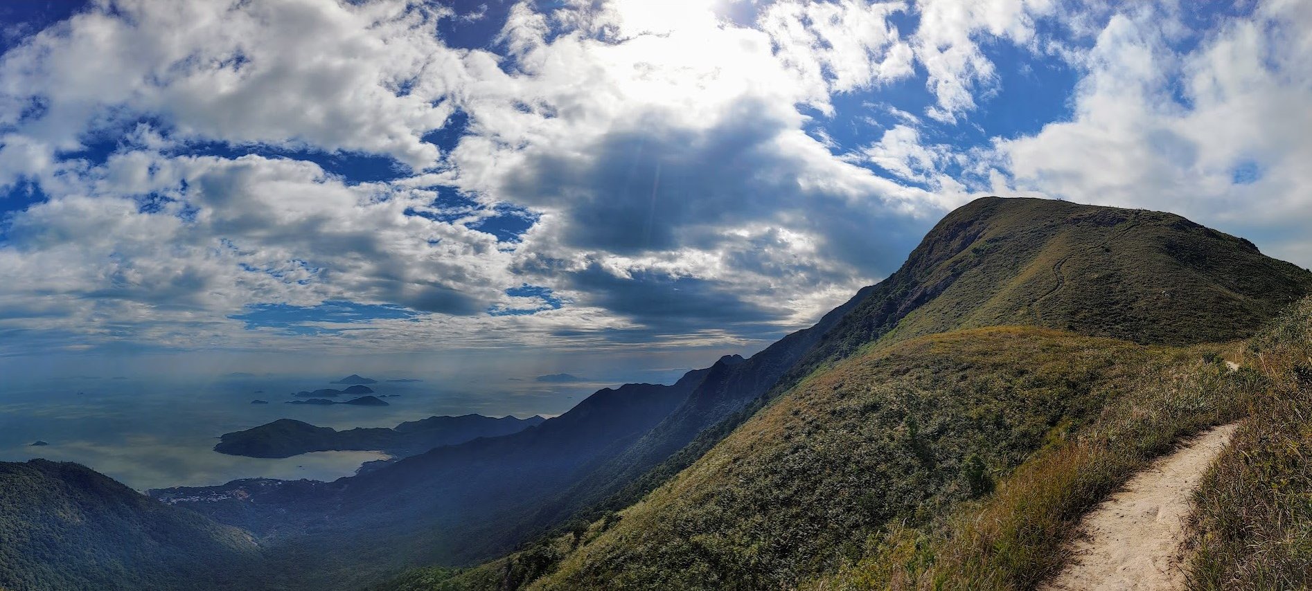
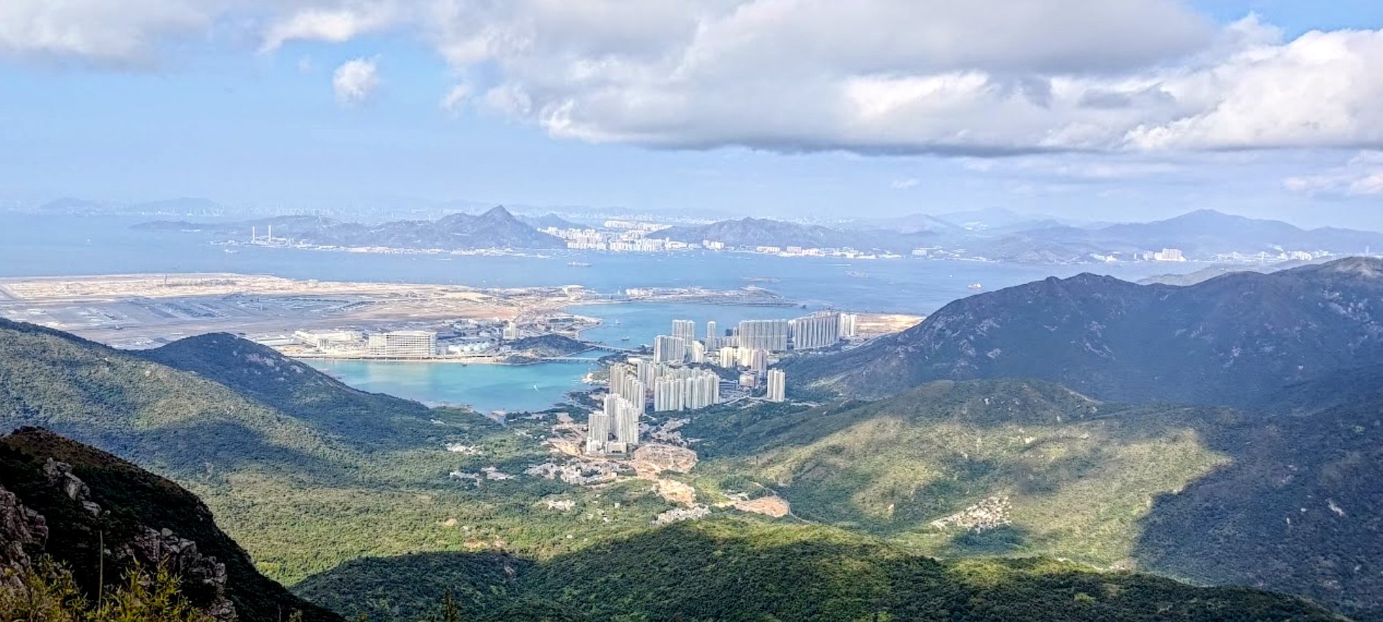
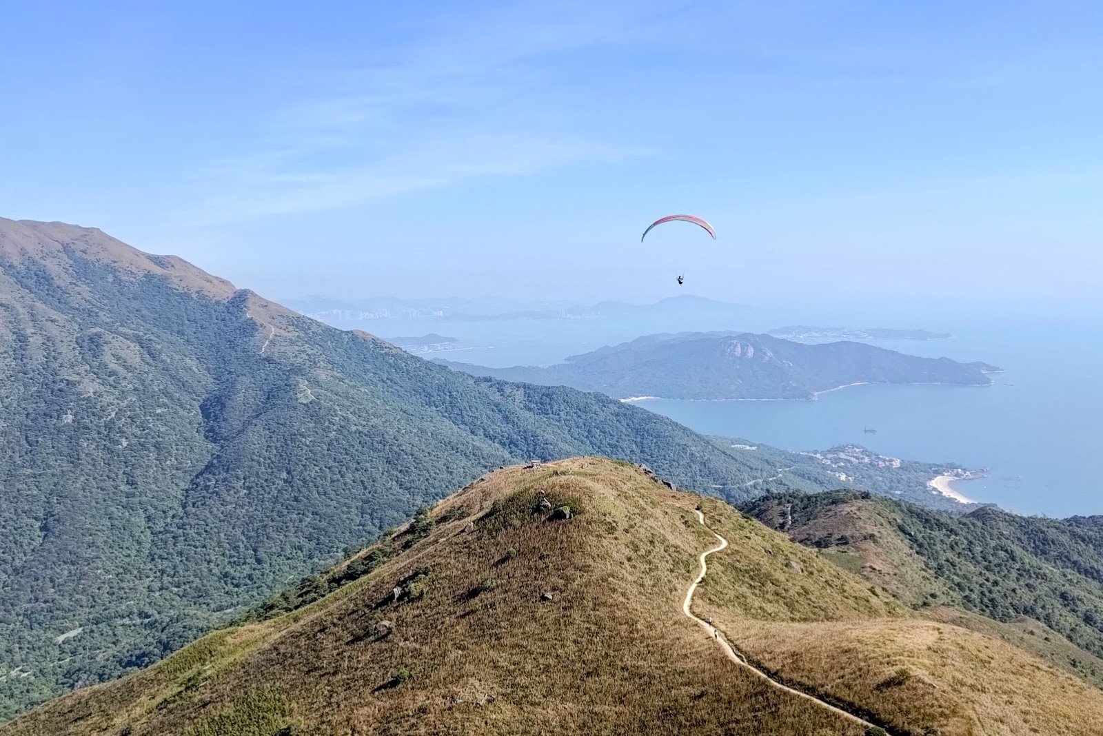
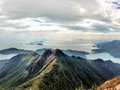
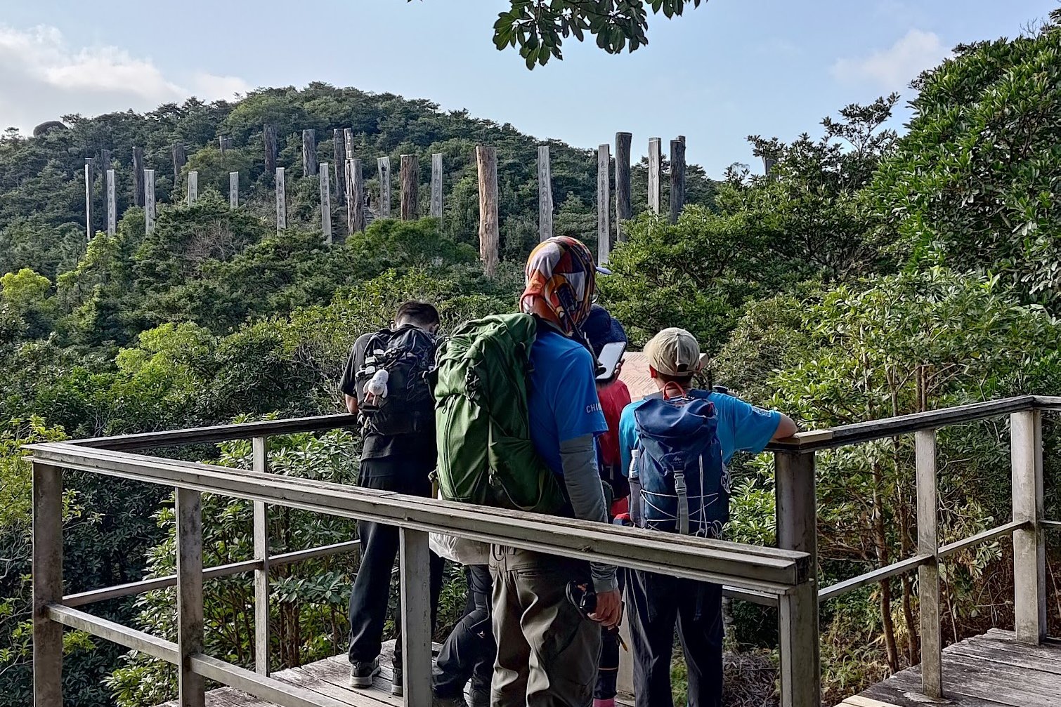
View from the Summit of Lantau Peak
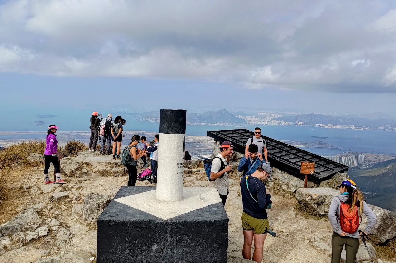
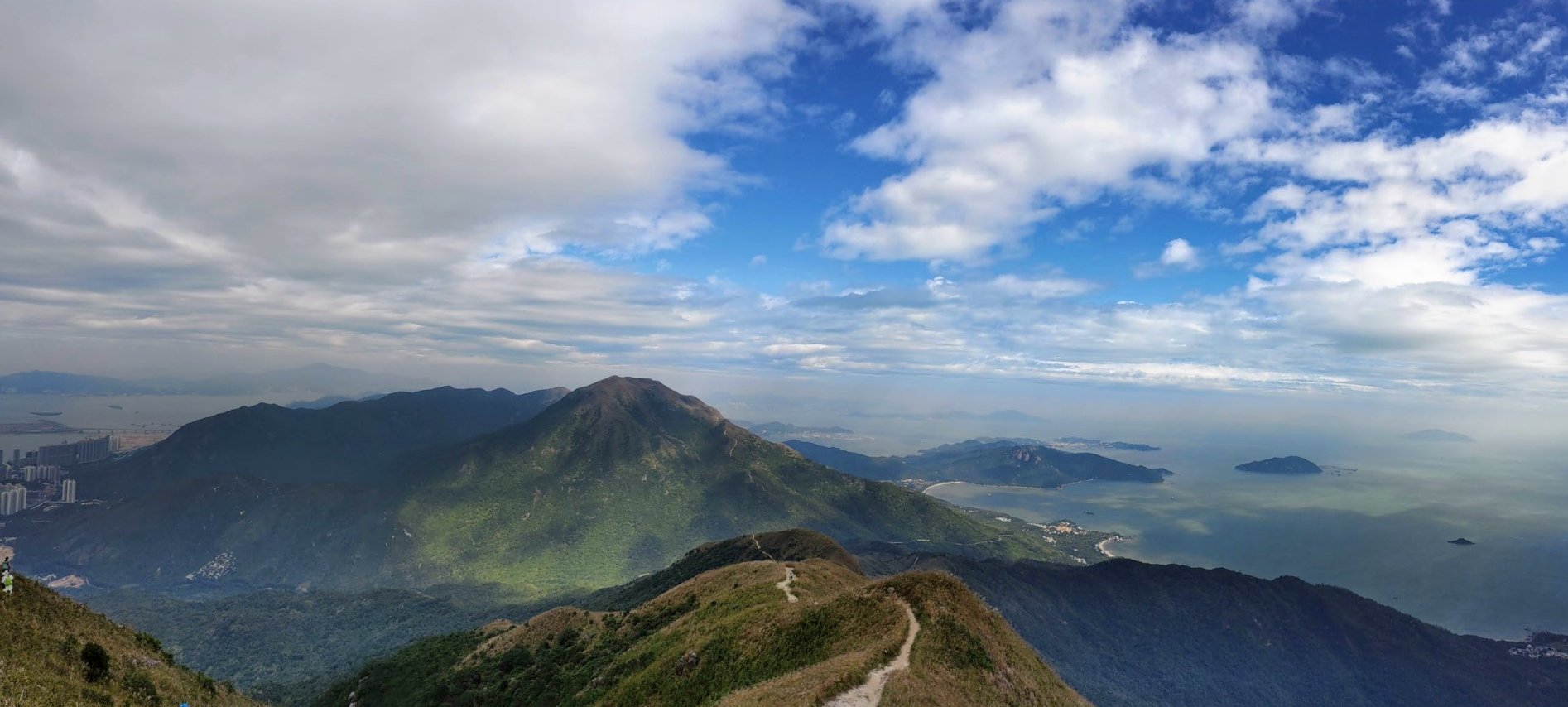
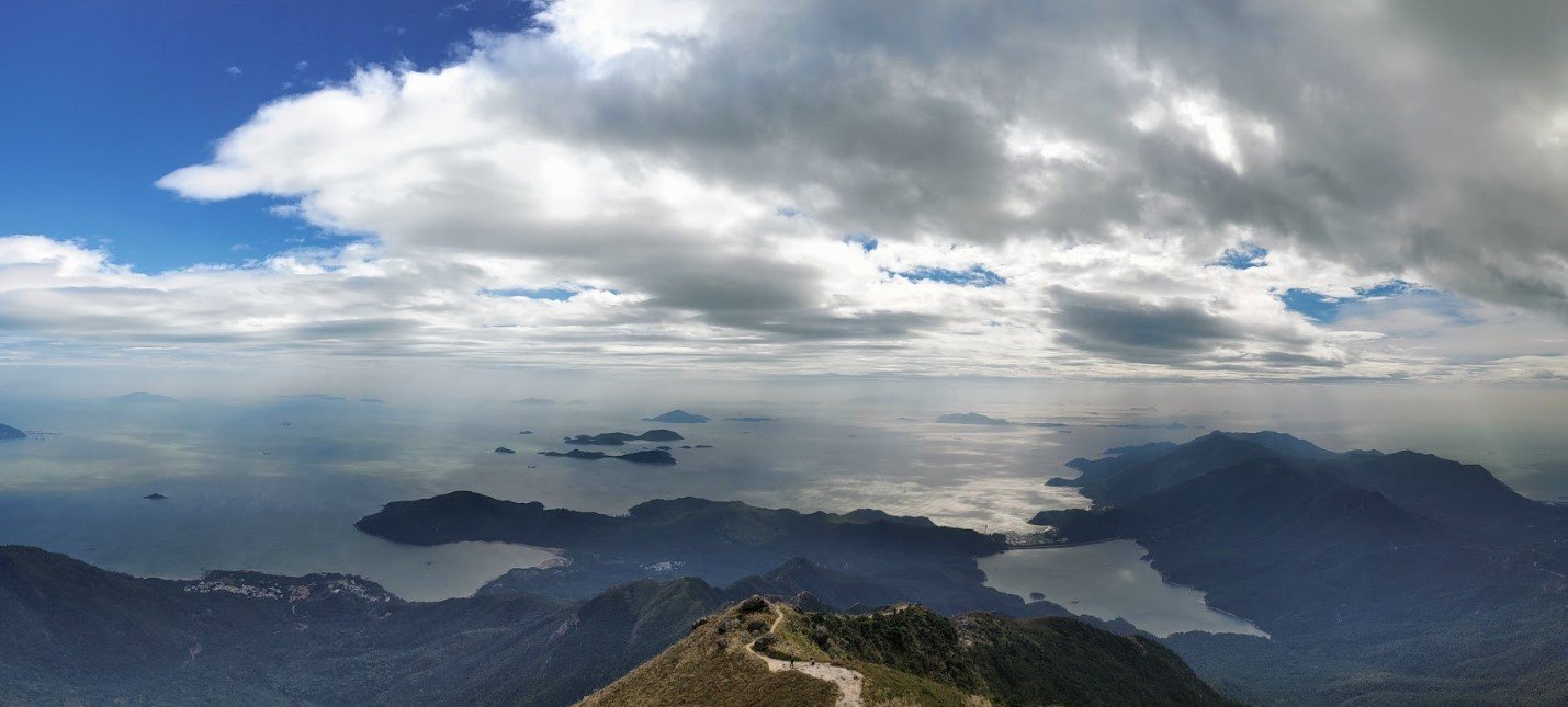
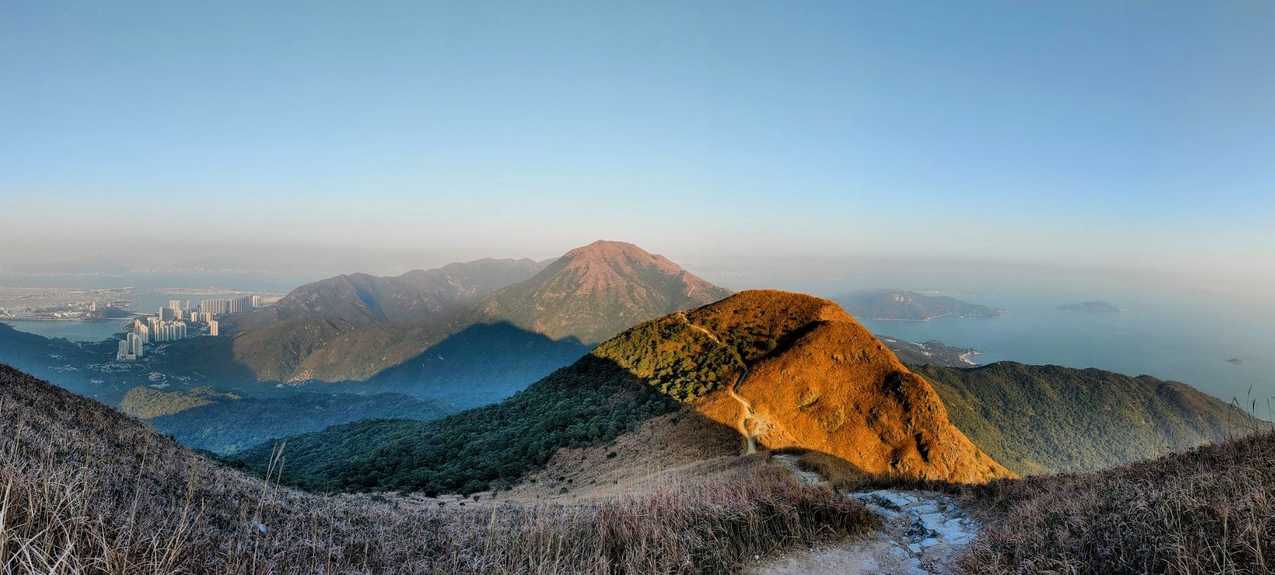
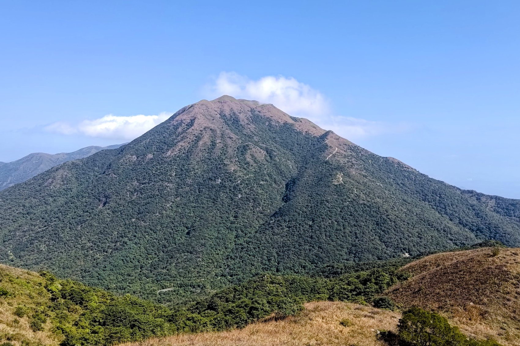
You'll have a 360-degree view from the top. On one side, you'll be able to see Sunset Peak and the airport. On the other side, you'll have views out over the ocean along with a view of West Dog's Teeth, which is another route up to Lantau Peak that's much tougher than this route.
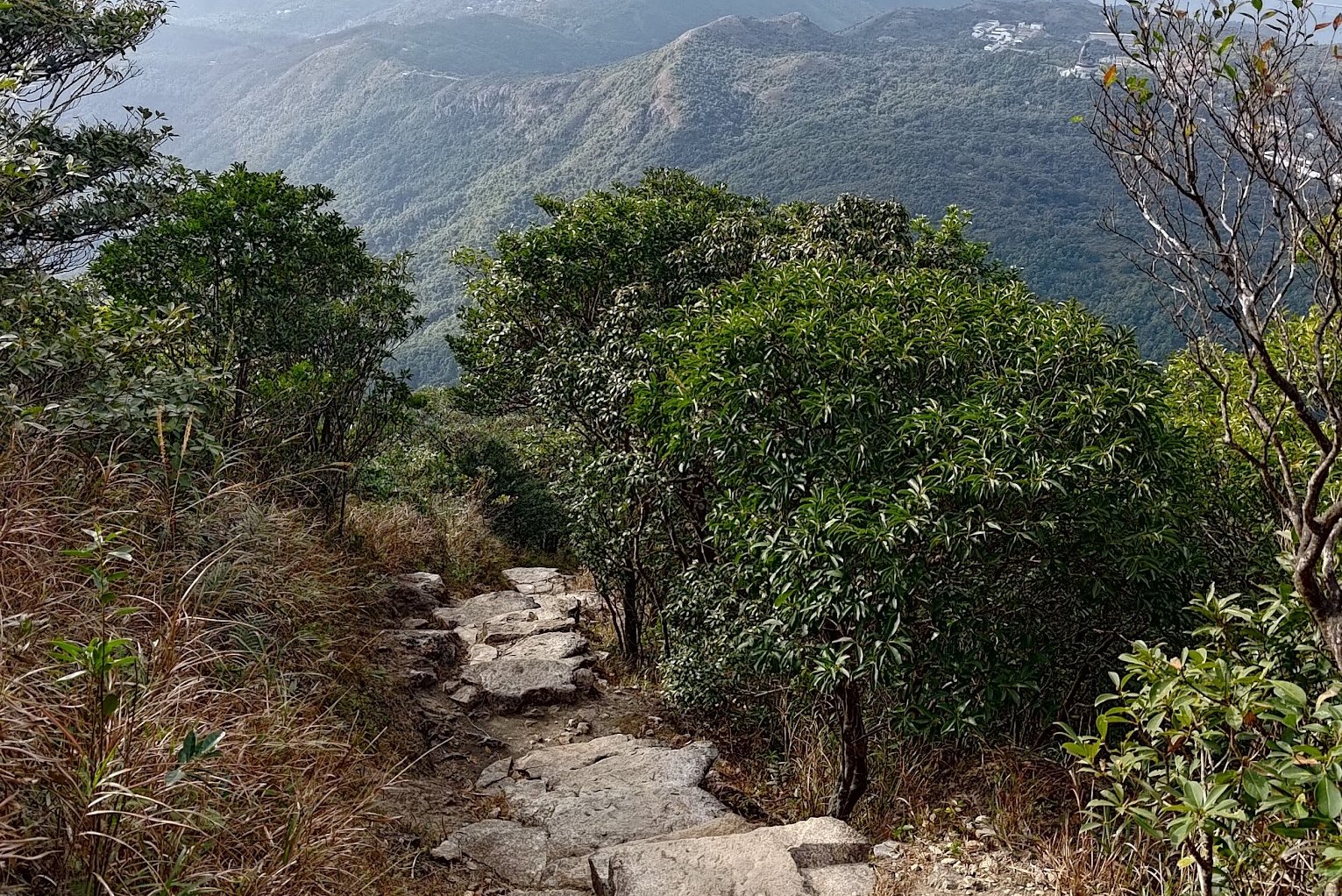
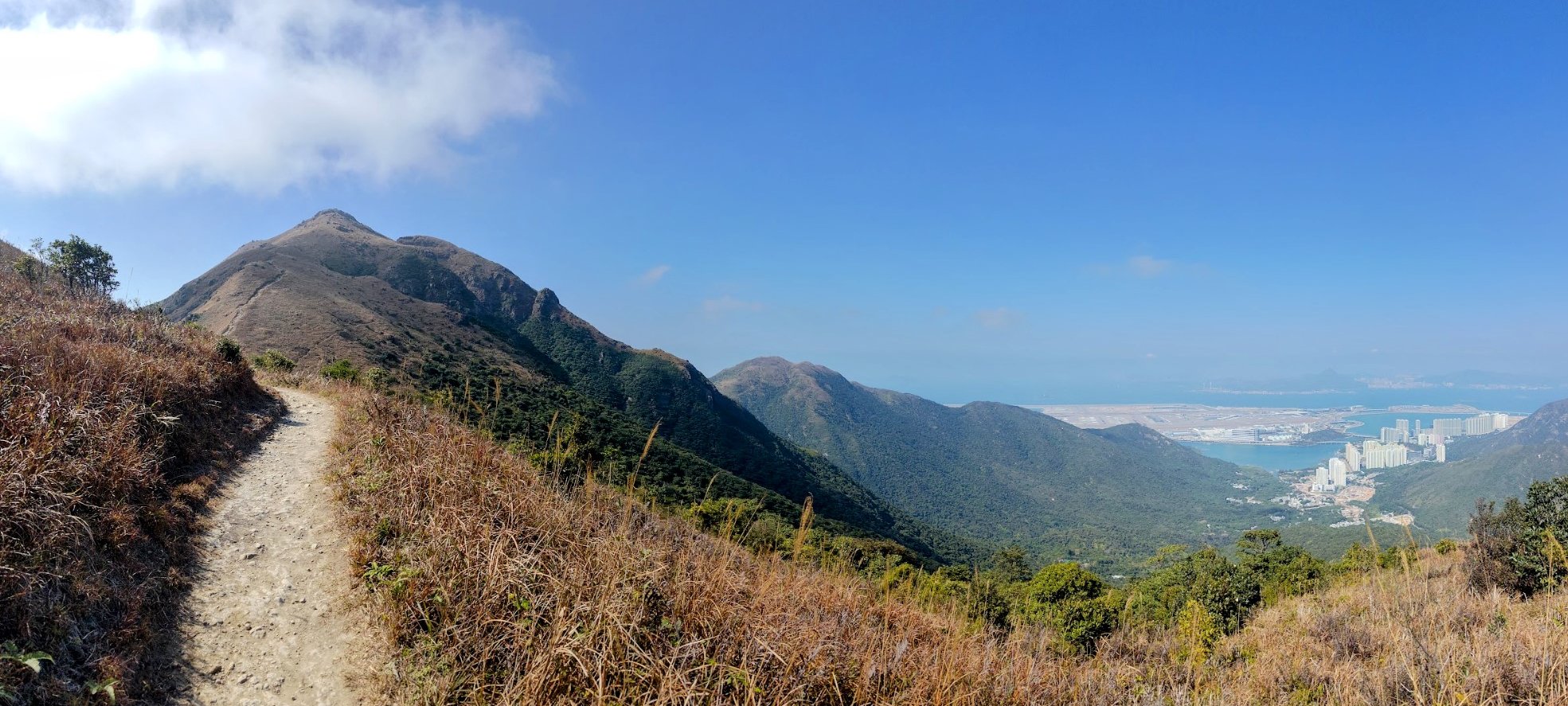
Getting to Ngong Ping Big Buddha

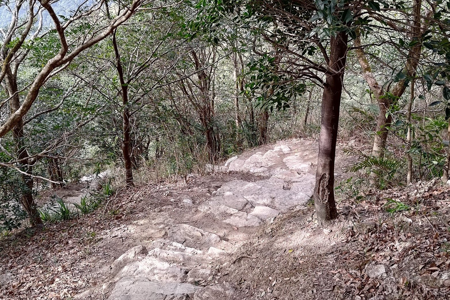
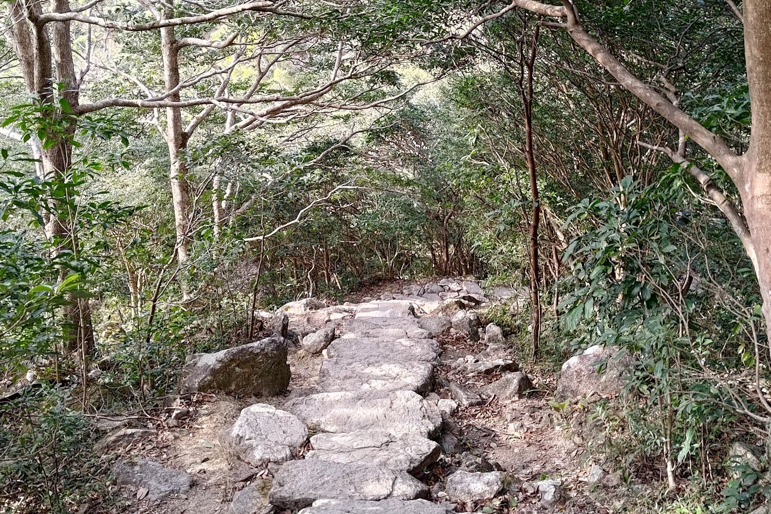


Look for the yellow sign pointing to Ngong Ping at the summit. You'll follow a staircase down for a while before seeing another yellow sign pointing to Ngong Ping.
There is another really long staircase down for about 300 meters here. It should take about 40 minutes to reach the Big Buddha (Ngong Ping) from the second yellow sign.
At the bottom of the staircase, a series of signs pointing to the Po Lin Monastery and Tian Tan Buddha Statue will ensure you don't get lost.
Buses go back to Tung Chung or Mui Wo and even Tai O from the Big Buddha. Just look for the bus terminus signs.
If you're looking for an easier way to hike to the Big Buddha, check out the Rescue Trail hike instead.

Getting Back
From Ngong Ping Village, you can get buses back to different parts of Lantau. The bus stop is located here.
From the bus stop, you can take the following buses:
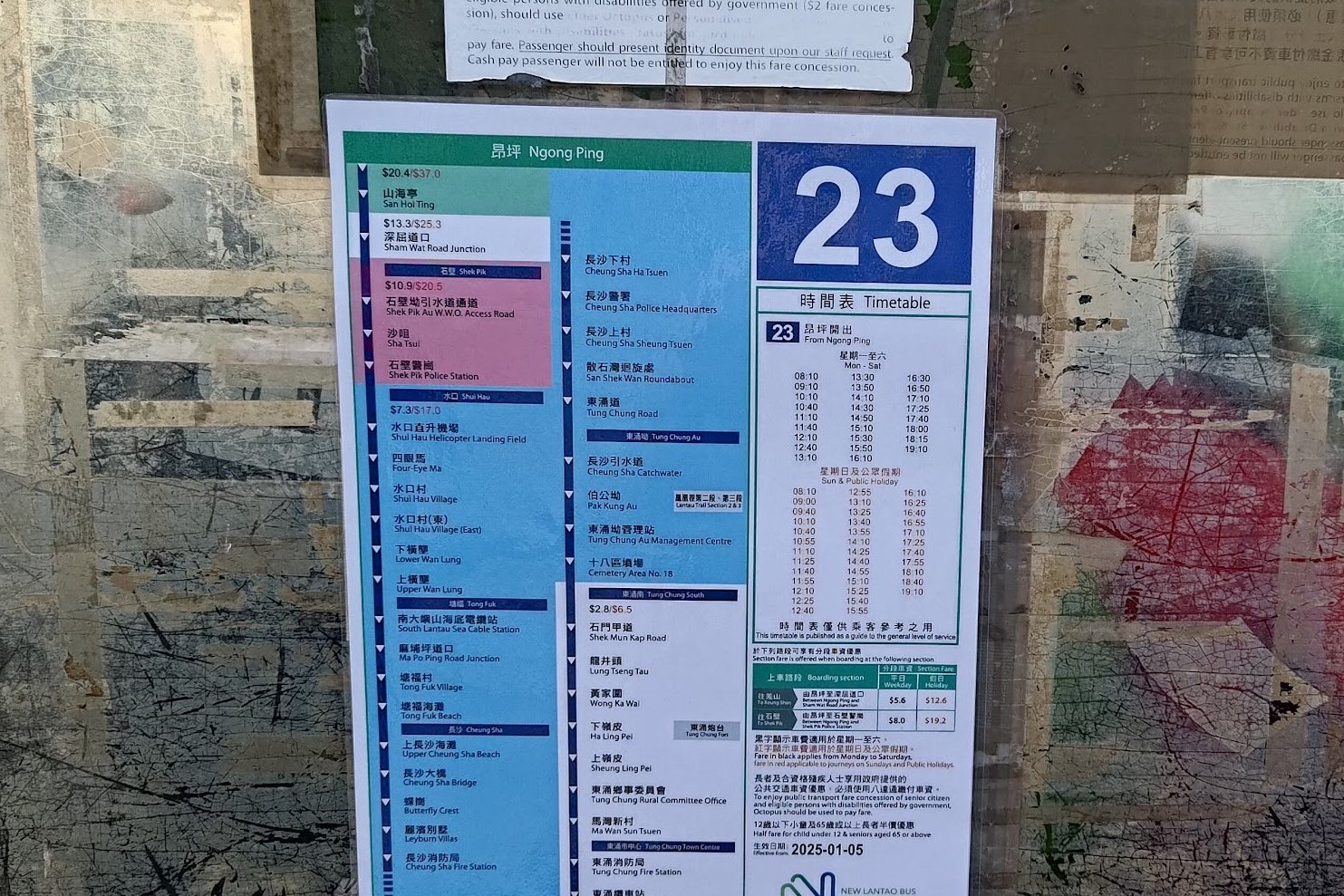
Bus number 23 to Tung Chung MTR Station
Bus number 21 to Tai O Fishing Village
Bus number 2 to Mui Wo Ferry Pier
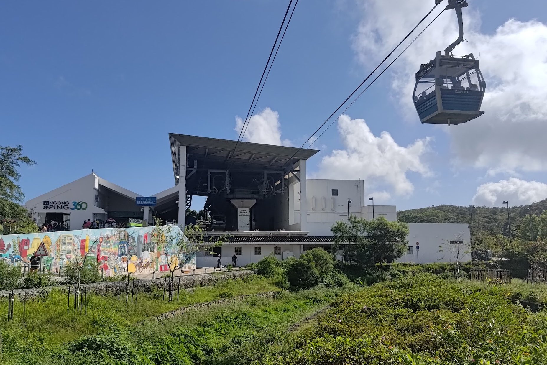
You can also take the cable car back to Tung Chung MTR. The cable car is located here.

