
Devil's Fist and Plover Cove: Hong Kong's Toughest Hike
Contents
- Essential Information
- Hike Highlights
- Why Devil's Fist is the Most Difficult Hike in Hong Kong
- Google Route map and GPX
- How to Get There
- Quick Route Summary
- Directions From 20R Last Stop
- Start Point: Wu Kau Tang Village
- The Trail to Kau Tam Tso
- Sheung and Ha Miu Tin Abandoned Villages
- Climbing Tai Tung
- 40 Minutes of Flat and Ocean Scenery
- Luk Wu Tung: Plover Cove and Devil's Fist Intersection
- Fung Wong Tau: Final Plover Cove and Devil's Fist Intersection
- 2 Hours of Undulation and Torture
- Coastal Push to the Devil's Fist
- Devil's Fist Views
- Return Back to Fung Wong Tau
- 30 Minutes of Rough Terrain to the Main Trail
- Plover Cove Reservoir Country Trail
- Plover Cove Sub and Main Dam to Tai Mei Tuk
- Getting Back
Essential Devil's Fist Hike Details
- District: New Territories
- Duration: 11-12 hours for Devil's Fist and Plover Cove, 6 hours for only Plover Cove
- Distance: 31-32km for Devil's Fist and Plover Cove, 18km for only Plover Cove
- Highest Elevation: 298 meters
- Difficulty: 6/5 for Devil's Fist (that’s not a typo. This hike breaks the scale because it’s so much harder than other 5/5 hikes), 4.5/5 for Plover Cove
- Facilities: None. Bring loads of water (I ran through 5 liters) and bring food as well
Why Hike Devil's Fist? (You Really Shouldn't)


Honestly, Devil's Fist, or Wong Chuk Kok Tsui (黃竹角咀), is a route I will never do again. It was an absolute slog with almost zero payoff (even though the Devil's Fist rock is 400 million years old). Unless you’re a glutton for punishment or a hiking completionist, there are other tough hikes in Hong Kong with much better scenery.
You can also visit the Devil’s Fist directly by boat. That knowledge just made the journey all the more hellish.
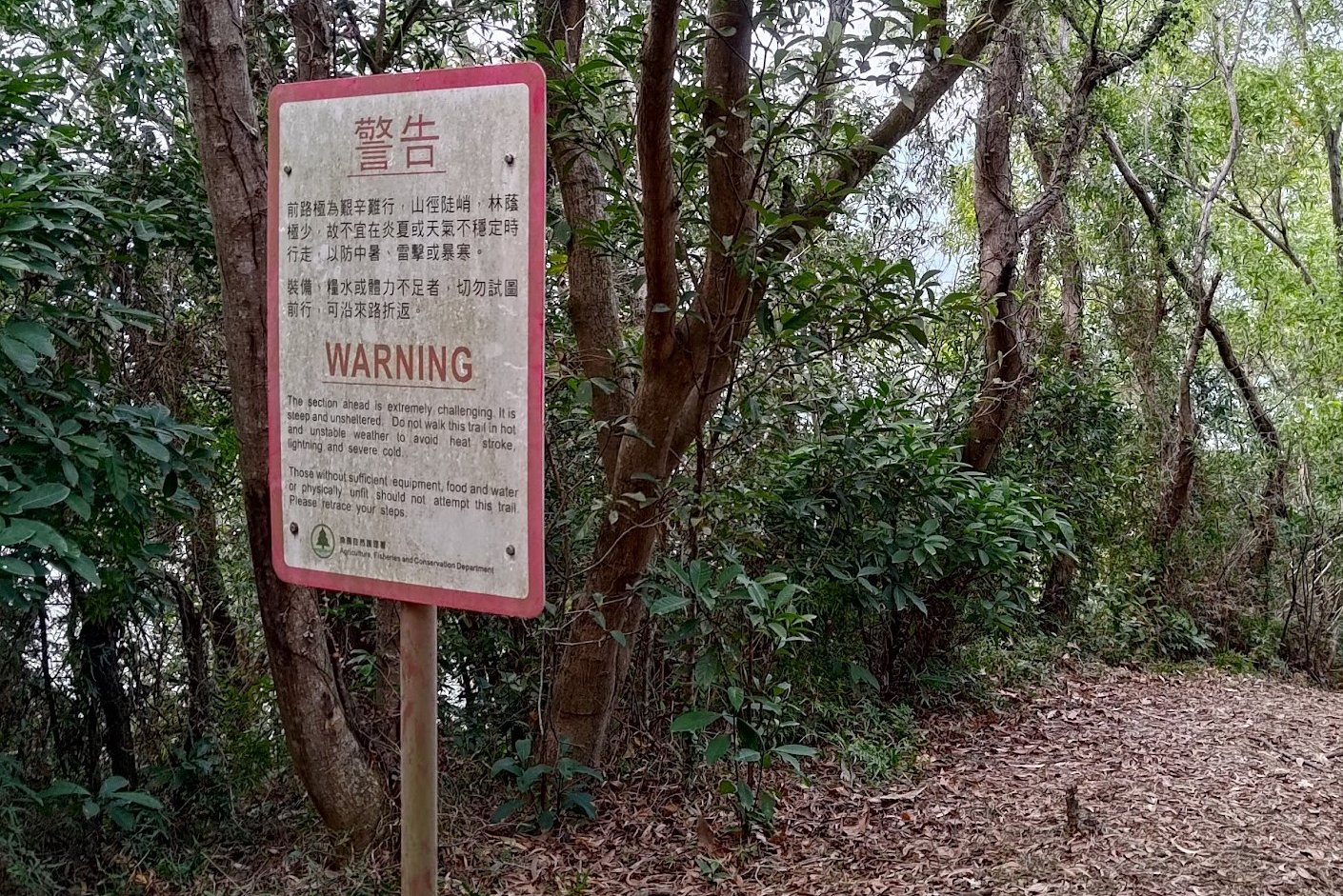
Given that the full journey requires between 11 and 12 hours to finish, the Devil’s Fist Hike is notorious amongst Hong Kong’s hiking community for its difficulty. The trail isn’t just long with constant ascents and descents, it’s also rather technical in parts, requiring sure footing. The route is also quite isolated, meaning that you are unlikely to run into a lot of people to help you if you get into a bind. A lot of the journey is out of cellphone range, as well.
This Hike Can Essentially Be Split Up into Three Sections.
Section 1: Wu Kau Tang Village - Luk Wu Tung
The first section is from Wu Kau Tang village to Luk Wu Tung, where you decide if you want to go to the Devil’s Fist or not. This section is pleasant, with only one major uphill section up Tai Tung.
Section 2: Devil’s Fist Intersection - Devil’s Fist - Devil’s Fist Intersection
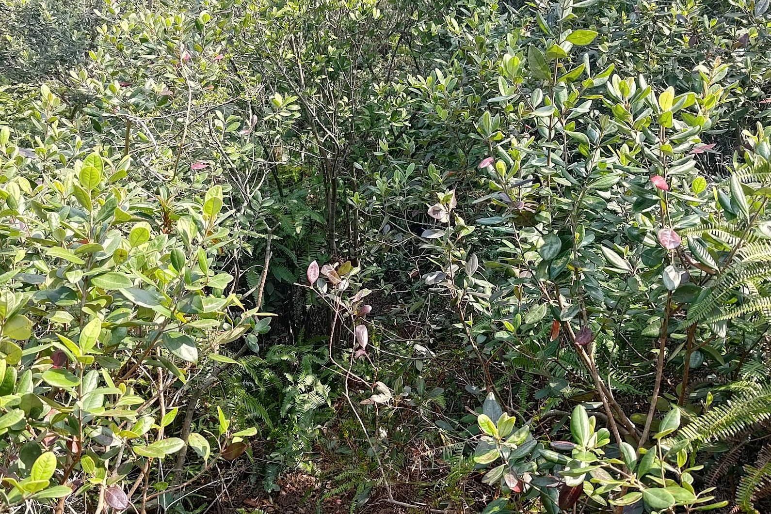
The second portion of the hike is by far the most challenging, and it is the journey to the Devil's Fist and back from an intersection just beyond Luk Wu Tung. You will get scratched by thorny plants, constantly climb and descend, contend with slippery paths full of loose rocks, use ribbons to guide you, have to navigate the coastline for a bit, all to check out a rock that’s about 2 meters tall. The worst part is that you’ll have to make the same journey back in reverse to the intersection.
Section 3: Devil’s Fist Intersection - Tai Mei Tuk Village
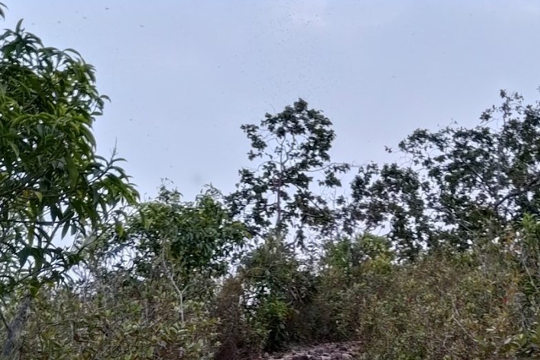
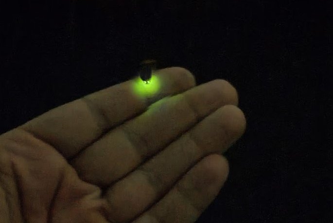
The third portion of the hike is hiking to Tai Mei Tuk. This section is easier than the Devil’s Fist portion once you’re on the main trail, but it’s also full of undulations and a few sharp inclines and descending portions with loose rocks that try to trip you. Weirdly, there were clouds of odd little flies (thousands of them in total) that hounded me and flew around my face for about an hour until I reached the Plover Cove Reservoir Sub Dam.
Precautions
If you attempt this hike, bring A LOT of water and food. Let people know where you’re going so that if you get in trouble, someone will know where you are. Wear proper shoes and opt for long pants so you minimize how much you get scratched. Absolutely DO NOT do this hike in the summer. You will roast alive as much of the route is exposed.
If you want to attempt a more manageable hike in the same area, hike to Lai Chi Wo instead.

Why Devil's Fist is the Most Difficult Hike in Hong Kong
Simply put, the risk to reward is not worth it.
I had to endure the following risks:
- A rogue branch almost poking out my eye
- Constant thorns scratching at my legs and arms
- Tree limbs whacking me in the head
- I almost slipped and fell off a steep slope when part of a rough trail collapsed under my left leg
- Unstable downhill sections with loose rocks that almost caused me to eat dirt multiple times
- I got lost for about 15 minutes because I took my eye off the ribbons briefly (my fault)
- Took about 10 spiderwebs to the face
- Had to fend off clouds of flies for an hour near the end that just wouldn't stop buzzing around my face
- If it’s hot, you really suffer
- If the weather isn’t great, you won’t have awesome views to distract you
- You have to get the bus from Tai Po Market Station at 6:40am at the latest, so it’ll be a very early start
My reward:
- A rock that can be visited safely by boat
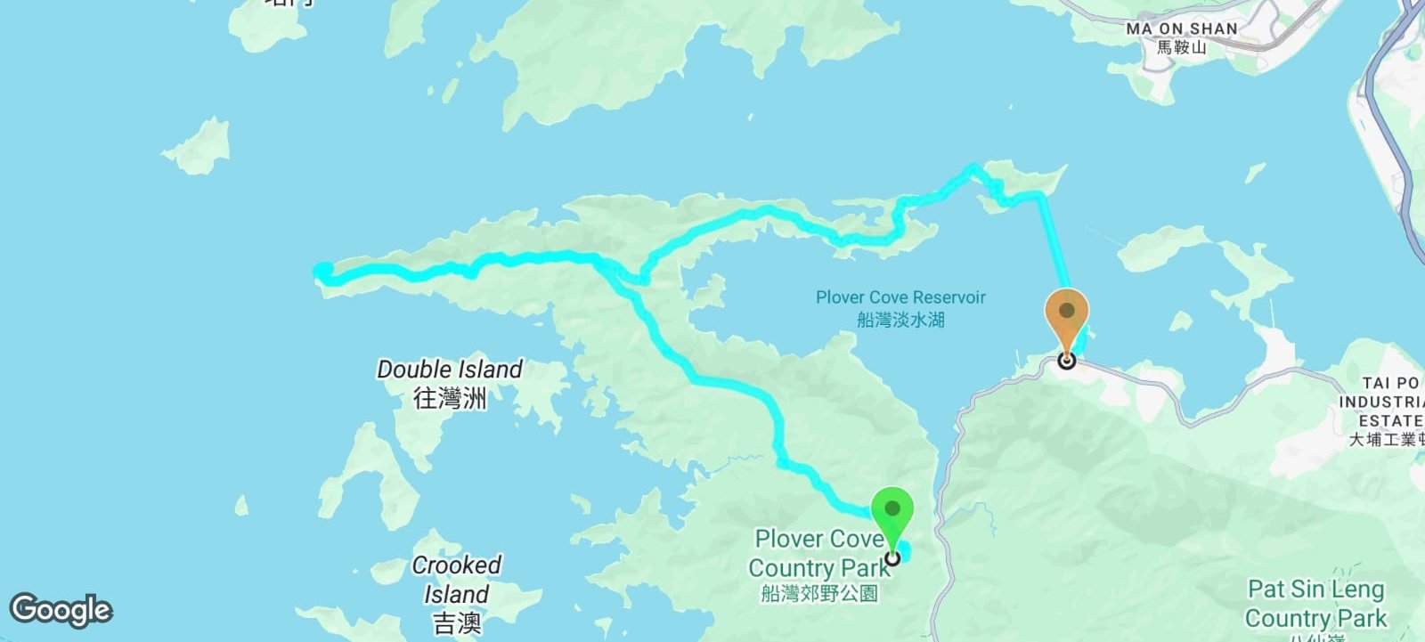
Devil's Fist Google Route Map and GPX
*Click the box icon in the top right of the map below to load the blue route directly into your own Google Maps. You can then see your location relative to the trail in real time!
How to Get to the Devil's Fist Hike Start Point


To get to the Devil's Fist hike start point:
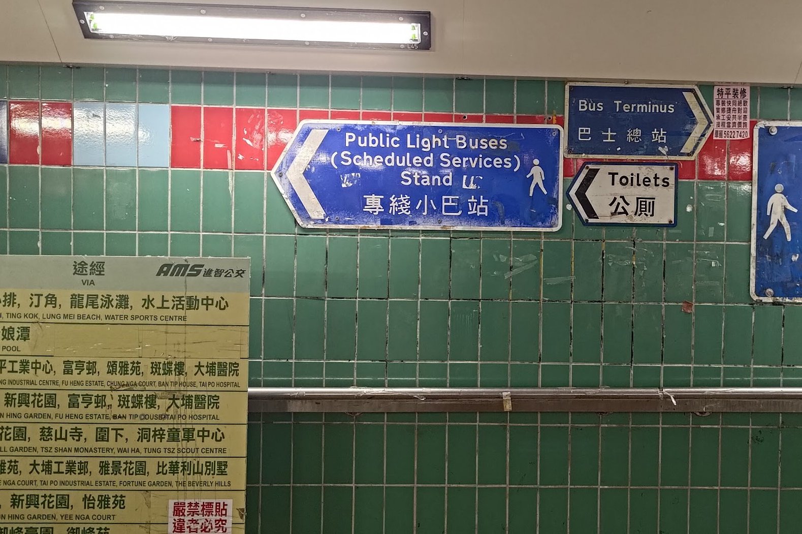
- Take the MTR to Tai Po Market Station and leave through Exit A3
- Turn left following the blue "Public Light Buses" sign
- The 20R green minibus will be immediately to your left at the minibus station. The stop is in the very first row of minibuses at the stop.
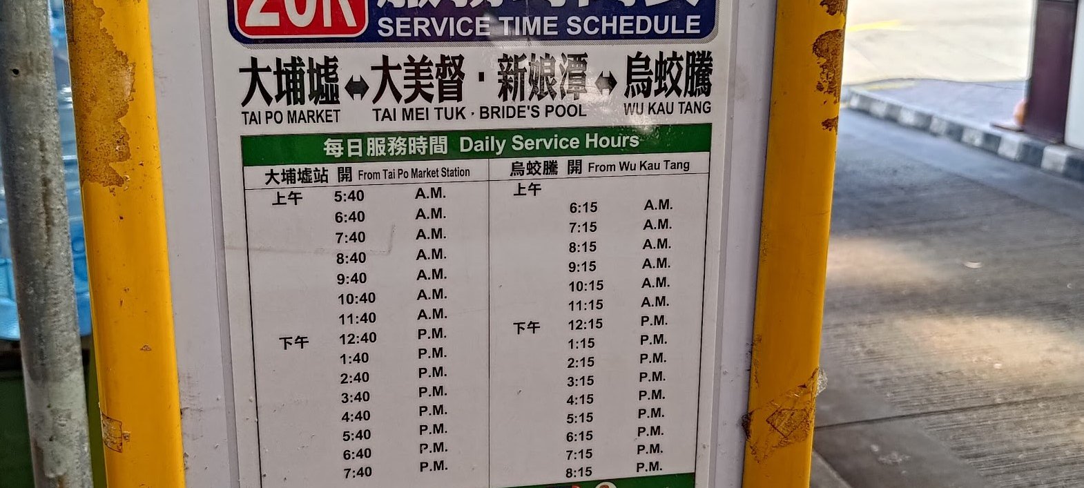
- Make sure to get the minibus at either 5:40am or 6:40am at the latest
The 20R minibus runs only once per hour, every 40th minute of the hour (06:40, 07:40 etc). Get off at the second-last stop (at the intersection of Chi Sum and Wu Kau Tang Road).
If you end up at the last stop, no worries. I'll start the hiking guide from there, anyway.
Quick Devil's Fist Hike Route Summary
- Follow the 'Wu Kau Tang Tsuen' sign behind the Wu Kau Tang Bus Terminus shelter
- Follow the 'Sam A Tsuen' sign and cut through the bottom of Wu Kau Tang Village
- Turn right at the 'Kau Tam Tso' sign and follow the trail for 10 mins
- At the fork in the road follow the 'Sam A Tsuen' sign up the sloping path
- 5-10 mins later, follow the path straight and avoid the stairs (near the red emergency post)
- 20 mins later, after crossing a little stream, you will arrive at a set of signs. Take the one pointing upward to 'Tai Tung'
- The climb to the top takes half an hour at a fast pace with no breaks
- At the top, you will see a sign pointing to 'Luk Wu Tung', follow it and continue past the next 'Luk Wu Tung' sign, too
- Follow the trail for about 40-45 minutes down some stairs and then back up before arriving at a pair of signs. One points to Tai Mei Tuk and one points back to Wu Kau Tang
- If you follow the Tai Mei Tuk sign, you will skip Devil’s Fist and begin circling Plover Cove Reservoir to Tai Mei Tuk
- If you want to do the Devil’s Fist portion, follow the unmarked trail behind the Tai Mei Tuk sign
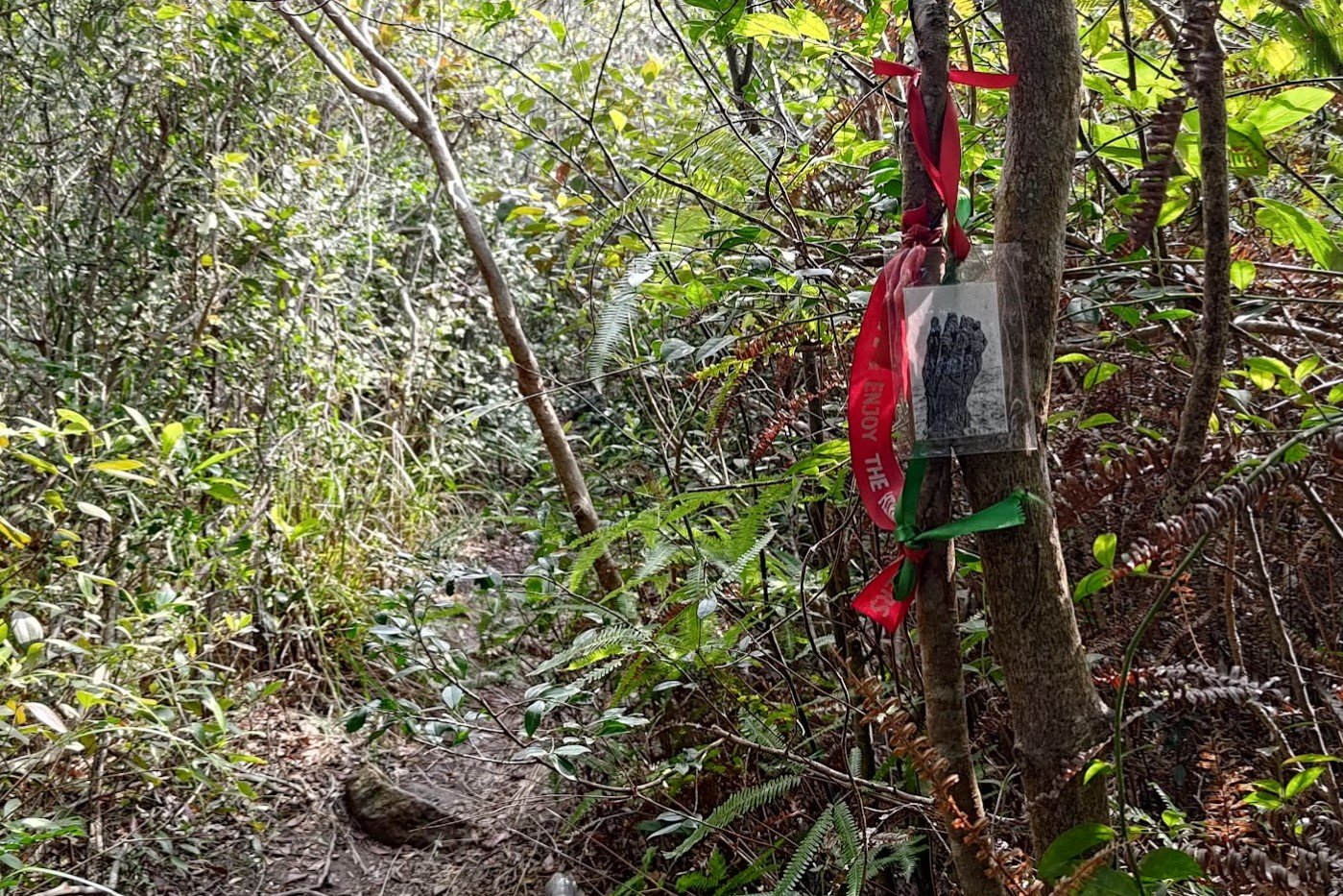
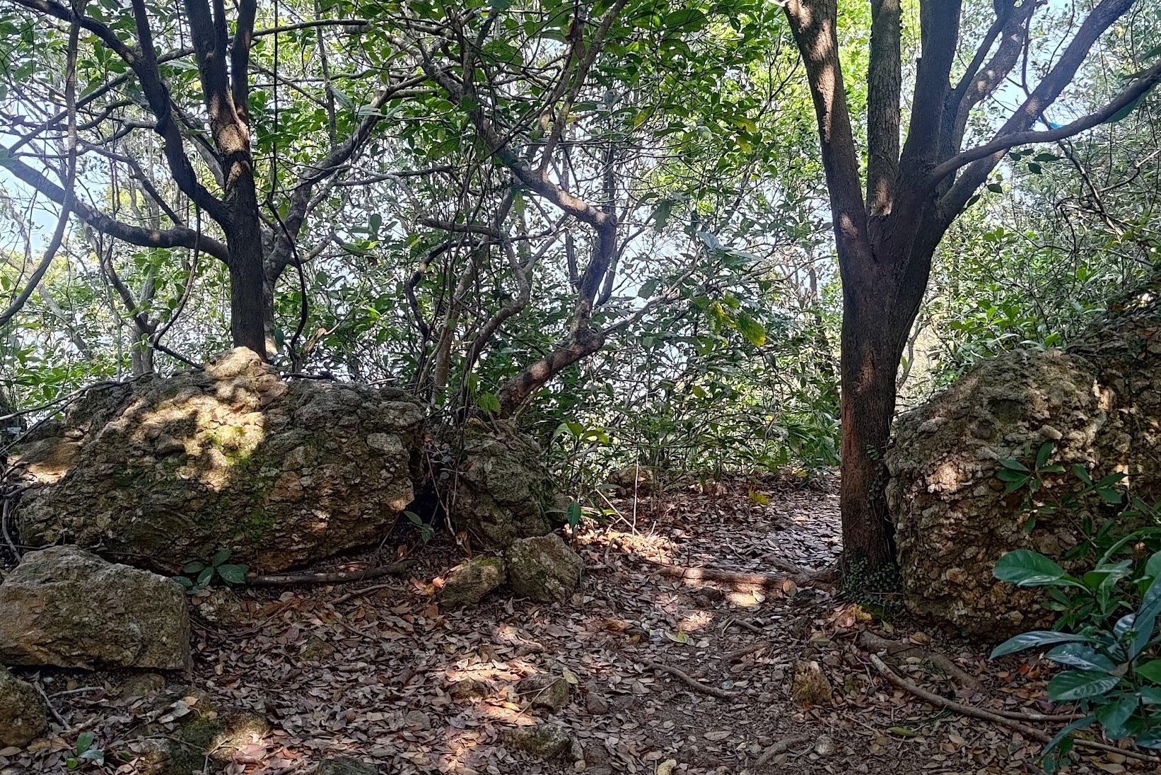
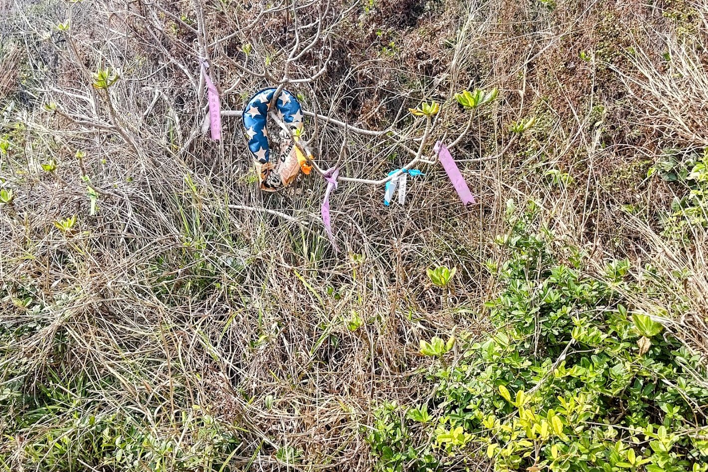
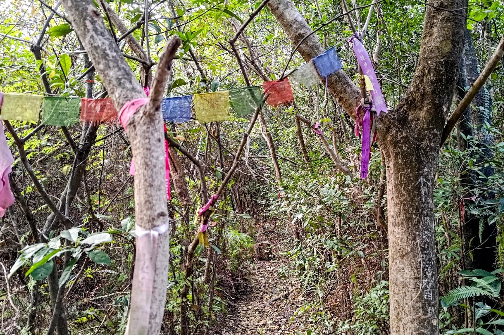
- Follow the ribbons along the trail and descend past some large boulders (be careful here). You will reach an intersection with two routes.
- The right path (with prayer flags) gives you another chance to go to Tai Mei Tuk. The left path (with ribbons and a small photo of the Devil’s Fist) will take you toward Devil’s Fist.
- Spend the next 2 hours undulating up and down over rough terrain and keeping track of ribbons to lead you
- You will eventually reach a VERY steep downhill section with some ropes for support. Descend to the coast
- Head left along the rocks until you come across a deep red wall along the coast. The Devil’s Fist is here
- Retrace your steps back to the prayer flags of step 13. When returning from Devil’s Fist, the path is marked by bright ribbons, so look out for them before ascending back up to the trail
- Take the path (under the prayer flags) toward Tai Mei Tuk. You will have to navigate some overgrown and treacherous sections of trail for about 30 minutes before connecting back with the main trail
- Follow the trail toward Plover Cove Dam. The trail is well-marked and flat initially. You will begin to undulate after a while though. It takes about 2 hours to Plover Cove Reservoir Sub Dam
- Cross the sub dam and then follow the concrete road to the main dam and cross it
- At the far end of the dam, head left down the slope and follow Tai Mei Tuk Road until you see the bus stop and taxi stand on your left.
Directions From 20R Last Stop


After getting off at the last stop, walk back down Chi Sum Road in the direction the minibus just came from.
Ignore the first Chi Sum Road sign you see on your left and keep going straight. When you see a second Chi Sum Road sign that's much dirtier, turn left.
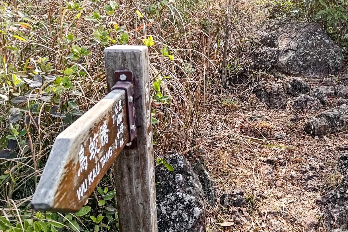
This is actually Wu Kau Tang Road (you'll see the road sign a few meters later). At the end of Wu Kau Tang Road, you'll see the start point, which is marked by a 'Double Haven Country Trail' sign.
Start Point: Wu Kau Tang Village


Follow the 'Wu Kau Tang Tsuen' sign in front of the 'Double Haven Country Trail' marker and descend the green-railing slope.
Follow the brown 'Sam A Tsuen' sign and take the bridge that goes across the little stream.
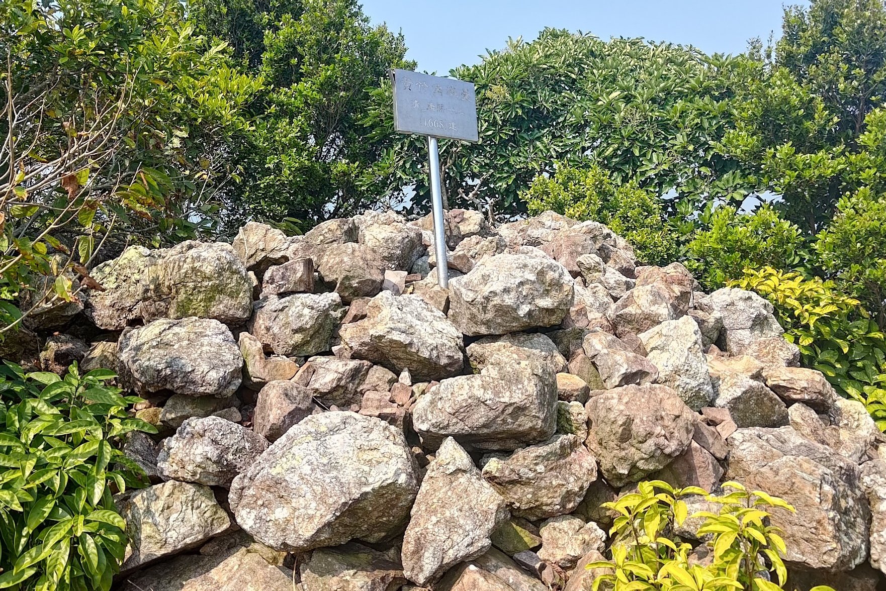
You'll emerge a few minutes later at Wu Kau Tang Village, which was founded around the 1660s.
You'll see the main village to your left as you take the right fork around an impressive lone, walled house.
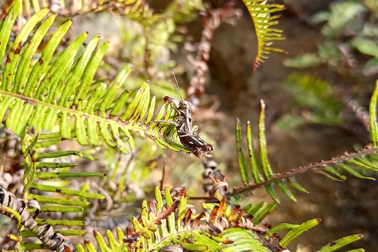
Wu Kau Tang is known for its butterflies (apparently, there are 137 species of butterflies that can be observed here), so take your time to admire the beauty of your surroundings.
Kau Tam Tso Sign and Fork


After going past the walled house, you'll see a sign pointing you towards 'Kau Tam Tso'. Follow the sign and walk past a beautiful stream with a plethora of intriguing fish in it (including koi). You'll then traverse through a large chunk of green grassland with maple trees in it and even some abandoned village homes.
At the fork in the road about 10 minutes later, heed the sign pointing to 'Sam A Tsuen' and take the path that slopes upward.
2 Weird Bridges and another Fork to the Right


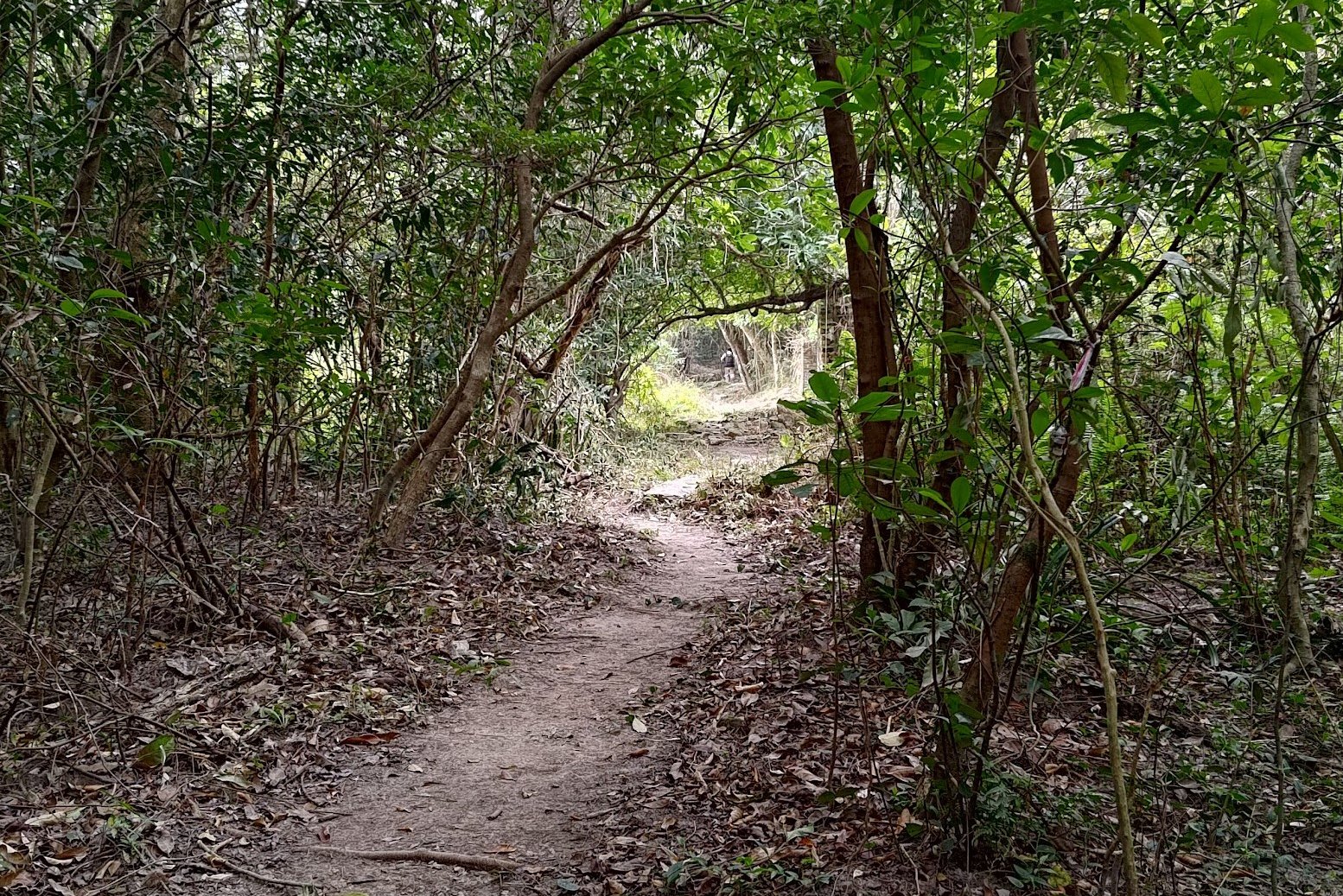
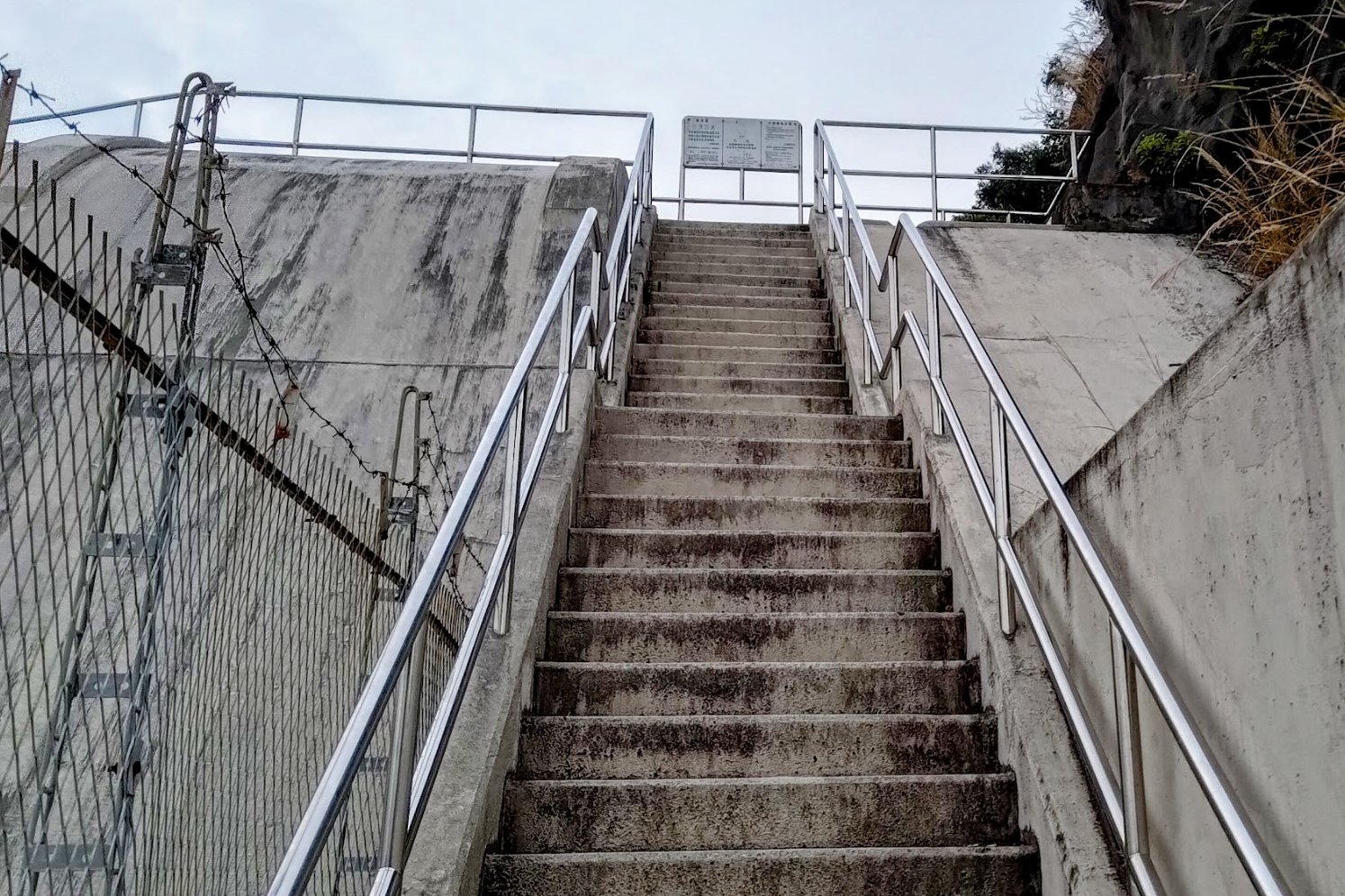
Keep following the trail for 10 minutes, going past a couple of strange bridges - one really small and almost inconsequential and the other super large and overdone.
You'll emerge from the trees soon after and see a set of stairs heading upward to the left and a flat path on the right. Take the flat path and avoid the stairs heading upward.
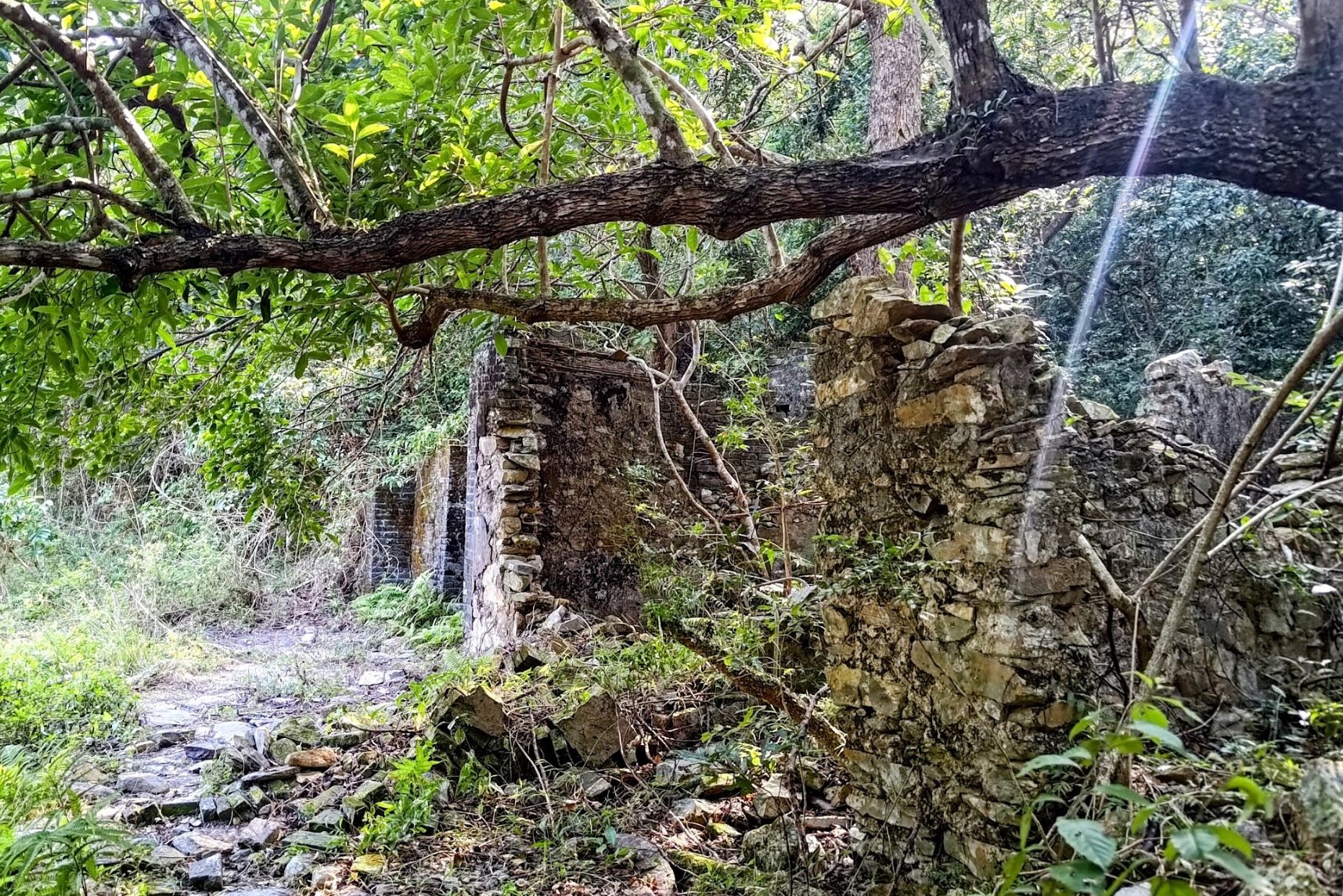
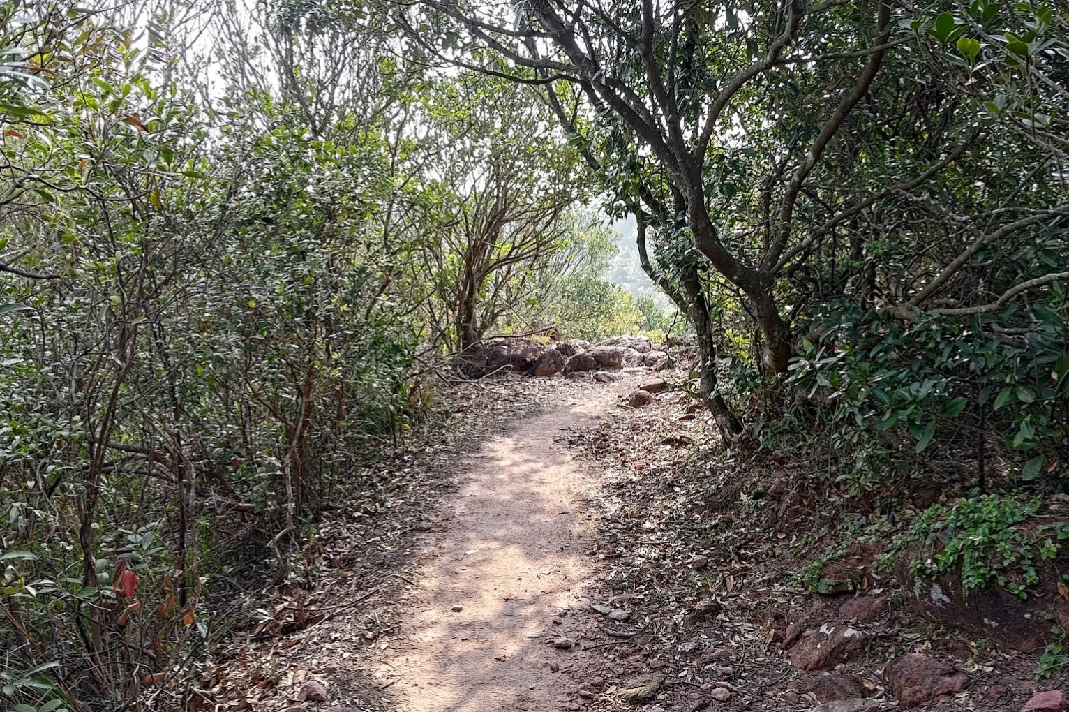
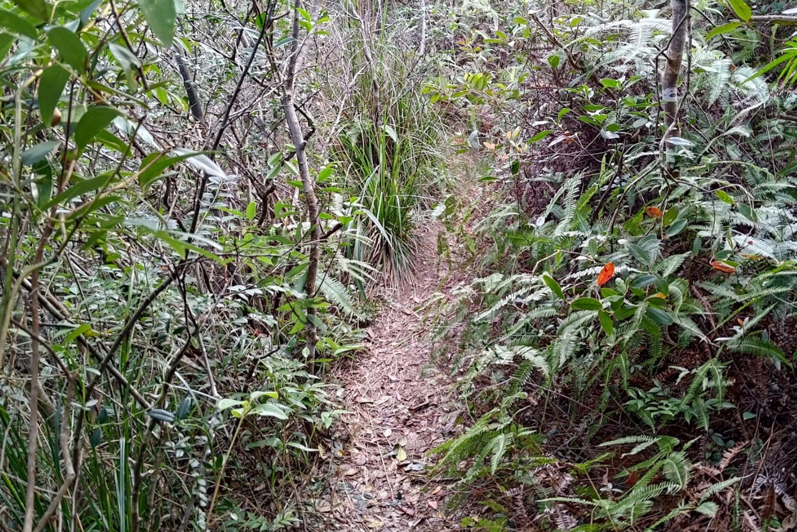
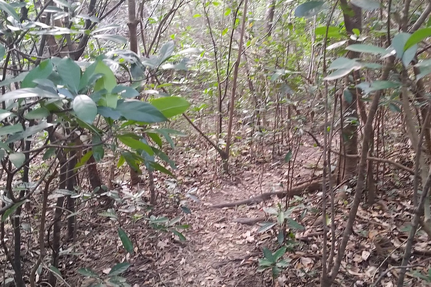
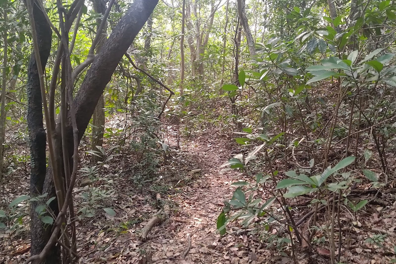
Sheung and Ha Miu Tin Abandoned Villages


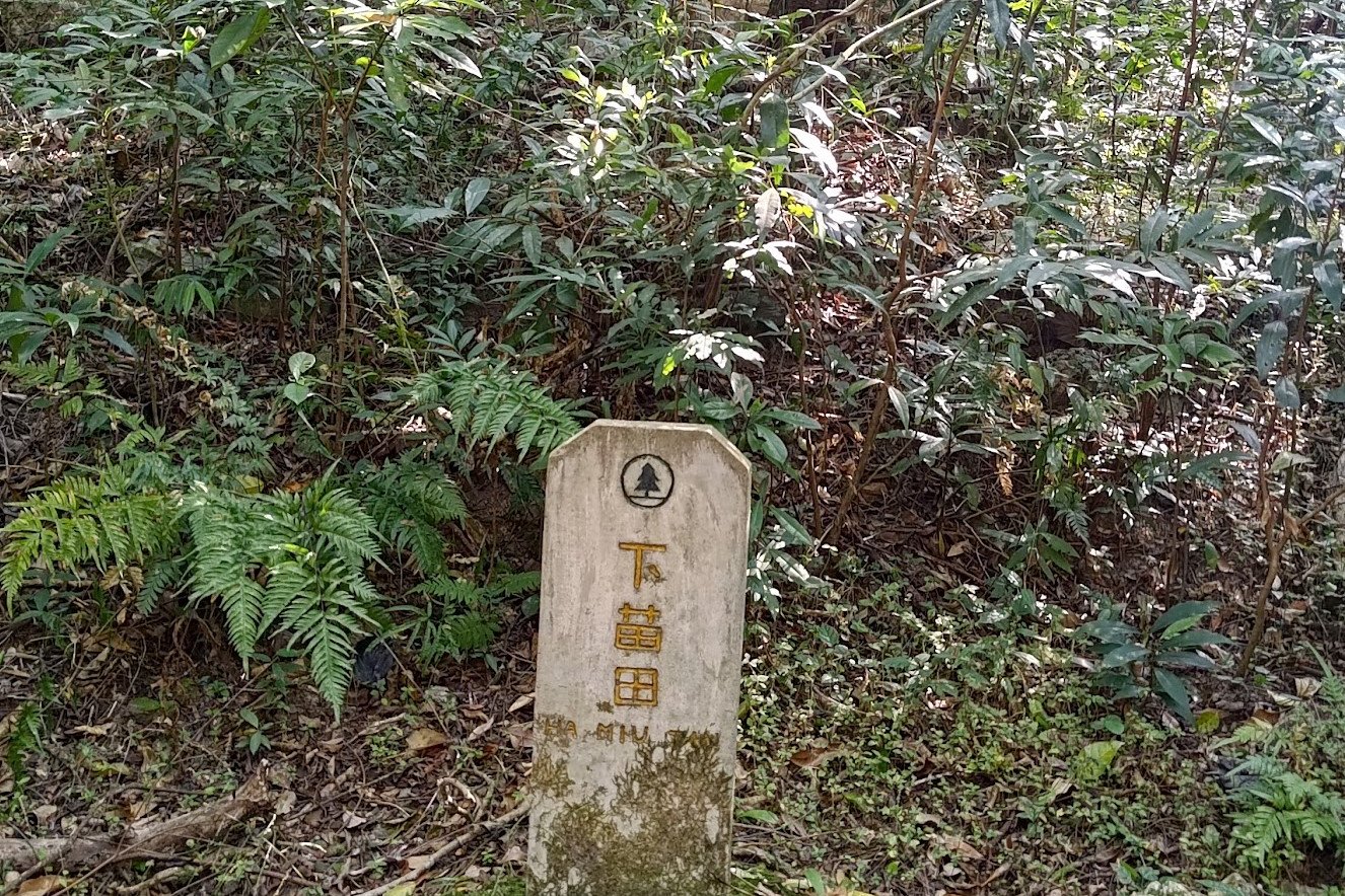
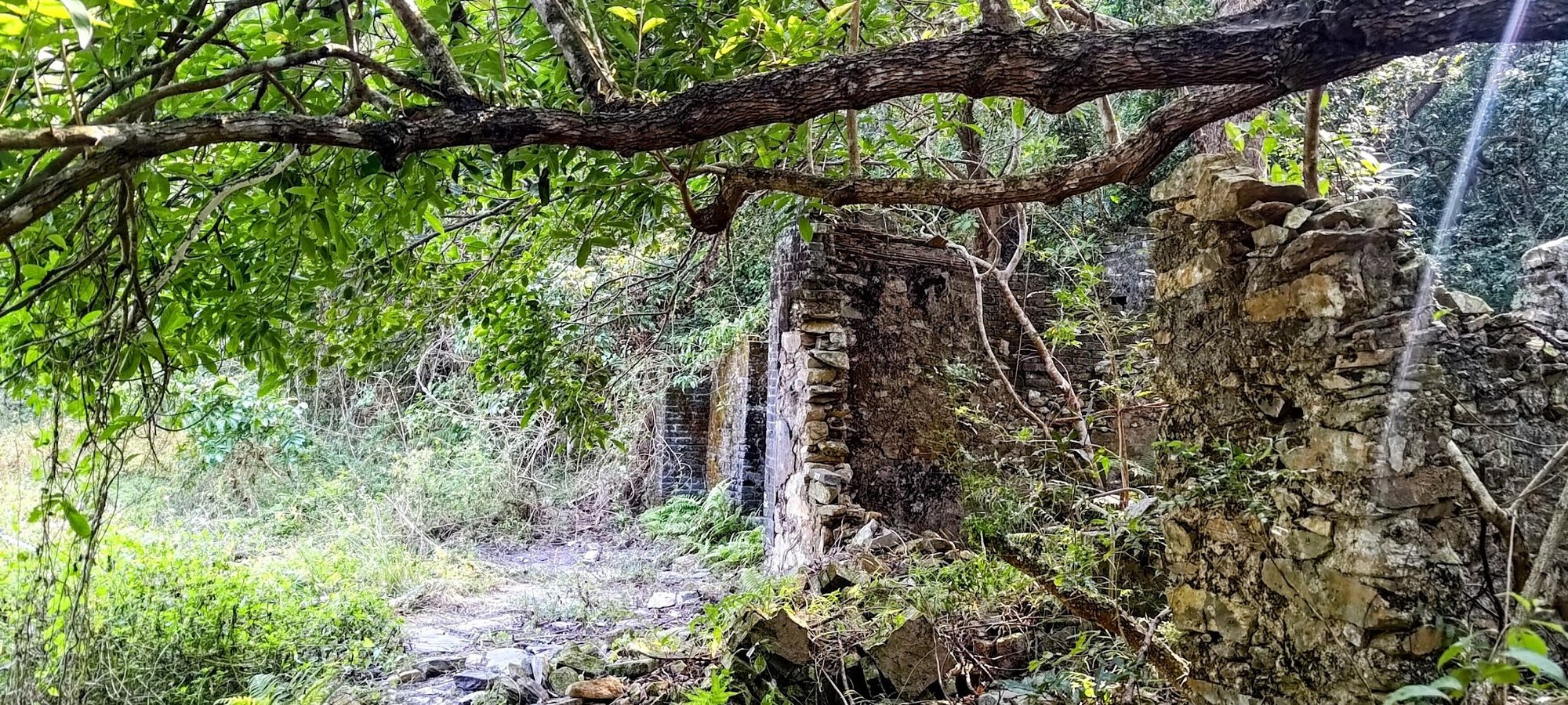

The next 25 minutes has you walking through a wonderful forested section of the trail that takes you past the remnants of Sheung (upper) and Ha (lower) Miu Tin Village, which was once home to the Tsang and Mo Hakka family clans.
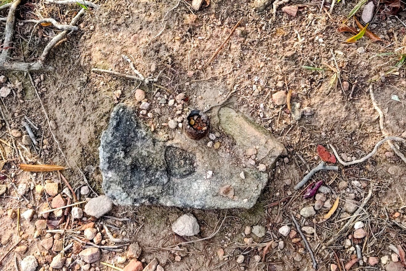
A little stone marker, almost like a small gravestone, marks the site where Sheung Miu Tin Village used to stand. It's now almost completely reclaimed by nature, sadly.
You'll go past a small stream crossing after, and then come across another marker for Ha Miu Tin. A path beside the marker lets you explore the crumbling ruins of the village freely!
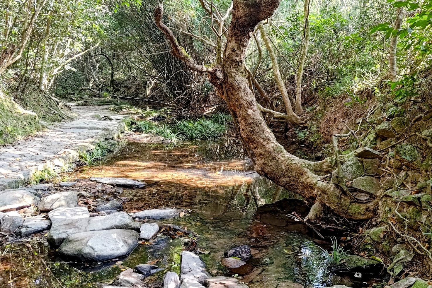
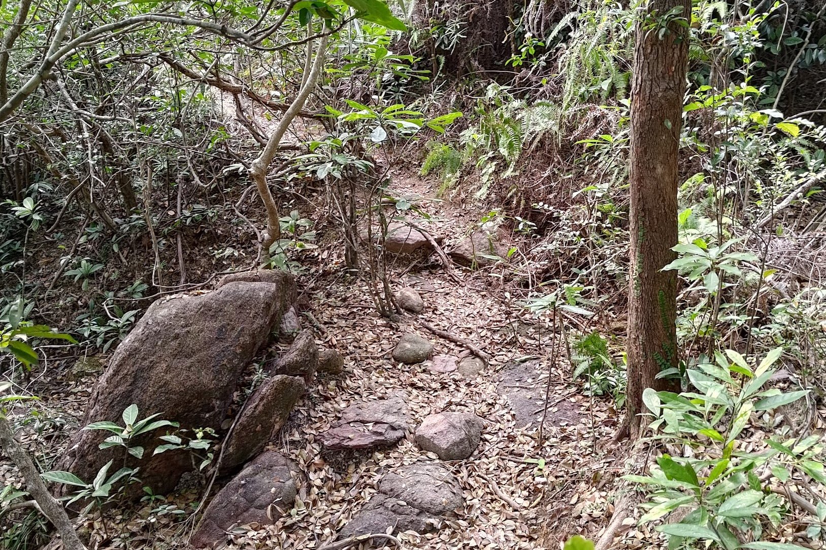
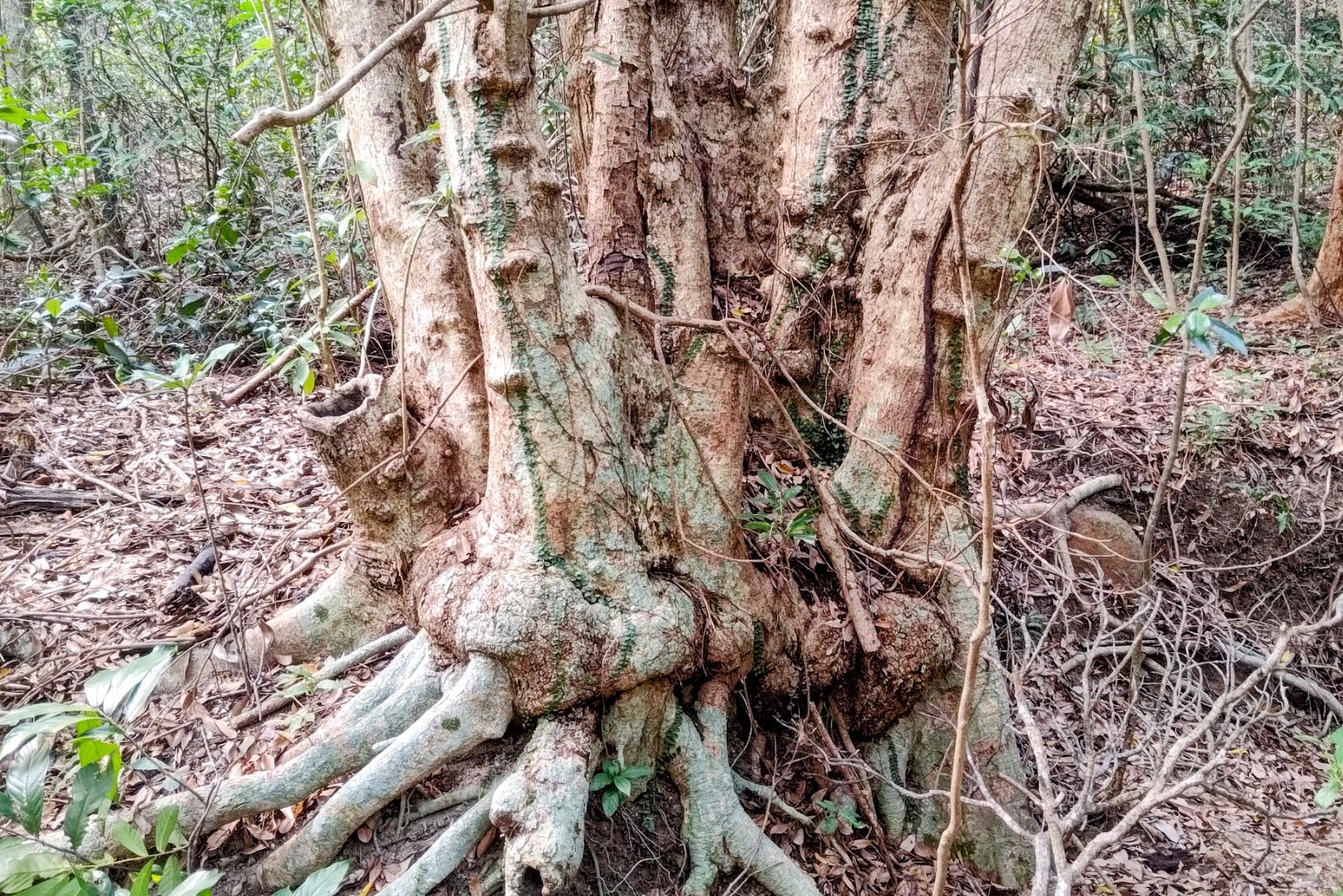
Head past Ha Miu Tin and you'll eventually cross a stream via some stepping stones with an incredible tree growing out from it. Your final landmark for this section is a set of signs.
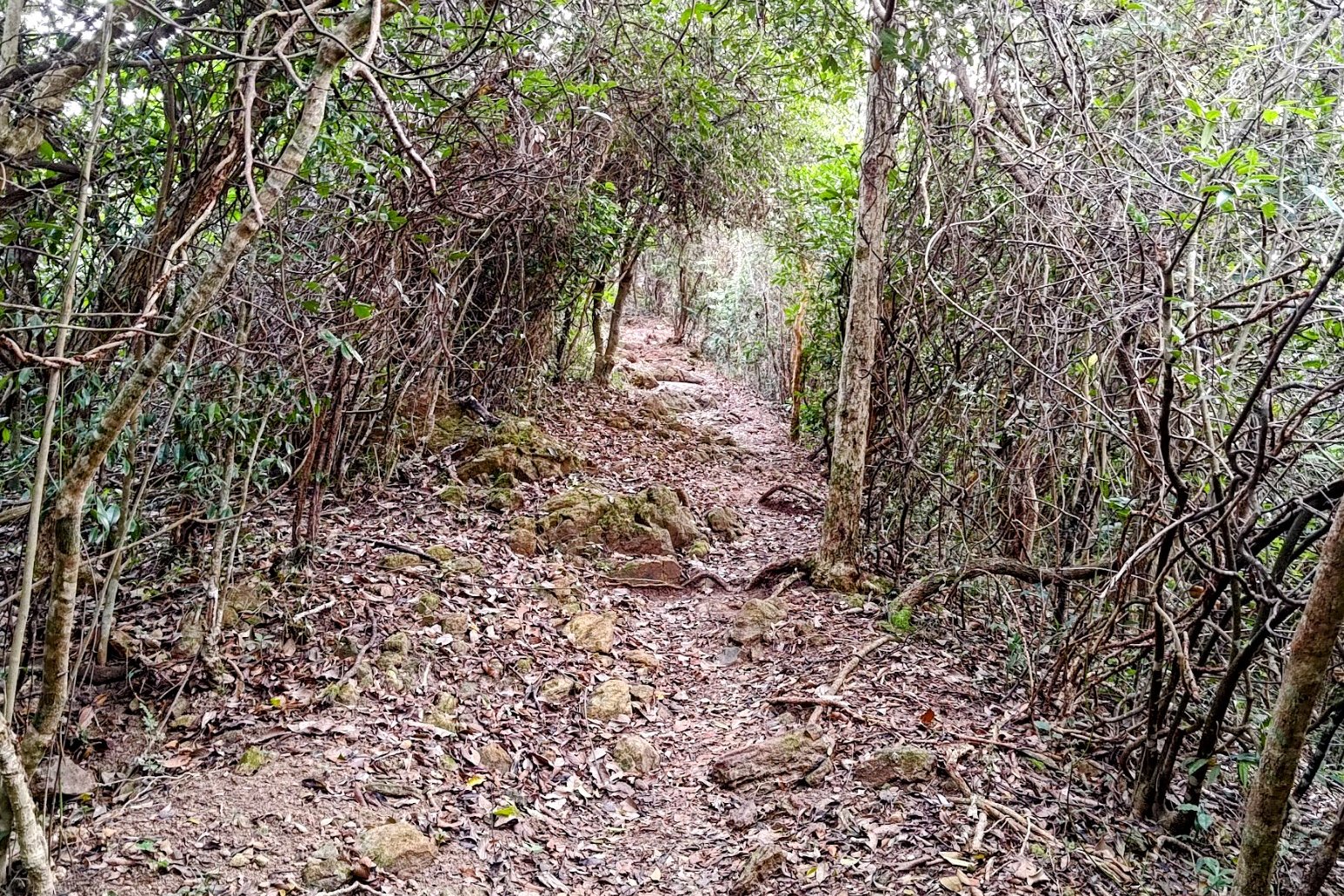
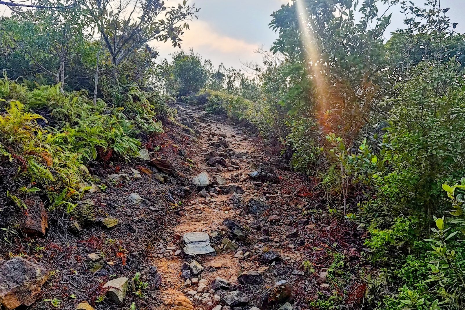
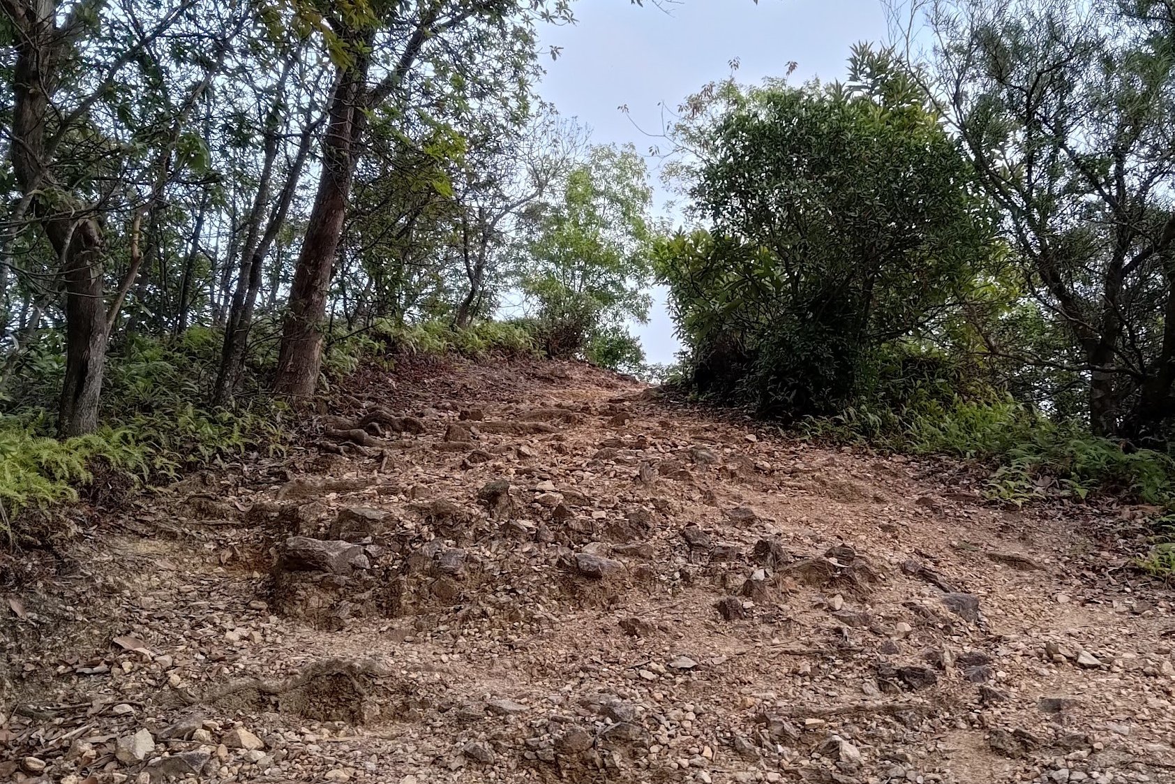
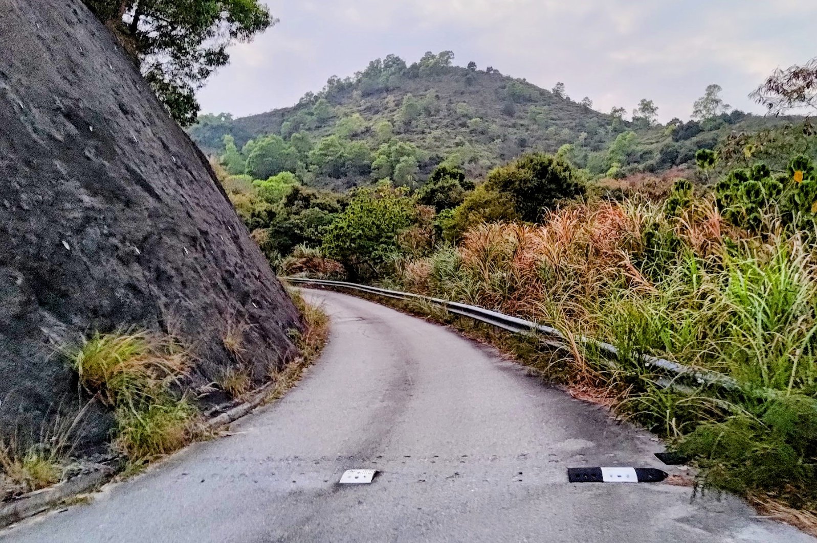
The 30-40 Min Climb Up Tai Tung


When you arrive at the set of signs after the stream crossing with the epic tree, you'll want to head right toward 'Tai Tung'. You'll see a rocky slope that marks the beginning of your 30-40-minute climb.
A short while later, you'll see another sign which you should also follow in the direction of 'Tai Tung'.
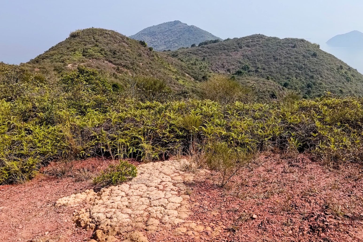
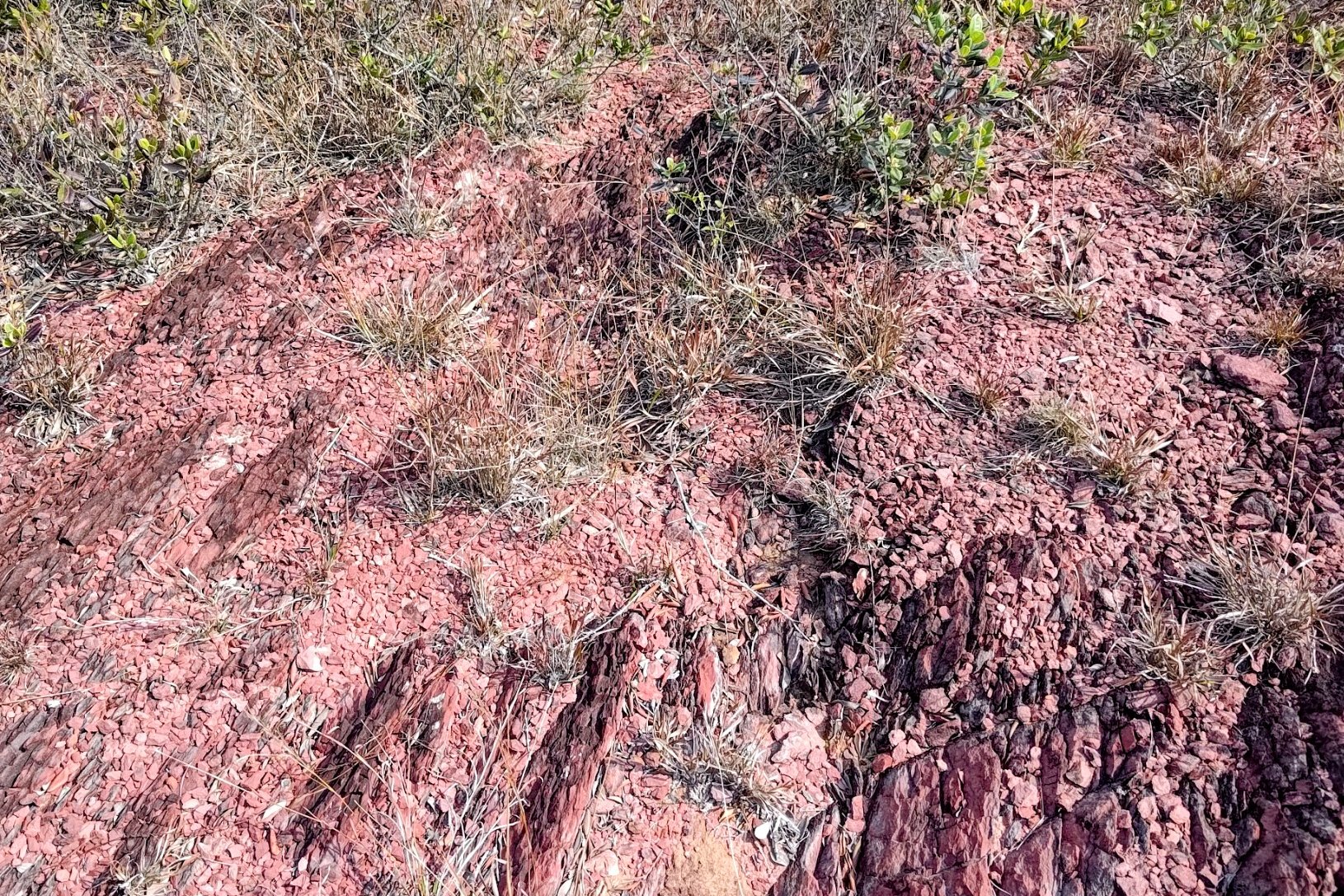
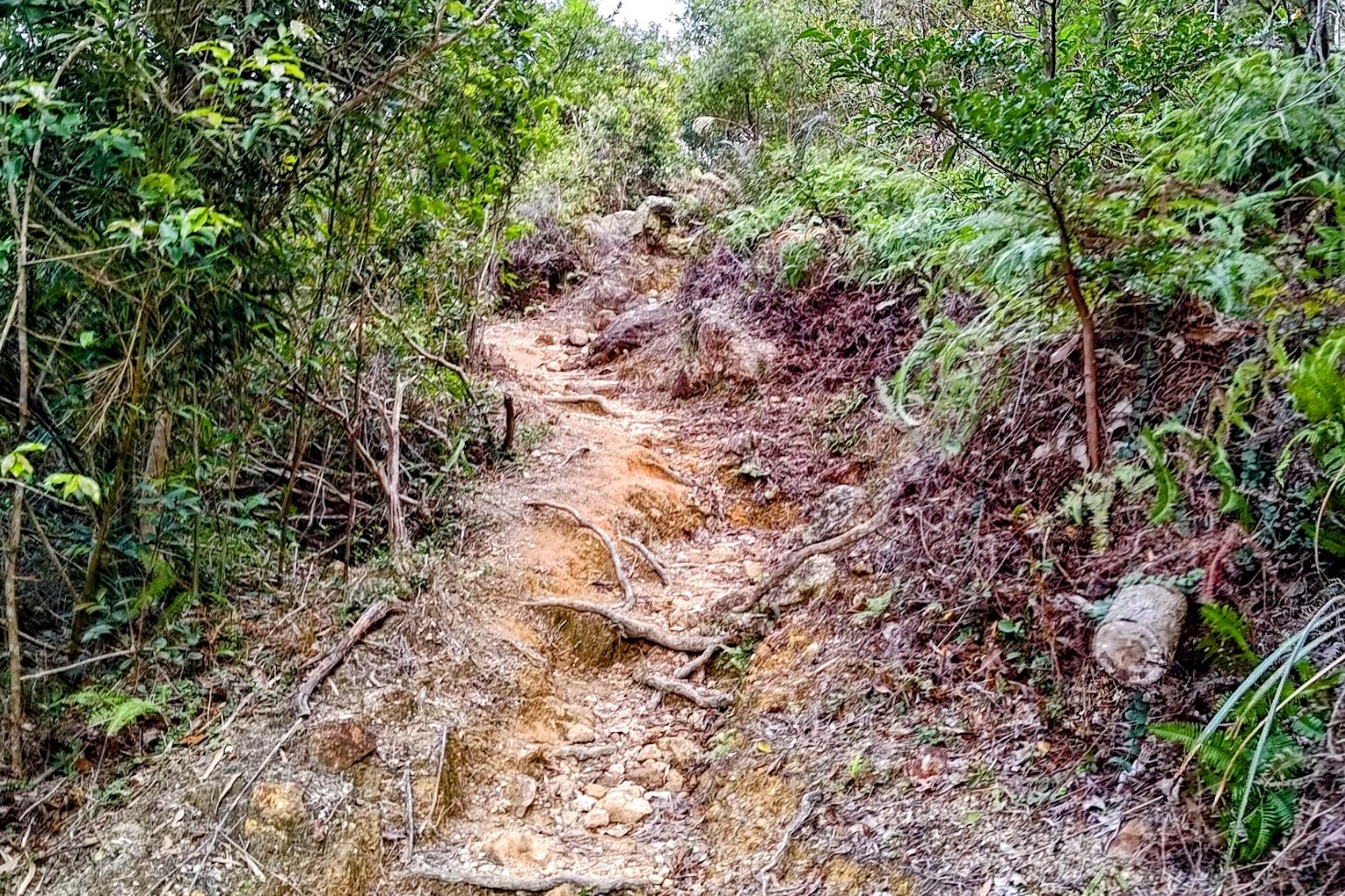
Much of this uphill section is covered in loose rocks, which you should navigate carefully to ensure you don't roll an ankle on the way up.
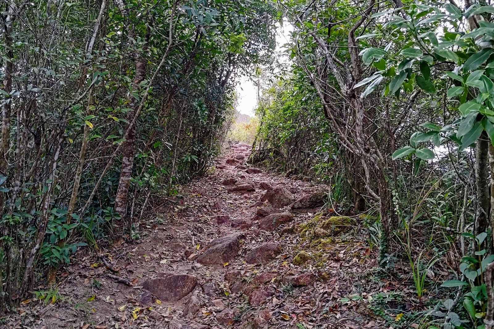
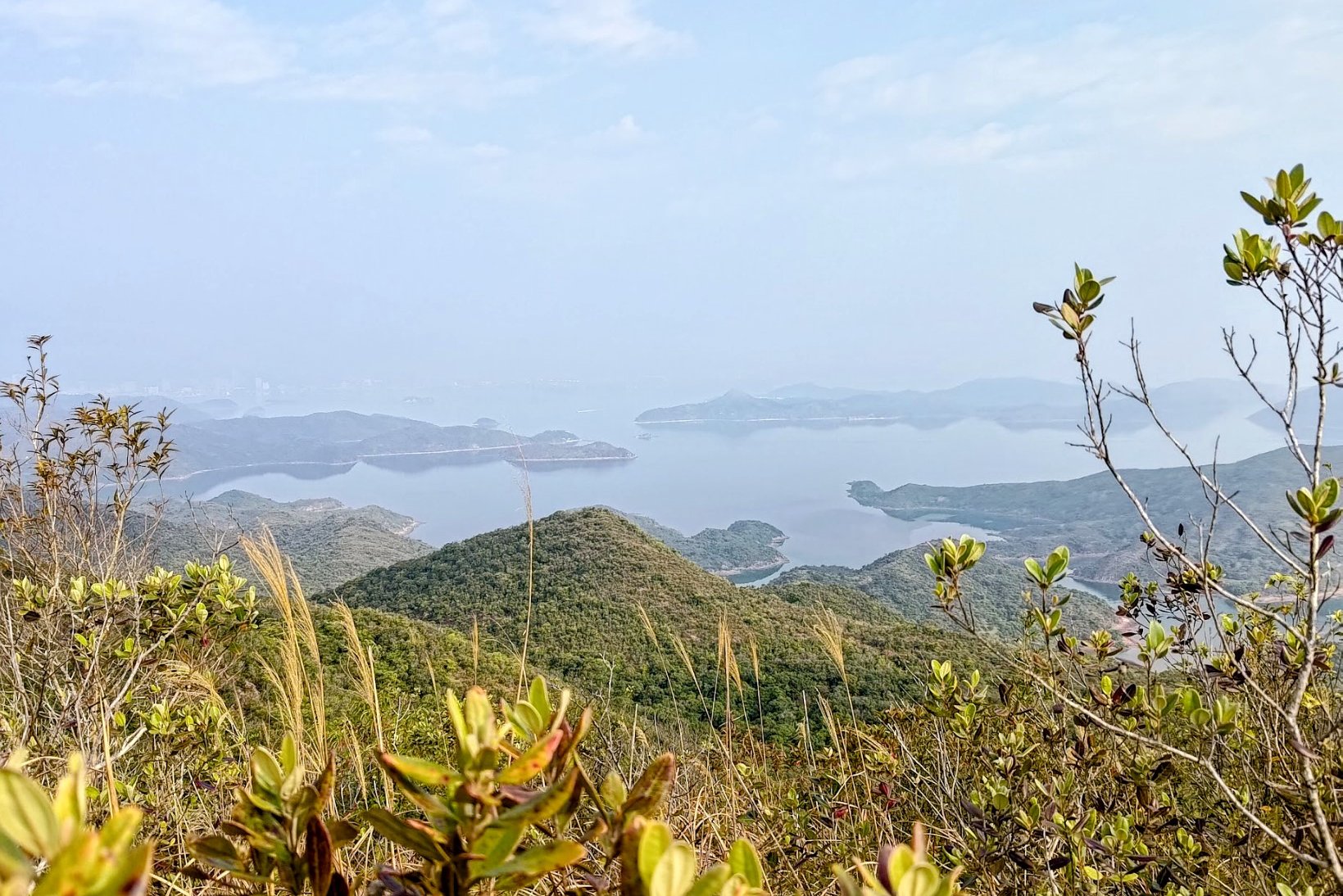
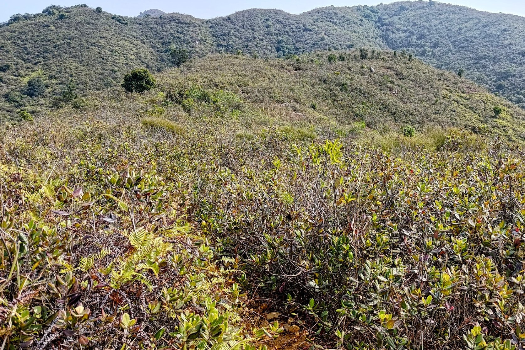
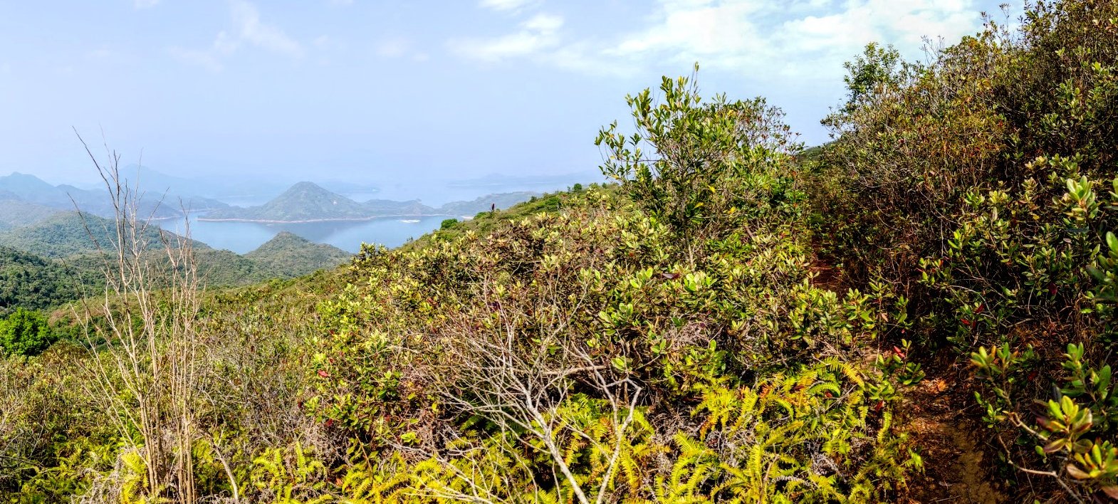
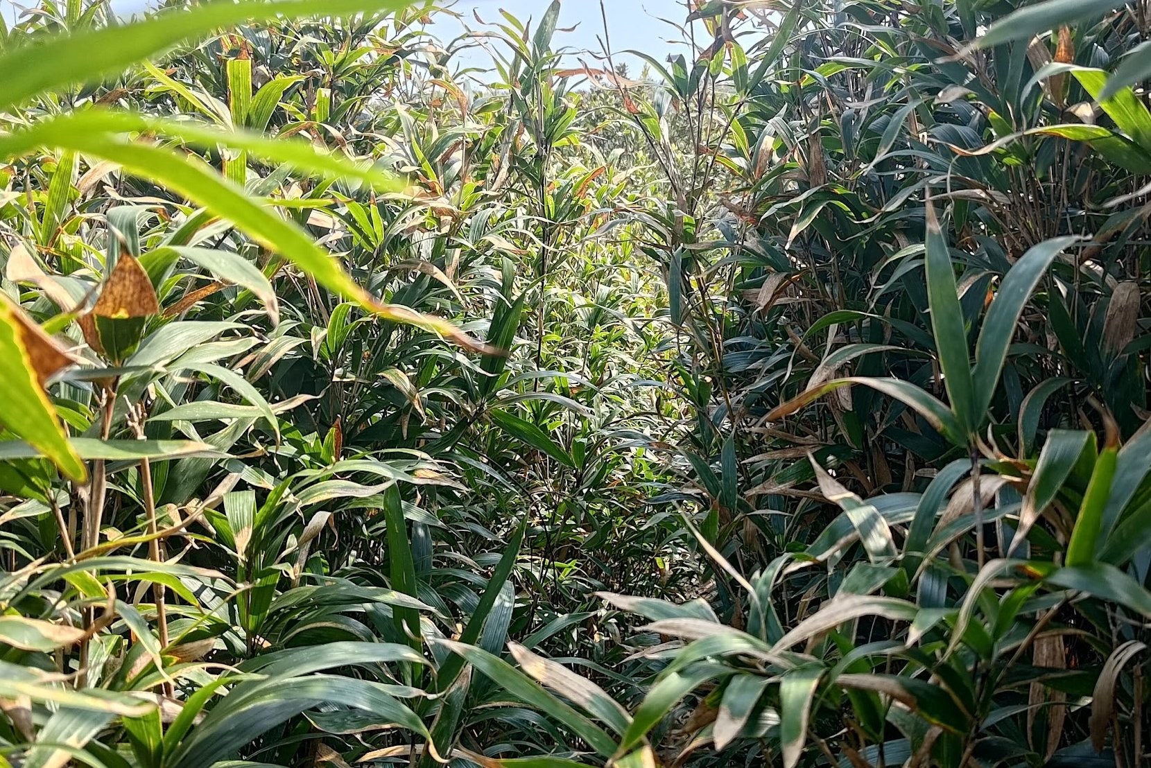
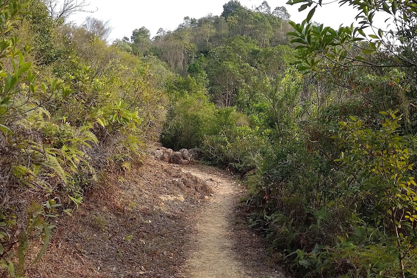
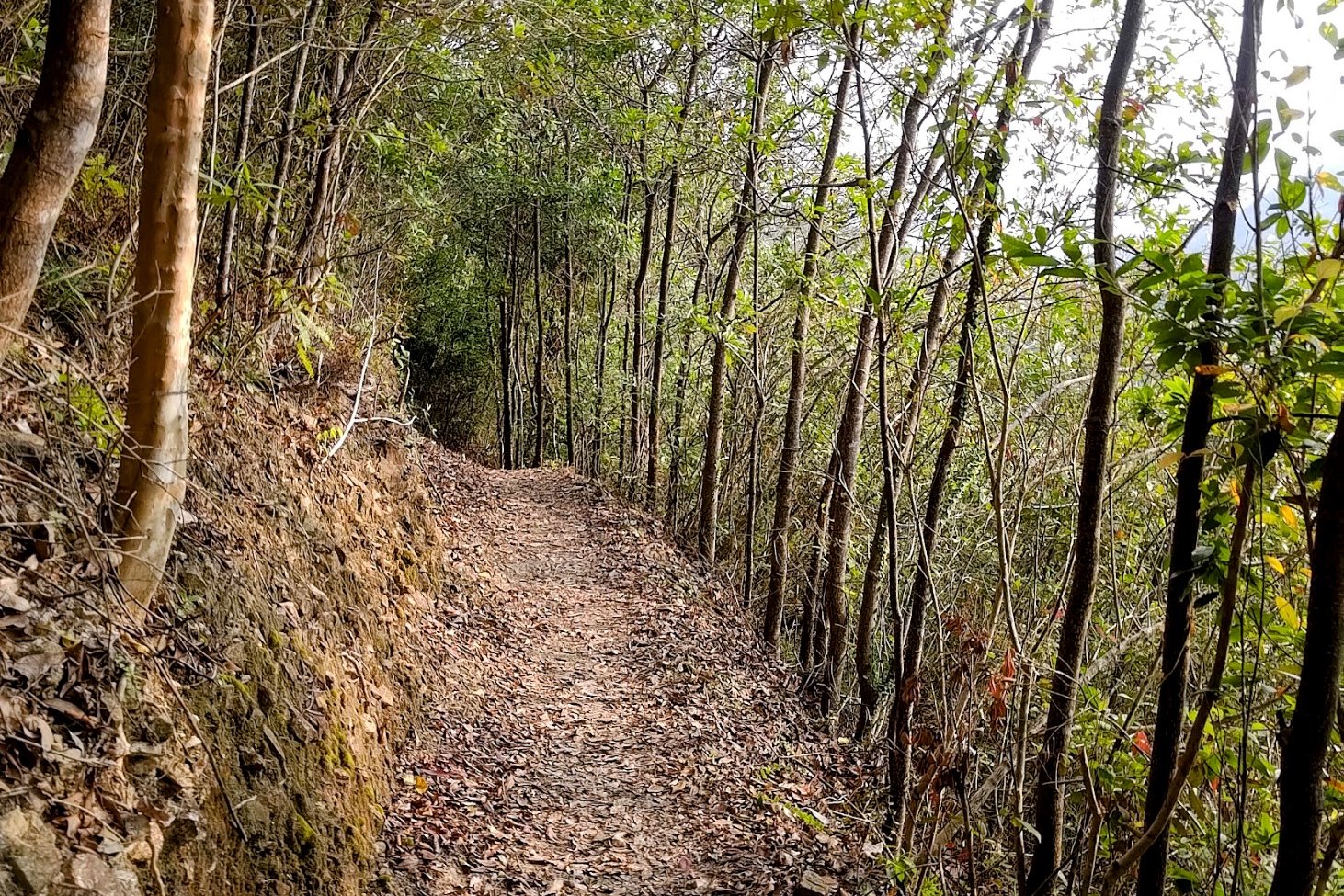
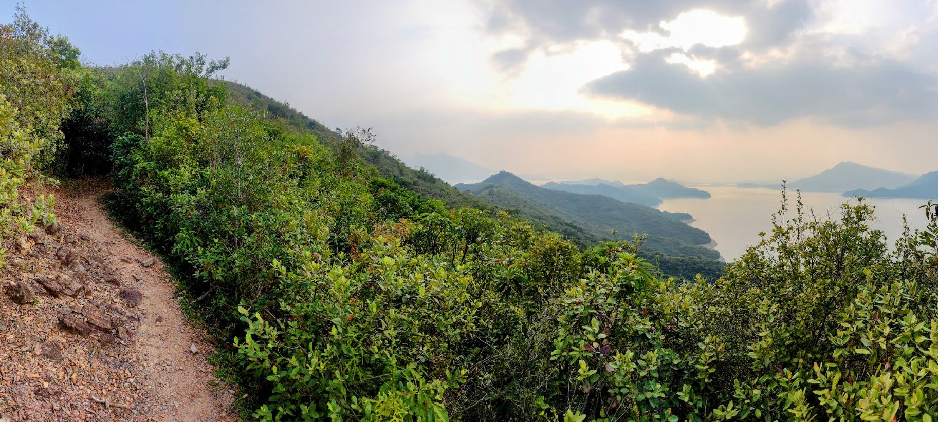
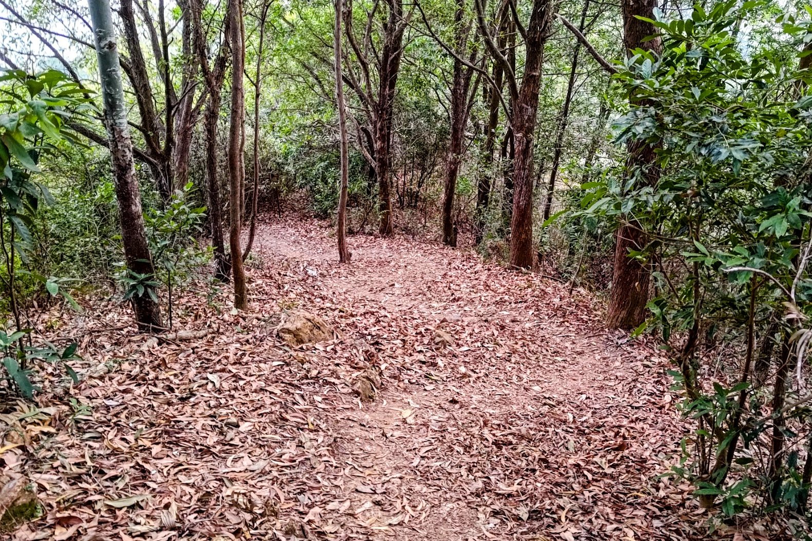
40 Minutes of Flat and Ocean Scenery


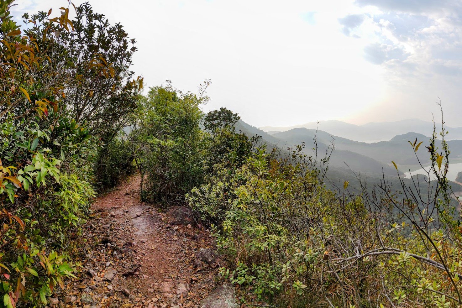

After a long climb, the trail flattens out and offers some respite. Follow the first wooden sign you see toward 'Luk Wu Tung' and just stay on the flat path.
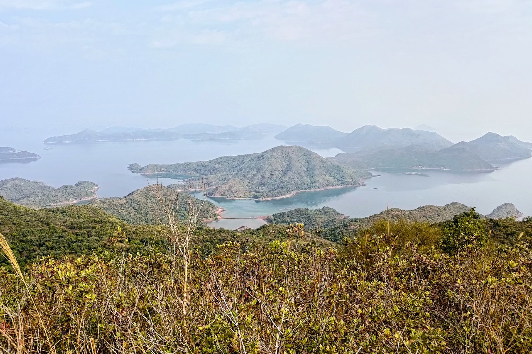
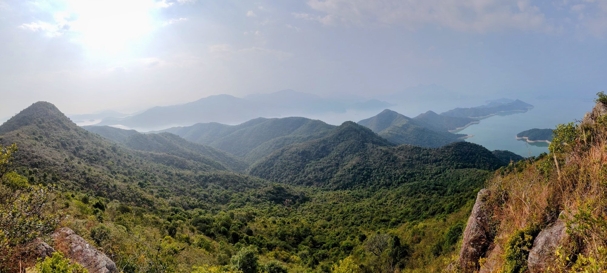
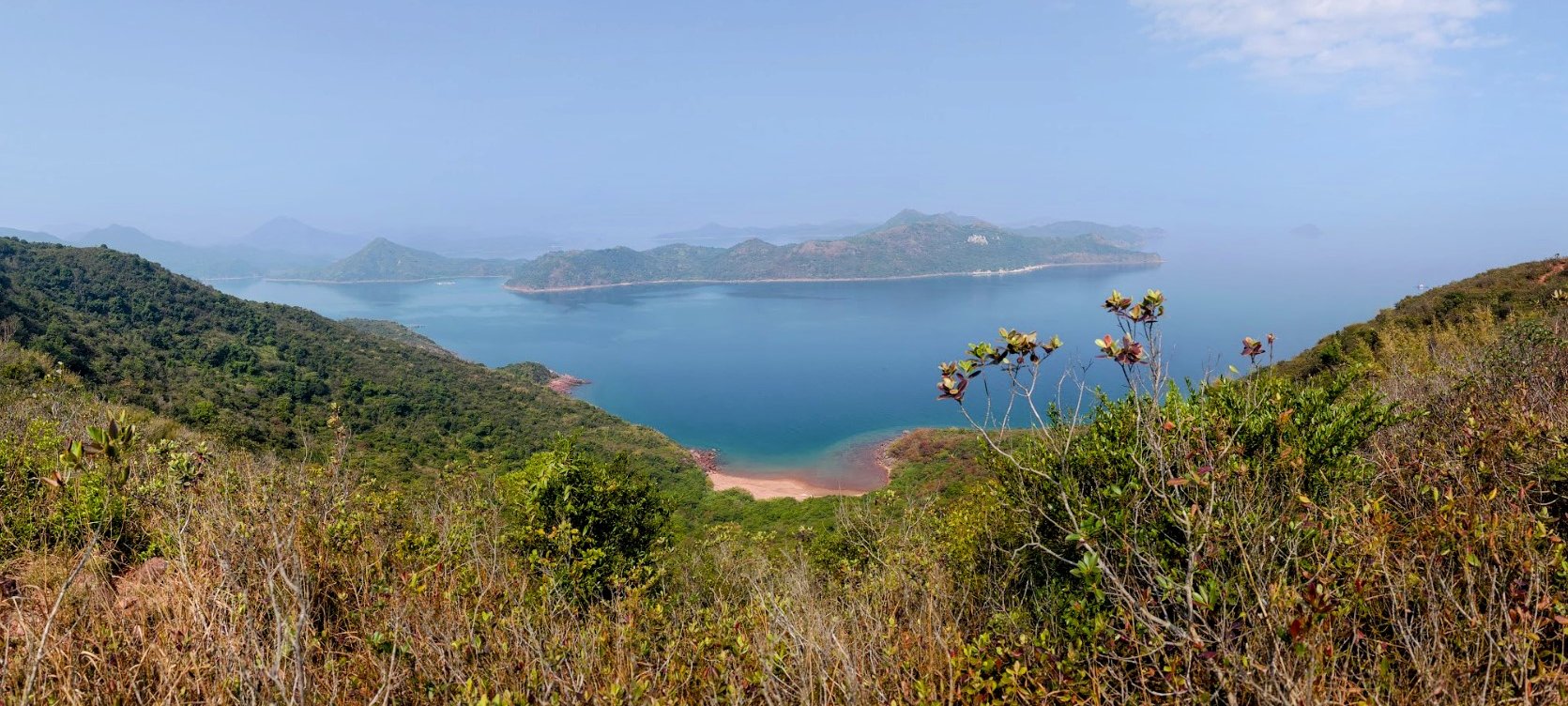
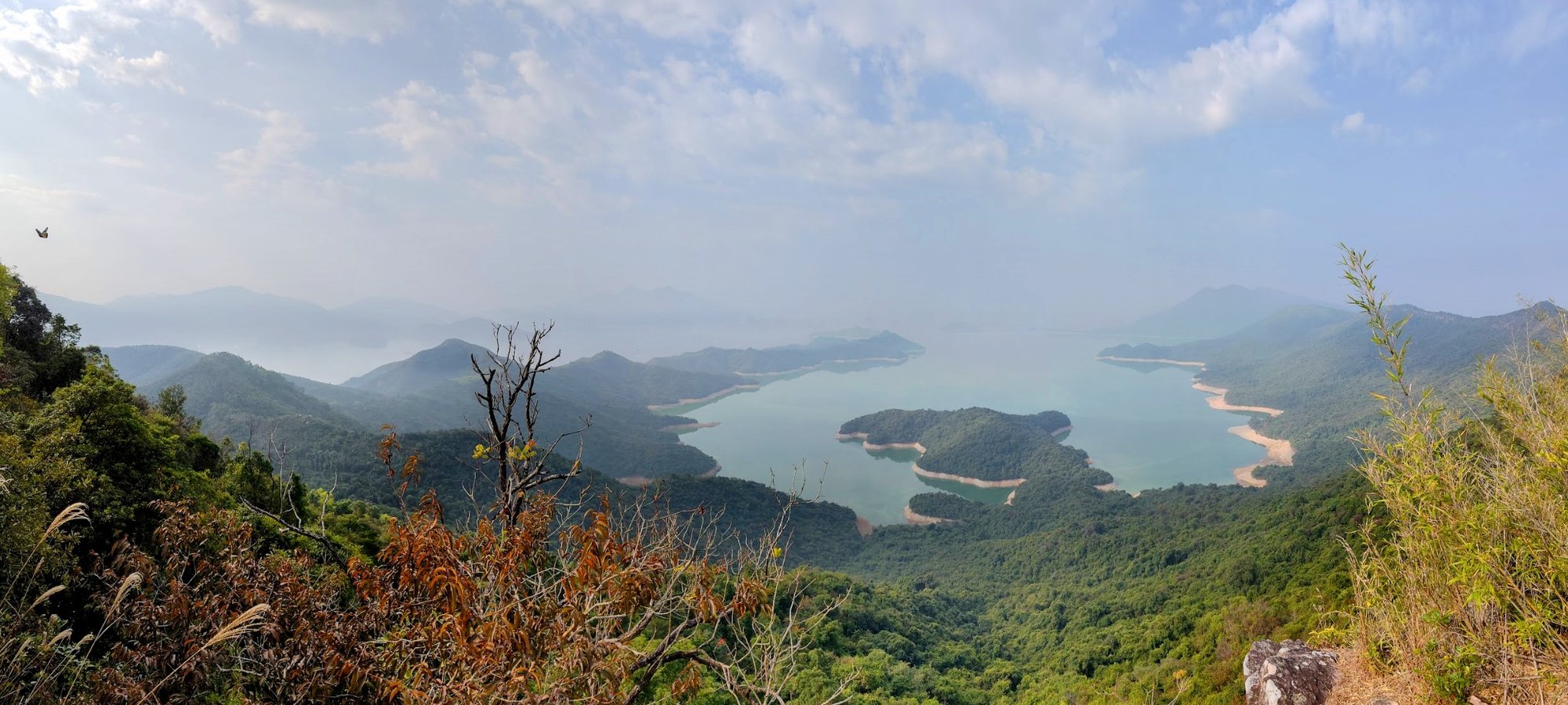
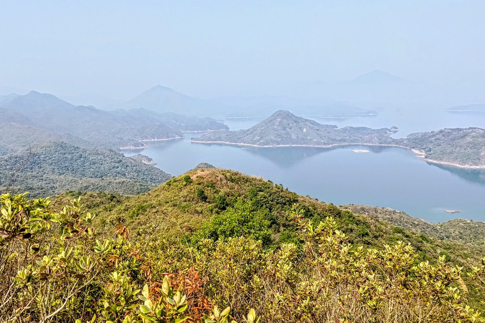
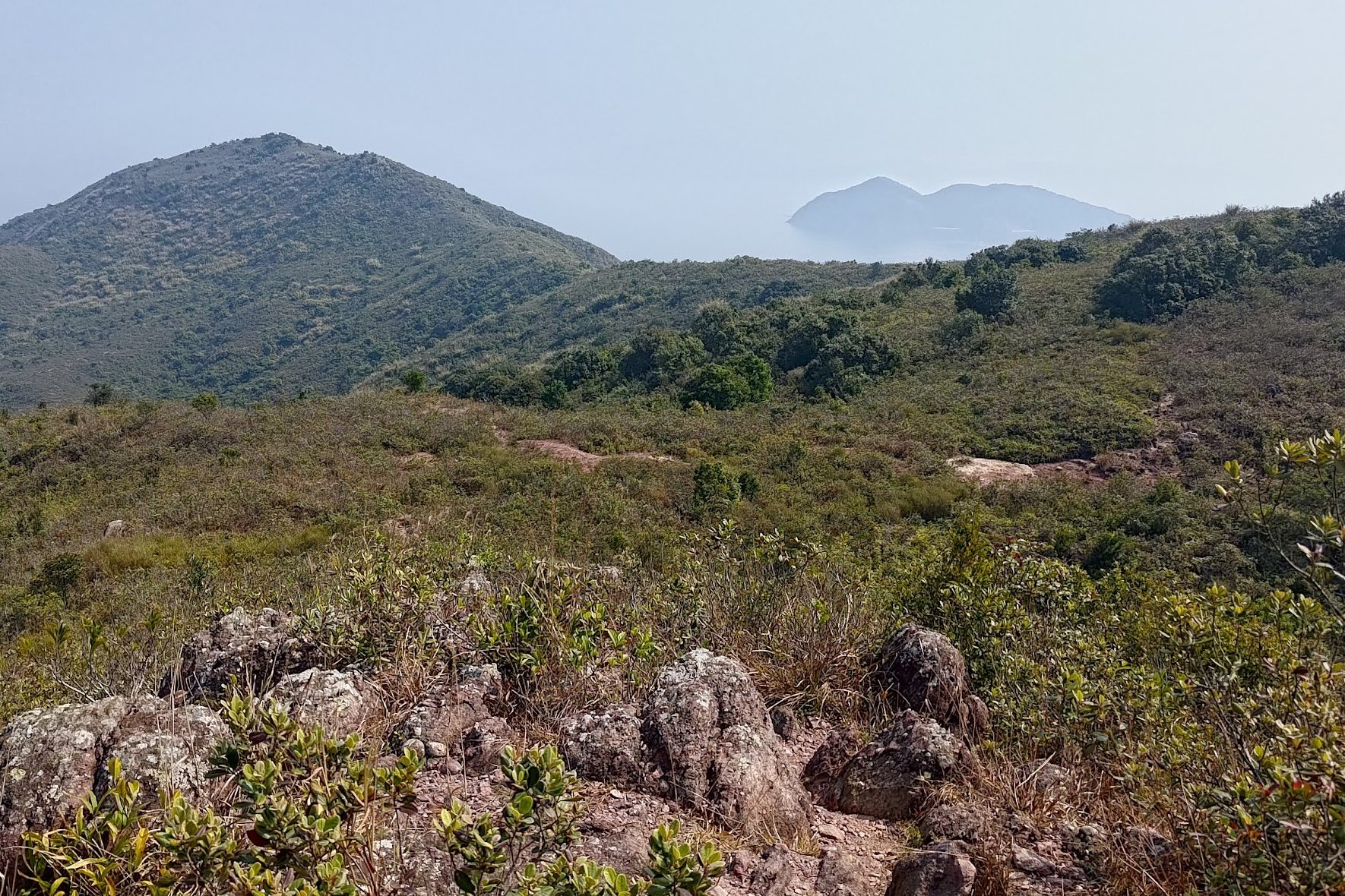
Much of this section is shaded and covered by trees, but on the occasions where you get open views, you'll be able to see Starling Inlet, Double Haven and Shenzhen to your left. On the right, you'll have uninterrupted vistas all the way out to Tai Mei Tuk Dam and even to Ma On Shan!
Once you encounter the second 'Luk Wu Tung' sign, you'll spot some ribbons on your left about 10 minutes later. This is where you can detour to Hung Shek Mun (Hong Kong's pink beach) if you're having second thoughts.
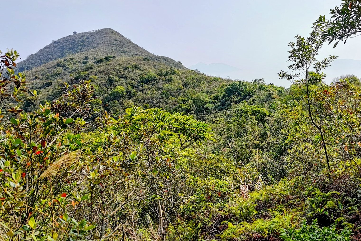
If you're set on the Devil's Fist, keep heading forward toward the large mountain in the distance.

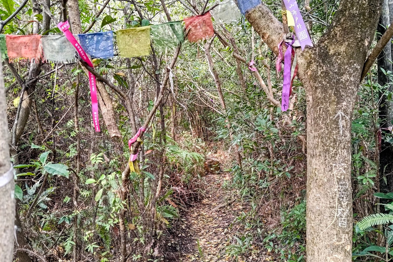
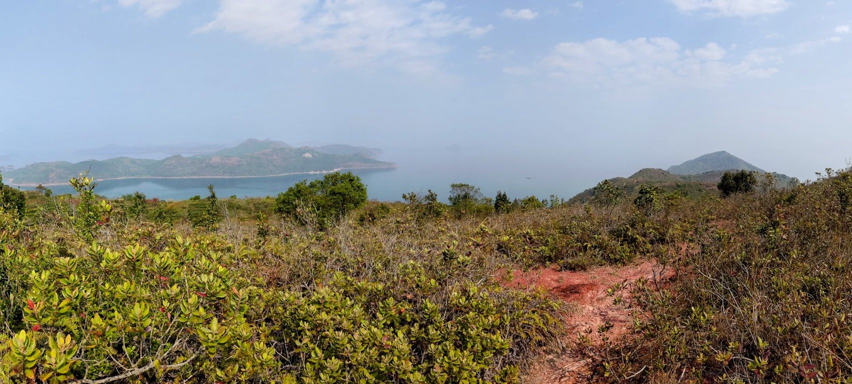
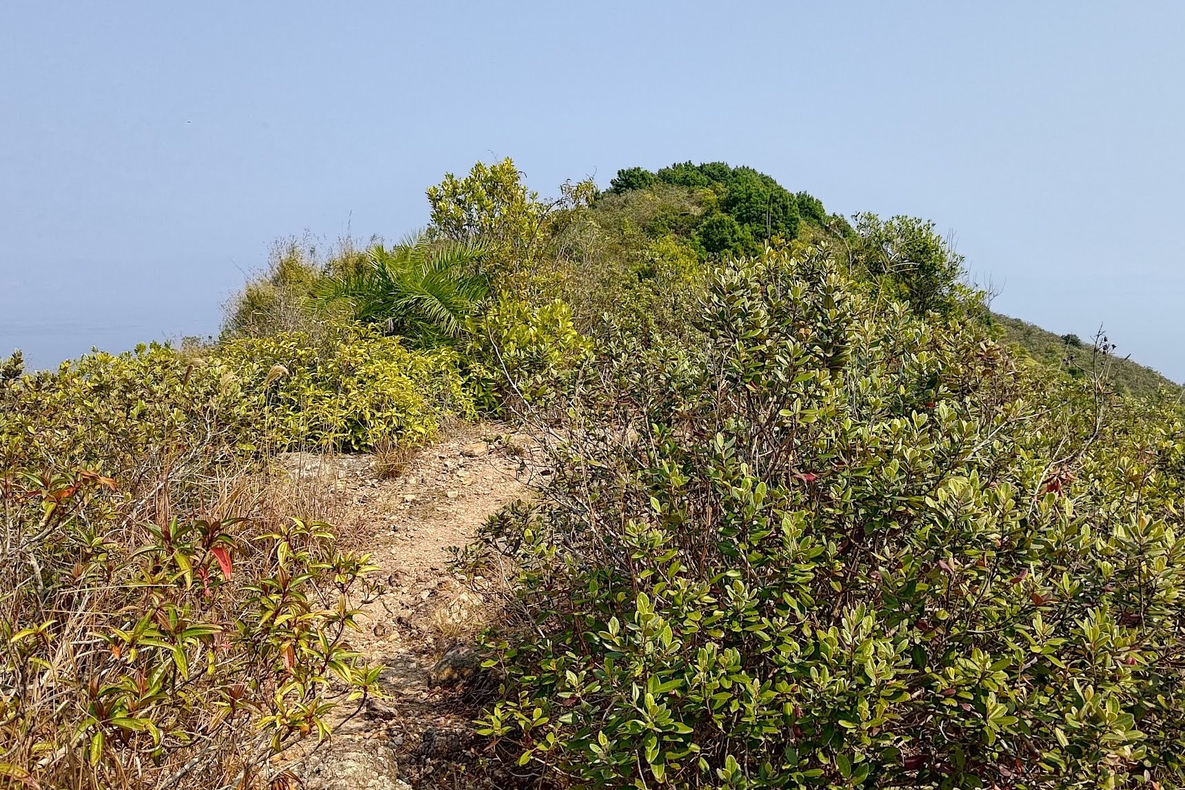
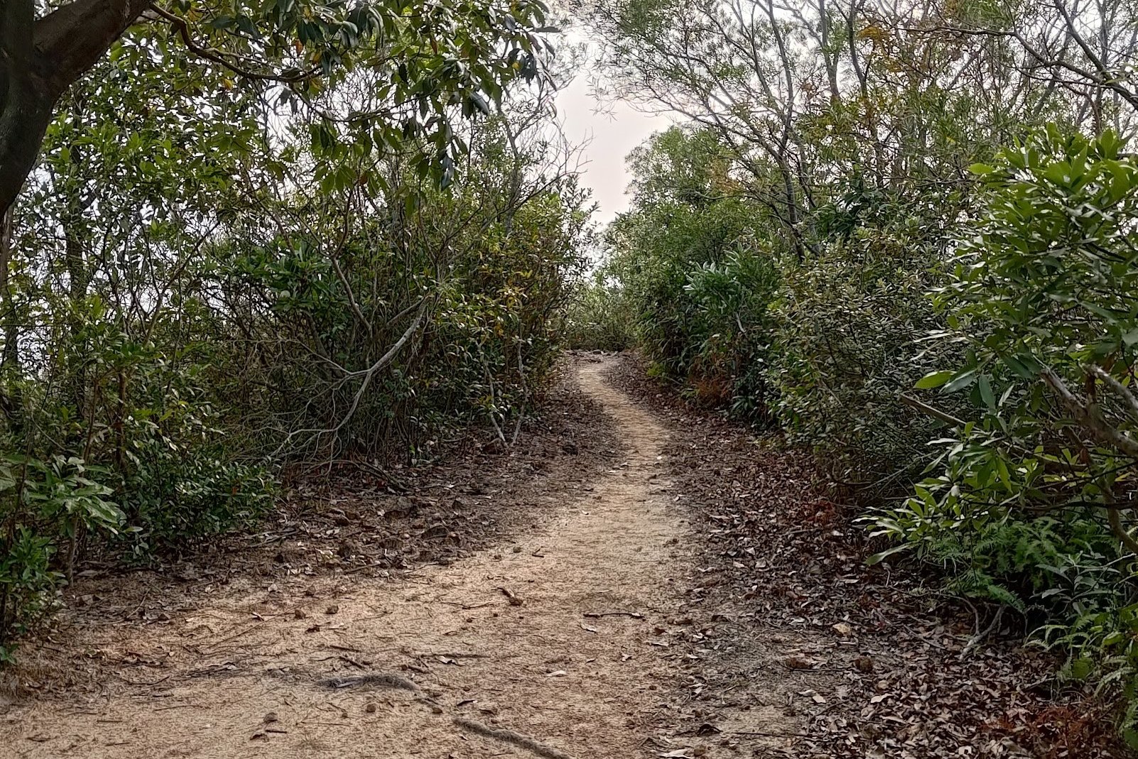
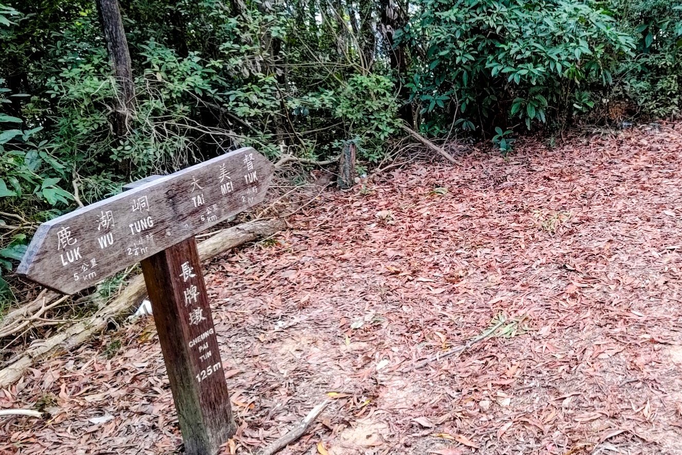
Luk Wu Tung: The Plover Cove and Devil's Fist Intersection
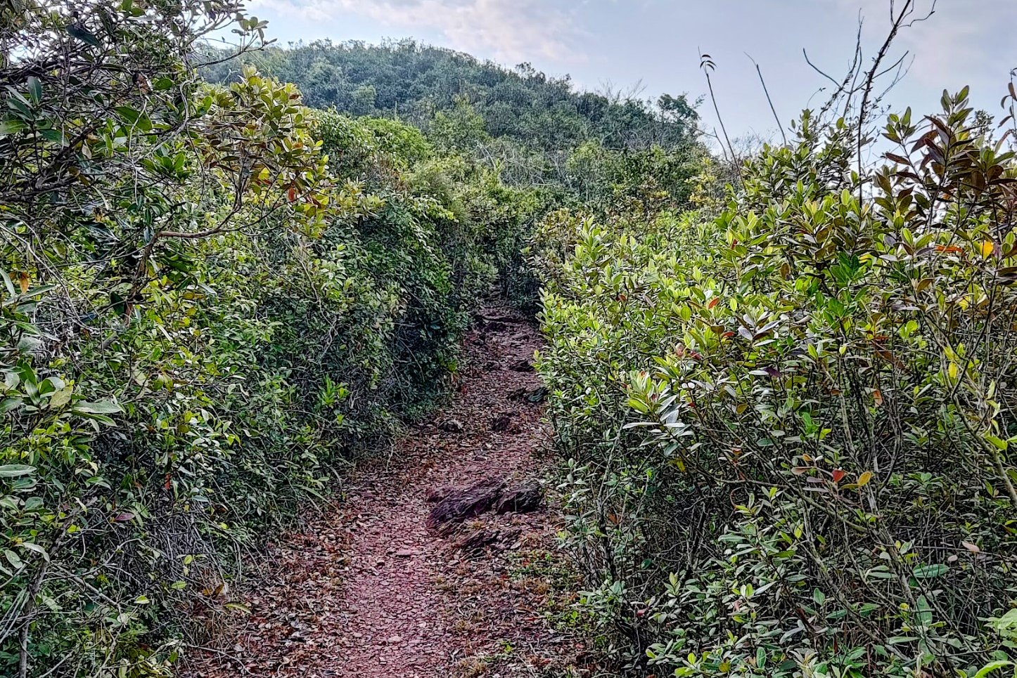
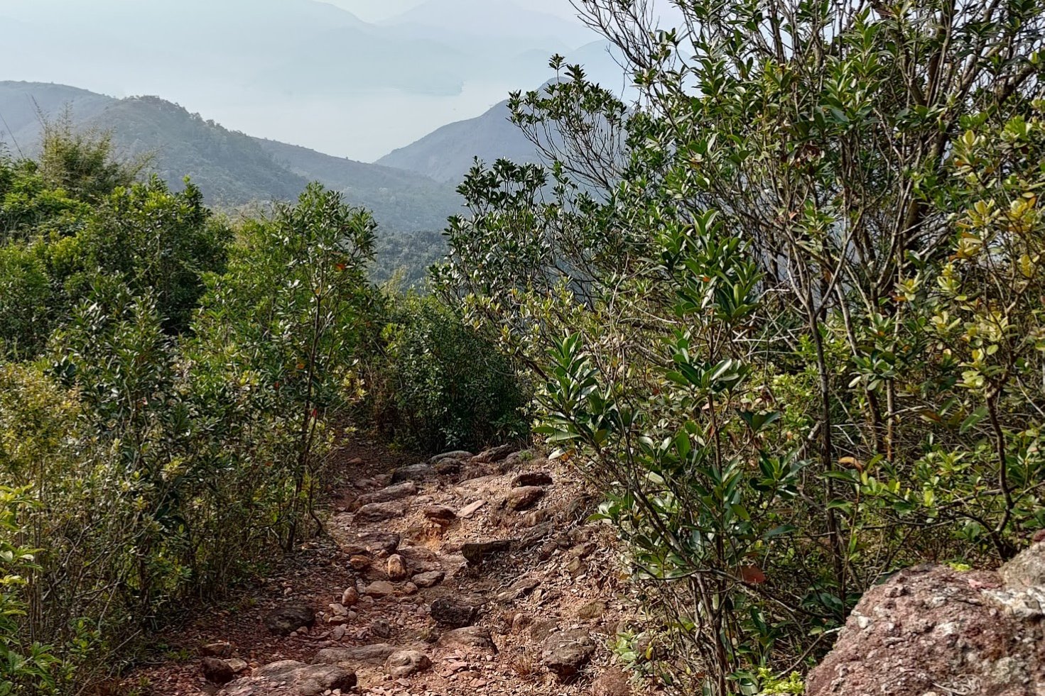
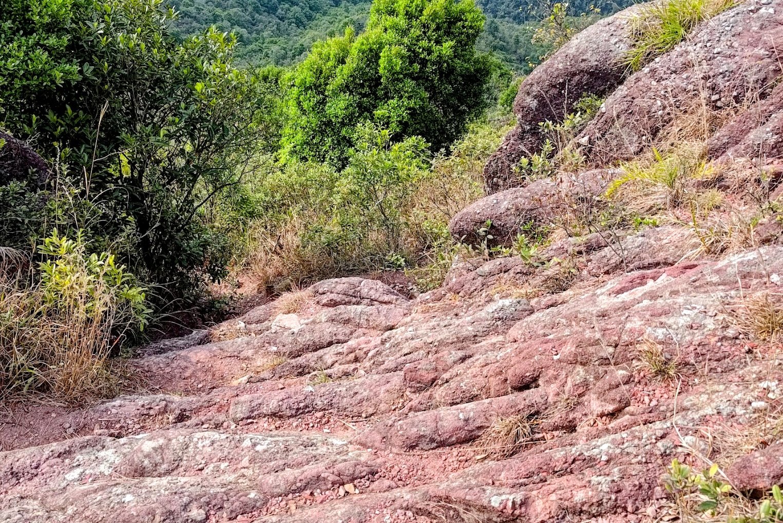
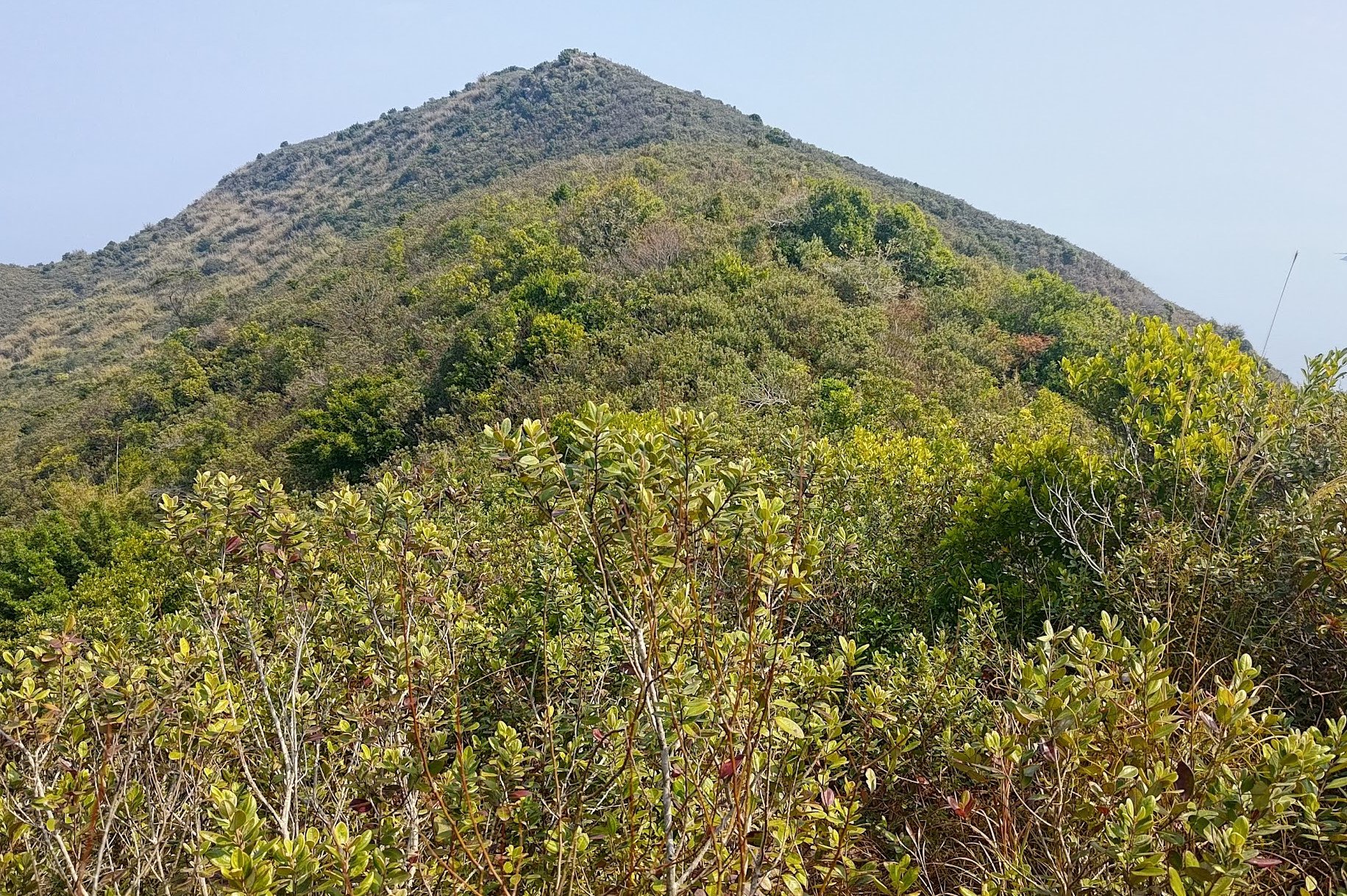
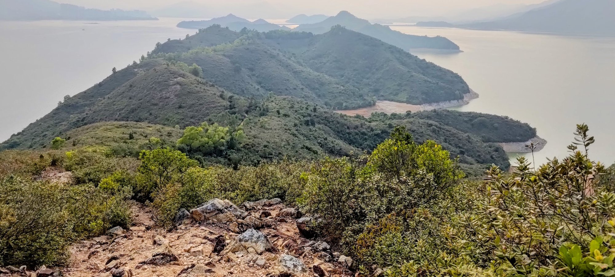
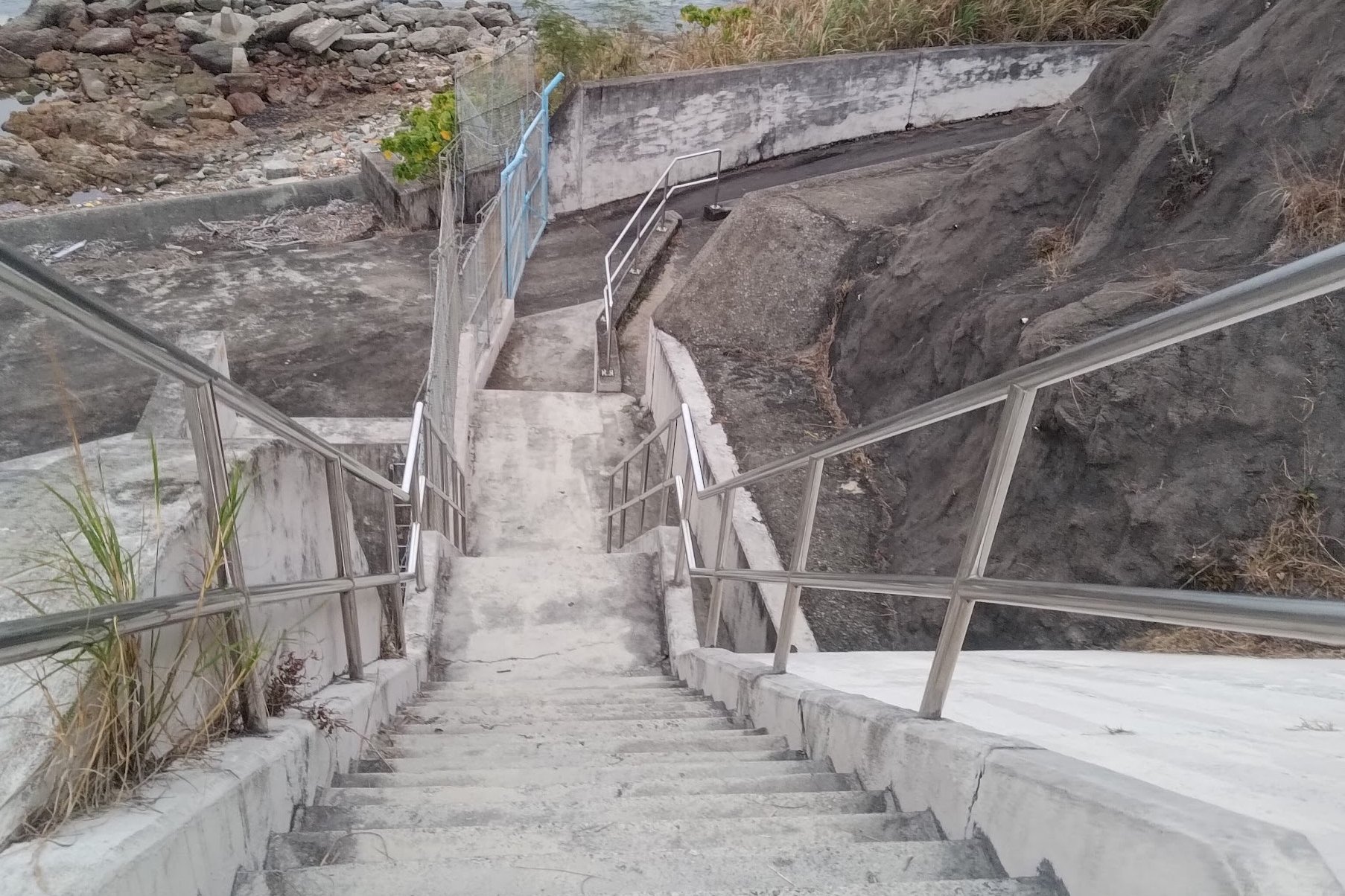
This section of the hike takes about 30 minutes to complete. You'll descend down some very intriguing red stairs before meandering through a forest and ascending up Luk Wu Tung.
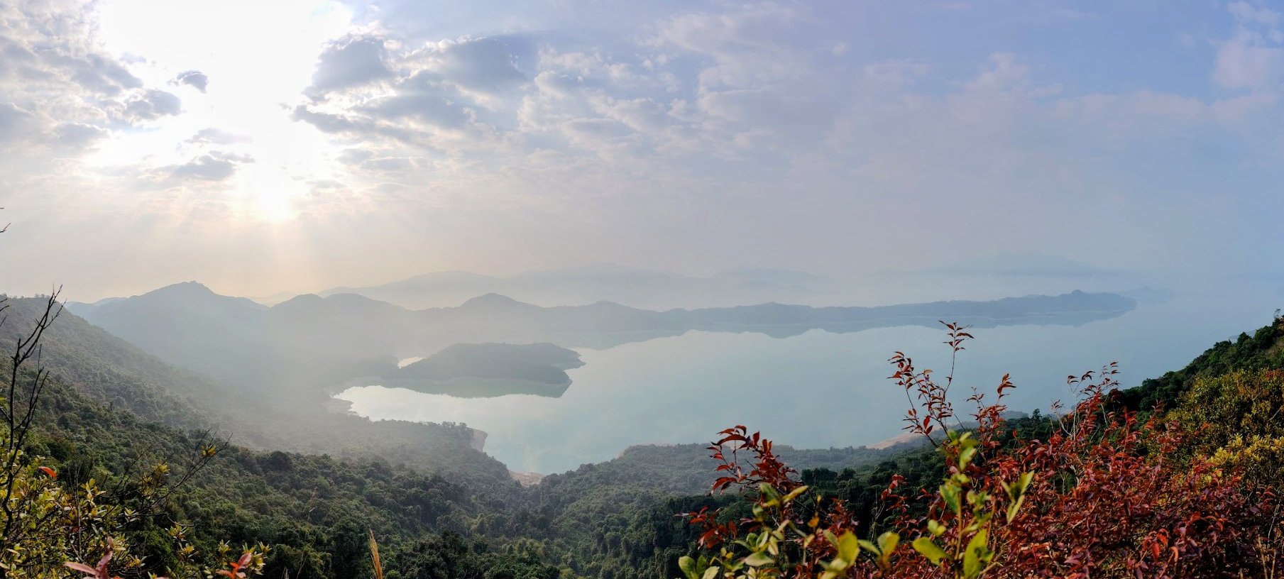
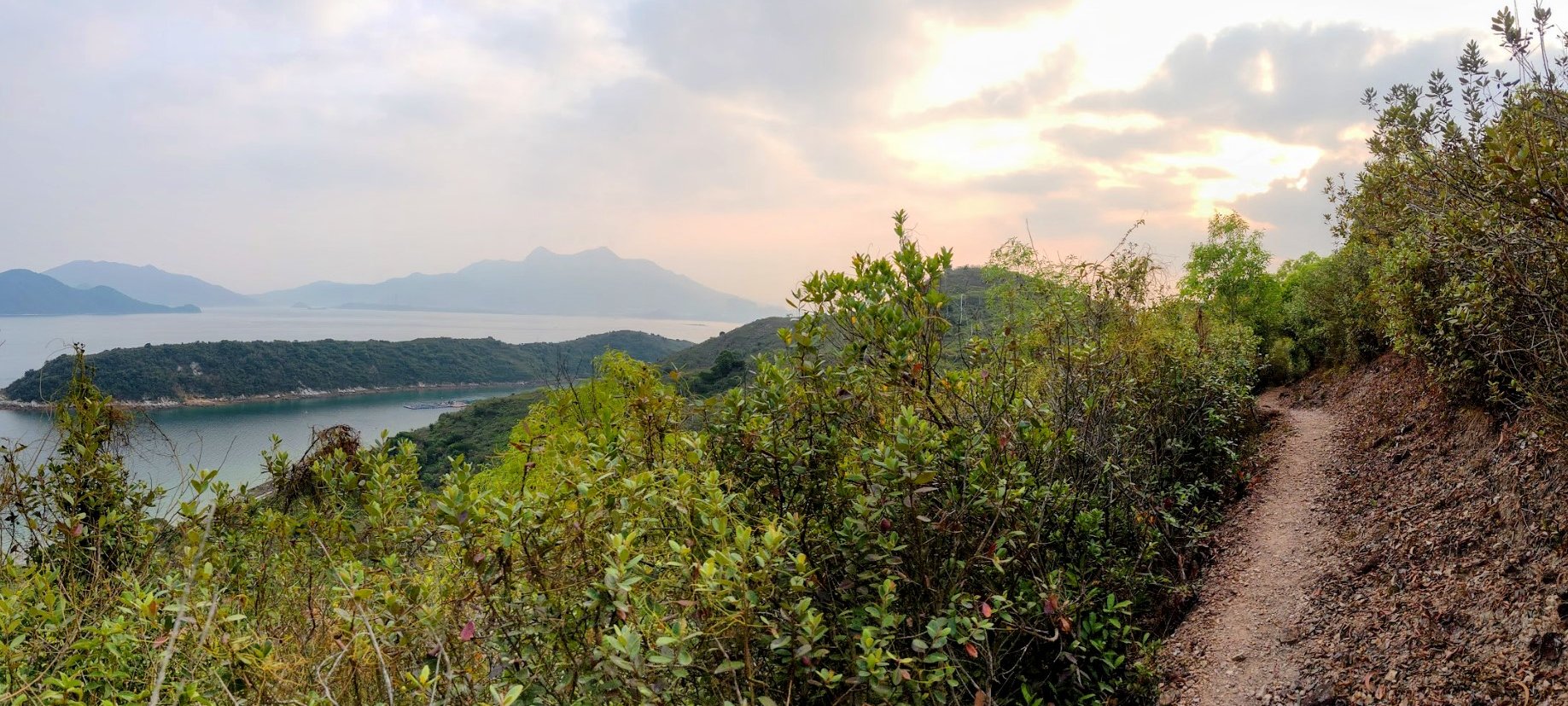
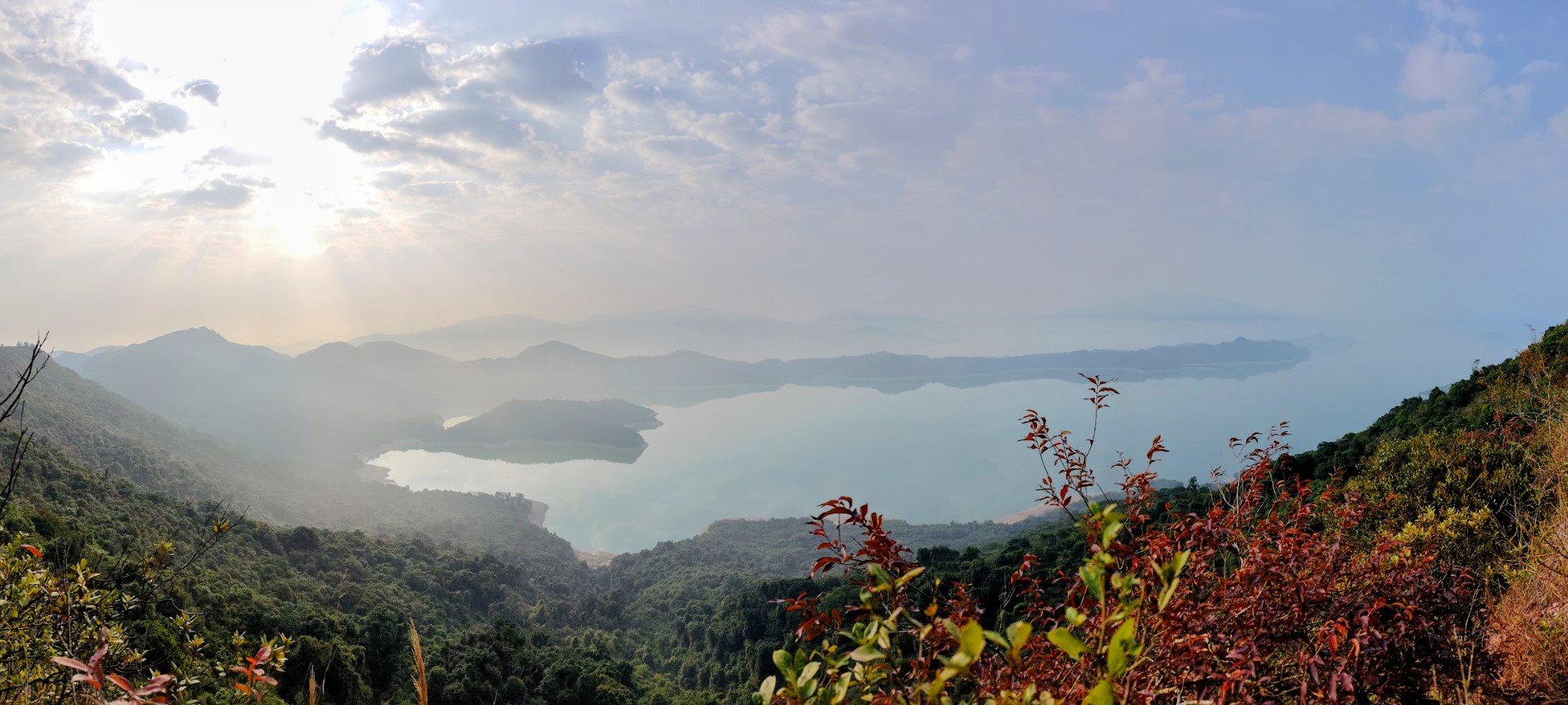
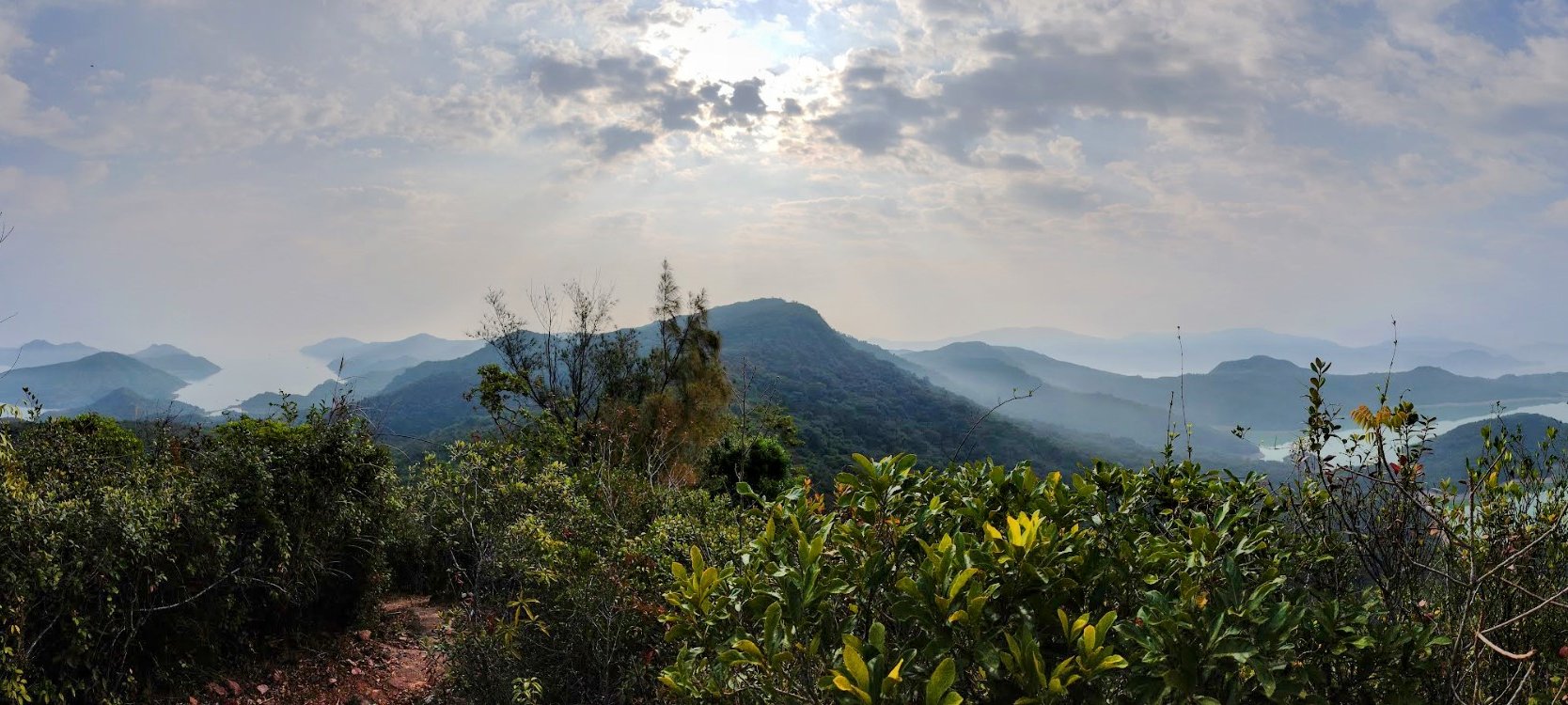
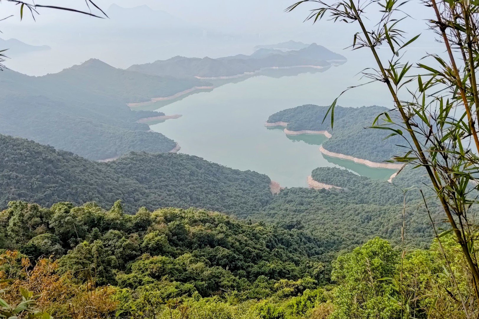
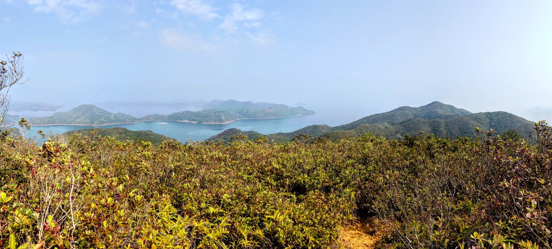
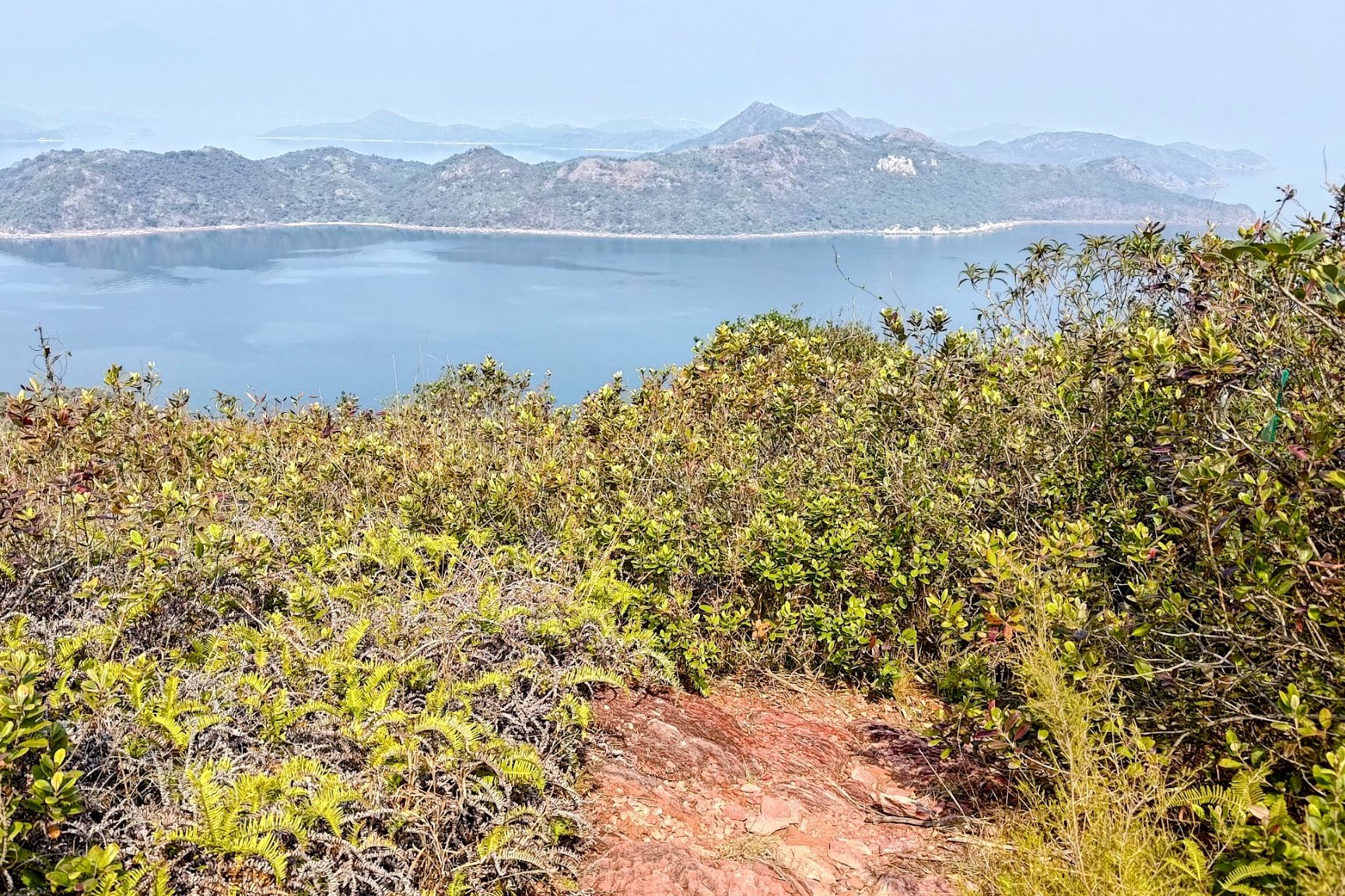
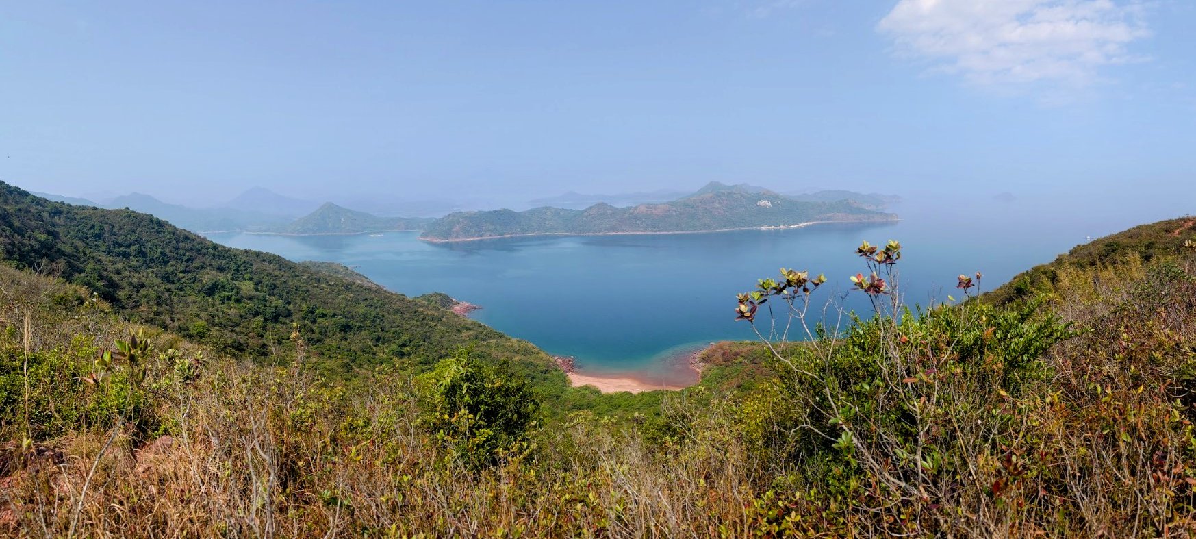
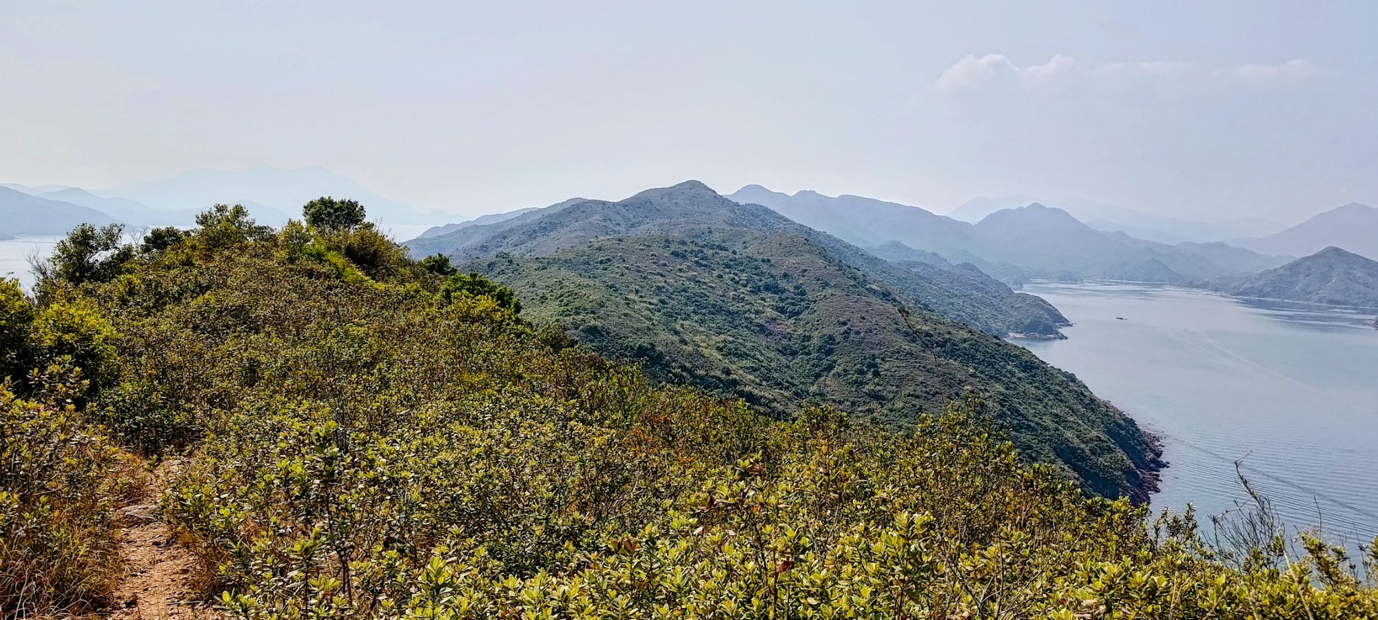
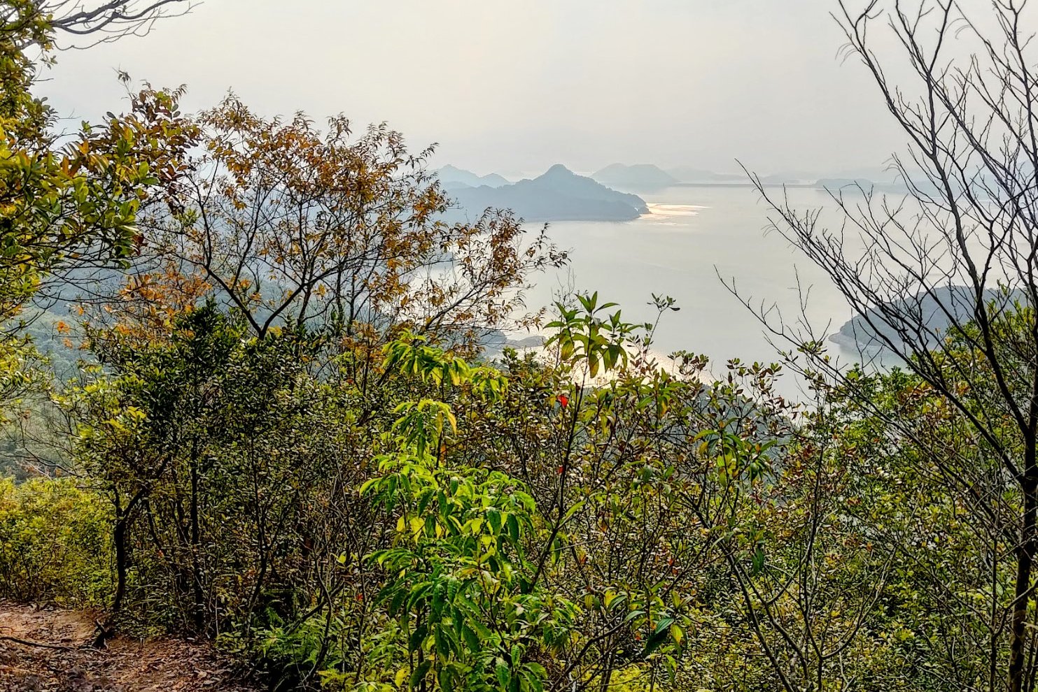
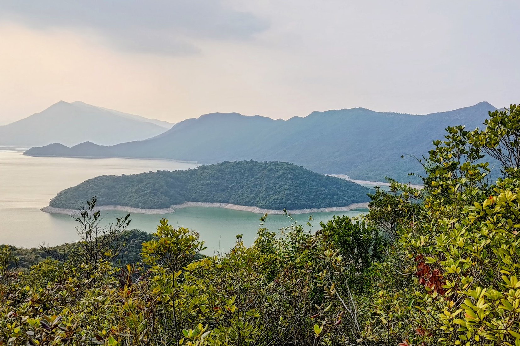
At the top, you will have a great view of Plover Cove Reservoir along with the main dam there if it's a clear day.
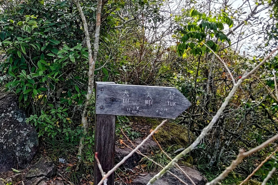
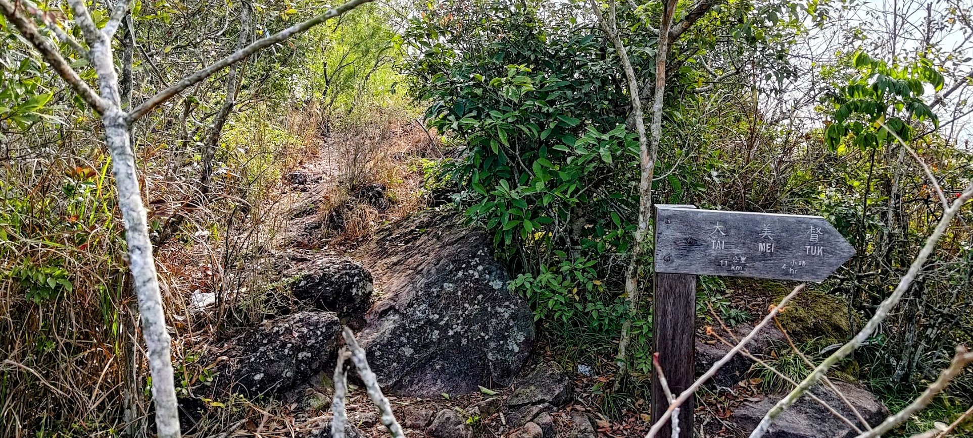
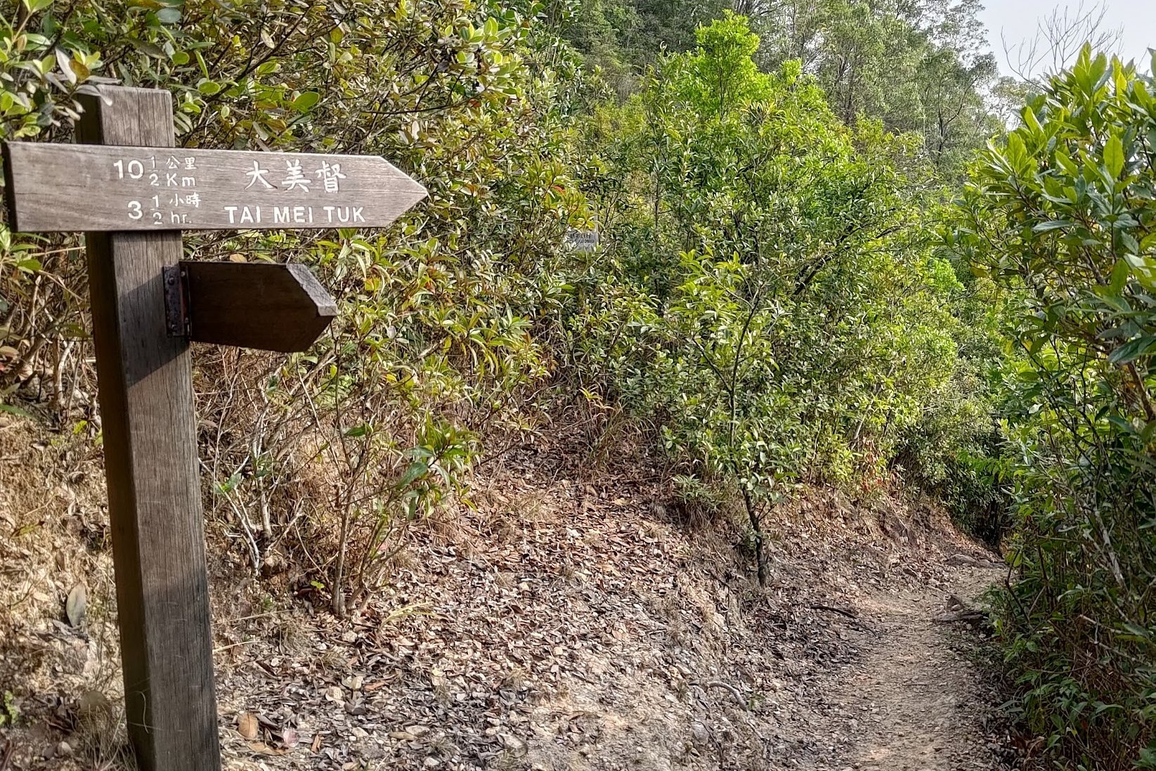
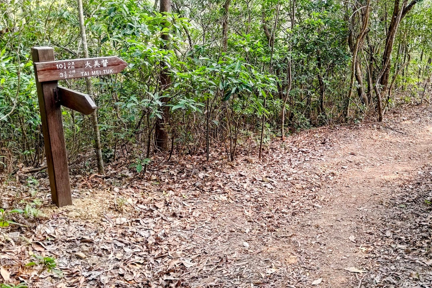
The two signs ahead is where you'll make your decision to continue to Devil's Fist or head to Tai Mei Tuk via Plover Cove. If you're already tired, do not head to Devil's Fist. Take the Tai Mei Tuk path.
If you're set on visiting the Devil's Fist, take the unmarked path behind the Tai Mei Tuk sign.
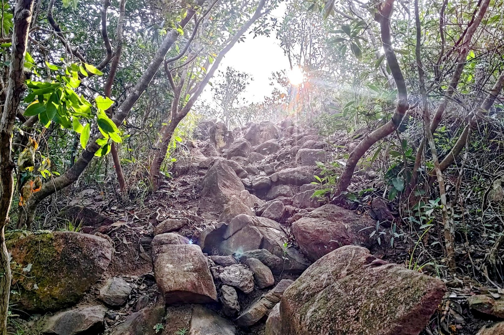
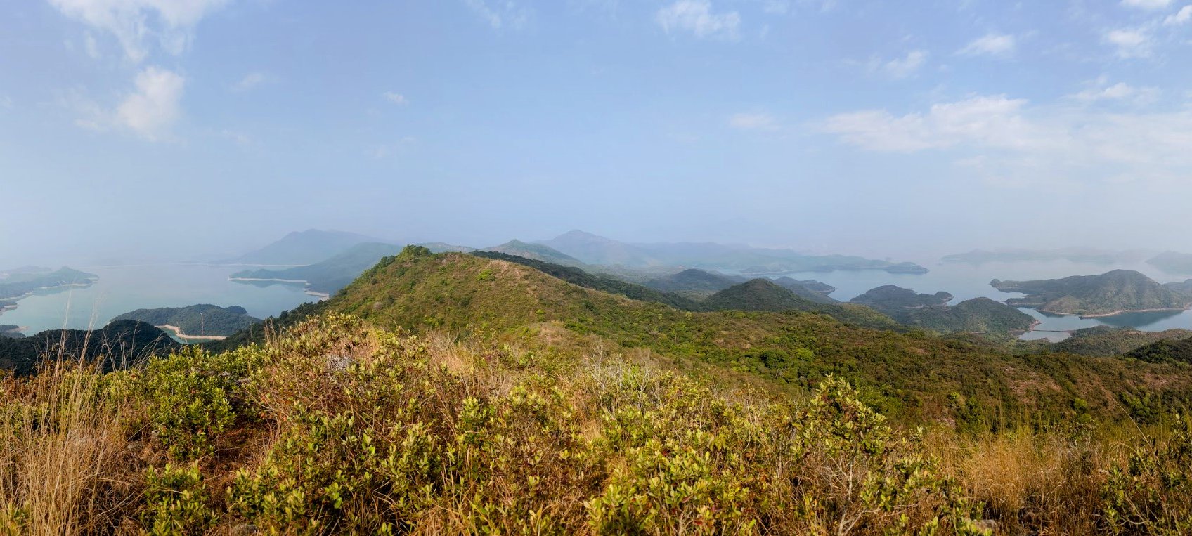
Fung Wong Tau: Final Plover Cove and Devil's Fist Intersection
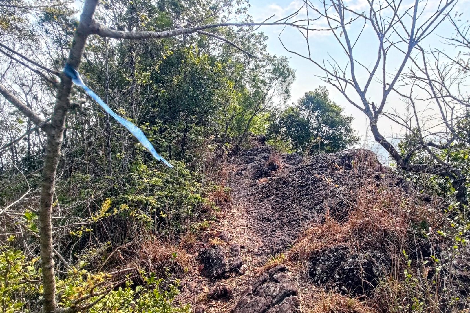
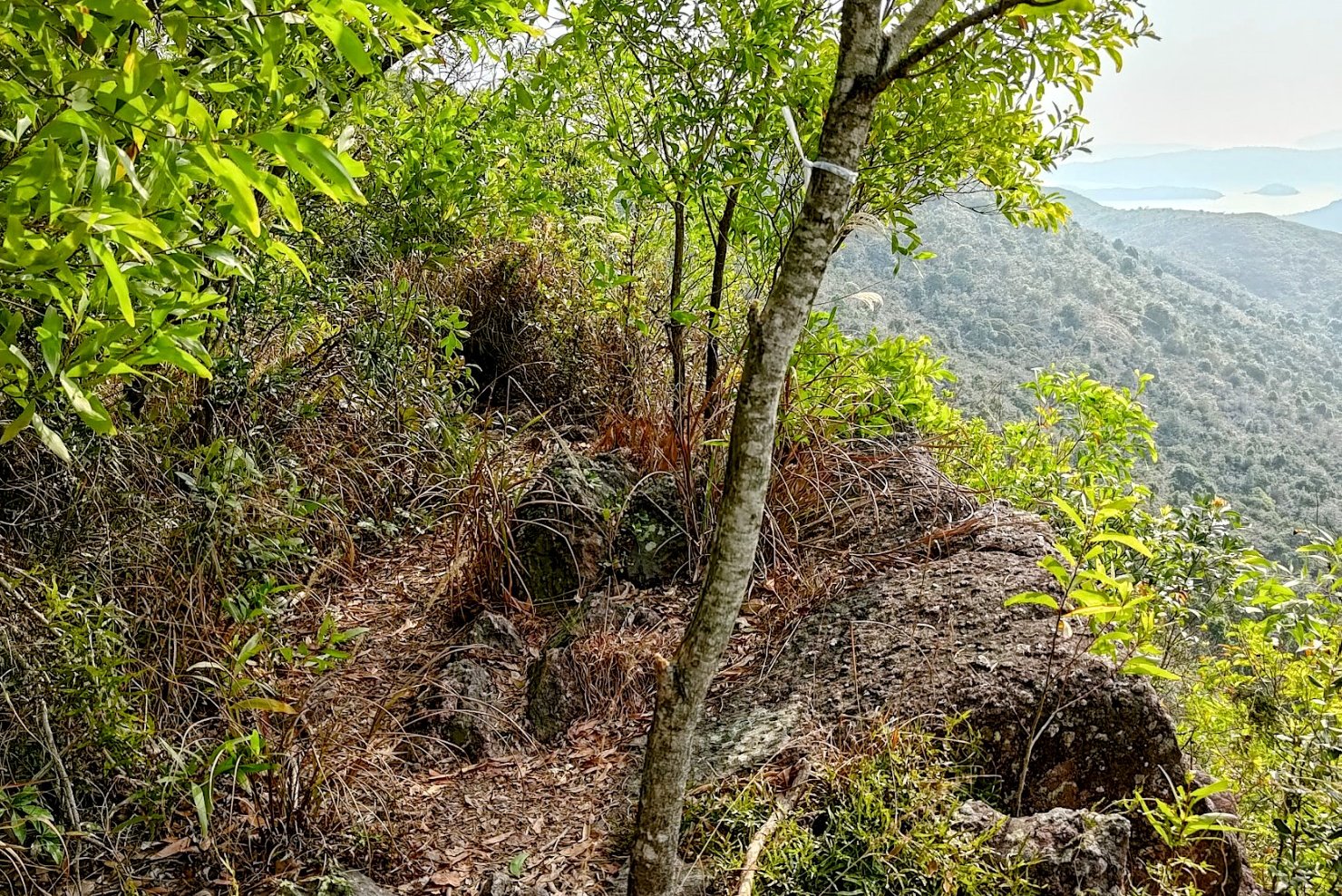

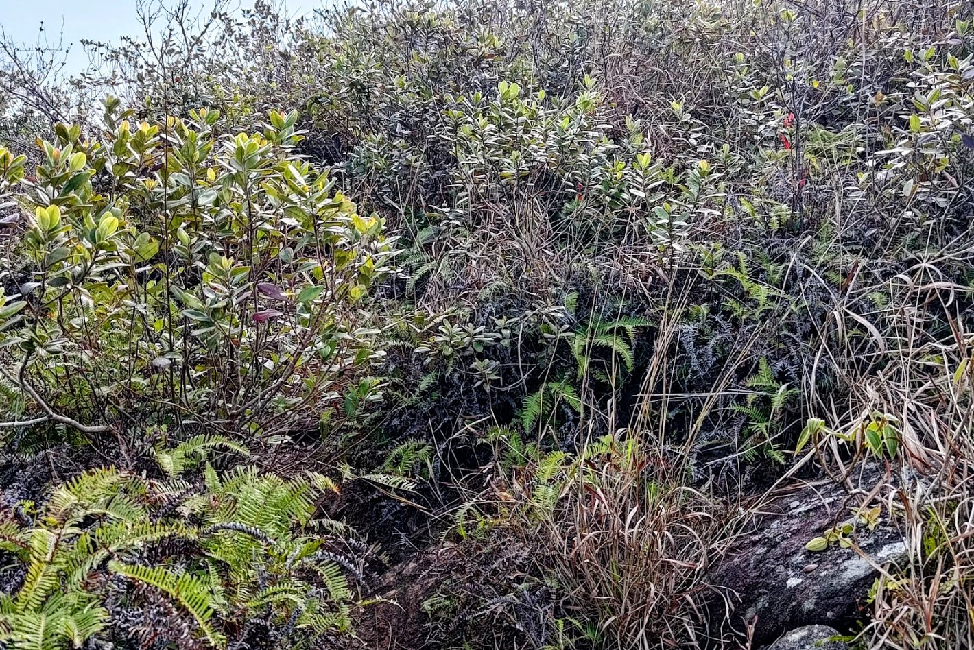
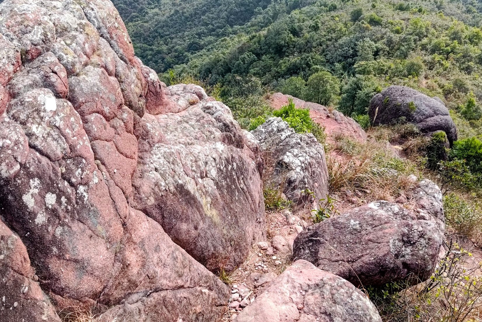

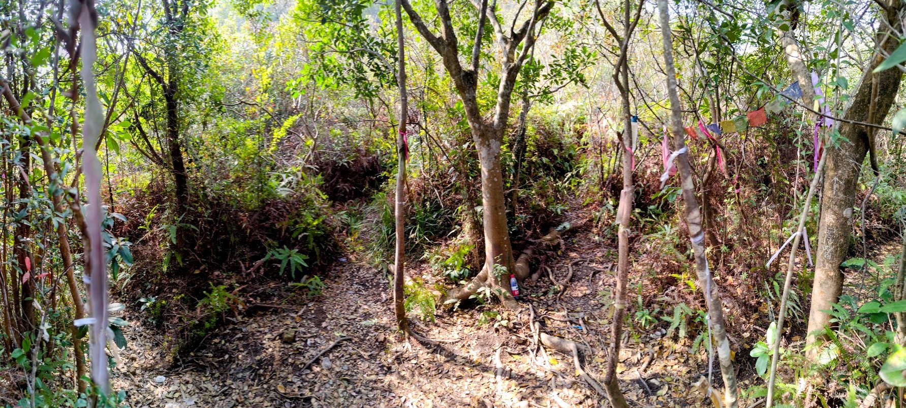

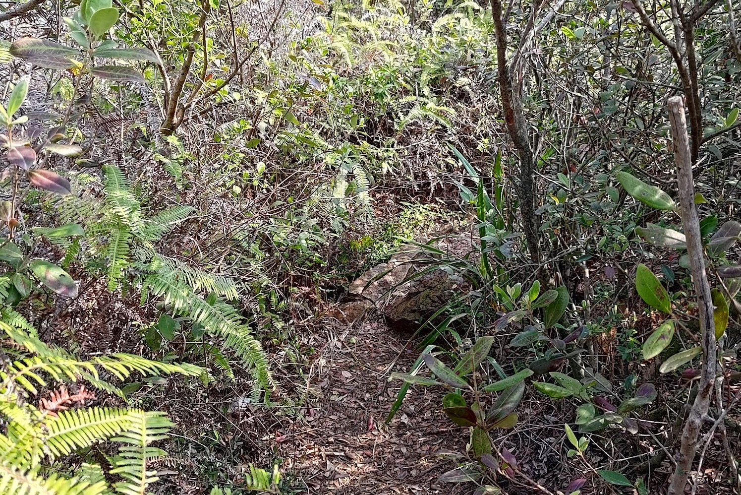
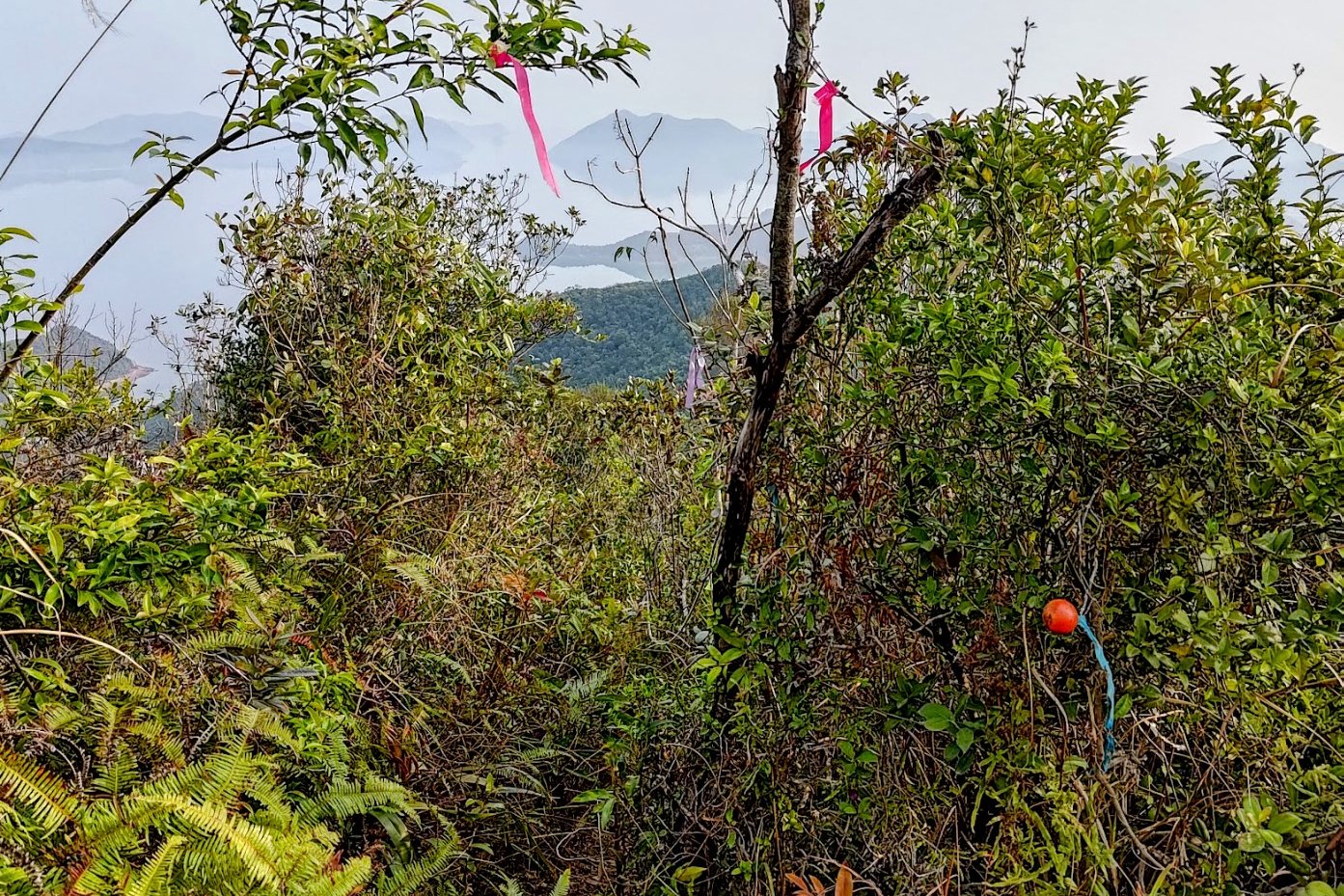
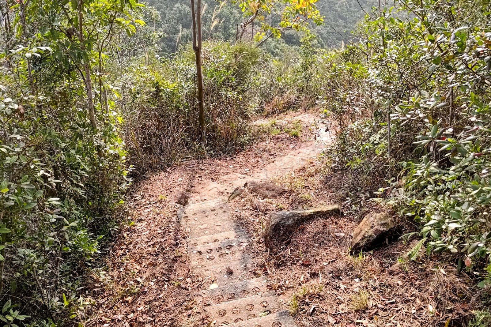
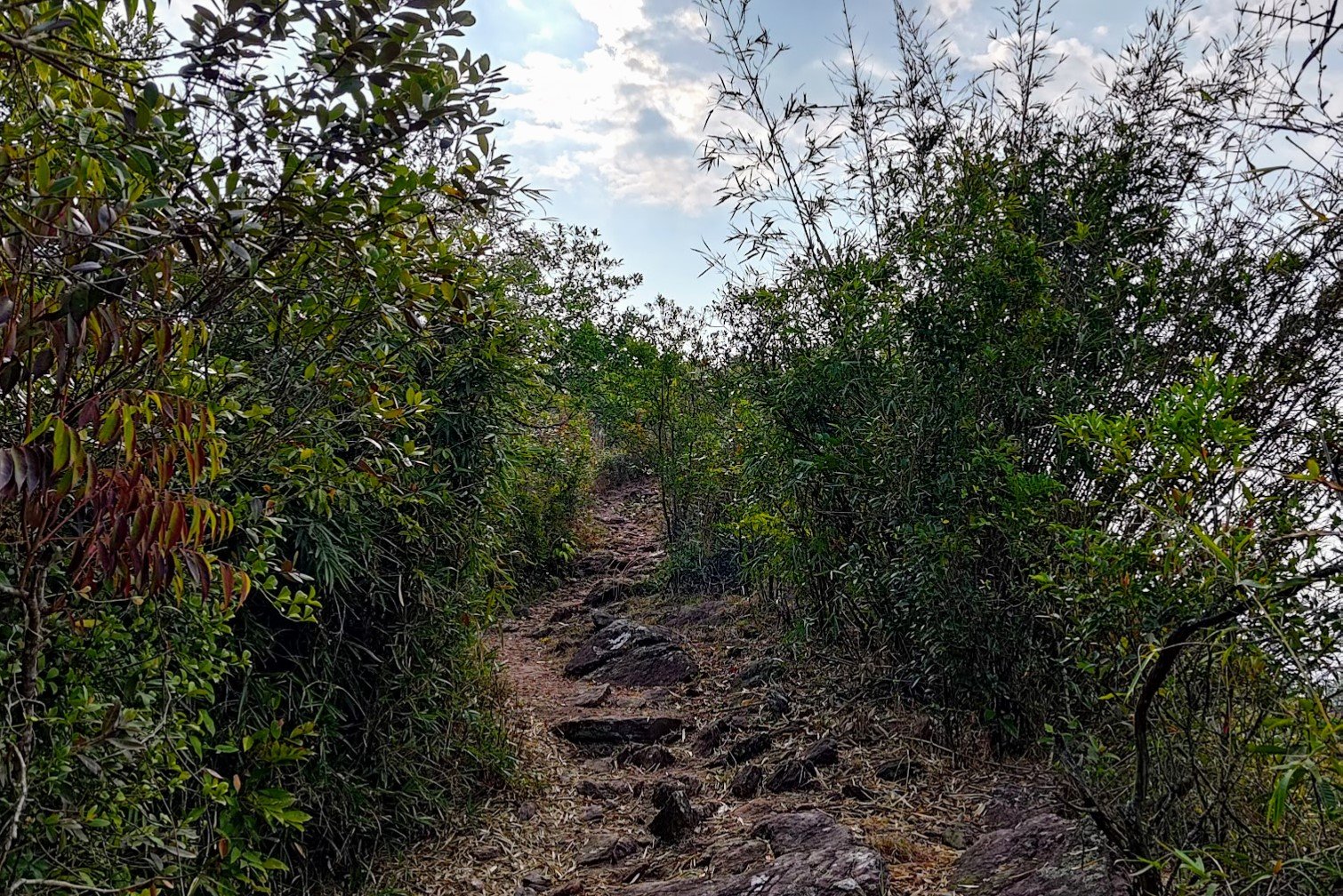
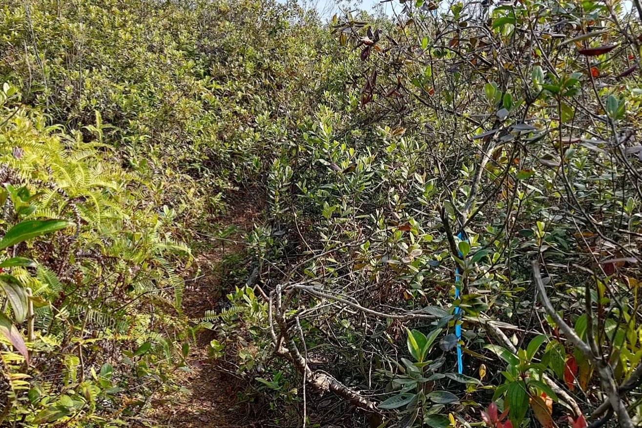
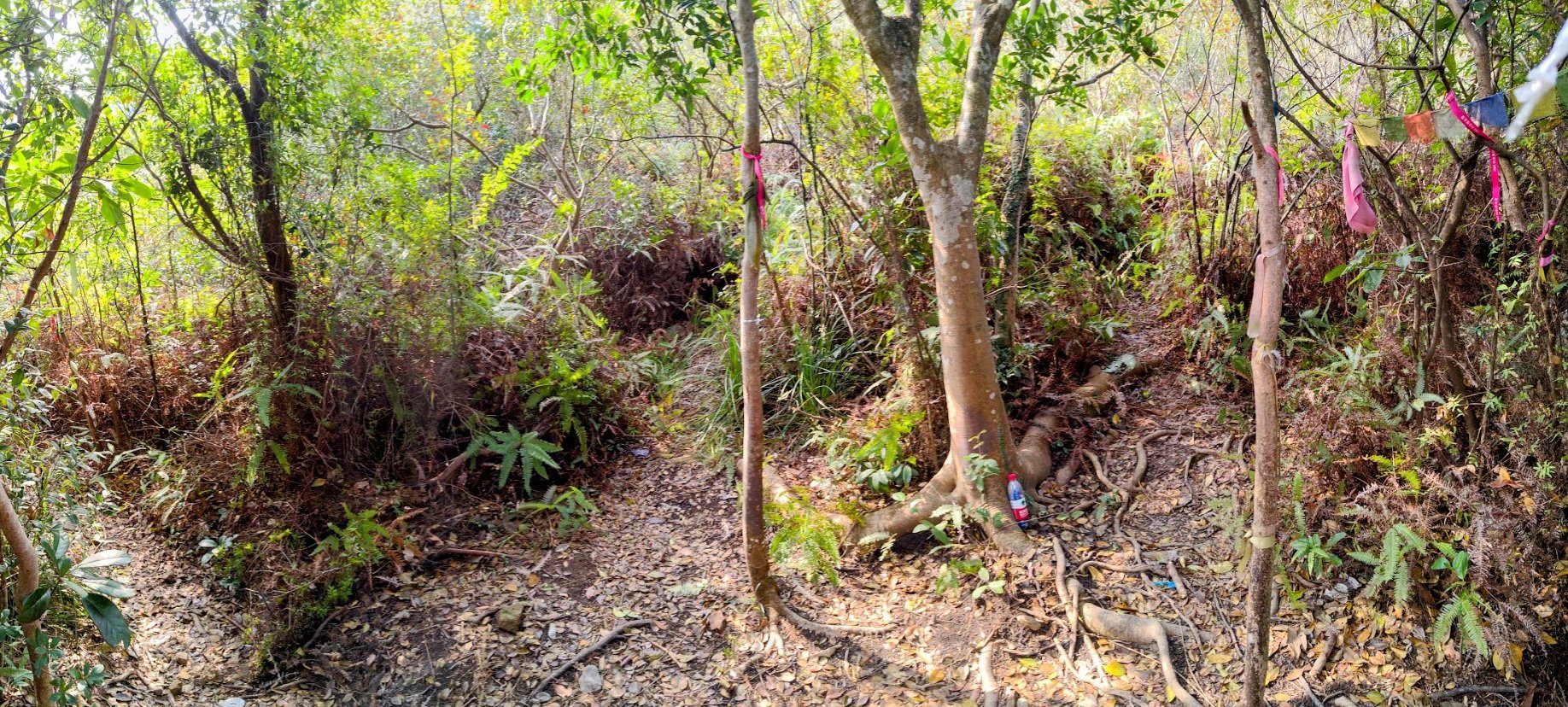
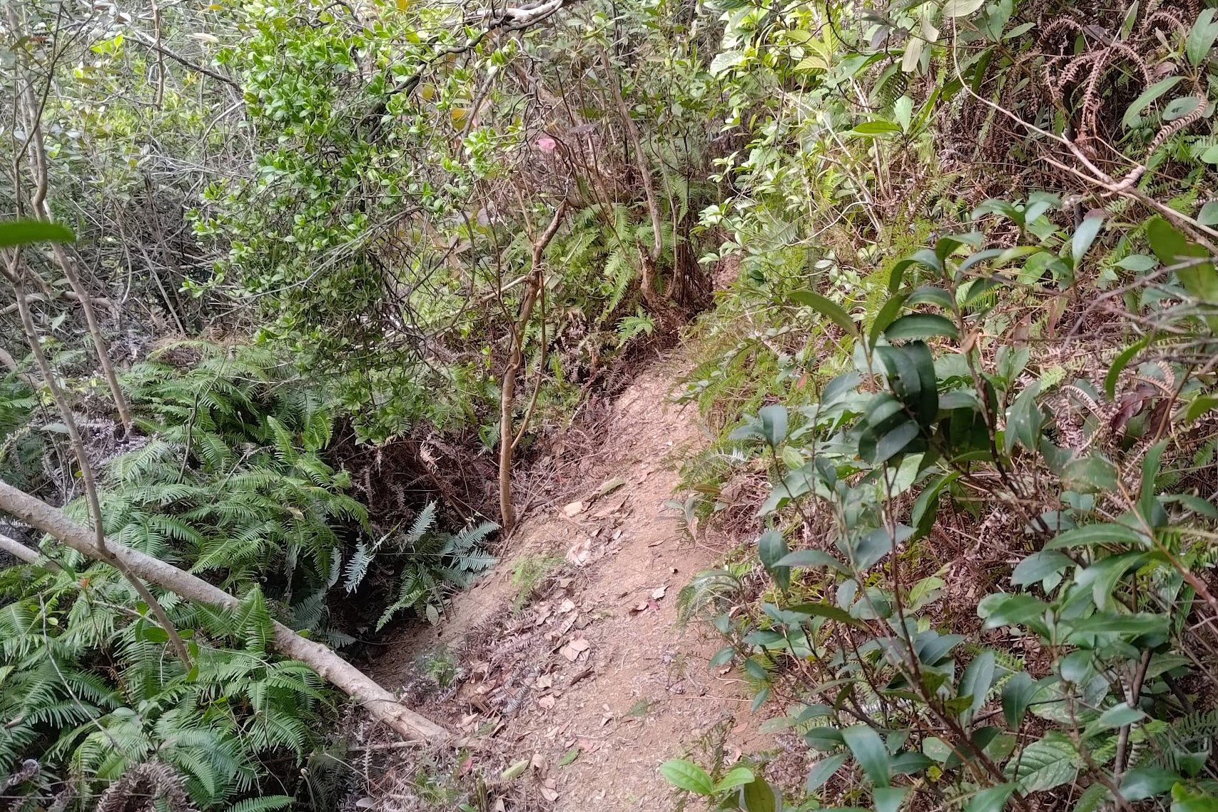
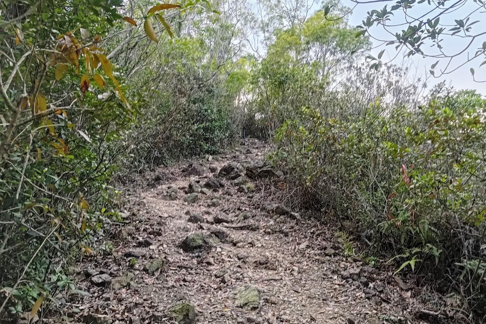
This section of the hike took about 35 minutes. You will begin to get an idea of how rough the trail is as you follow ribbons and get scratched up.
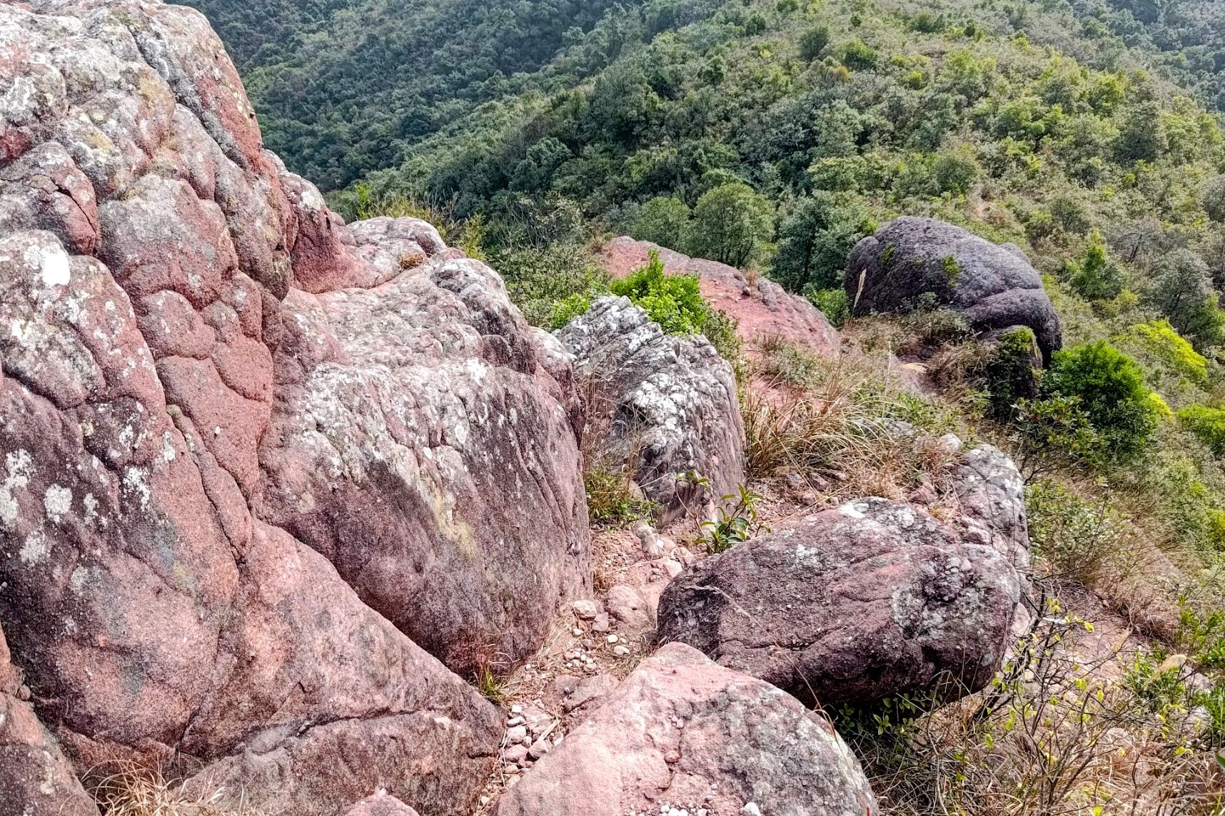
Instead of descending down stairs, you will have to navigate your way along large boulders and steep, rocky terrain.
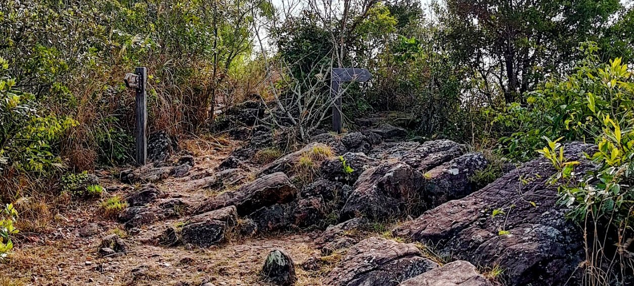
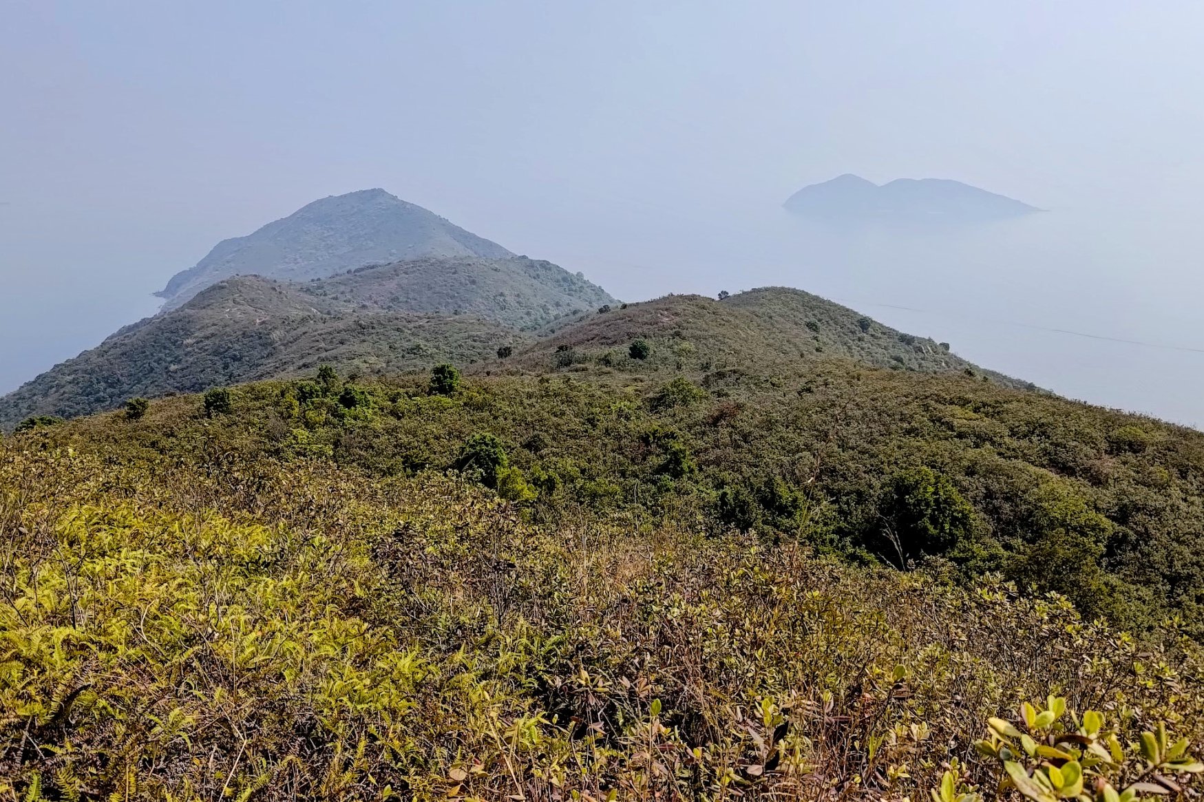
As you climb and descend further, you will arrive at Fung Wong Tau, a forested section of the trail with two branching paths.
One leads back to the Plover Cove hike trail. The other will take you towards Devil's Fist.
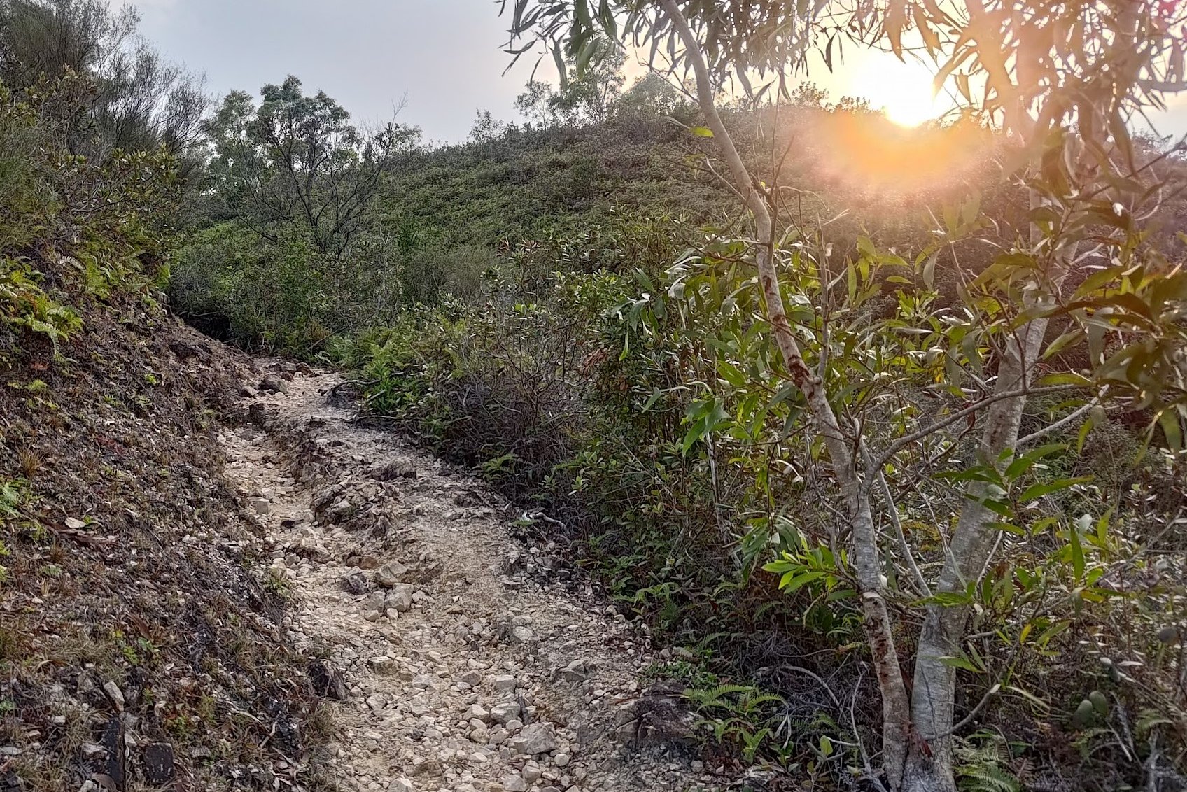
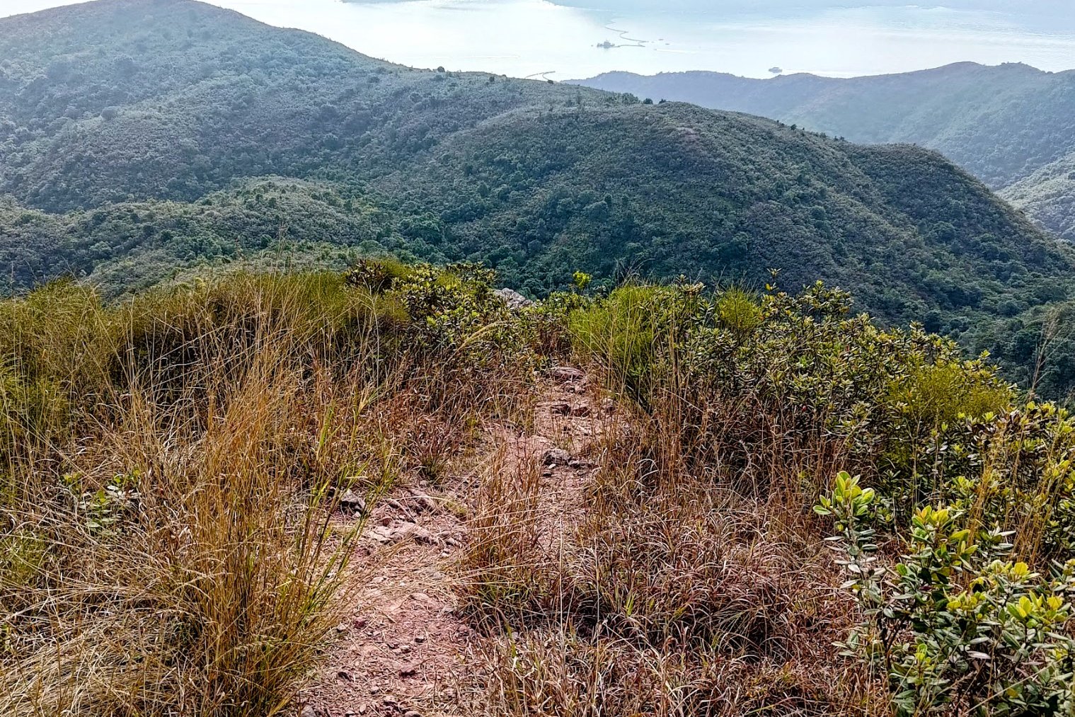
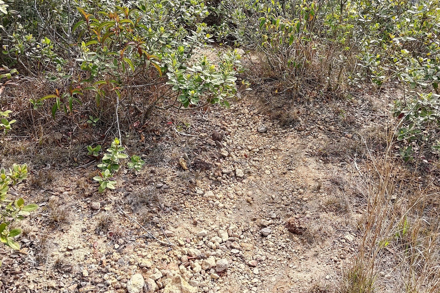
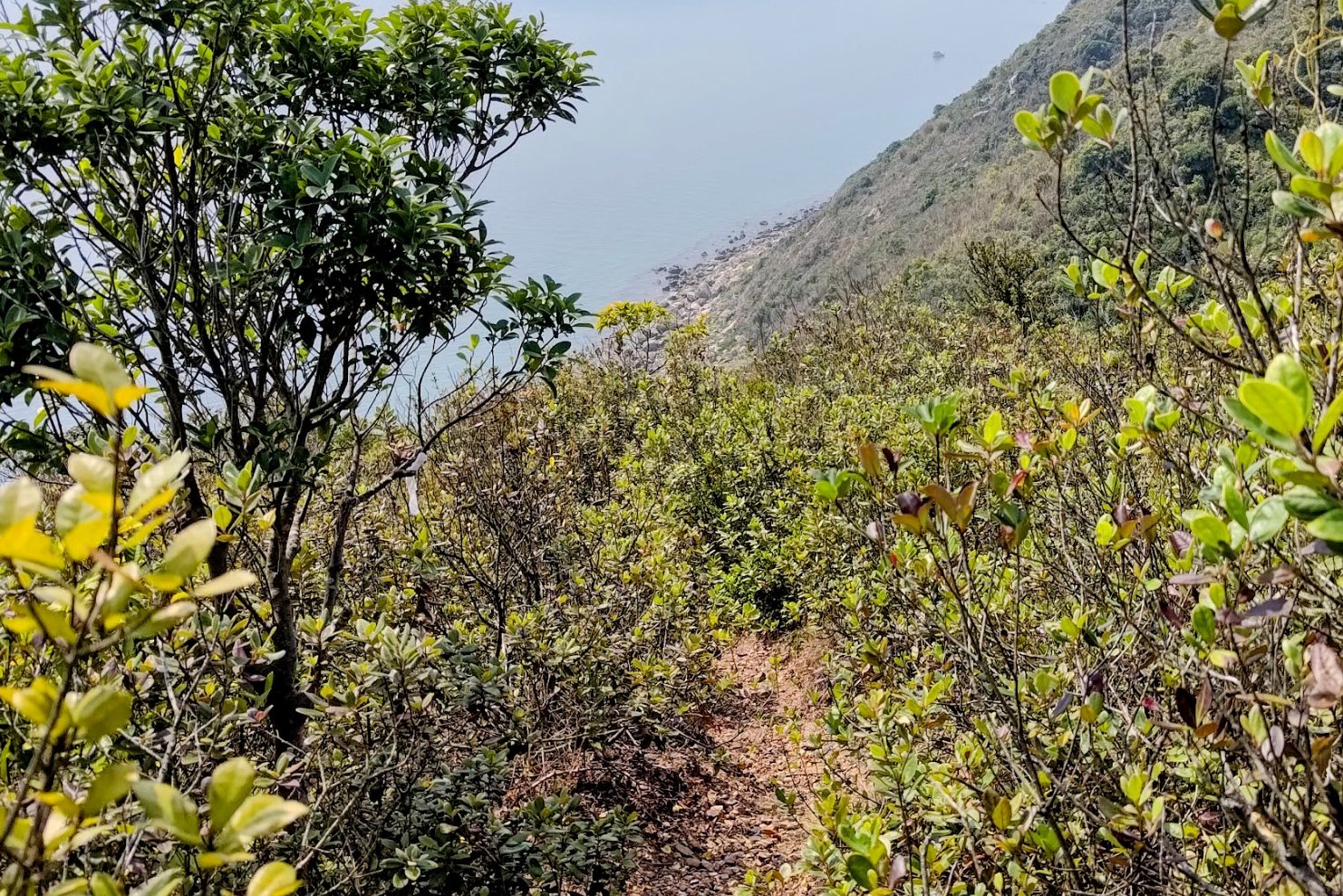
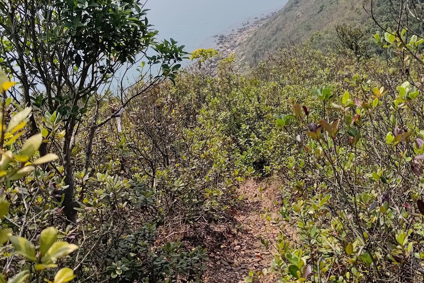
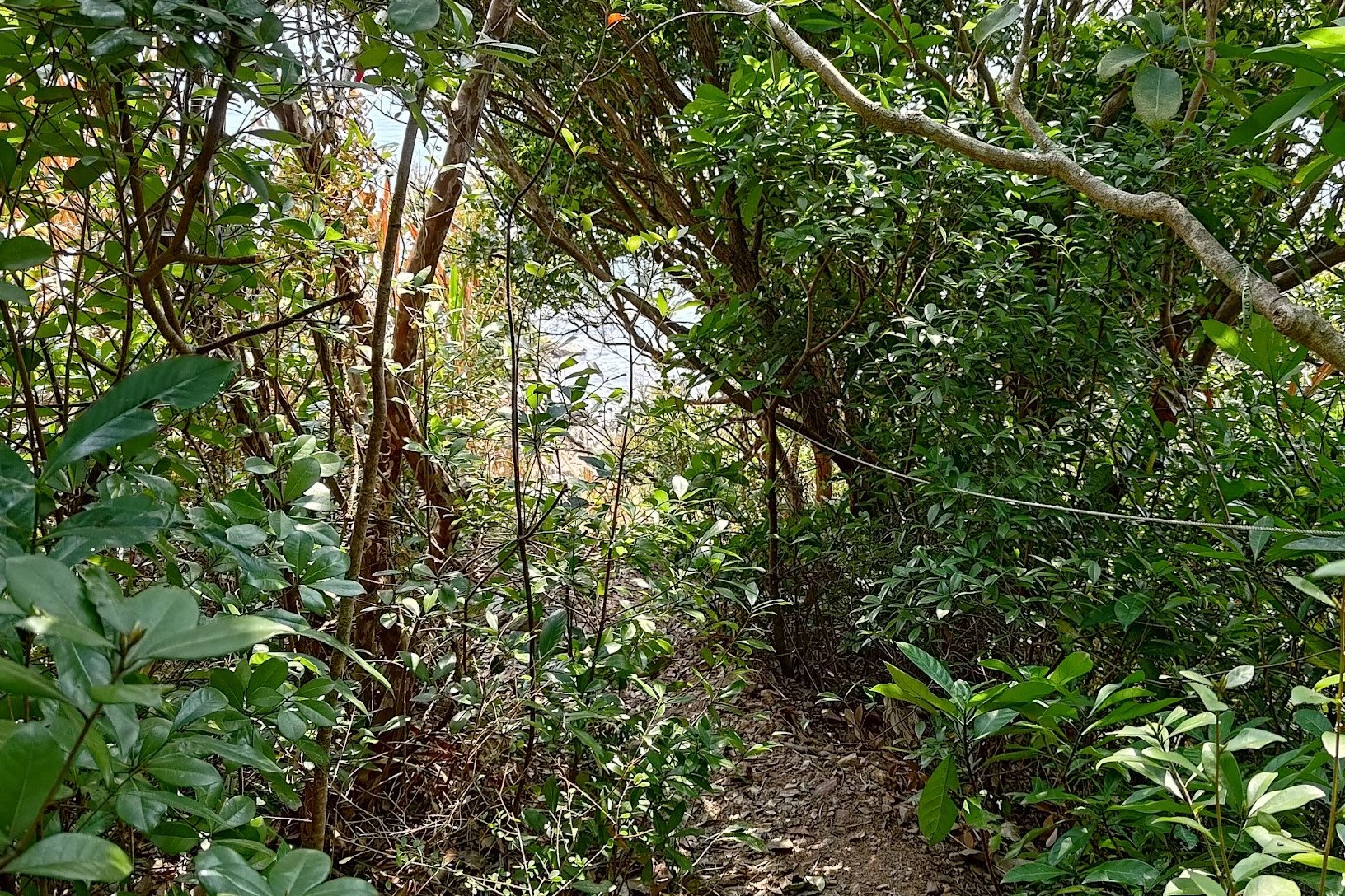
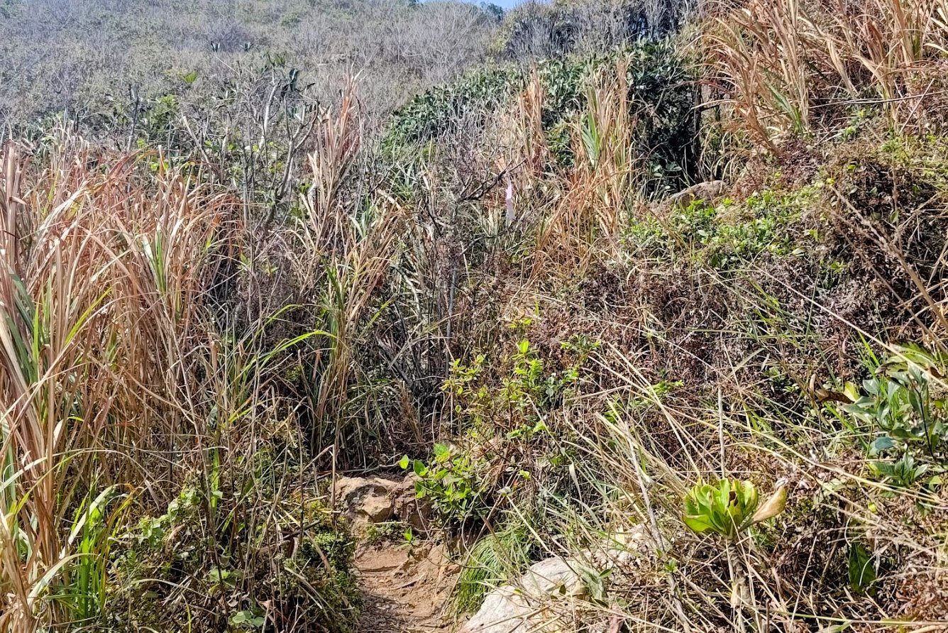
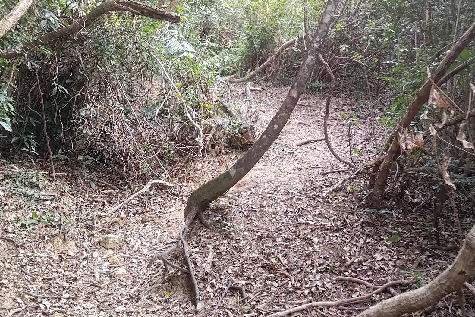
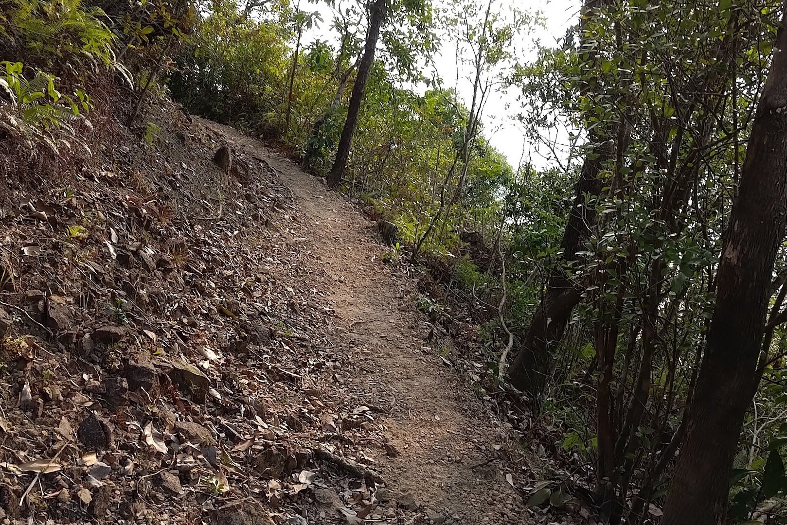
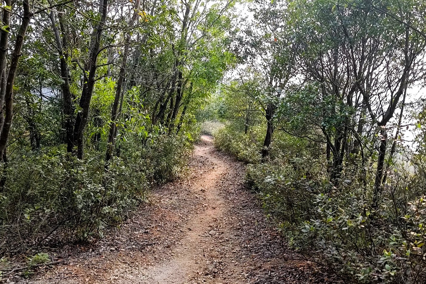
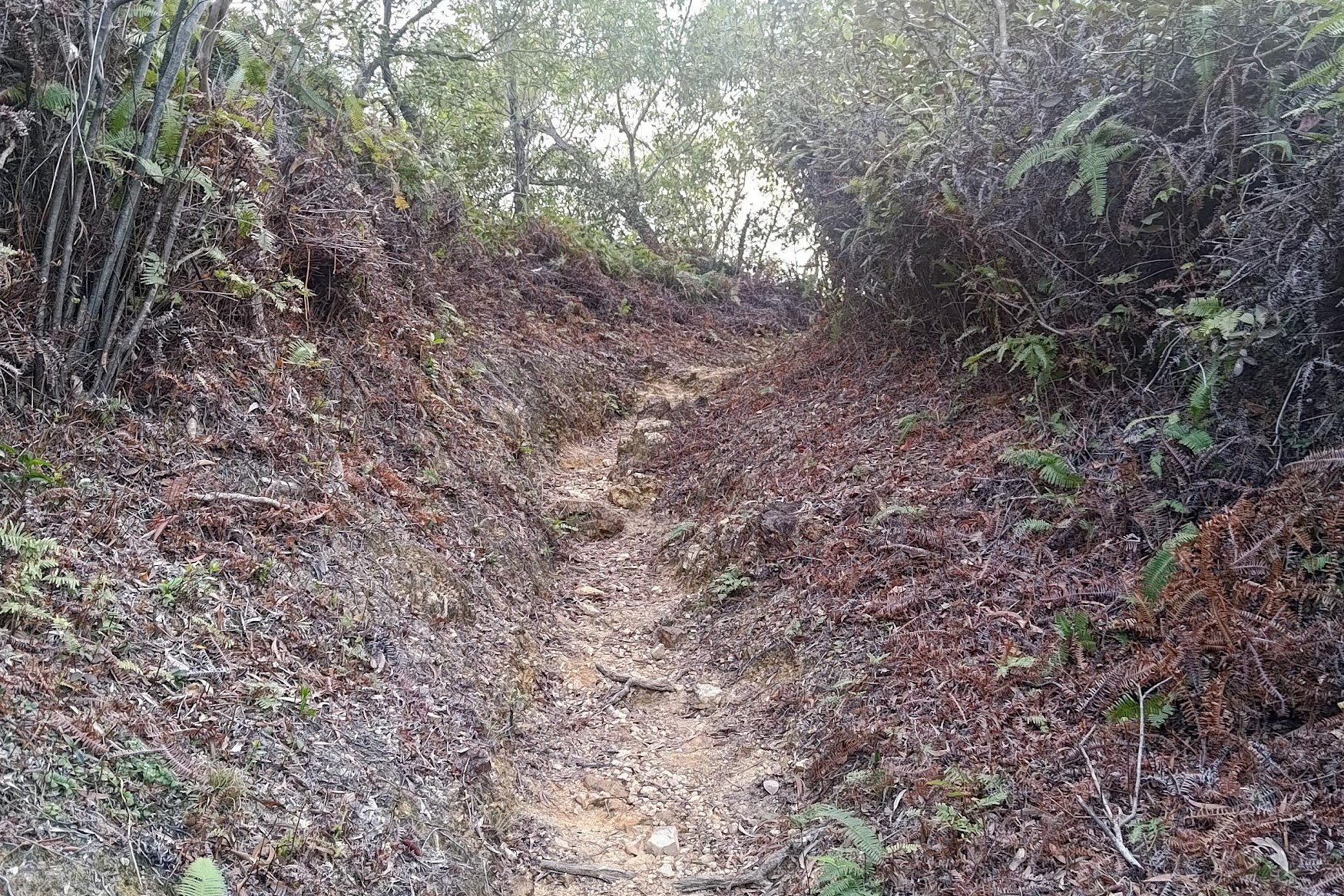
2 Hours of Undulation and Torture
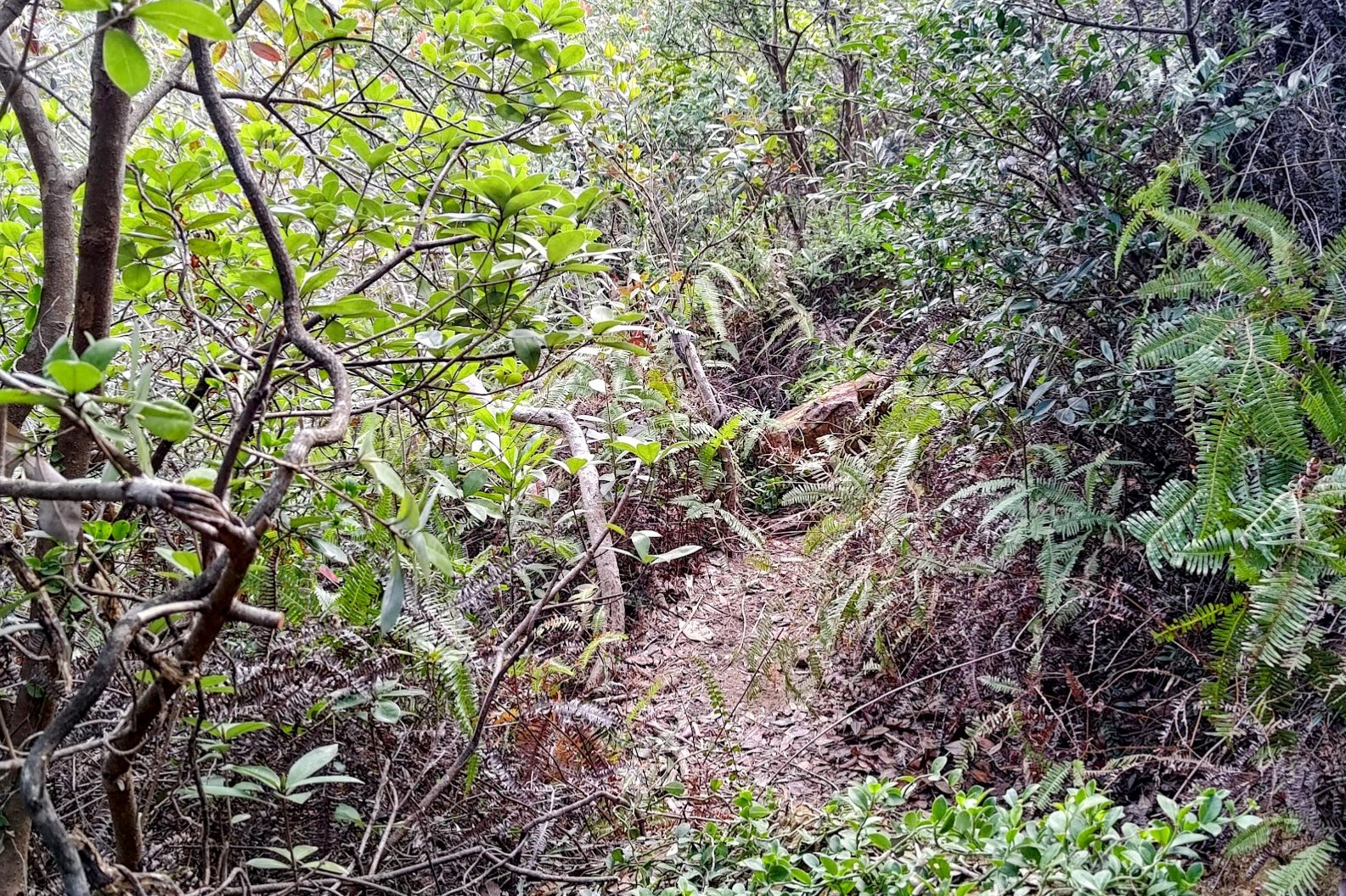
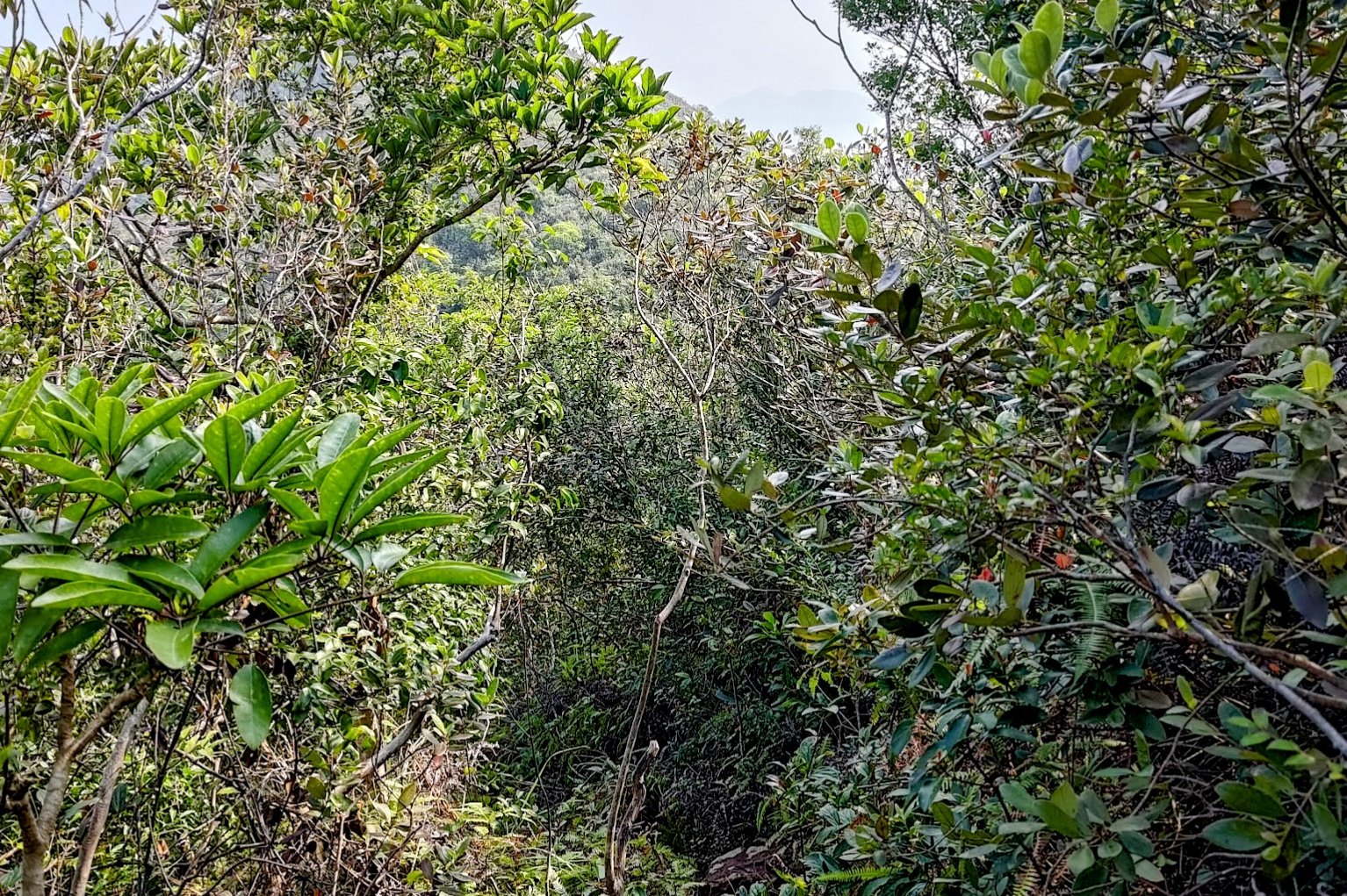
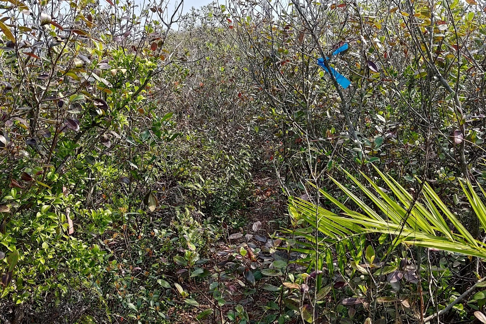
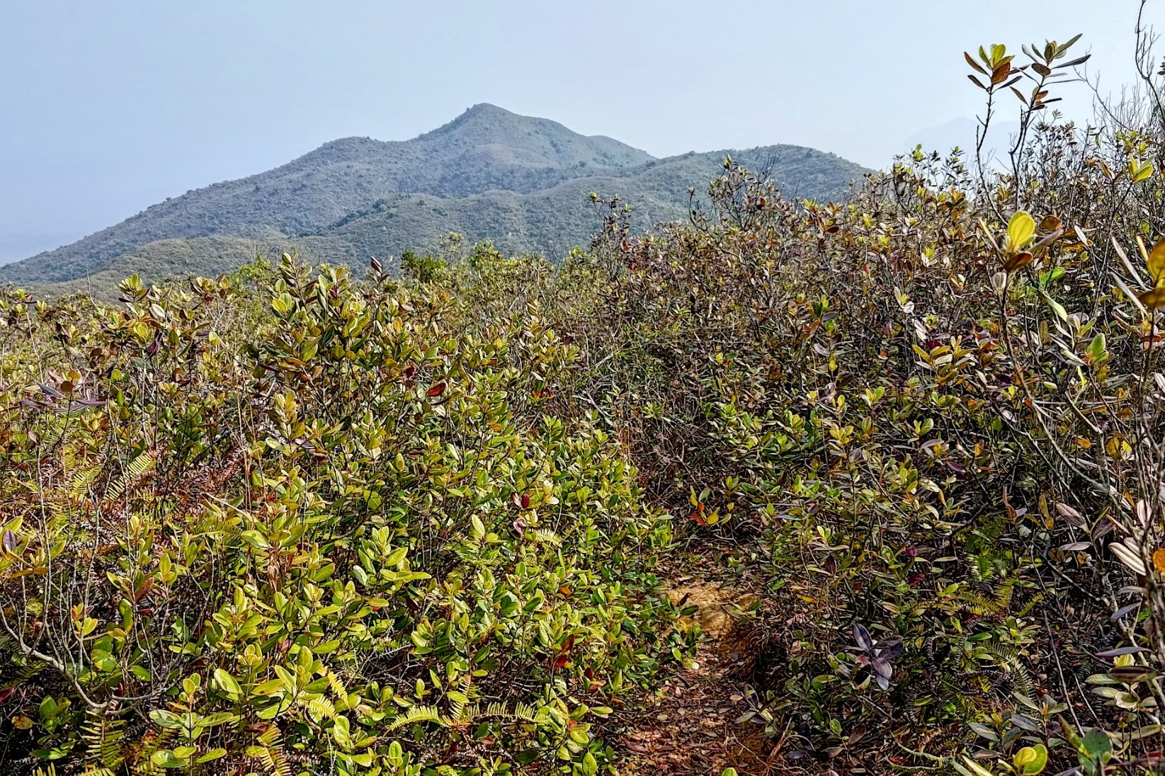

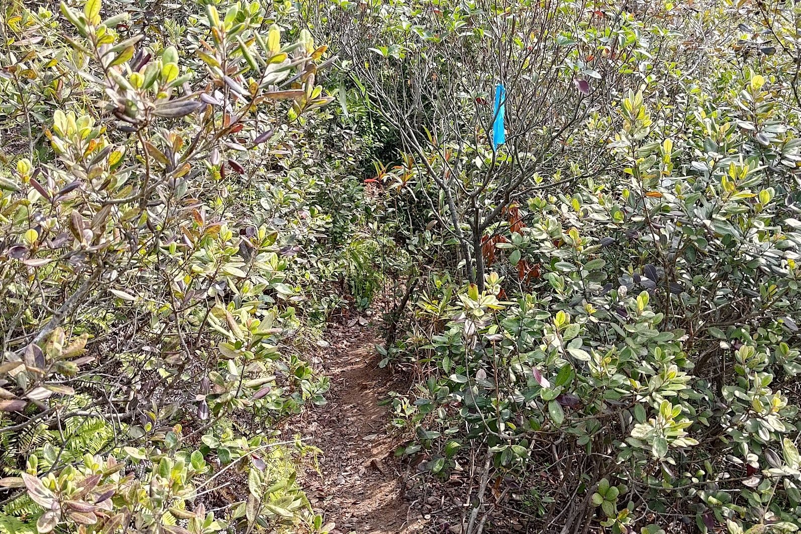
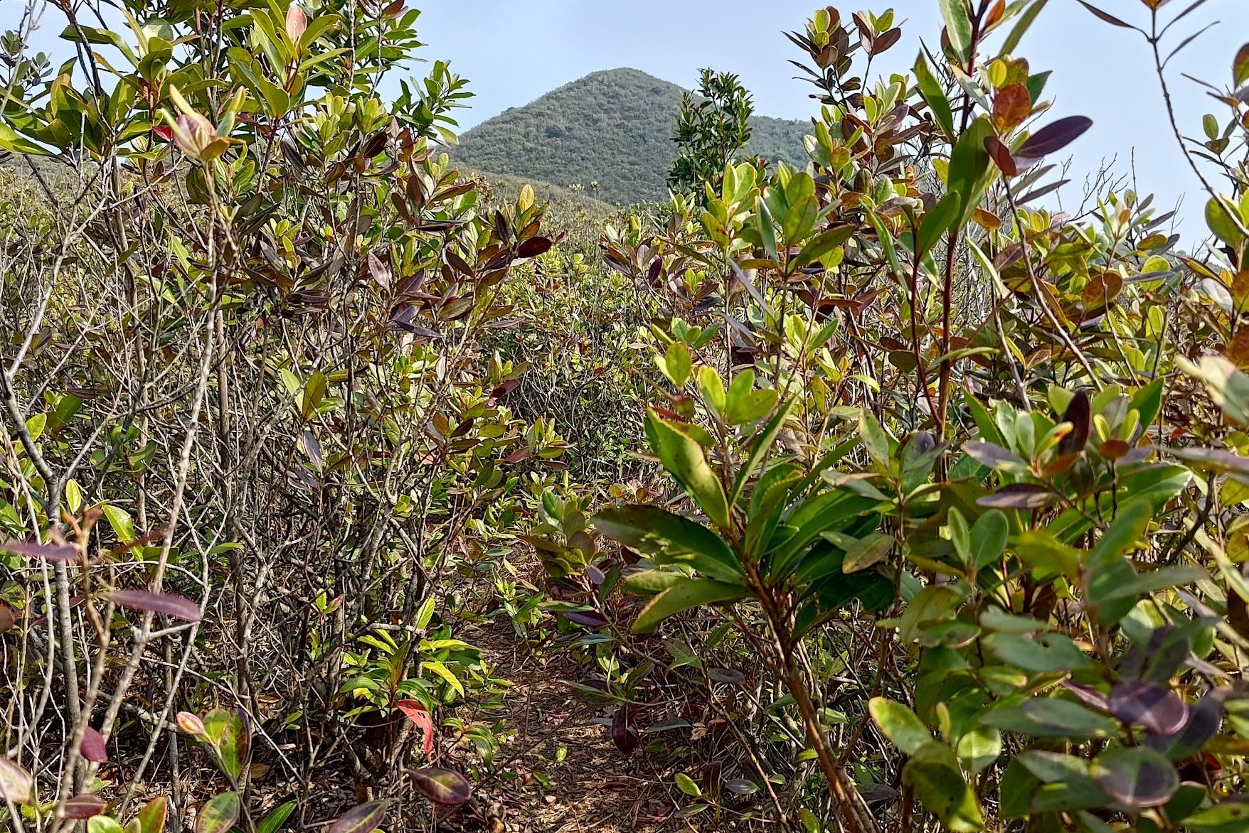
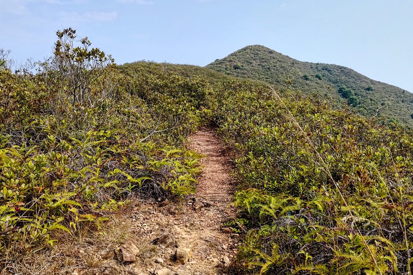
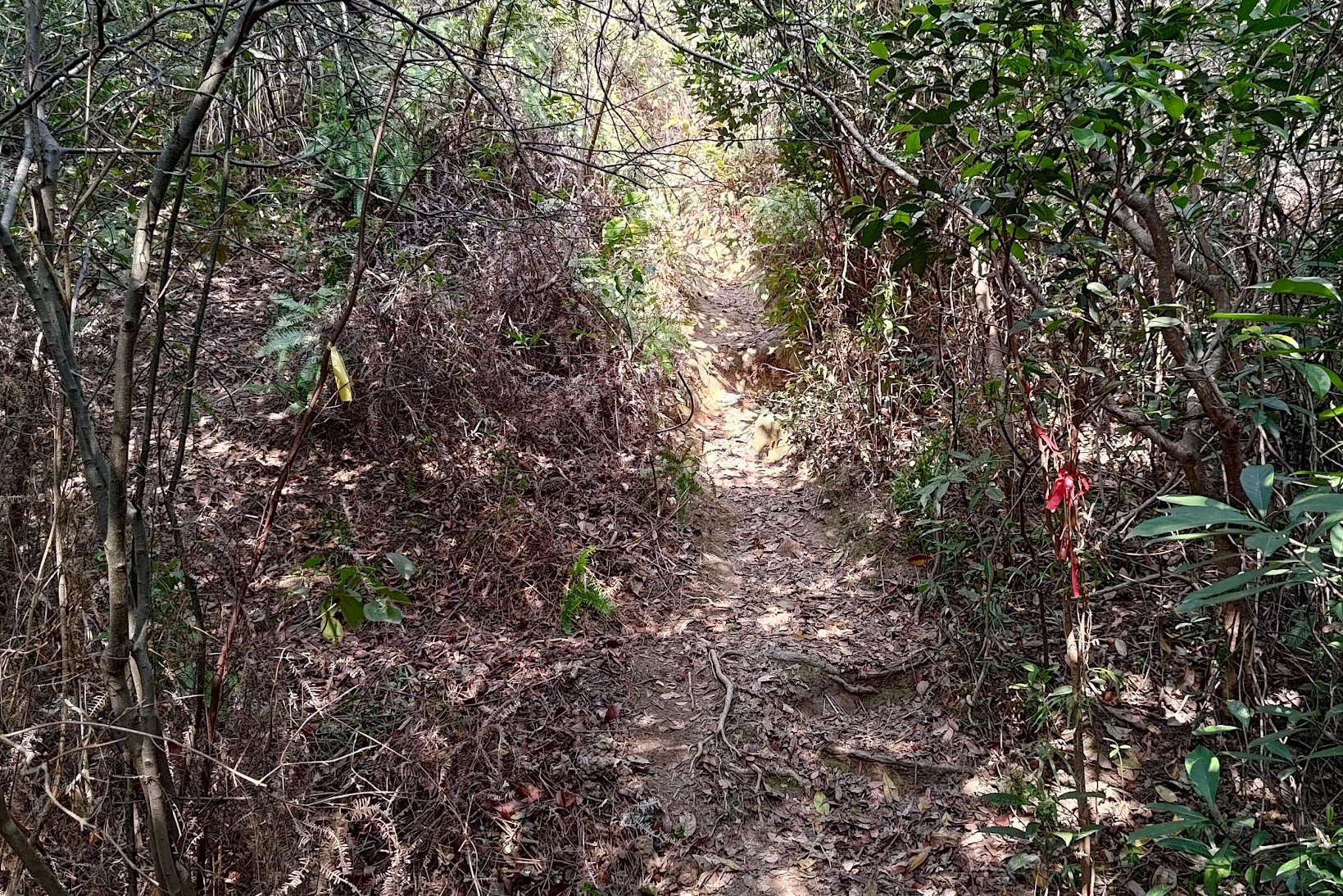
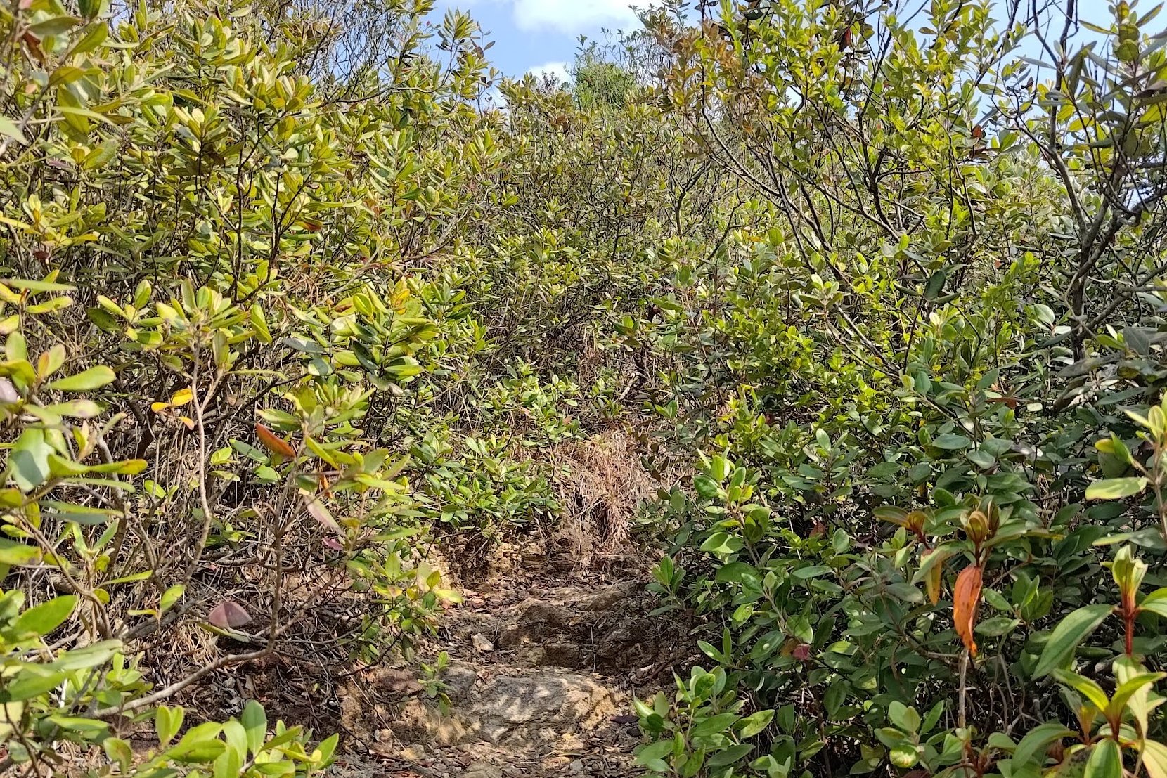
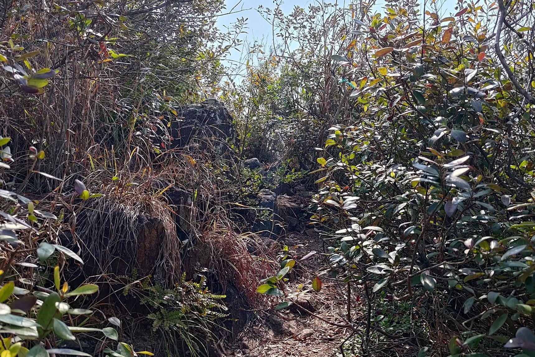
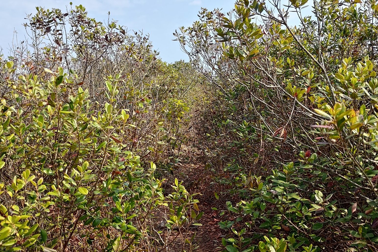
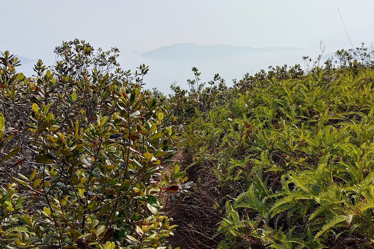
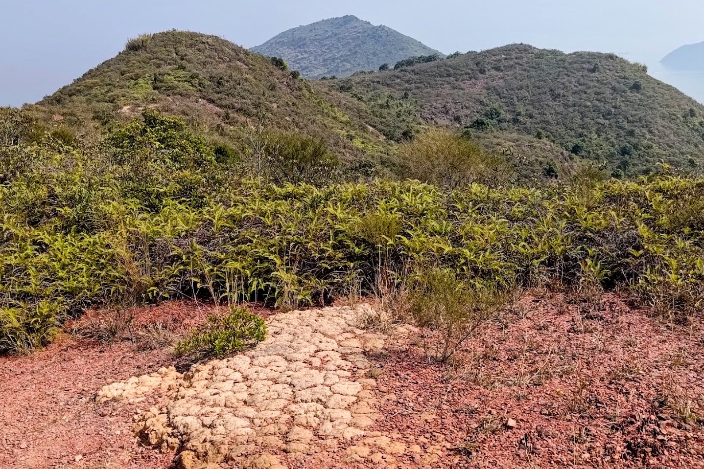

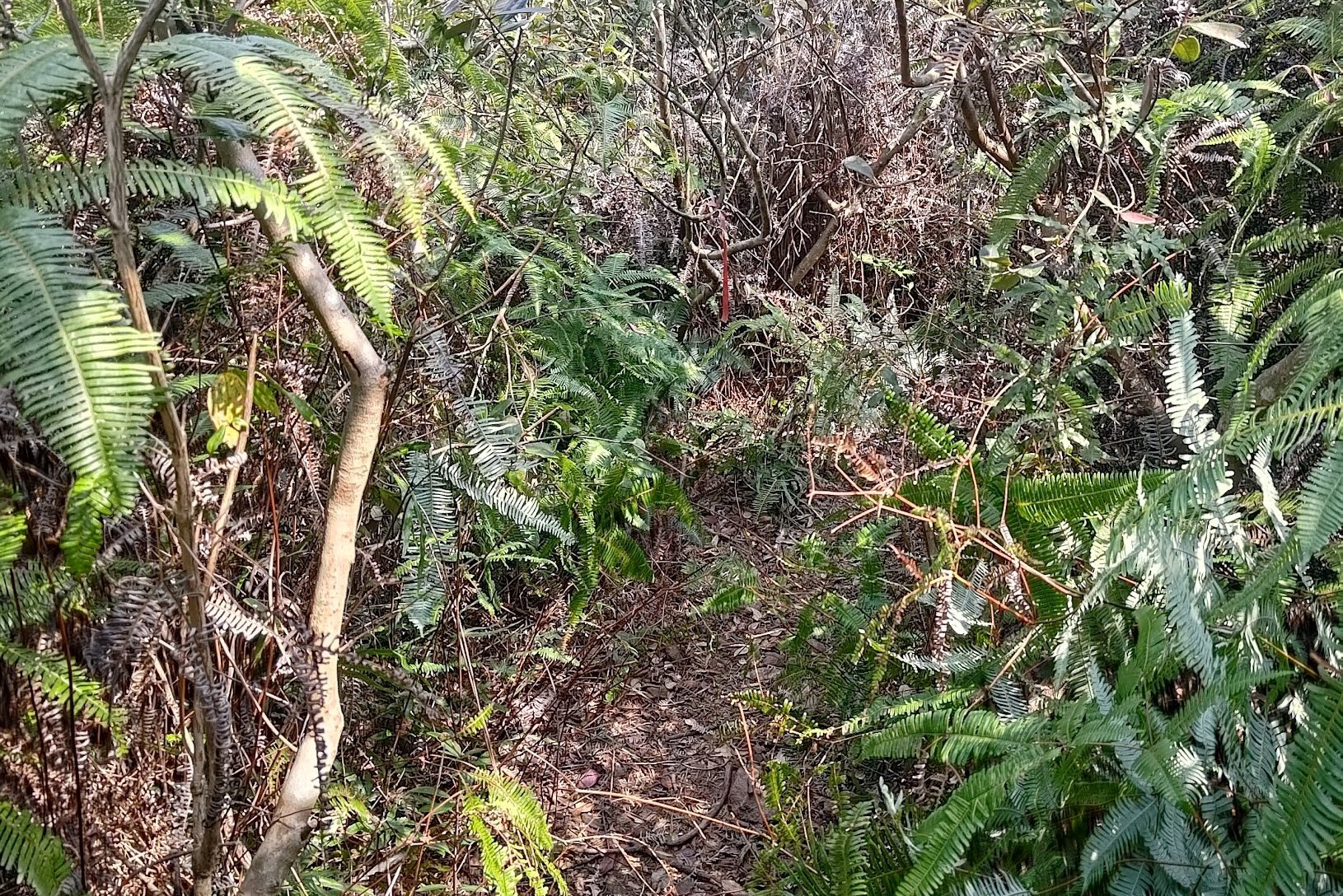
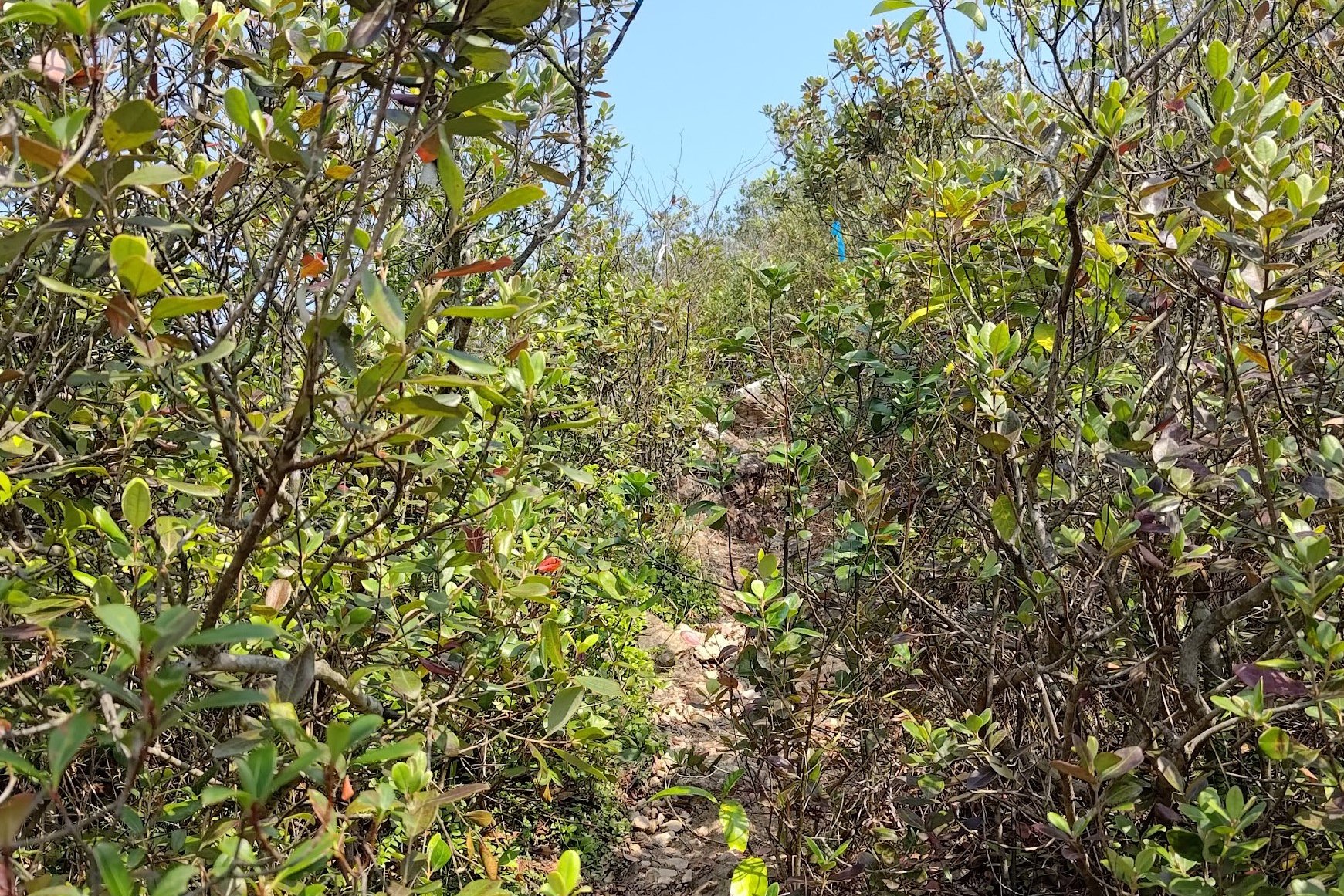
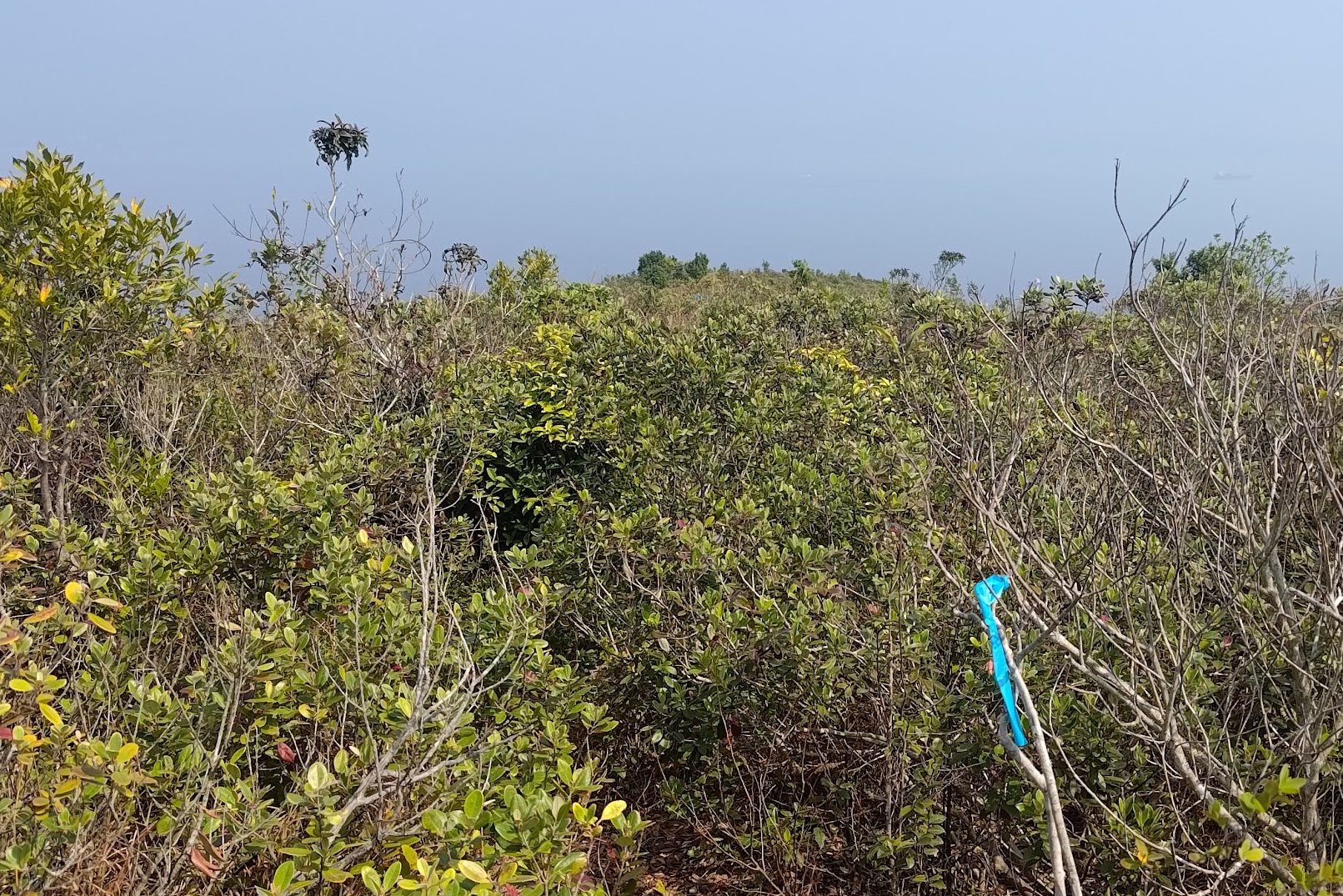
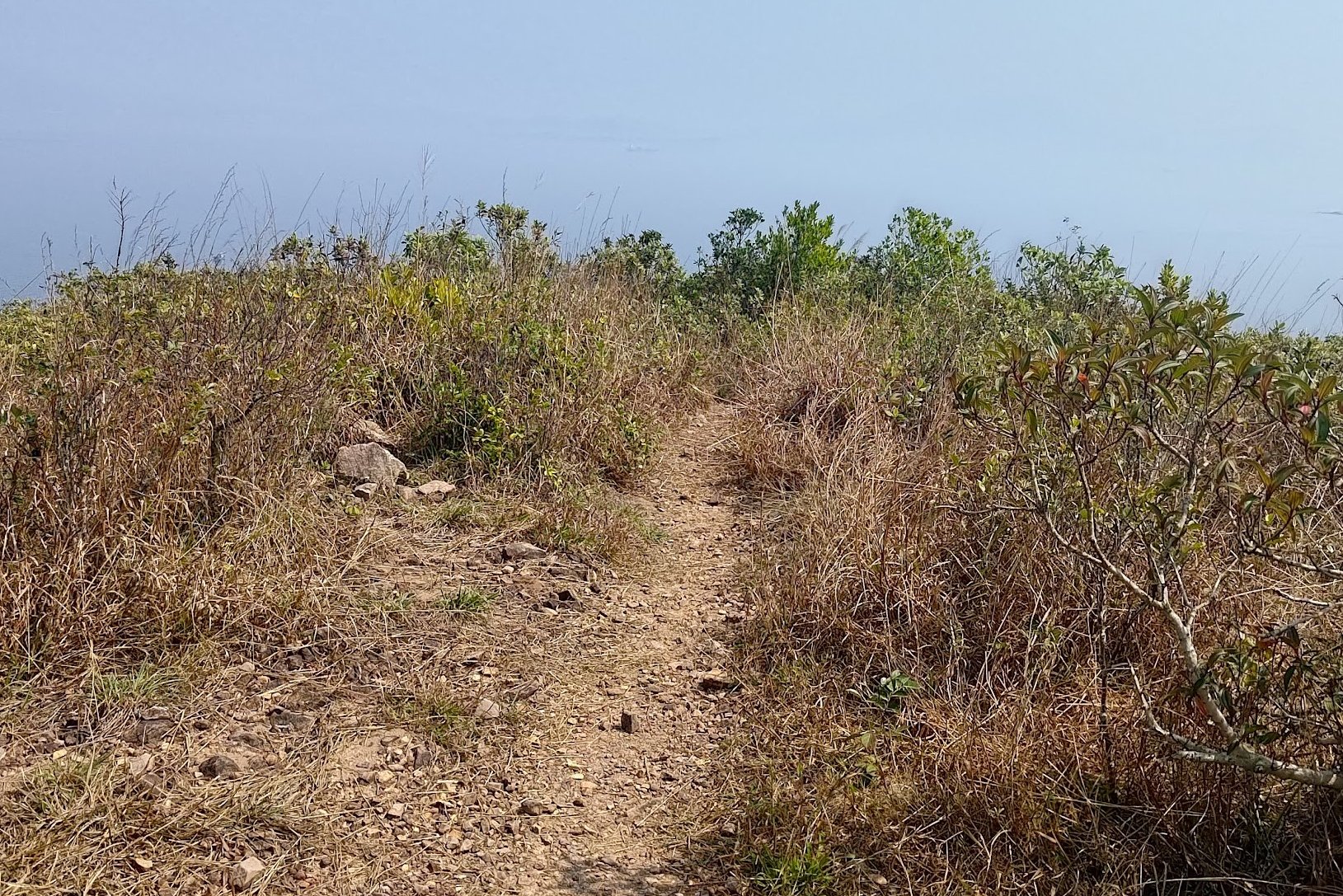
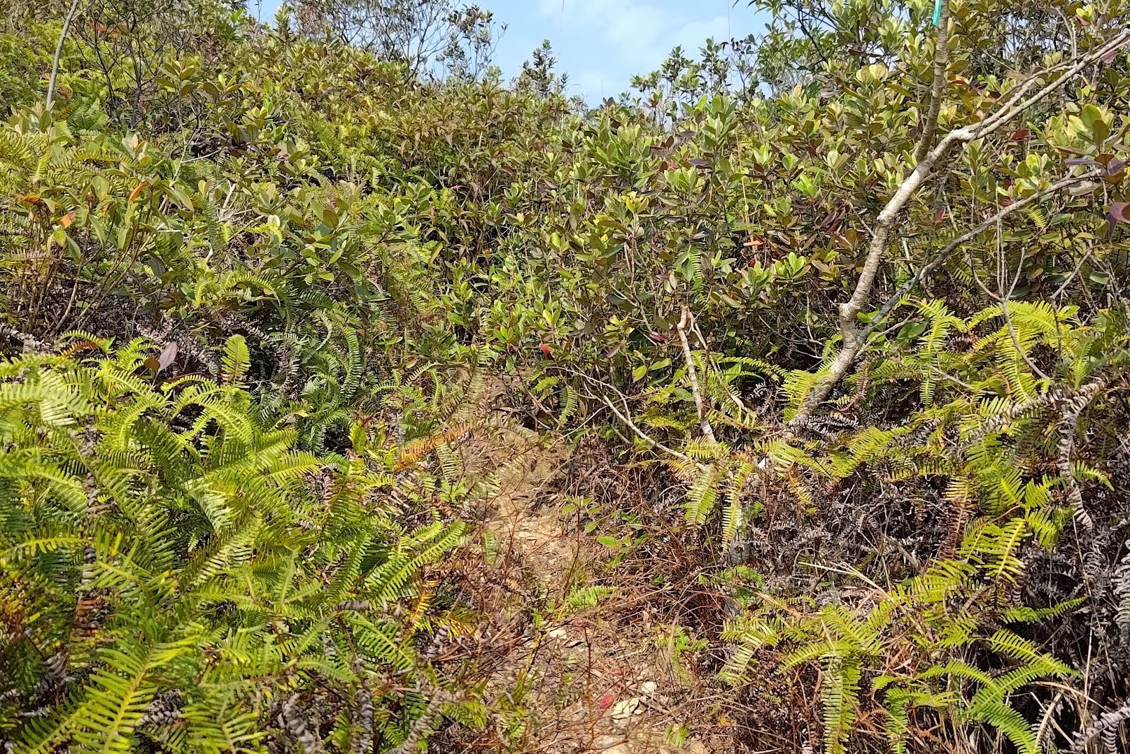
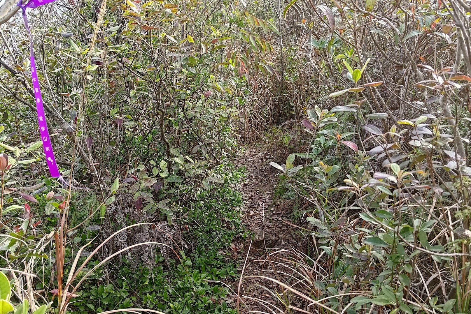
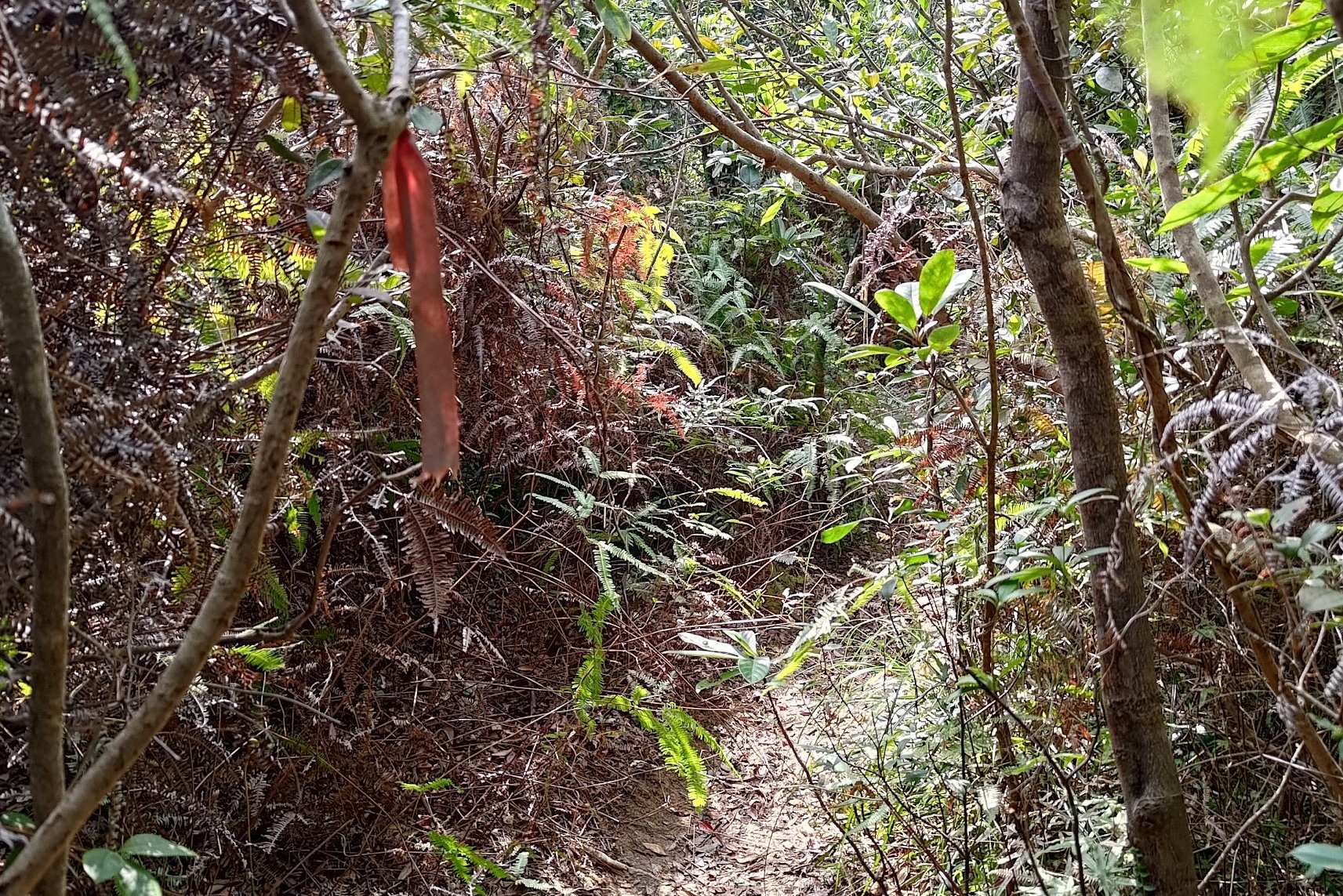
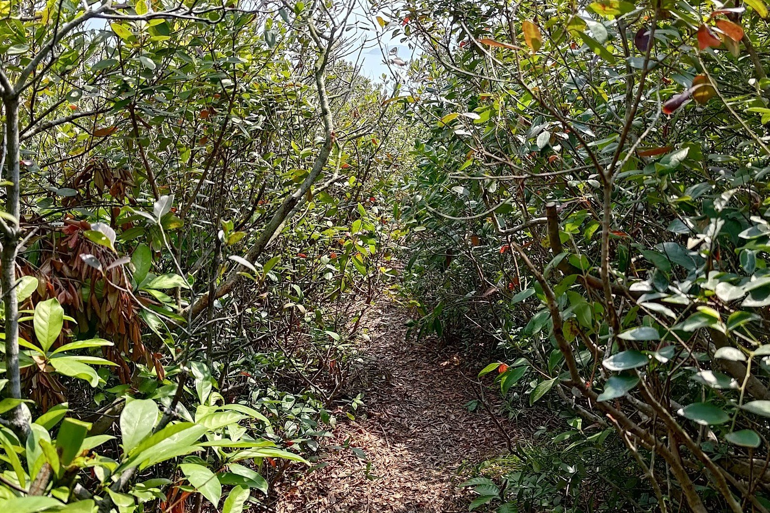
This section of the hike is one of the toughest and takes about 2 hours to complete. You'll basically be ascending and descending the entire way and following ribbons to avoid getting lost.
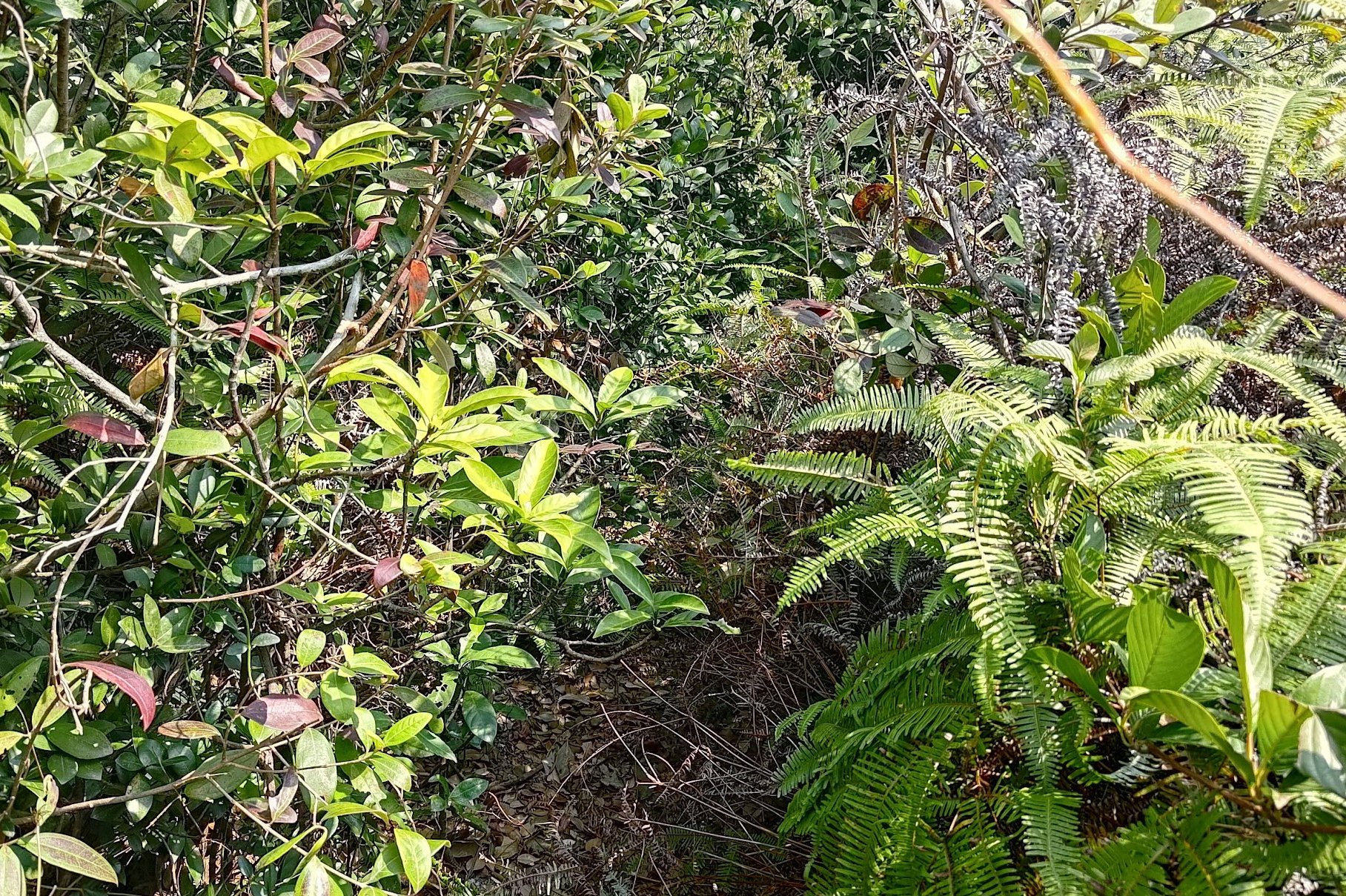
The shrubbery here is very sharp and scratchy, meaning if you've work shorts (like I did), you're going to be in for a bad time.
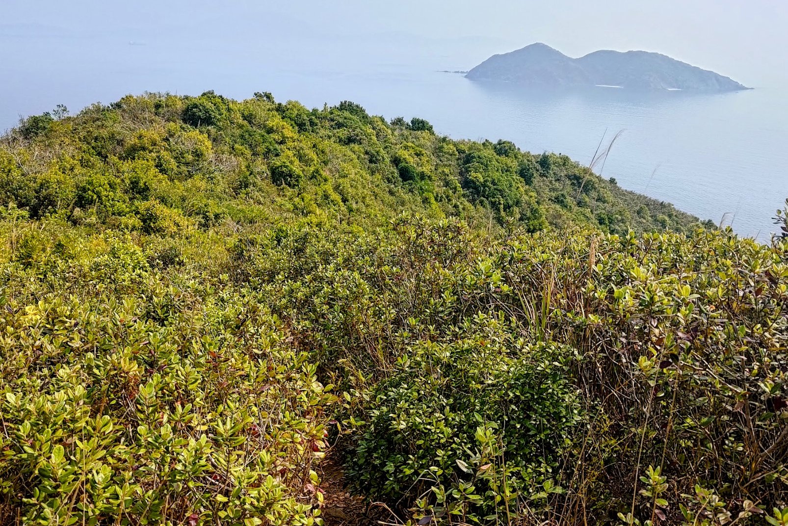
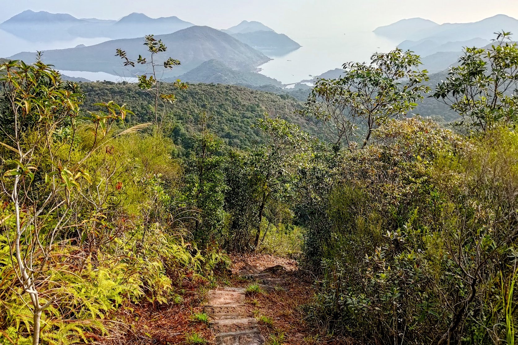
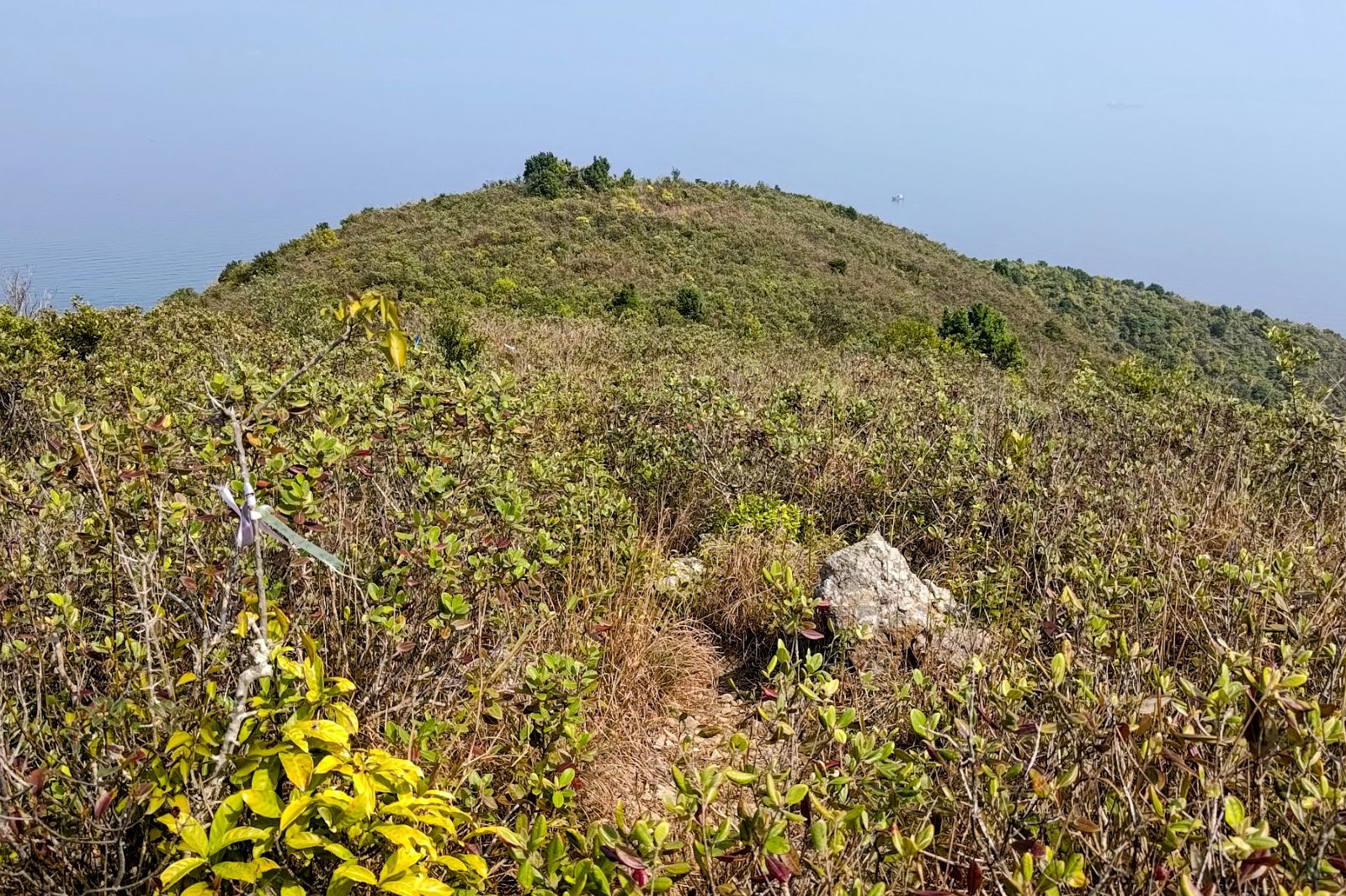
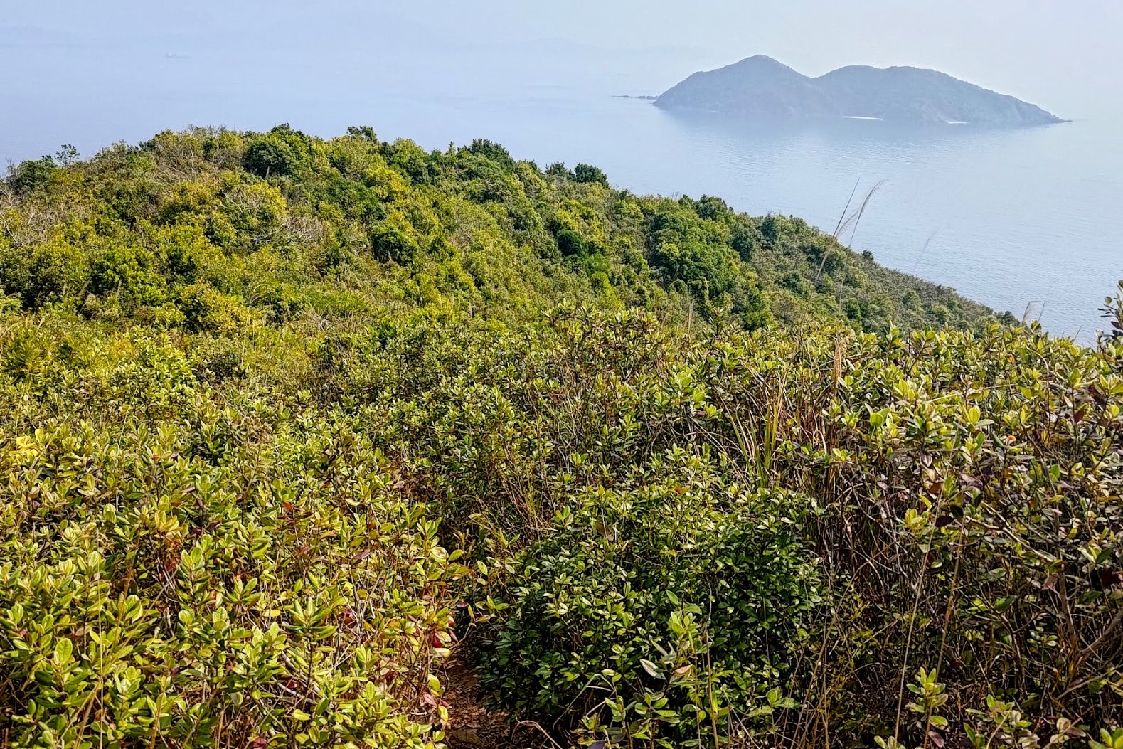
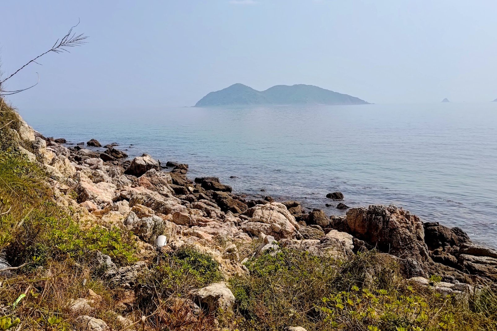
Along the way, you'll have great views of Double Island, Crescent Island and Crooked Island.
You'll basically just keep following the trail all the way to the Wong Chuk Kok observation post and then you'll finally be ready to begin your final descent to Devil's Fist.
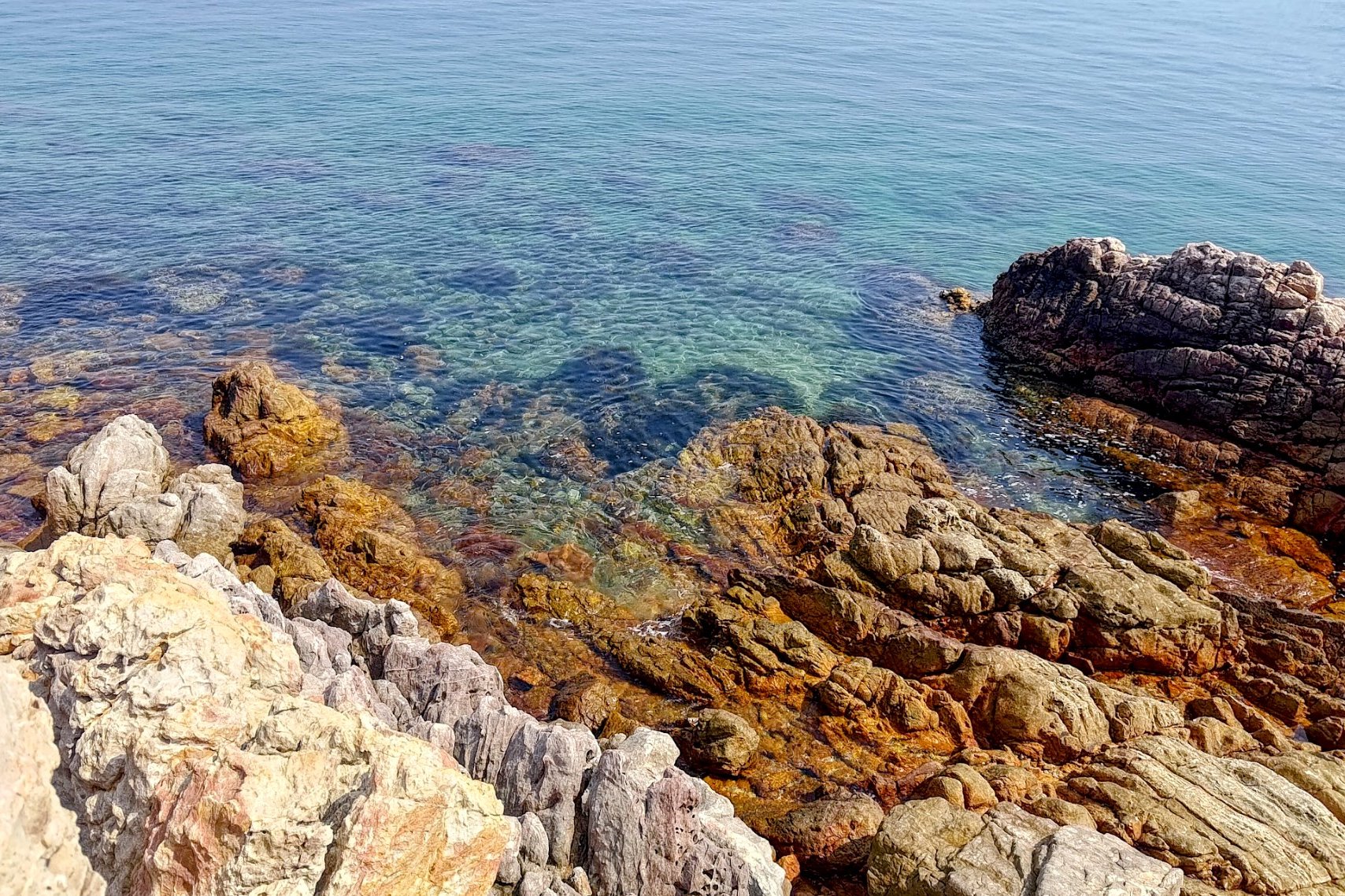
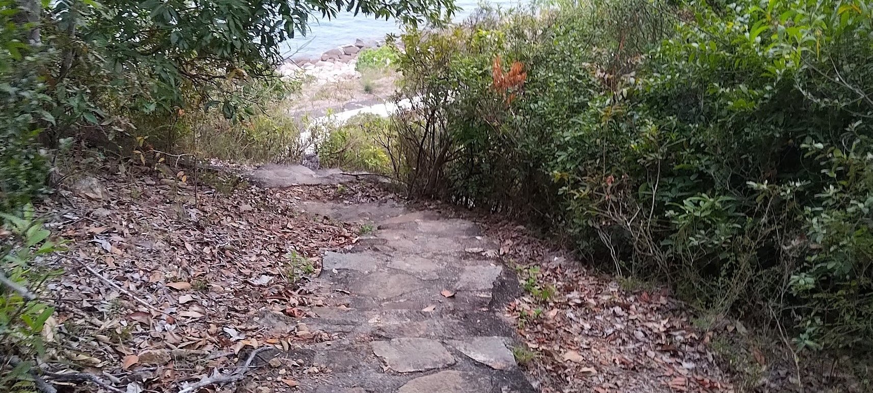
Coastal Push to the Devil's Fist
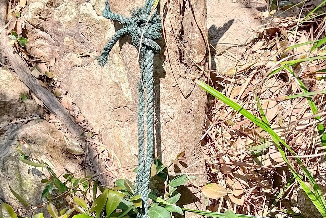
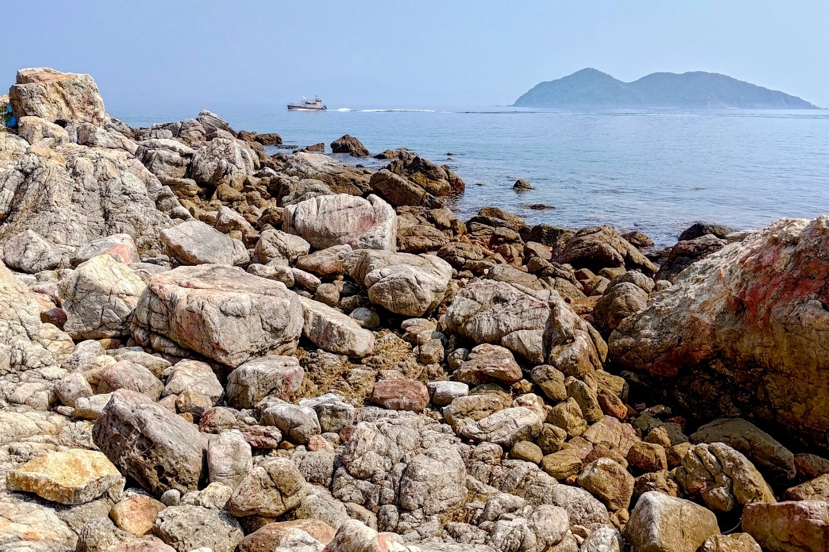
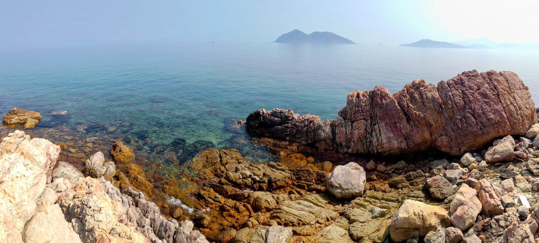
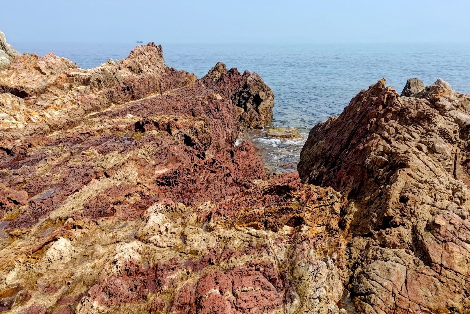
This section took about 30 minutes. I took it real slow on the downhill section because it was really steep and slippery. I opted not to trust the ropes that were installed part way down since they looked old and frayed.
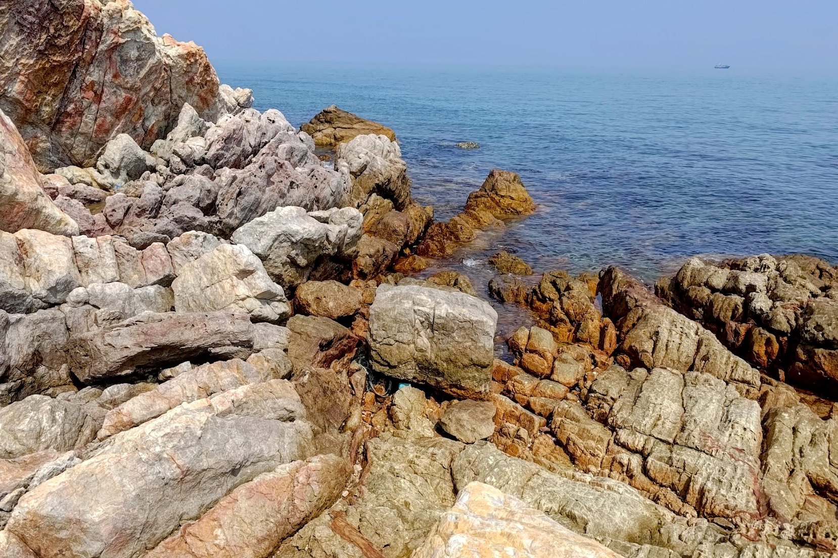
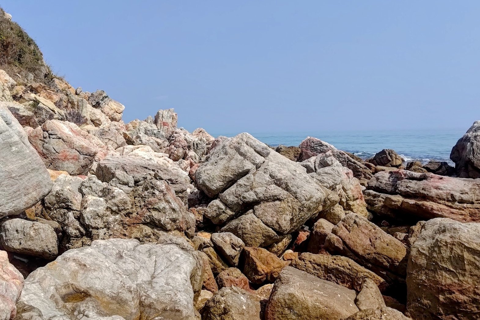
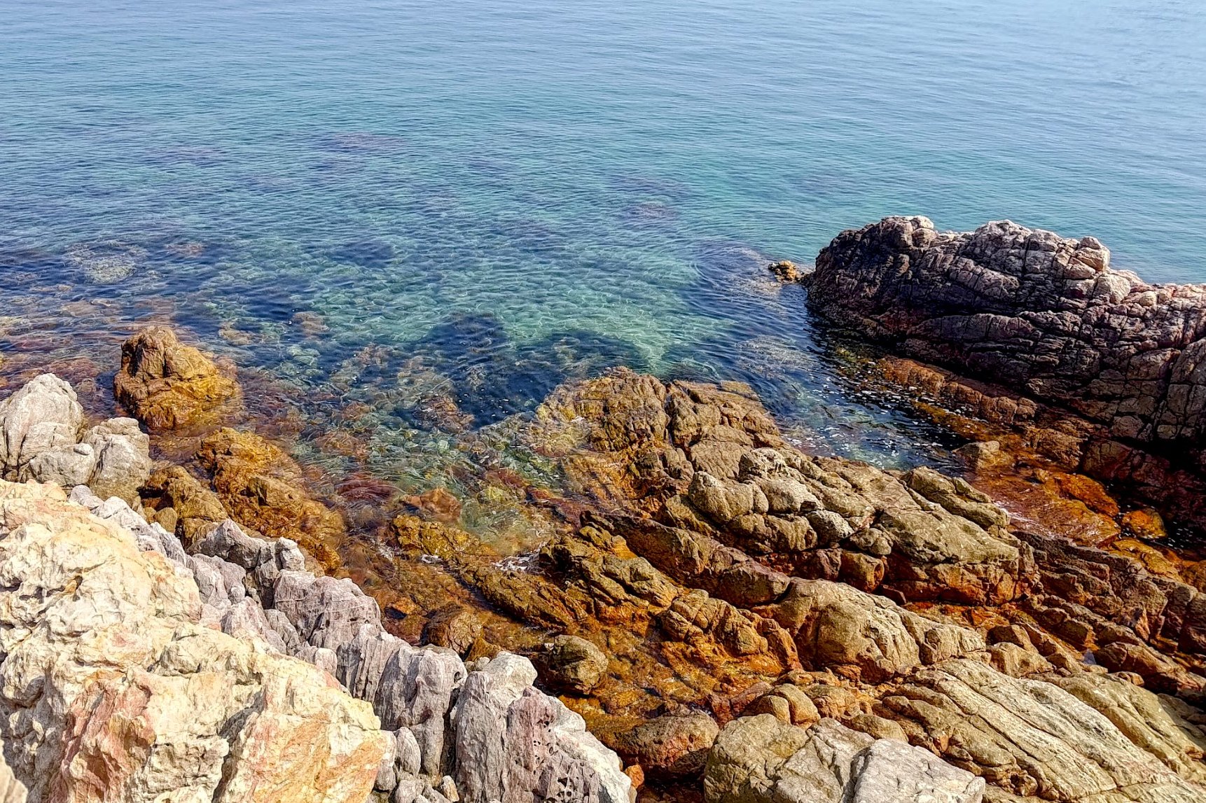
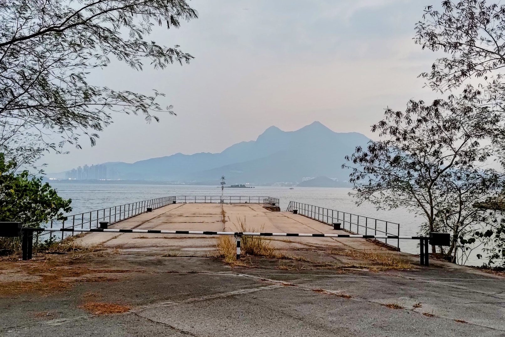
Once on the coast, head left and you'll reach the Devil's Fist in about 10-15 mins. You will have to navigate your way over a lot of coastal rocks so be really careful!
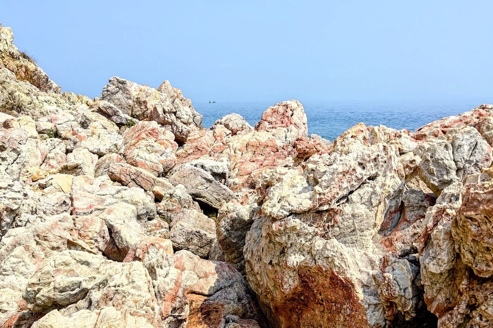
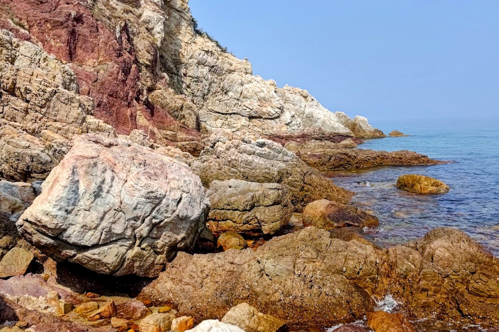
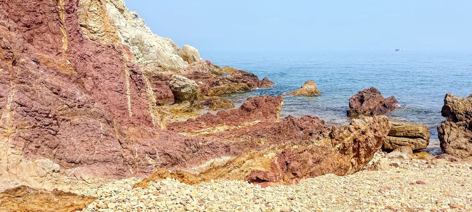
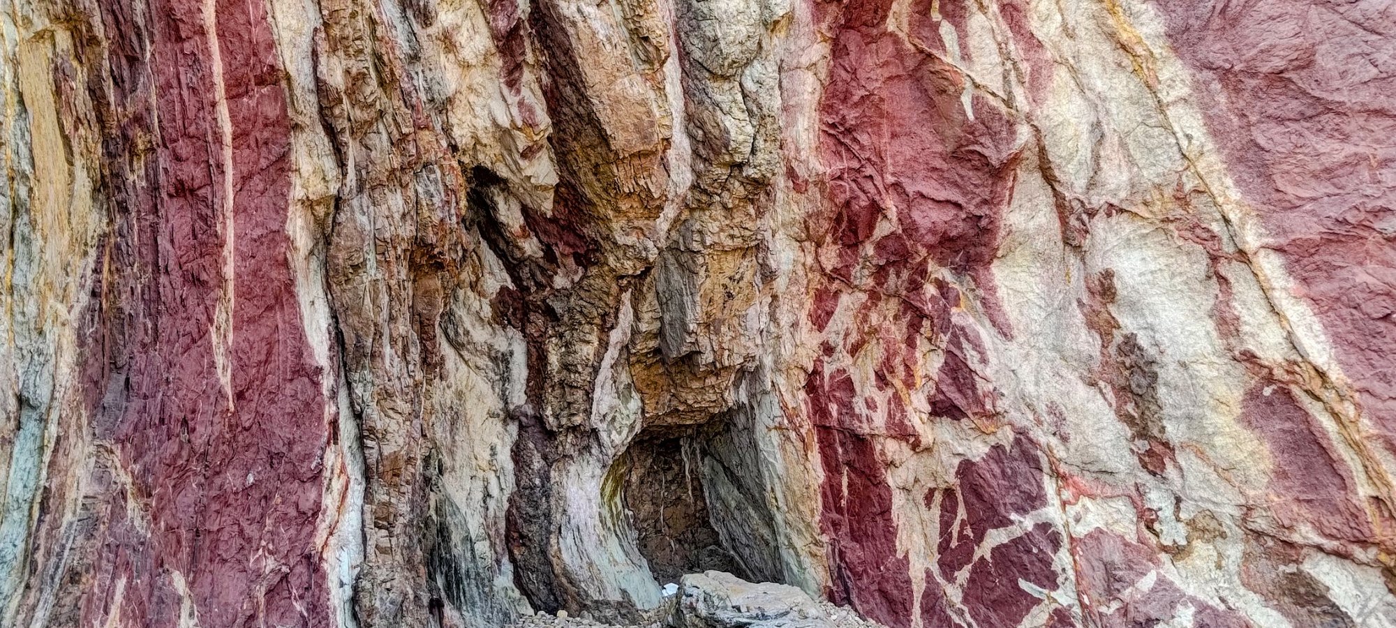
You will know you're near the Devil's Fist when you see a distinctive brick-red section of cliff wall.
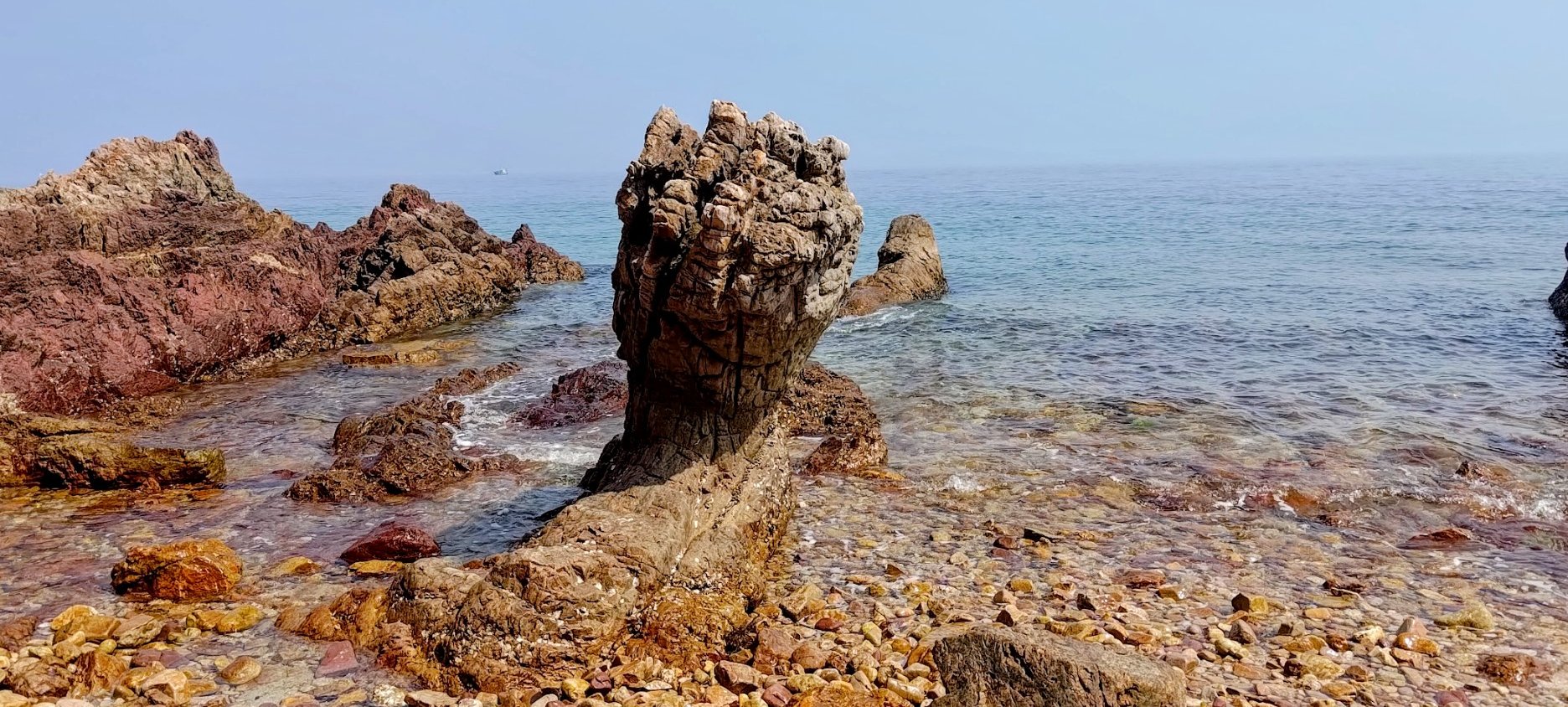
Devil's Fist Views
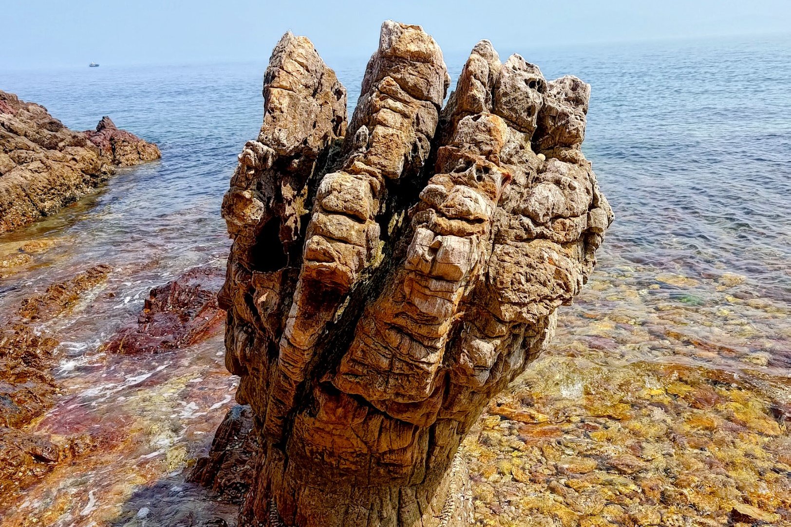
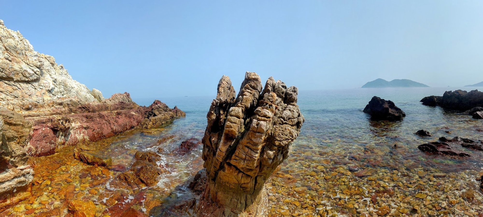
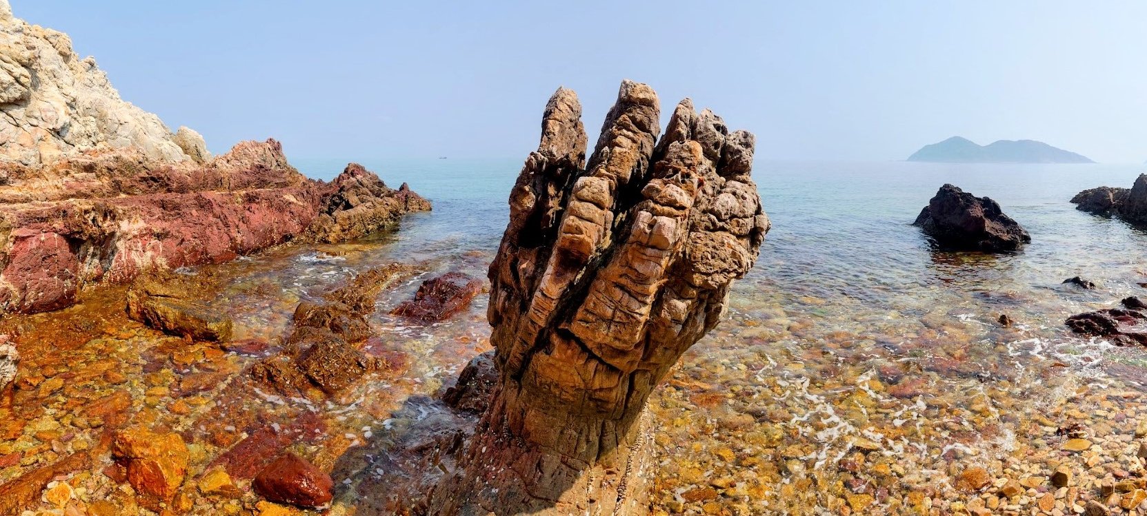
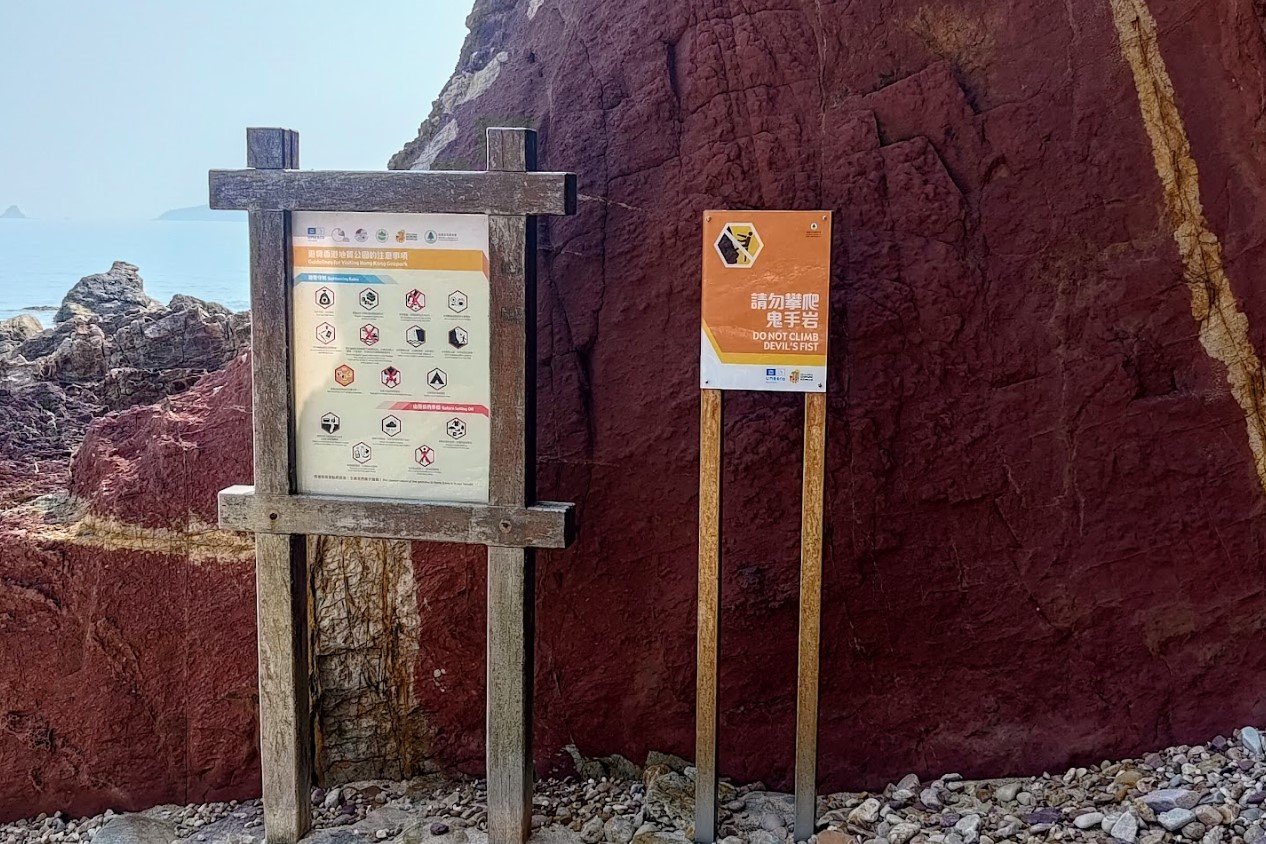
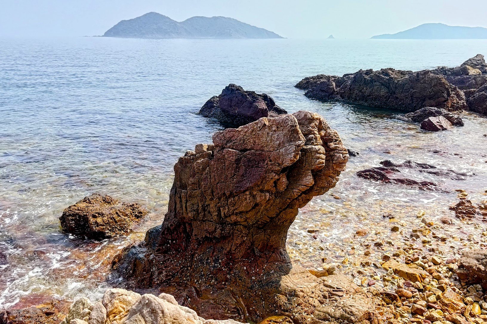

The Devil's Fist rock is only about 2-meters tall. It's also reachable safely by boat, as I mentioned previously in the blog.
It is a really interesting historical site since the rock is 400 million years of age. That's 200 million years older than the earliest dinosaurs!
Once you're done exploring and debating if the walls behind the Devil's Fist really do look like bacon or if I was just losing my mind by this point, you should head back across the rocks so you can make the trek back.
Return Back to Fung Wong Tau
What can I say? This was arguably the worst part of the hike. It's a minimum of 2 hours back the way you came. It may take longer because you'll be pretty tired by this point.
Once you reach the Fung Wong Tau crossroads, take the Tai Mei Tuk path, which is marked by prayer flags.
Connecting Back to the Plover Cove Reservoir Country Trail
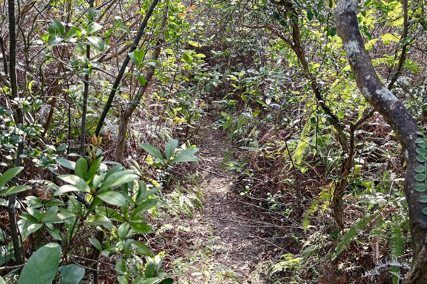
This section of the hike was truly demoralizing. I was absolutely wrecked by this point and having even more treacherous terrain to navigate nearly sucked my soul out like a Harry Potter dementor.
Be really careful on the narrow paths, they are often unstable and may crumble out from under you.
About 30 minutes later, you'll connect with the Plover Cove Reservoir Trail. Make sure to go left when you reach the trail.
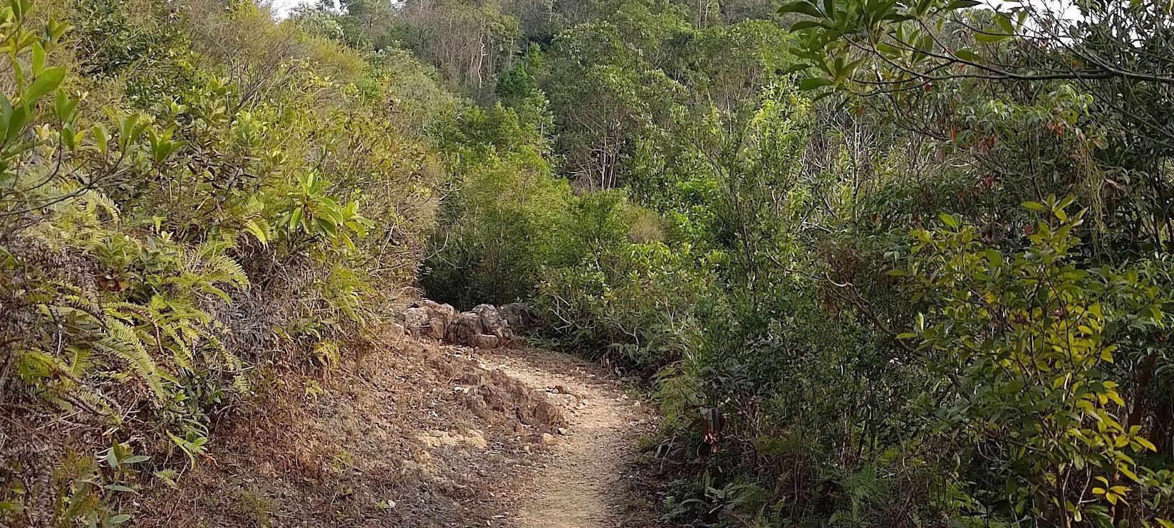
Plover Cove Reservoir Country Trail


It takes anywhere from 1.5 - 2 hours for this section. It'll really depend on how tired you are.
There aren't many views during this part of the hike and while the initial bit of the Plover Cove Reservoir Country Trail is quite flat, you'll soon be undulating a lot.
Beware of clouds of flies that hover around your face and incessantly follow you as well. That made the final hour of this section hellish for me.
Plover Cove Sub and Main Dam to Tai Mei Tuk
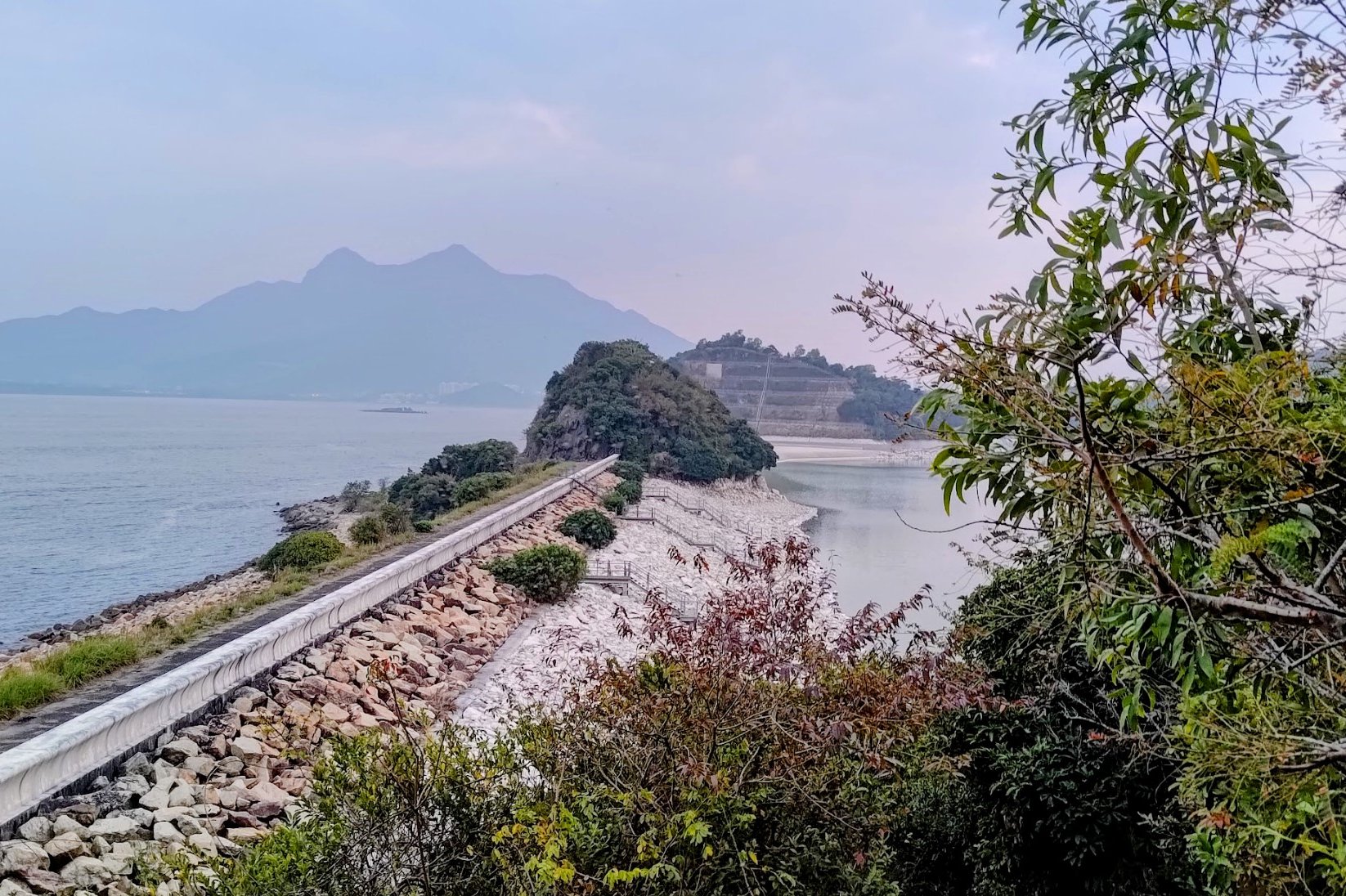


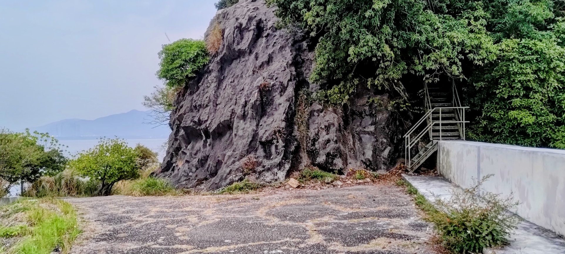
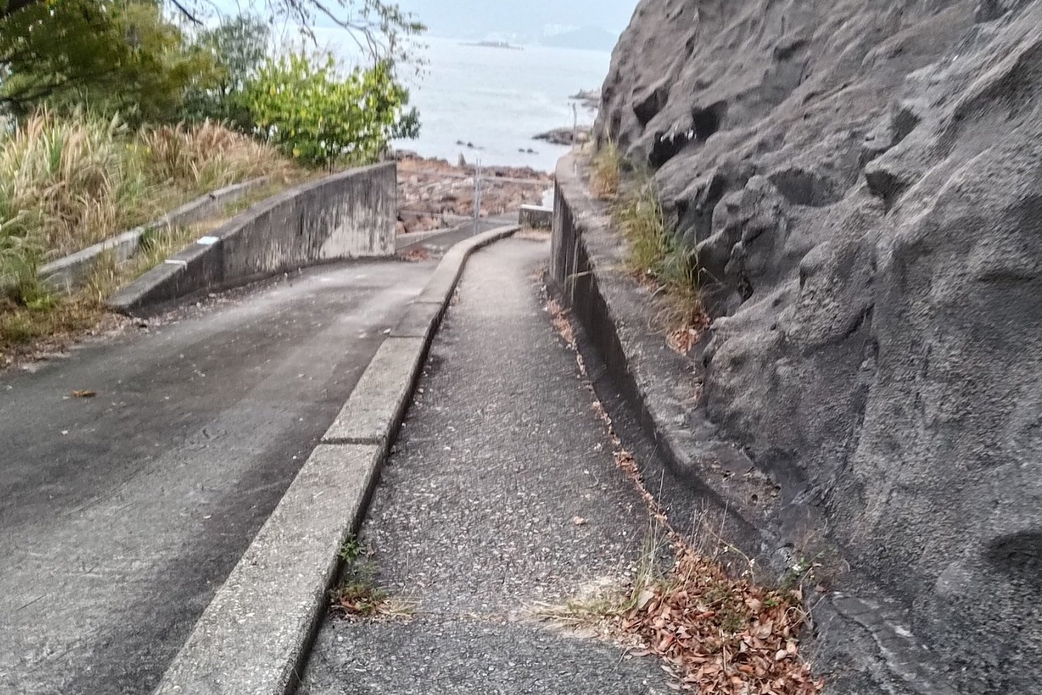
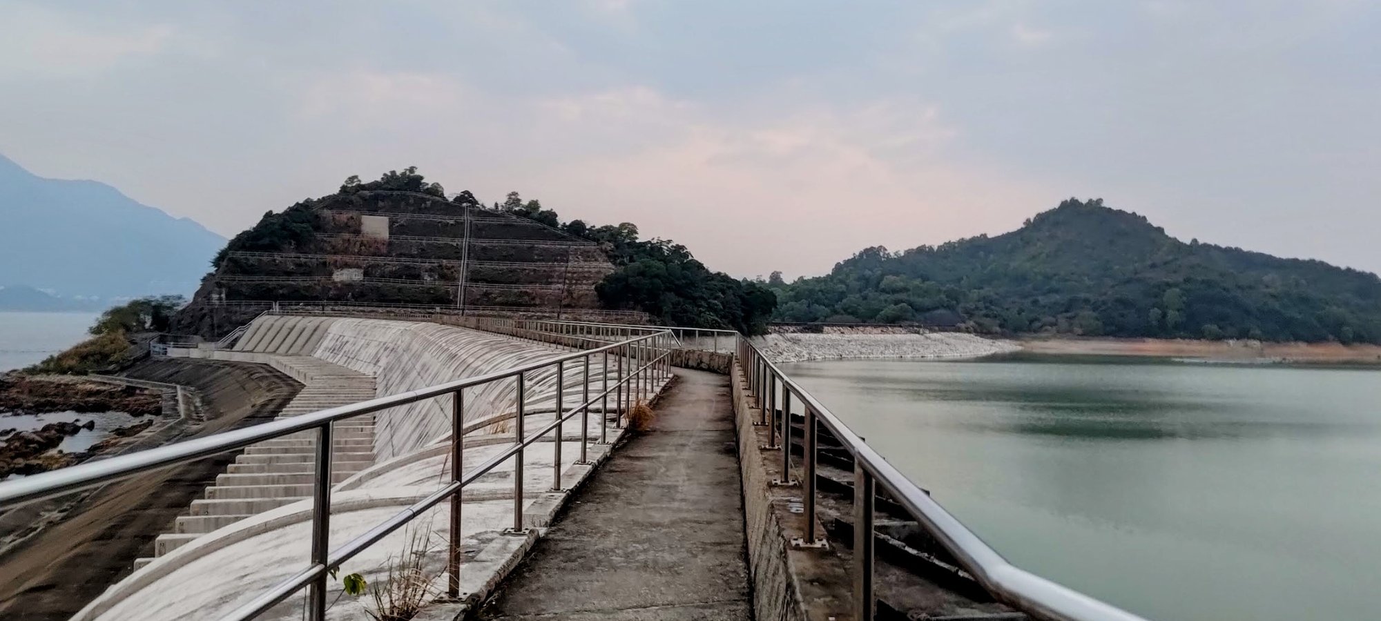
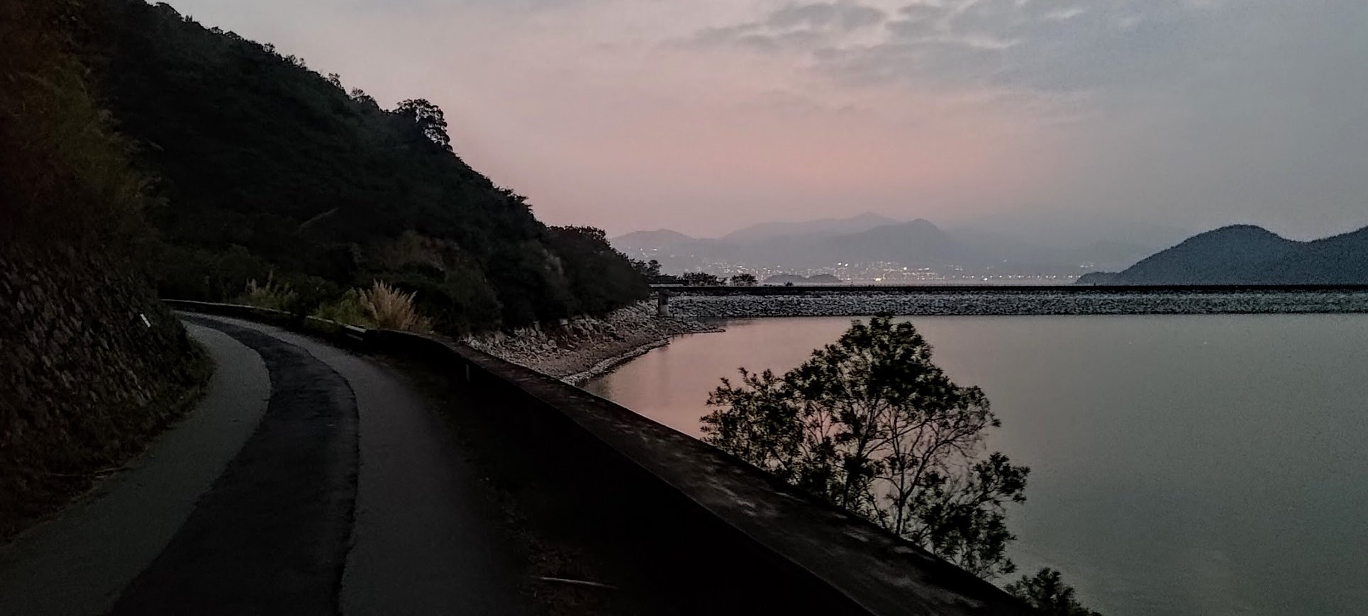
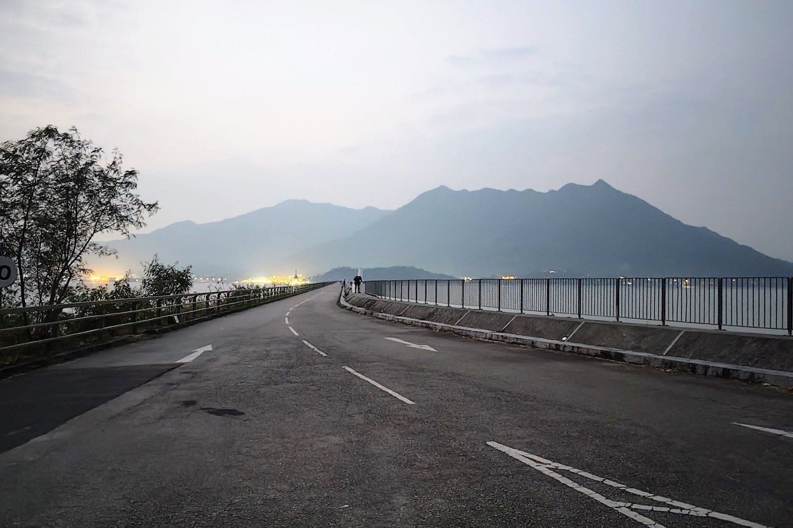


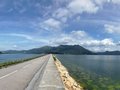


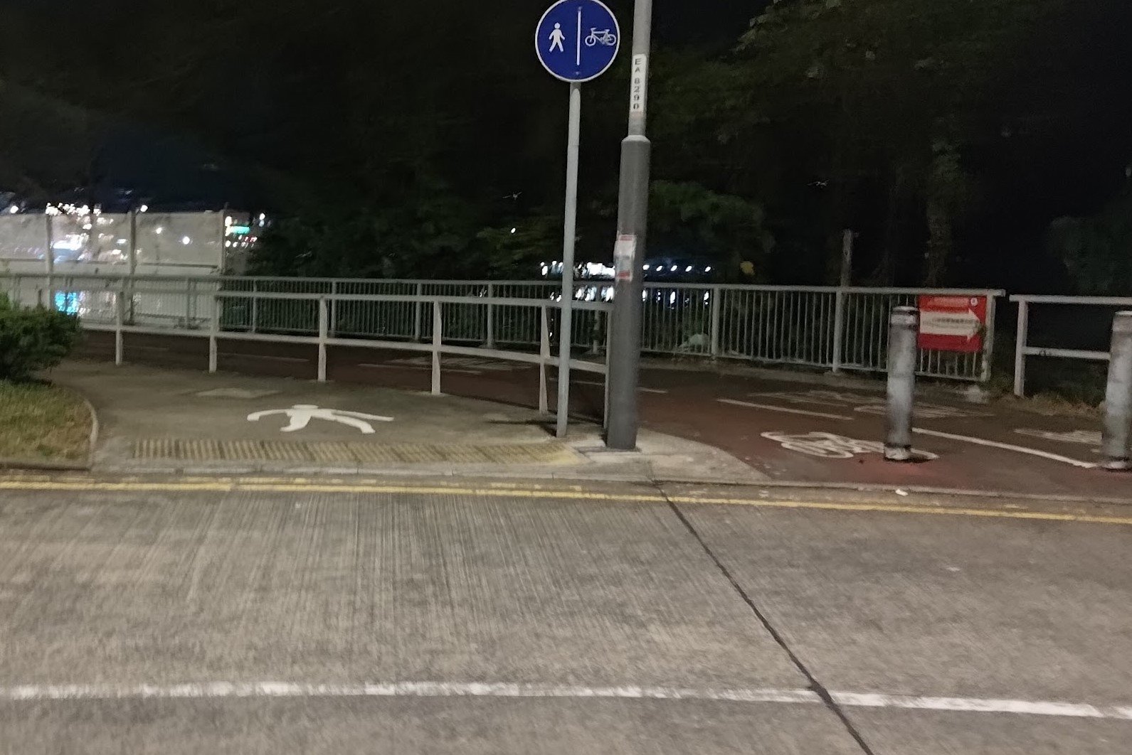

This final portion of the hike takes around an hour. You'll be covering only flat distance, which is actually a huge relief after all the uphills and downhills of the hike.
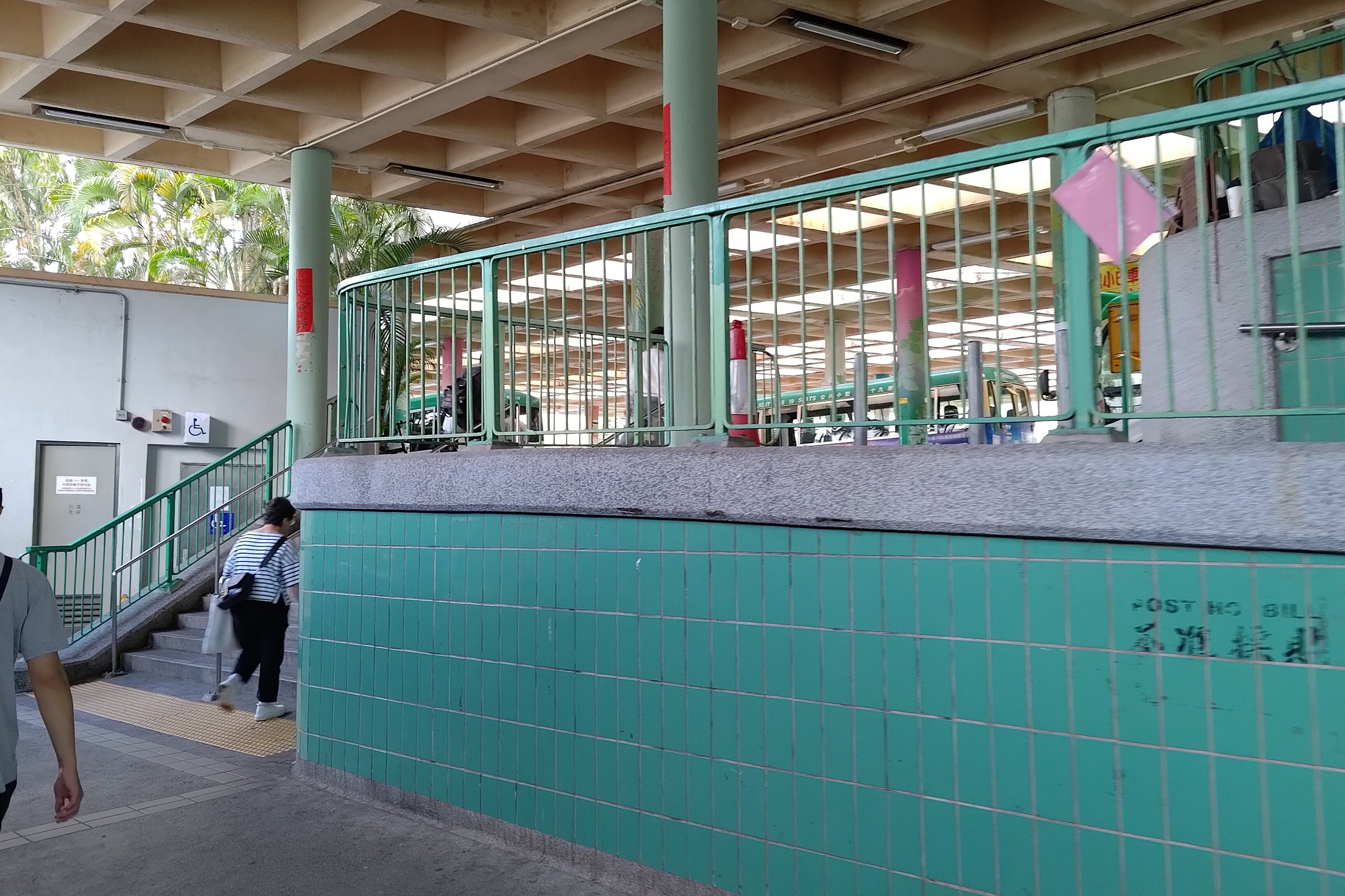
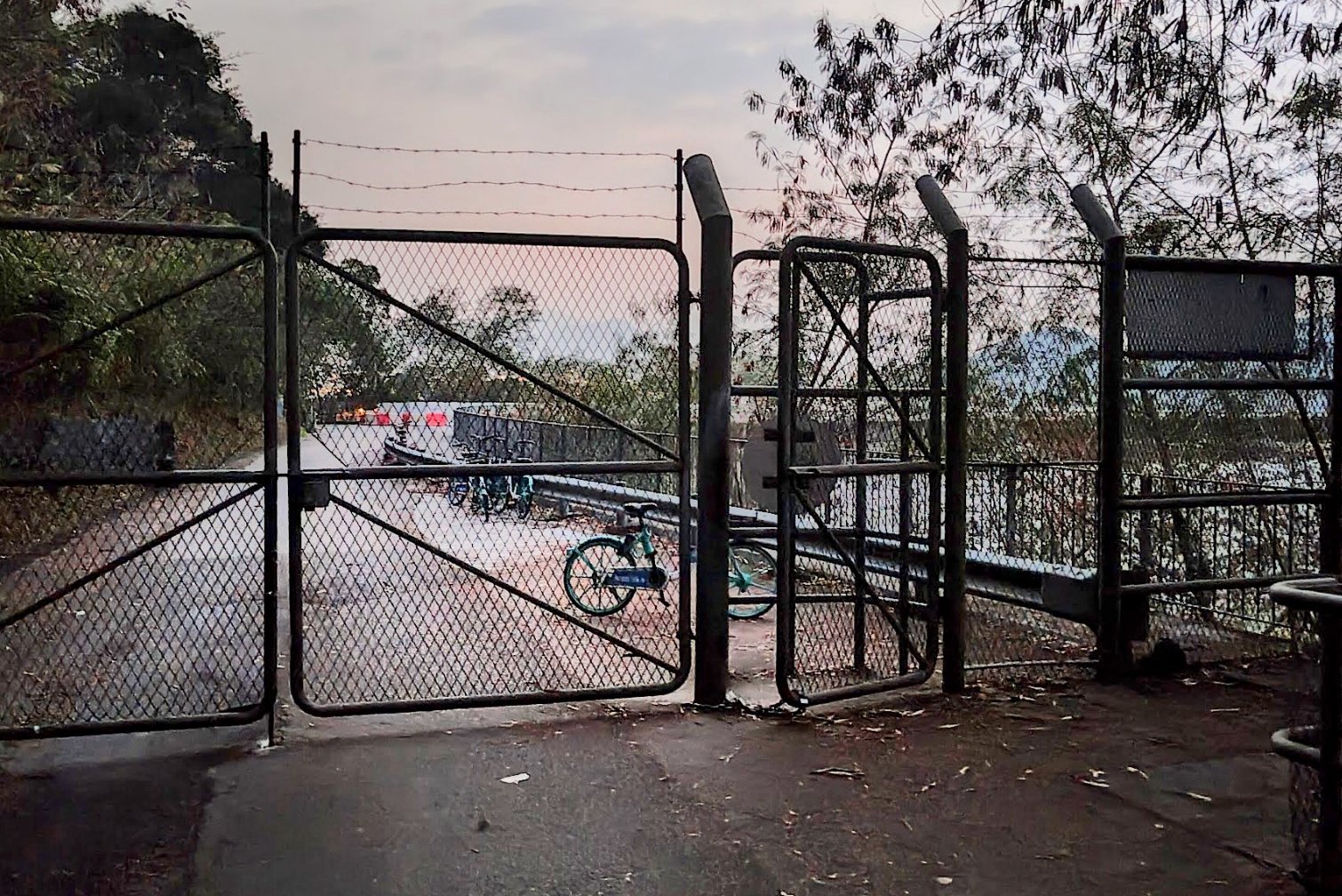
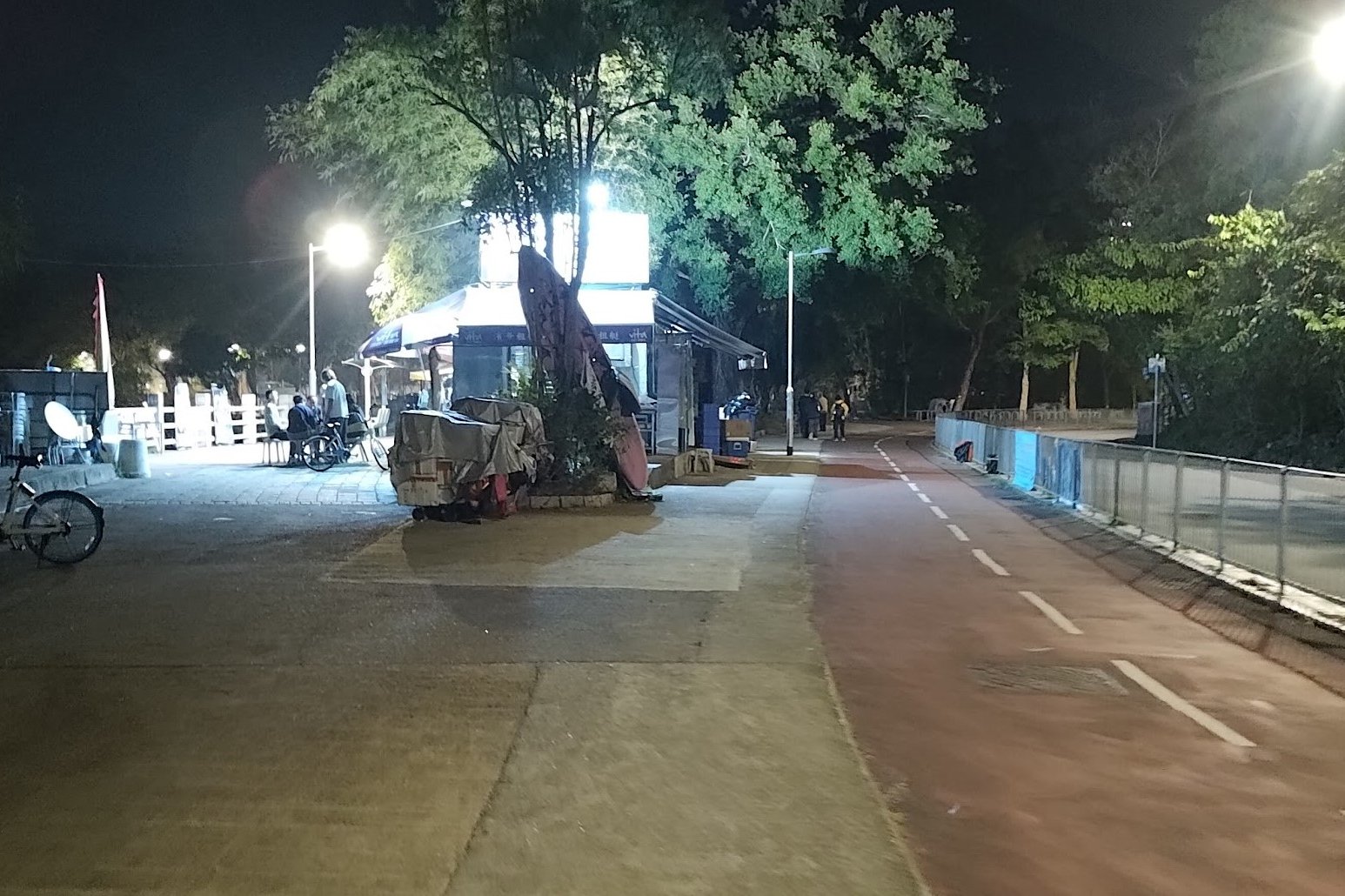
After crossing the sub dam, you'll have a long journey across the main dam before you walk along Tai Mei Tuk Road to the bus terminus.
There are a lot of restaurants and shops here to eat and replenish your supplies.
Getting Back
From the bus termins, take any of the following buses to Tai Po Market MTR Station:
There will be other buses at the bus stop, but these are the main ones. Pick whichever bus is available as you need it.

