
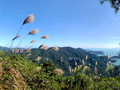
City of Victoria Boundary Stones Hike: Walk the Border of Hong Kong's First Colonial City
Contents
- Essential Information
- Hike Highlights
- The History of the City of Victoria
- Google Route Map and GPX
- How to Get There
- Quick Route Summary
- Boundary Stone 1 - Kennedy Town
- Boundary Stone 2 - Mount Davis
- Boundary Stone 3 - Pok Fu Lam Road
- Boundary Stone 4 Near Hatton Road
- Boundary Stone 5 - Hatton Road
- Boundary Stone 6 - Old Peak Road
- Destroyed Boundary Stone - Magazine Gap Road
- Boundary Stone 7 - Near Mount Nicholson
- Boundary Stone 8 - Bowen Road
- Boundary Stone 9 - Happy Valley Racecourse
- Getting to Causeway Bay MTR Station
Essential City of Victoria Boundary Stone Hike Details
- District: Hong Kong Island
- Duration: 5 and a half hours
- Distance: 21.5km
- Highest Elevation: 300 meters
- Difficulty: 3.5/5
- Facilities: Toilets and drinks machines at a few points throughout the trail
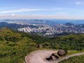
Why Do the City of Victoria Boundary Stone Hike?
This hike offers a rare opportunity to trace the historic boundary of the City of Victoria, Hong Kong’s first urban settlement, which was first defined in 1843. Starting at the first boundary stone in Kennedy Town and ending with the ninth boundary stone in Happy Valley, the route follows a mix of steep climbs and mostly paved roads.
For those seeking a deeper challenge, three recently rediscovered boundary stones (found in 2021) lie off the main path, hidden within dense vegetation. Reaching them requires off-trail navigation and bushwhacking—an undertaking best suited for experienced hikers. If you prefer a more accessible route, the clearly marked stones along the main trail still provide a vivid sense of the City of Victoria’s historic extent.
Regardless of how you approach this journey, you’ll gain a unique perspective on a nearly forgotten chapter of Hong Kong’s history. Few have even heard of the City of Victoria’s original boundaries, and even fewer have followed them on foot.
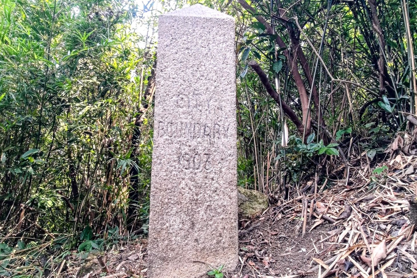
*One boundary stone went missing in 2007 during slope renovation, so there were once ten stones, where today there are only nine.
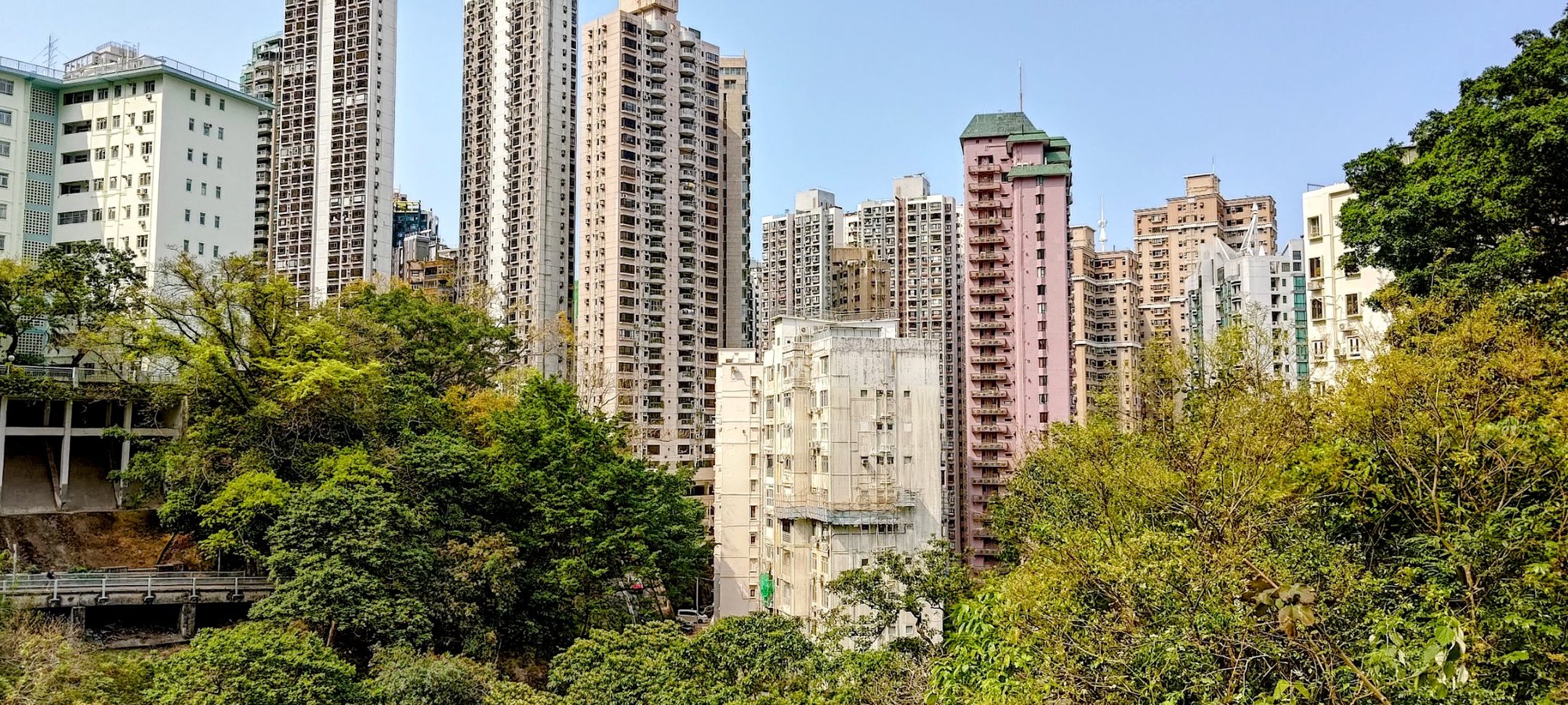
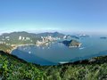
The History of the City of Victoria
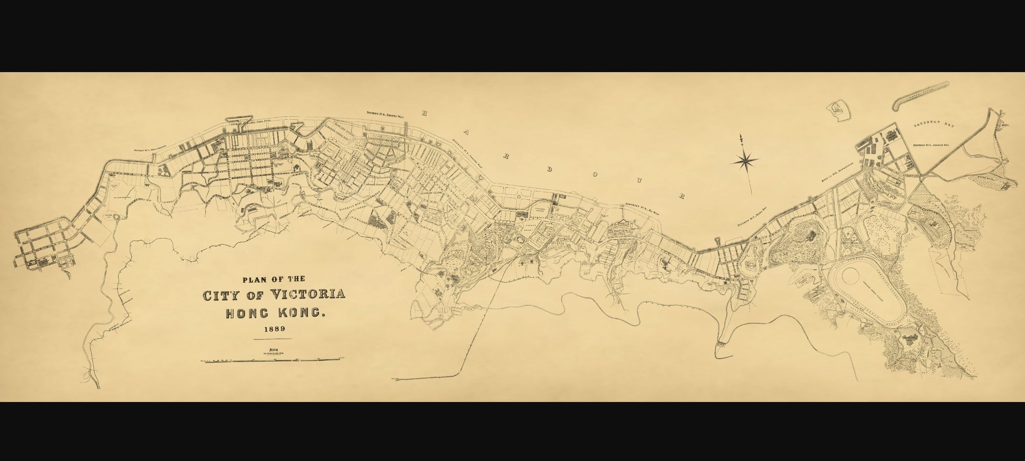
Detailed Version of the above map
The City of Victoria, located on the north shore of Hong Kong Island, was established during the early colonial period of Hong Kong's history. It was initially known as the "Queen's City" and underwent administrative changes leading to what was then known as the City of Victoria.
City of Victoria Key Information and Dates:
- First Land Auction: On June 14, 1841, the Hong Kong colonial government auctioned 34 lots of land, marking the beginning of land sales in the area.
- Official Naming: On June 29, 1843, the city was officially named "Victoria City" or the "City of Victoria".
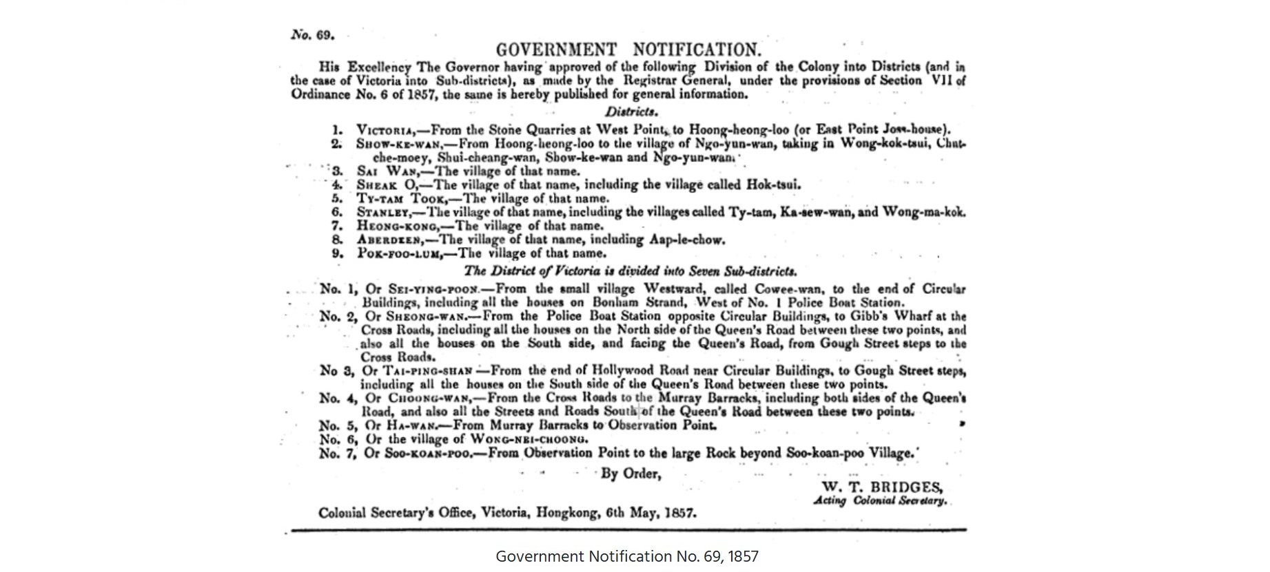
- District Division: By May 9, 1857, the Hong Kong government divided the city into nine districts and further into seven sub-districts.
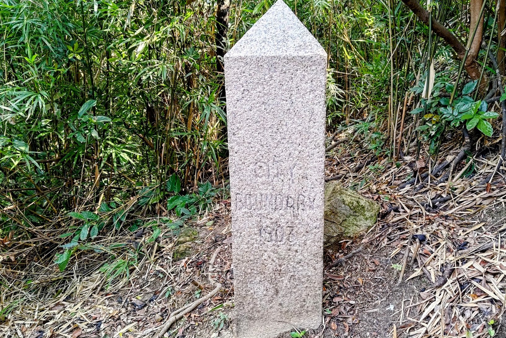
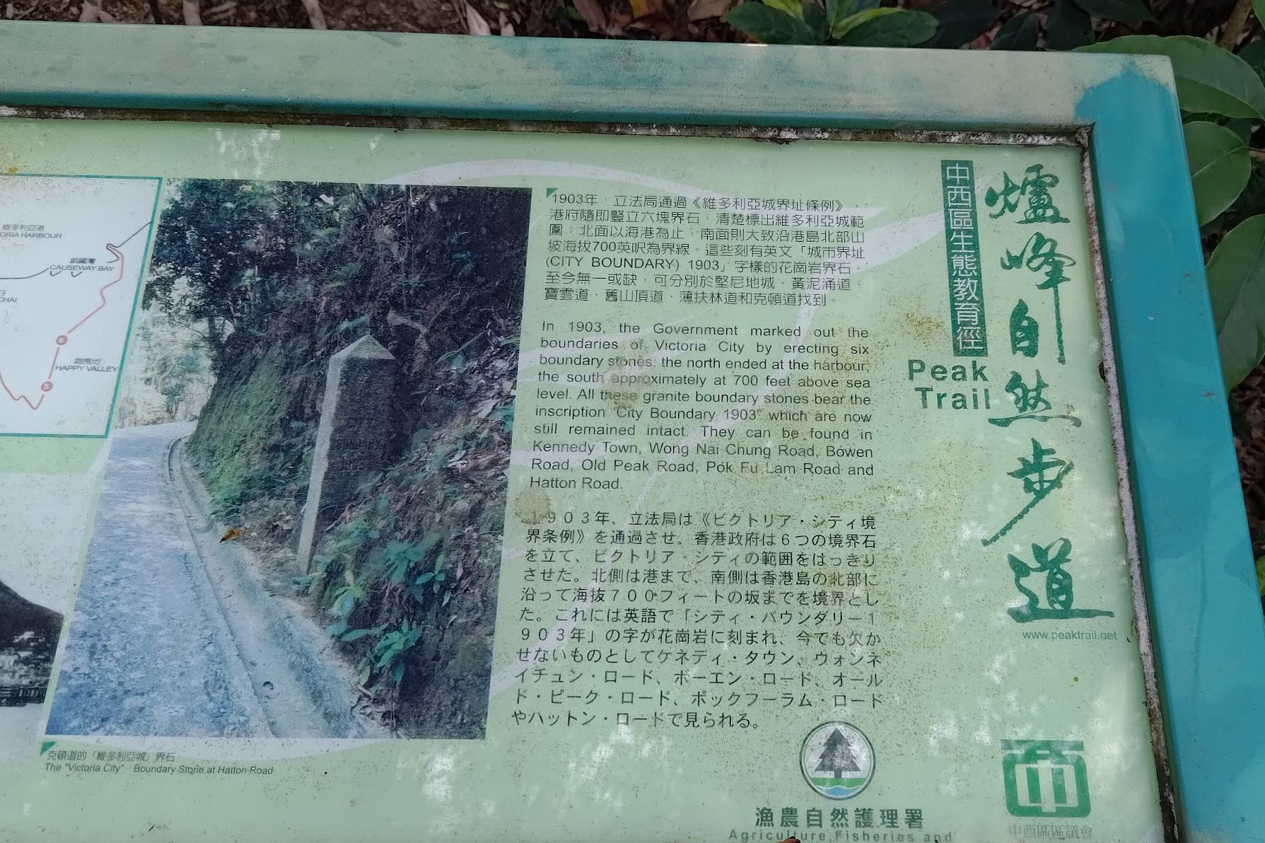
- Boundaries Defined: The boundaries of Victoria City were established by “The City of Victoria Boundaries Ordinance 1903” on November 20, 1903, which marked the city’s limits.
- Boundary Stones Erected: The Hong Kong government erected granite boundary stones on November 20, 1903, to mark the city's boundaries.
City of Victoria Districts:
The nine districts were (yes, they were really spelt like that back in the day):
- Victoria
- Show Ke Wan
- Sai Wan
- Sheak O
- Ty Tam Took
- Stanley
- Heong Kong
- Aberdeen
- Pok Foo Lum
The seven sub-districts were:
- No. 1 Or Sei Ying Poon
- No. 2 Or Sheong Wan
- No. 3 Or Tai Ping Shan
- No. 4 Or Choong Wan
- No. 5 Or Ha Wan
- No. 6 Or Wong Nei Choong
- No. 7 Or So Koan Poo
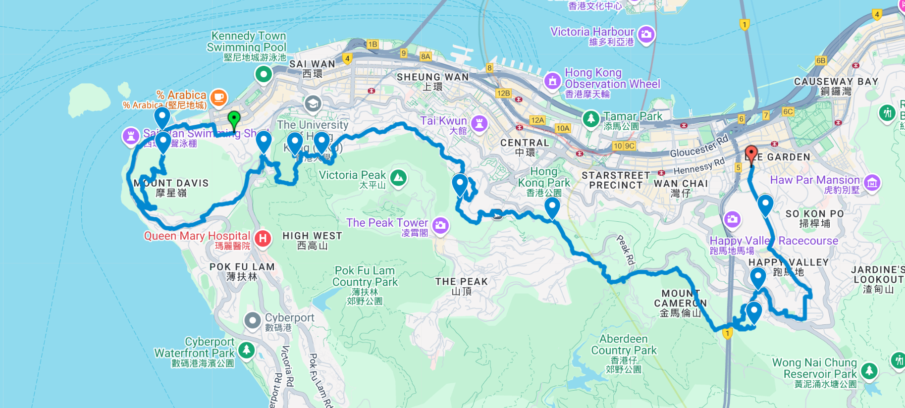
Google Route Map and GPX
City of Victoria Boundary Stones Hike GPX
*Click the box icon in the top right of the map below to load the blue route directly into your own Google Maps. You can then see your location relative to the trail in real time!
How to Get to the City of Victoria Boundary Stone Hike Start Point
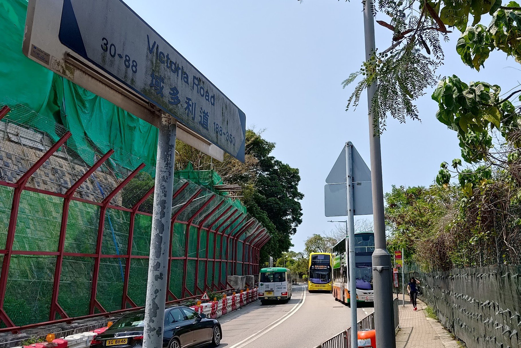
Take the MTR to Kennedy Town Station and leave through Exit C. The hike guide starts from this point.
Quick Tiu Tang Lung Hike Route Summary
Boundary Stone 1
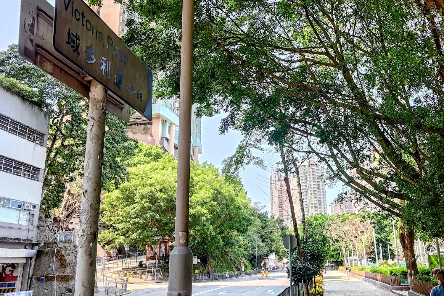
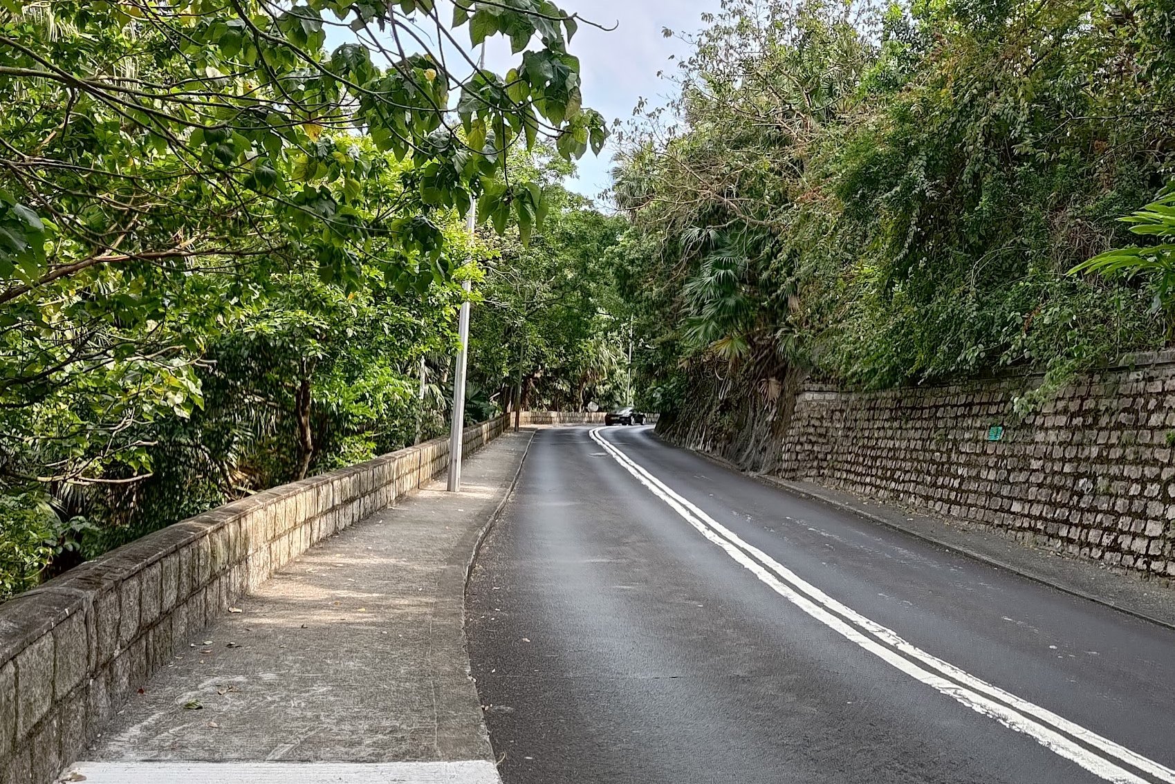
- After taking Exit C at Kennedy Town MTR Station, follow Forbes Street, turn down Cadogan Street and then turn left down Victoria Road.
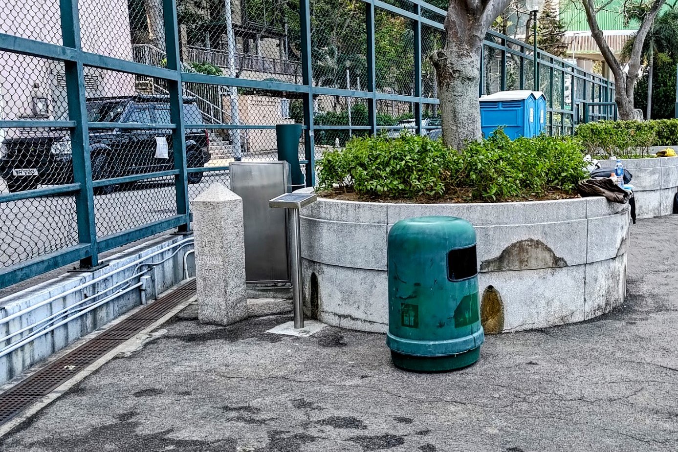
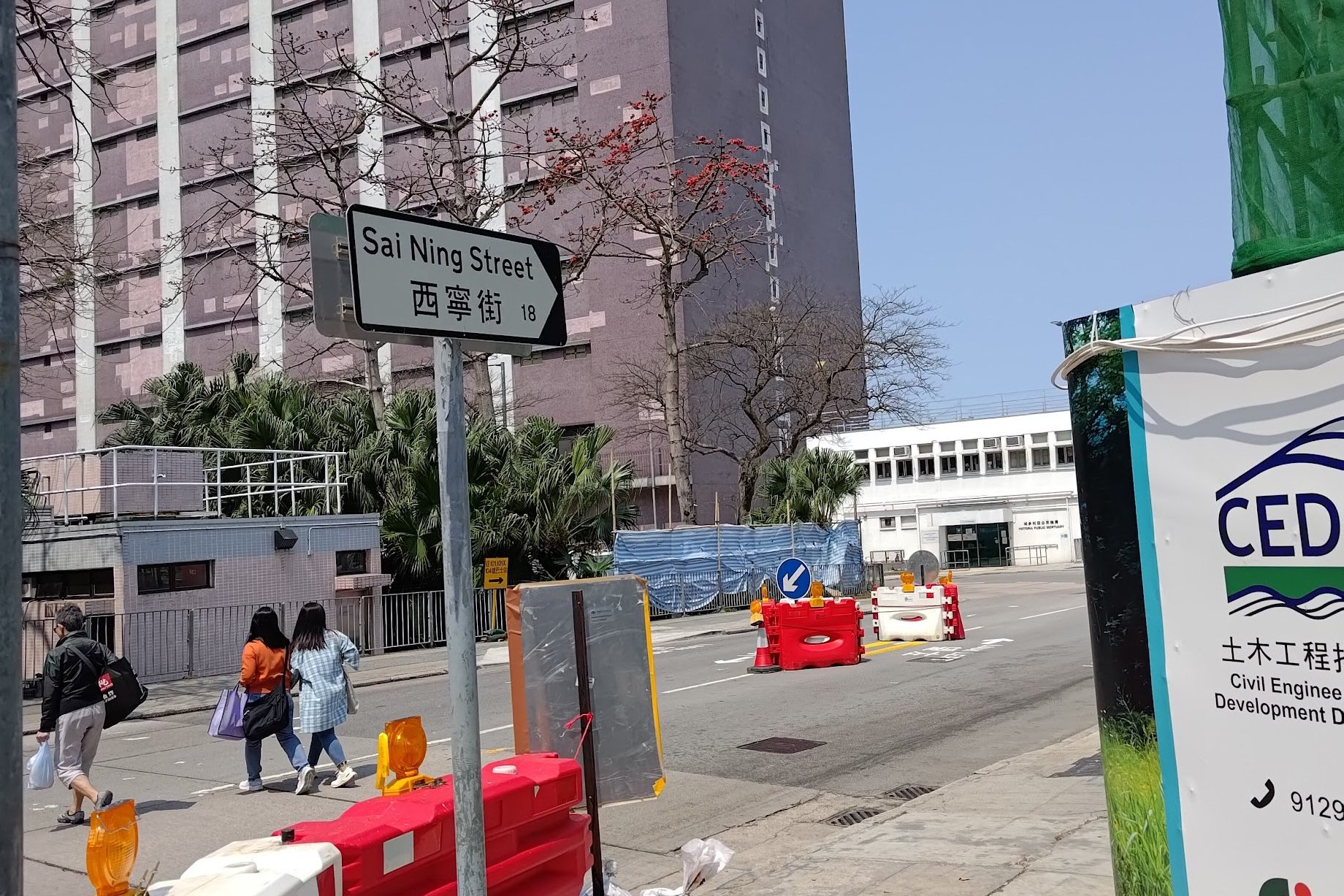
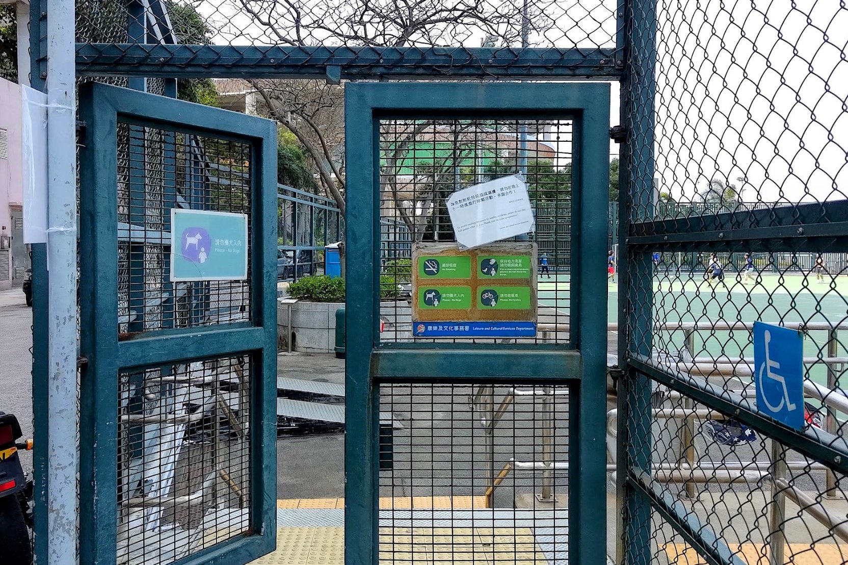
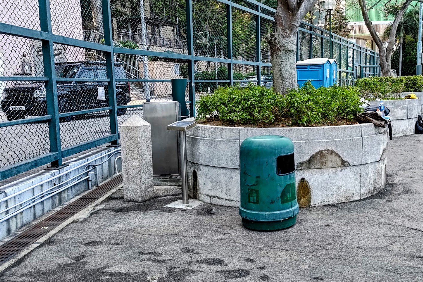
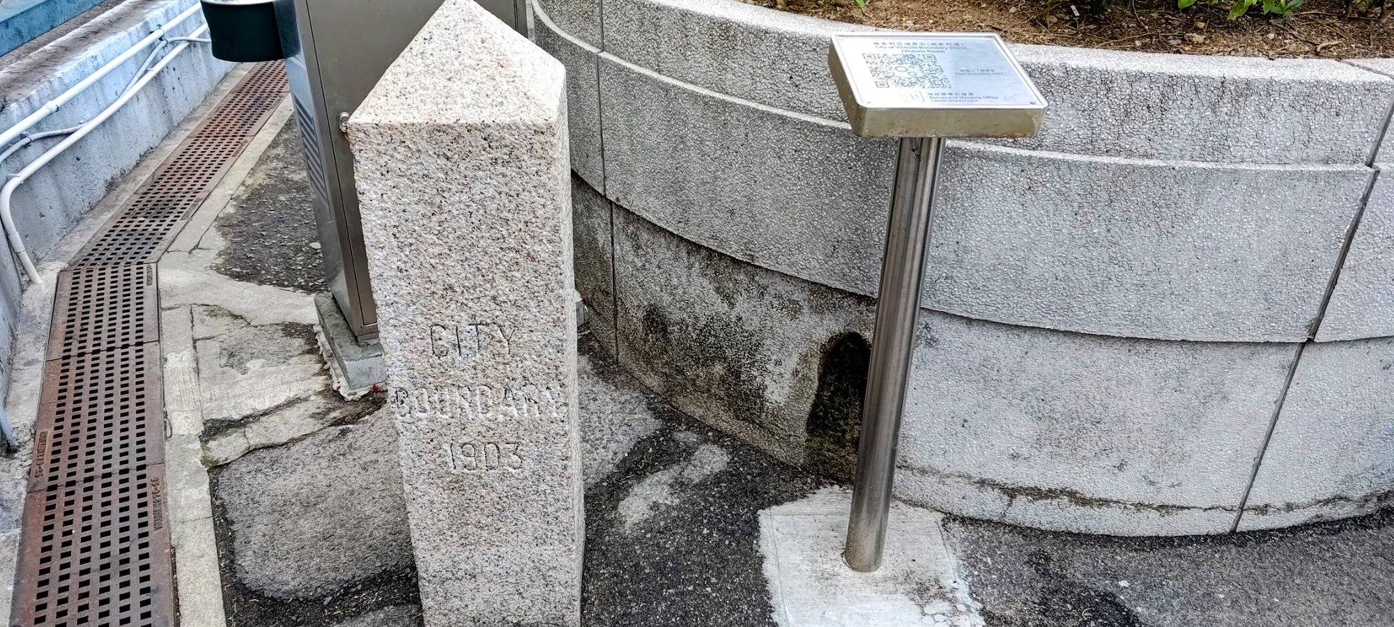
- Go down Sai Ning Street until you reach the Kennedy Town Temporary Recreation Ground. Enter in and the first boundary stone is within the park by a bin of all things!
Boundary Stone 2
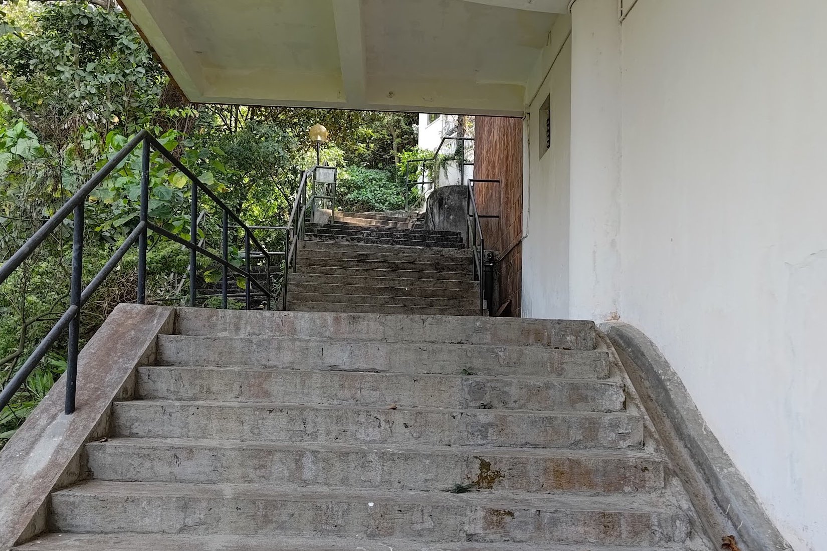
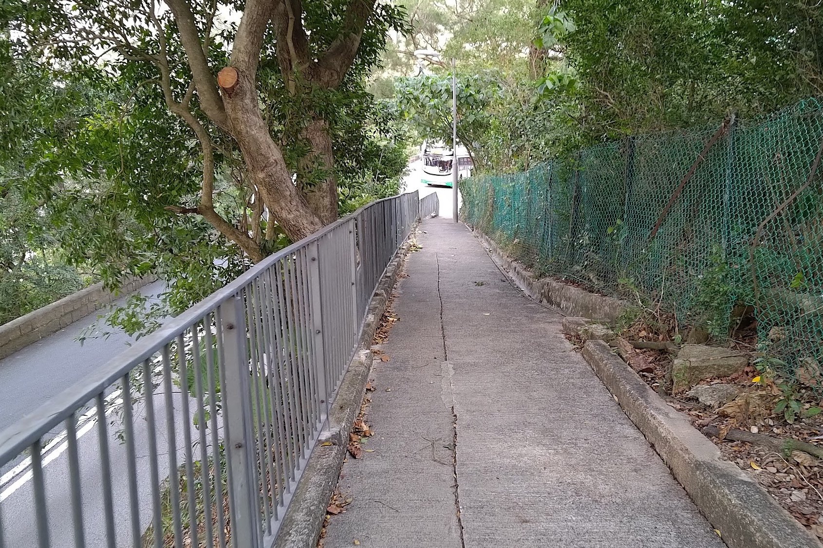
- Take the stairs opposite the recreation ground (beside Serene Court) and you will be back on Victoria Road.
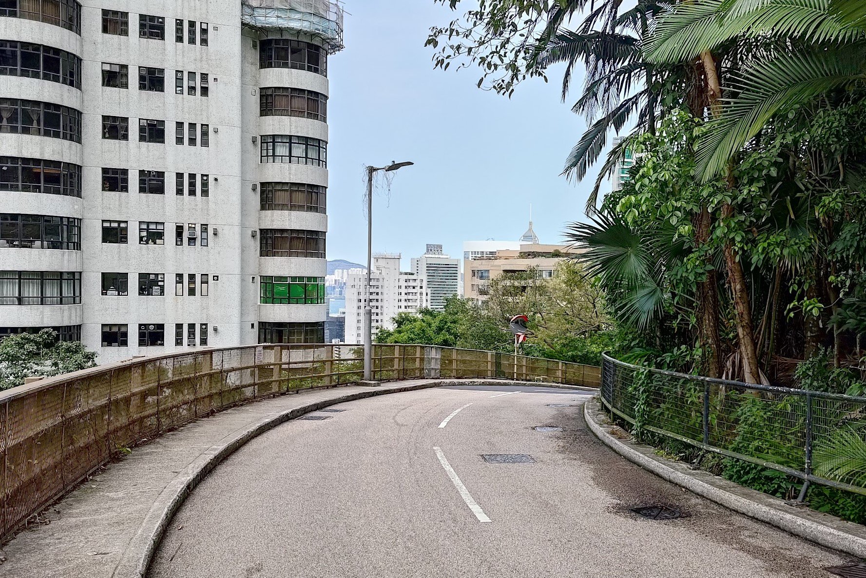
- Follow Victoria Road until you arrive at Mount Davis Path
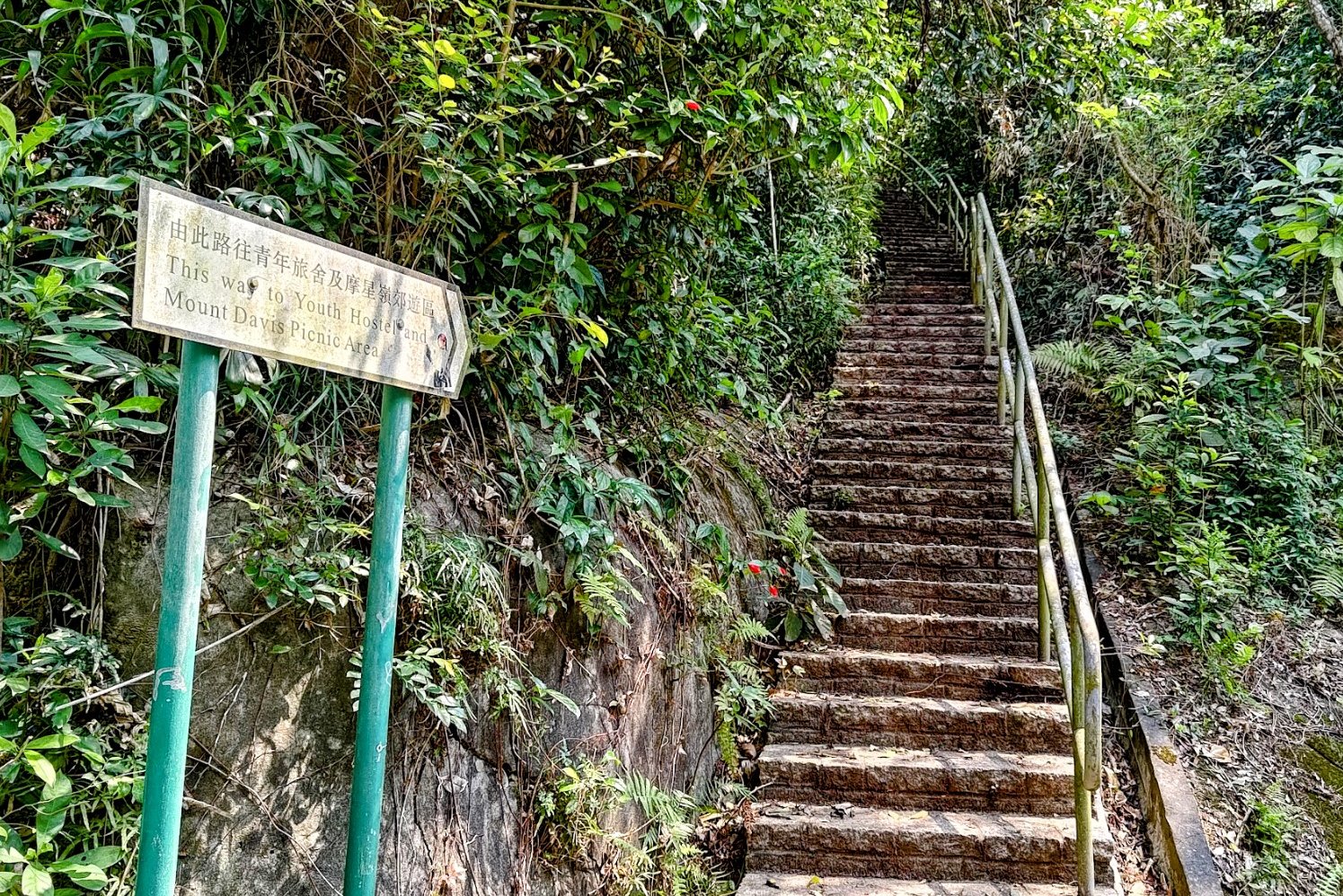
- Head up Mount Davis Path (follow the Mount Davis Path street signs) until you arrive at a sign that says "This Way to Youth Hostel"
- Take the stairs up beside the sign and you'll eventually see a path cut into the trees on your left. (use the Google Route Map above to find the exact spot)
- Follow the trail to the boundary stone. Retrace your steps back down to Victoria Road
Boundary Stone 3
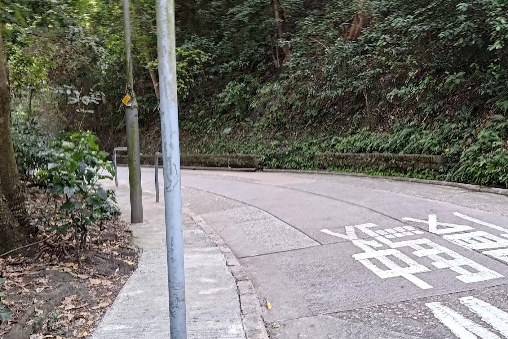
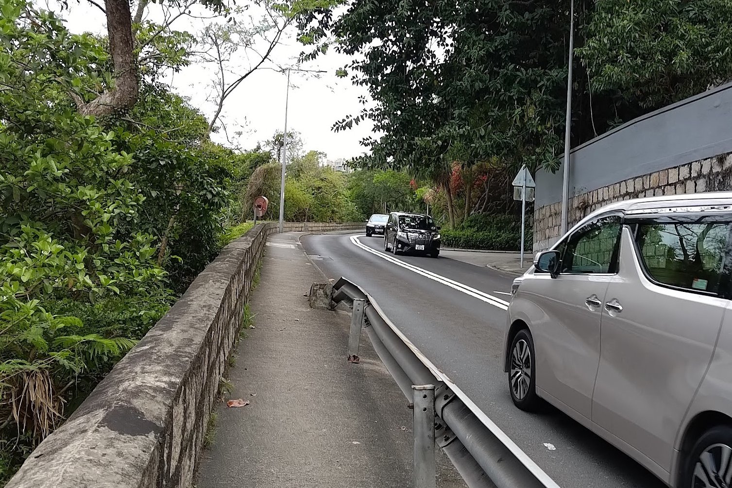
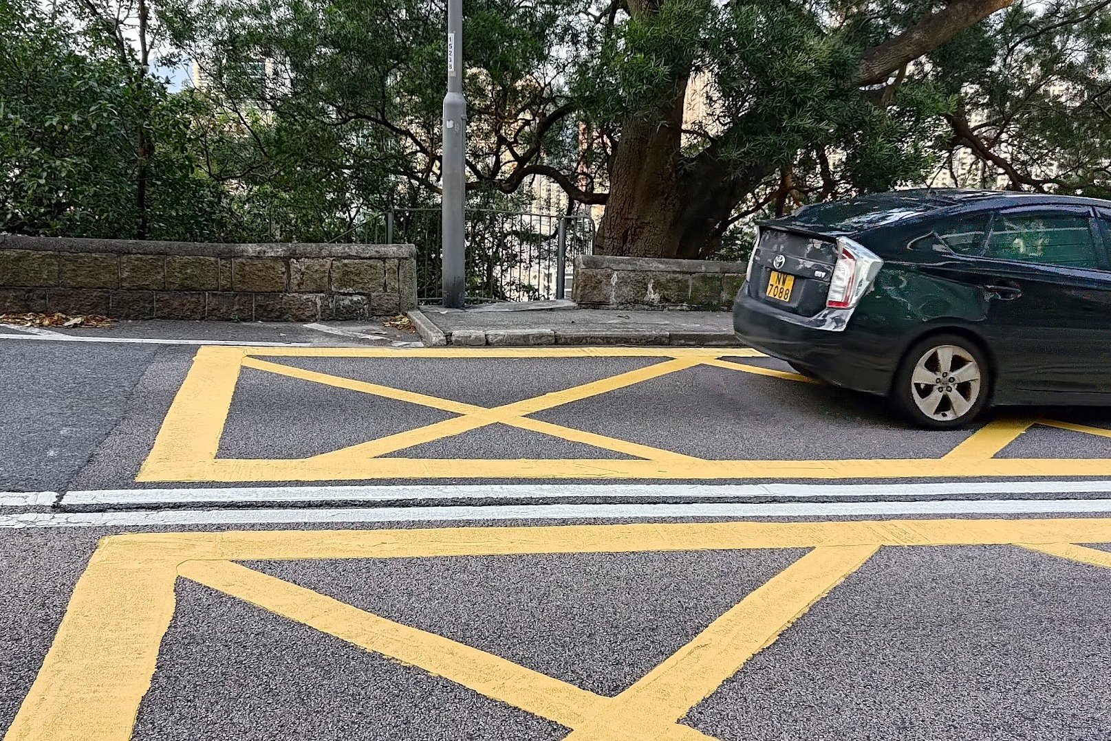
- Continue down Victoria Road until you arrive at West Island School. There is a set of stairs opposite the school. Take the stairs all the way up to Mount Davis Road.
- Follow Mount Davis Road until it merges with Pok Fu Lam Road (cross the road)
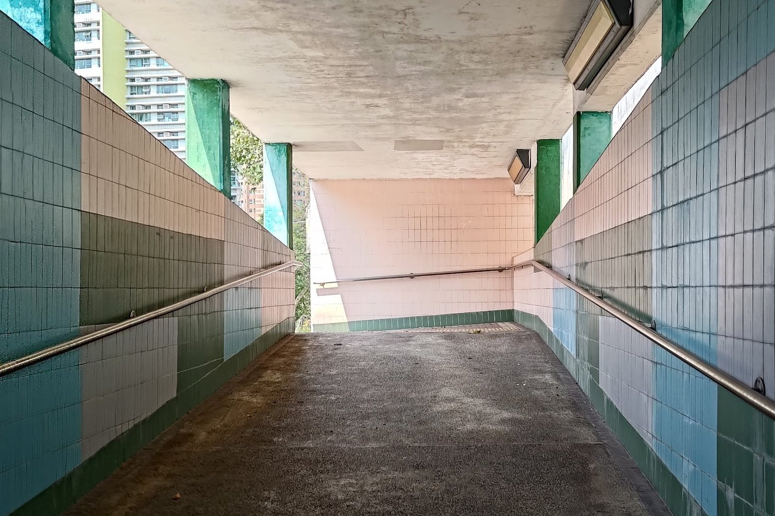
- Head left down Pok Fu Lam Road after the crossing and you'll see a pedestrian underpass. Take a right at the bottom of the underpass and climb up to the exit.
- The next boundary stone is just outside the exit to the right.
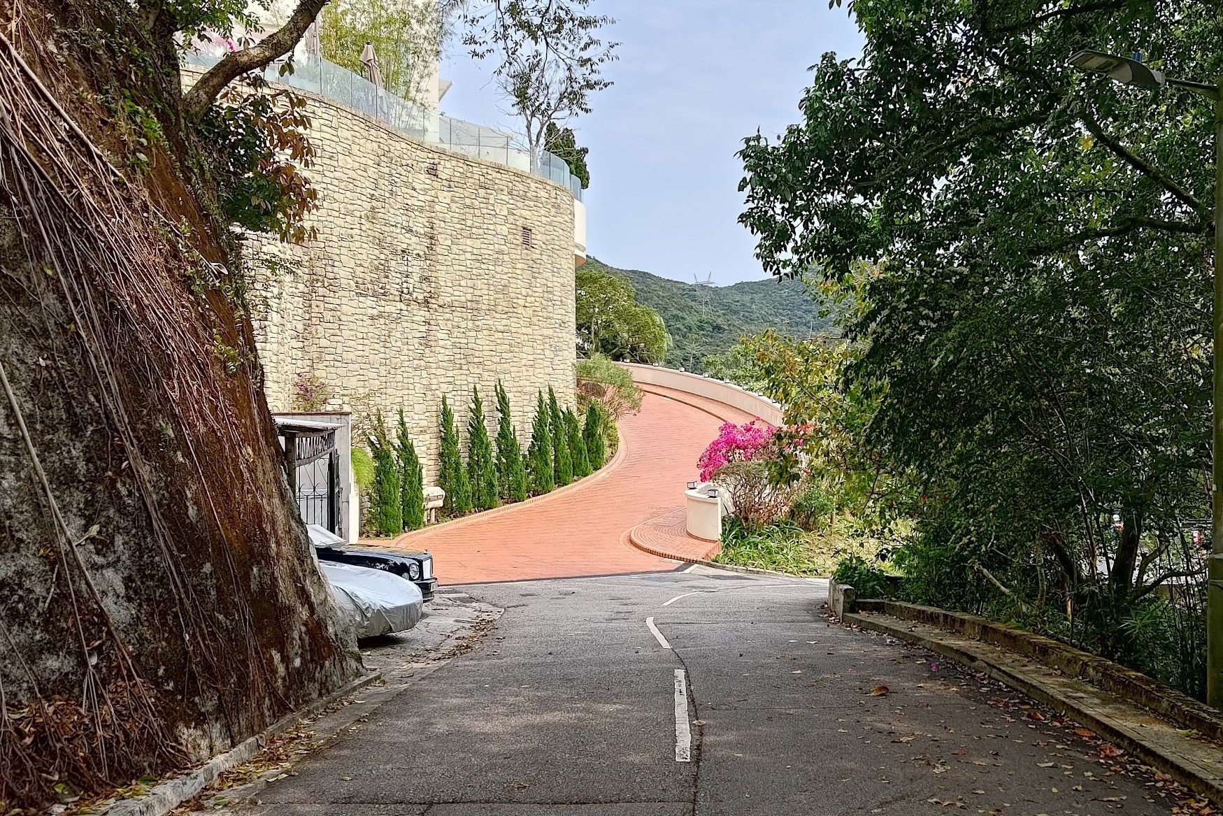
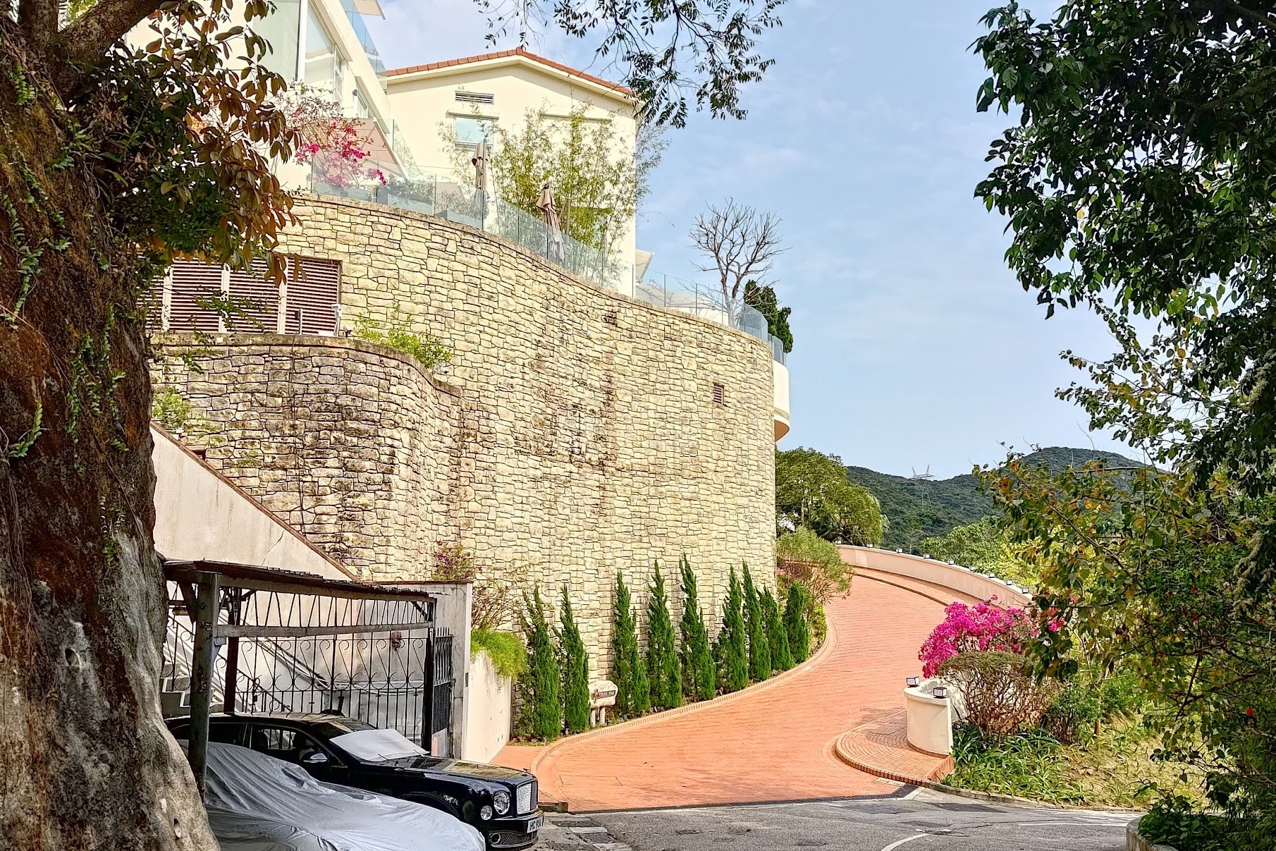
Boundary Stone 4
- Walk back past the exit (no need to enter the underpass again) and you'll curve left up Pok Fu Lam Road.
- Look out for the stairs on your left. A Greenvilla sign is built into the side of the stairs. There are also signs for Emerald Garden and Honey Court by the stairs.
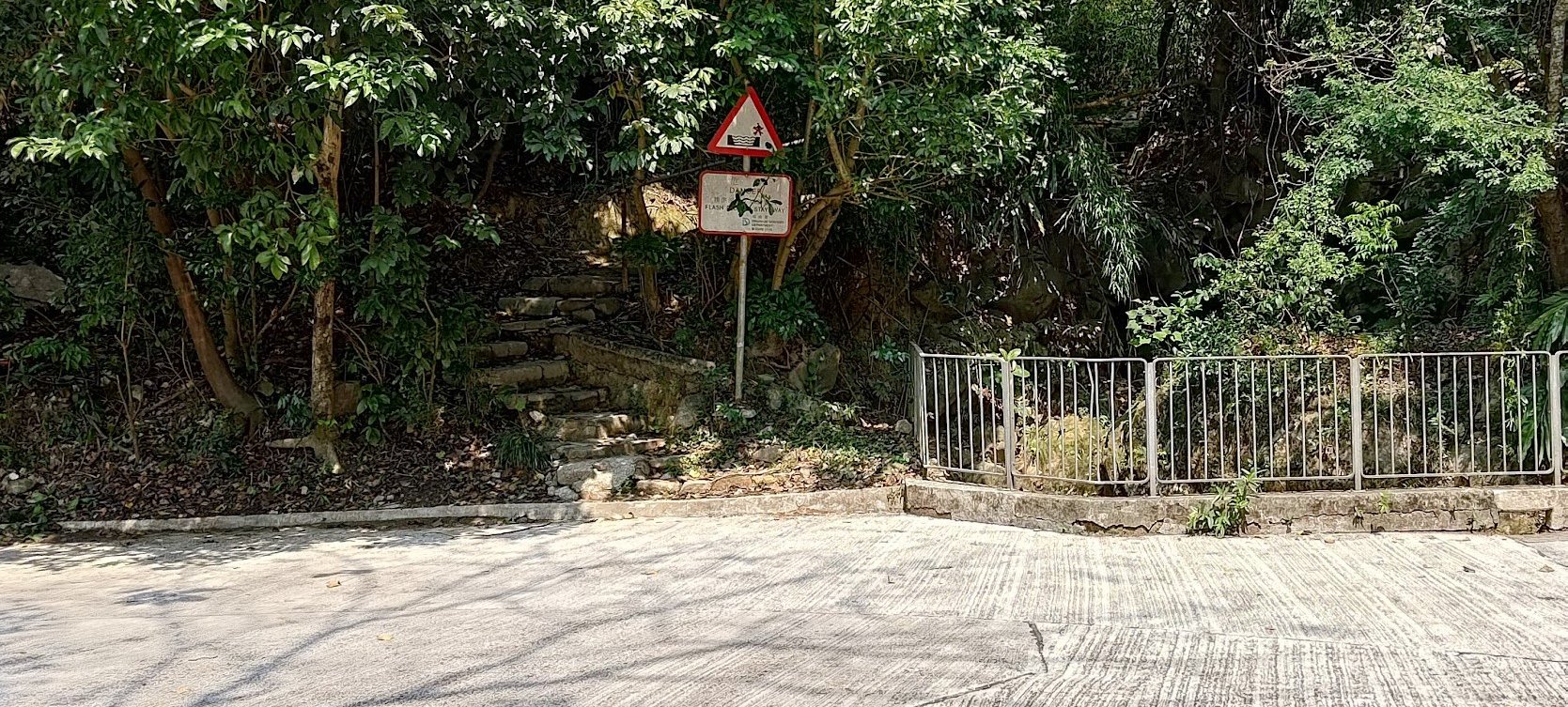
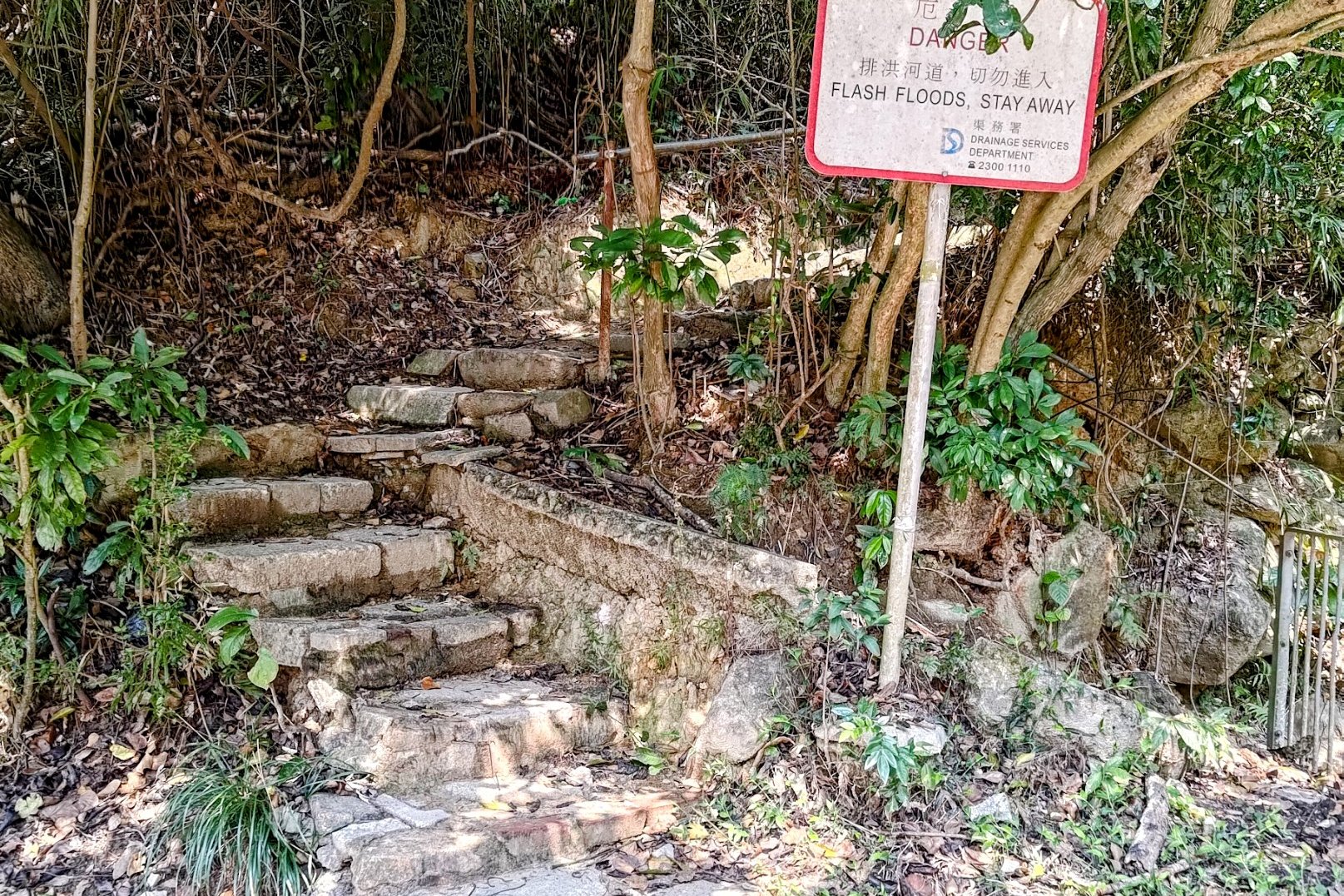
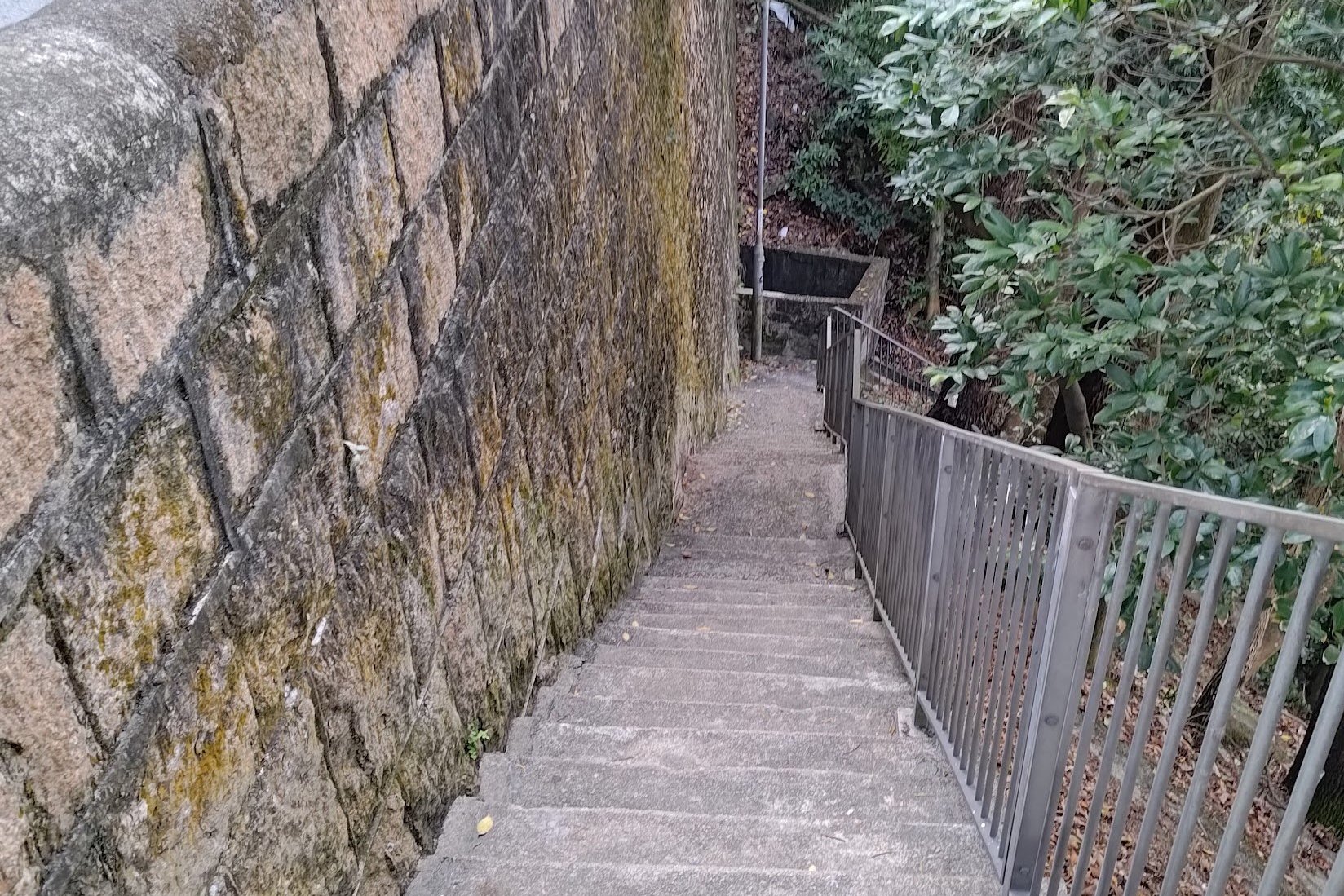
- Follow the stairs up until you reach a road. Cross the road and the stairs continue upward on the opposite side (A flash floods sign marks the next set of stairs)
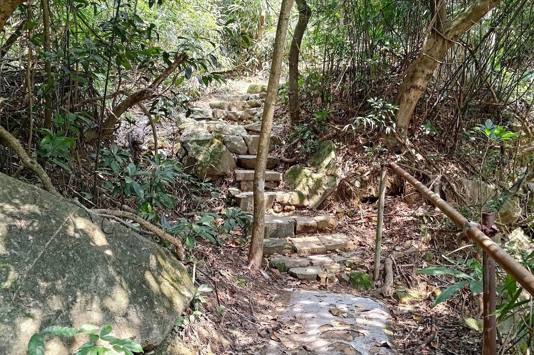
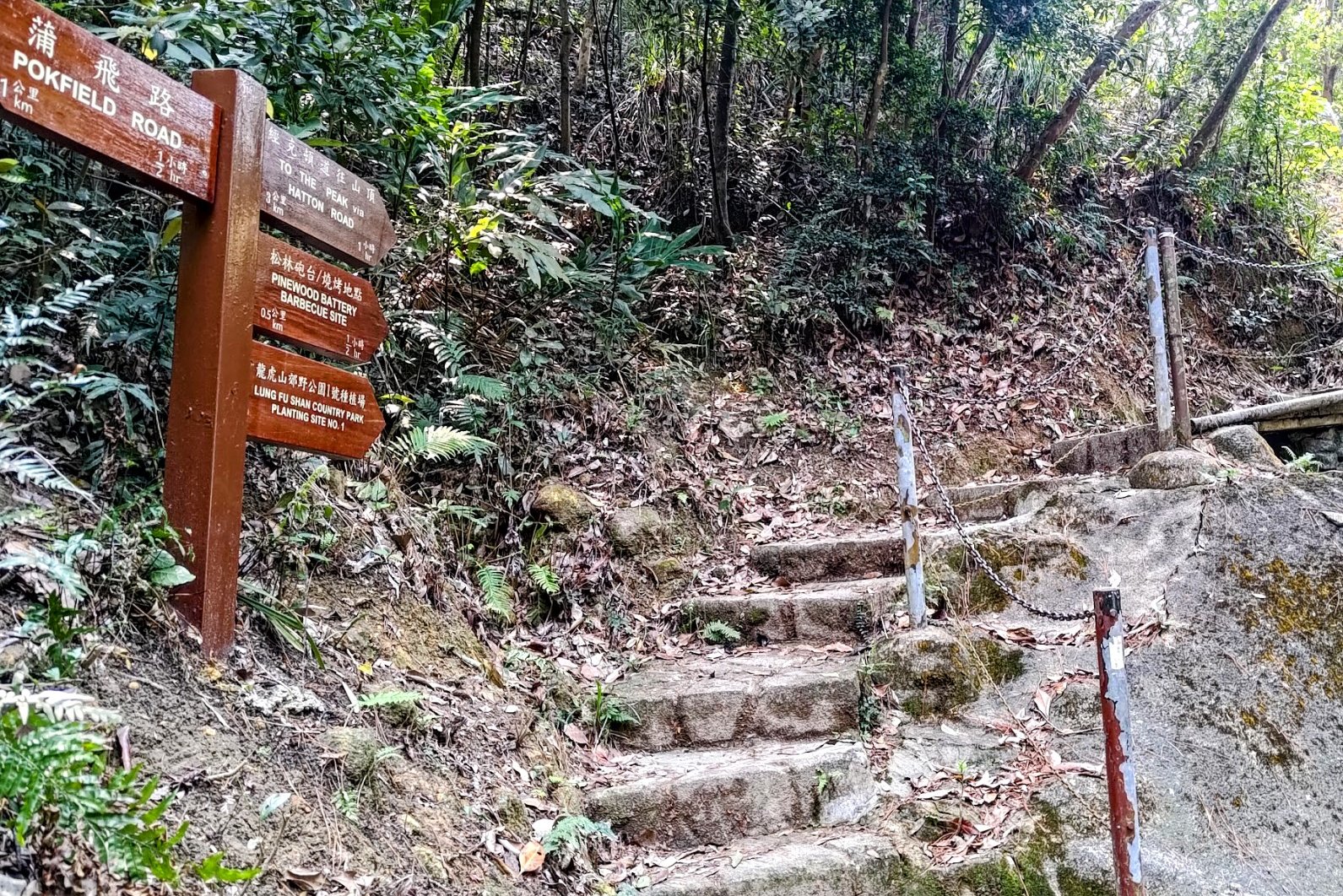
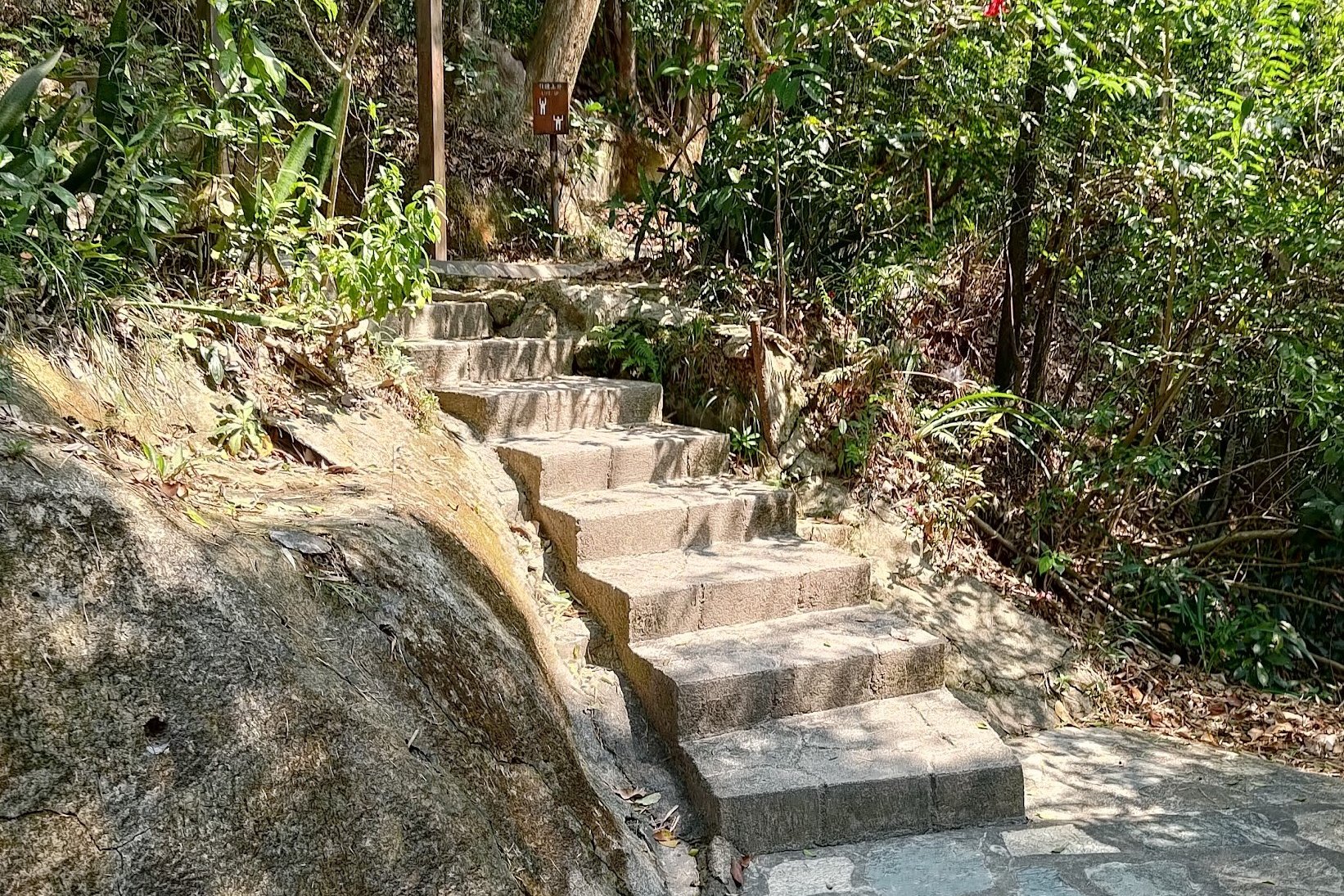
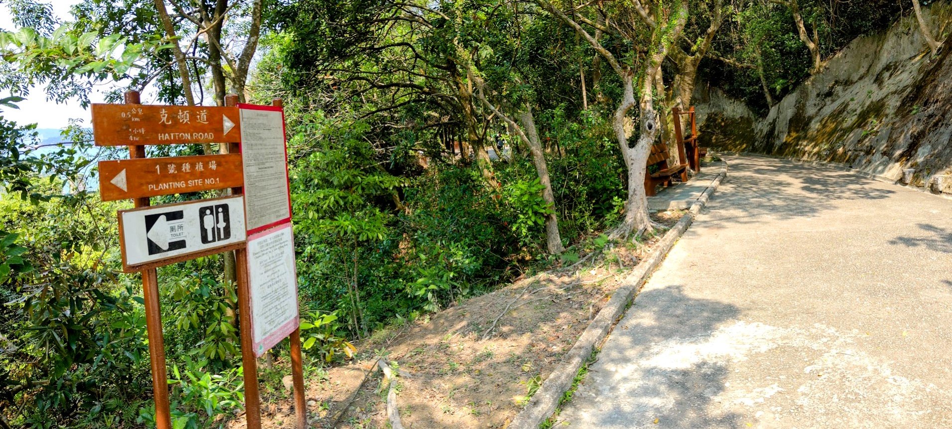
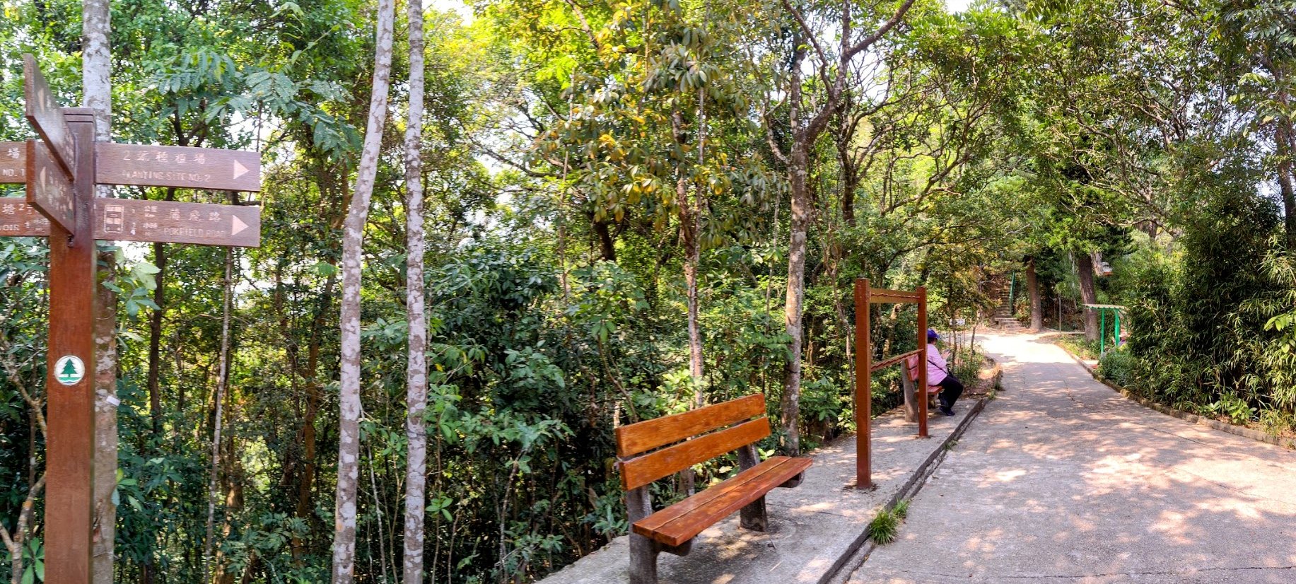
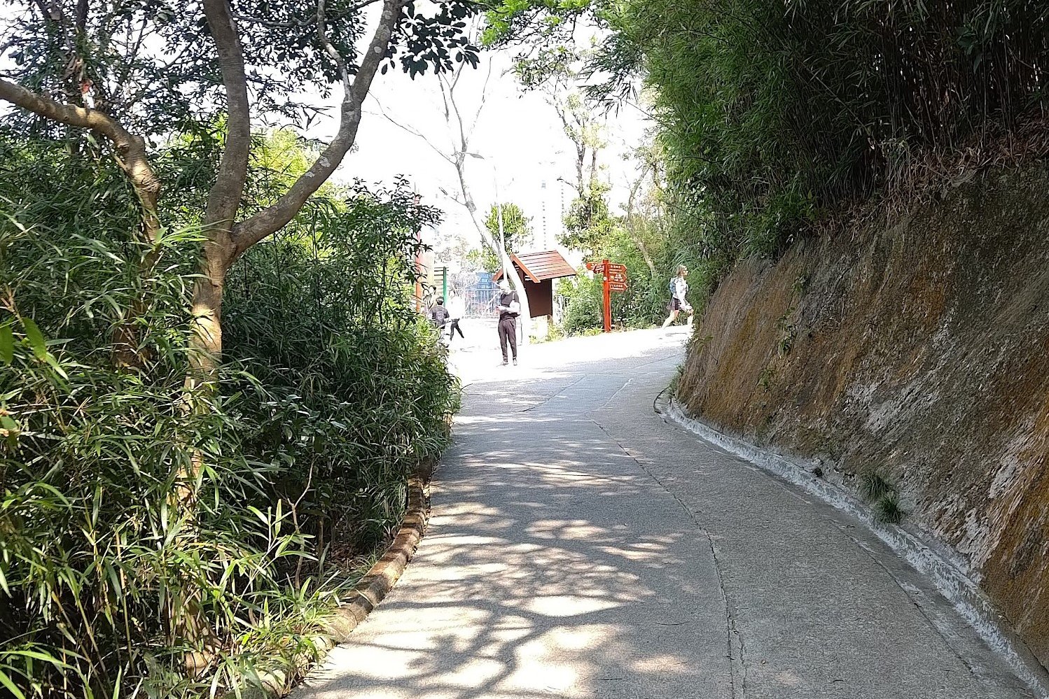
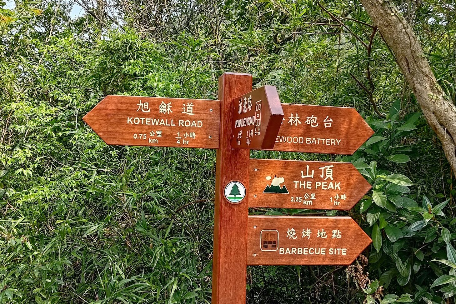
- At the top of the stairs, turn right along the path. Follow the flat path until you see a set of brown signs pointing to more stairs. Follow the one pointing to The Peak Via Hatton Road.
- Continue climbing until you reach another set of brown signs on a flat trail. Follow the sign pointing to Hatton Road
- You'll come across another set of signs soon after. Follow the signs pointing to Pokfield Road
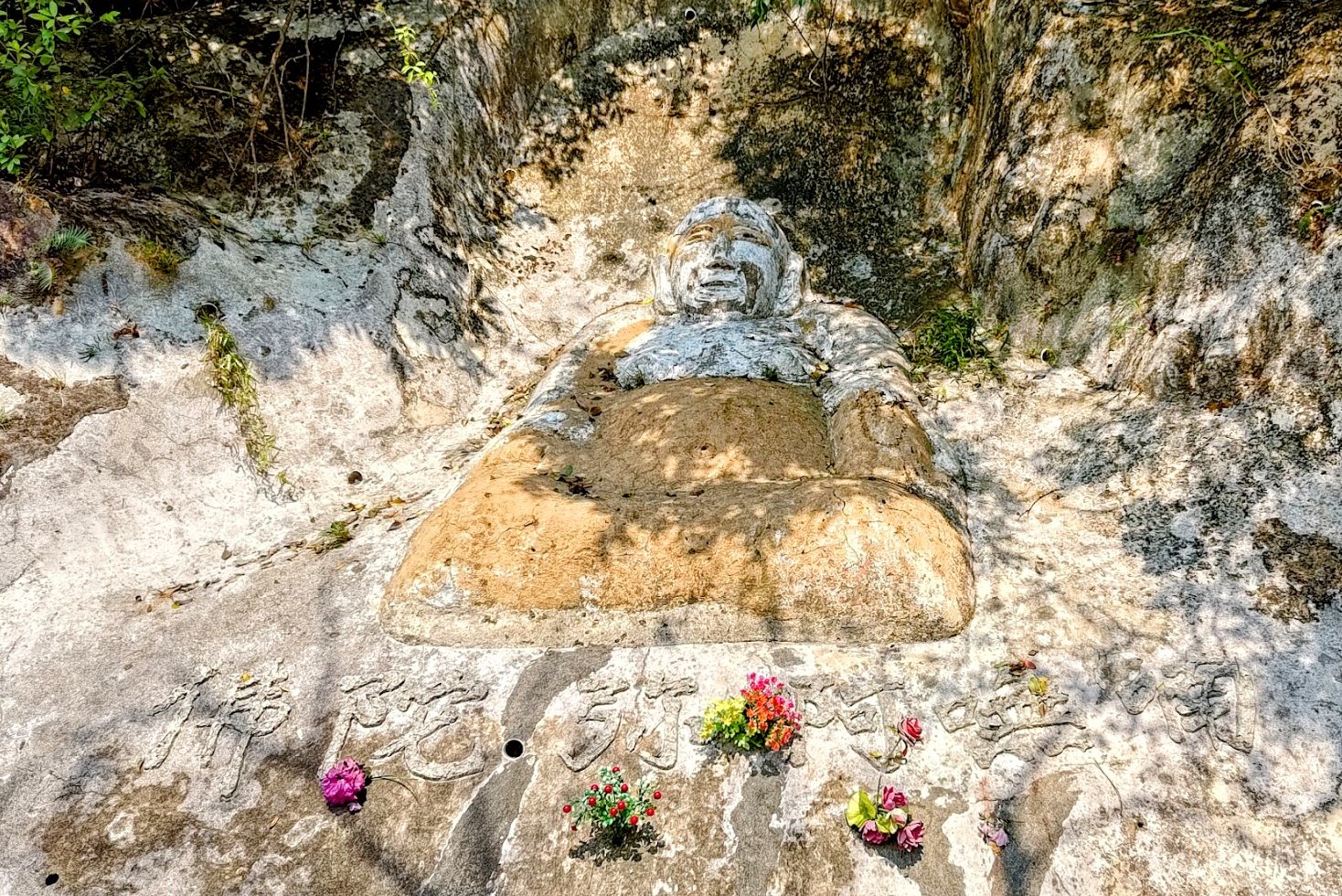
- Head down the trail until you see a sculpture of Buddha built into the rock on your right
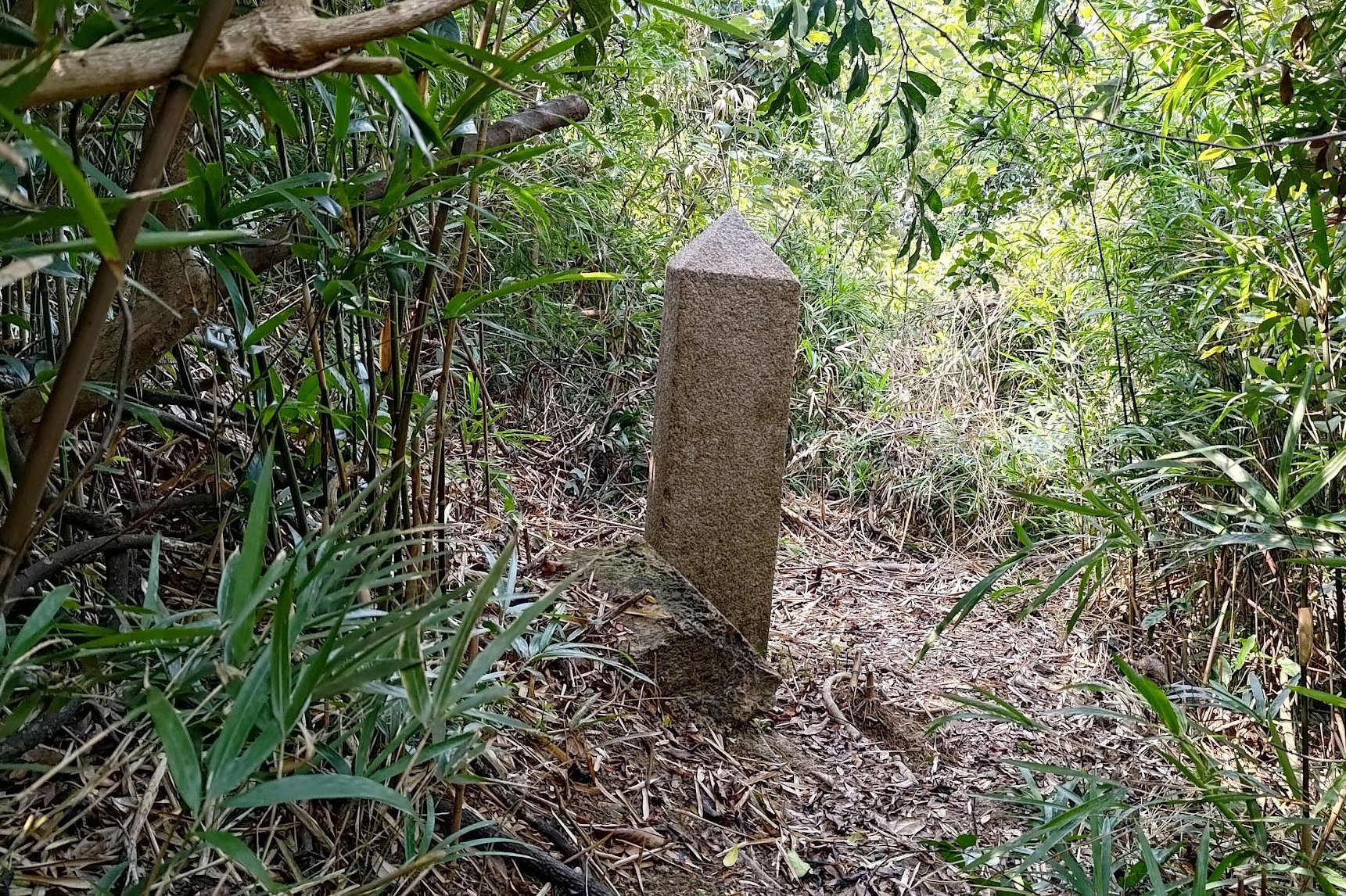
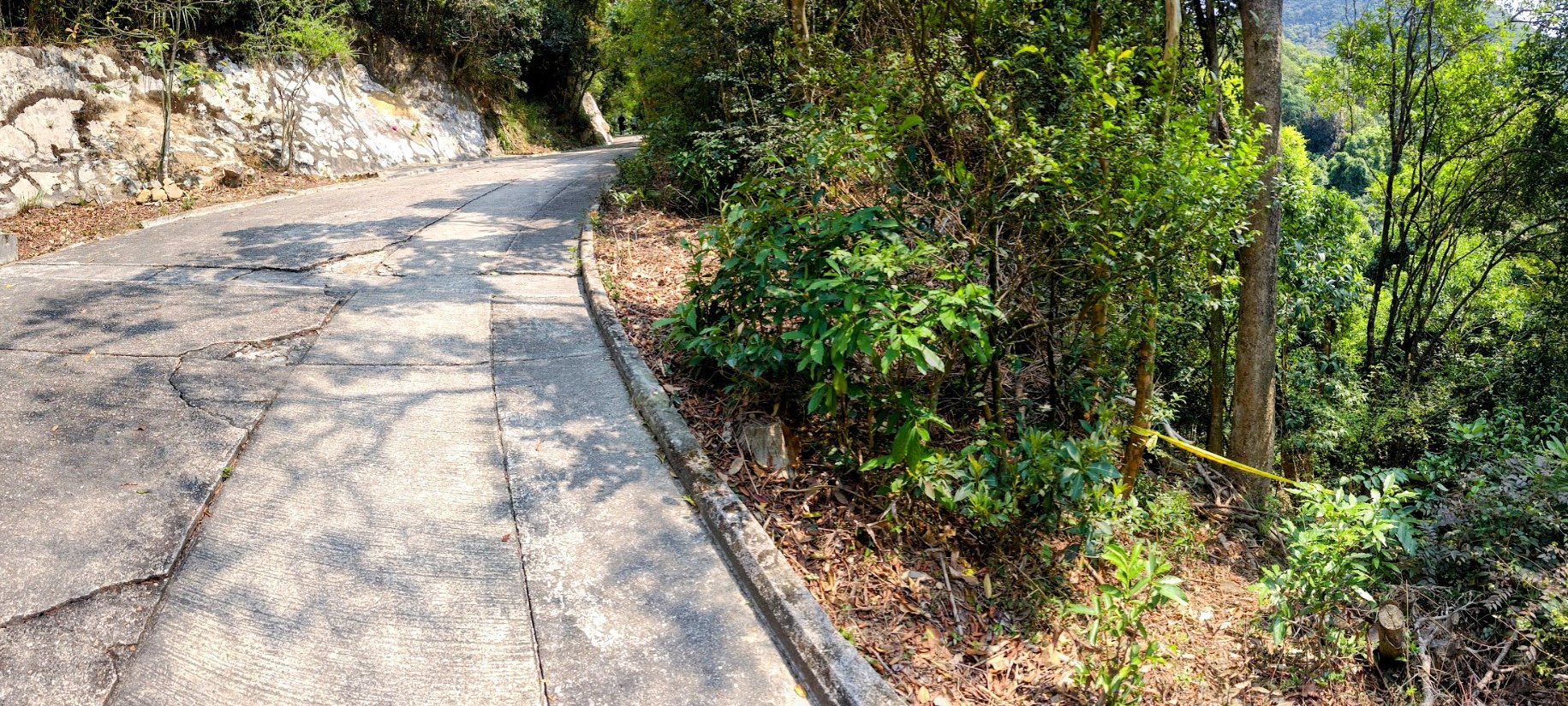
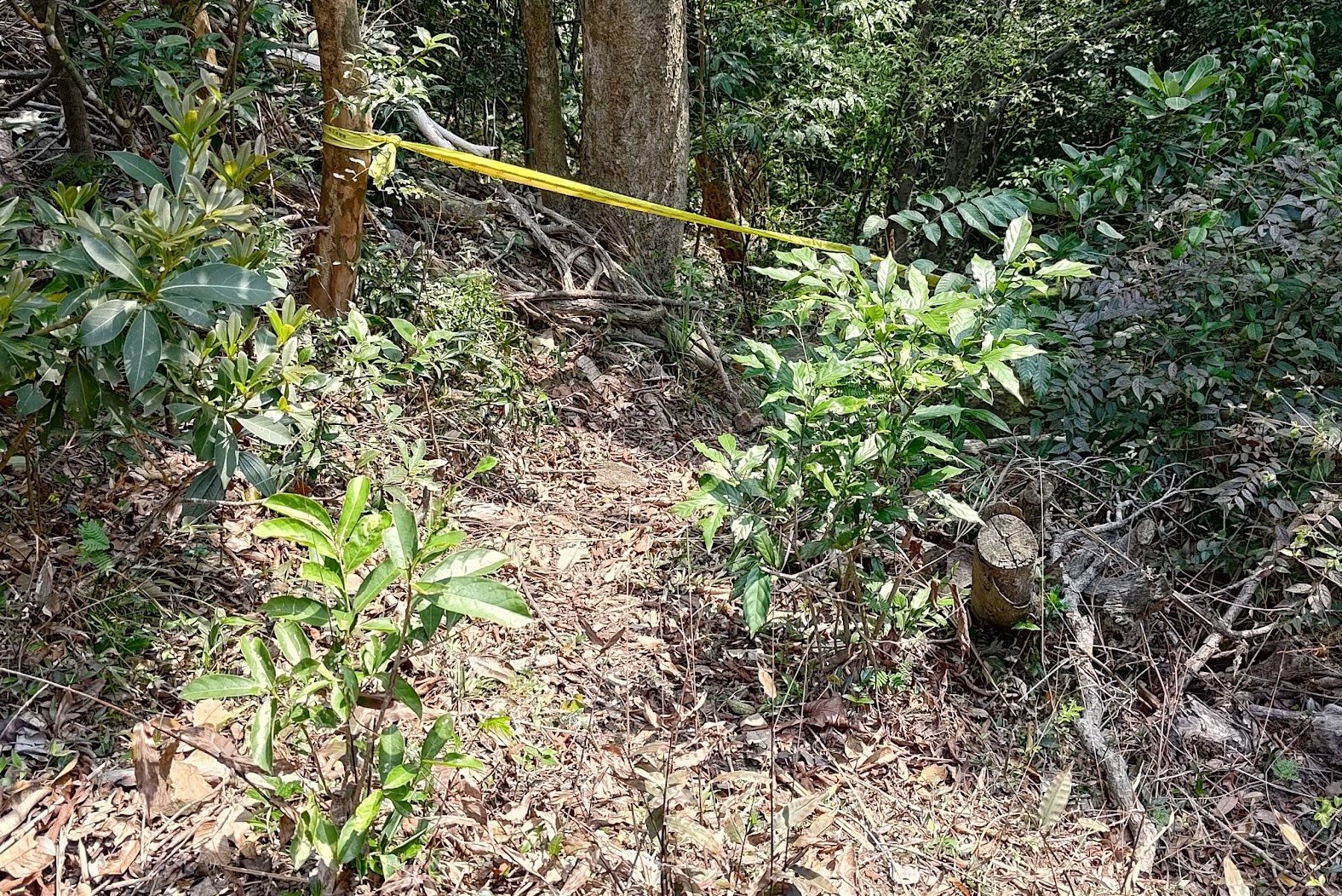
- Just a few steps ahead, on your left, is where you'll need to leave the trail to find the next boundary stone. It's hidden in the trees. There was a band of yellow tape pointing the way when I visited.
Boundary Stone 5
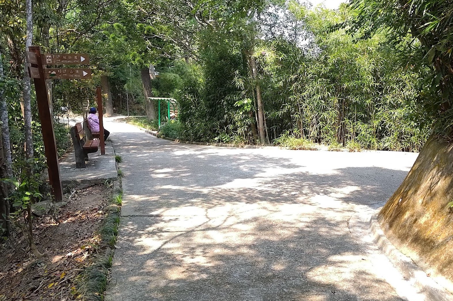
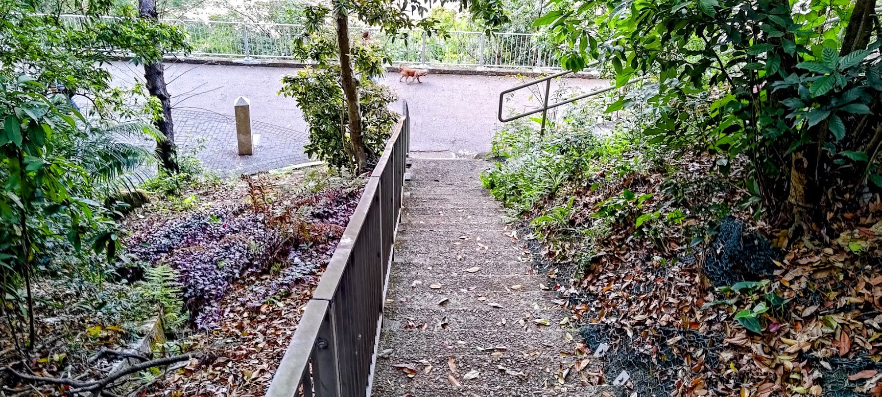
- Retrace your steps back to the Pokfield Road Sign. This time, follow the sign pointing to Kotewall Road
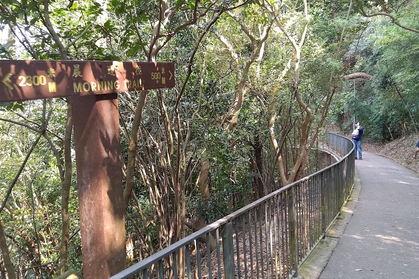
- Follow the next Kotewall Road sign and you'll be walking along the Morning Trail
- A short distance down the Morning Trail is where you'll find the next boundary stone.
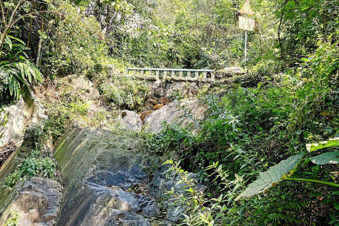
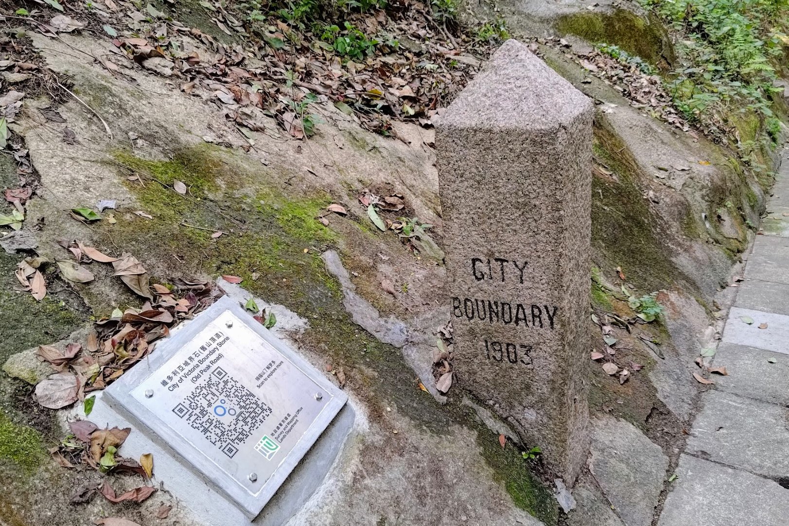
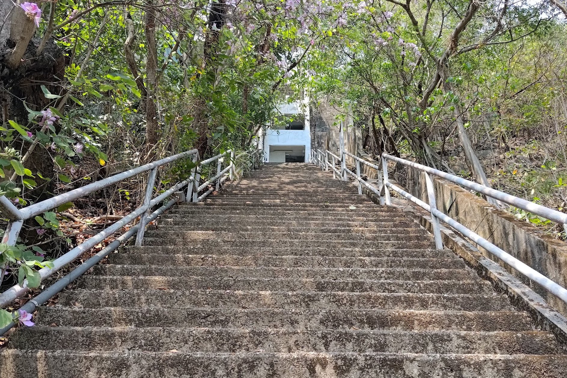
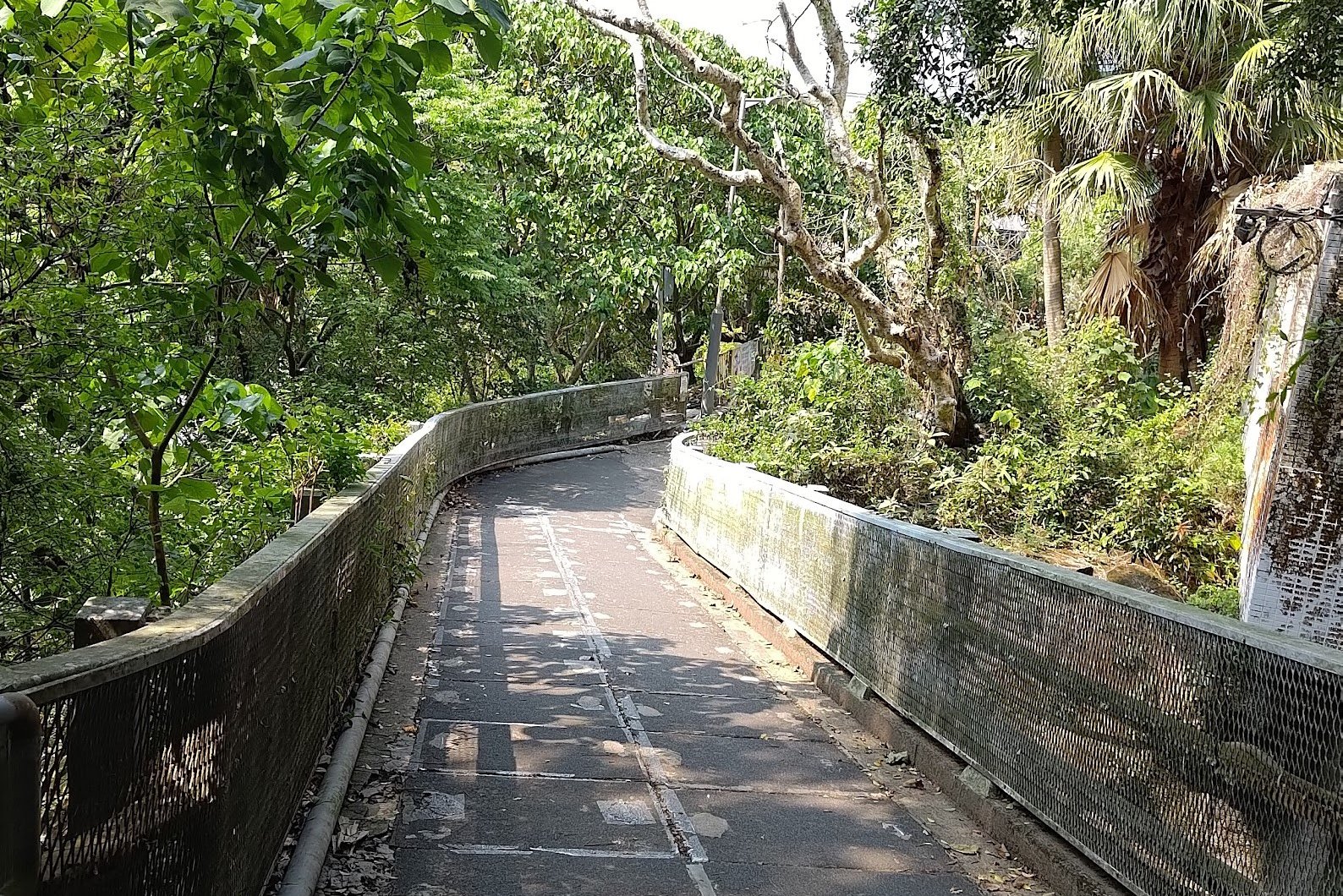
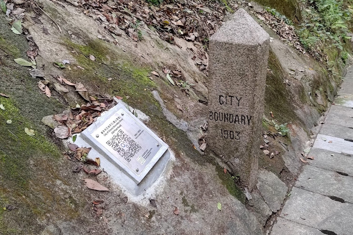
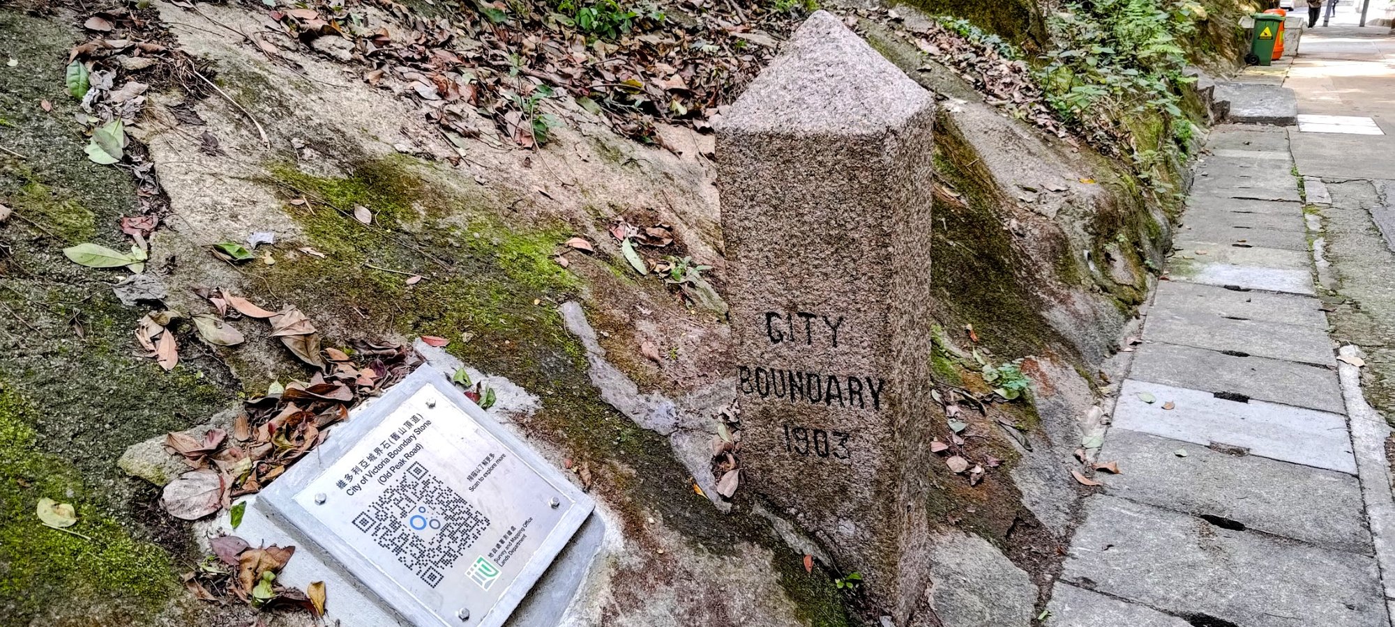
Boundary Stone 6
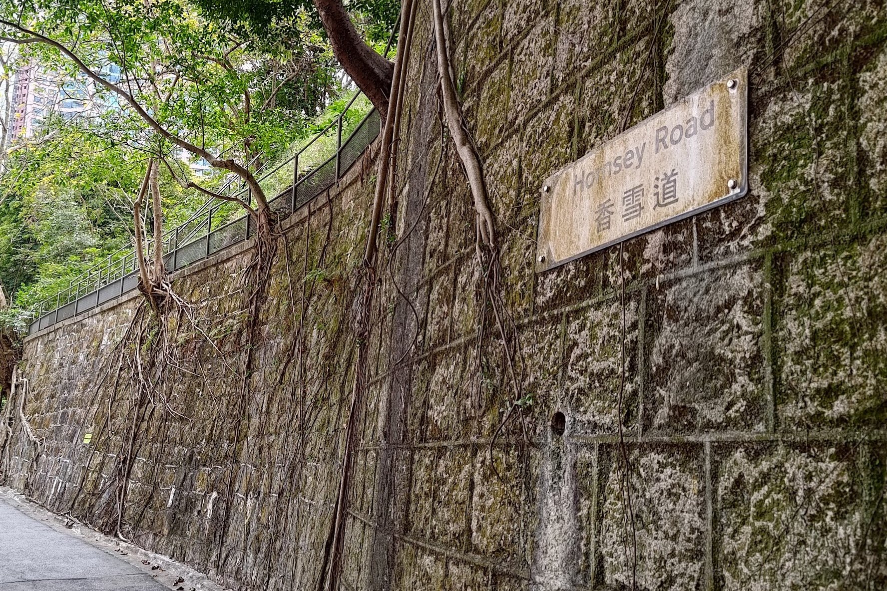
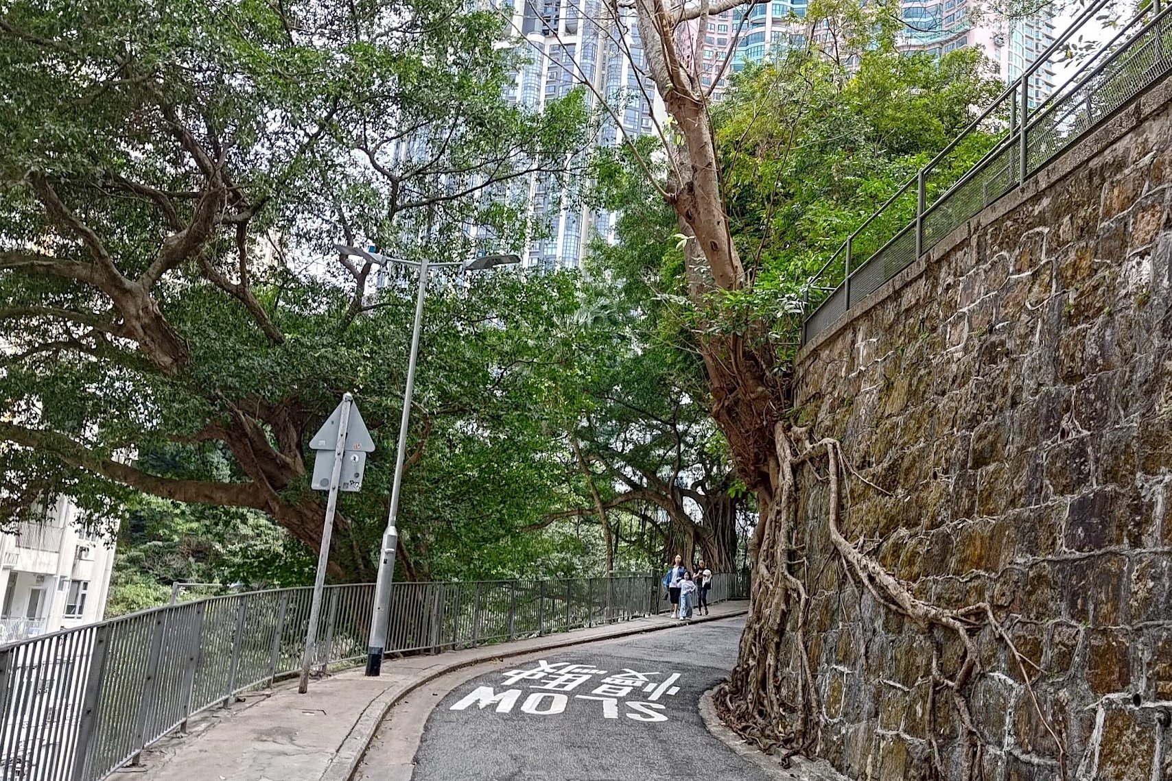
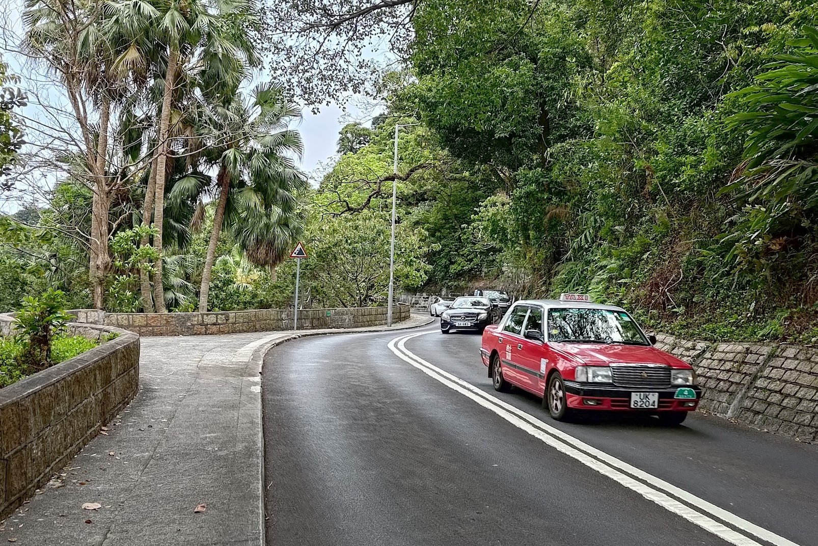
- At the bottom of the Morning Trail turn on to Conduit Road and follow it all the way until you can cross onto Hornsey Road
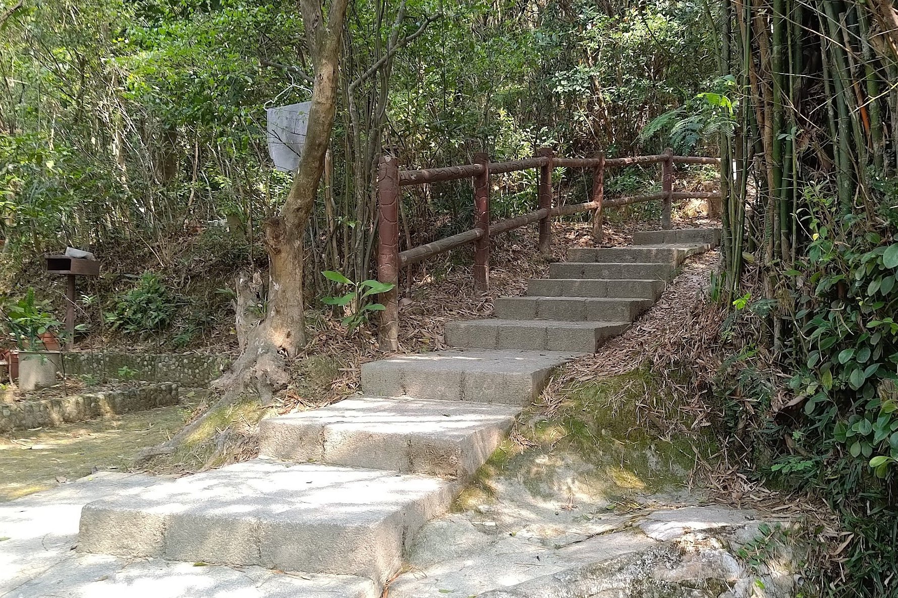
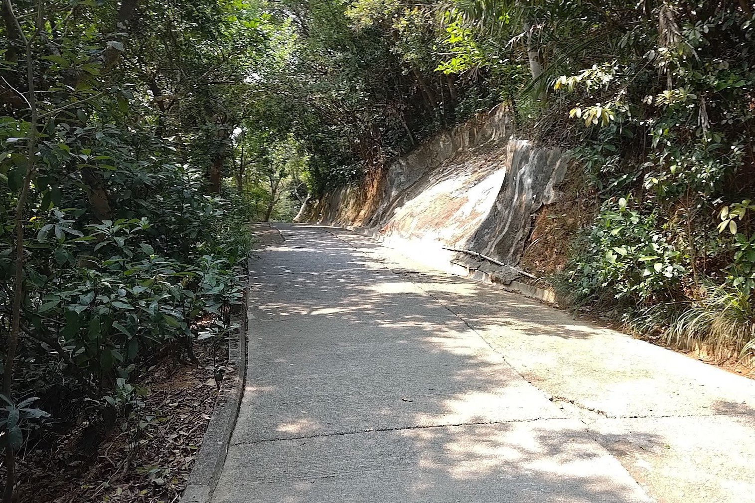
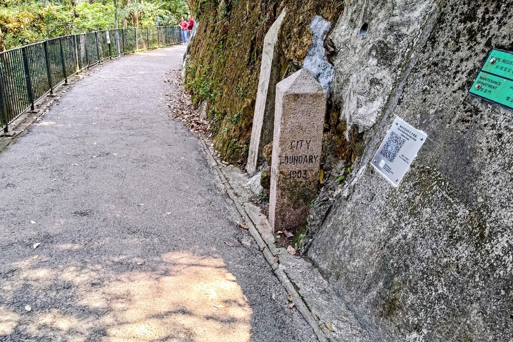
- Follow Hornsey Road until you can turn right onto Old Peak Road. Follow Old Peak Road up until you see a set of blue and pink signs.
- Follow the pink The Peak sign up a little path (that's still Old Peak Road)
- The next boundary stone is a short way up that path
Boundary Stone 7
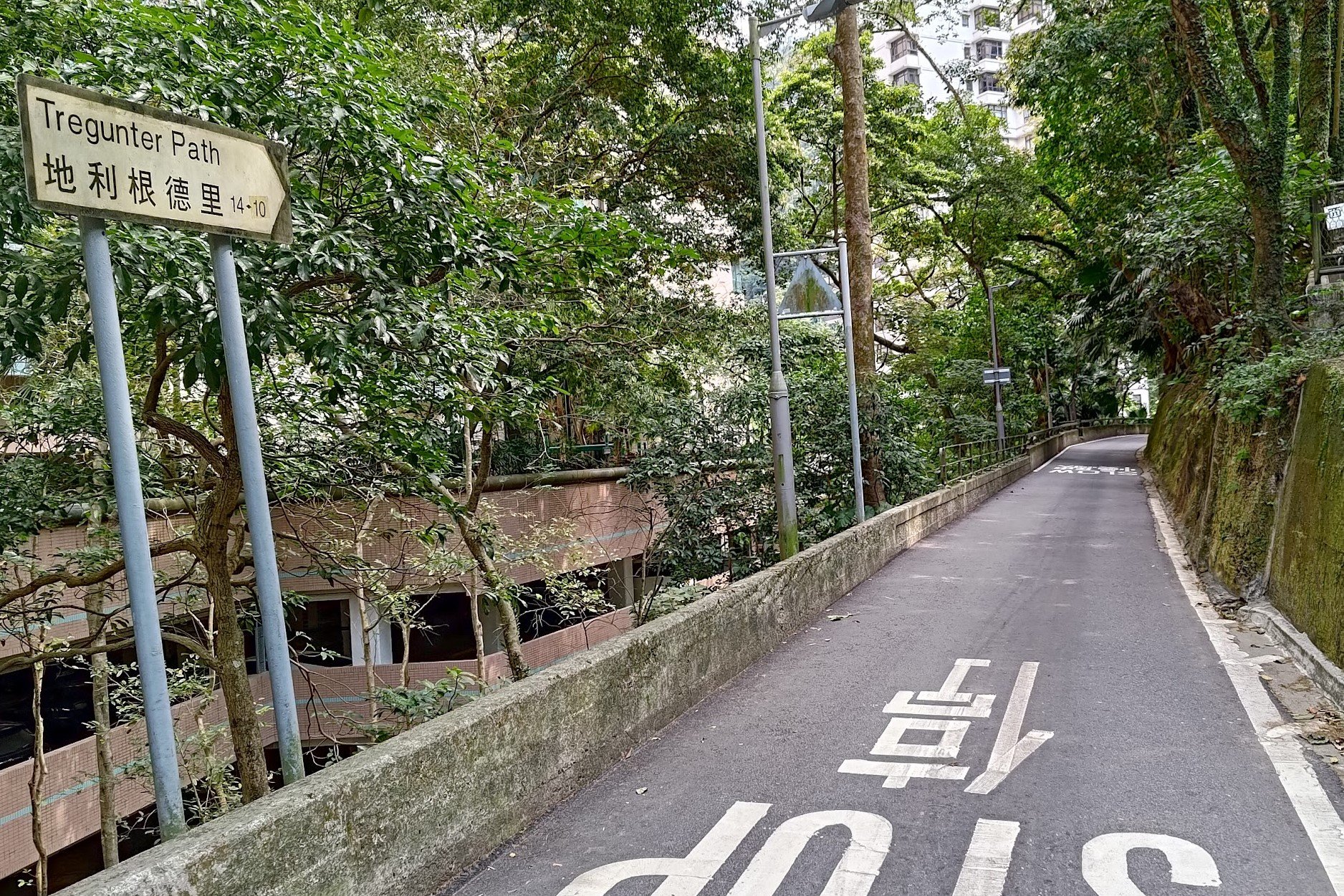
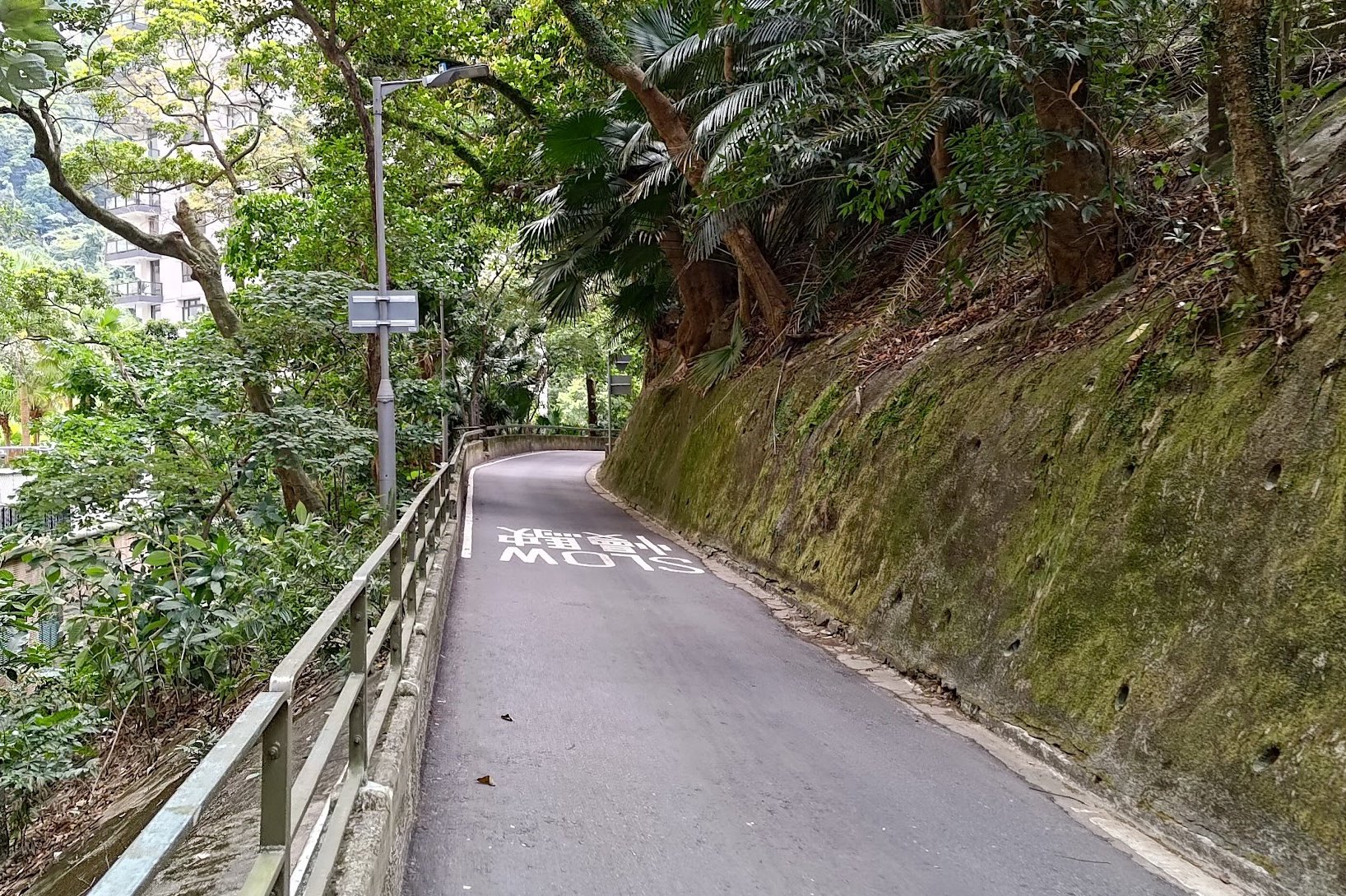
- Go back down the path until you can turn onto Tregunter Path. Be careful here as there's no pedestrian sidewalk for a short time
- Follow Tregunter Path before heading onto May Road
- From May Road, you'll want to curve up Magazine Gap Road (upward direction)
- Keep a lookout for Number 15 Magazine Heights. This was the site of another boundary stone that was destroyed during a construction project
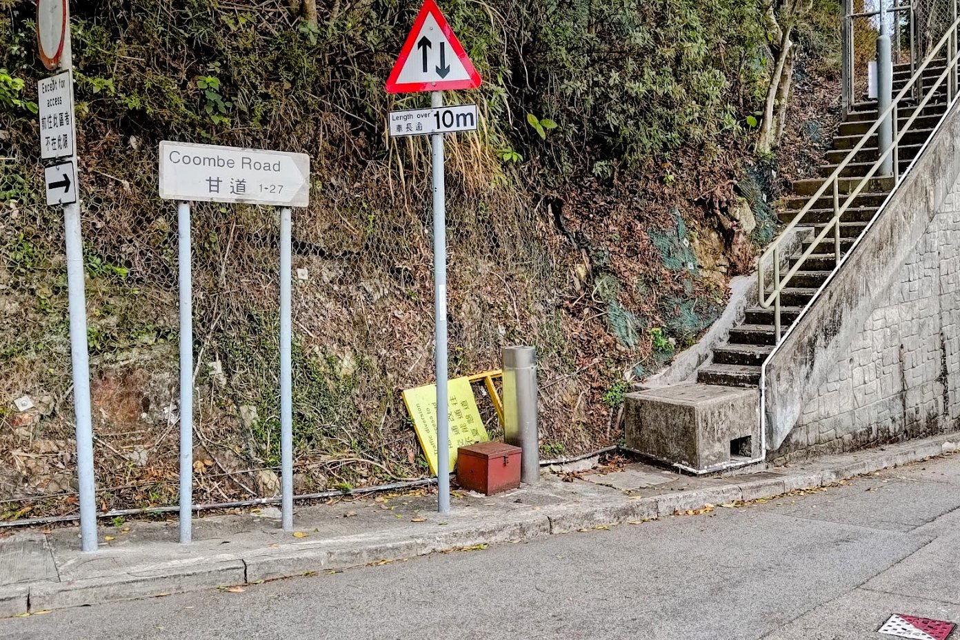
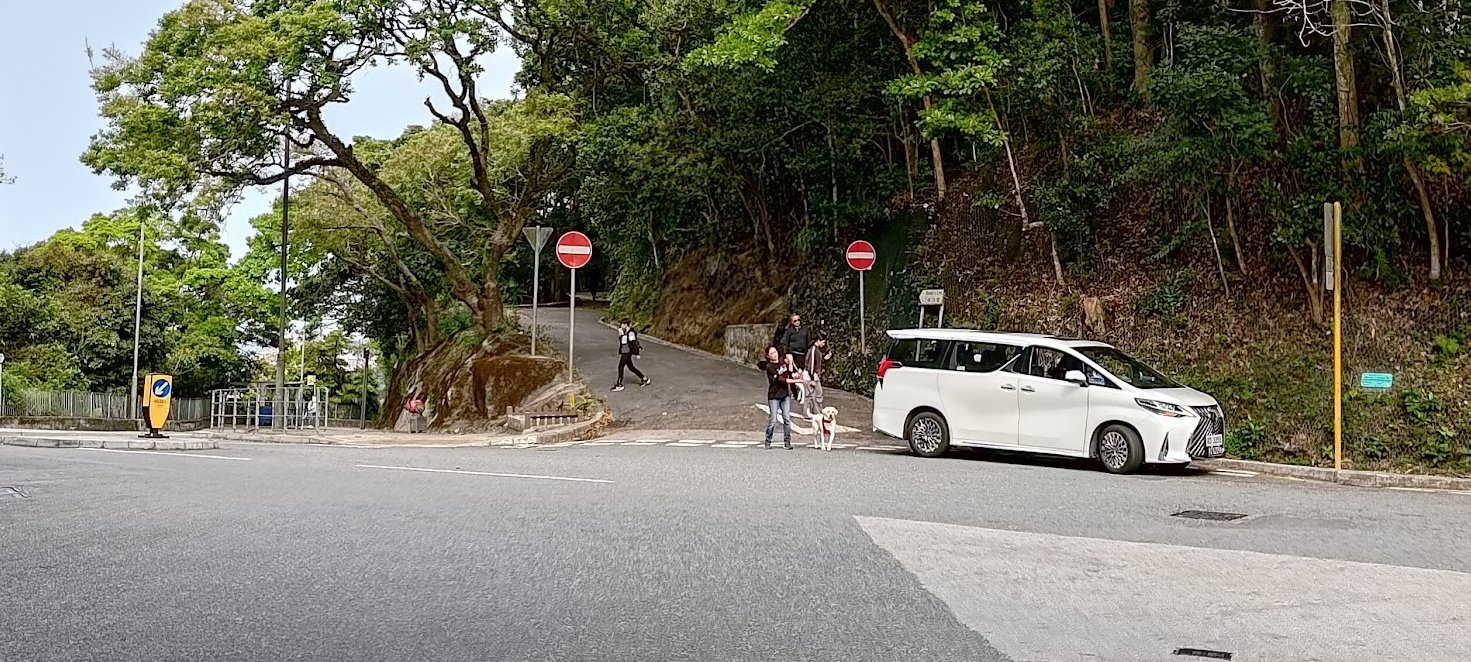
- At the next big crossroads, cross the street to Coombe Road
- Follow Coombe Road all the way down until the next crossroad. Directly opposite is Black's Link. Follow that road.
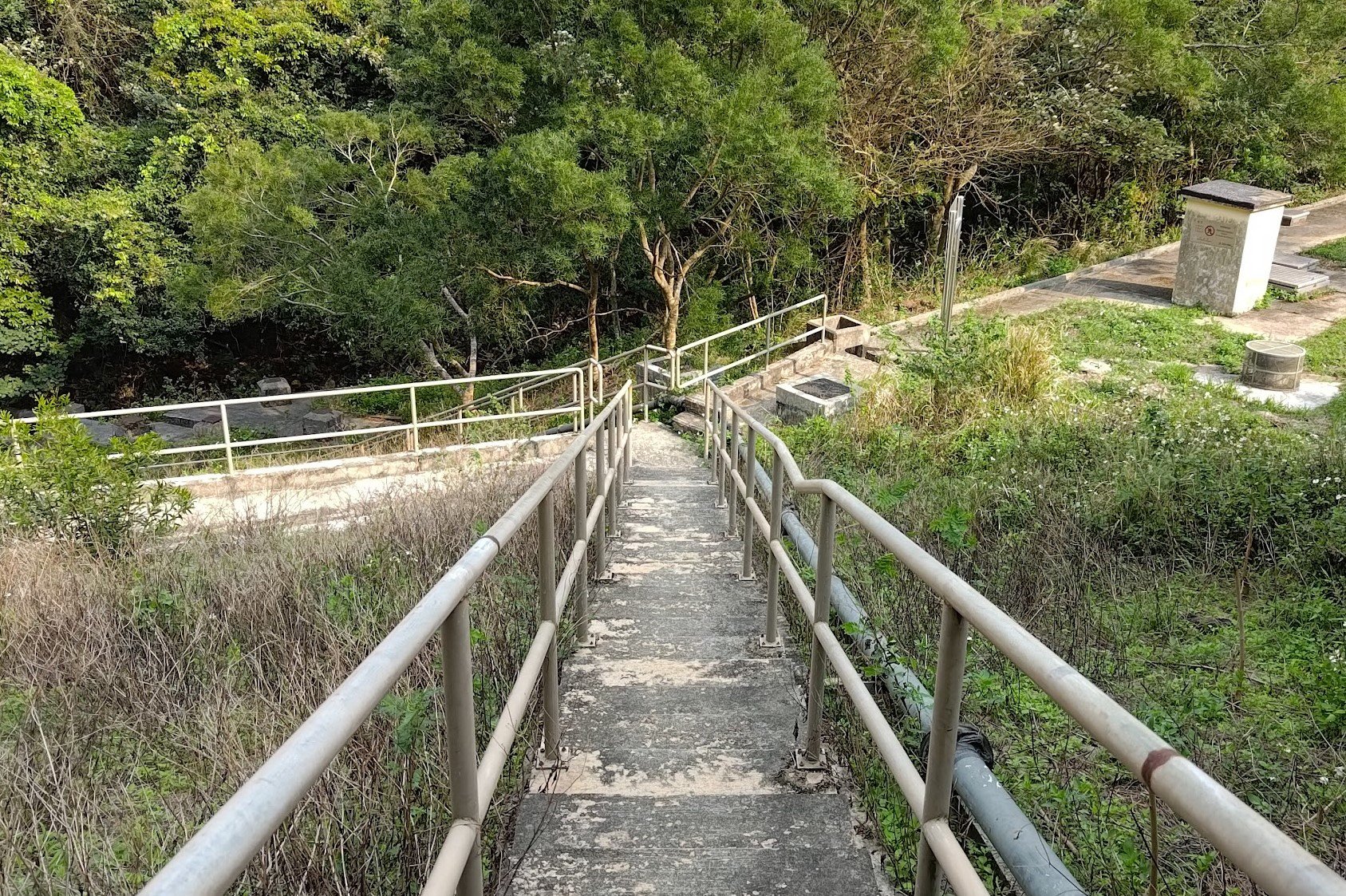
- Follow Black's Link until you see some maintenance stairs on the left with grey railings around it
- Follow the maintenance stairs all the way down, past the white fence and to the wall of a property
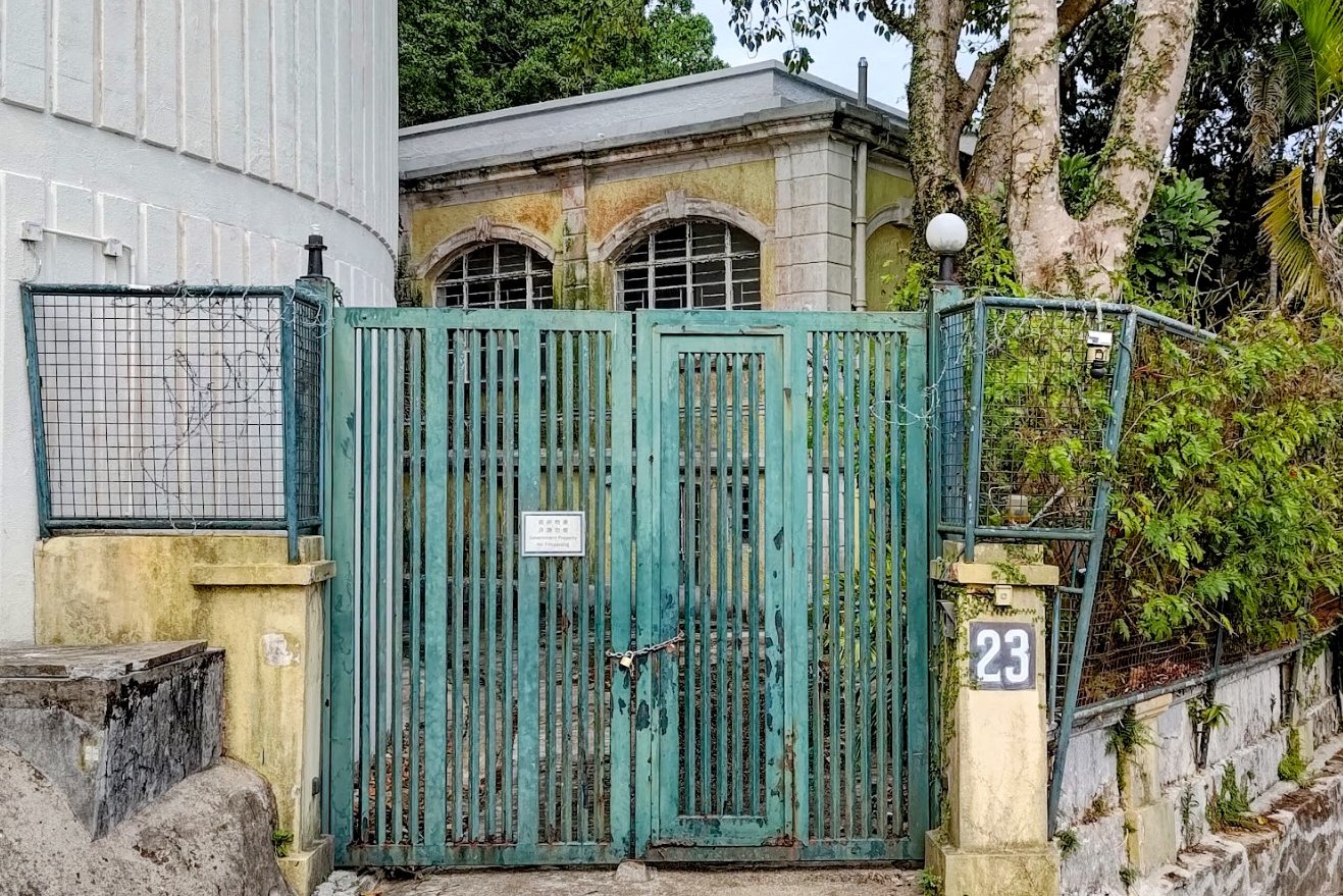
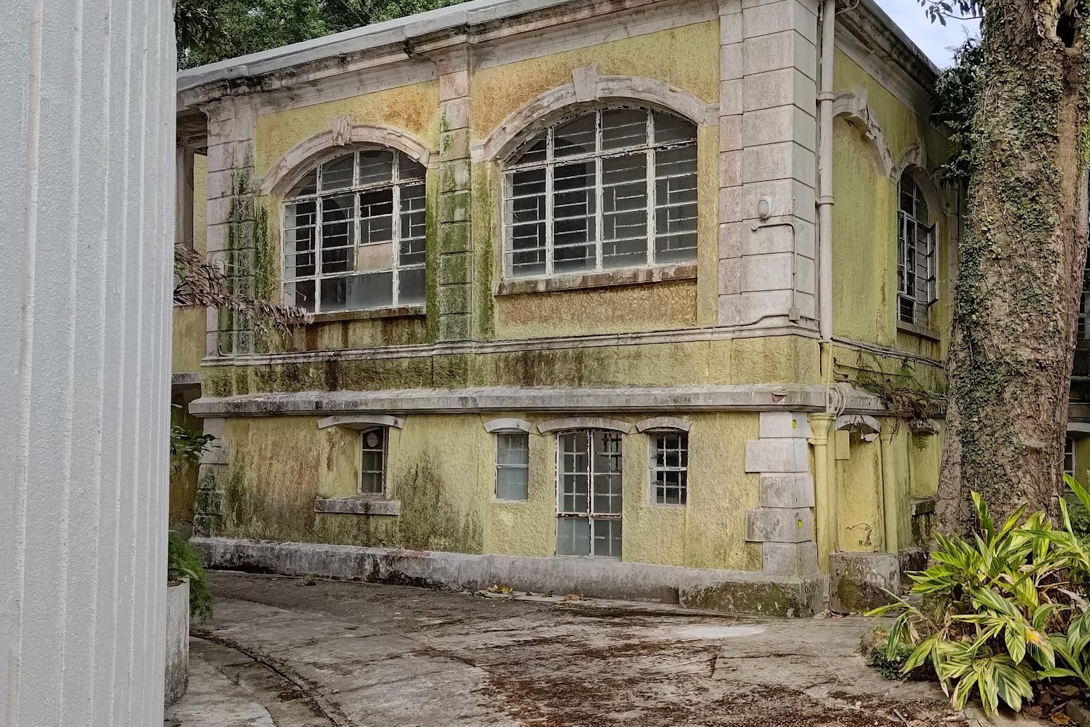
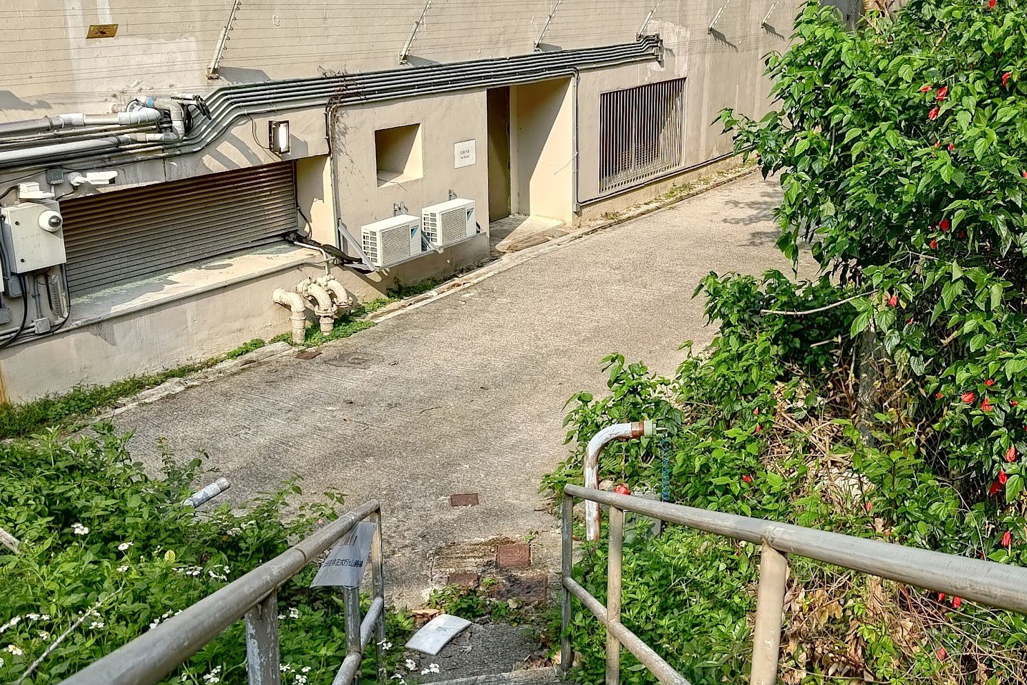
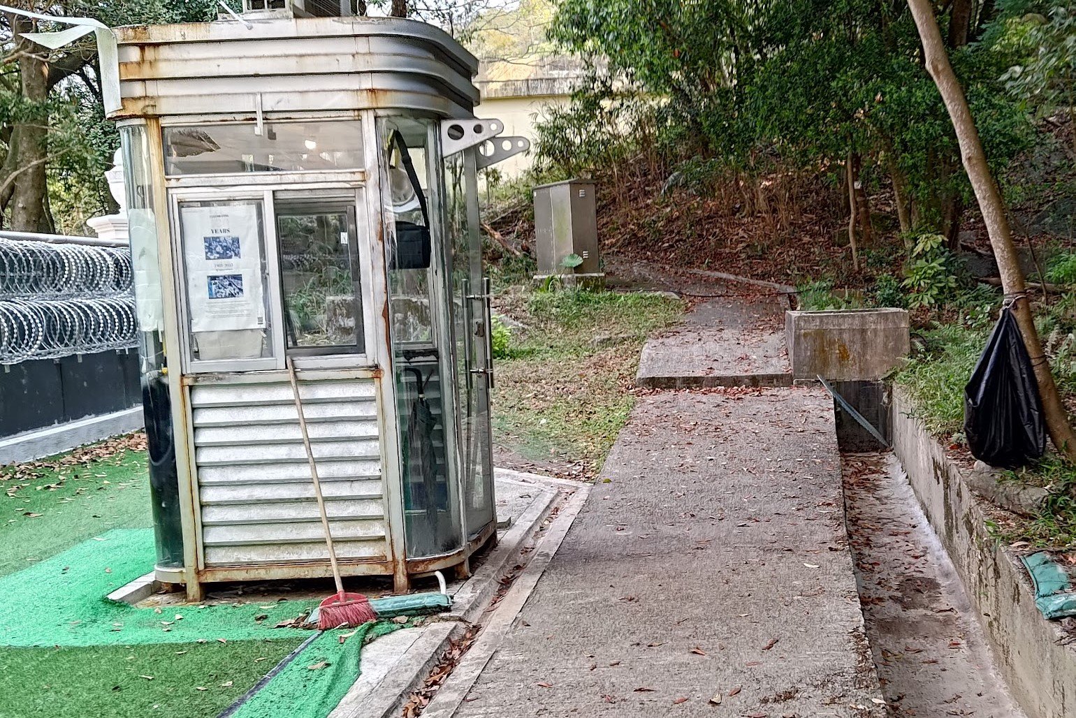
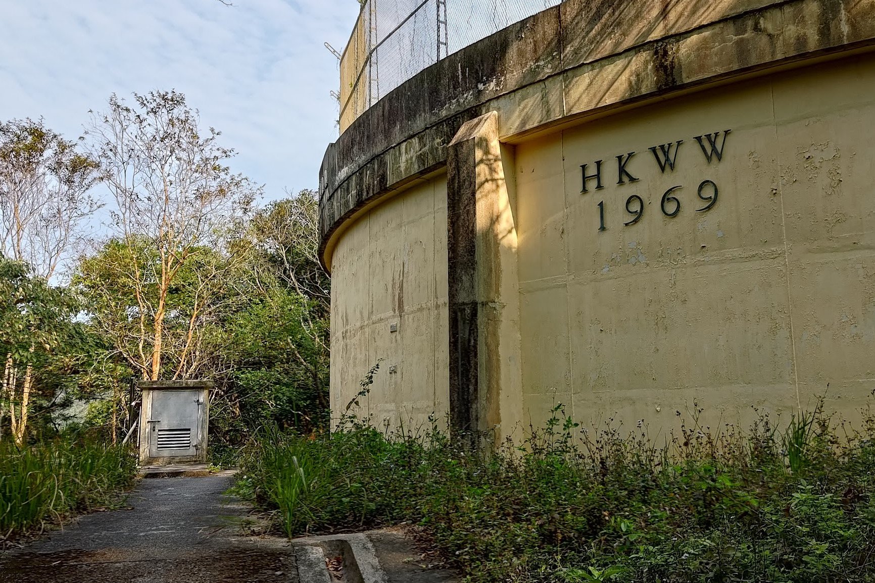
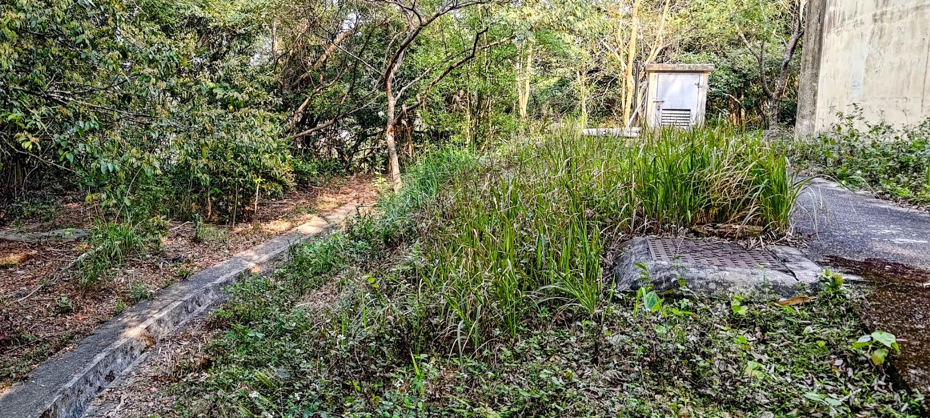
- You will see an abandoned guard hut and a big HKWW 1969 structure. To the left of the HKWW 1969 structure is a water drain (looks like a long, shallow concrete trench)
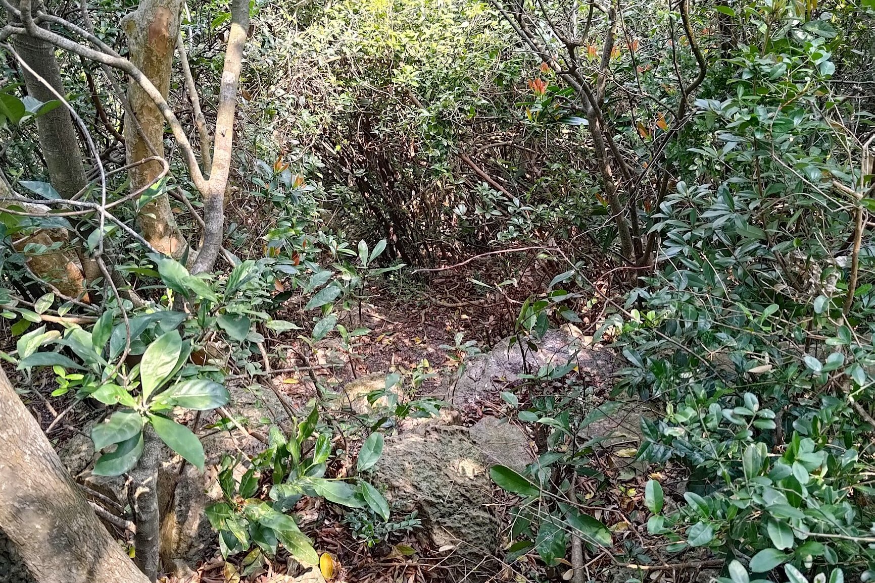
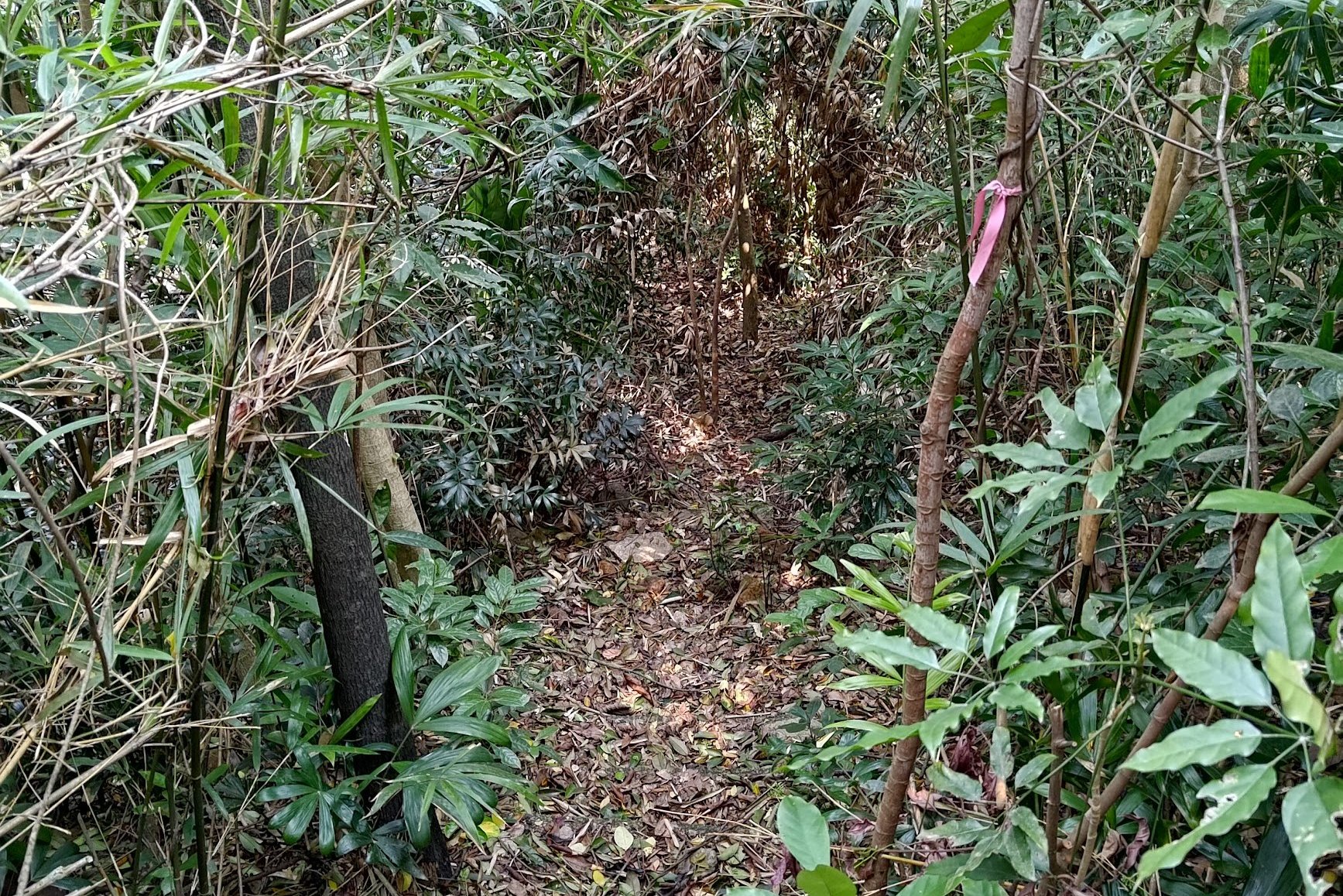
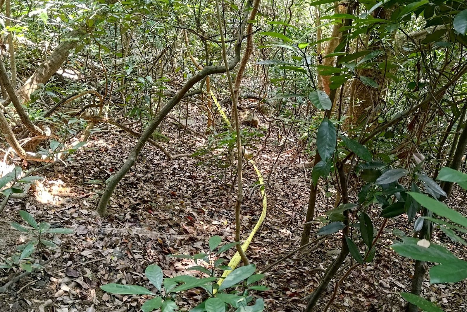
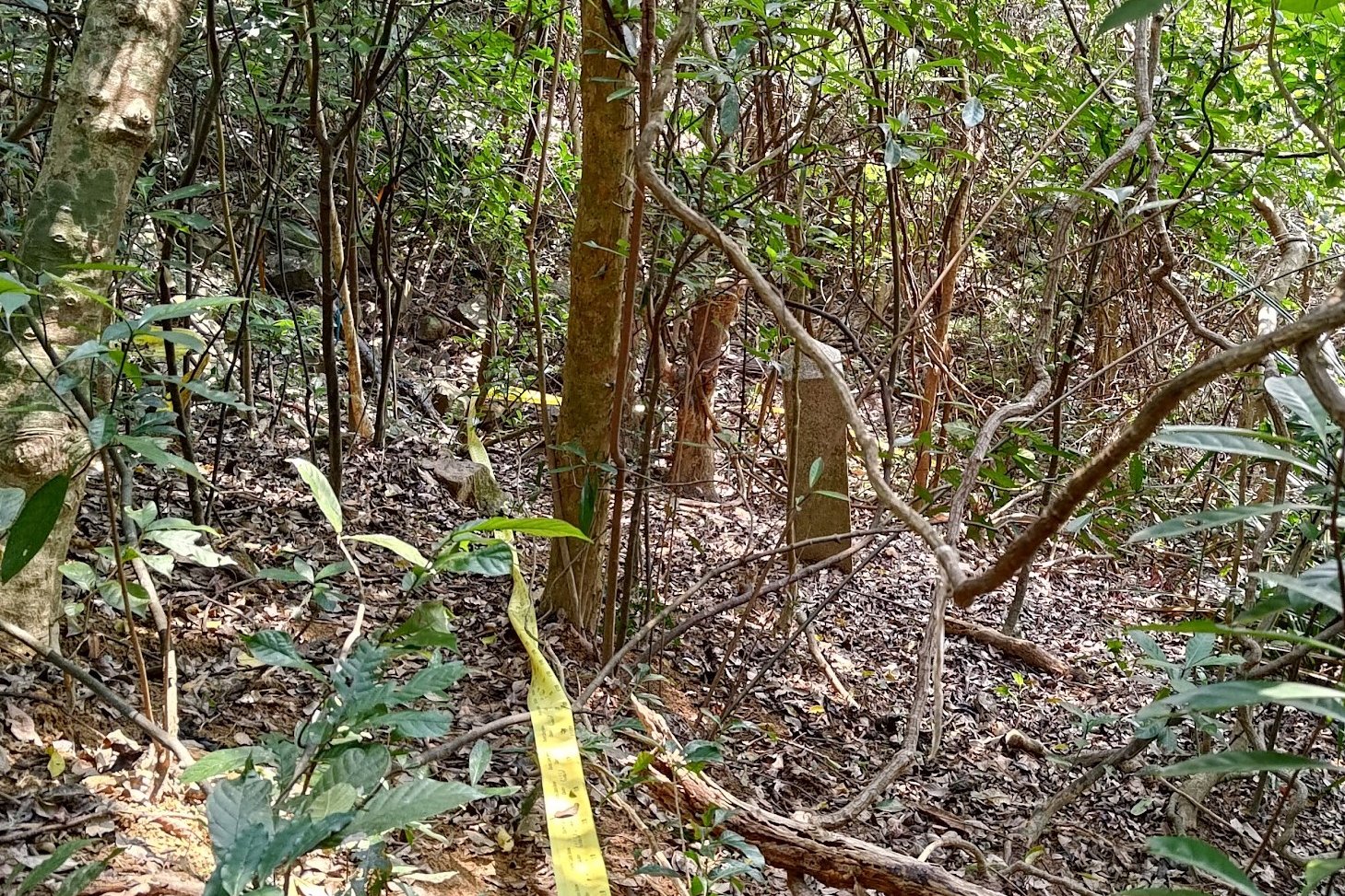
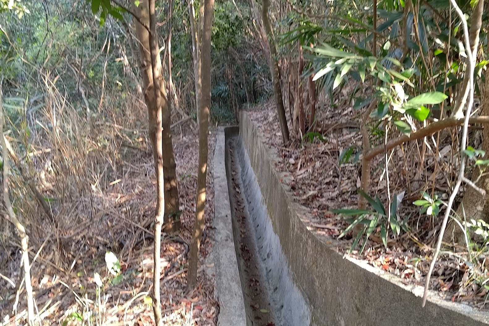
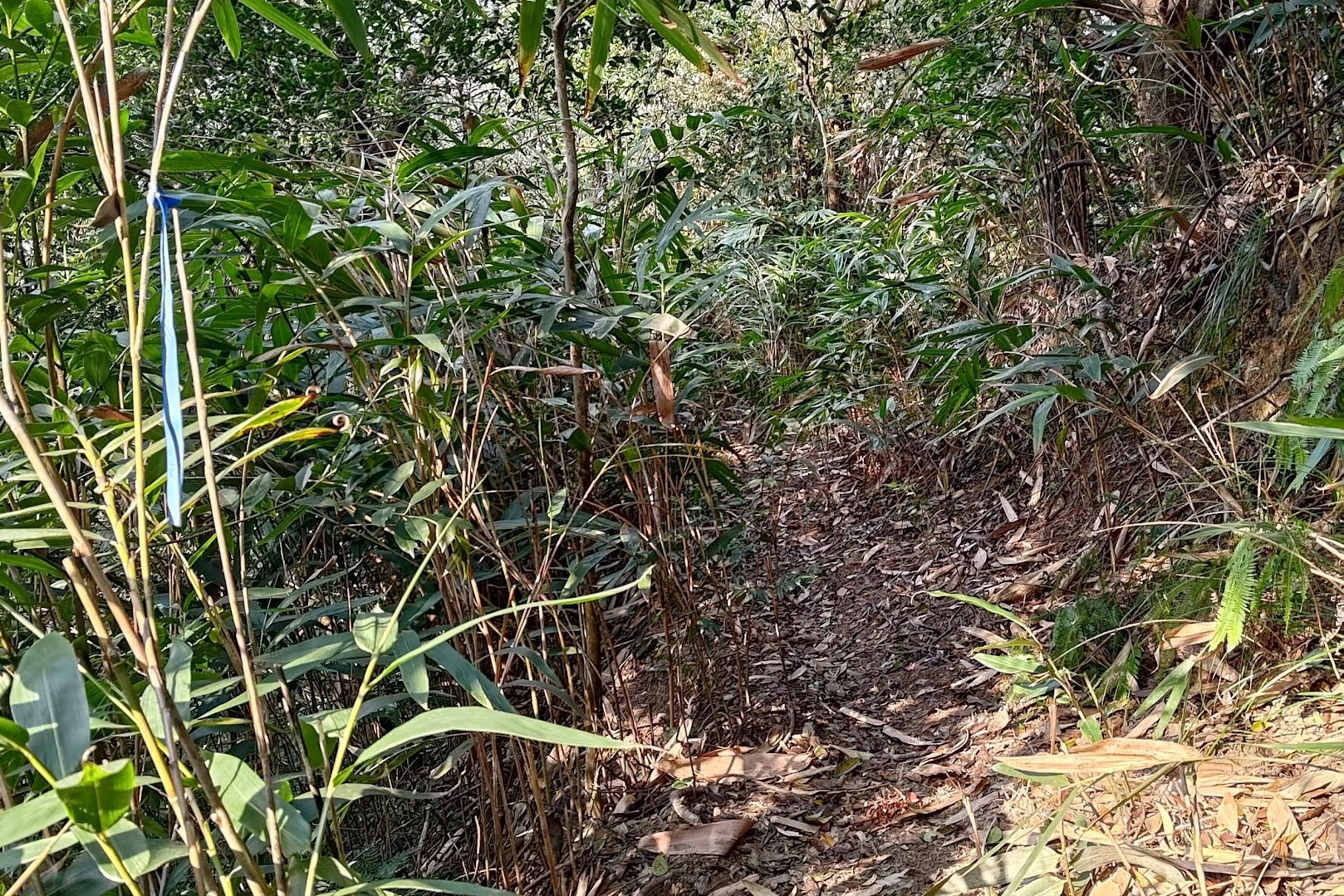
- Follow it into the forest (you will see ribbons on the trees as you follow the drain
- Head over the pile of boulders and take the trail directly opposite them
- The trail is now marked by a lot more ribbons. Follow the ribbons all the way to the next boundary stone.
- After finding it, retrace your steps back to the property wall
Boundary Stone 8
- Skirt around the property until you see stairs that are part of a drainage channel. It's just past the barbed wire bit of the property
- Head down the stairs (they're overgrown and trees might actually be covering large chunks of them
- At the bottom of the stairs, you'll see loads of rocks and a small body of water trickling down them. You want to go left across the rocks. There's a proper path somewhere on the left.
- I ended up going down the right side of the rocks and got super lost. At the bottom, I took a left, crossed the rocks, and had to climb back up for a while before finding the path out
- You will emerge past some fences at the Rosaryhill DSHK school
- Head down to Stubbs Road, cross the street and take the stairs down on the other side of the street.
- At the bottom of the stairs on Bowen Road is the next boundary stone
Boundary Stone 9
- Follow Bowen Road to its end (right after going down the stairs)
- Cross Stubbs Road at the end of Bowen Road and follow the silver sign pointing to the Green Lane Service Reservoir Sitting Out Area
- A few meters ahead will be a cream colored fence. The gate will be open. Turn in and take the stairs all the way down to the Green Lane Service Reservoir Sitting Out Area (it's a park with a running track)
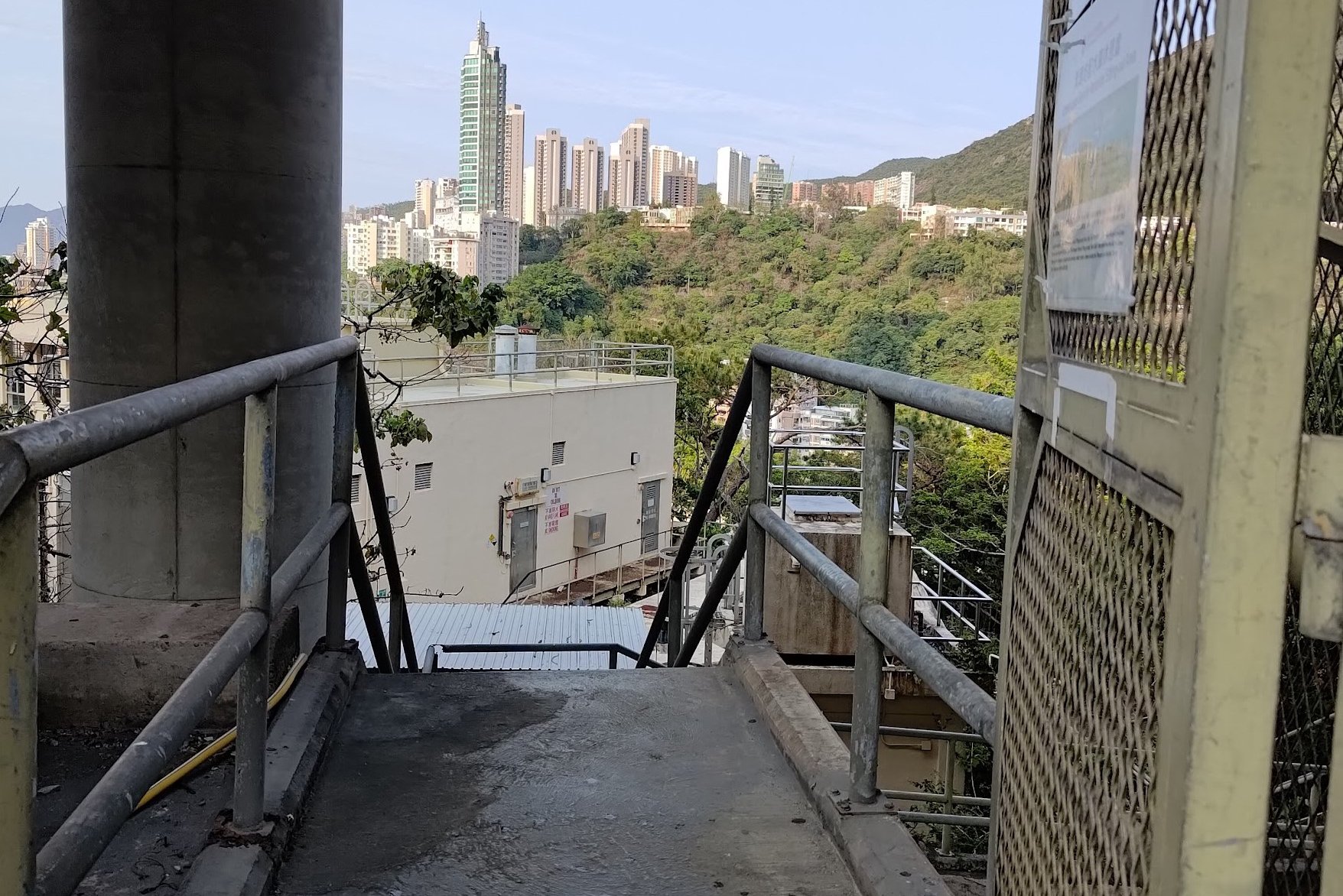
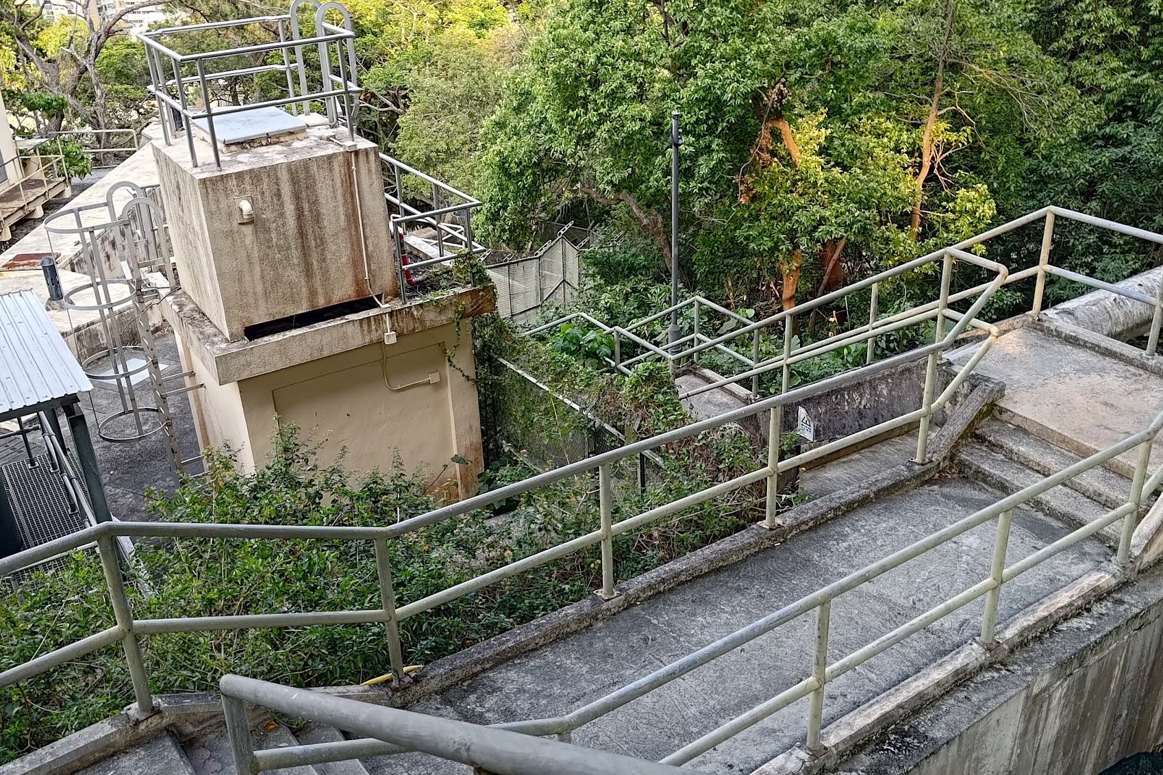
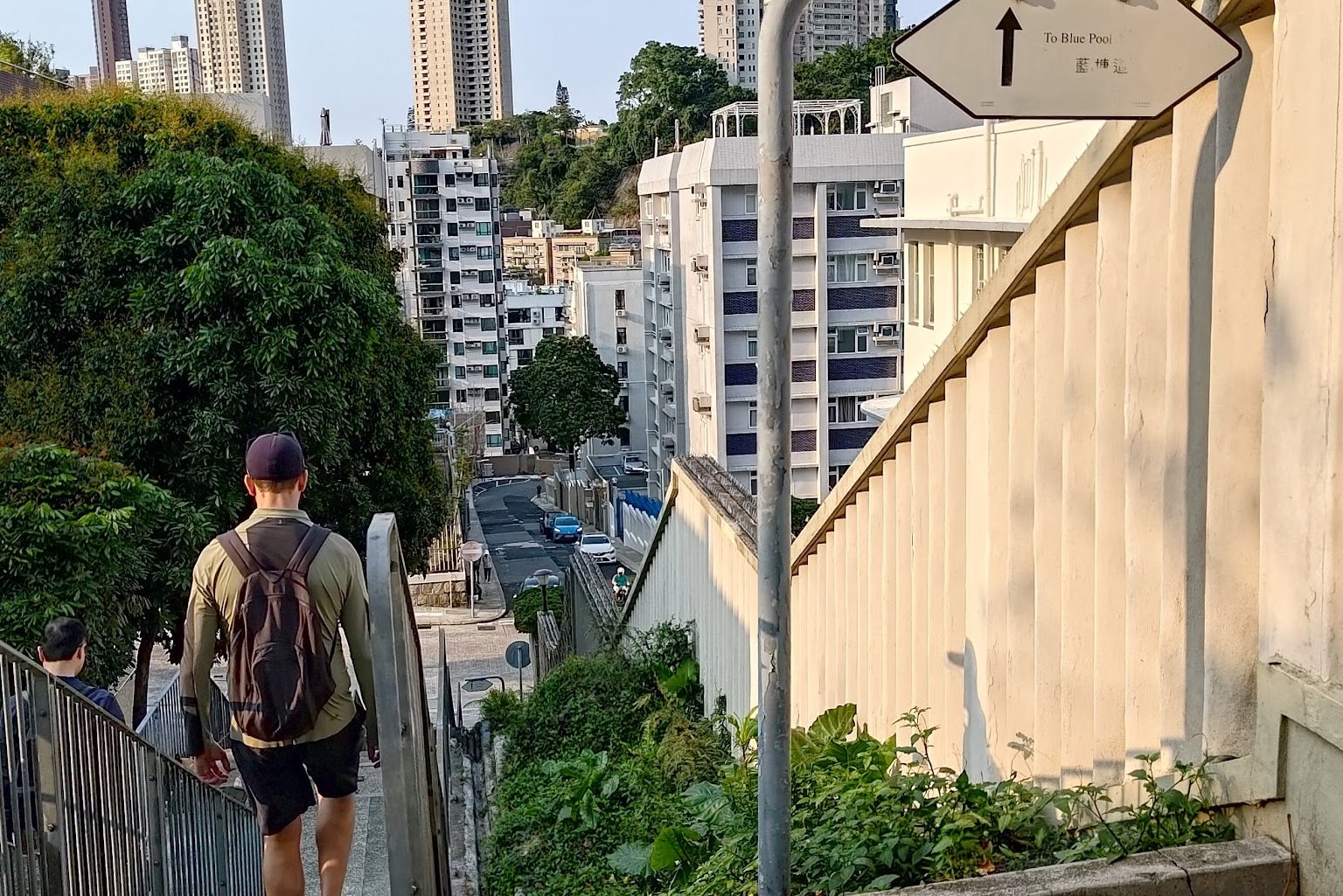
- Exit the park from its opposite end and take a left down the stairs when you see the sign saying To Blue Pool Road
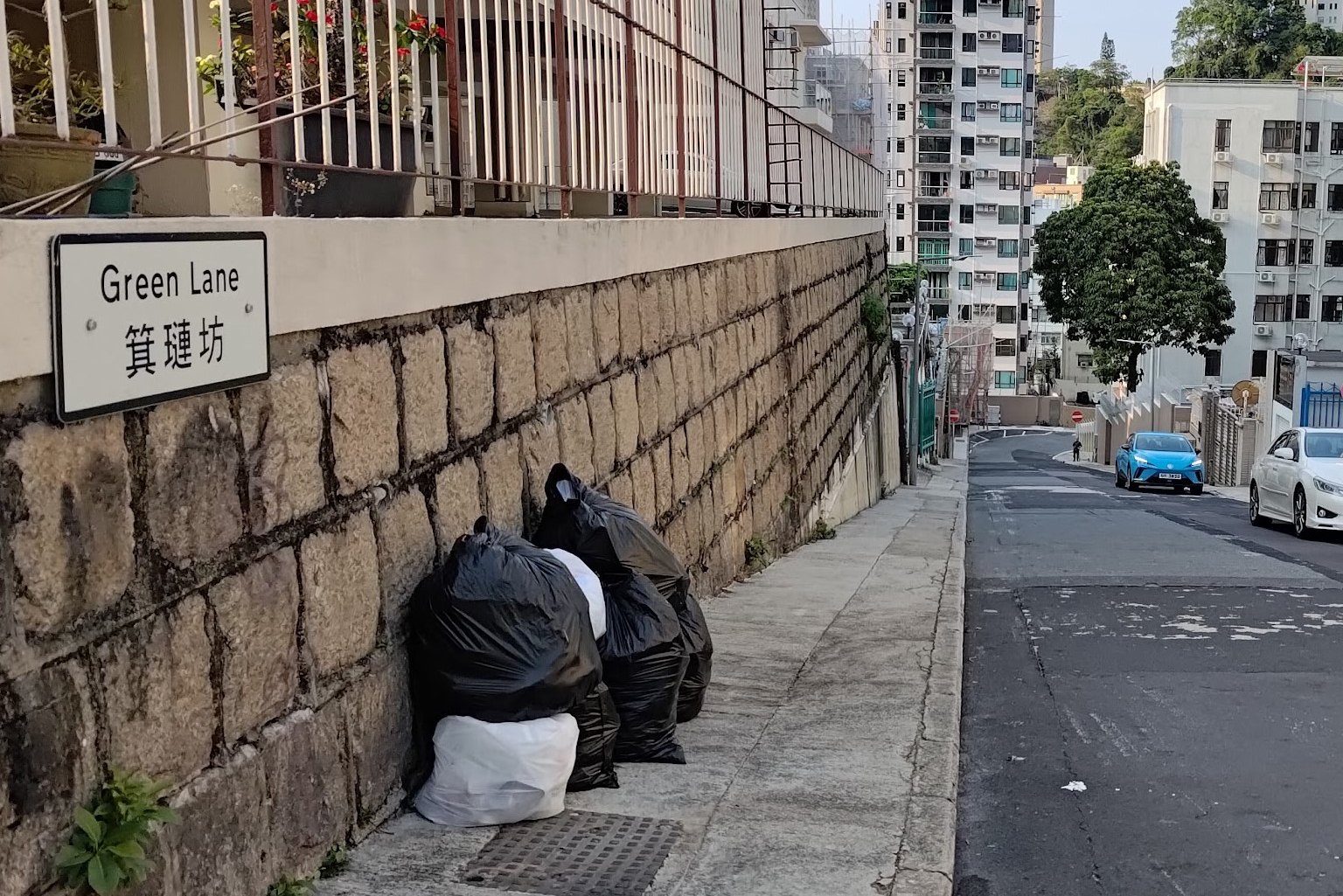
- Follow all the stairs down (with the To Blue Pool Road signs) and continue forward into Green Lane
- Green Lane winds right after which you will arrive at Blue Pool Road
- Go Left (downward direction) and you will merge with Sing Woo Road
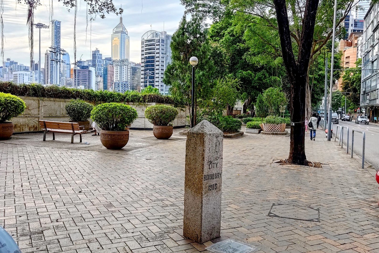
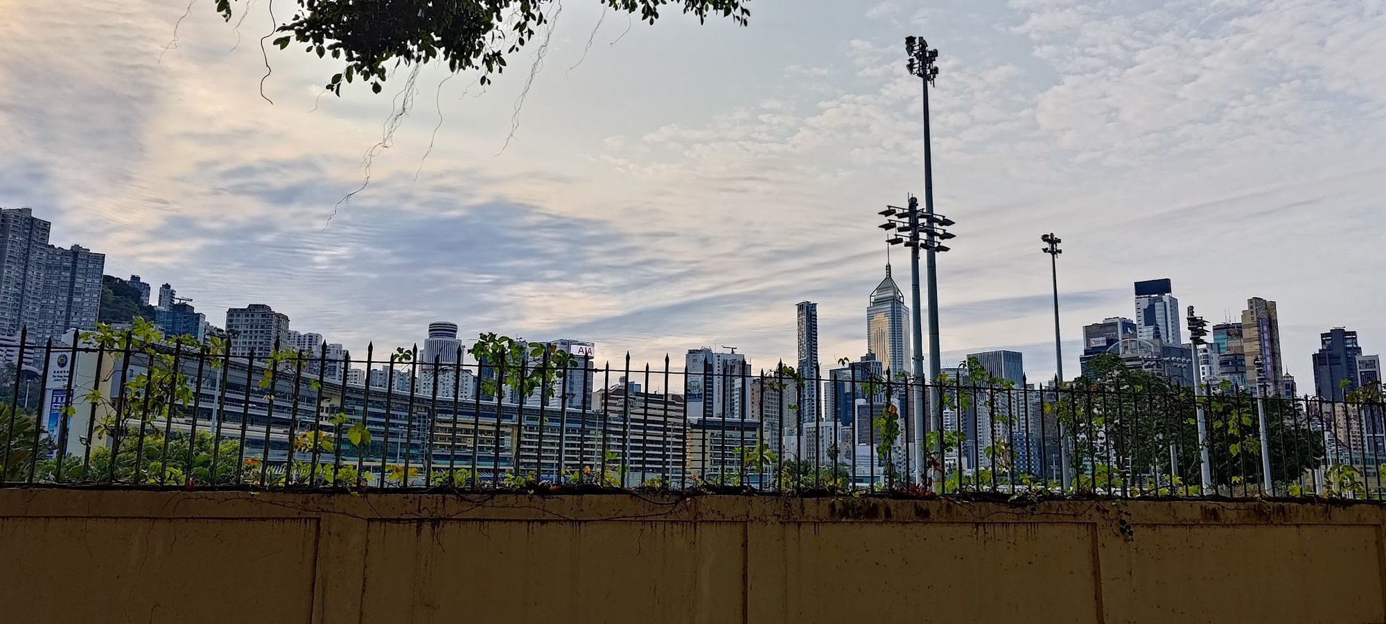
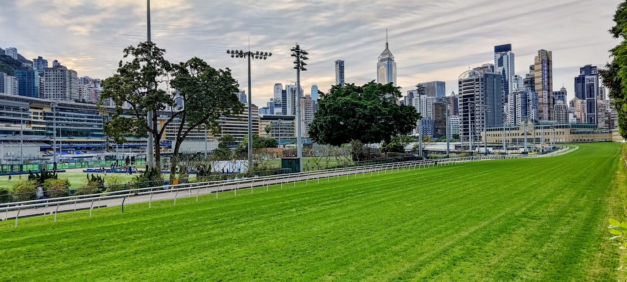
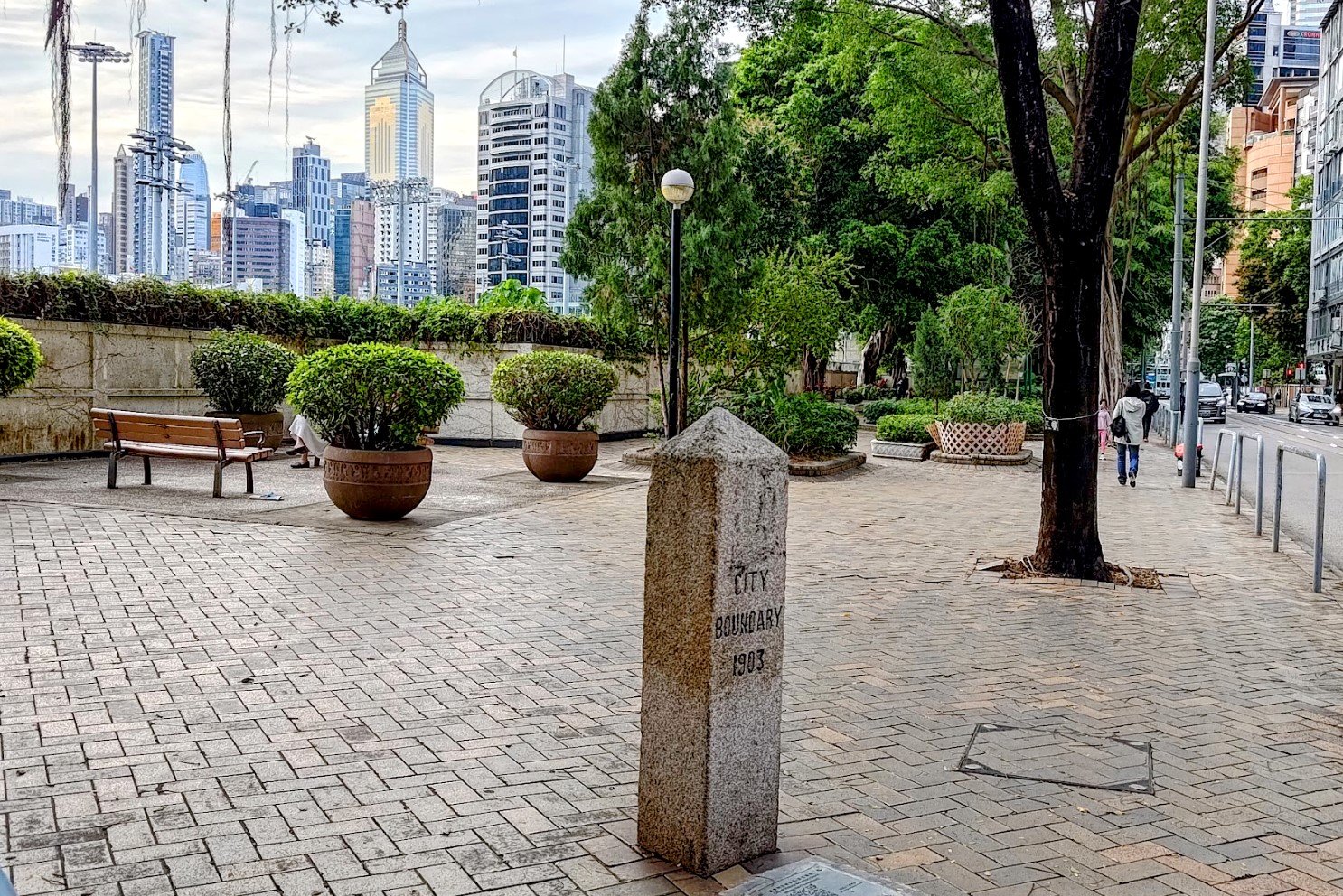
- At the bottom of Sing Woo Road, cross the street and you'll be at the Happy Valley Racecourse on Wong Nai Chung Road
- Go right after the crossing and follow Wong Nai Chung Road around the perimeter of the racecourse. You'll find the next boundary stone a short distance away beside the racecourse
Getting to the MTR
- At the end of Wong Nai Chung Road, cross the road and turn onto Matheson Street.
- You will find the Times Square MTR exit of Causeway Bay Station a little further down Matheson Street
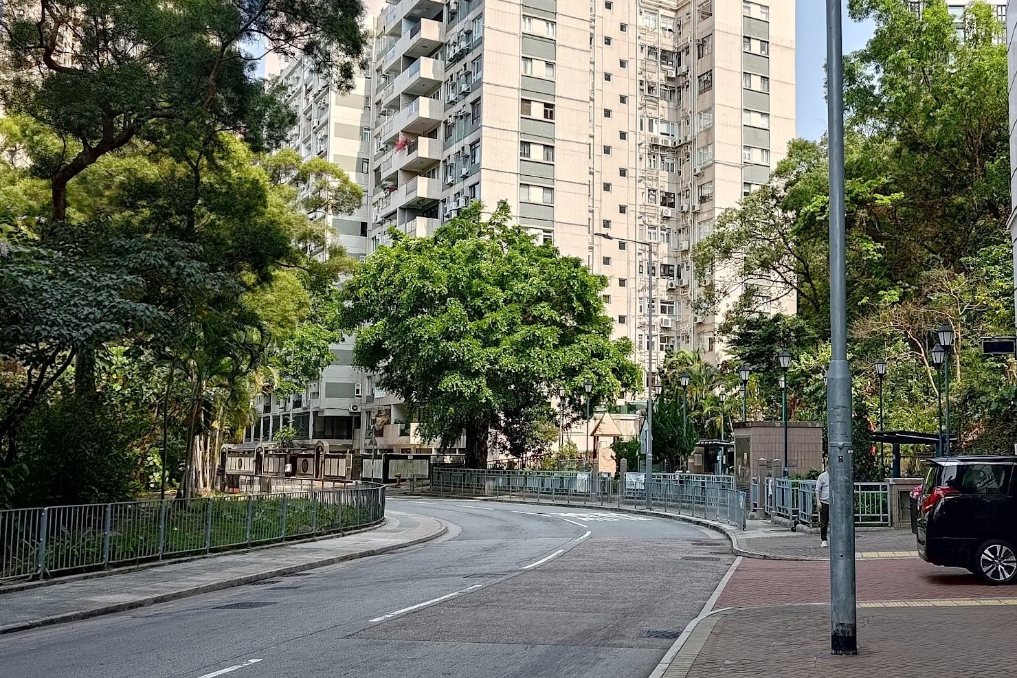
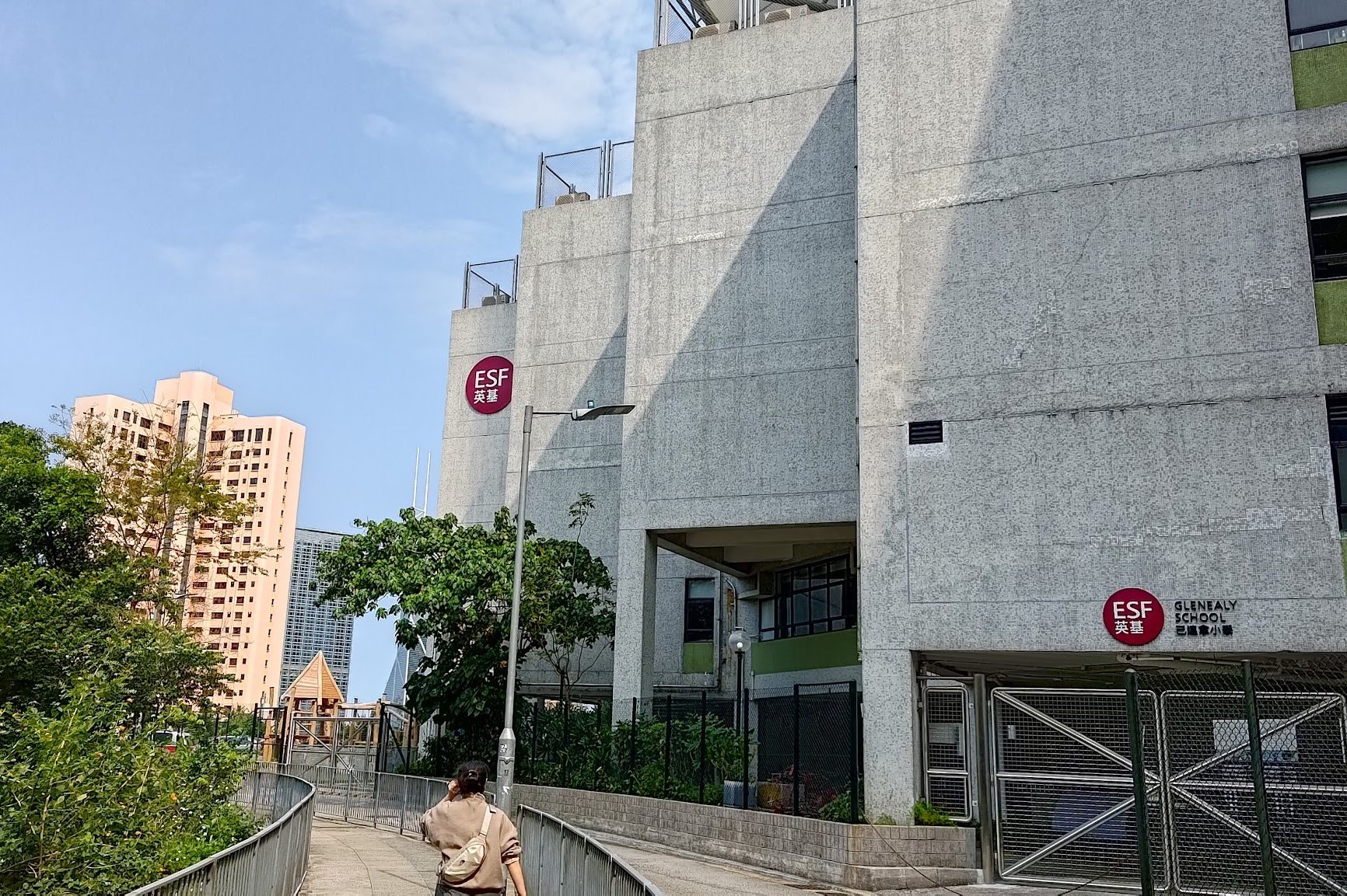
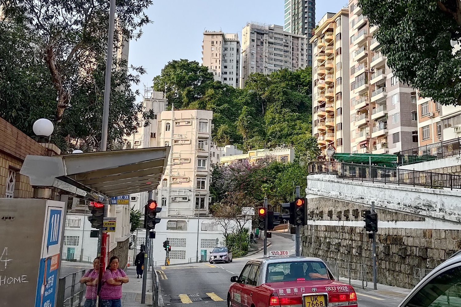
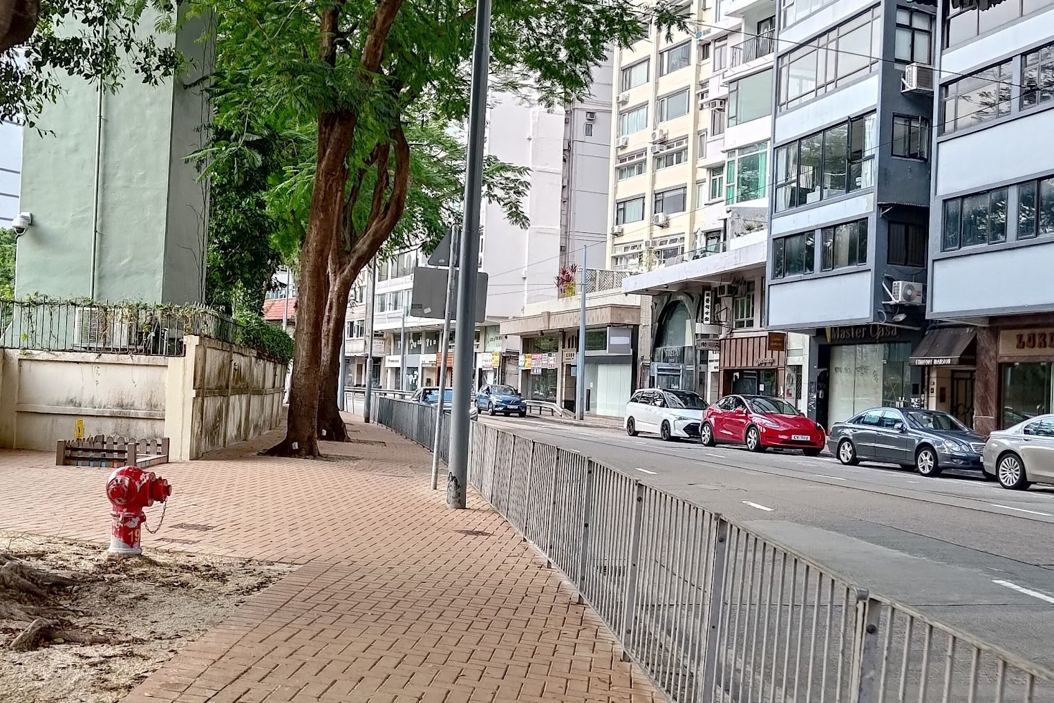
Kennedy Town MTR to Boundary Stone 1

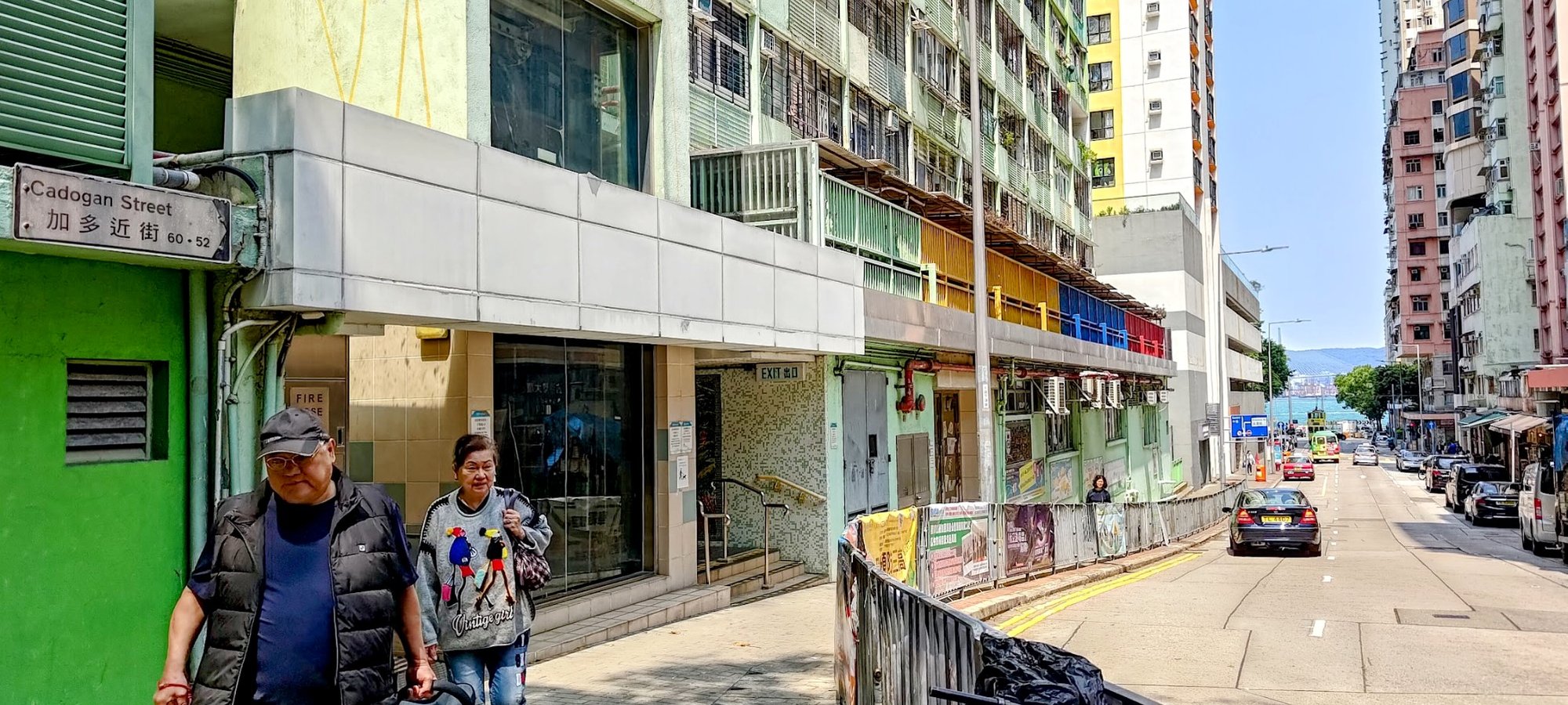
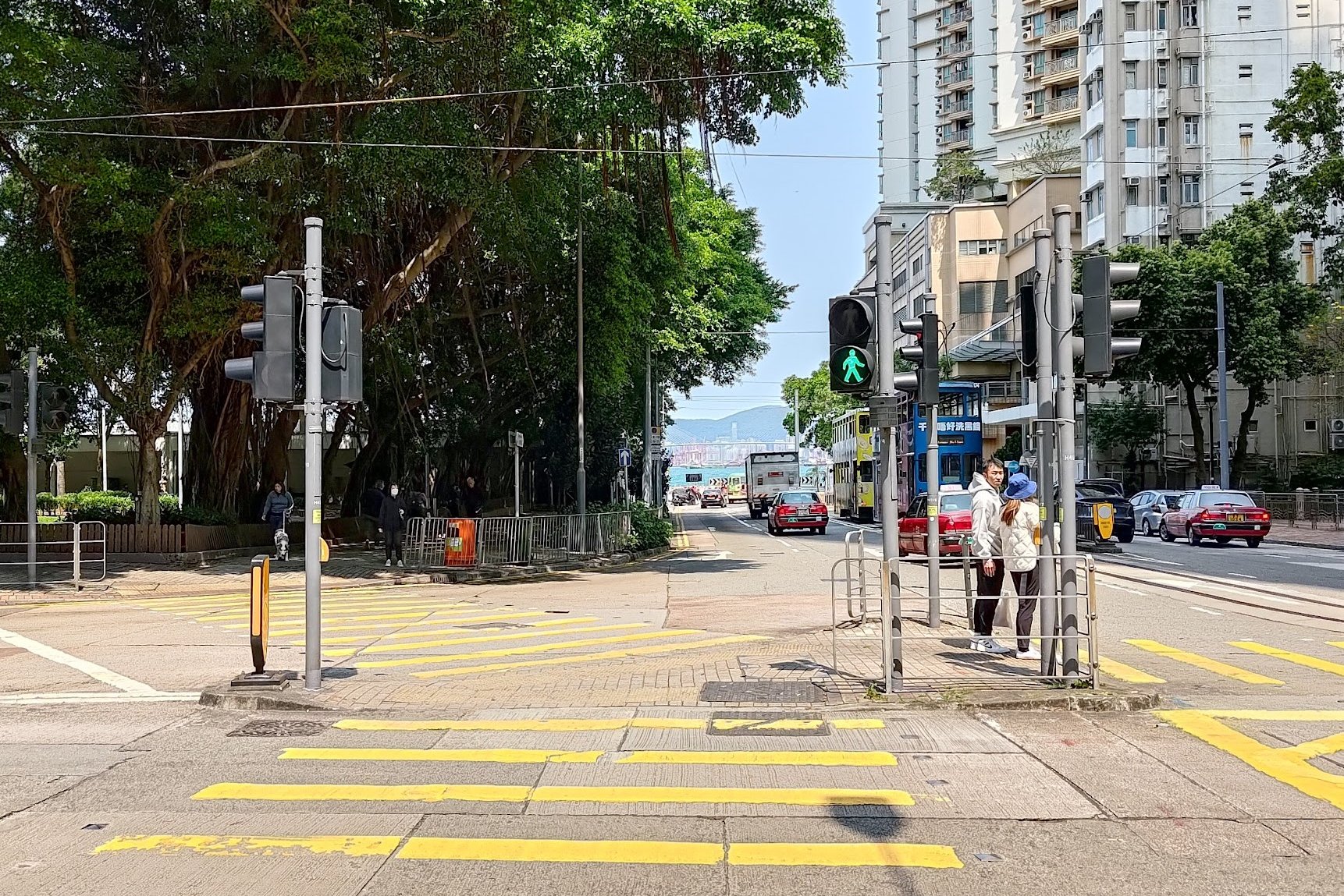
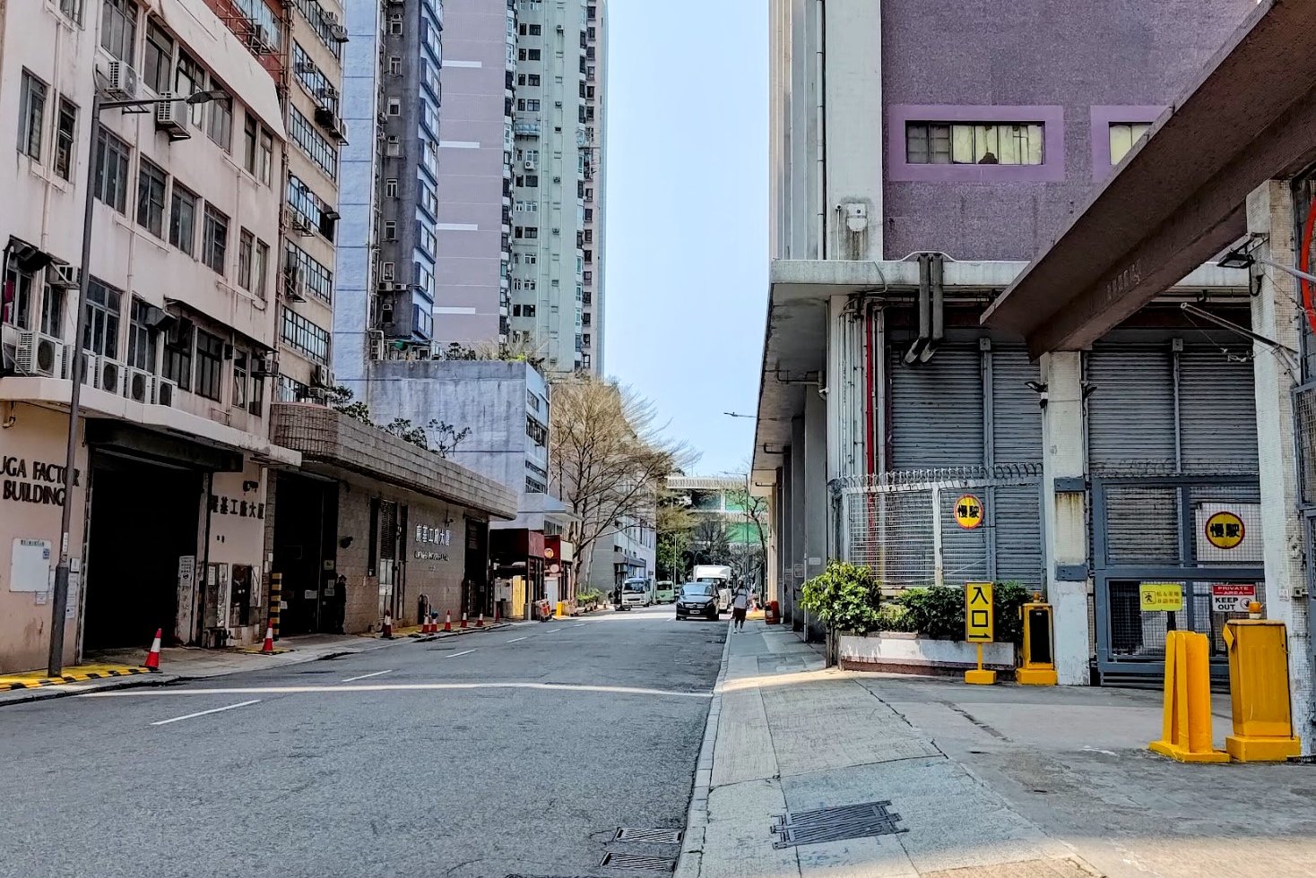
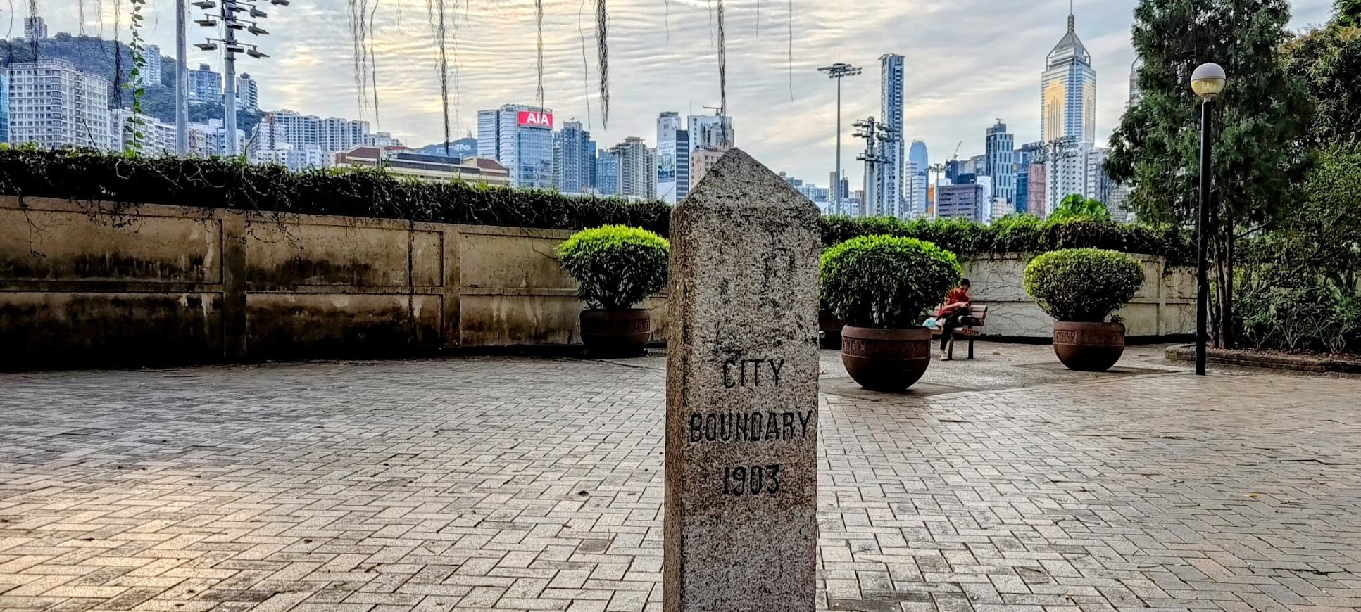
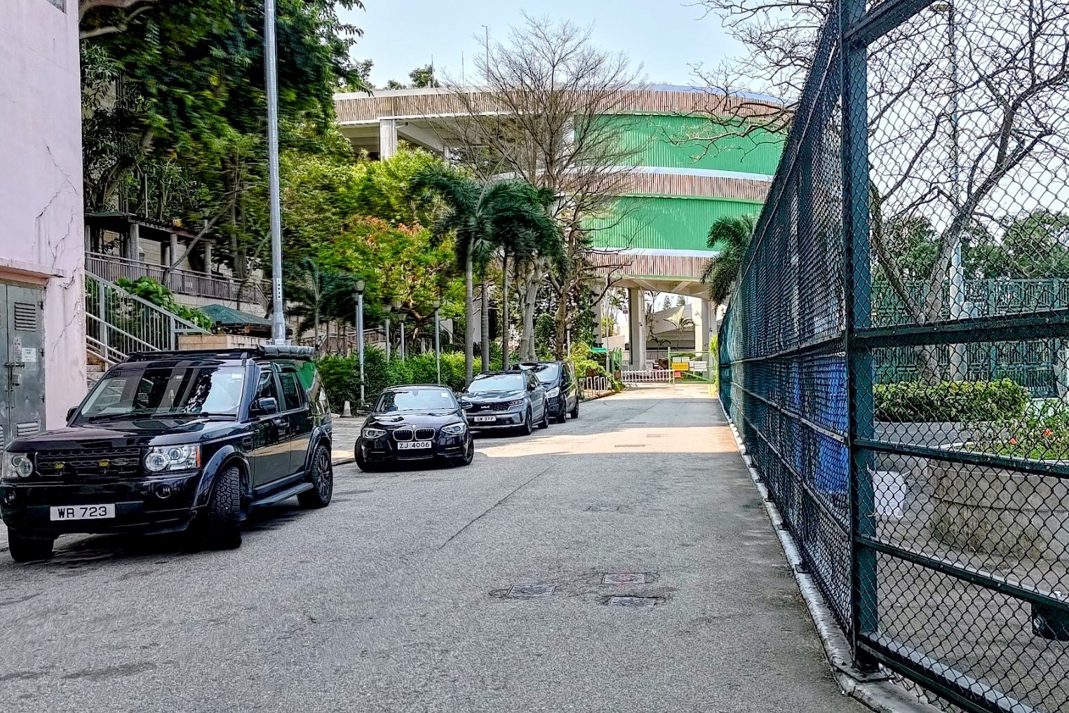
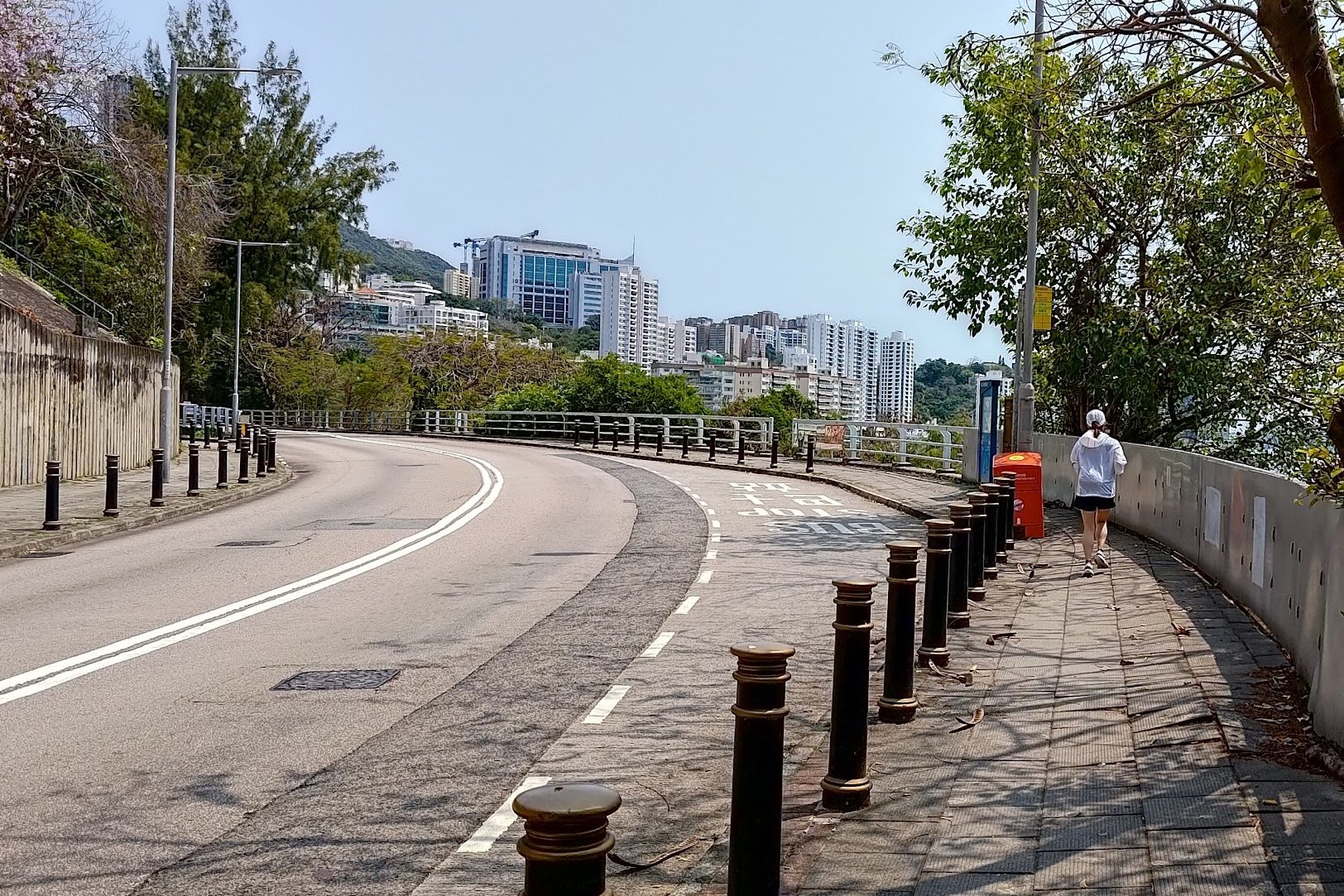
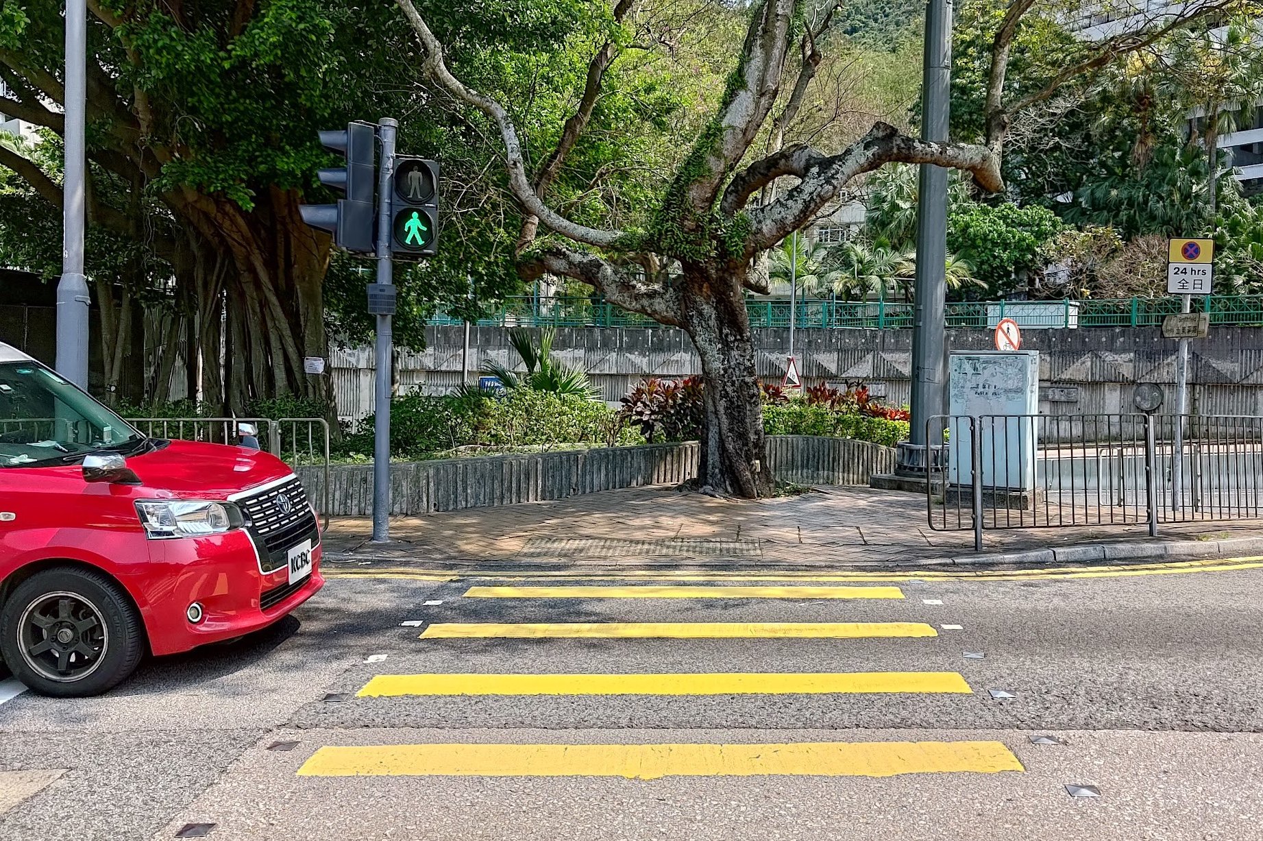
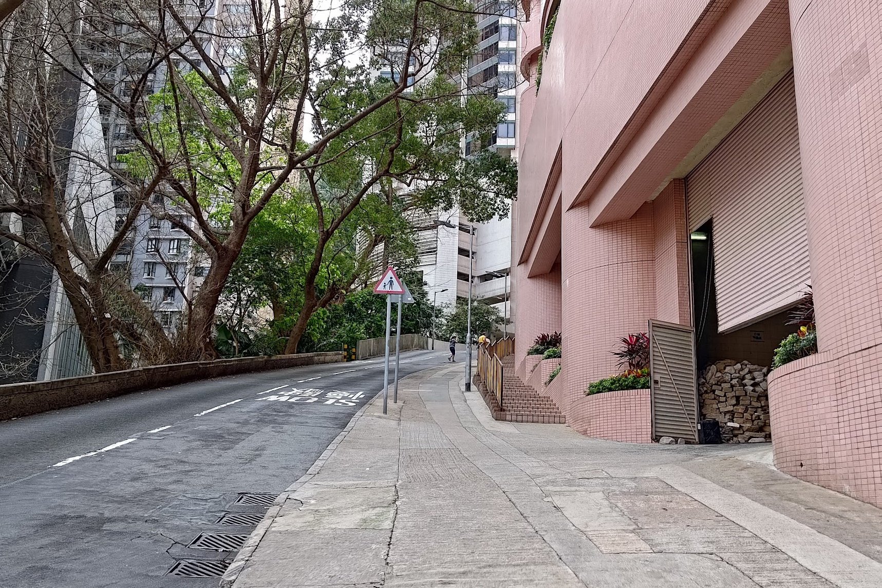
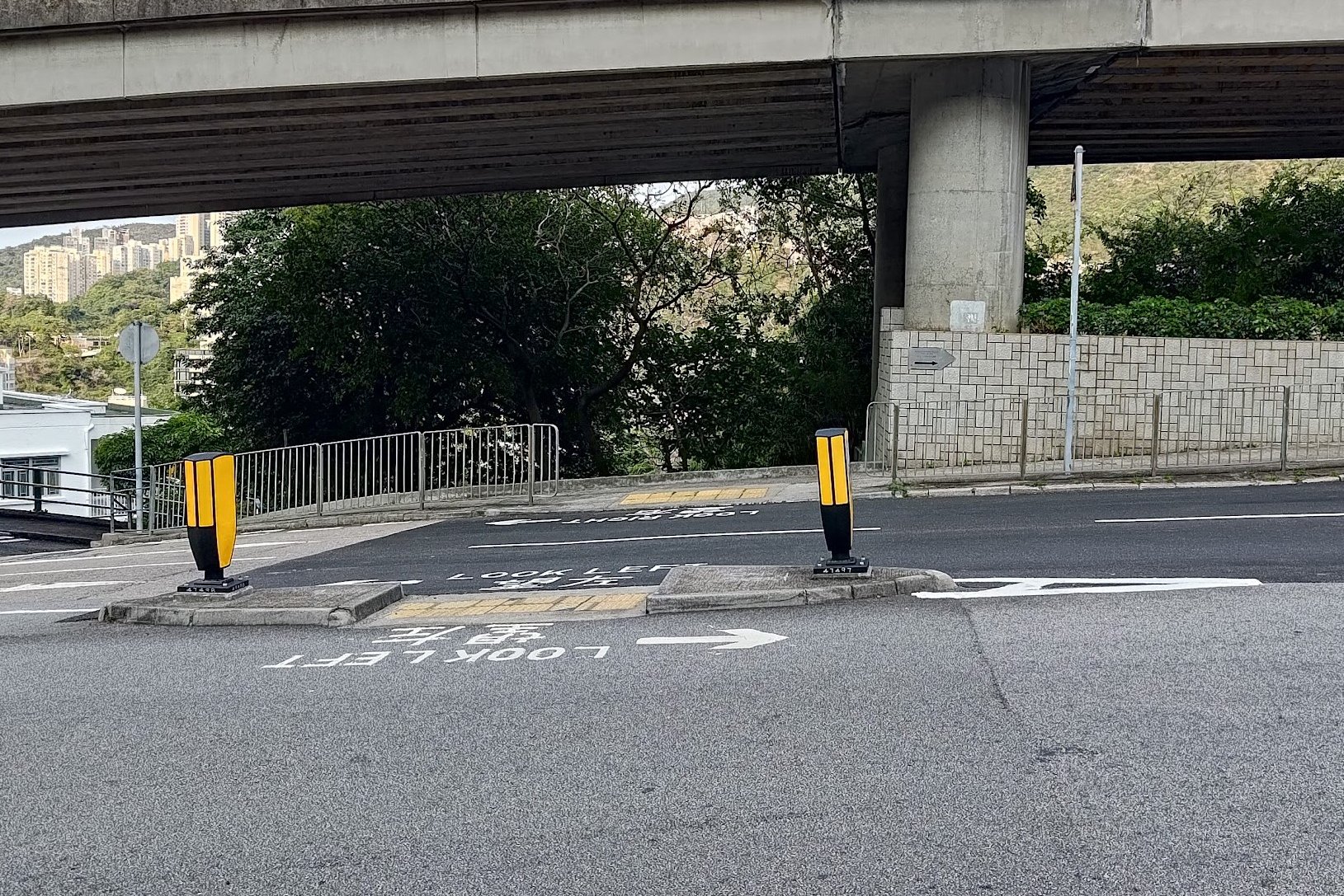
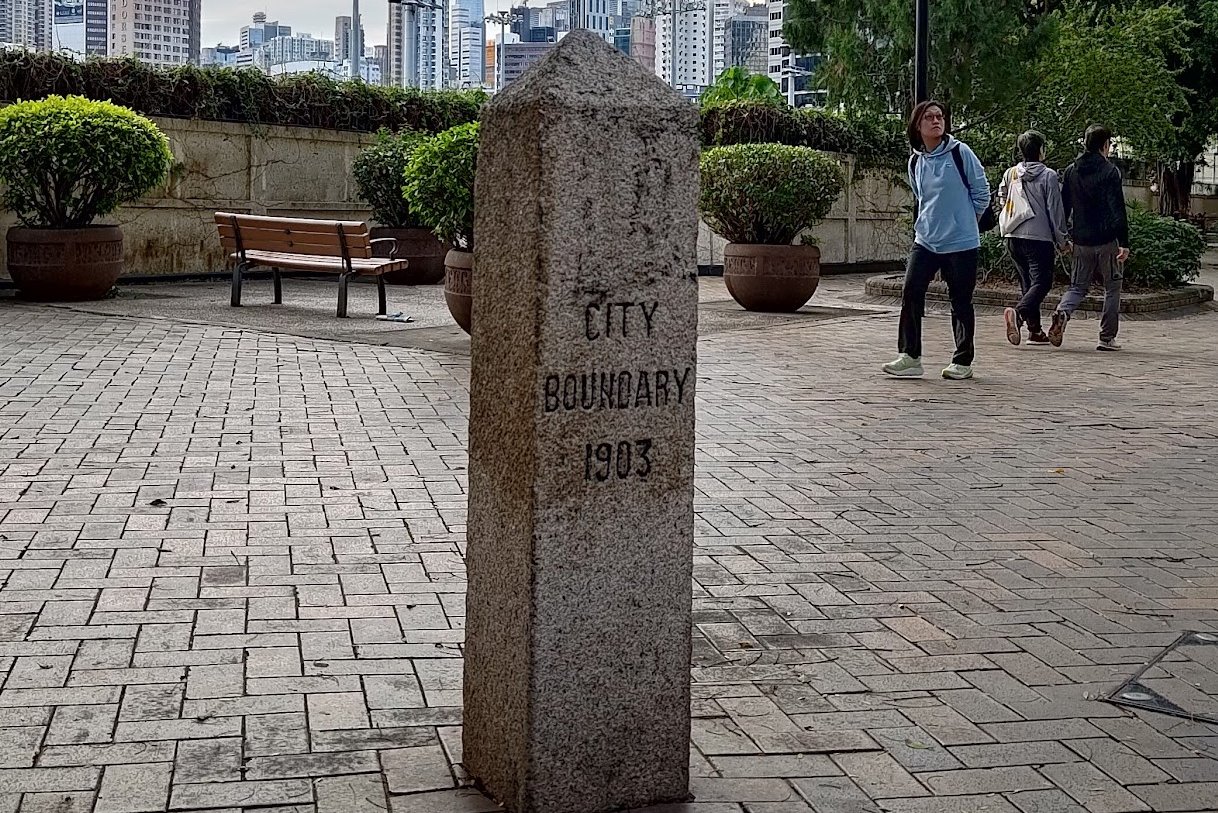
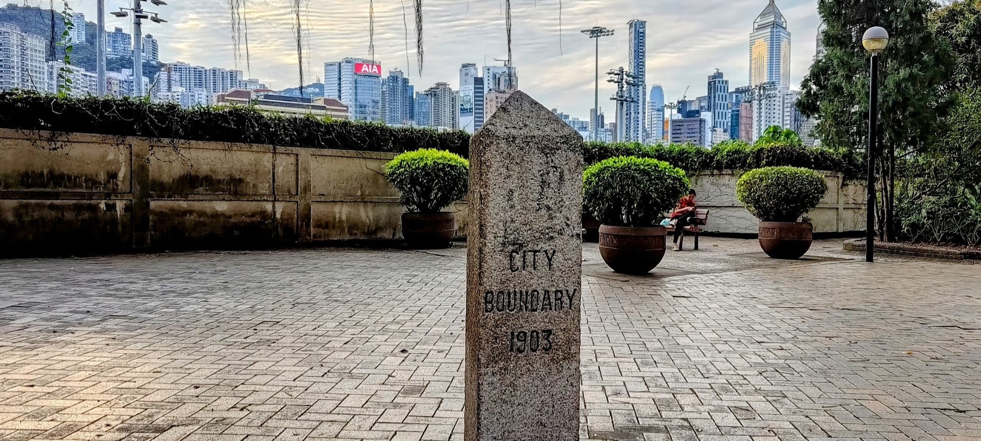
The first boundary stone is quite easy to locate and reach. After exiting Kennedy Town MTR Station through Exit C, you'll walk down Forbes Street and then Cadogan Street.
You'll then cross the road and turn left on Victoria Road before taking a right on Sai Ning Street.
At the very end of Sai Ning Street is the Kennedy Town Temporary Recreation Ground, within which you'll find the first boundary stone.
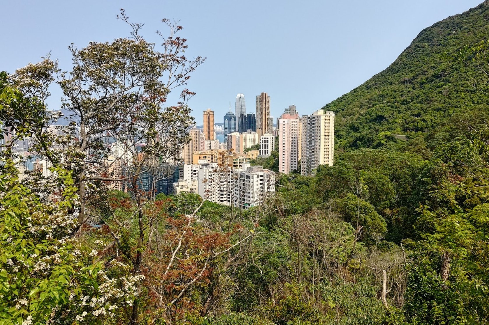
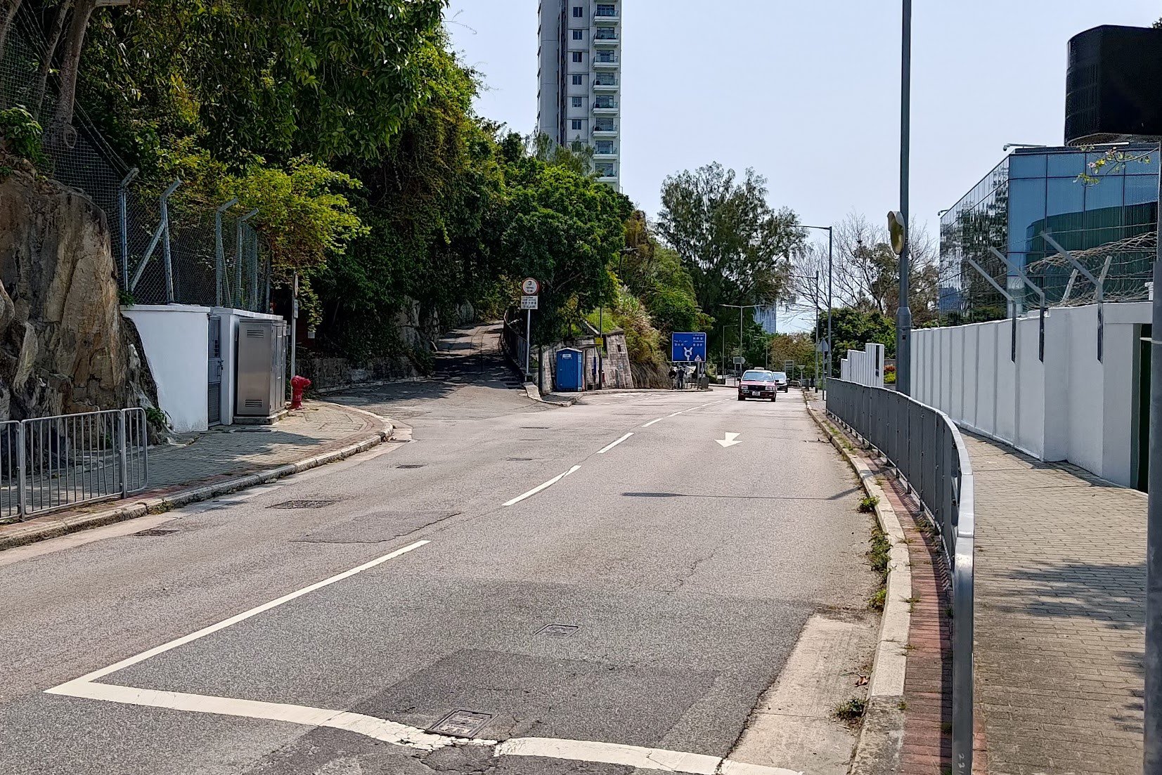
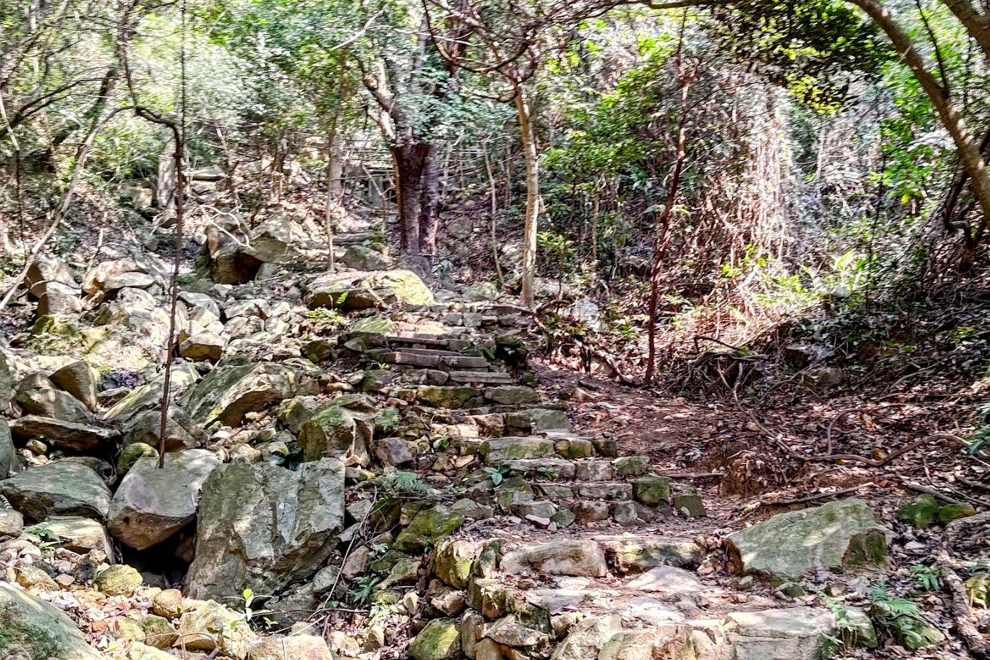
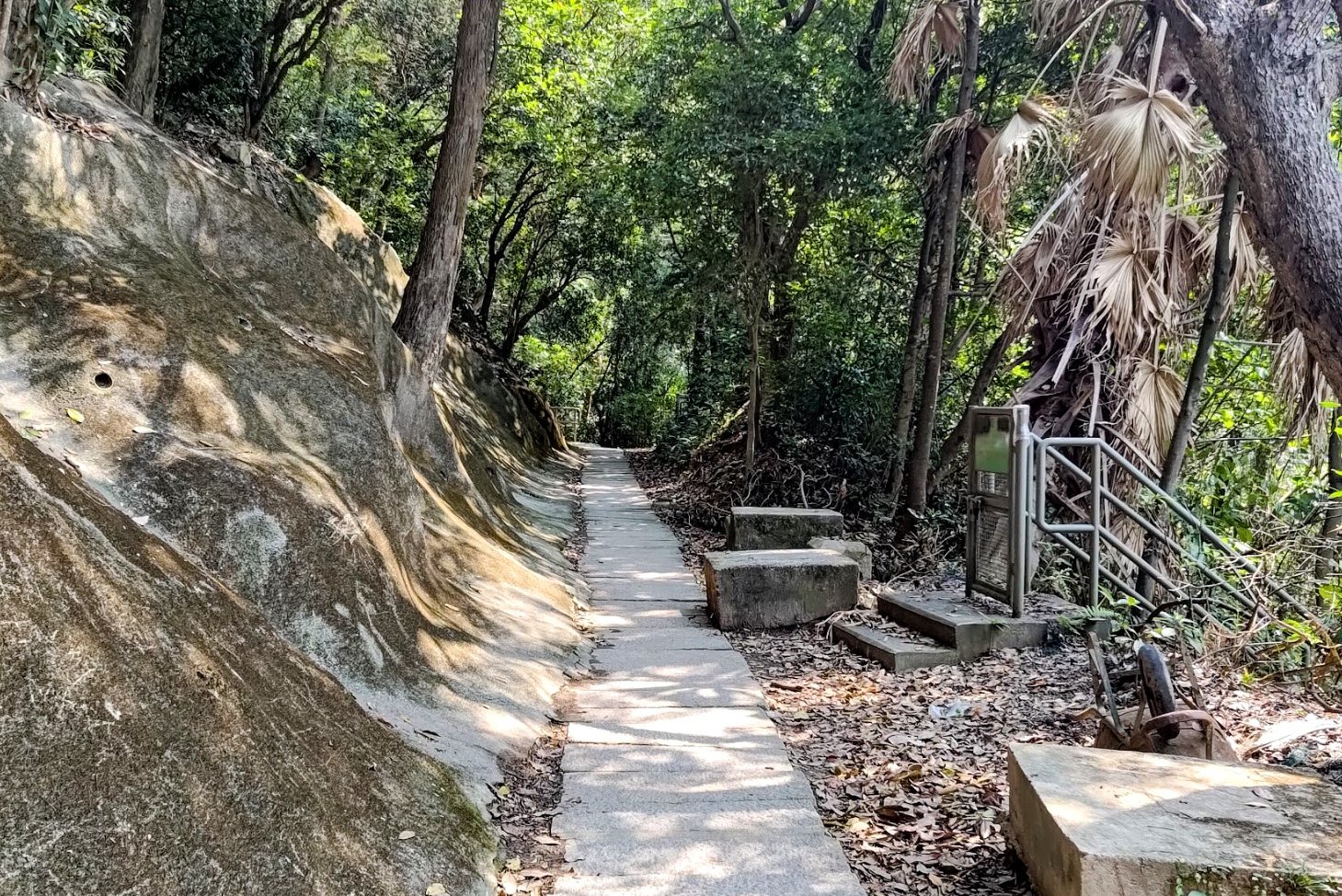
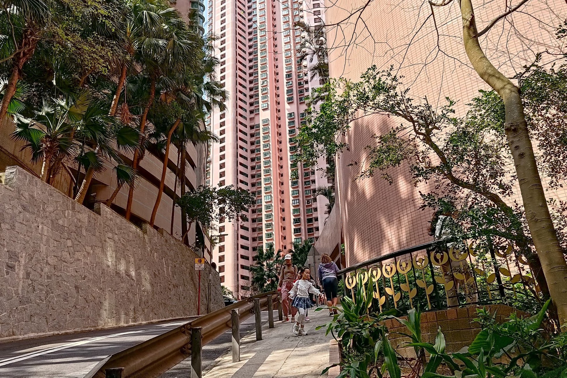
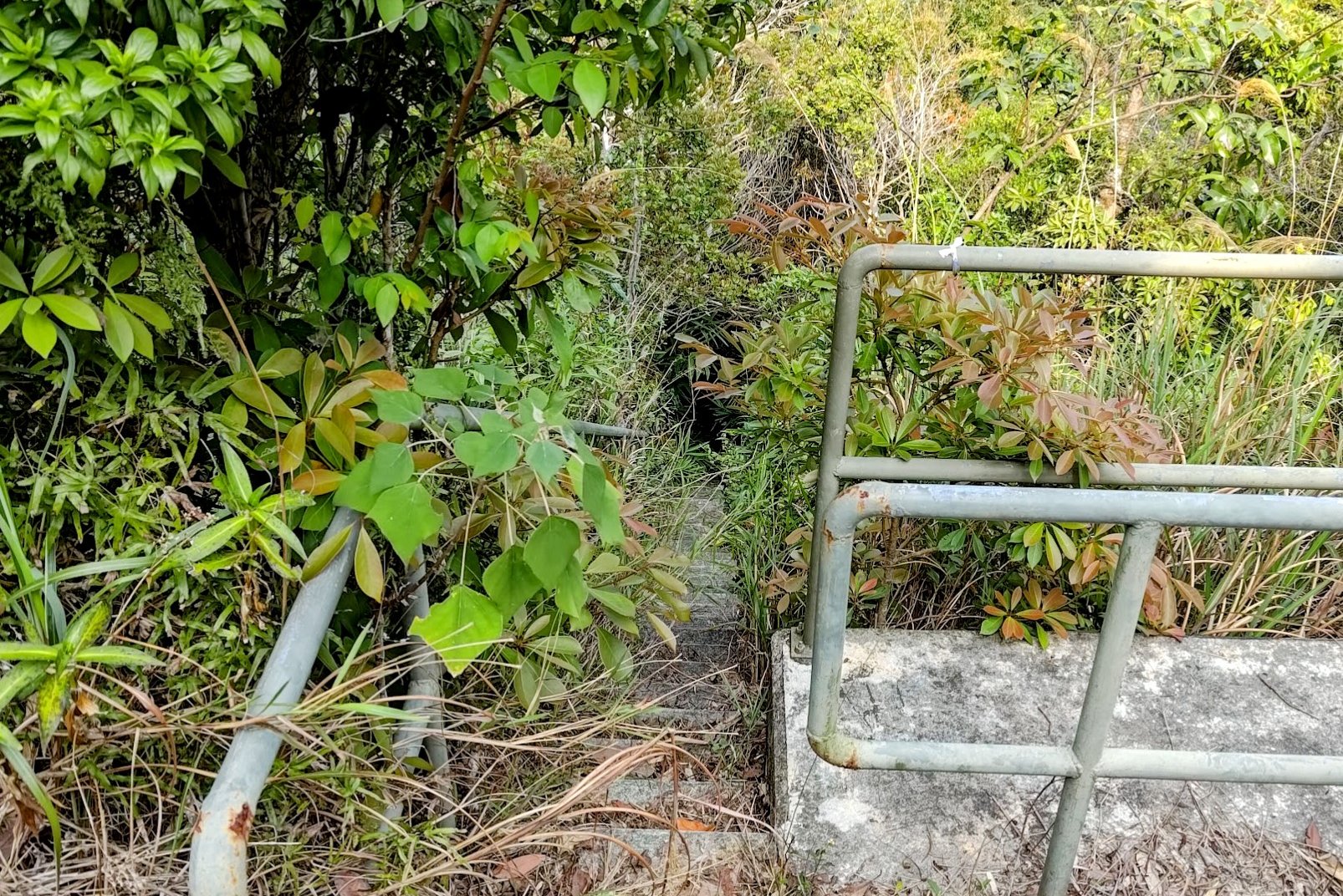
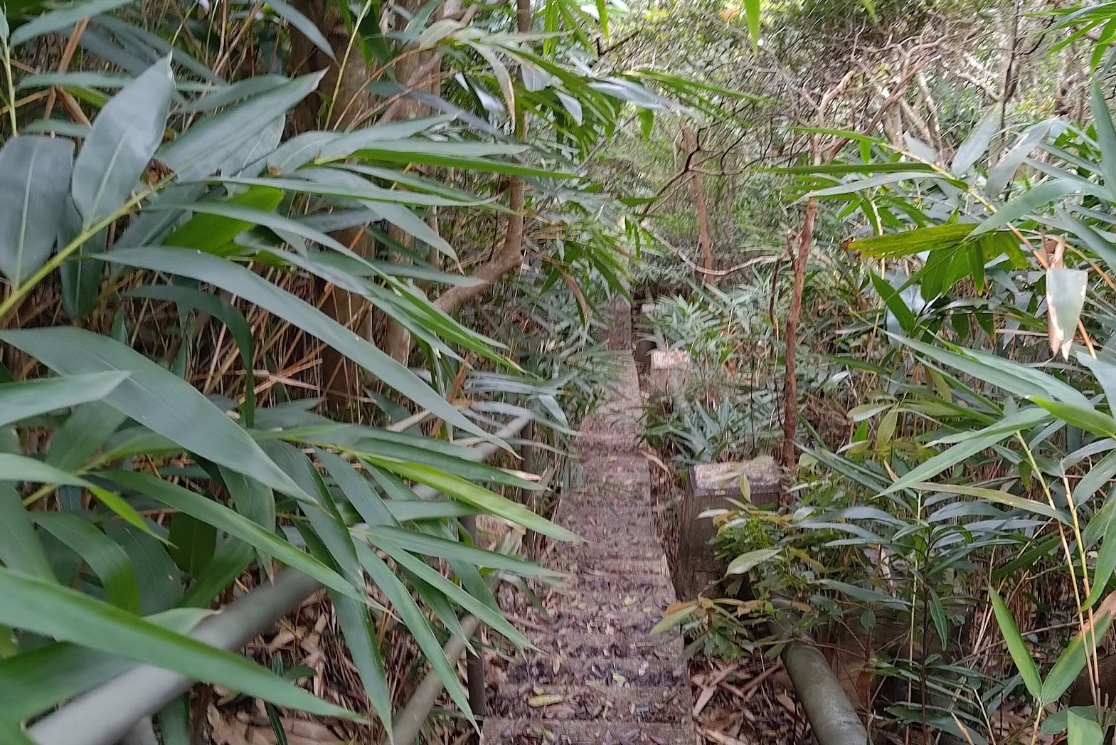
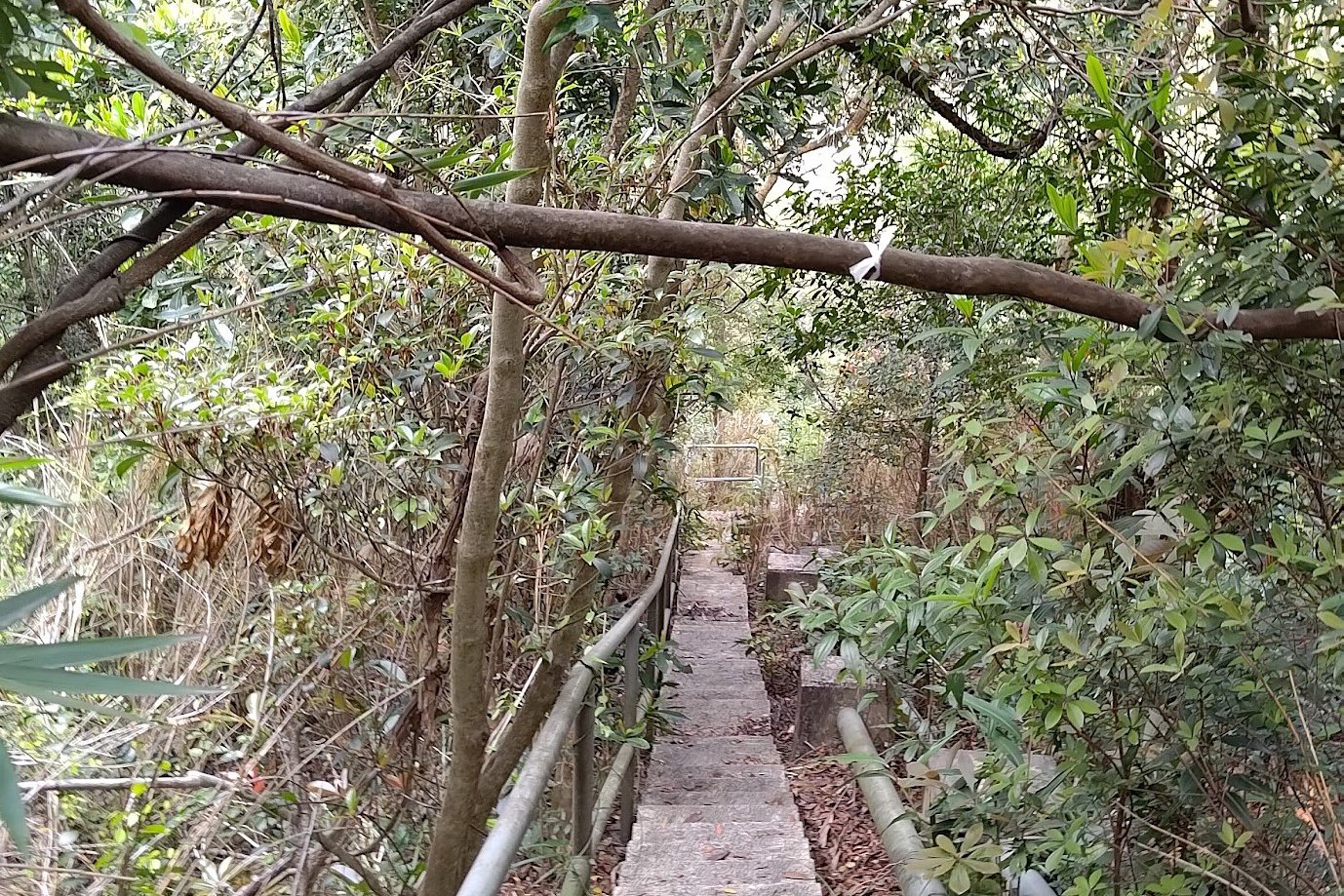
Getting to Boundary Stone 2 in Mount Davis
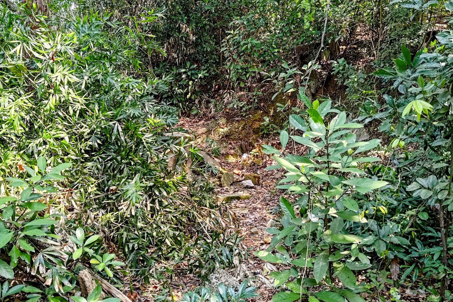
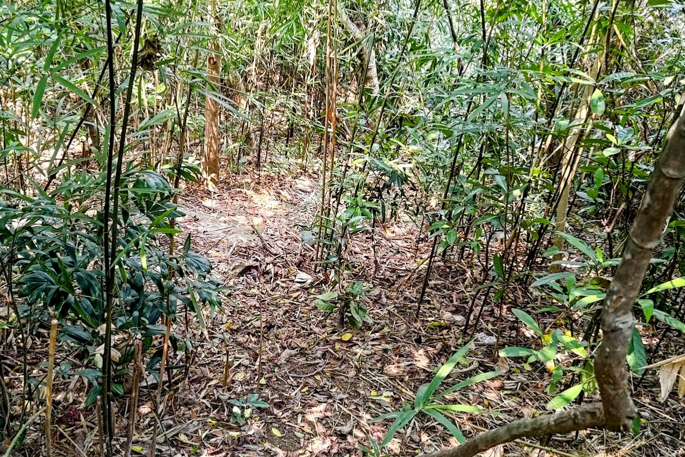
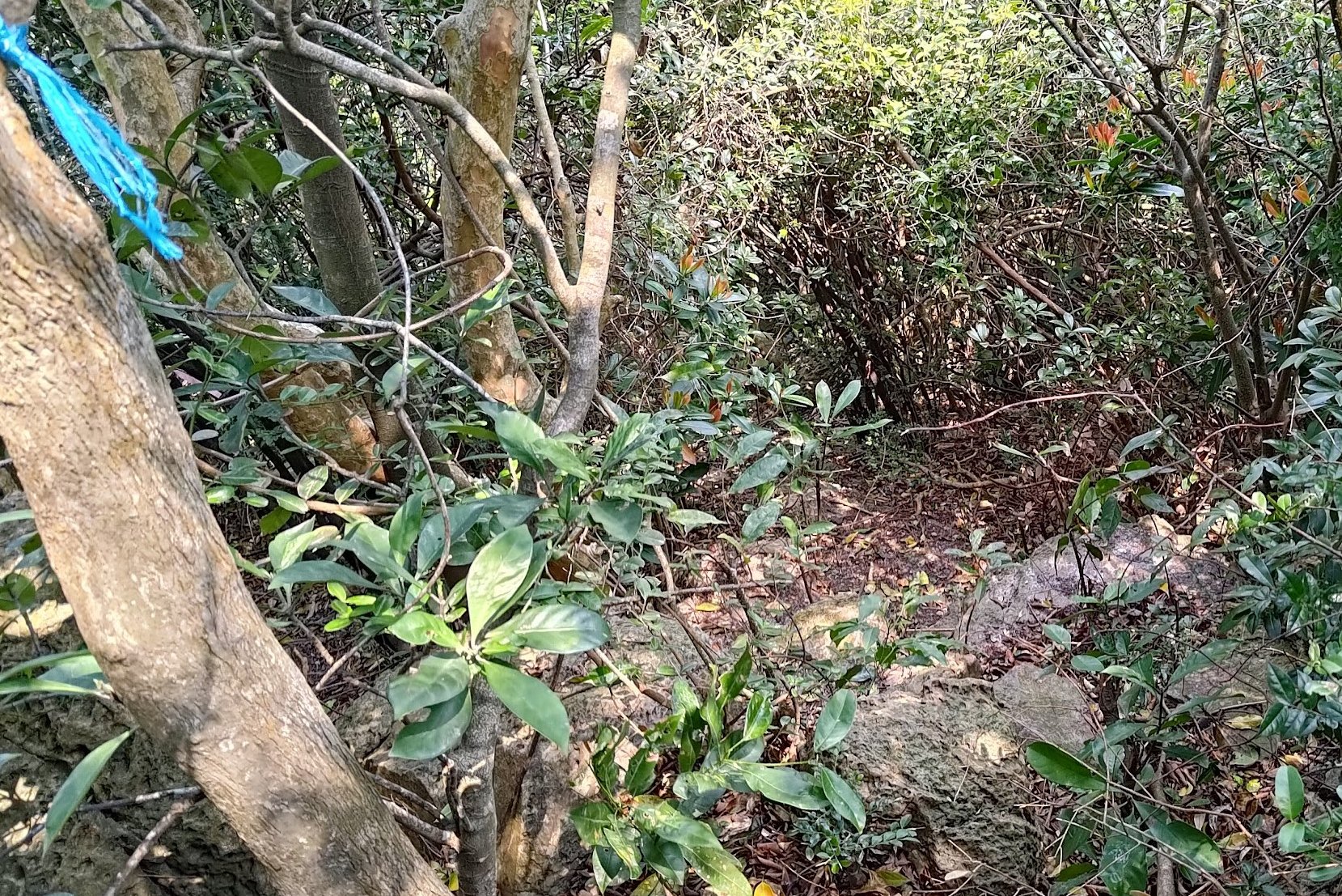
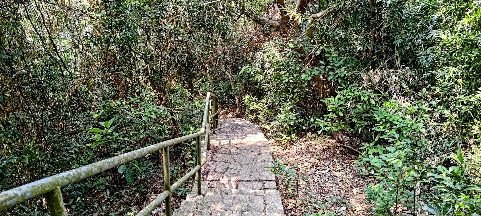
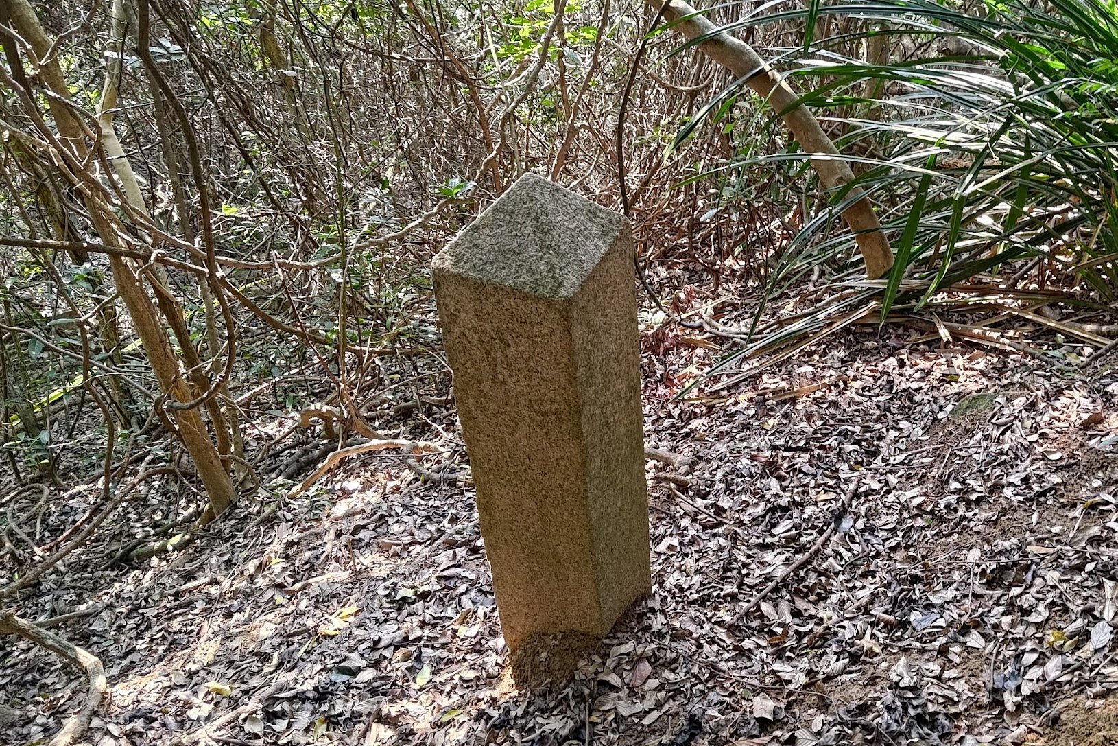
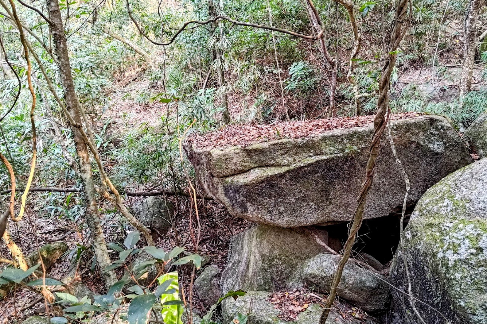
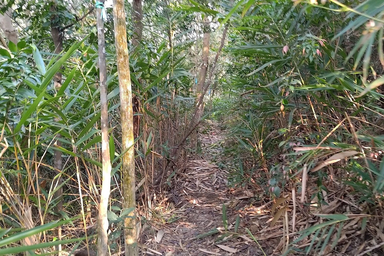
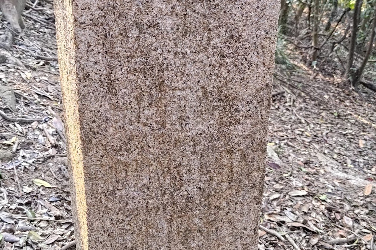
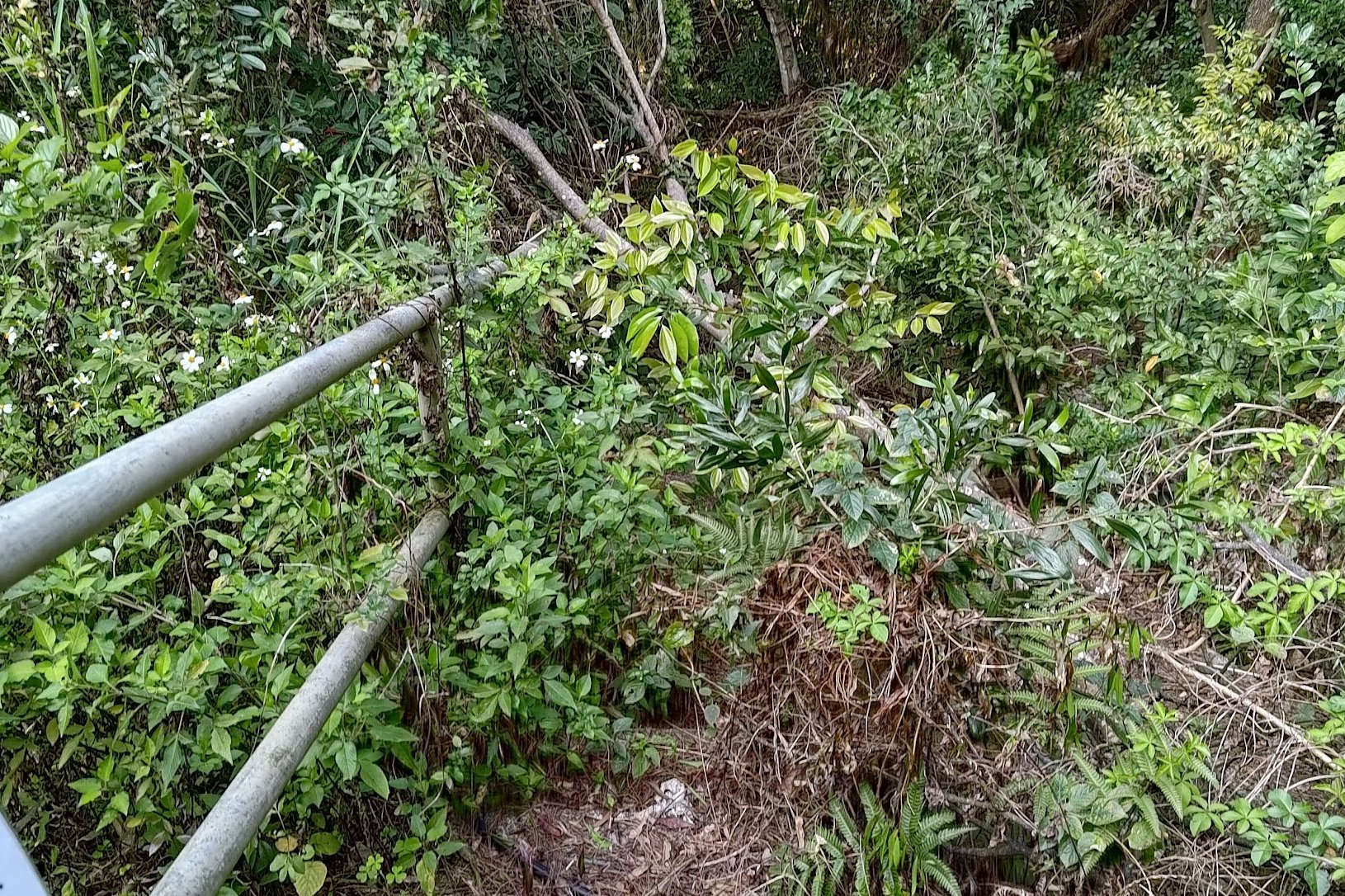
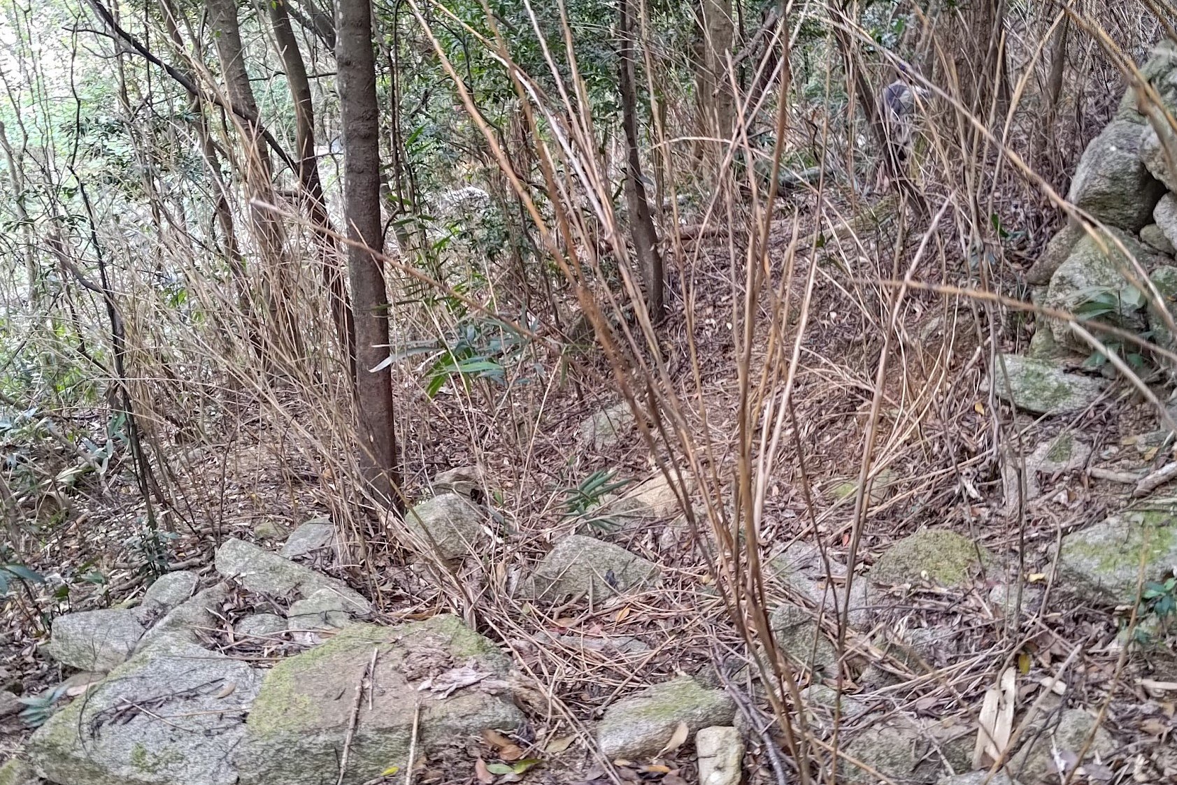
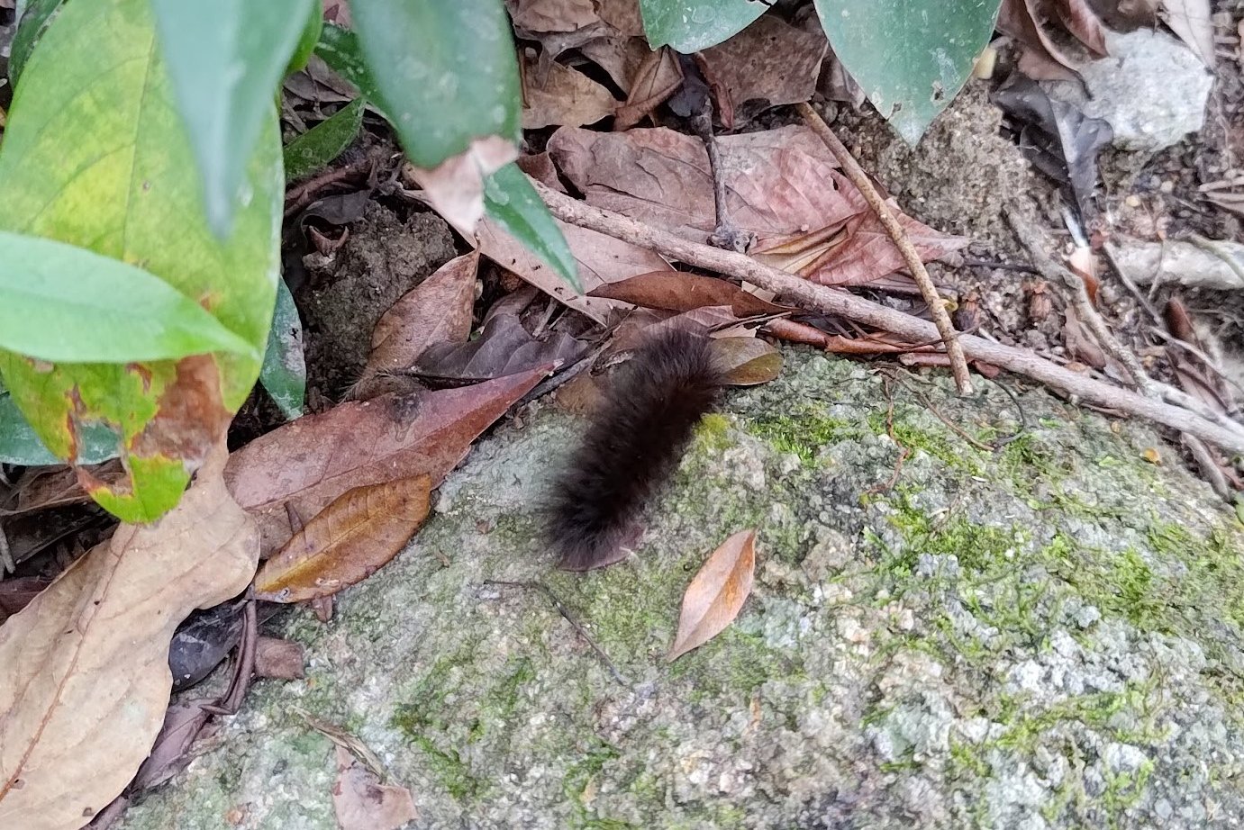
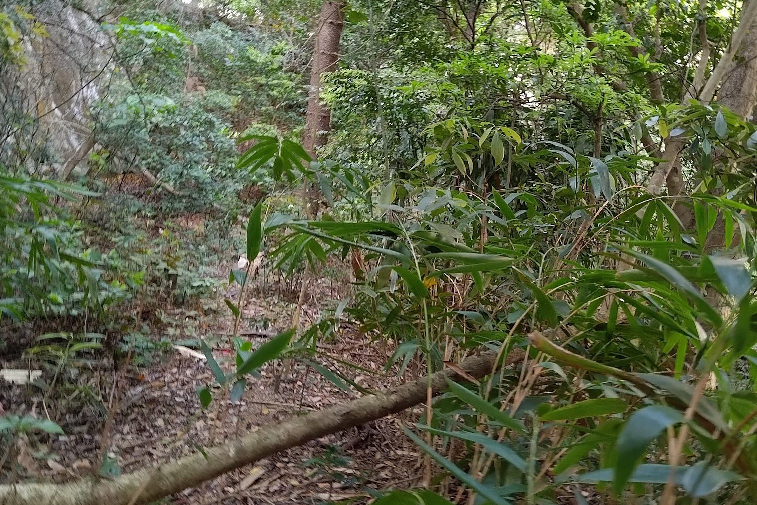
The second boundary stone is a hidden one that was found only in 2021. This makes it a lot tougher to get to and requires some bushwhacking. If that's not your thing, you can just continue to the next stone without going to this one.
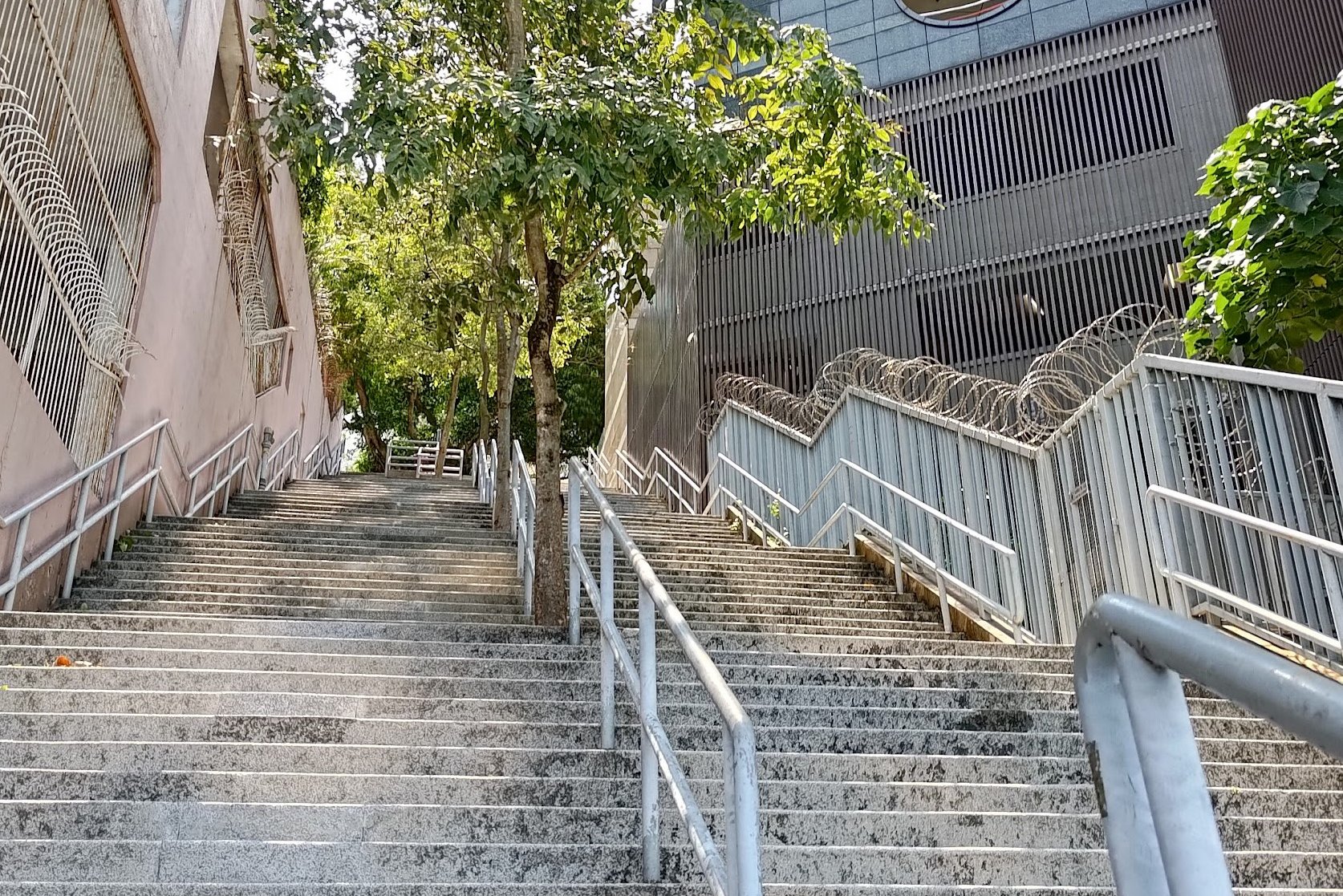
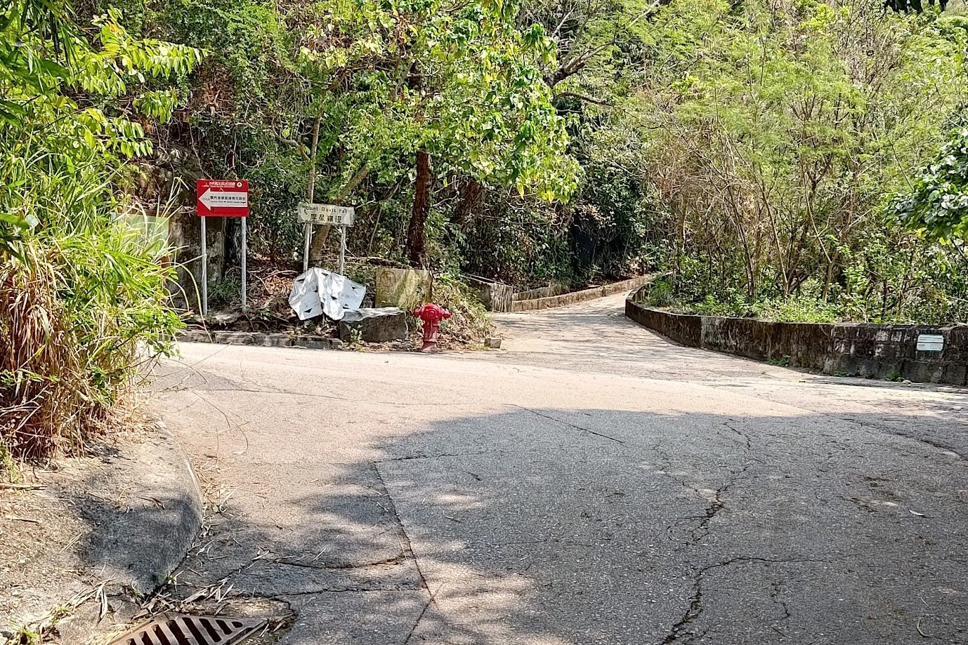
To get to boundary stone 2, take the stairs up from across the recreation ground and follow Victoria Road.
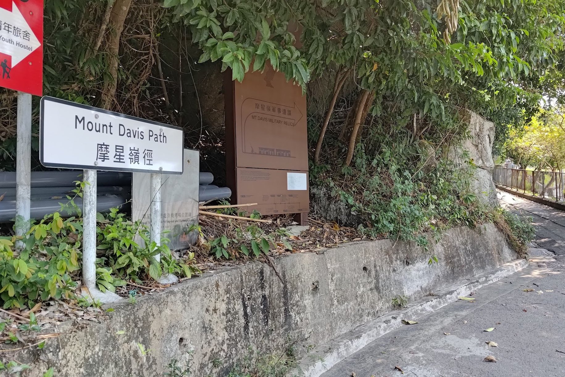
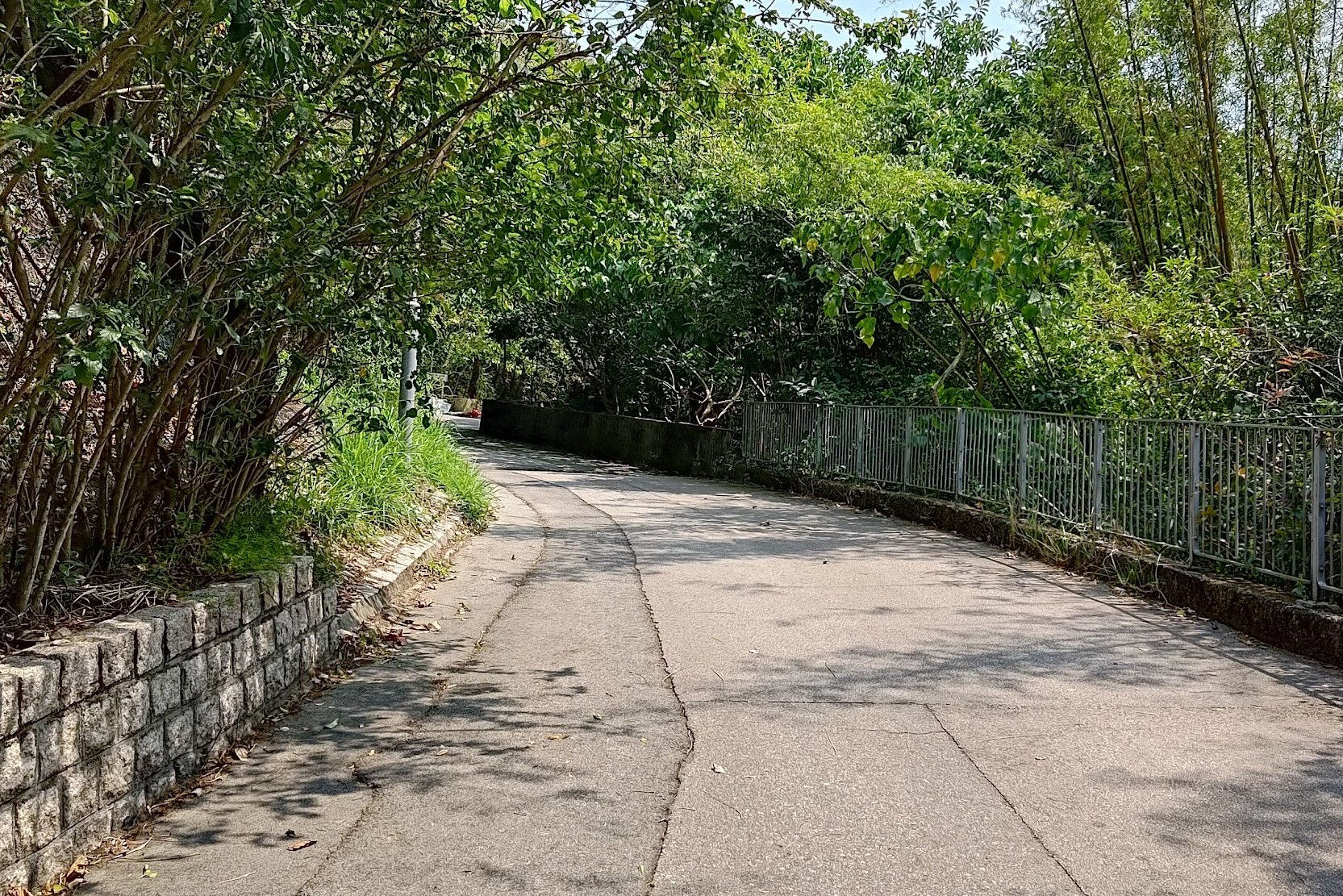
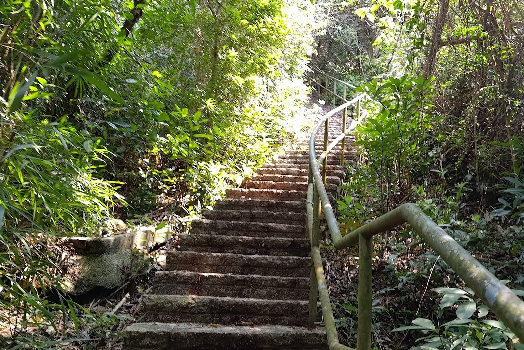
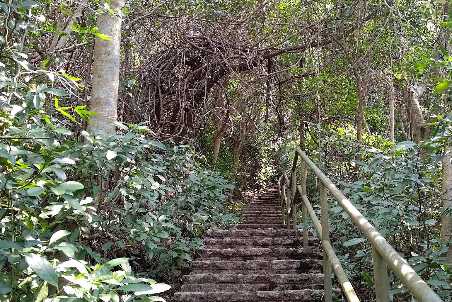
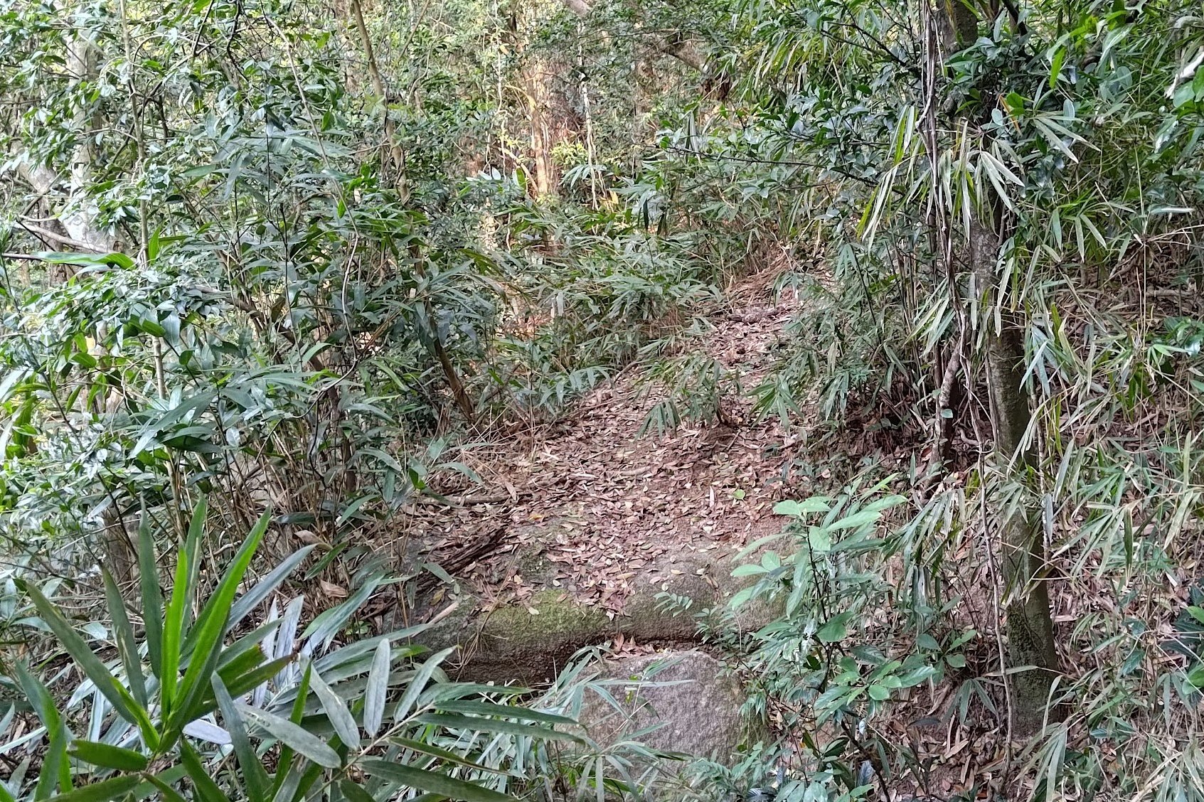
You will need to turn up Mount Davis Path and follow it until you see some stairs by a sign pointing to the youth hostel.
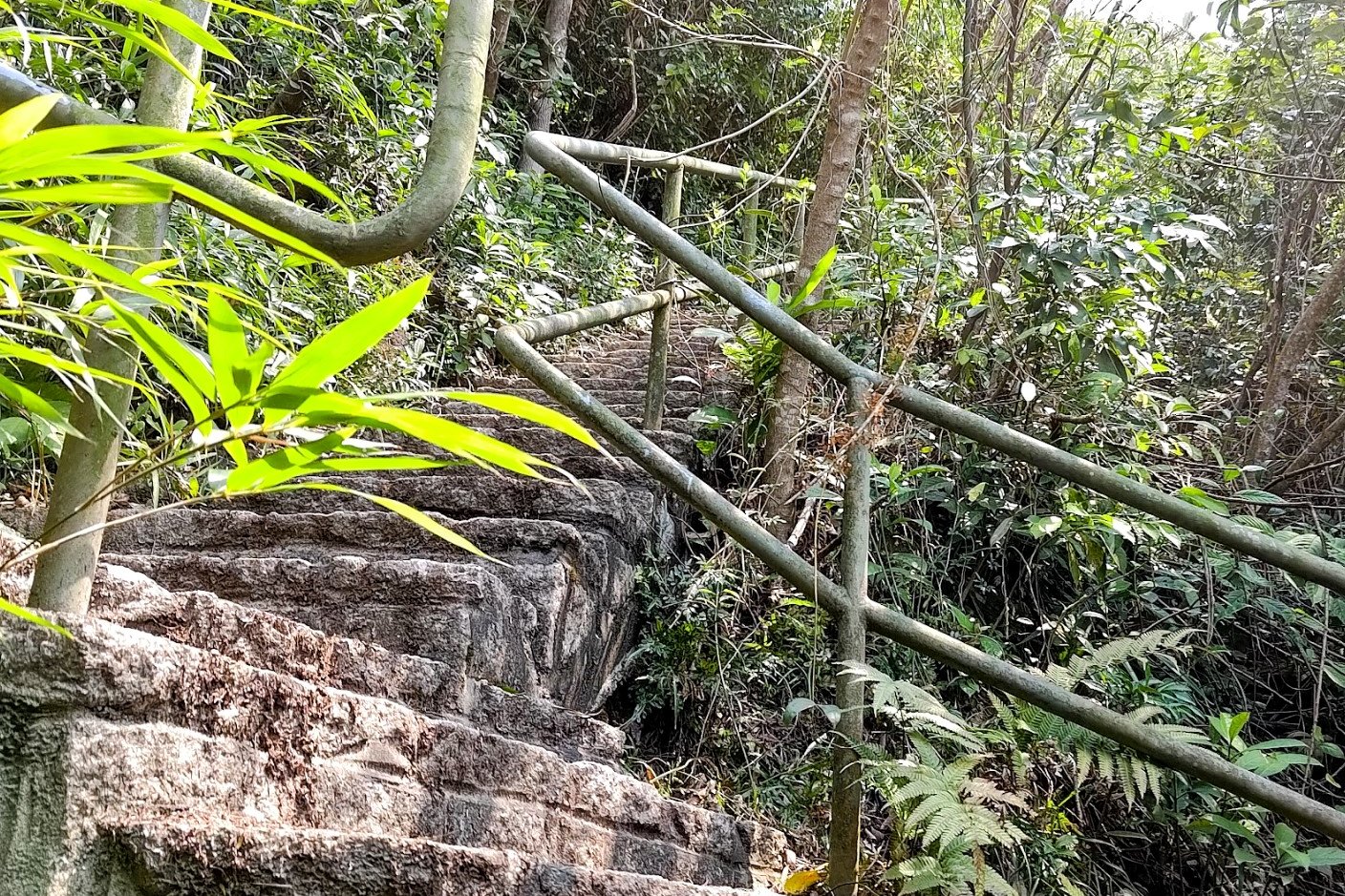
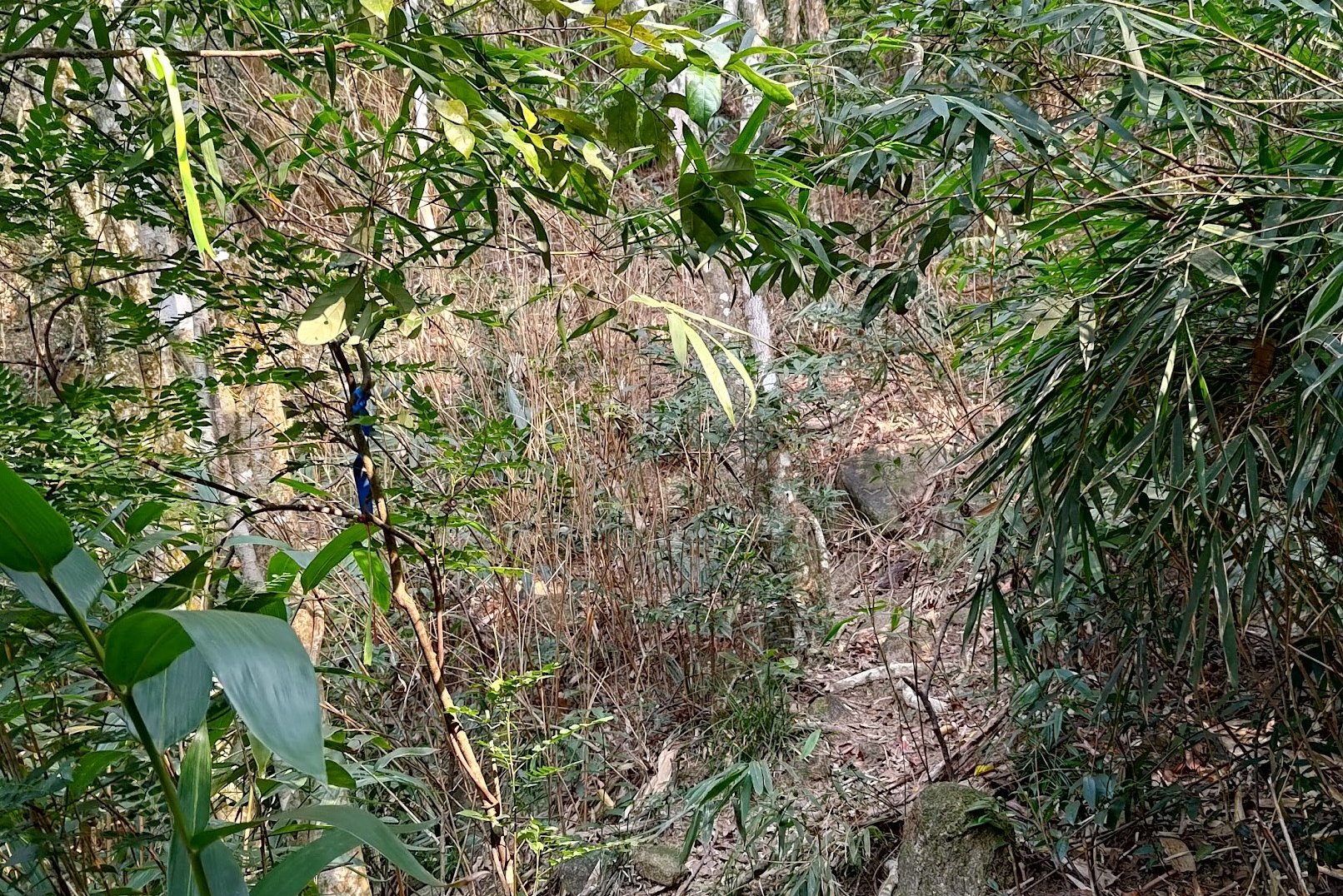
About 5 mins into your climb, there will be a trail cut into the foliage on the left. Follow the ribbons along this trail until you arrive at the boundary stone.
Retrace your steps back to the stairs, down Mount Davis Path and onto Victoria Road once more.
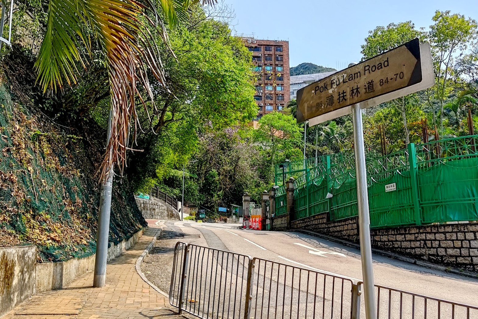
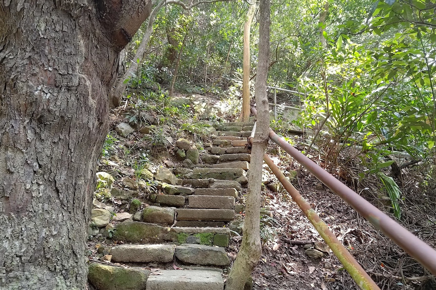
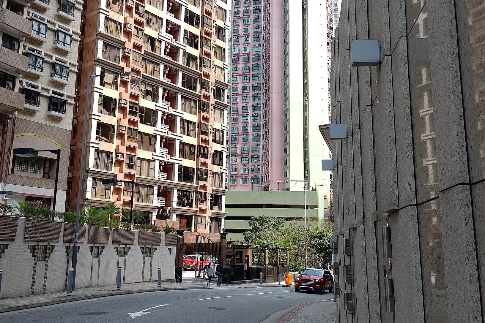
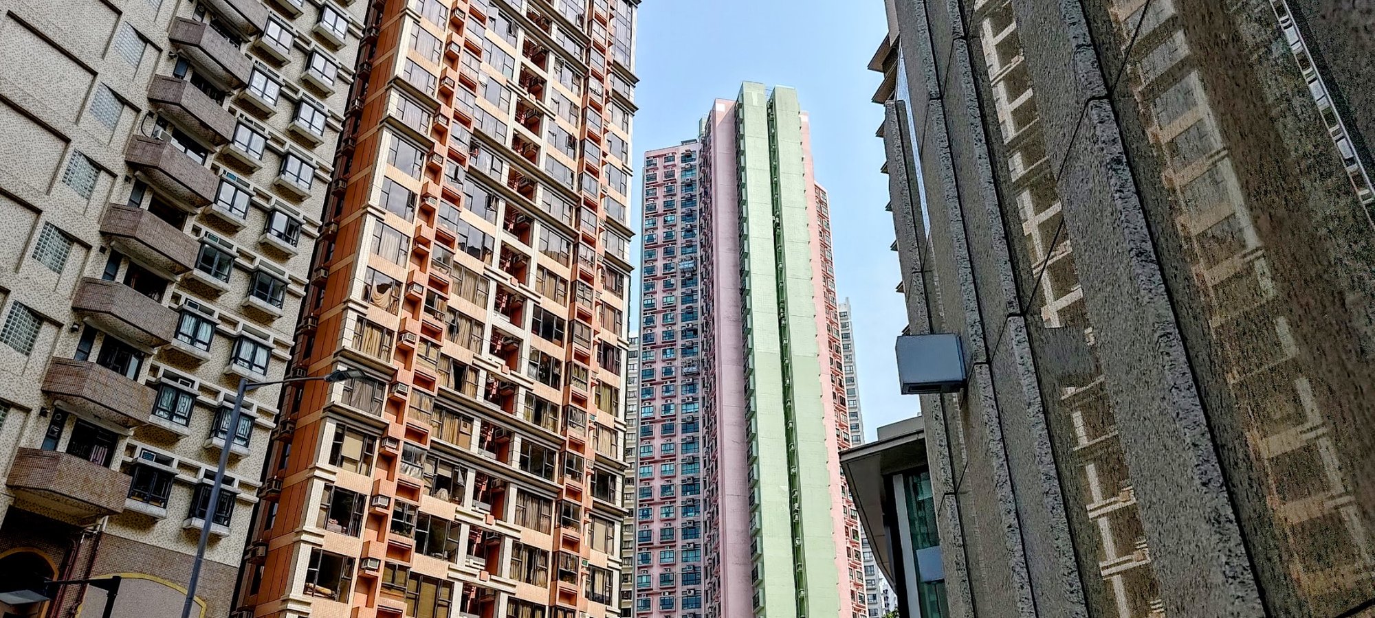
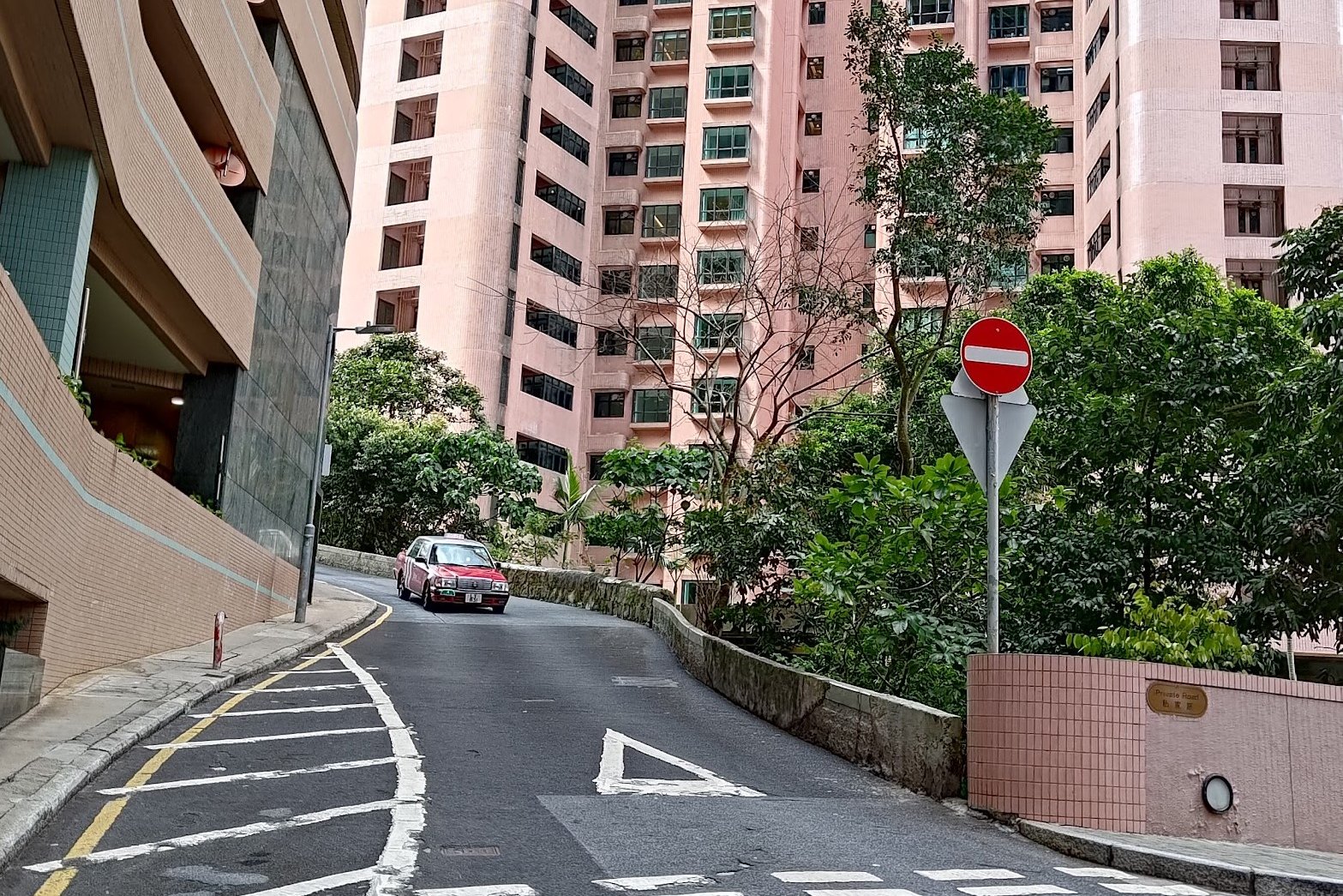
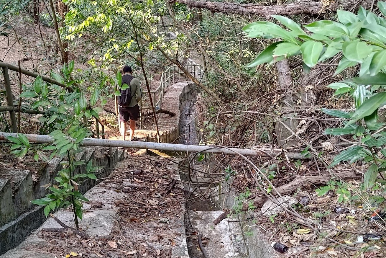
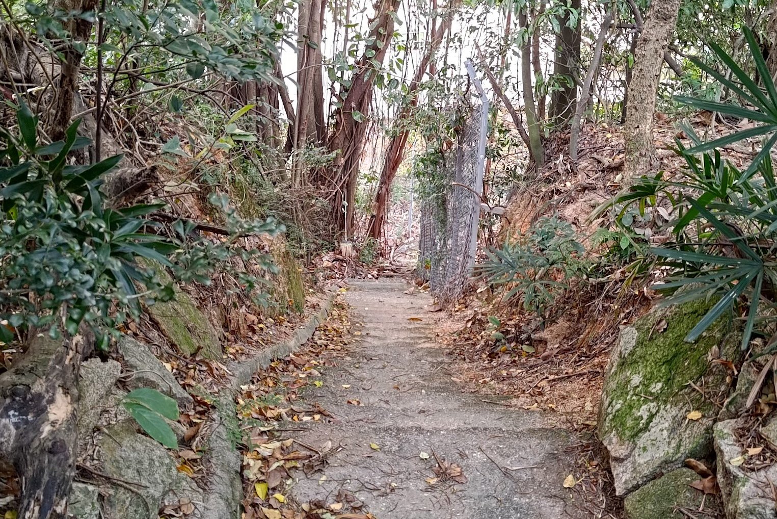
Getting to Boundary Stone 3 on Pok Fu Lam Road
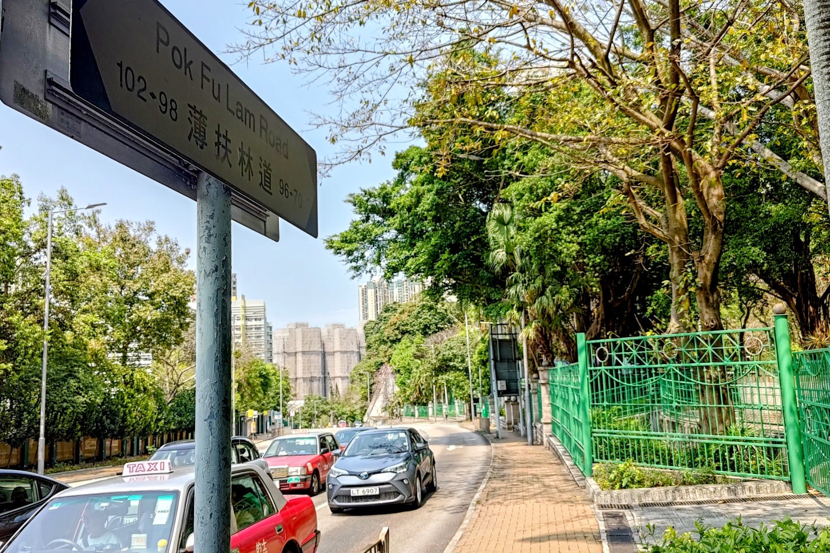
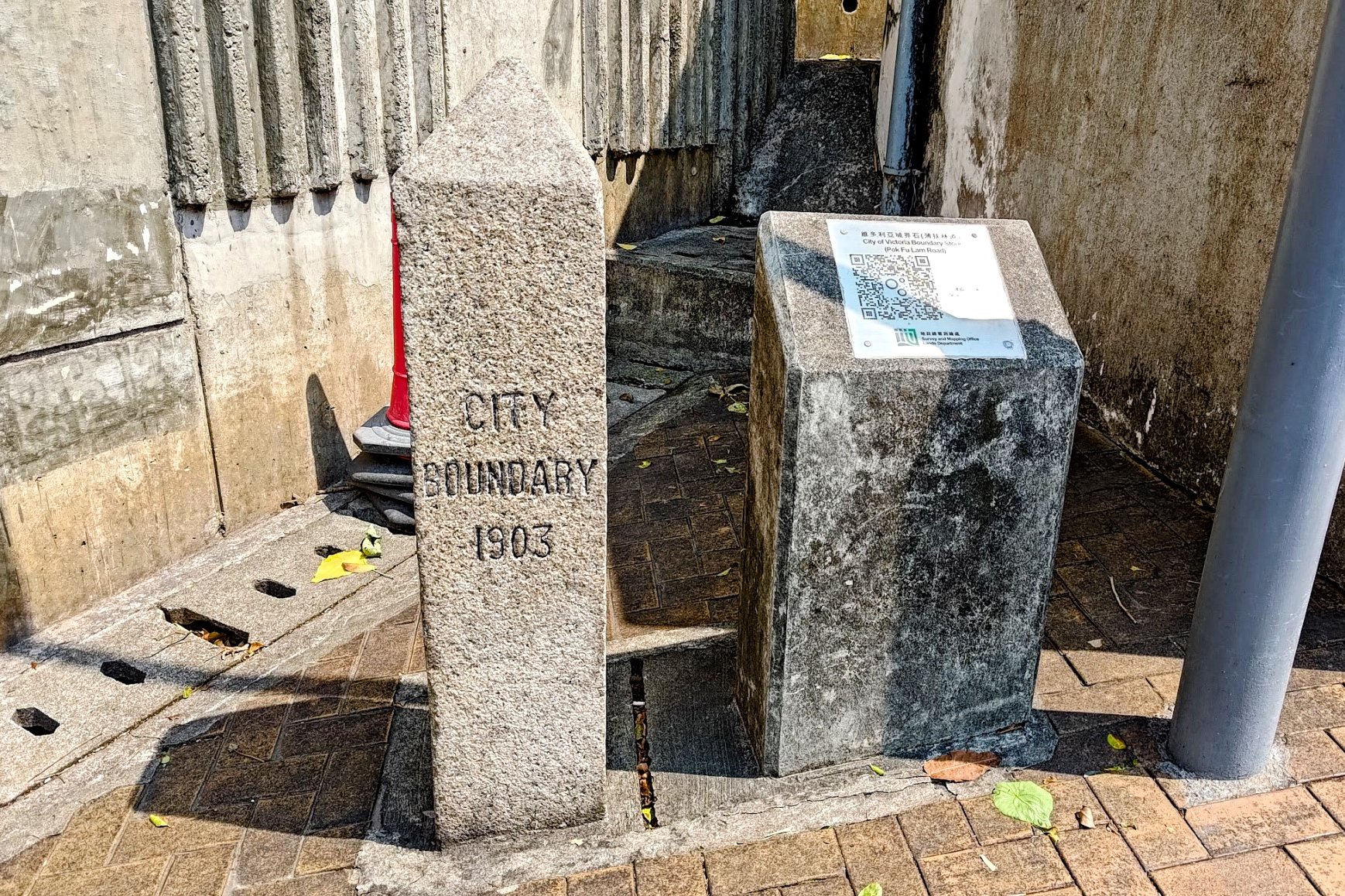
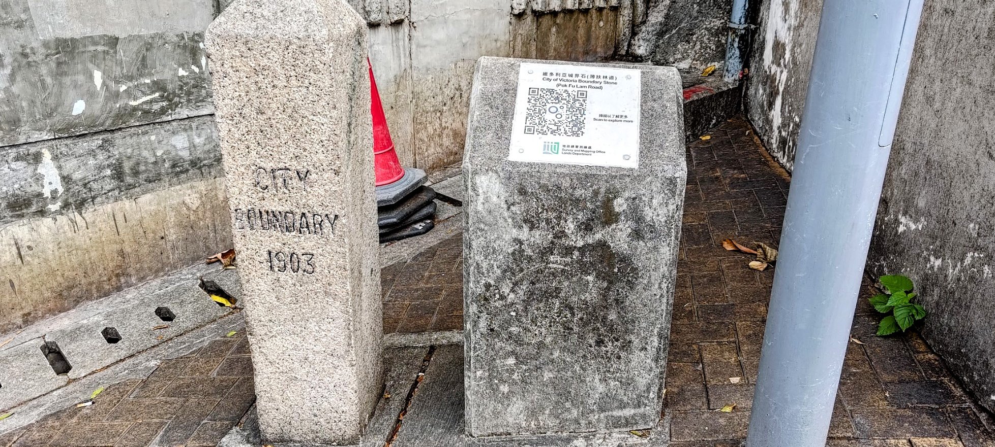
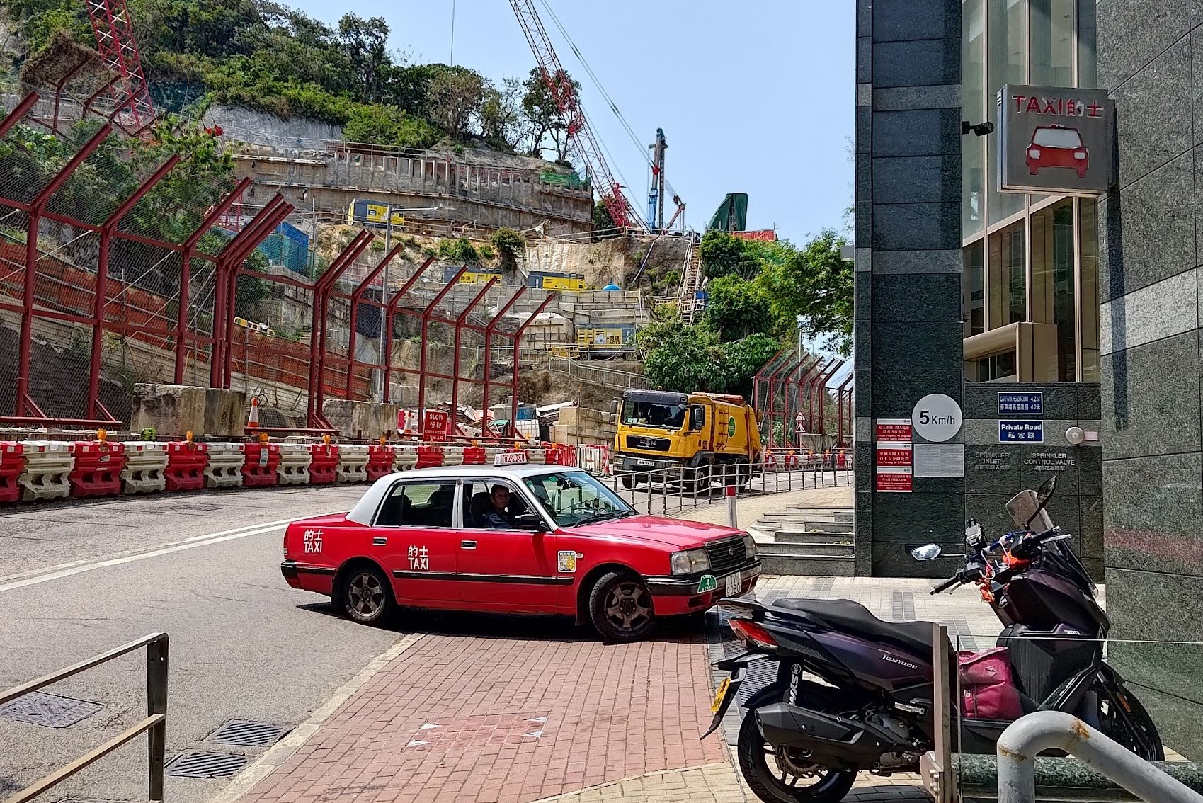
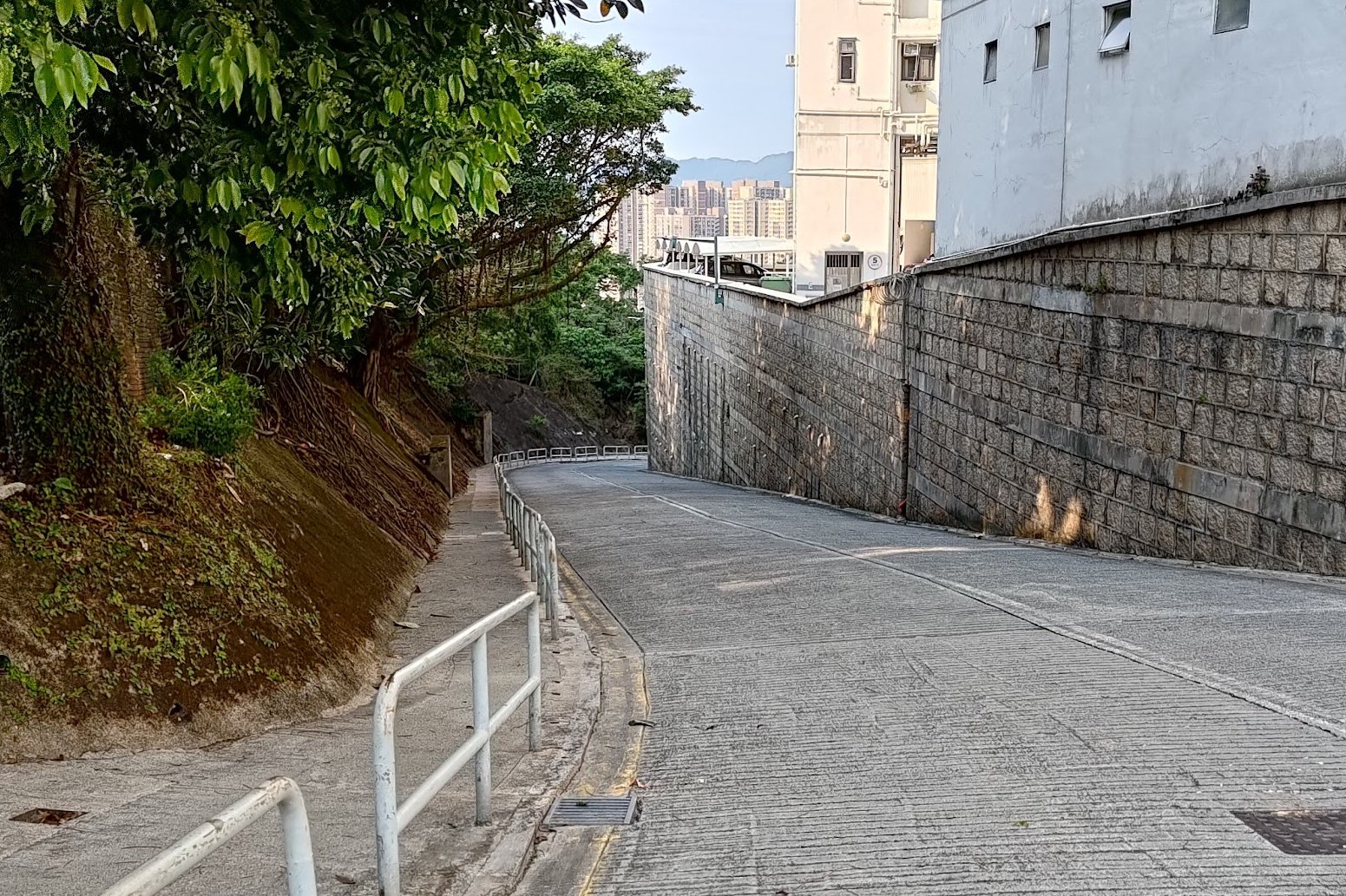
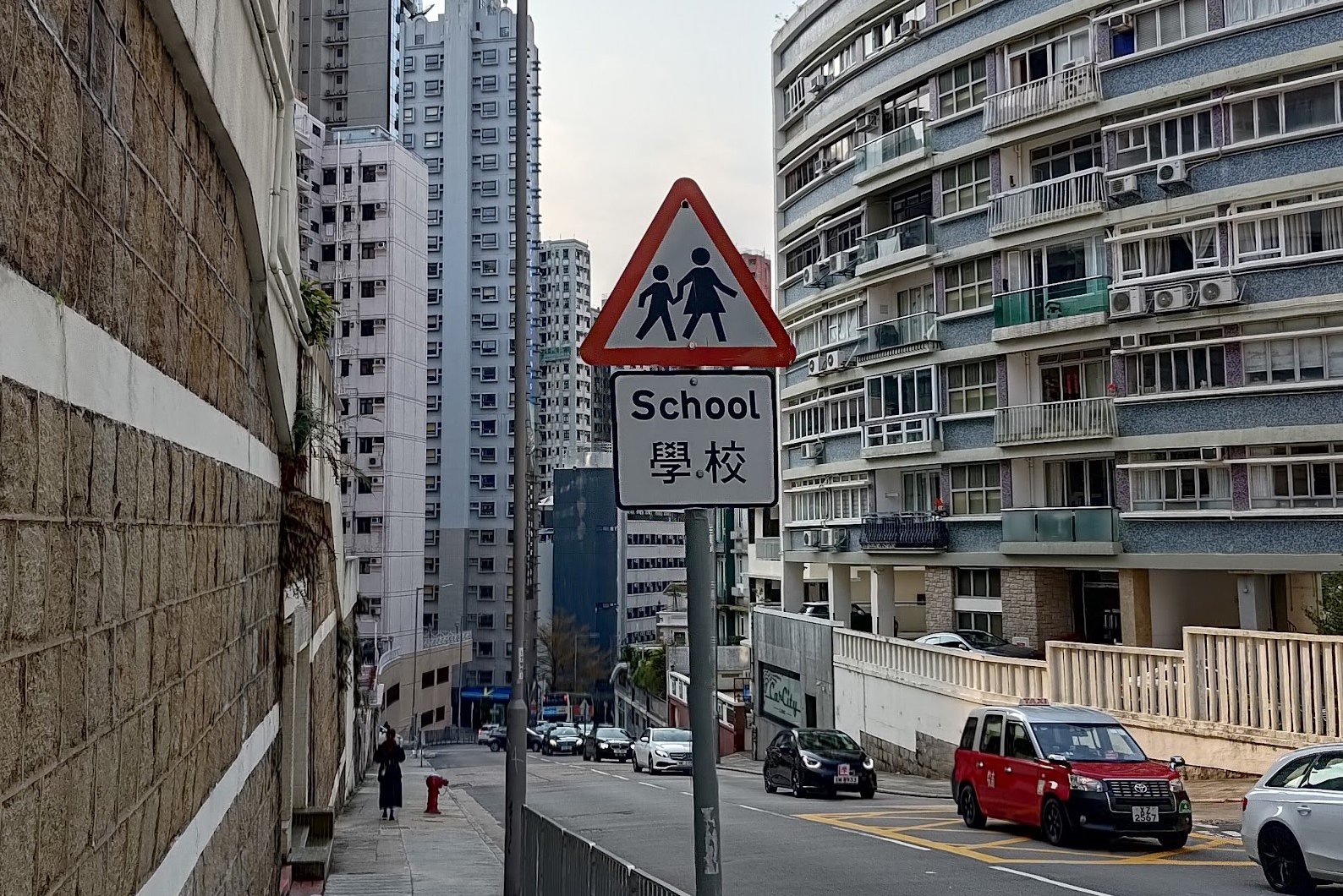
Once you're back on Victoria Road, follow it all the way down to West Island School. Take the large staircase opposite the school up to Mount Davis Road.
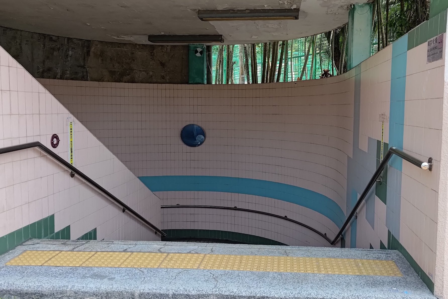
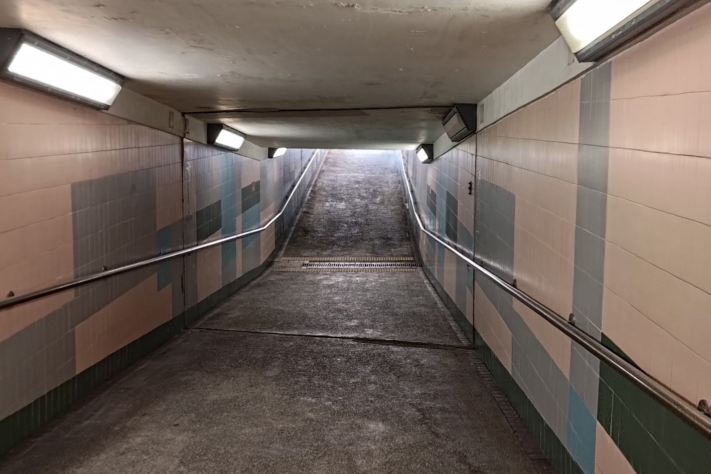
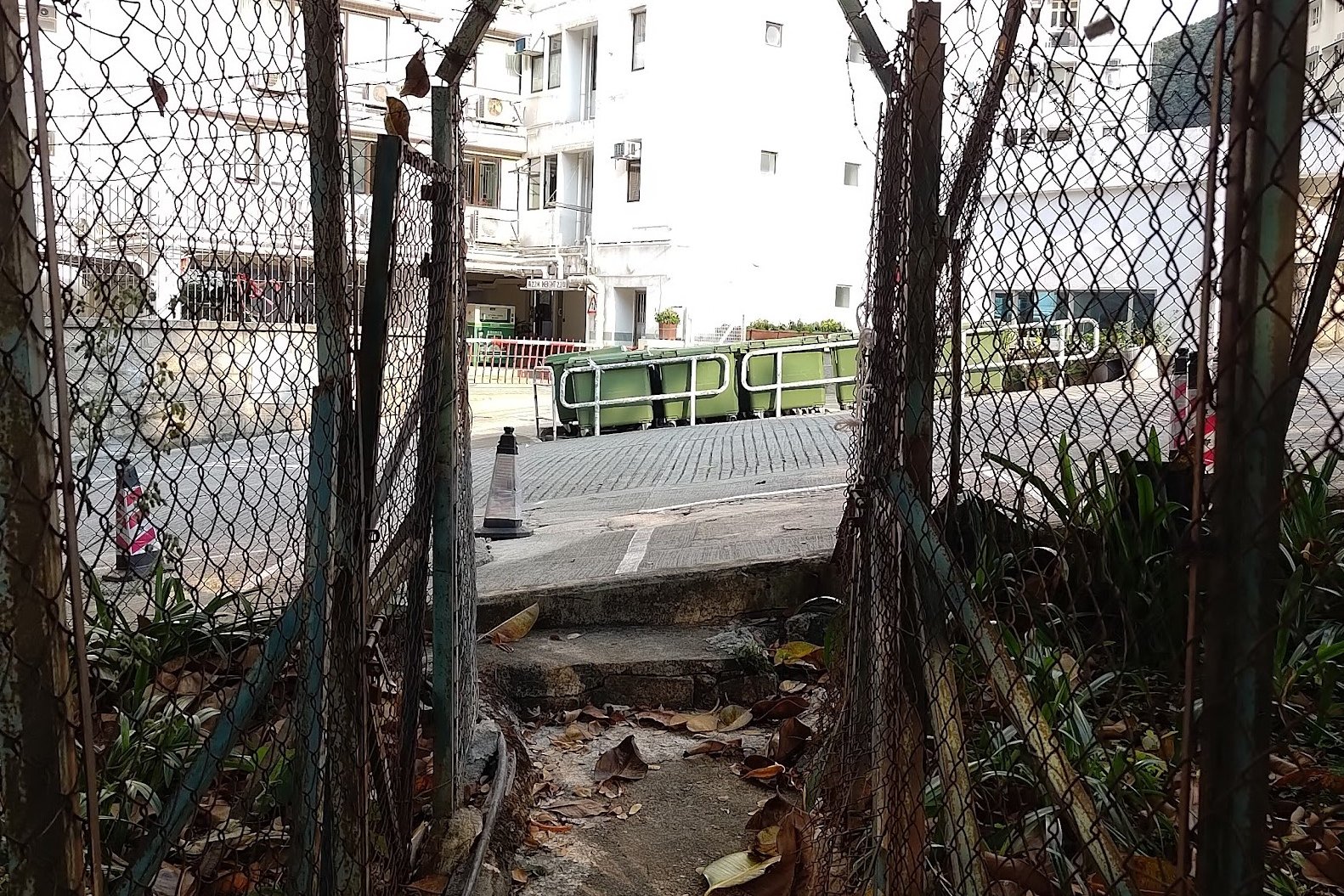
Turn right at the stairs and follow Mount Davis Road until it merges with Pok Fu Lam Road. After crossing the street, turn left and walk toward the pedestrian underpass.
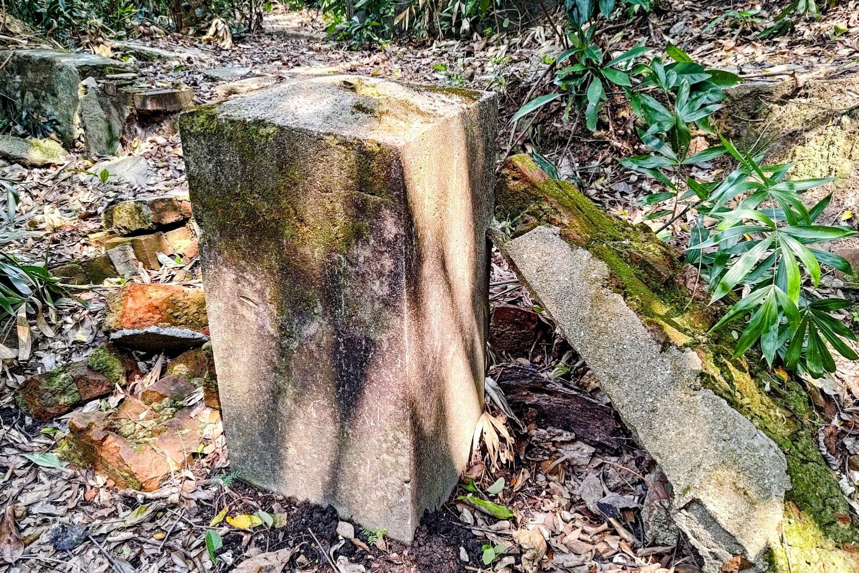
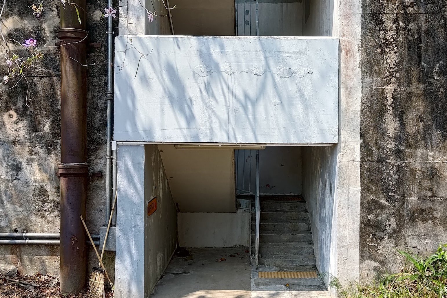
At the bottom of the underpass, take a right and leave through the exit there. The next boundary stone is just behind the underpass exit, tucked away in an unassuming corner.
Getting to Boundary Stone 4 - Near Hatton Road
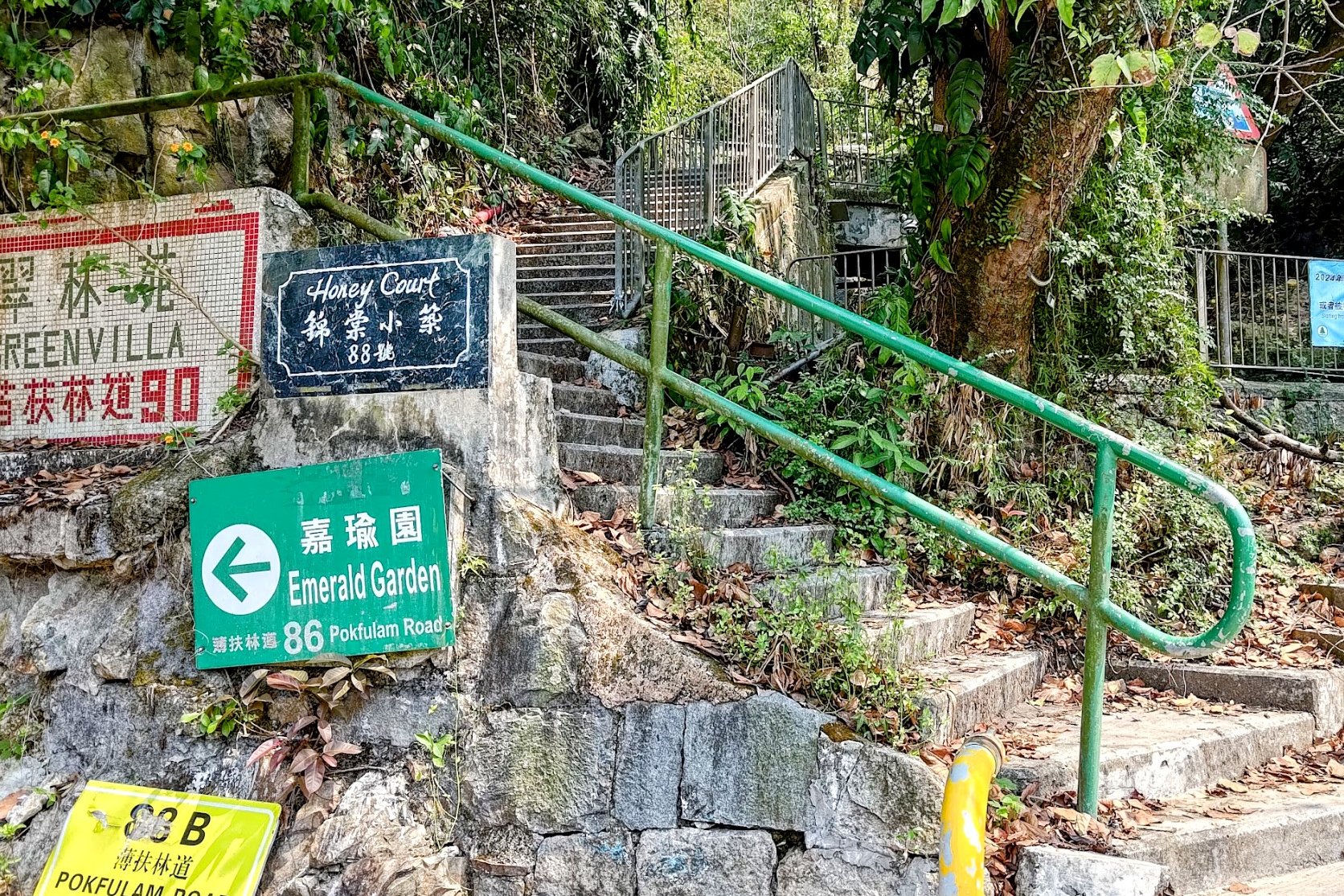


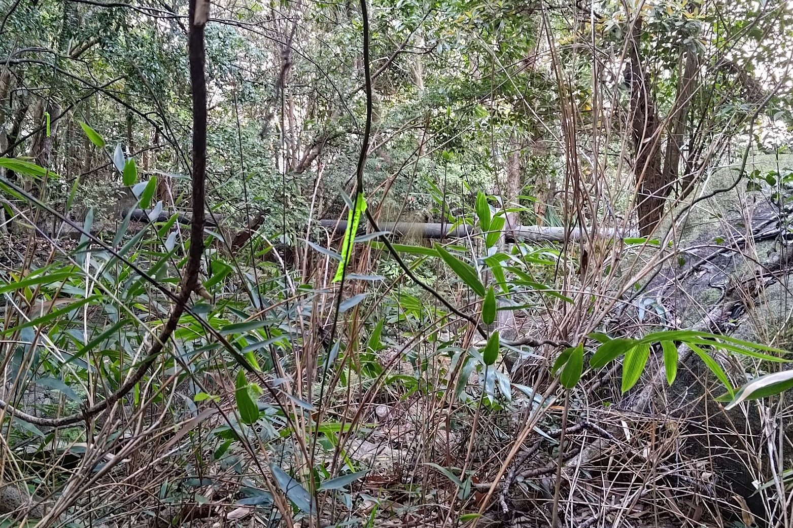
This boundary stone is another of the hidden ones that was found and verified in 2021. You can skip it as the next one that's on the main trail is very close to this one. So either way, follow the same instructions.
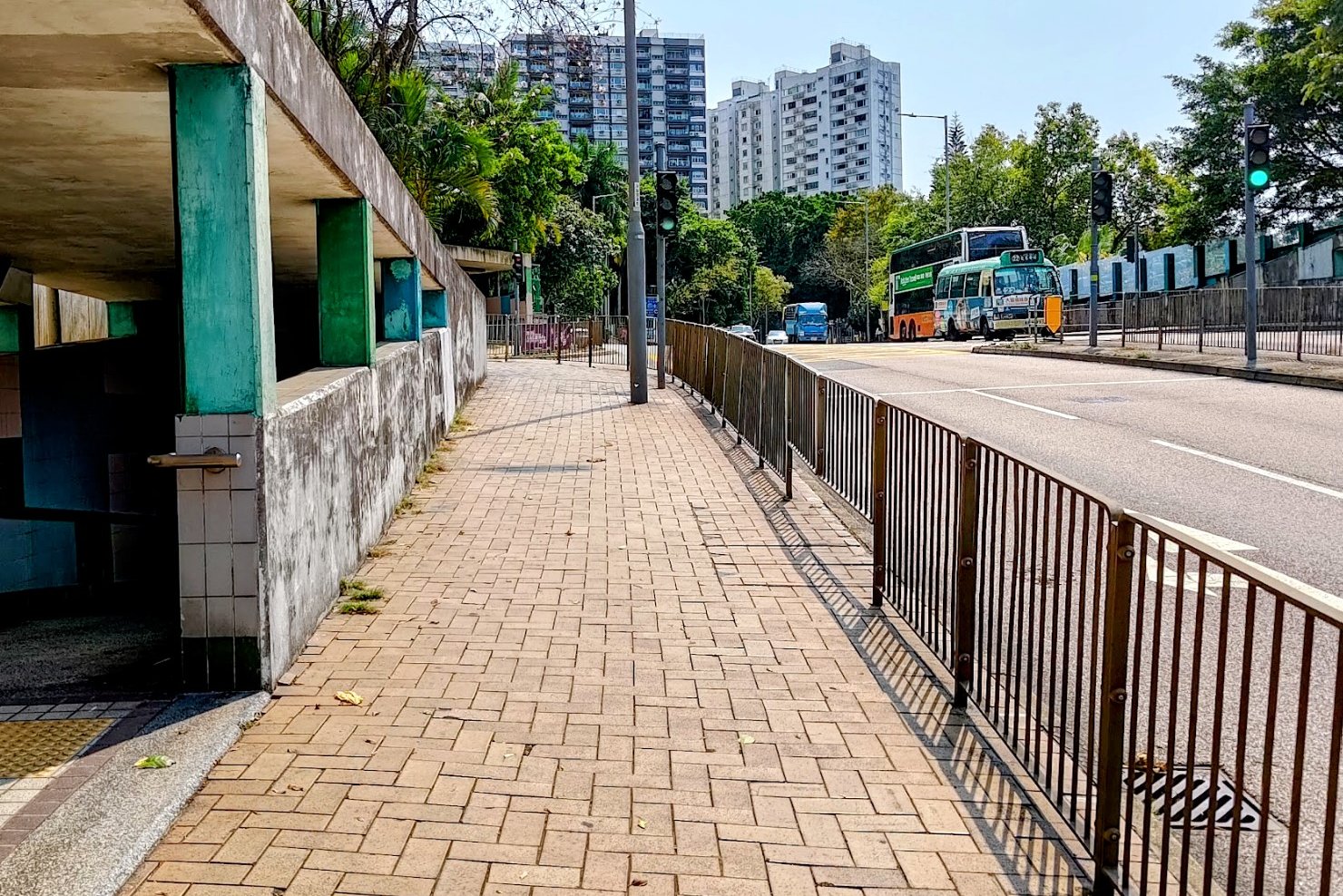
From the third boundary stone, walk alone Pok Fu Lam Road until you see a set of stairs with a green railing beside it. There will be a Green Villa sign to help you easily identify the stairs.
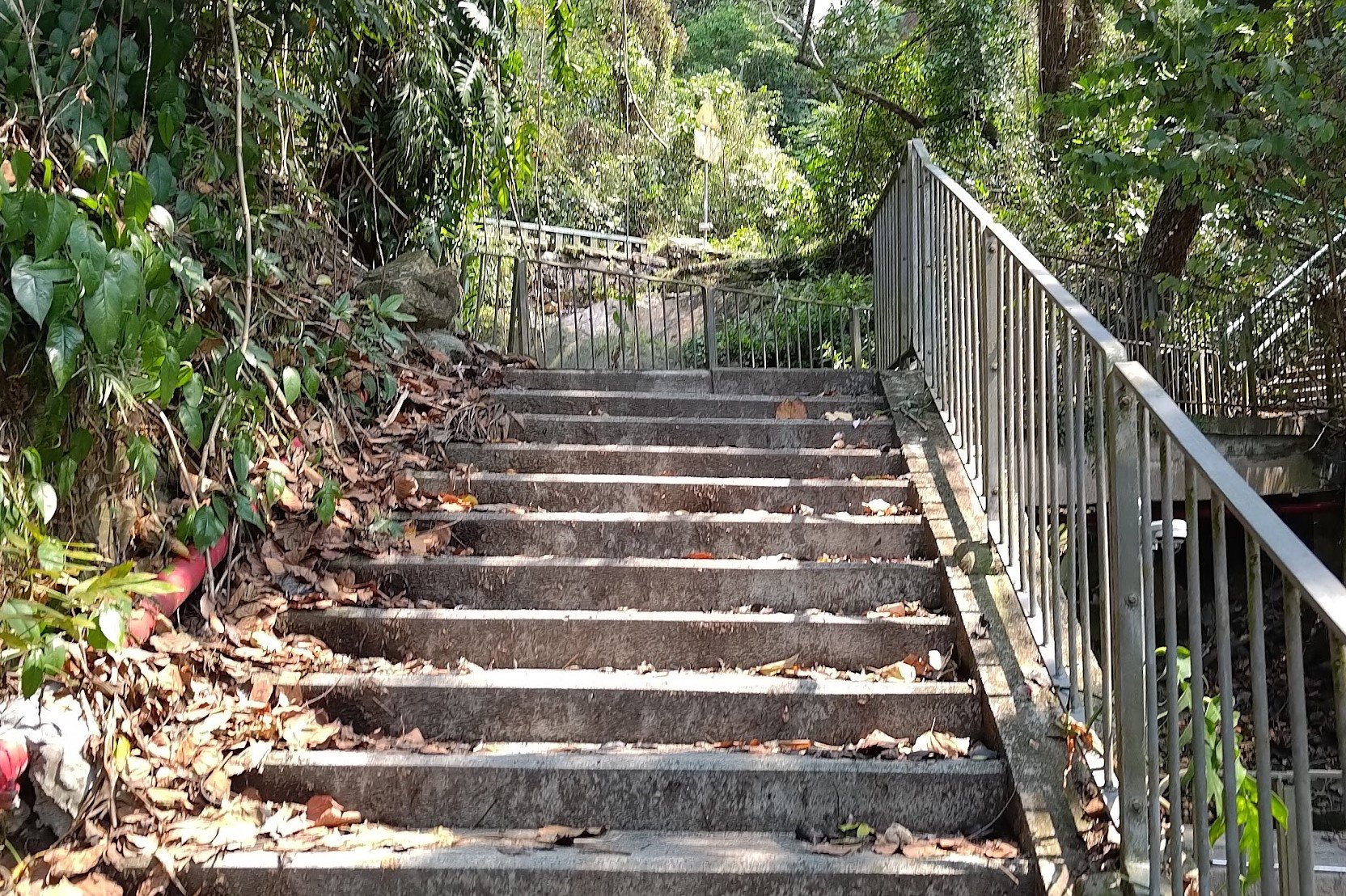
Climb up the stairs and when you arrive at a flat road, go across it and keep climbing.
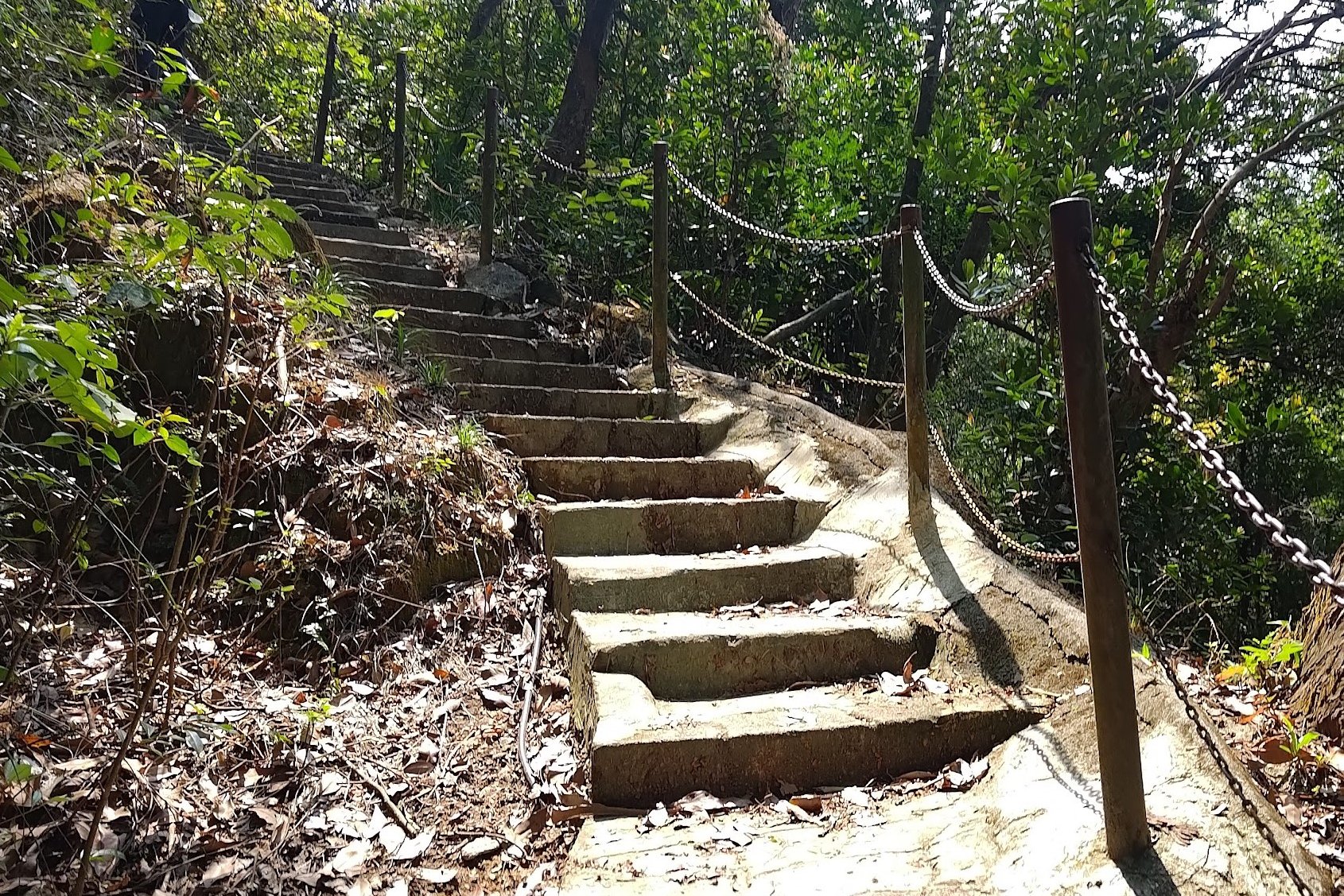
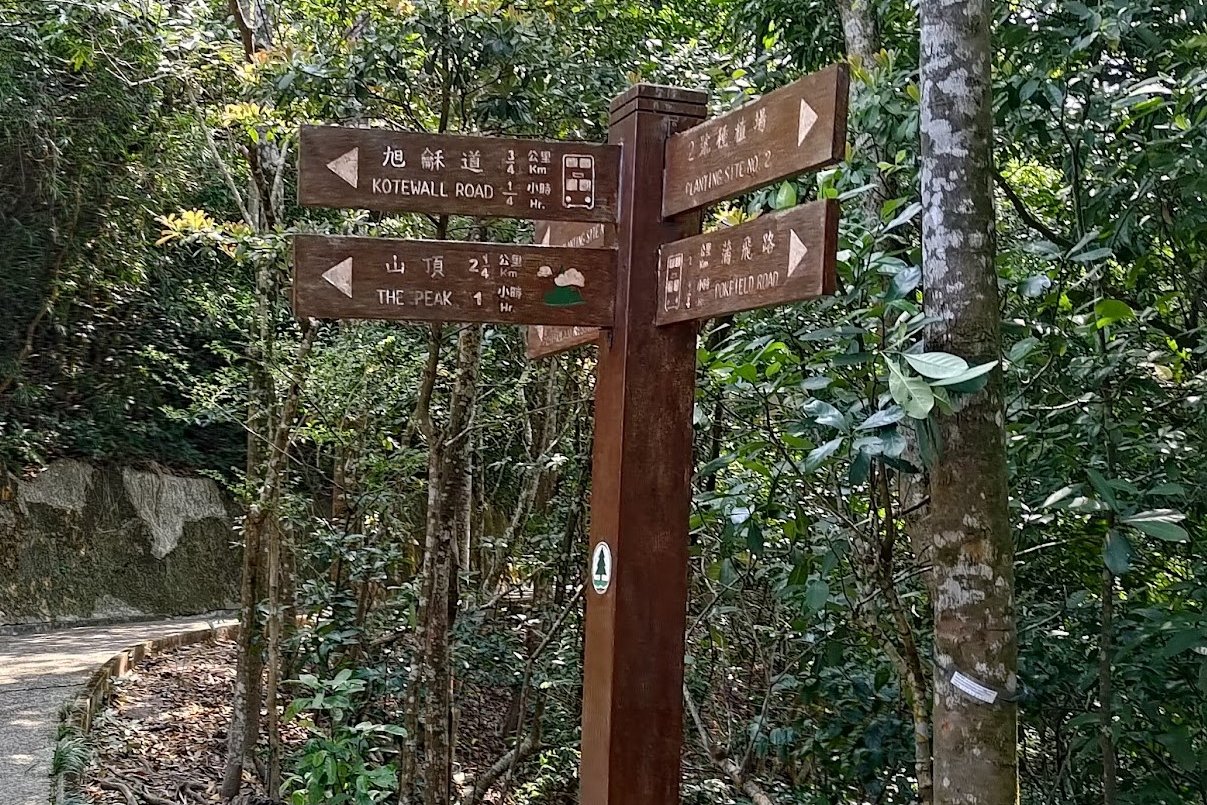
At the next flat section, take the path to your right and keep a lookout for a set of brown signs pointing to The Peak and Hatton Road. Climb the stairs beside the signs.
At the top of these stairs, you'll want to follow the sign to Hatton Road. A short distance away, you'll arrive at a crossroads.
For this boundary stone, you want to follow the sign to Pokfield Road. A short way down the trail, you'll spot a Buddha sculpture. On your left, a few meters away from the sculpture is an unmarked trail with yellow tape. Follow the tape down to the boundary stone.
Retrace your steps back to the crossroads from earlier.
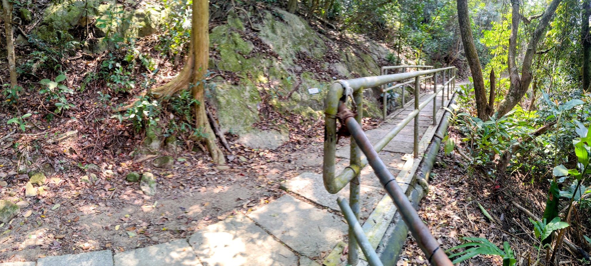
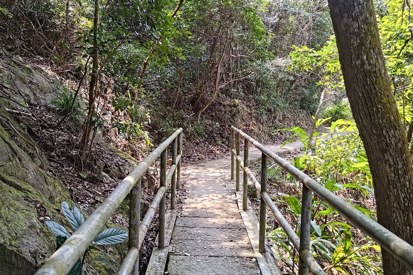
Getting to Boundary Stone 5 on Hatton Road
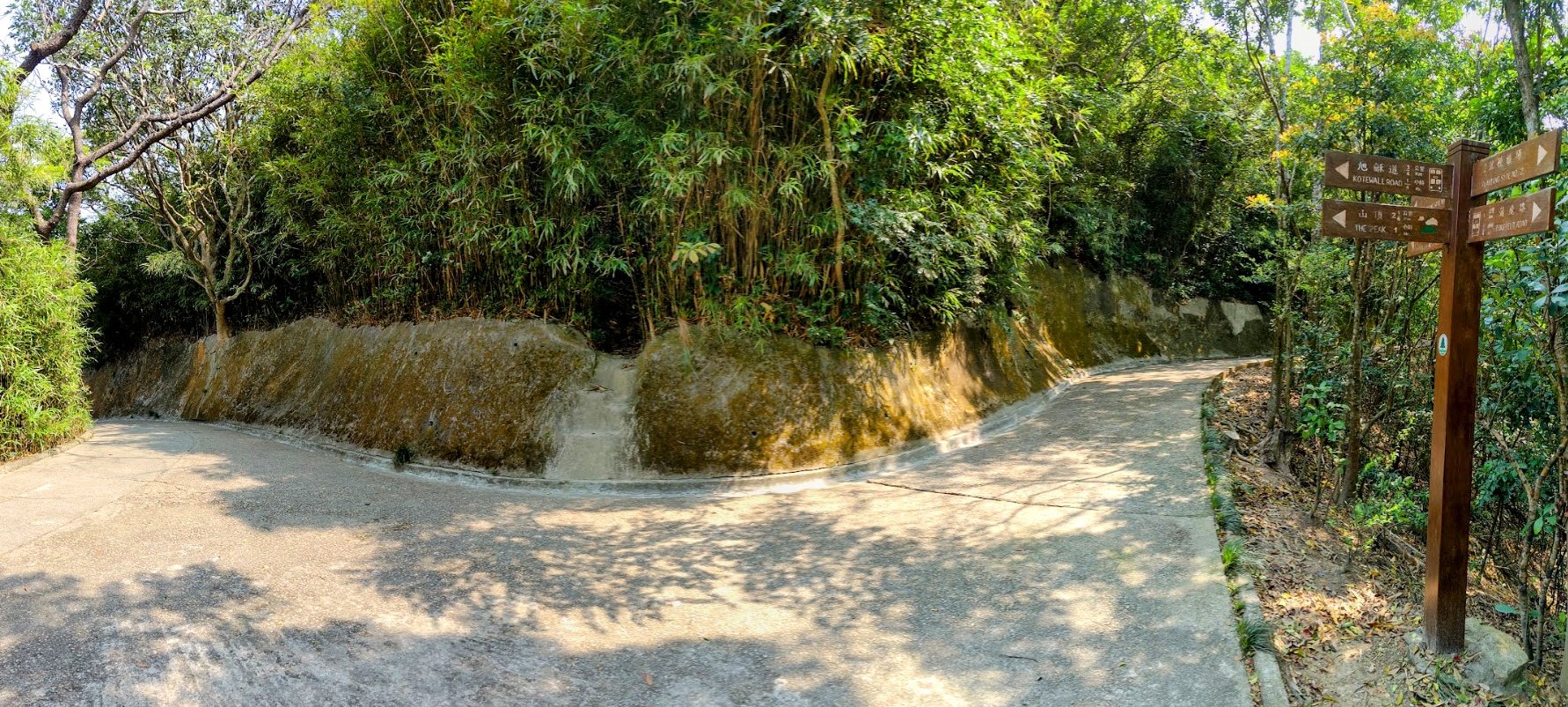
After retracing your steps back to the crossroads, follow the sign pointing to Kotewall Road. A short distance away is another sign pointing to Kotewall Road, which you should also follow.
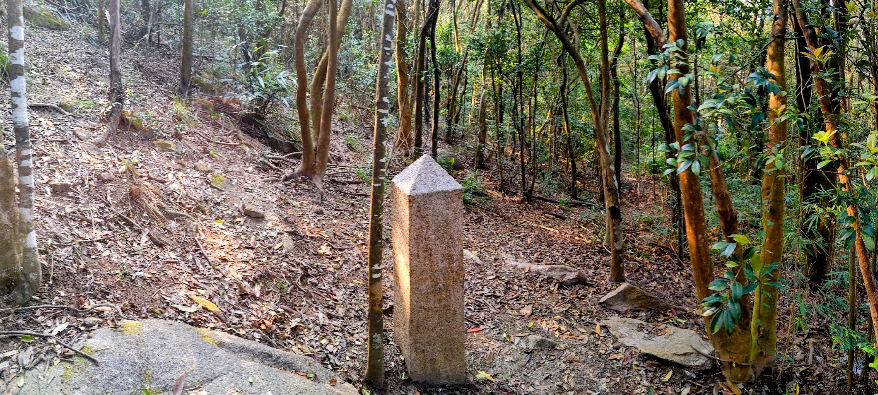
You will start descending down the Morning Trail (which is on Hatton Road. I know, it's confusing) and soon you'll come across the 5th boundary stone.
Getting to Boundary Stone 6 On Old Peak Road
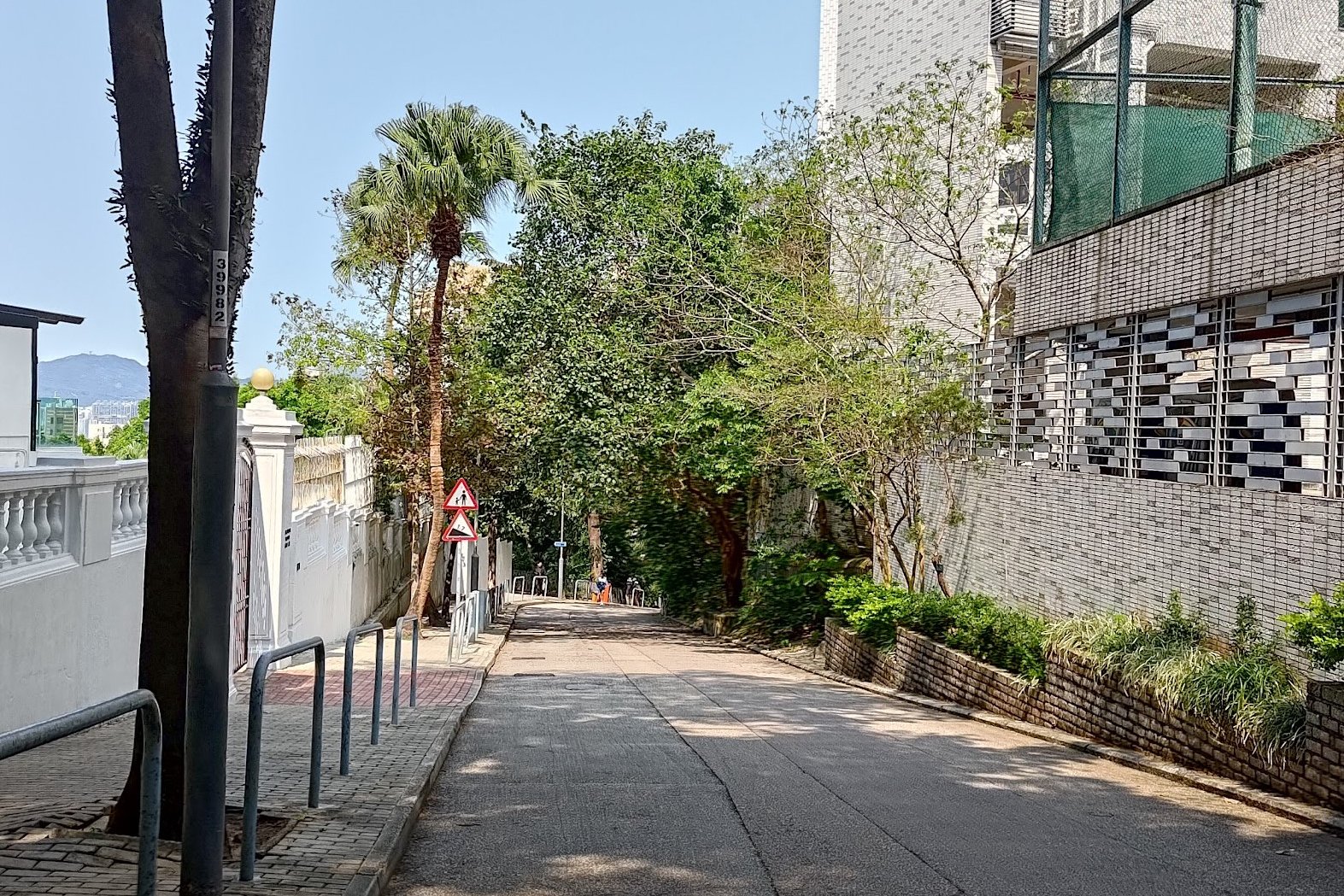
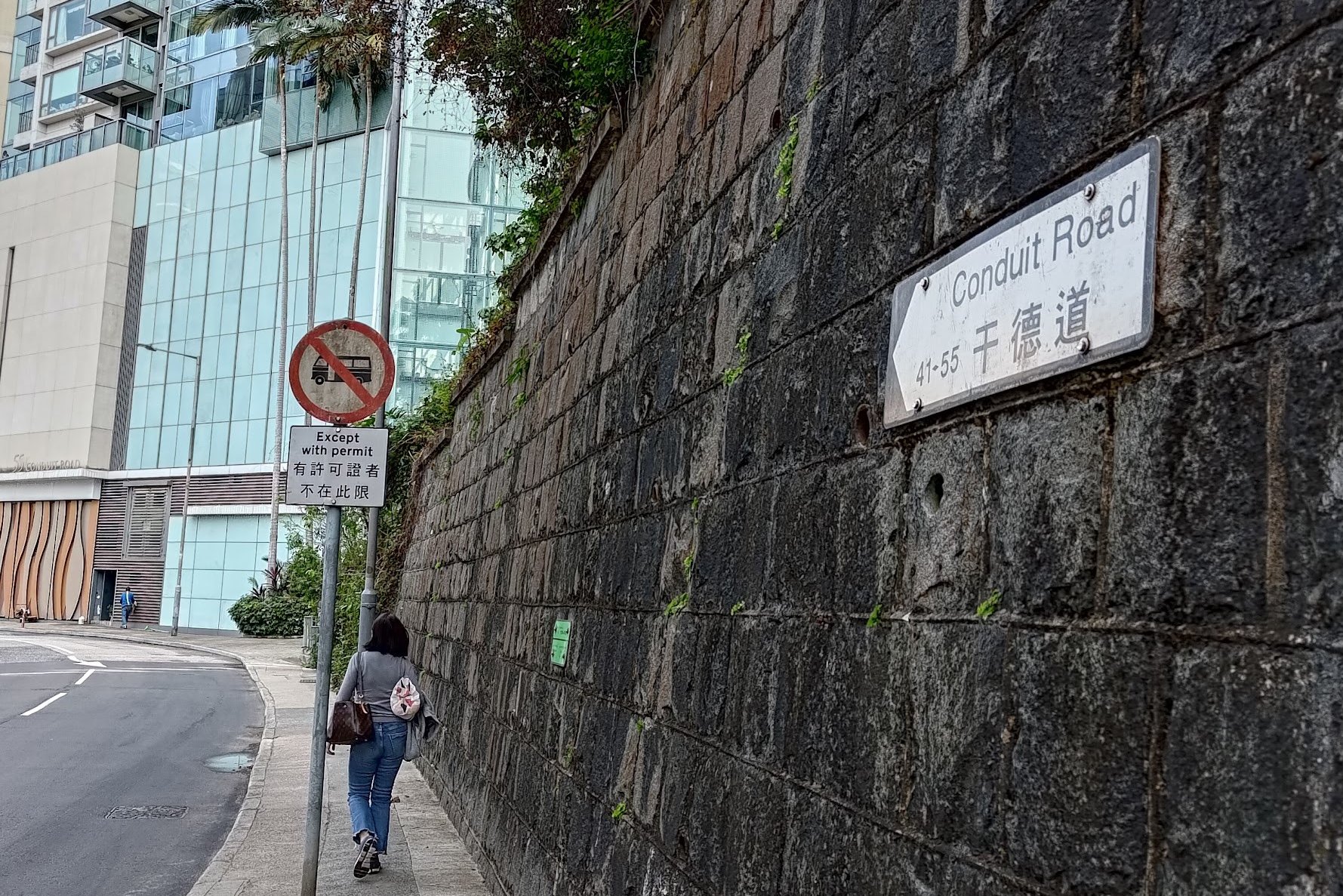

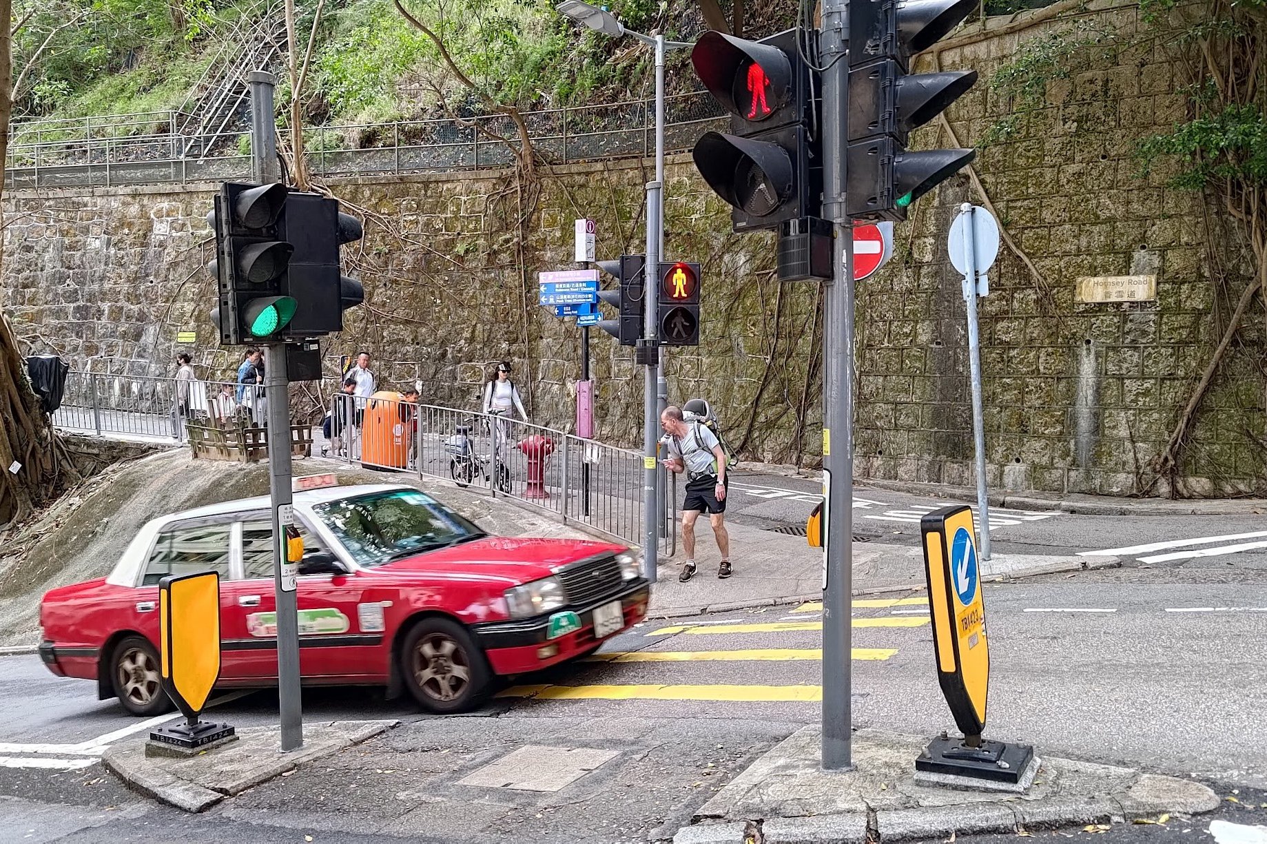
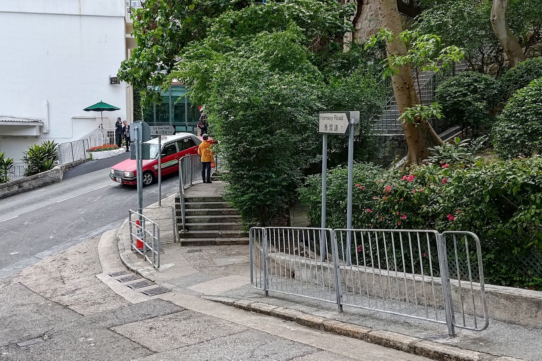


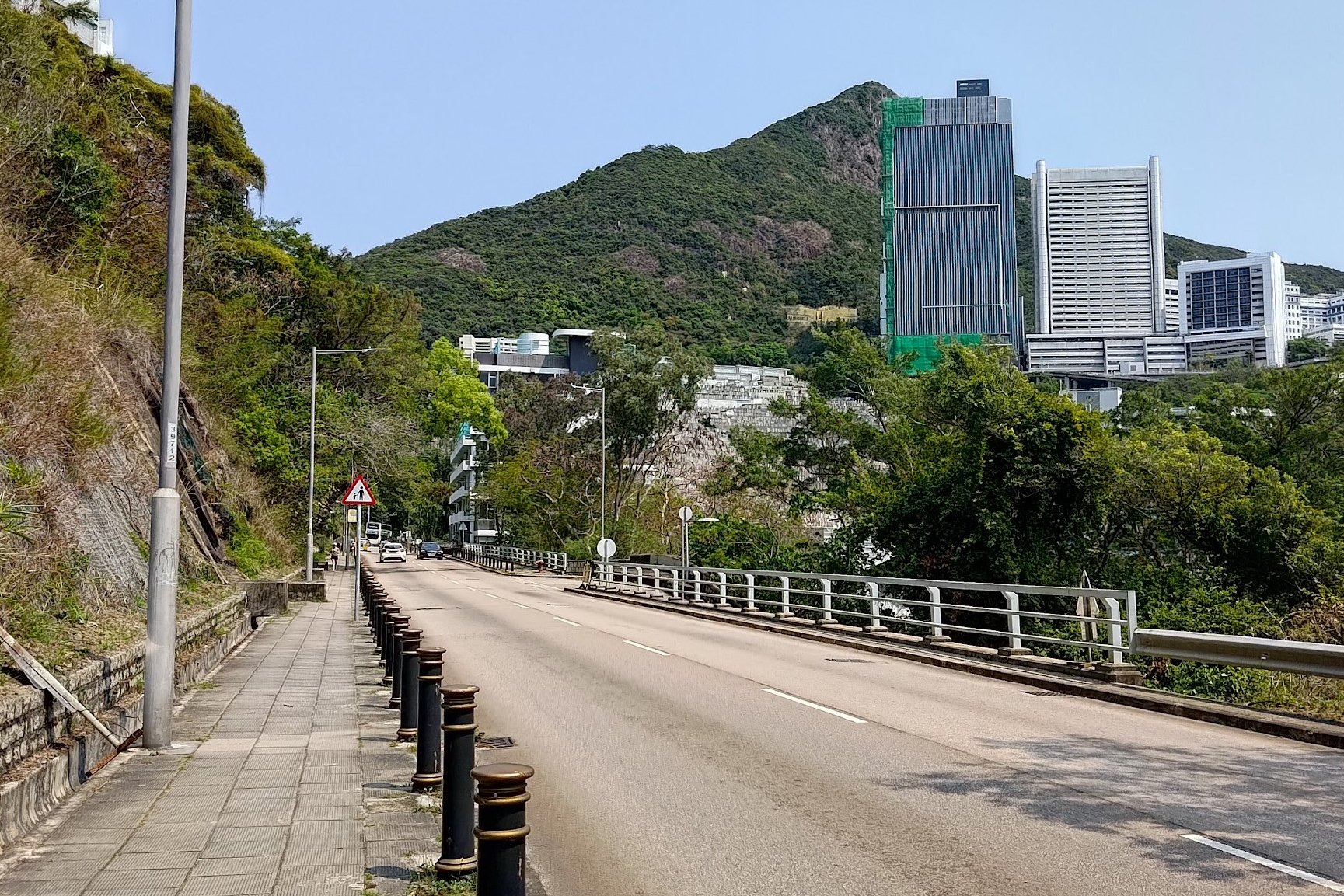
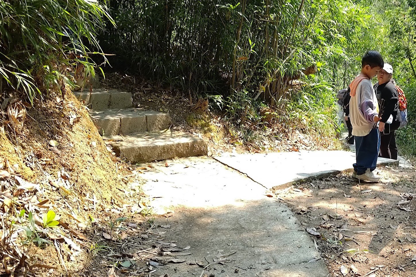
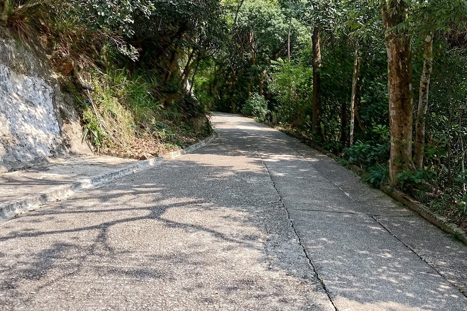
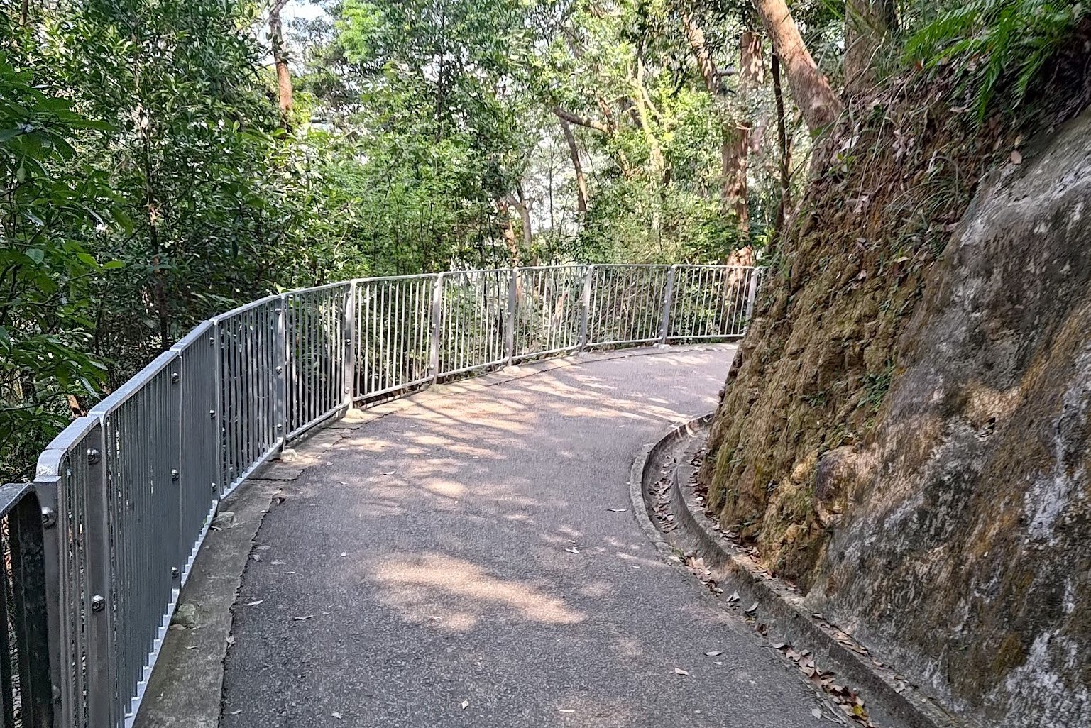
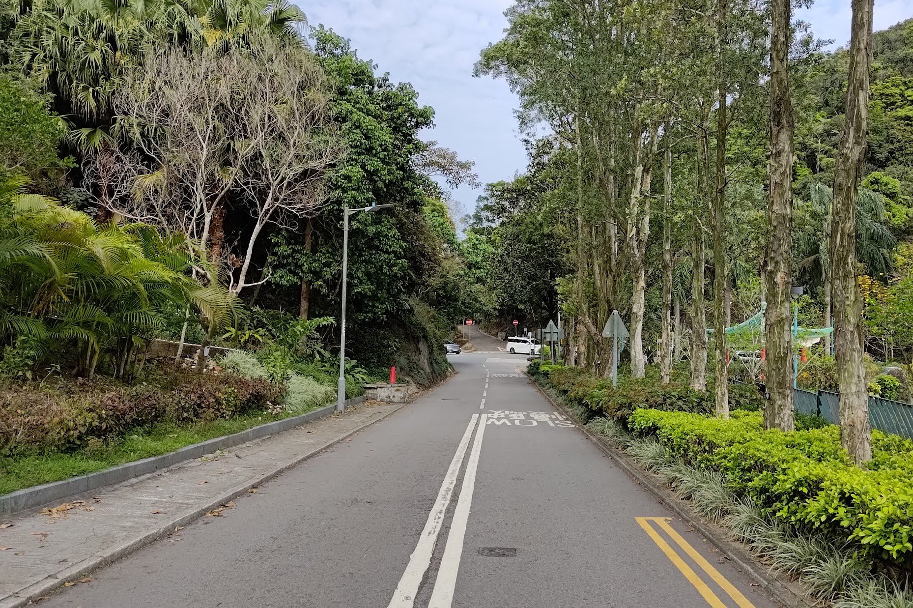
Follow the Morning Trail all the way down. Turn on to Conduit Road and follow it for a good while.
Later, you'll come across a crossing where you can connect with Hornsey Road. Follow Hornsey Road all the way to its end before you turn onto Old Peak Road.
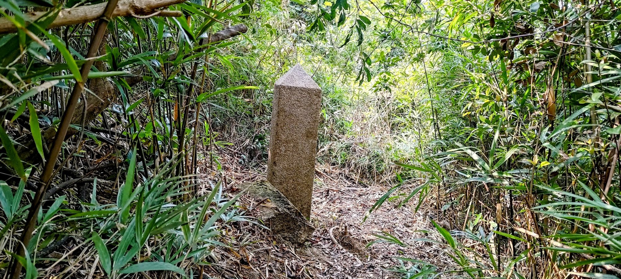
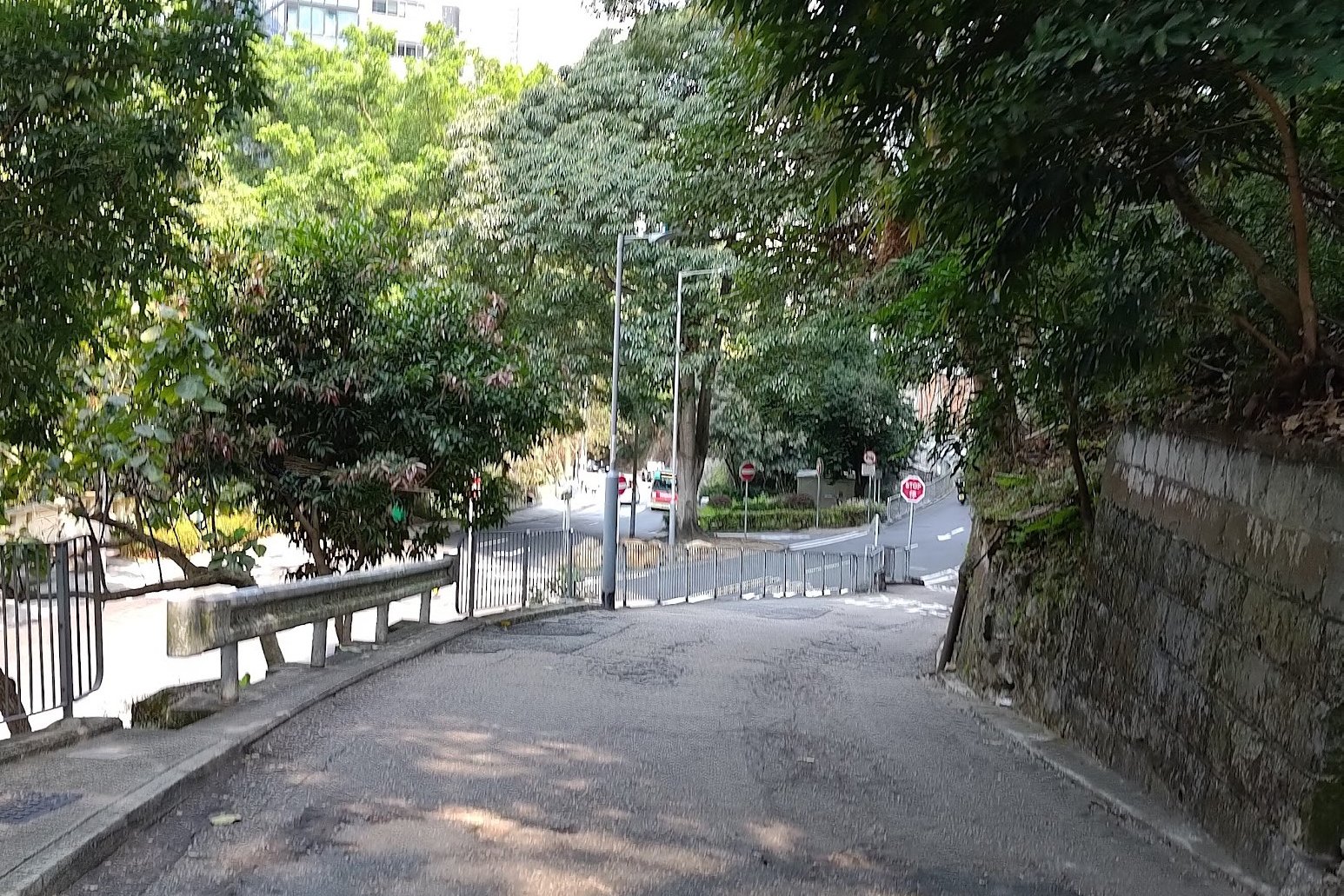
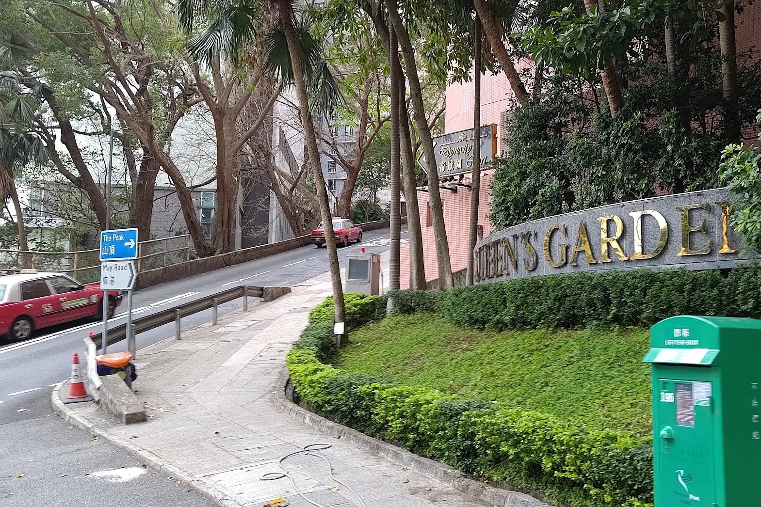
Follow Old Peak Road up until you see a series of blue and pink signs, one of which points to The Peak.
A short distance away from the signs is the next boundary stone. When you're done, head back down to the pink and blue signs.
Getting to the Destroyed Boundary Stone on Magazine Gap Road


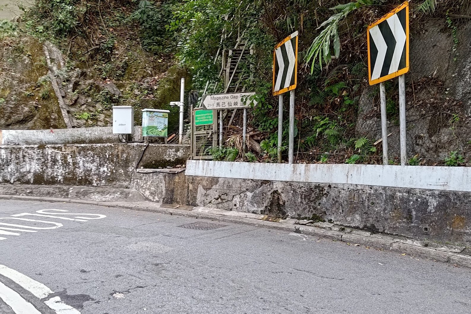

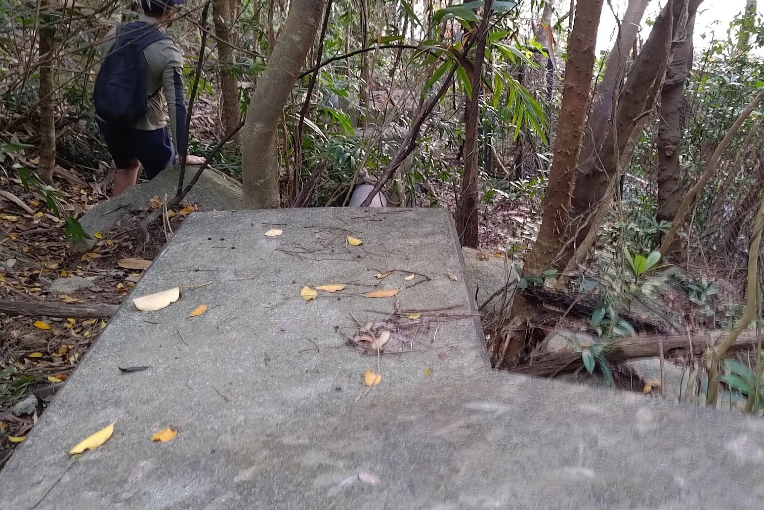
*This path leads to the toughest of all the boundary stones. If you don't want to bushwhack a lot and risk getting lost, switch to Bowen Road when you reach May Road and you will connect directly with boundary stone 8.
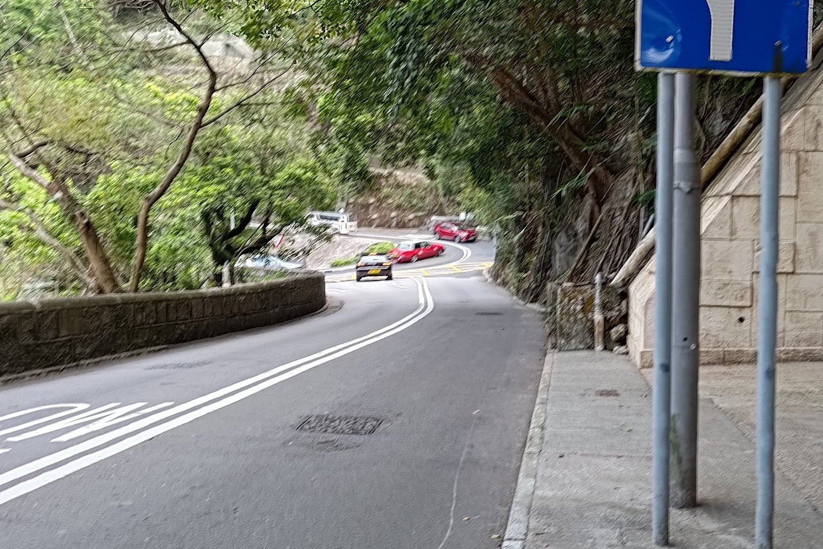
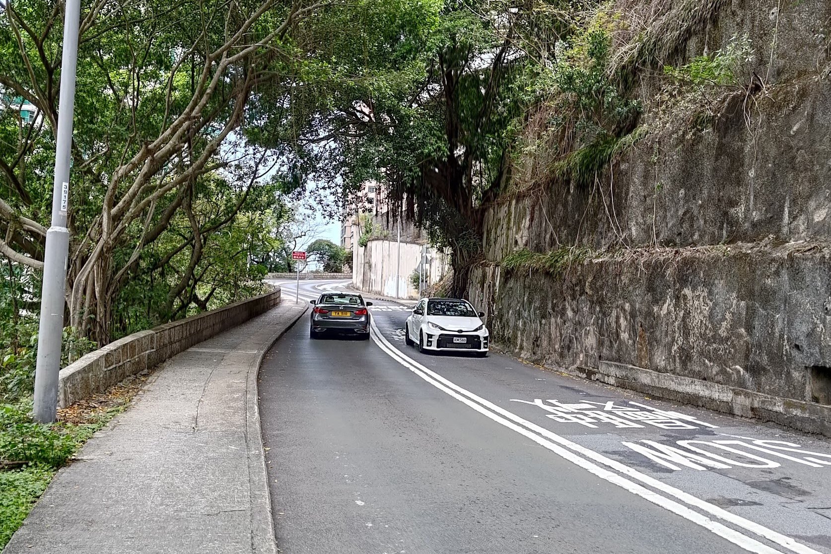
Walk down Tregunter Path, which is right beside the pink and blue signs. Be really careful here as there's no sidewalk for a while.
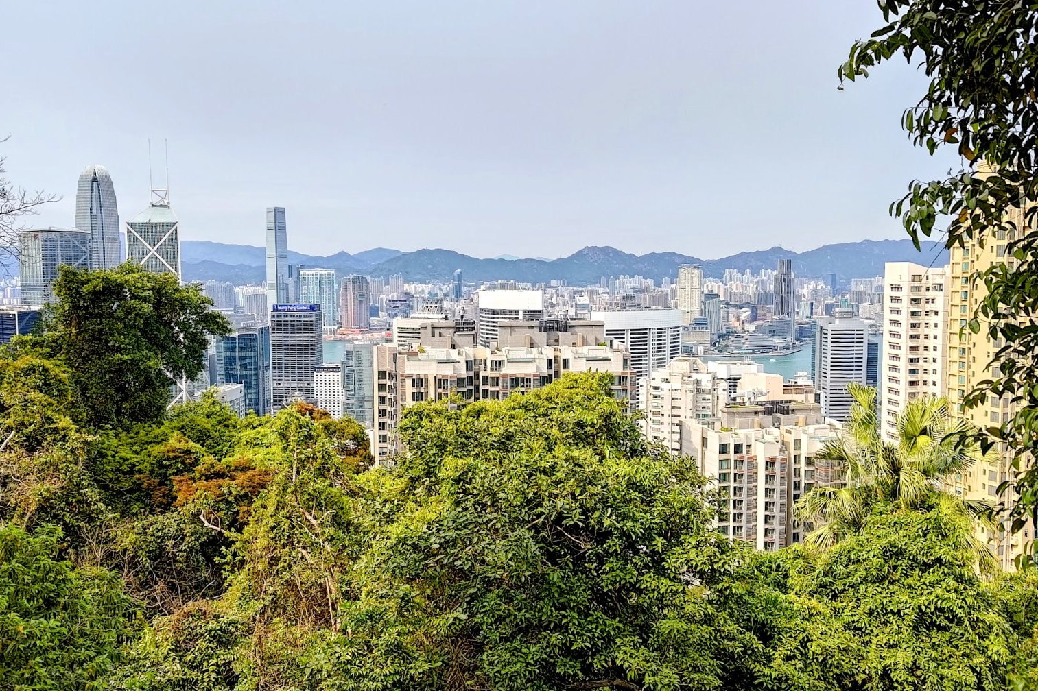
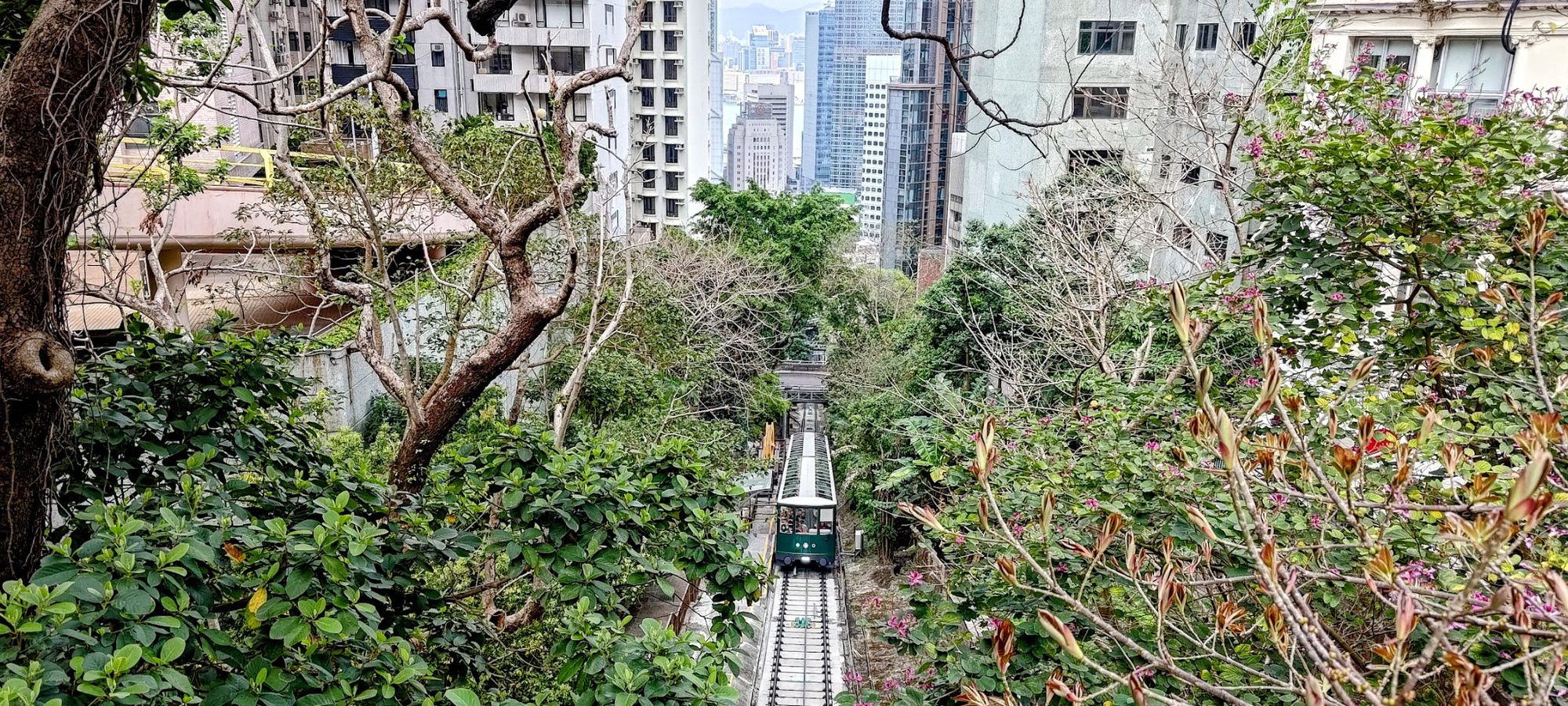
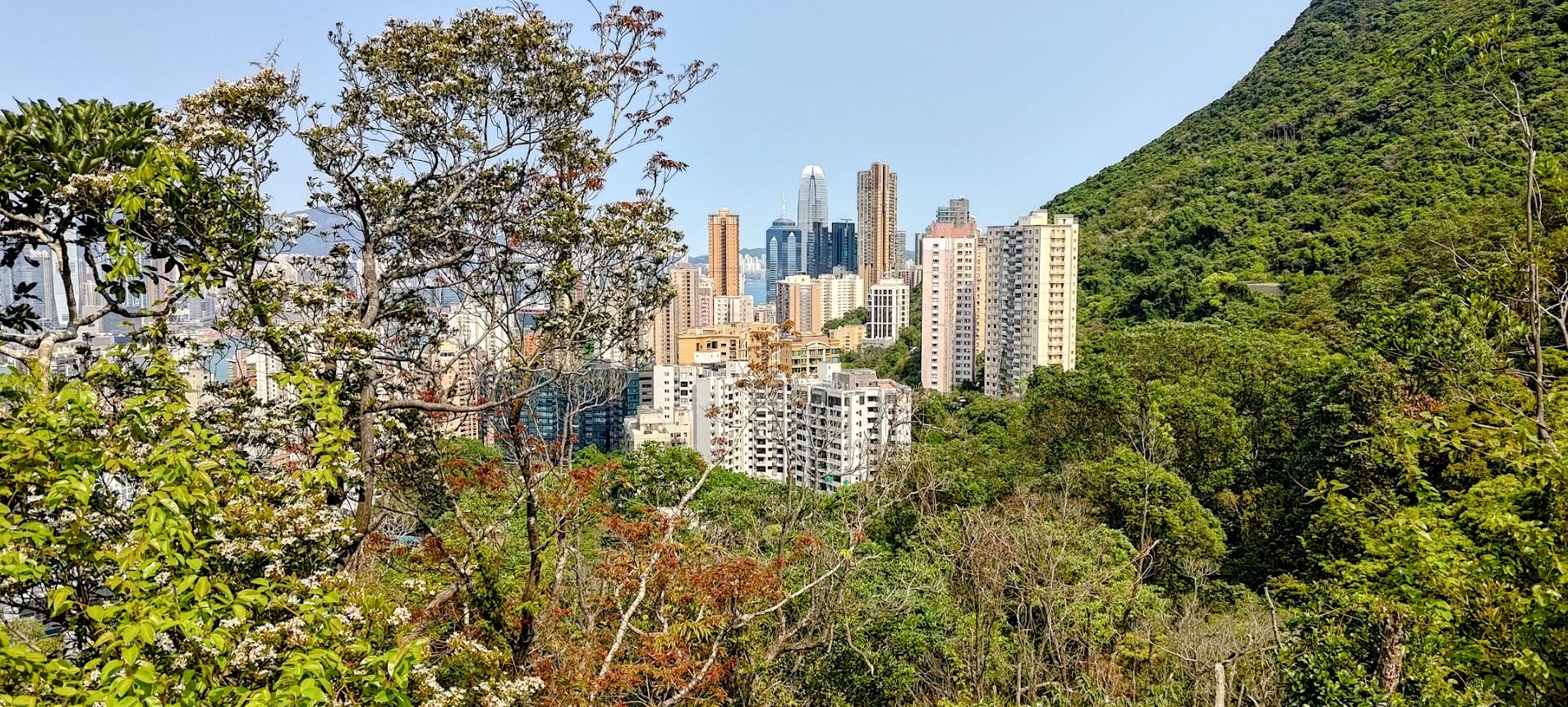
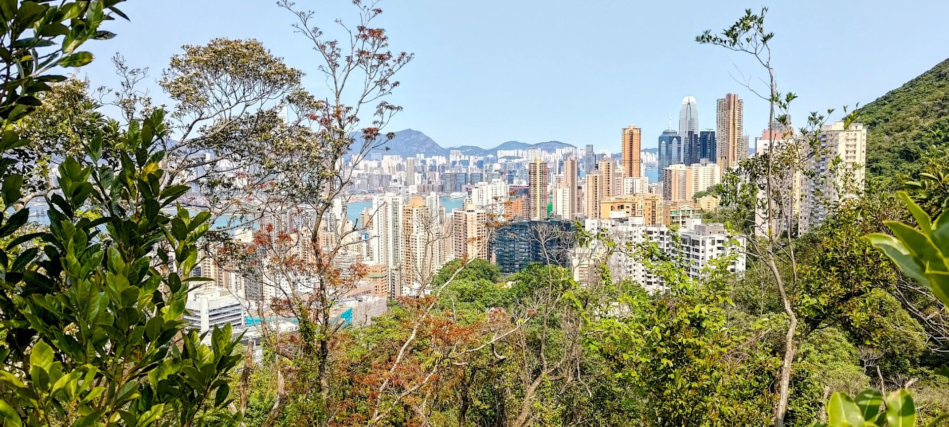
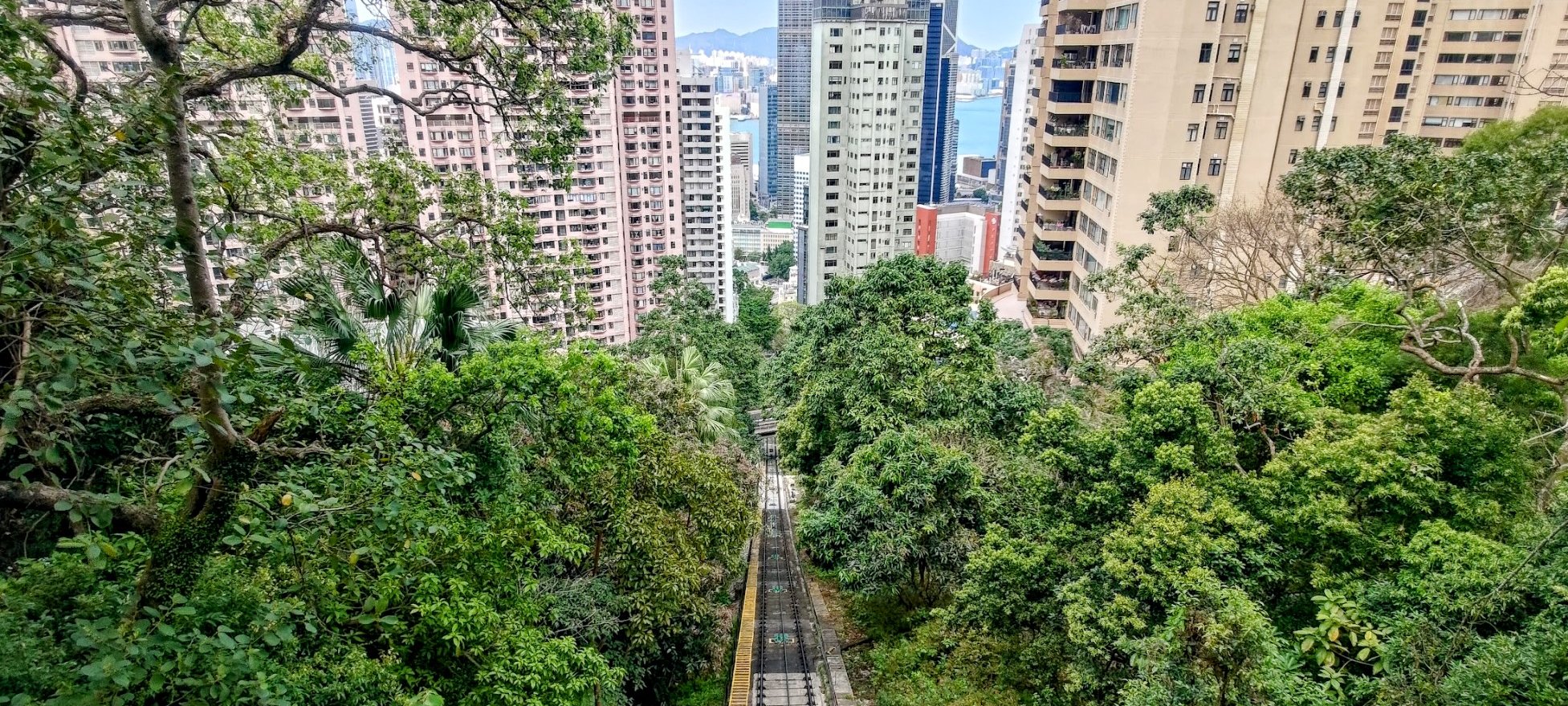
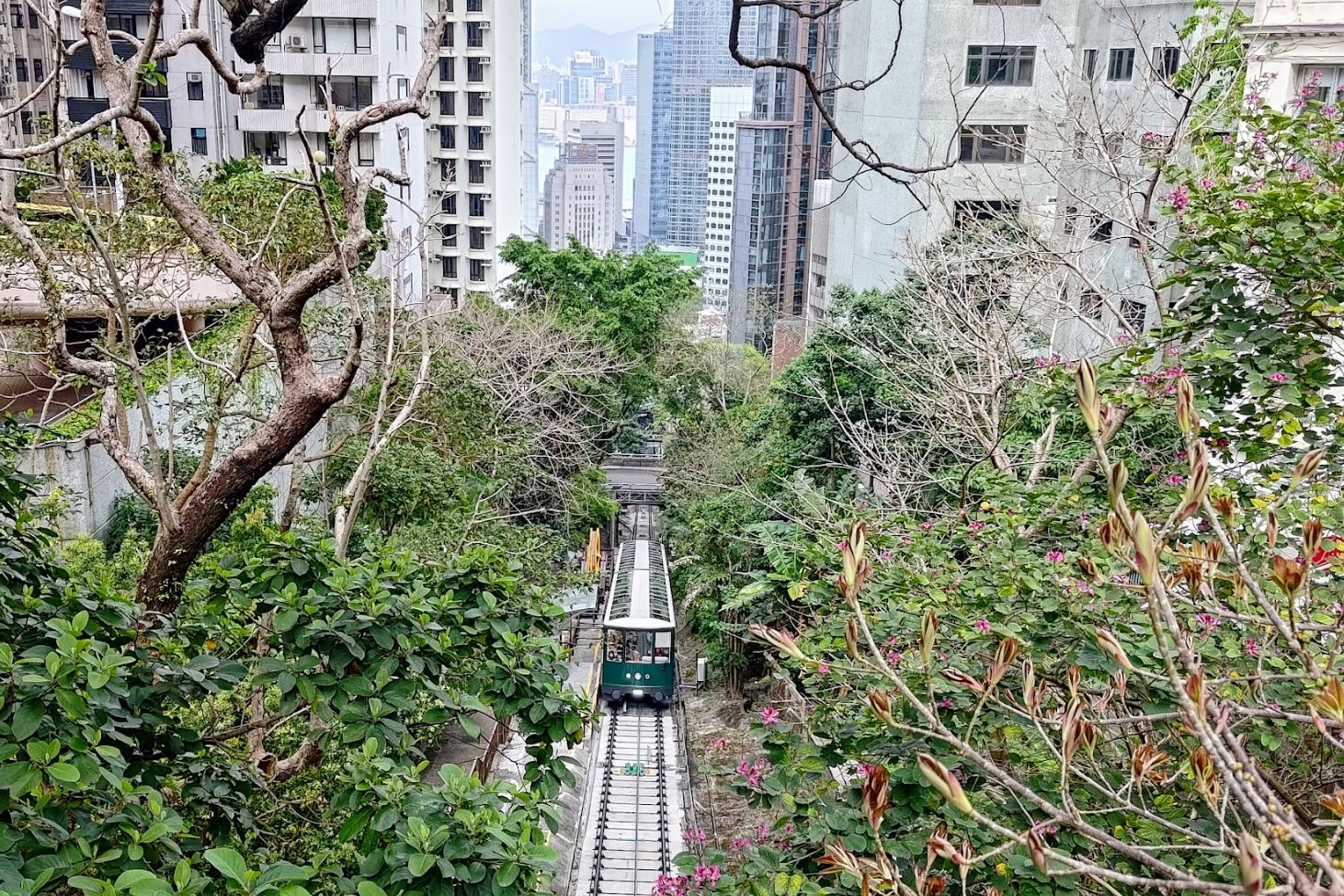
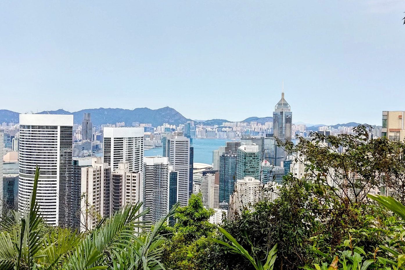
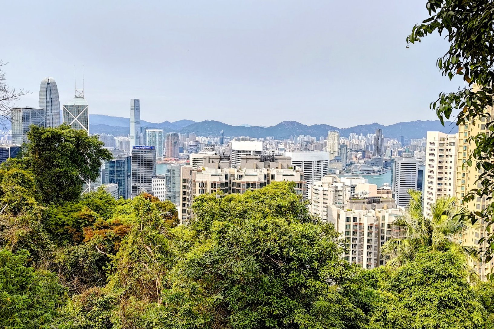
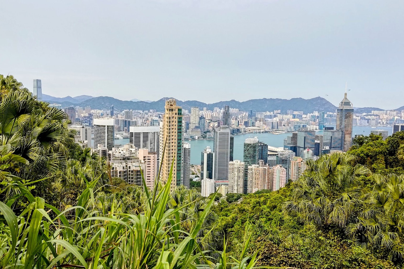
You'll be following Tregunter path for quite some time until is winds downward and connects with May Road. From here, you can actually get really awesome views of the Peak Tram!
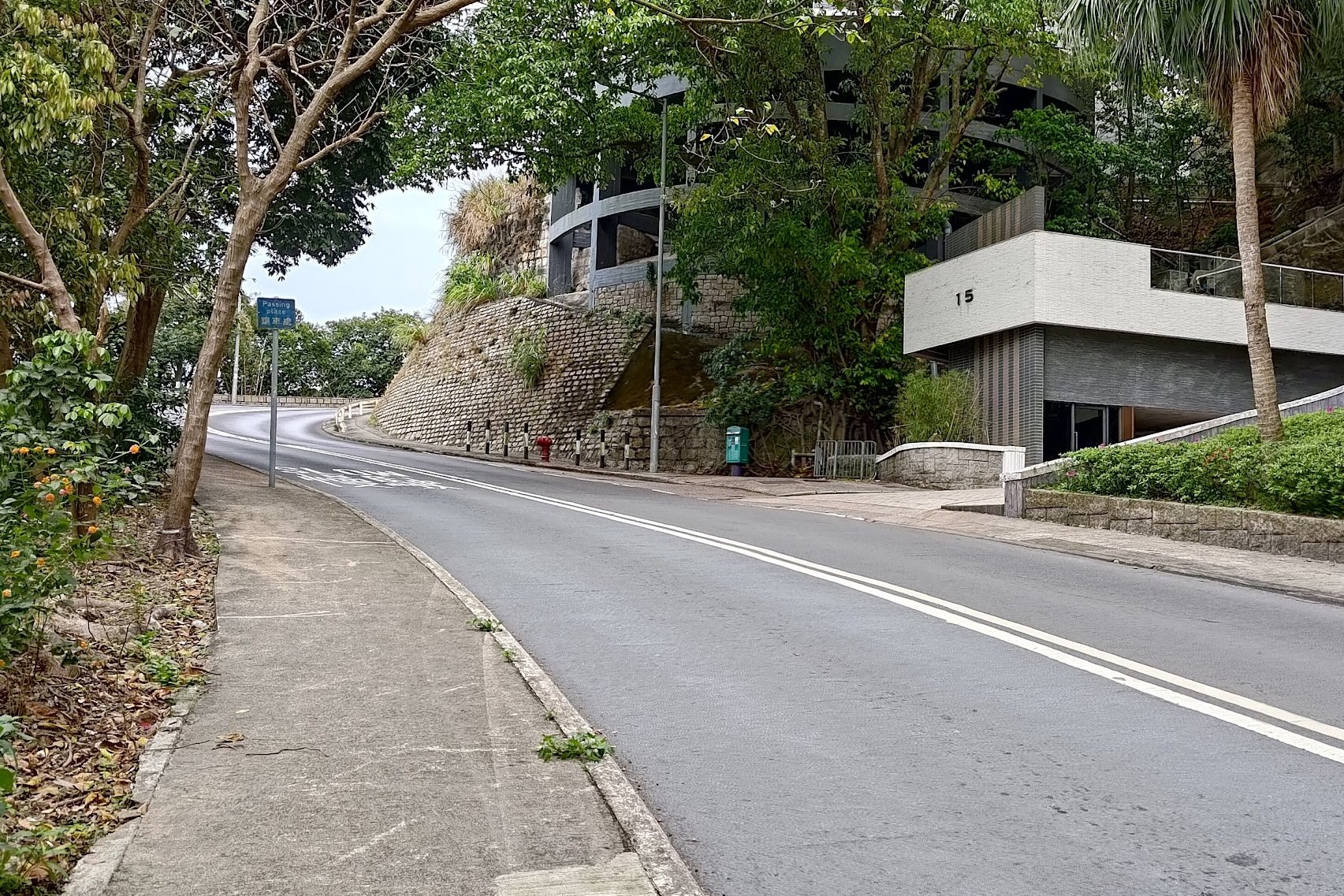
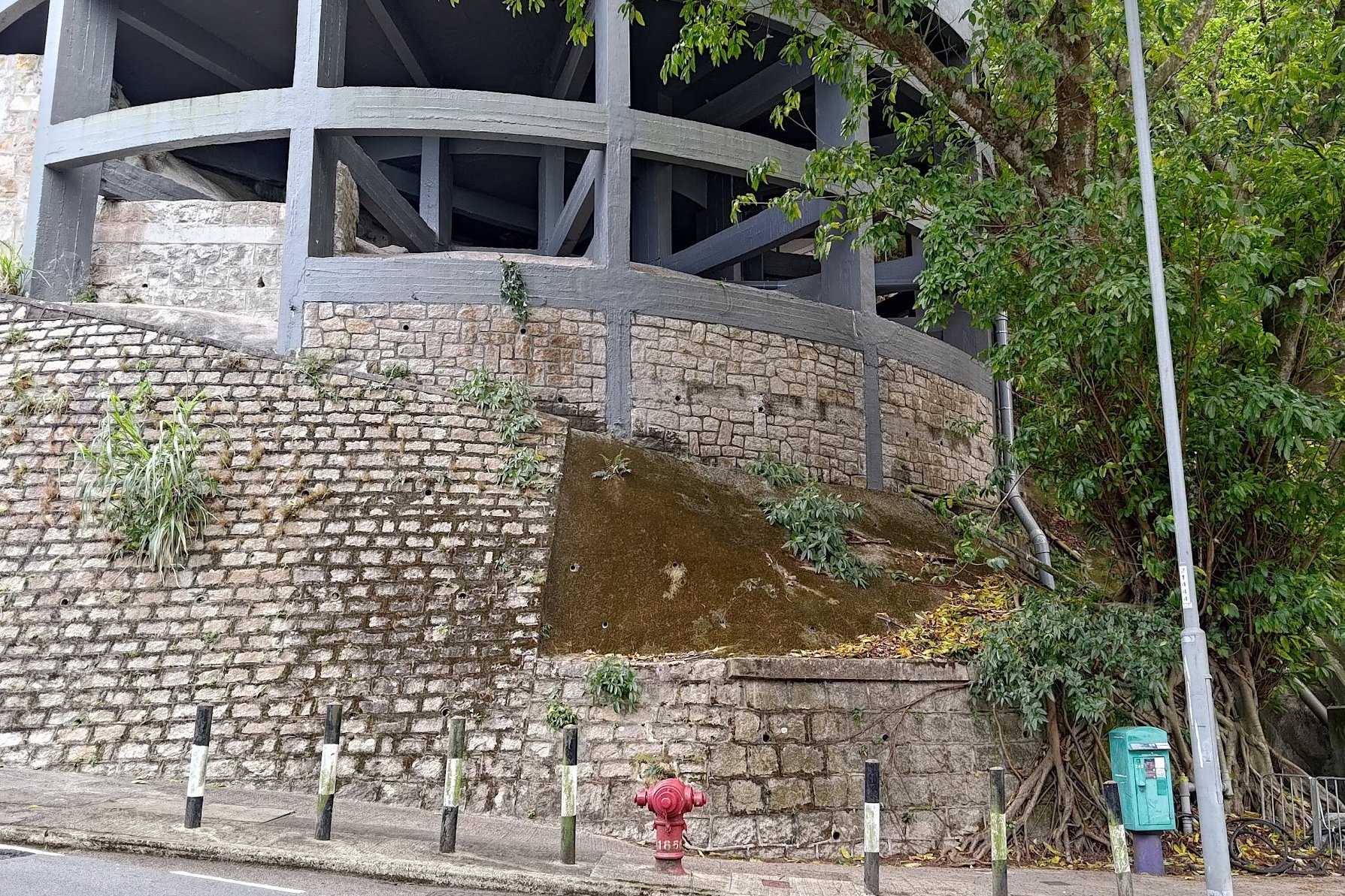
At the very end of May Road (which is super close by), follow Magazine Gap Road upward. It's not too long of a walk before you arrive at Number 15 Magazine Heights, which was the former location of a boundary stone. Sadly it went missing in 2007 during slope main, which is seriously ridiculous.
There is no trace of it any longer.
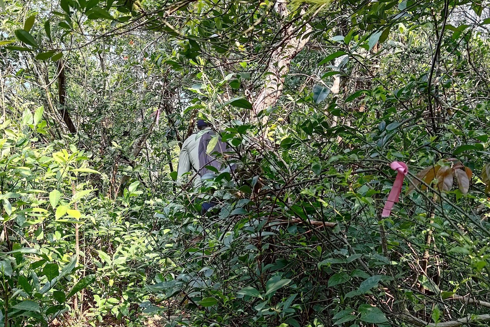
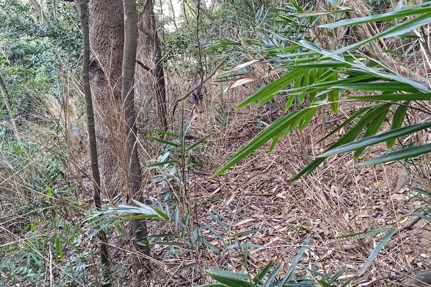
Getting to Boundary Stone 7 Near Mount Nicholson


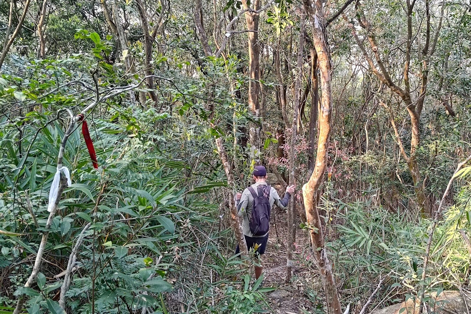

*This boundary stone (the final hidden one, found and verified in 2021) is really tough to find. You can skip this section entirely by switching to Bowen Road back at May Road. You will also skip the destroyed boundary stone if you choose this path
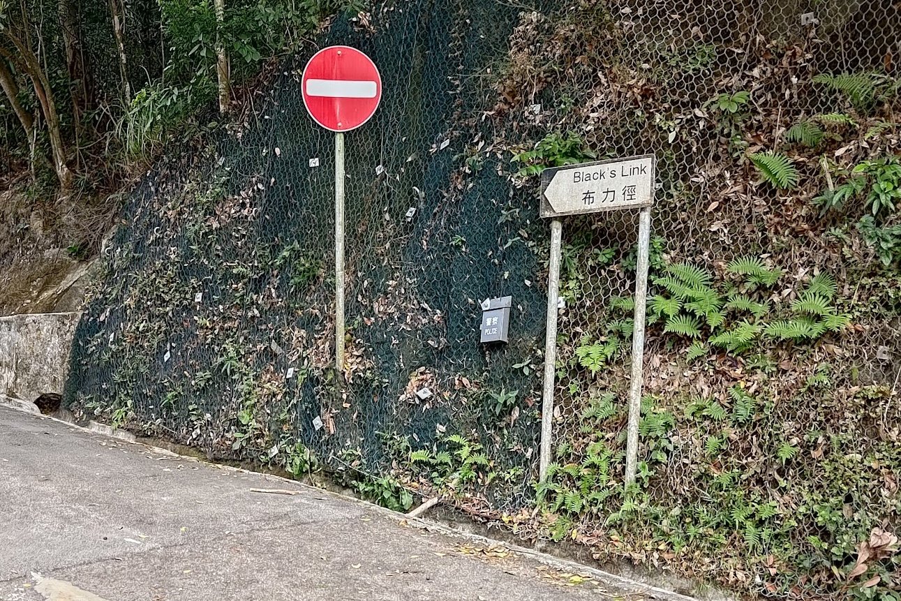
Continue hiking to the top of Magazine Gap Road, where you'll want to cross the street to Coombe Road, which is directly opposite.
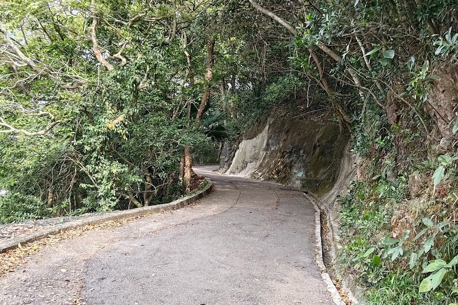
Follow Coombe Road all the way down until you arrive at another crossing. Here, you'll want to head to the opposite side and begin following Black's Link.
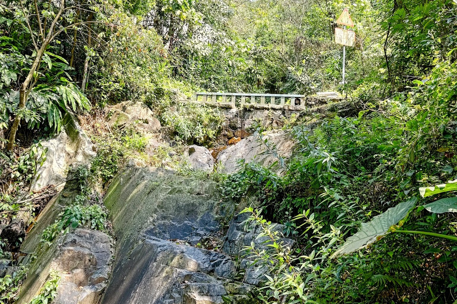
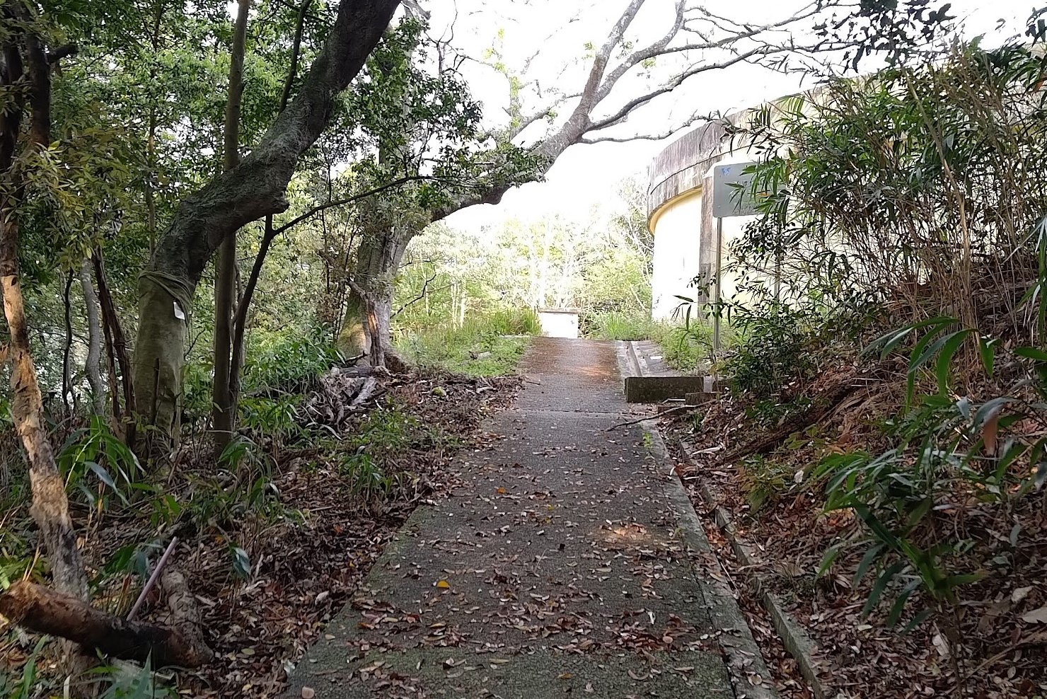
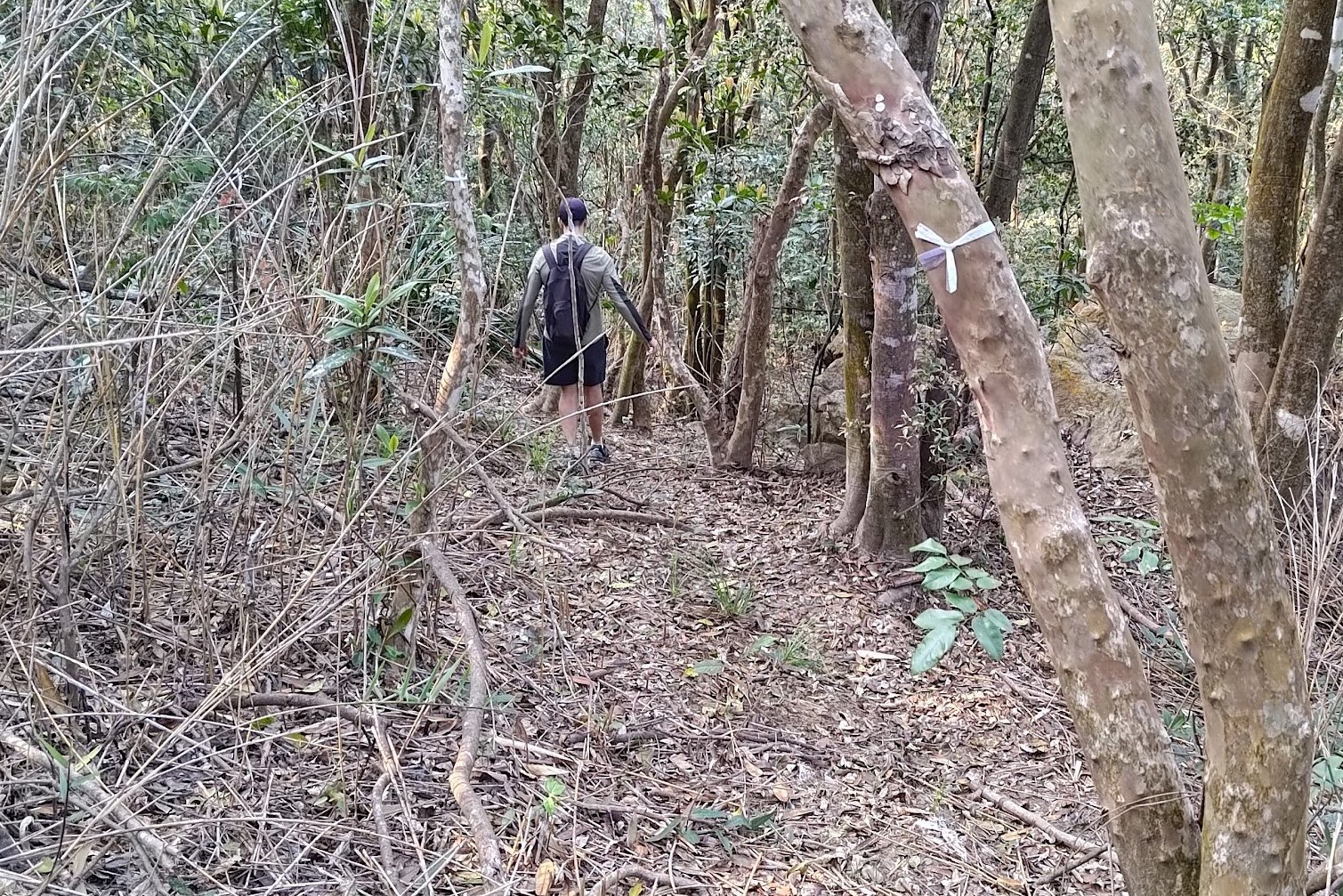
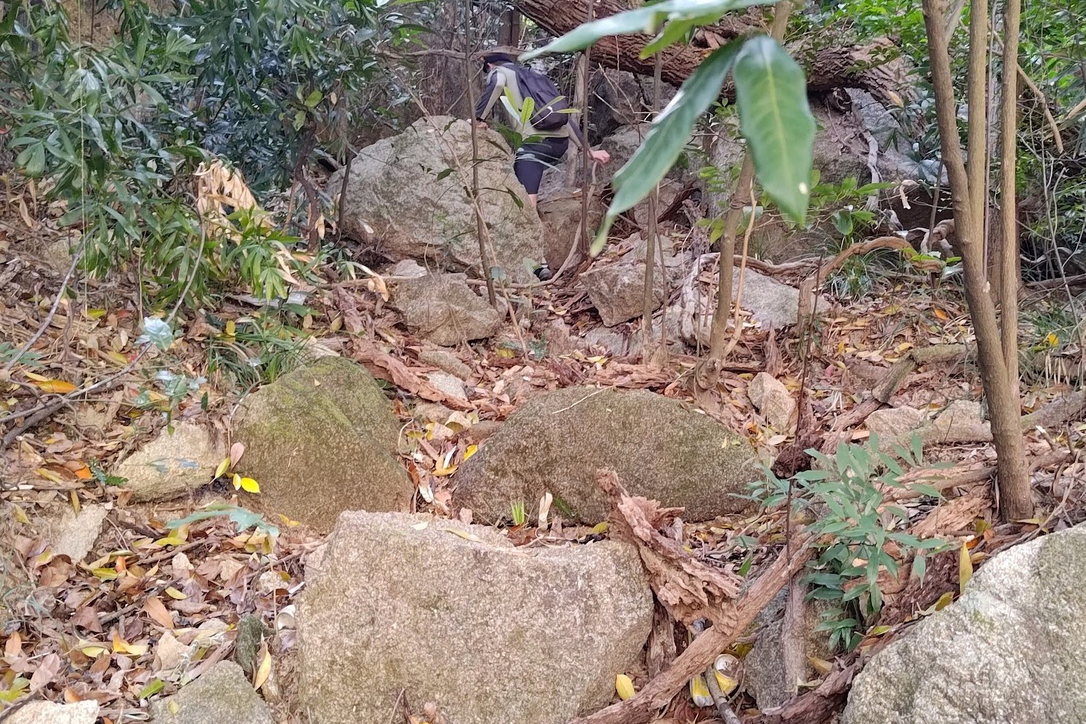
Walk along Black's Link for 15-20 minutes until you arrive at a set of maintenance stairs. Go all the way down those stairs and skirt around the property at the bottom.
After heading past the abandoned guard hut, you'll want to follow the drainage path just beside the large HKWW structure. It will take you into the forest where you'll need to navigate across some large boulders and follow an unofficial path.
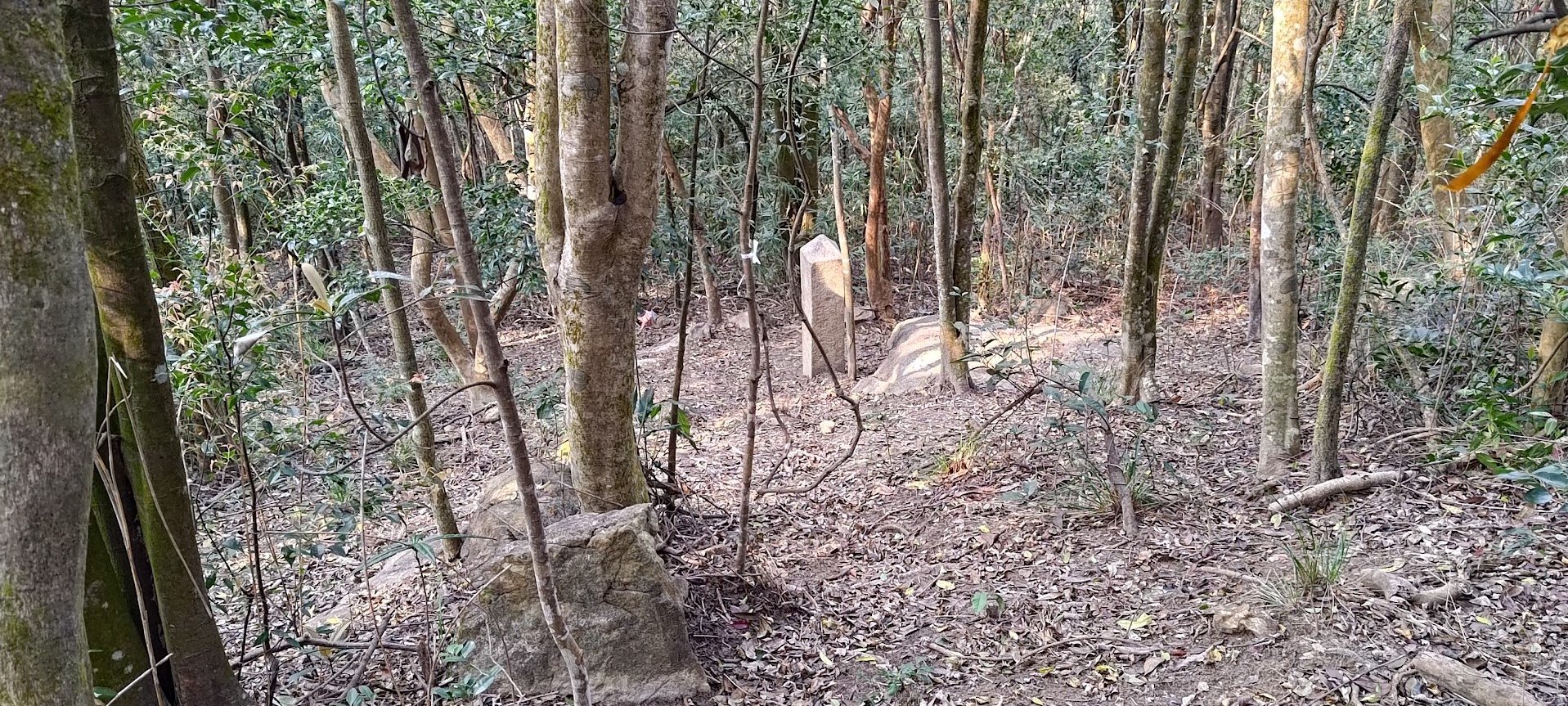
This path is marked by plenty of ribbons, so continue along it and eventually, you will turn left and begin heading down to the boundary stone.
After you find it, retrace your steps back to the HKWW structure.
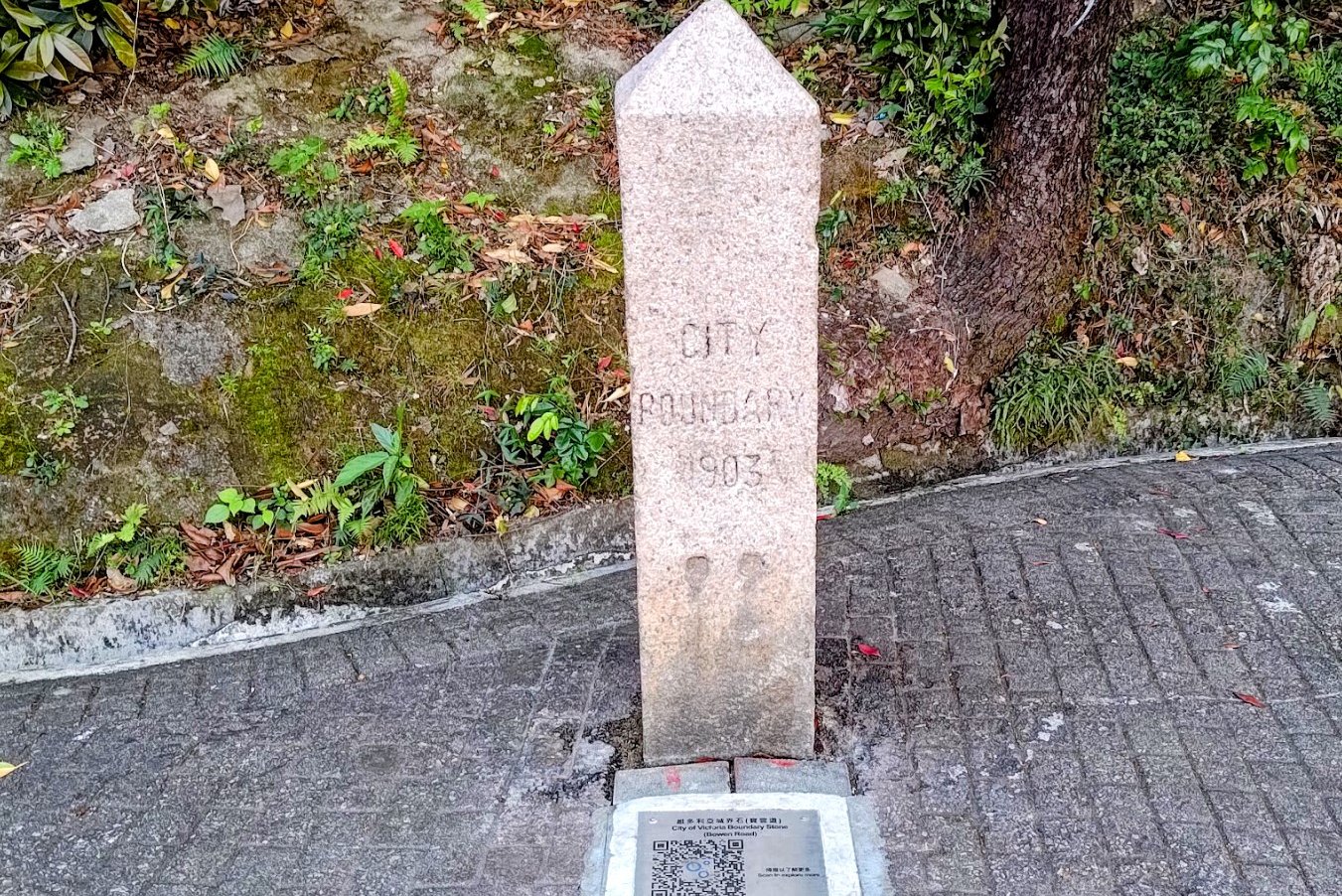
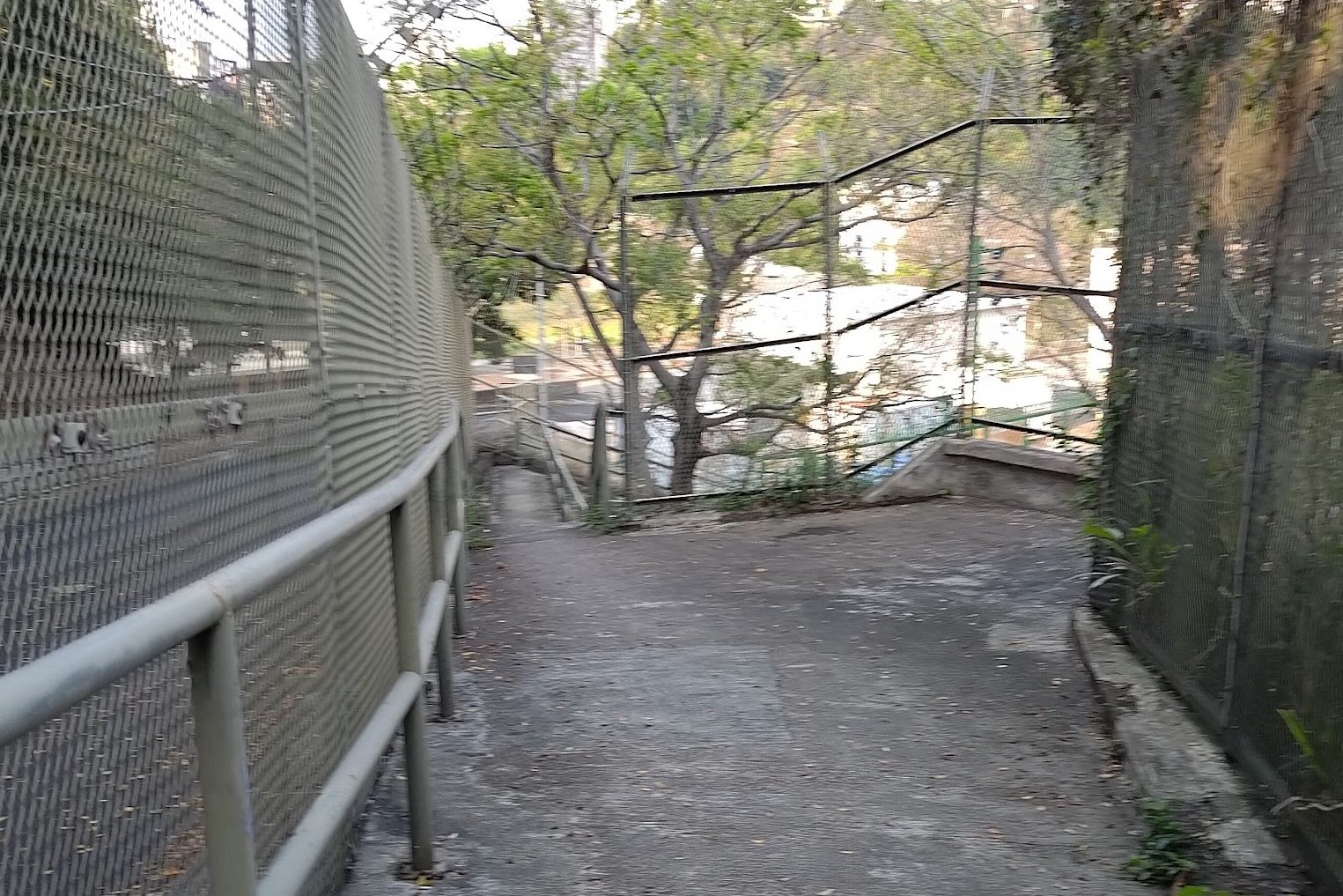
Getting to Boundary Stone 8 on Bowen Road
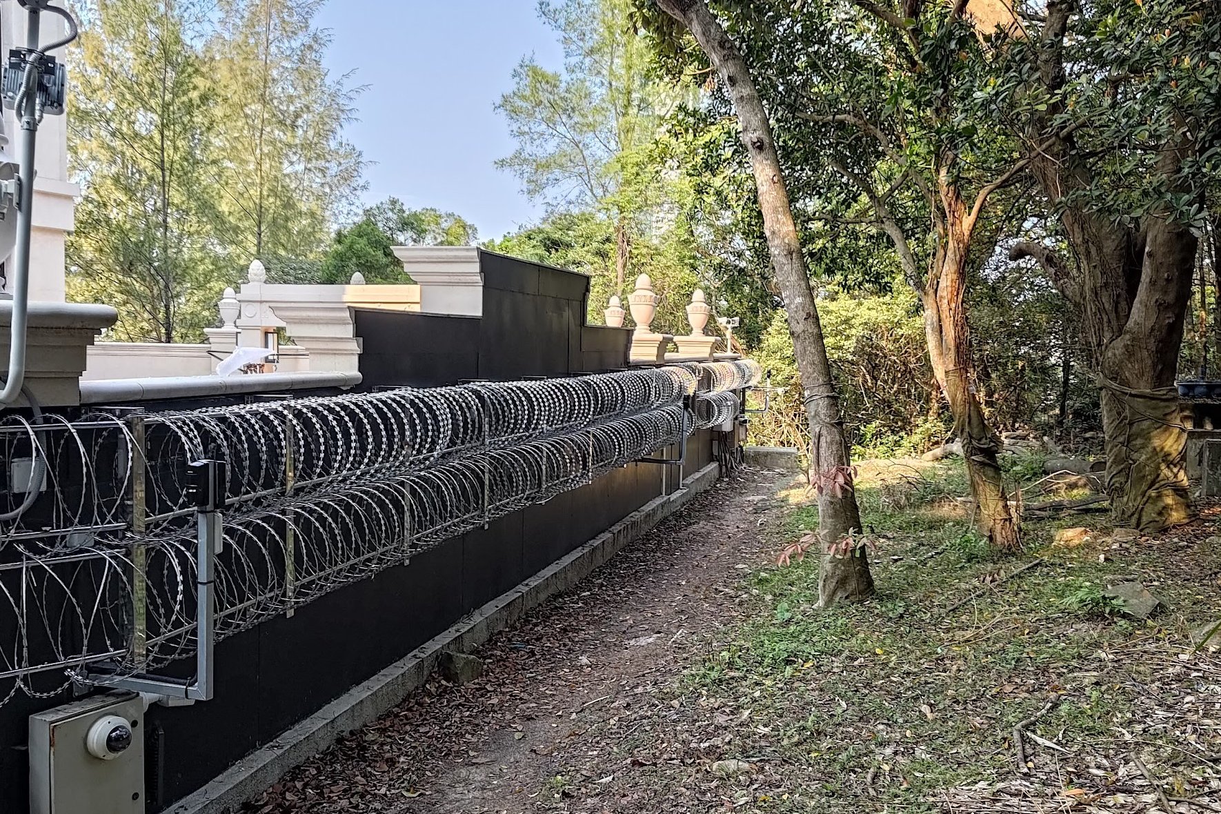
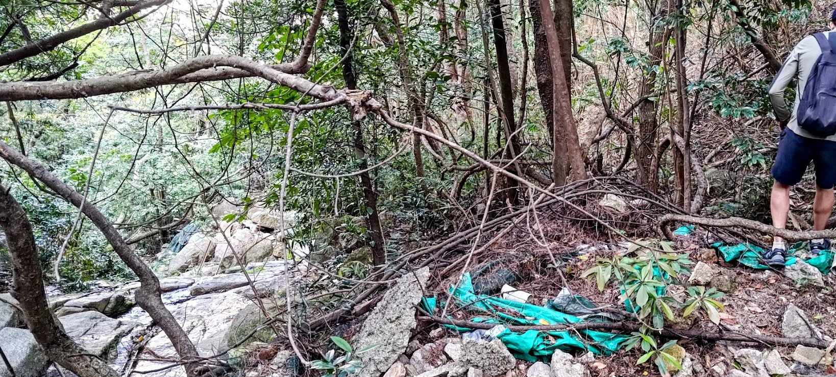
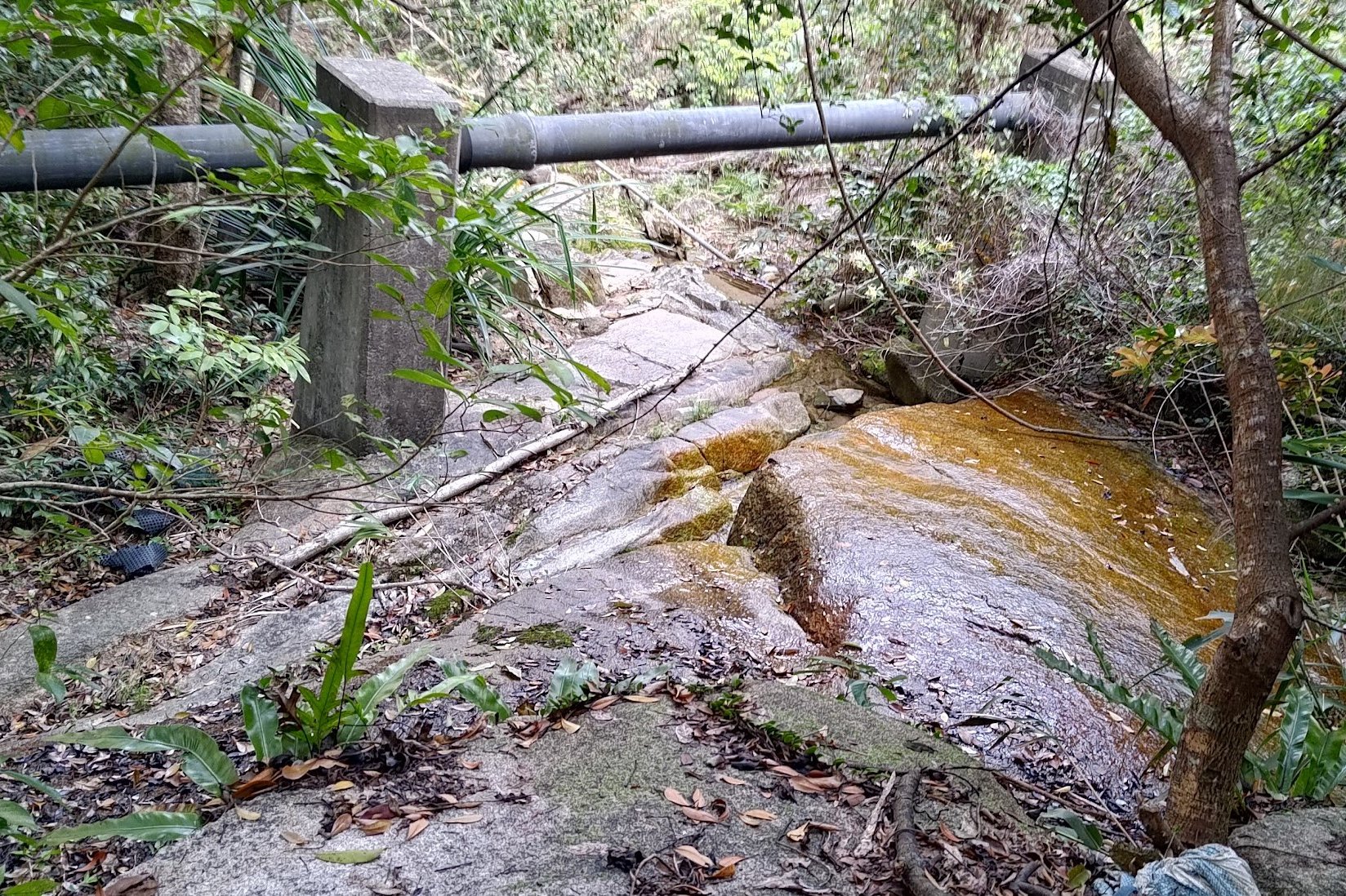
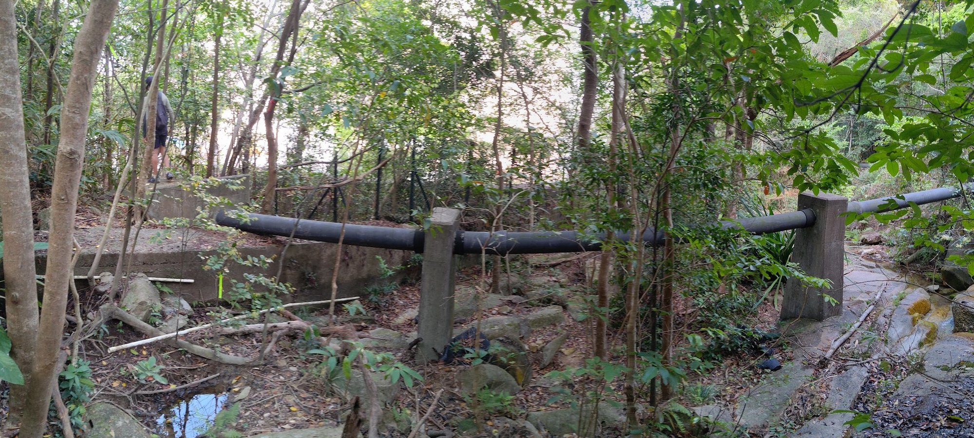


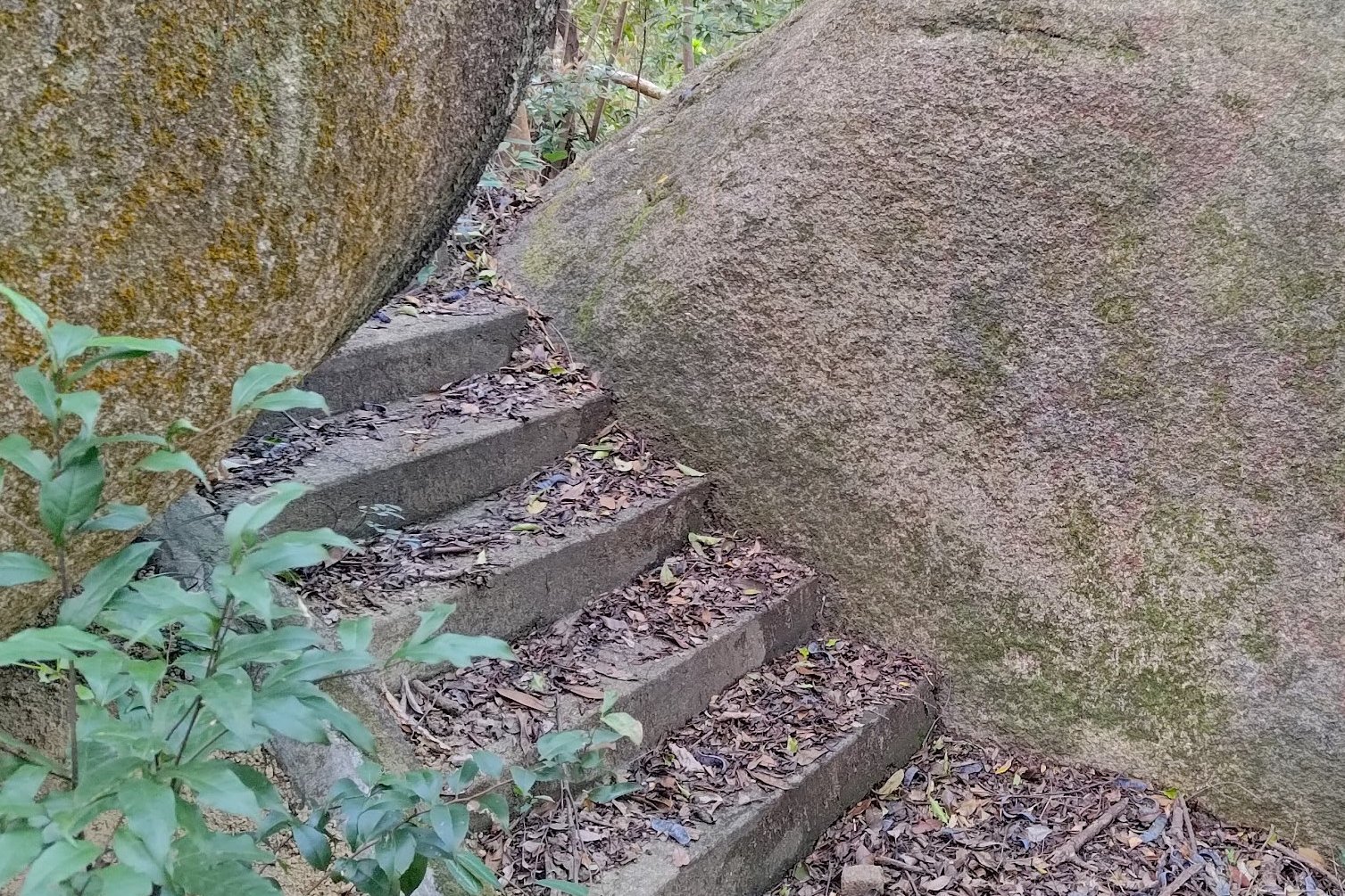

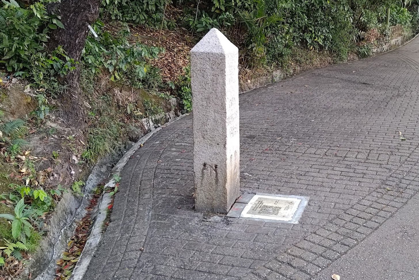
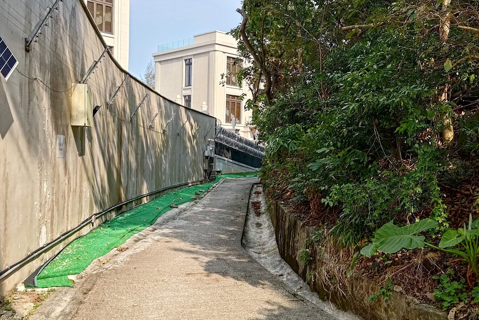
Once you're back at the property, go around the black wall with the barbed wire fence, and at the very corner of the wall, look for drainage stairs that head down.
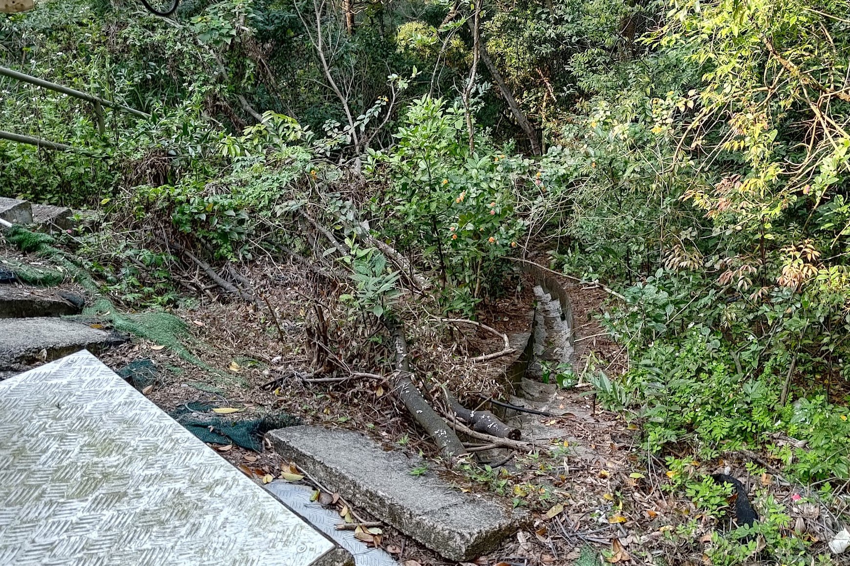
After descending down the stairs (they're very overgrown so be careful), you will arrive at a rocky waterfall of sorts. The actual trail is somewhere on the left of the rocks. I went right.
If you go right, you have to keep heading down until you see a large pipe. Follow the pipe, and you'll arrive at a fence. From there, you need to head back up and you'll eventually connect to the trail that is somewhere on the left of that waterfall.
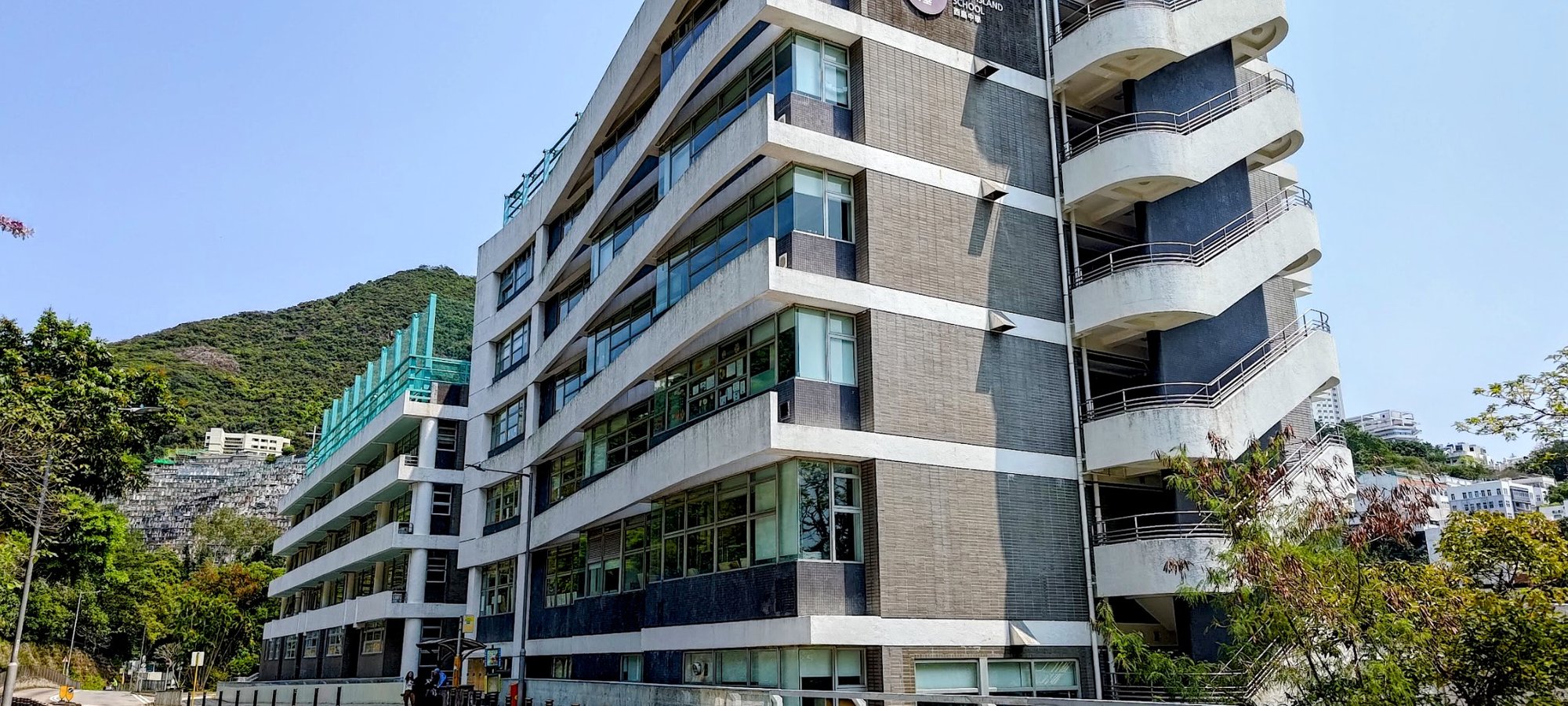
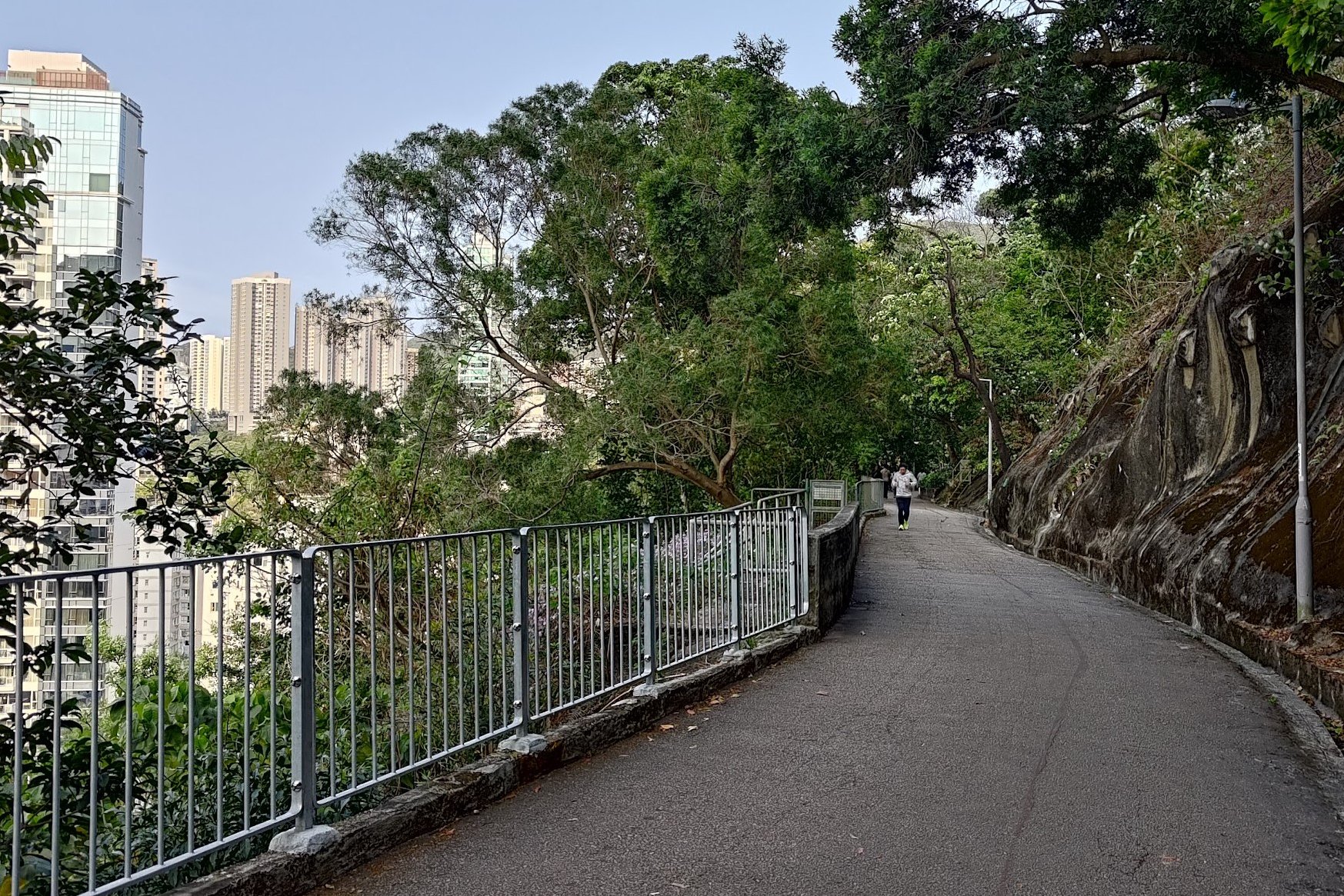
Follow the trail and you'll arrive at Stubbs Road just outside Rosaryhill School.
At the bottom of the road, cross the street and take the stairs down to Bowen Road. The next boundary stone is right there.
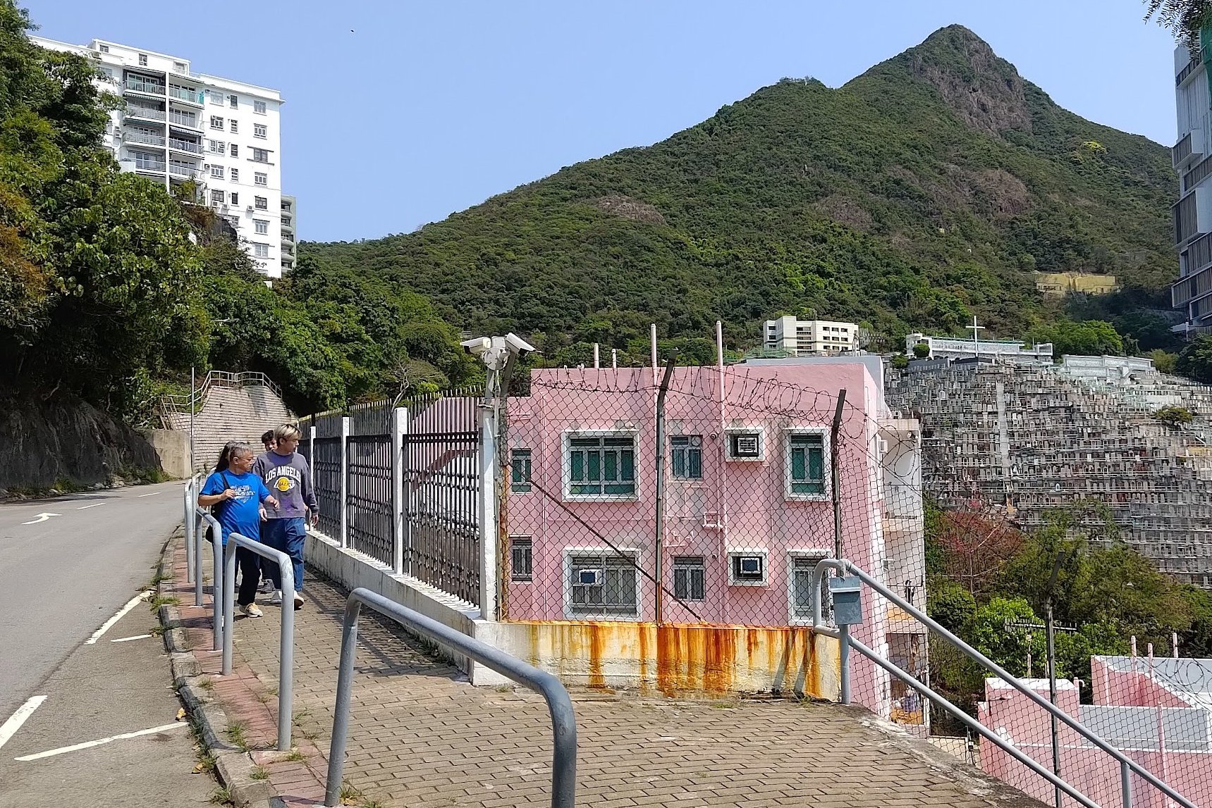
Getting to Boundary Stone 9 Beside Happy Valley Racecourse
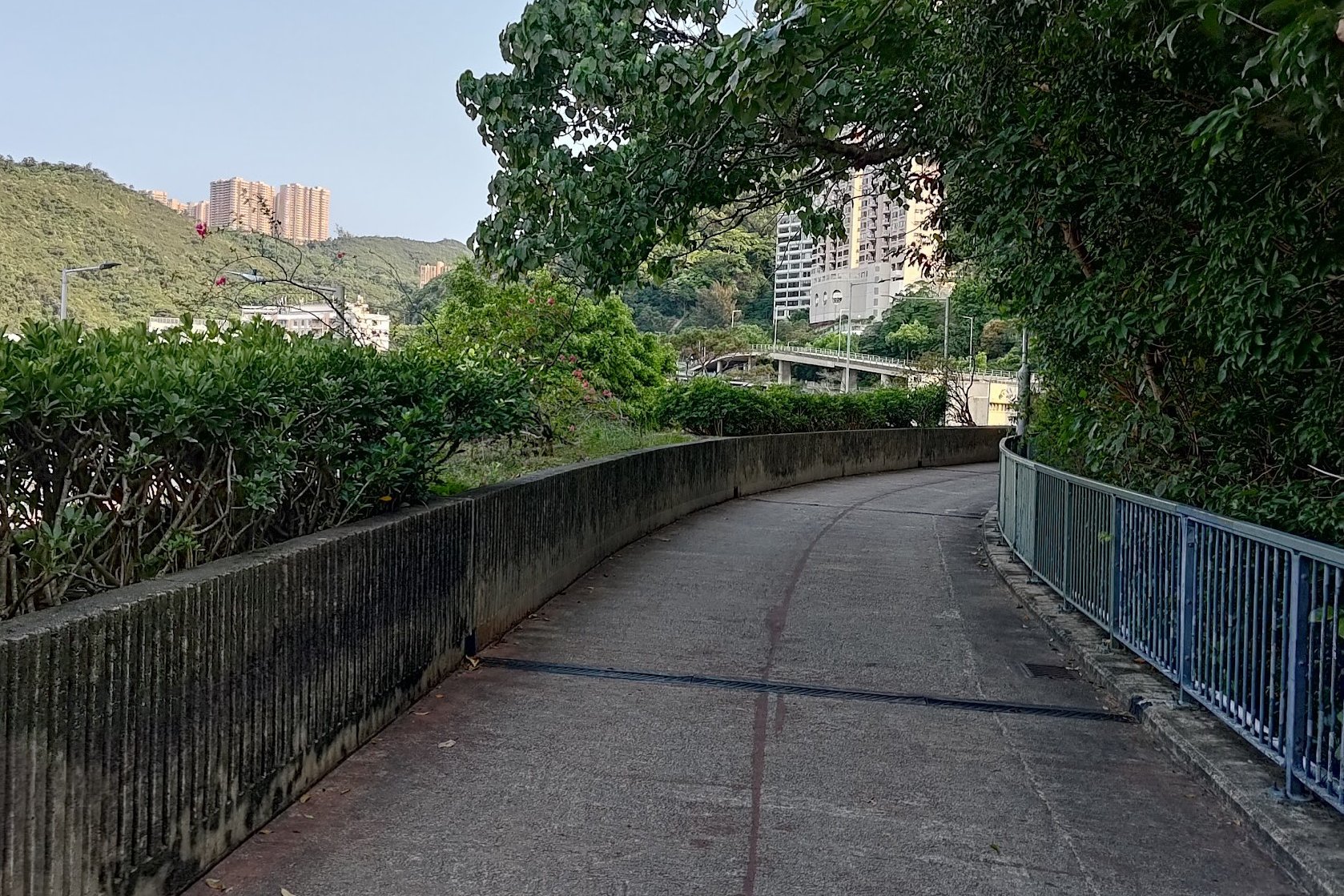
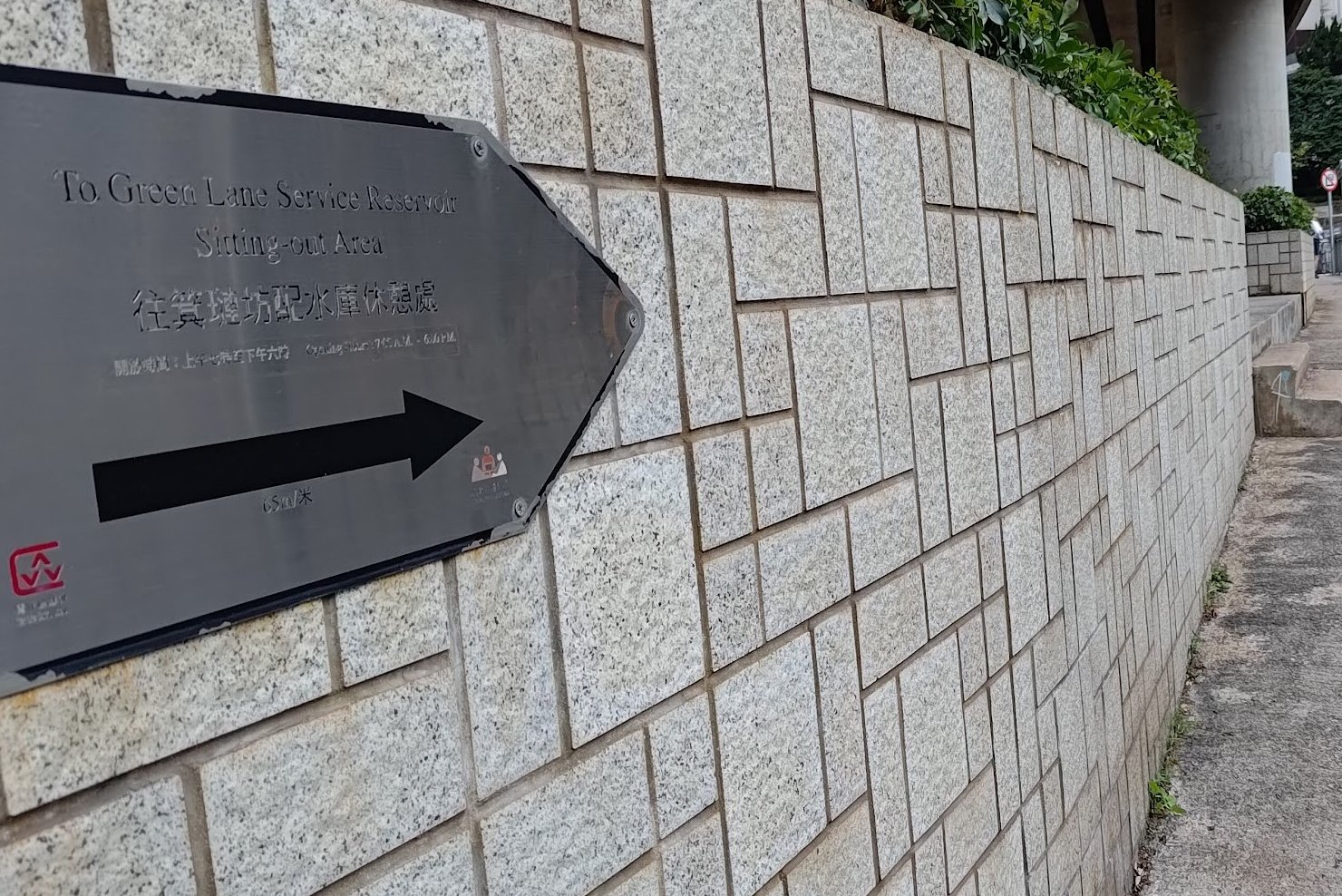

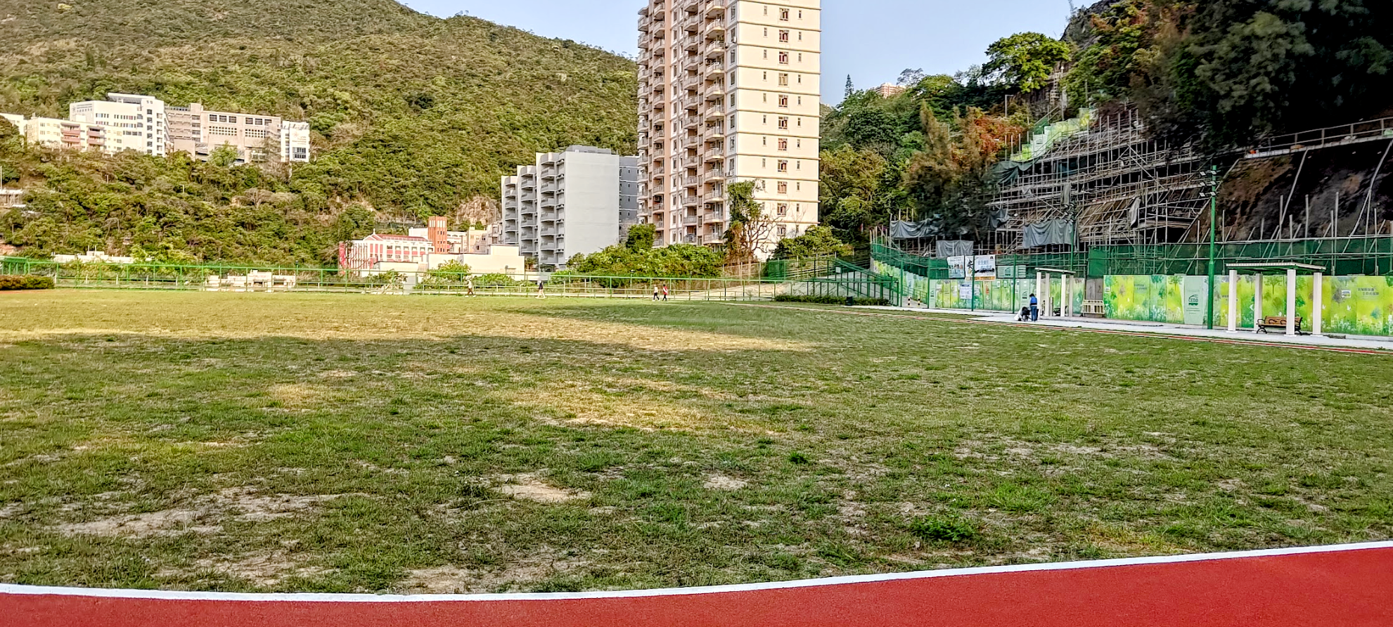
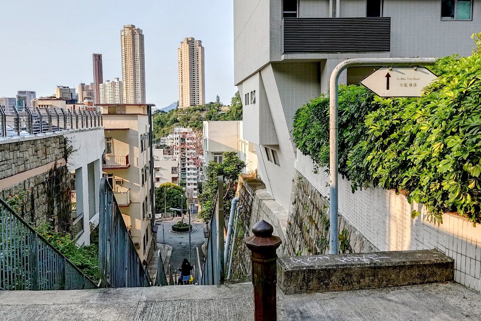
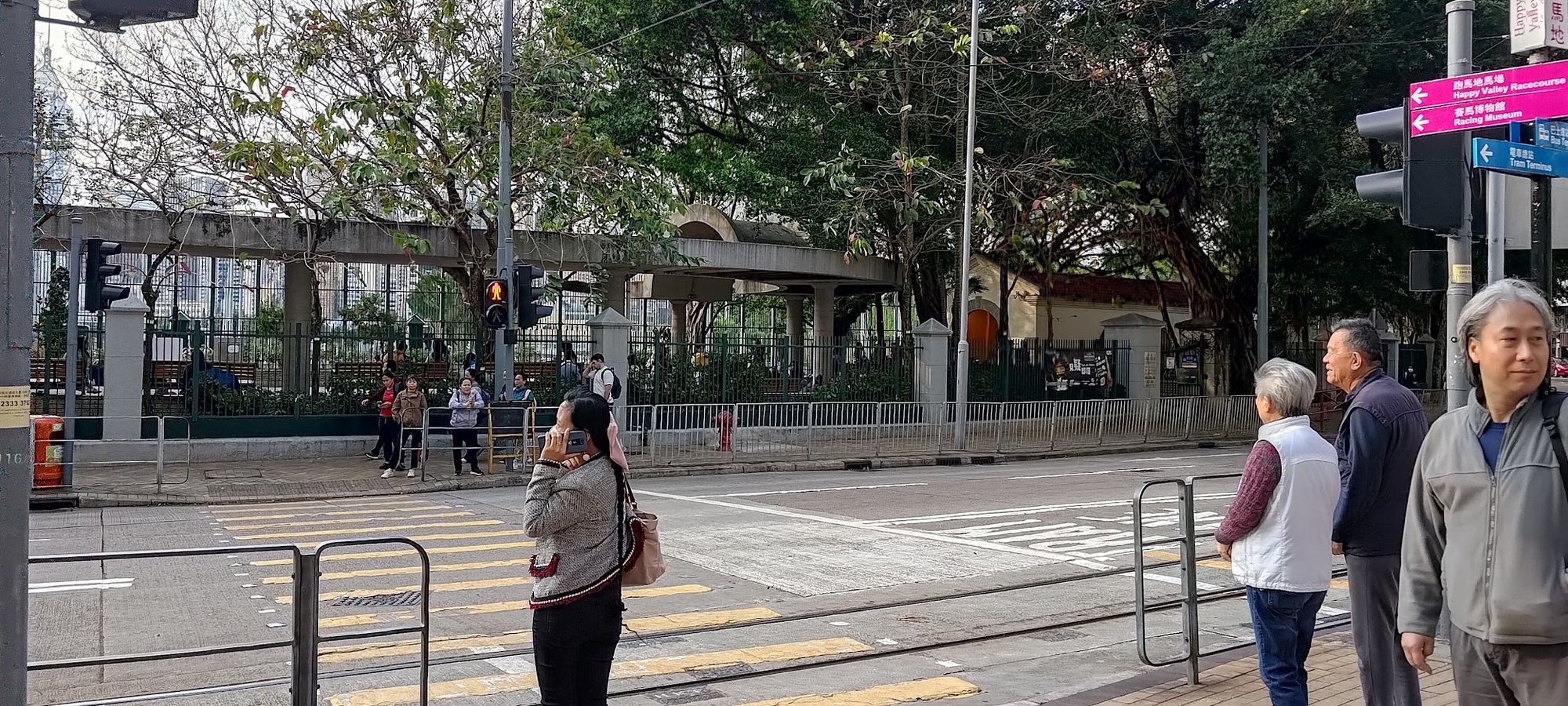
After following Bowen Road to its end, cross the street and follow the silver sign that points to the Green Lane Service Reservoir Sitting Out Area (that's a long name for a park).
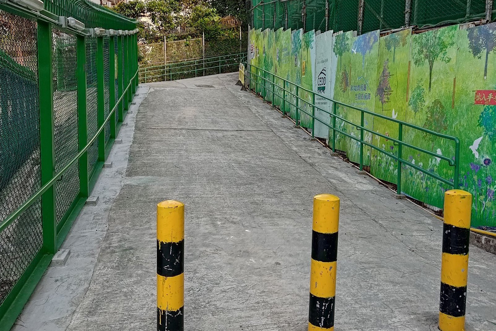
When you see a beige fence, look for the open gate in the middle of the fence and take the stairs all the way down to the park.
Cross to the other side of the park and look for the signs pointing to Blue Pool Road on your left. Follow the stairs down past the next sign with the same message on it.
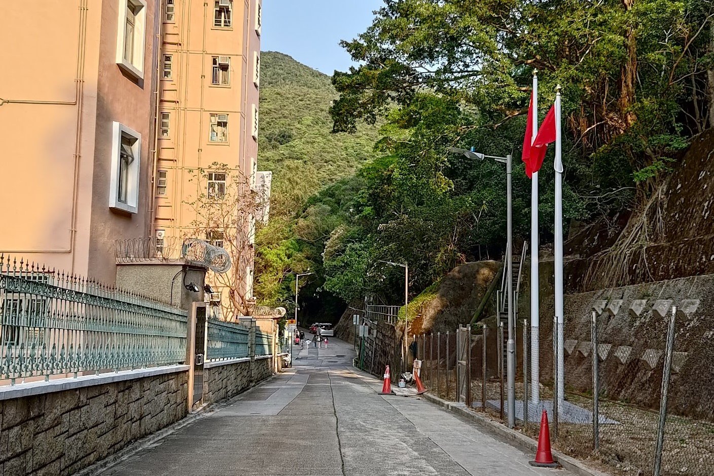
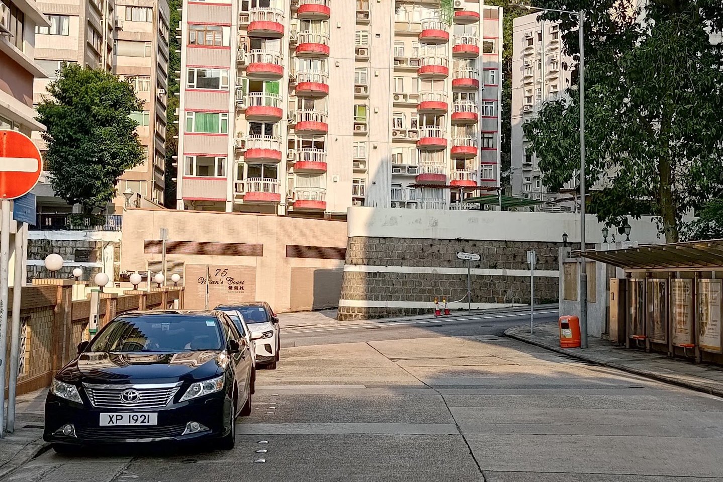
Eventually, you'll arrive at Green Lane. Follow it onto Blue Pool Road and turn left.
You'll join with Sing Woo Road, which you'll follow all the way to its end before crossing the street.
Turn right and follow the perimeter of Happy Valley Racecourse along Wong Nai Chung Road to the final boundary stone.
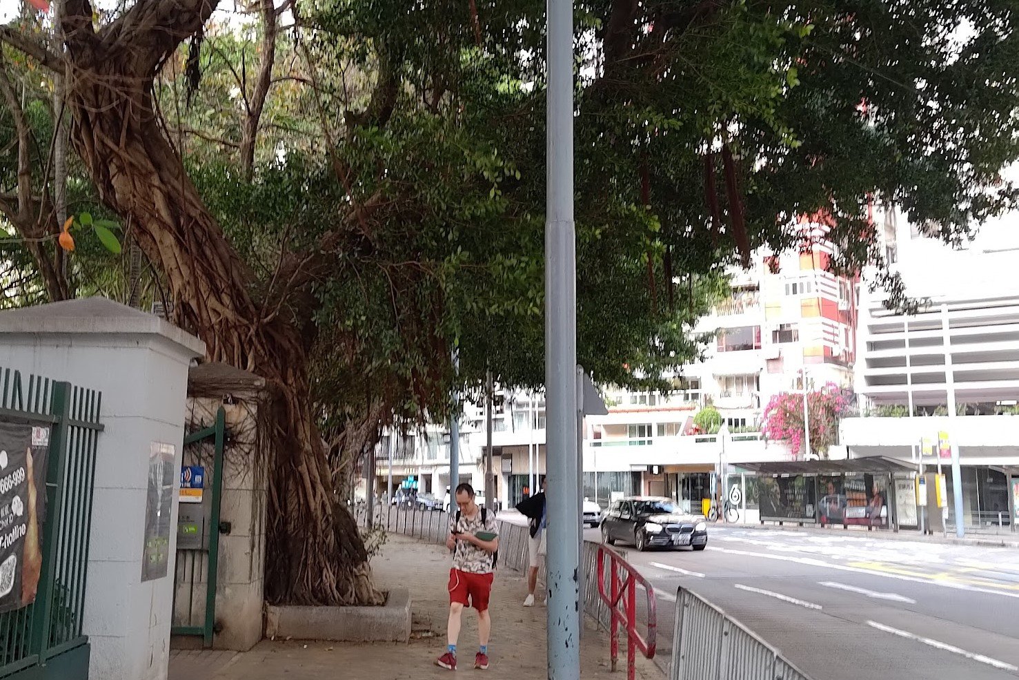
Getting to Causeway Bay MTR Station
Continue all the way to the end of Wong Nai Chung Road to where it intersects with Leighton Road.
Cross the street and turn right before turning onto Matheson Street.
Follow Matheson Street for a few minutes and you'll arrive at Causeway Bay MTR Station.

