
Checkerboard Hill: An Easy, Historic City Hike
Contents
- Essential Information
- Hike Highlights
- Google Route Map and GPX
- How to Get There
- Quick Route Summary
- From Lok Fu Station to the Hike Start Point
- Climbing to Fu On Street
- Shortest Route to the Checkerboard Pattern
- The Longer Route to the Checkerboard Pattern
- The Trigonometrical Point and the Checkerboard Pattern
- Views of Checkerboard Hill
- Back to Fu On Street
- Getting Back
Essential Checkerboard Hill Hike Details
- District: Kowloon
- Duration: 1 hour to and from Lok Fu MTR Station
- Distance: 2.8km
- Highest Elevation: 98 meters
- Difficulty: 1.5/5
- Facilities: None. Bring water and snacks as you need
Why Hike Checkerboard Hill?

Having grown up in Hong Kong in the 1990s, I still remember the roaring sound of jet engines passing overhead as my little school bus used to take me to primary school at 7:30am every weekday.
I'd rush to the window to try and catch a glimpse of the monster sized jets banking impossibly close to the buildings of Kowloon before making a final descent into Kai Tak International Airport.
It was only recently that I discovered one of the key markers used by pilots was the iconic red and white checks of Checkerboard Hill. It was used to indicate when pilots should begin banking for a safe landing into what was one of the most unique, if not dangerous, airports in the world to touch down in.
With that history in mind, hiking lovers who don't fancy a huge, tiring blast up one of Hong Kong's taller mountains can give this trail a shot. Checkerboard Hill is less than 100 meters tall, meaning you'll be able to reach the summit in 20 or so minutes.
What's more, you'll get to witness the red and white checkerboard pattern for yourself, while still enjoying some stellar views across Kowloon!
Google Route Map and GPX
Checkerboard Hill Hike GPX File
*Click the box icon in the top right of the map below to load the blue route directly into your own Google Maps. You can then see your location relative to the trail in real time!
How to Get to Checkerboard Hill
Take the MTR to Lok Fu Station. The hiking guide begins directly from the station.
Quick Route Summary
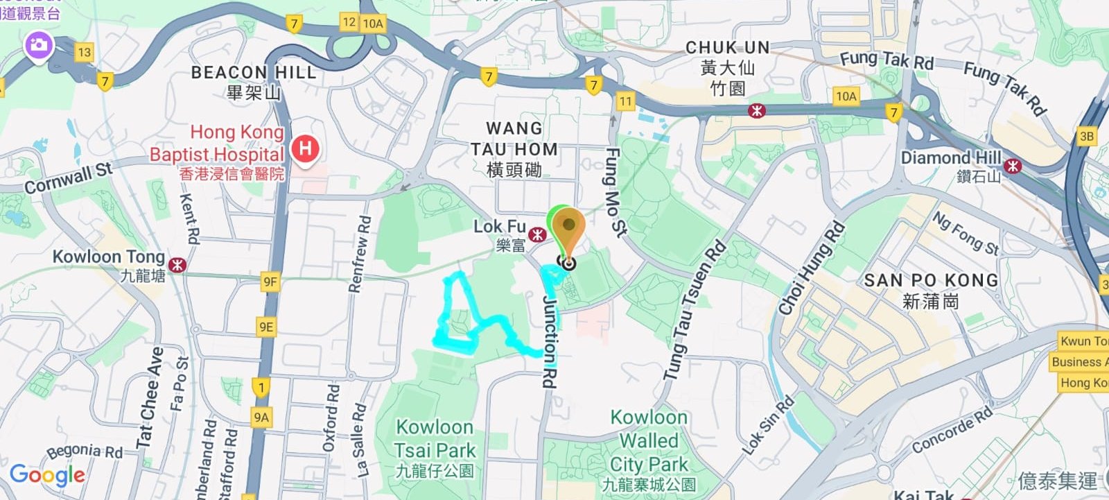
- Take the MTR to Lok Fu Station and leave through Exit B
- Once outside Exit B, head through the park on the right and take the stairs up to Junction Road
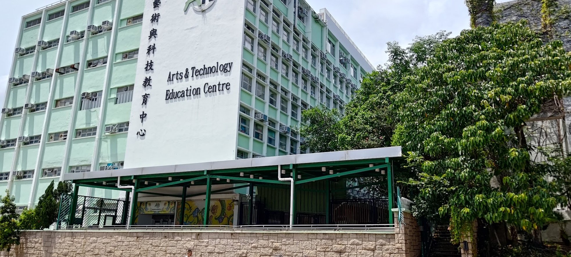
- Turn left on Junction Road and look for the green and white Arts and Technology Education Centre
- Take the stairs beside the Arts and Technology Education Centre and keep climbing upward until you arrive at Fu On Street
- If you want to head directly to the checkerboard patterns, go left and take the stairs downward from Fu On Street
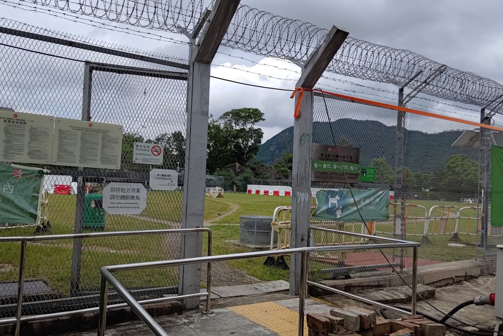
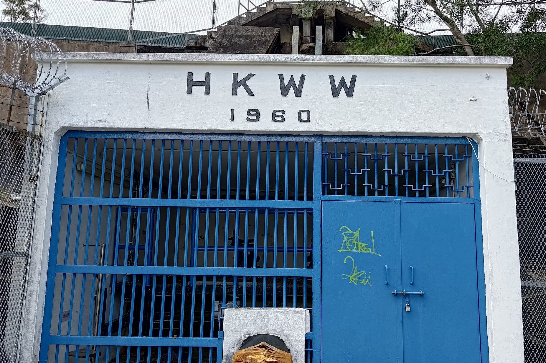
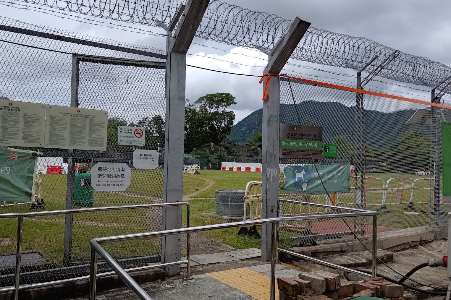
- For the full hike, turn right and go past the Water Works building
- You'll see a small set of 3 fat stairs that you climb up before heading downward
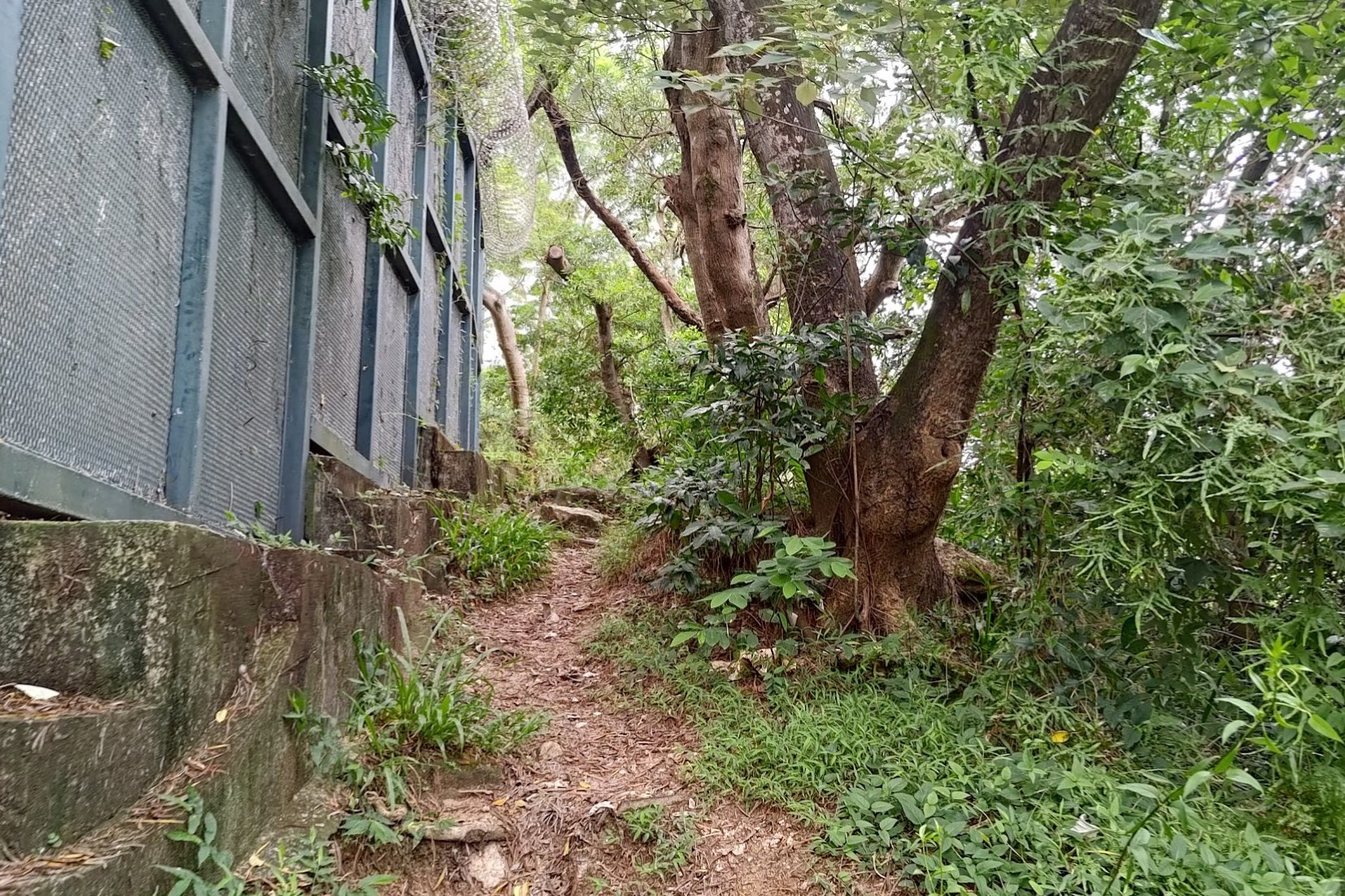
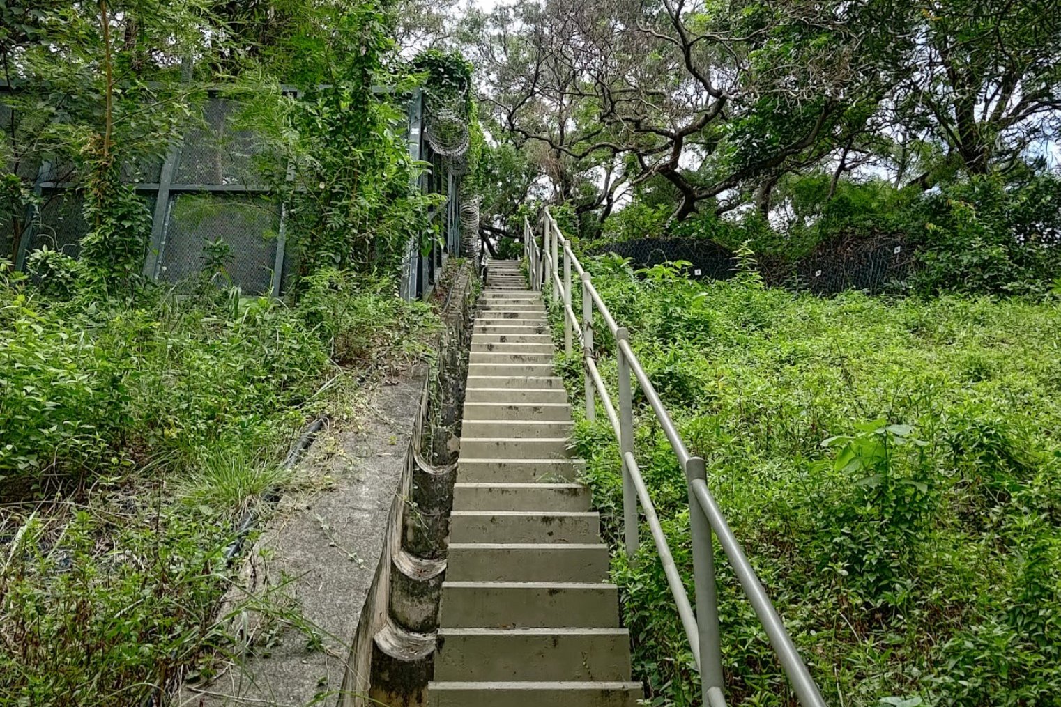
- Follow the fence until its end and take the makeshift stairs upward
- Follow the dirt trail and you'll arrive at the black and white trigonometrical point, which indicates you've reached the highest point of Checkerboard Hill
- Follow the dirt trail behind the trigonometrical point and you'll arrive at the checkerboard patterns of Checkerboard Hill
- Head down (below the lowest checkered wall) and take the path left
- Climb the stairs to arrive at Fu On Street, where you can just retrace your steps back to Lok Fu Station
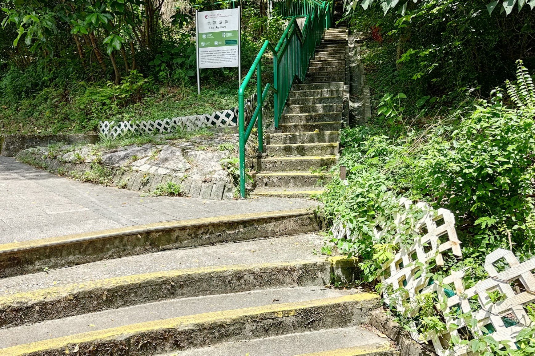
From Lok Fu Station to the Hike Start Point
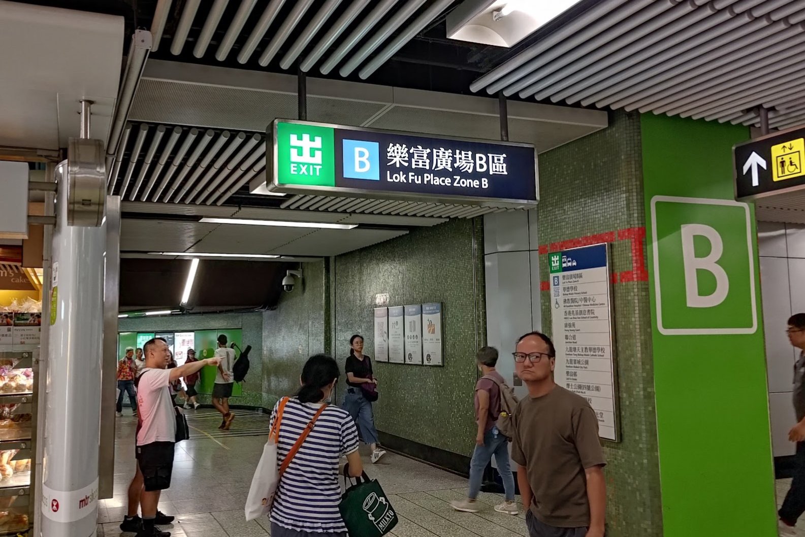
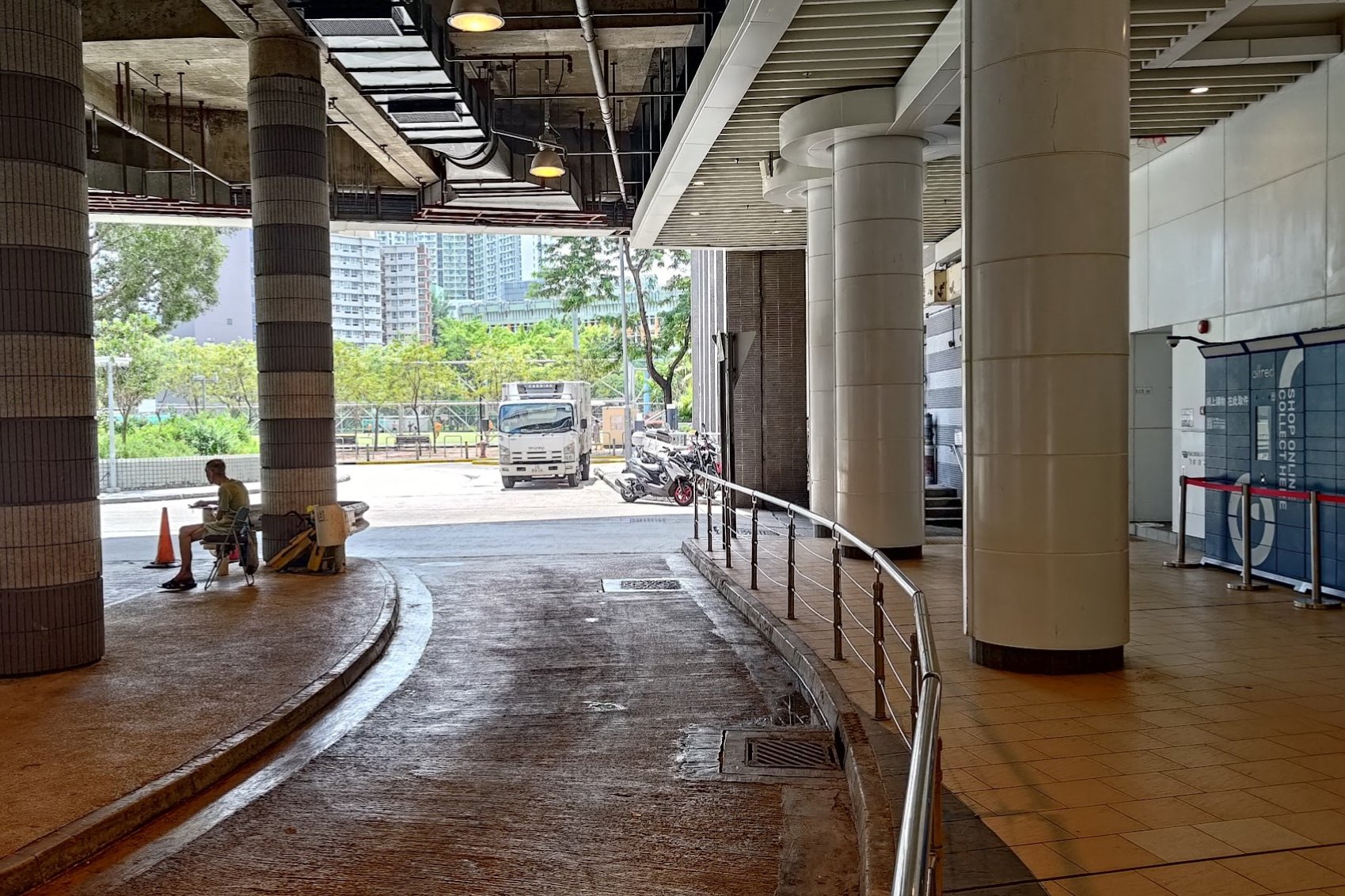
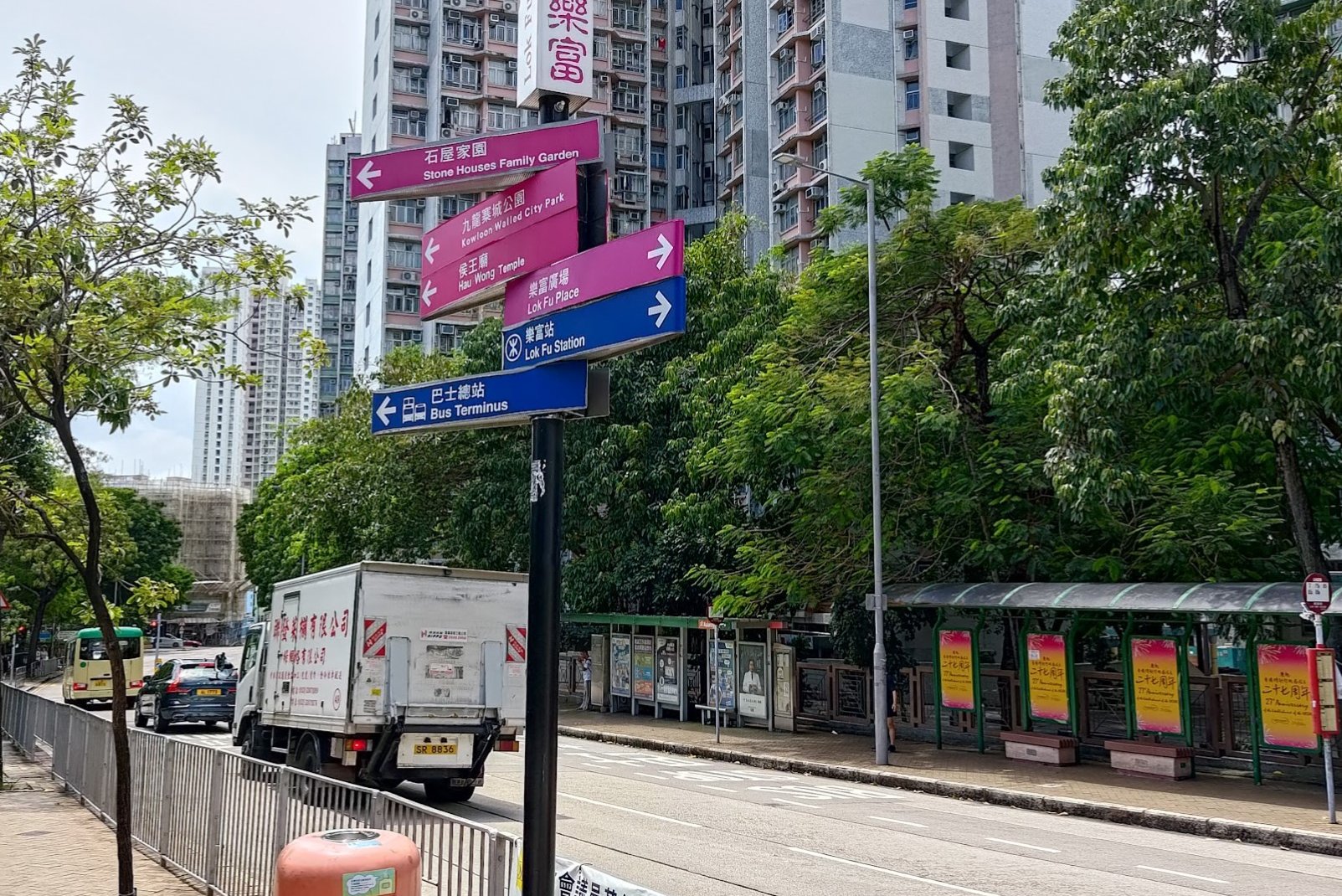
After heading out of Exit B at Lok Fu MTR Station, head into the park on the right and climb some stairs to get to Junction Road.
Head left and cross the street when you can. You'll want to keep a lookout for the big, green Arts and Technology Education Centre building. Just beside it is a narrow set of stairs that marks the start of the hike.
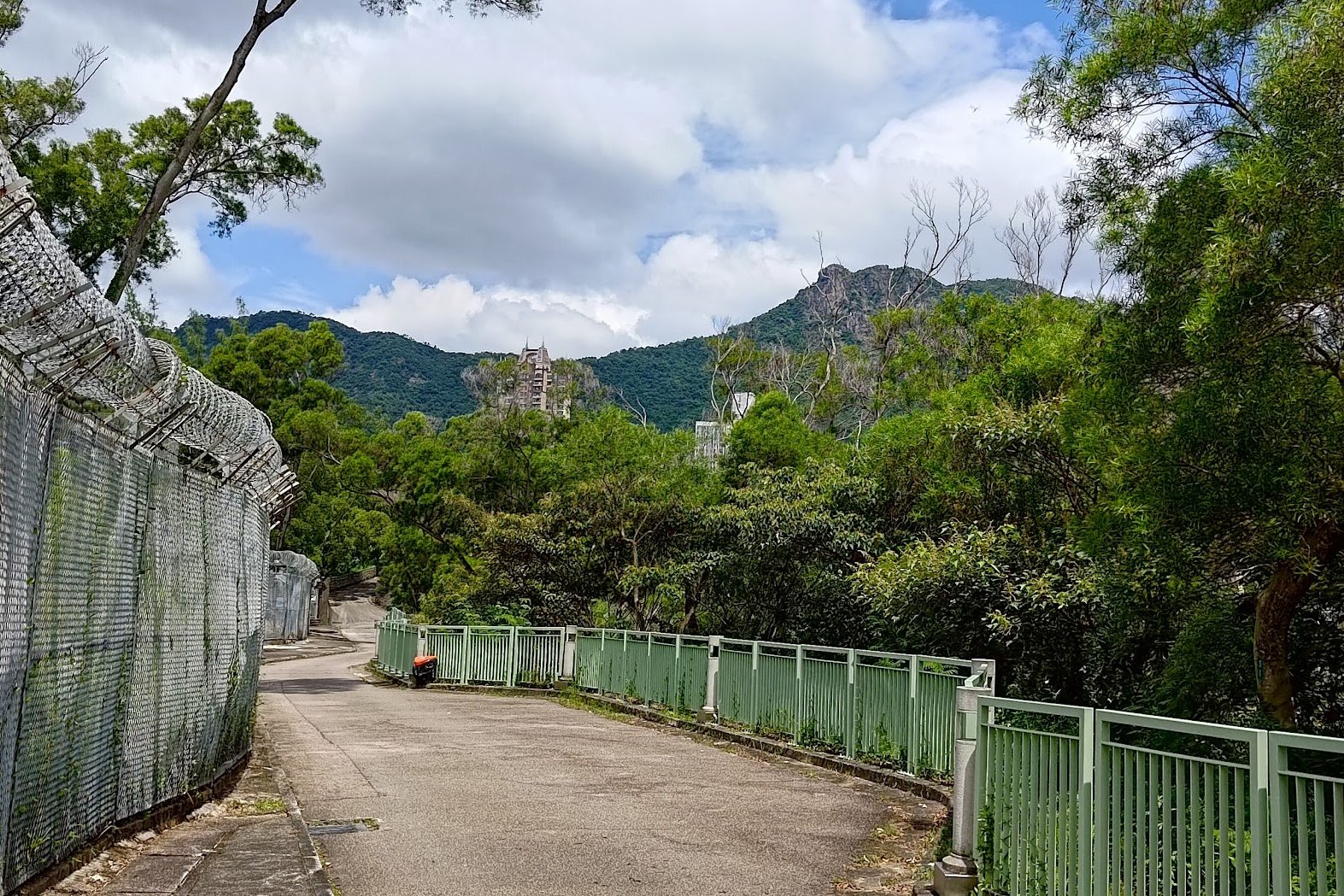
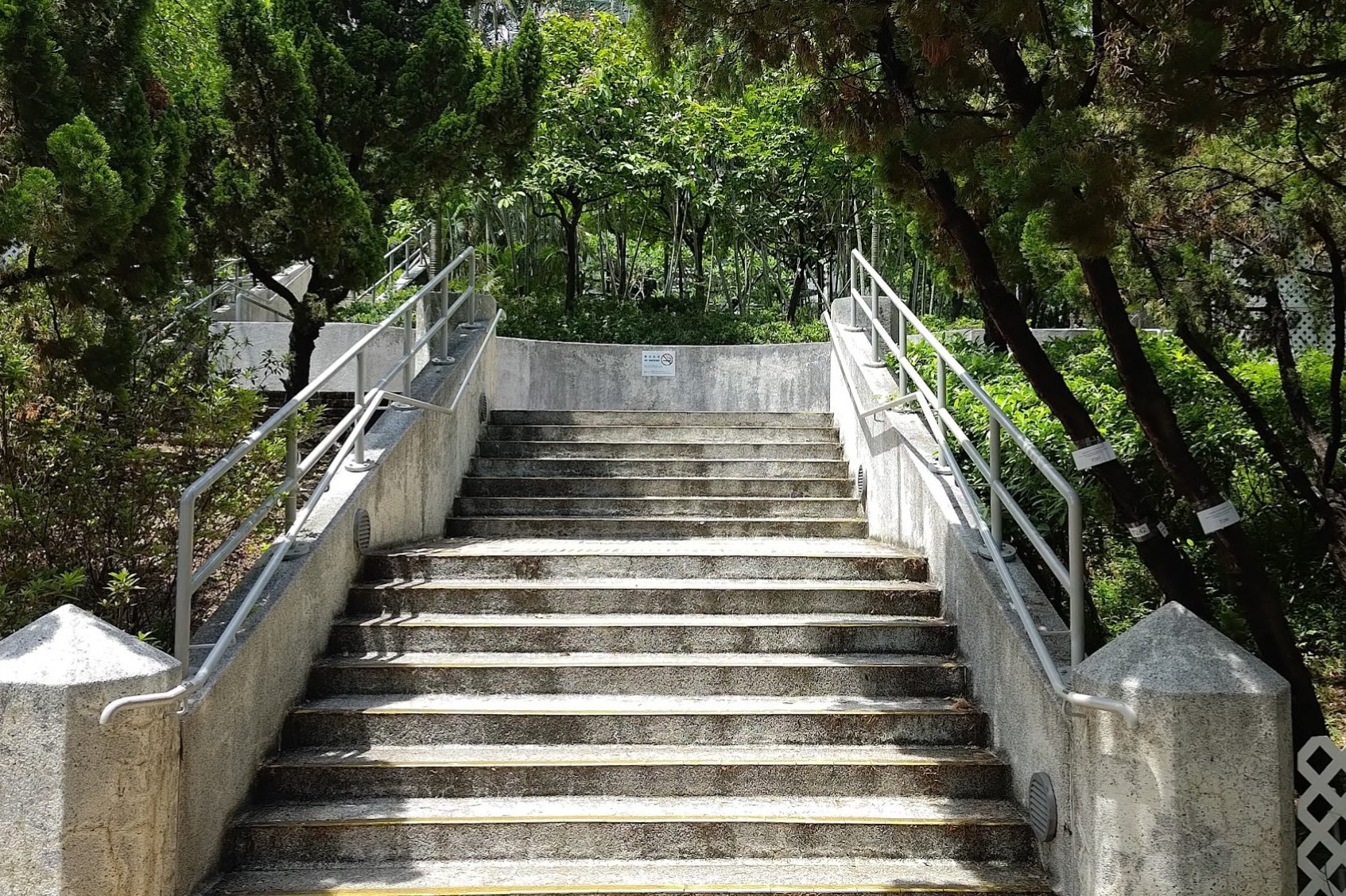
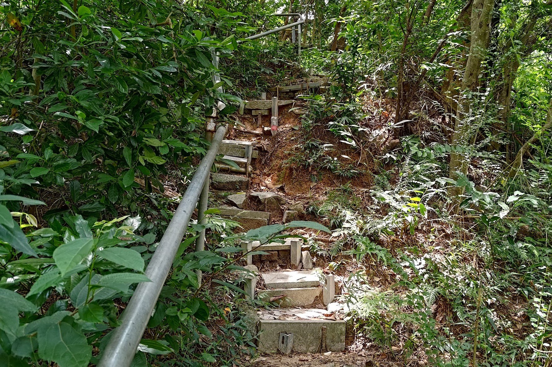
Climbing to Fu On Street
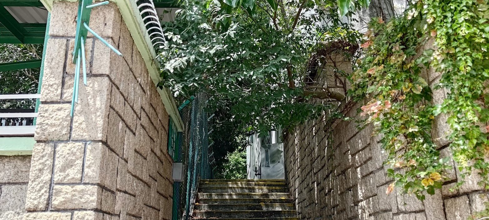
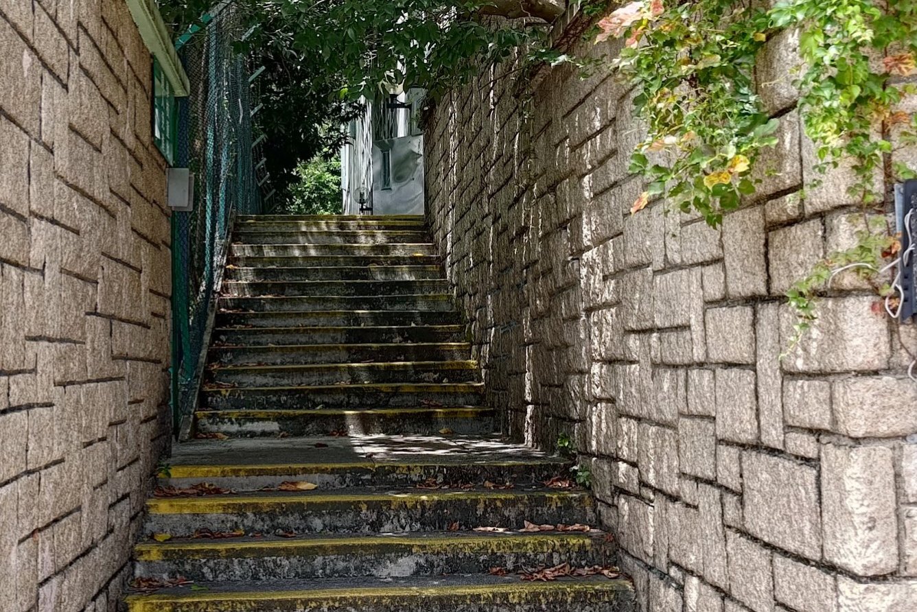
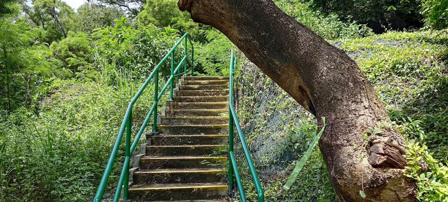
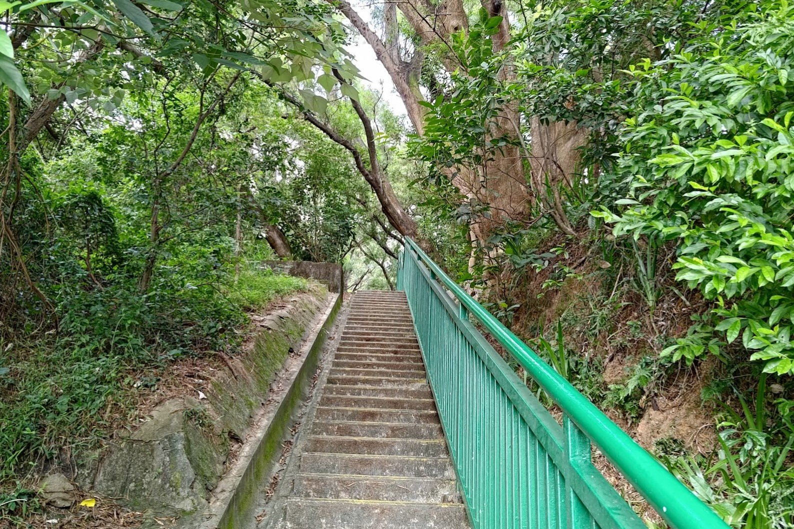
The climb from the bottom of the stairs to Fu On Street took just under 10 minutes. Give yourself extra time if needed, but rest assured this isn't a particularly long ascent. As long as you follow the stairs with yellow markings on them, you'll make it to the top and won't get lost.
When you get to Fu On Street, you will have two options of how to proceed.
Shortest Route to the Checkerboard Pattern
This route is the quickest way to get to to the checkerboard patterns on Checkerboard Hill. It'll save you a bunch of time, but you'll miss some of the other interesting views along the hike.
That being said, if you're on a time crunch, or don't really care about the other stuff, just take this route and you can shave off a good 15 minutes from your journey.
The Longer Route to the Checkerboard Pattern
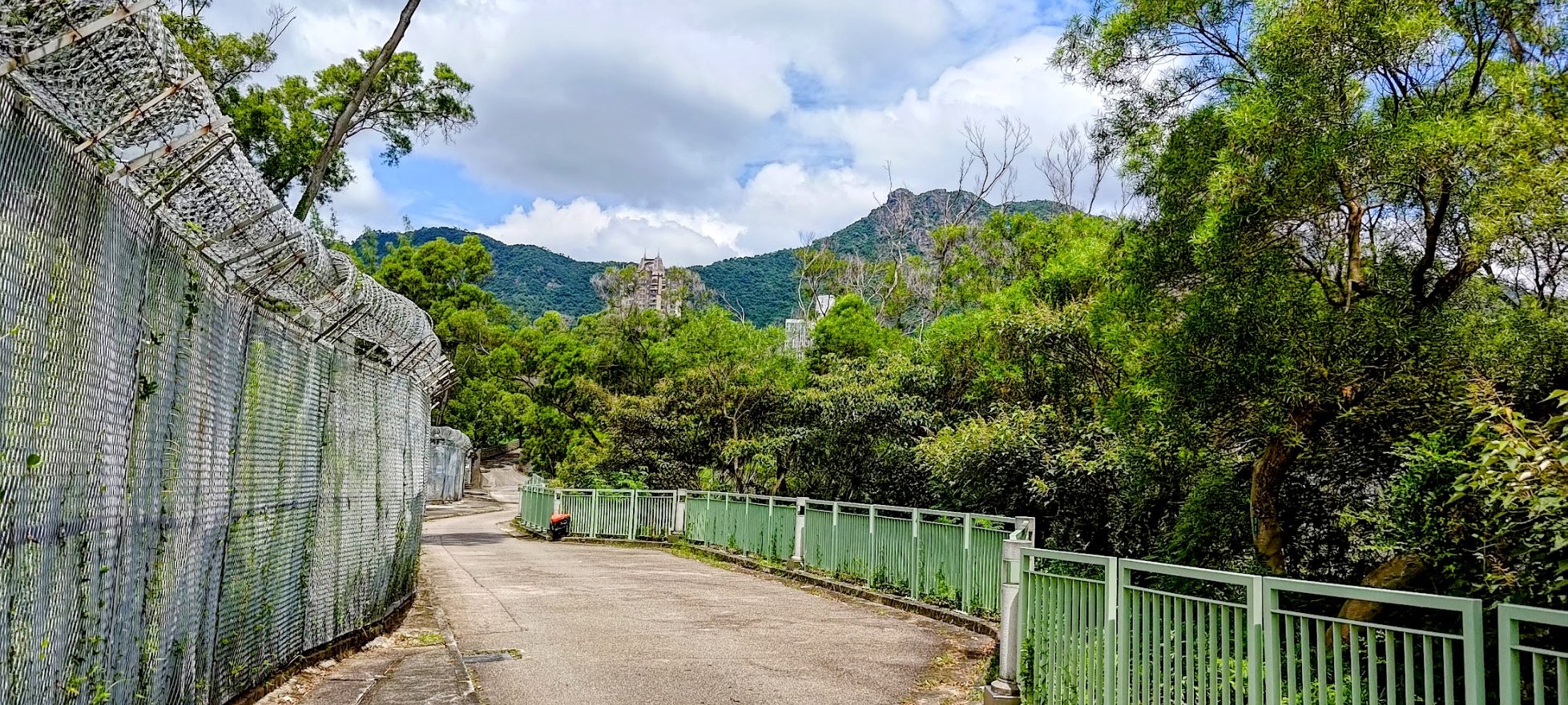
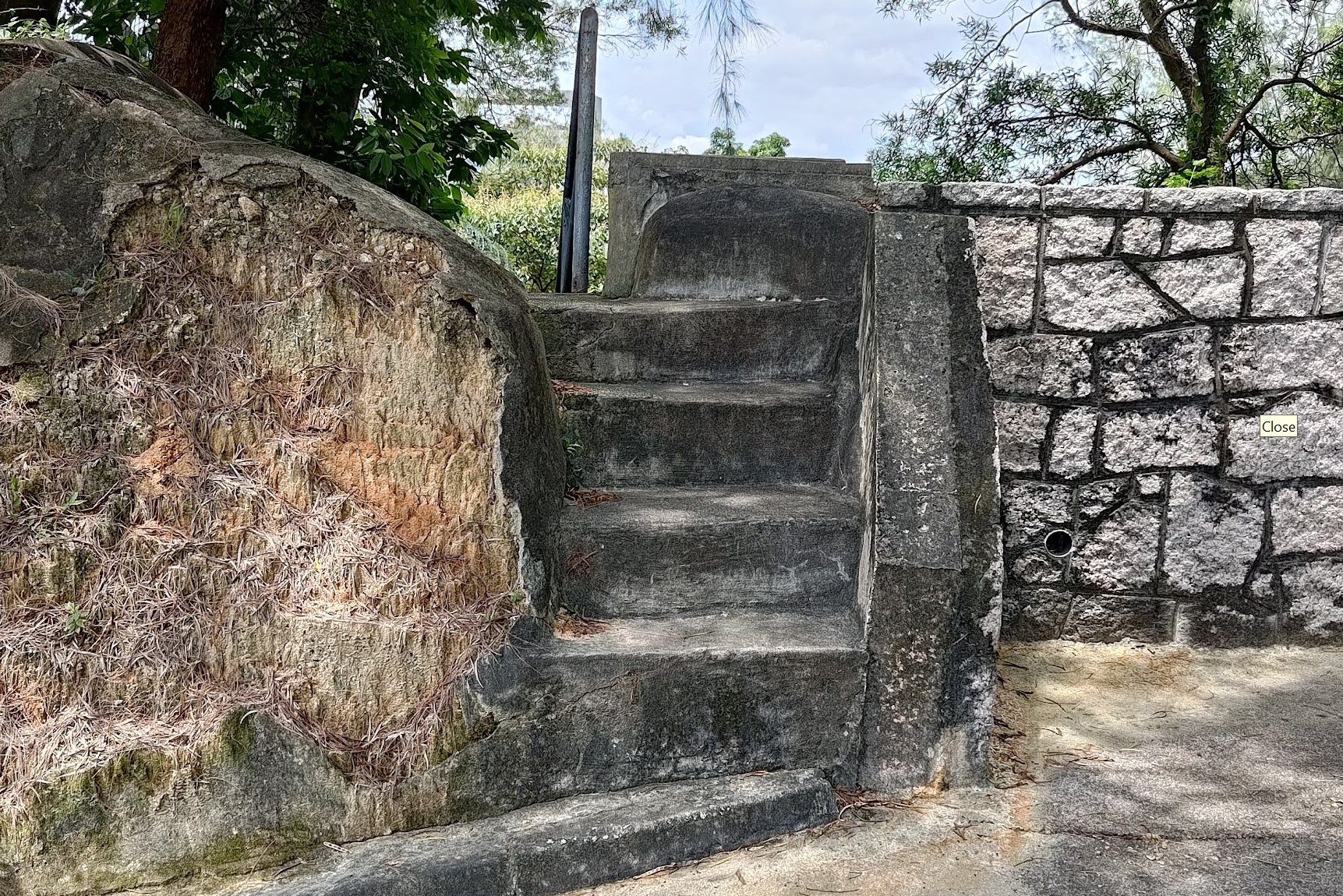


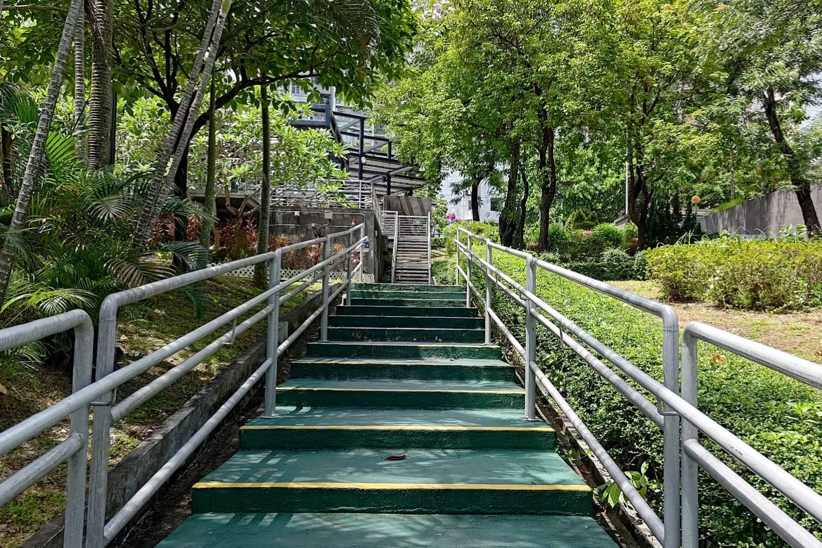
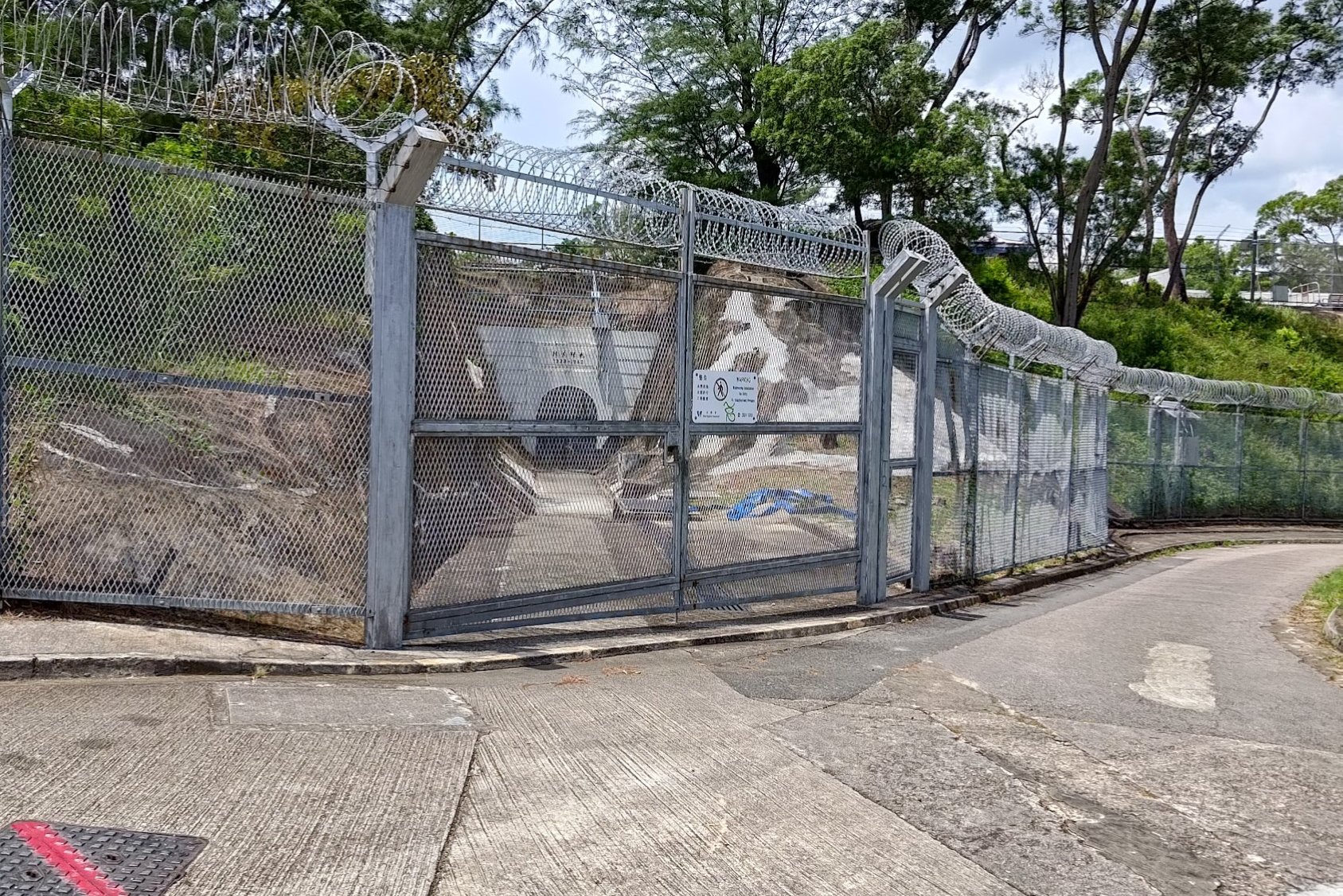
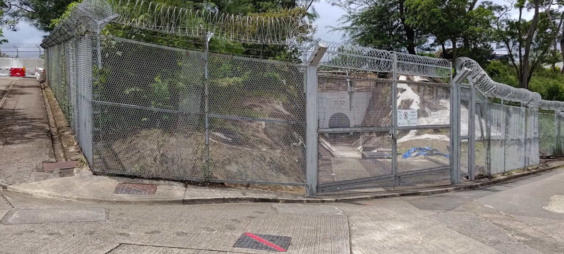
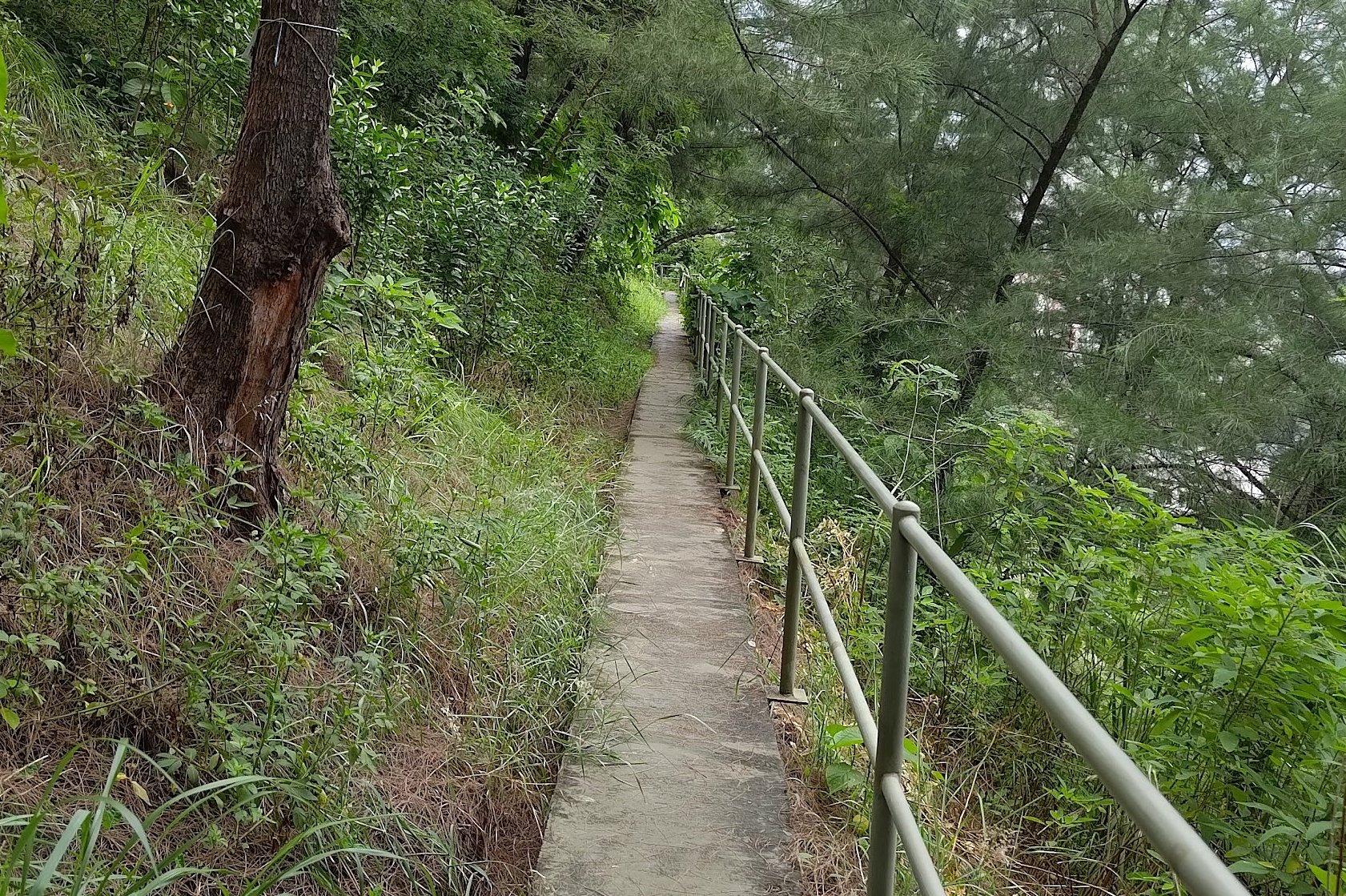
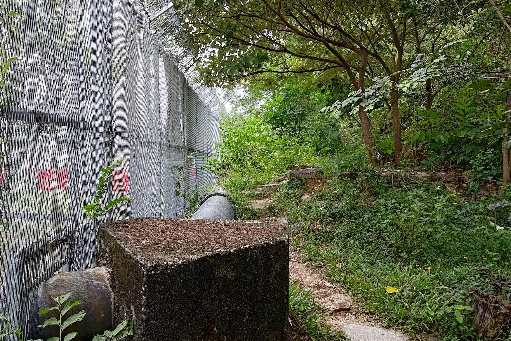
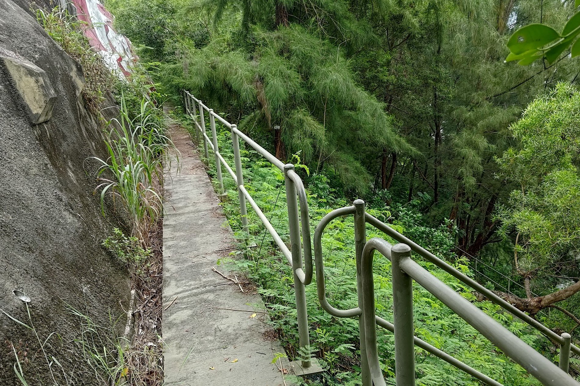
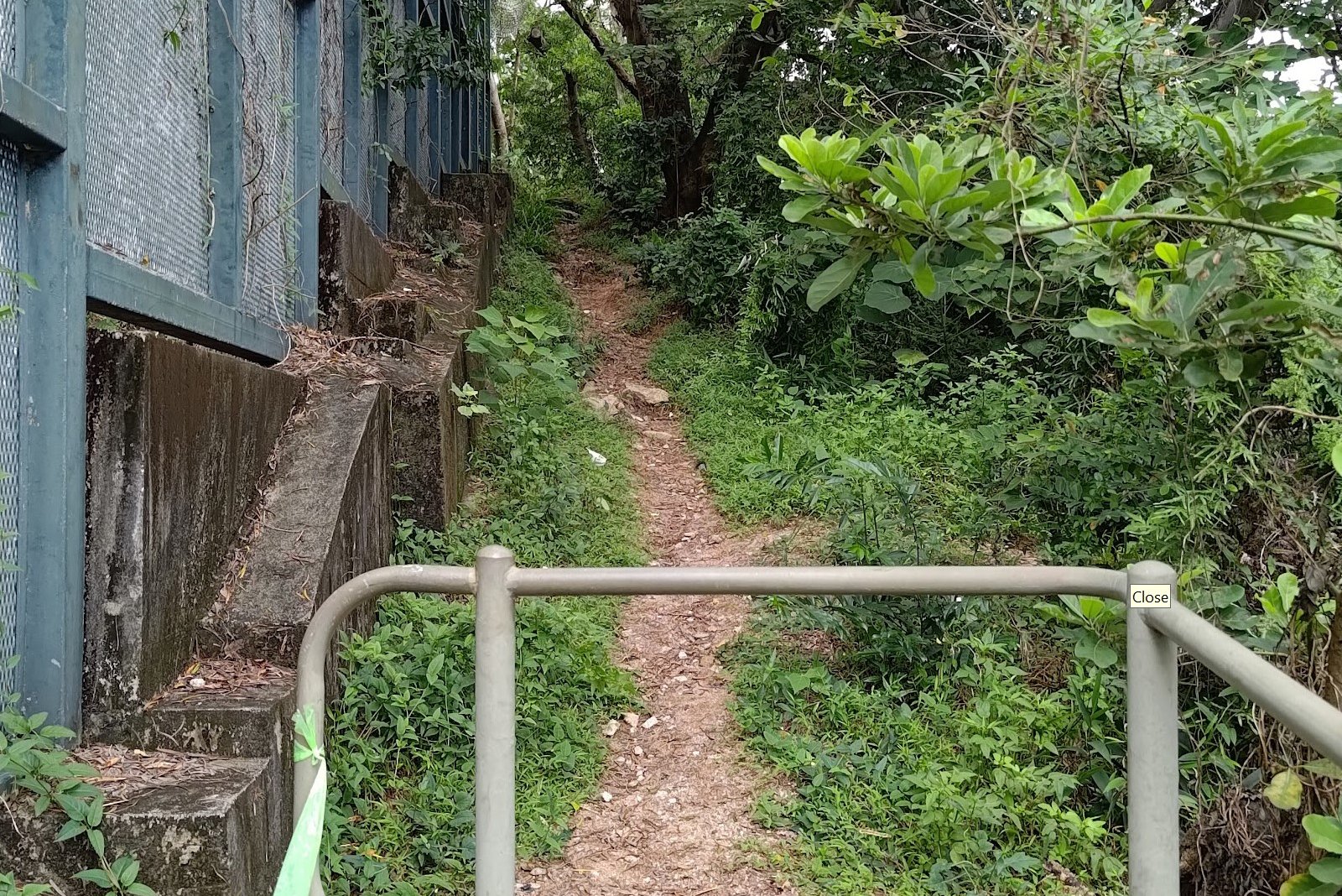
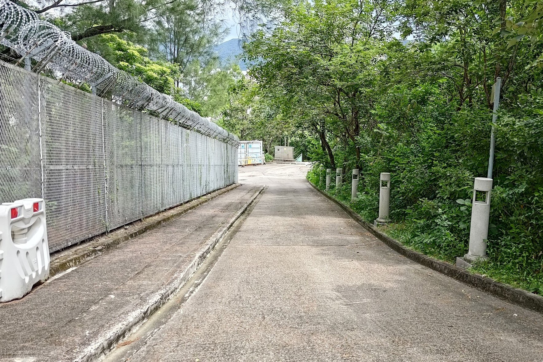
This route is much longer and a little trickier to navigate, so I will split it into a few sections. The first section has you following Fu On Street until you come to some stone walls. When you see these, you'll want to look for three large steps on your left.
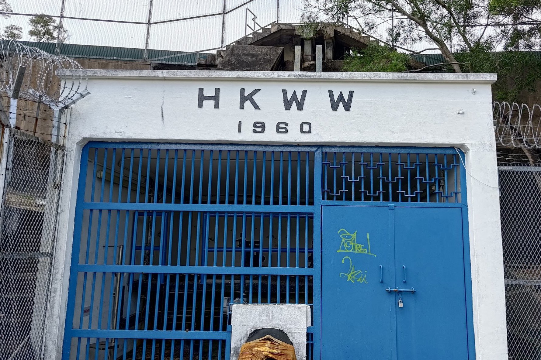
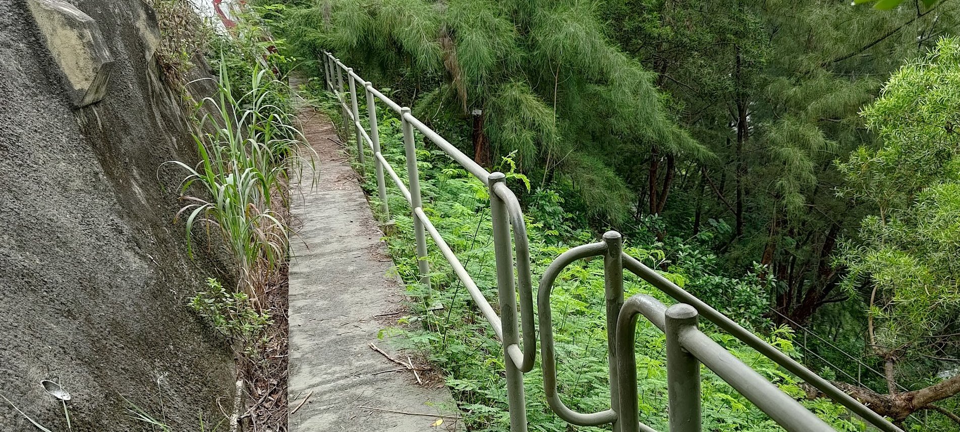
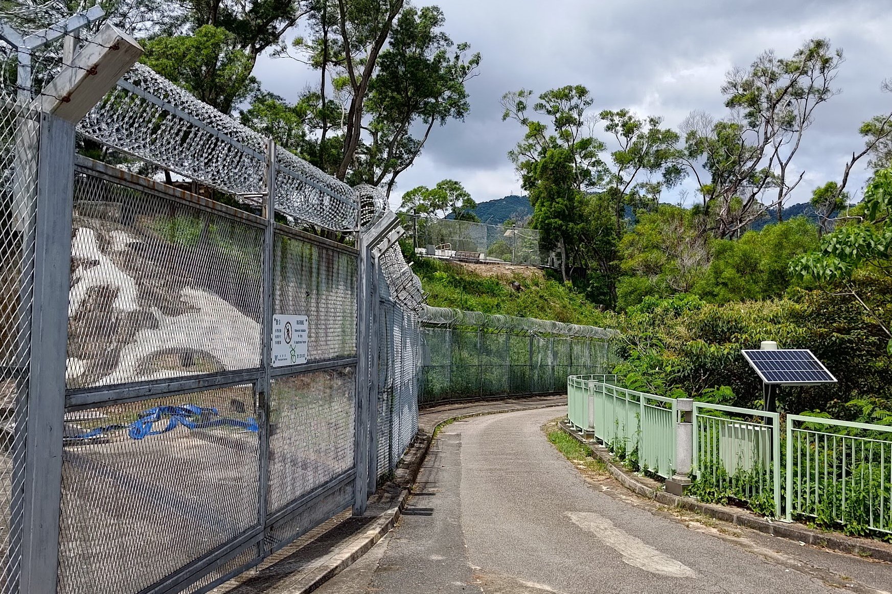
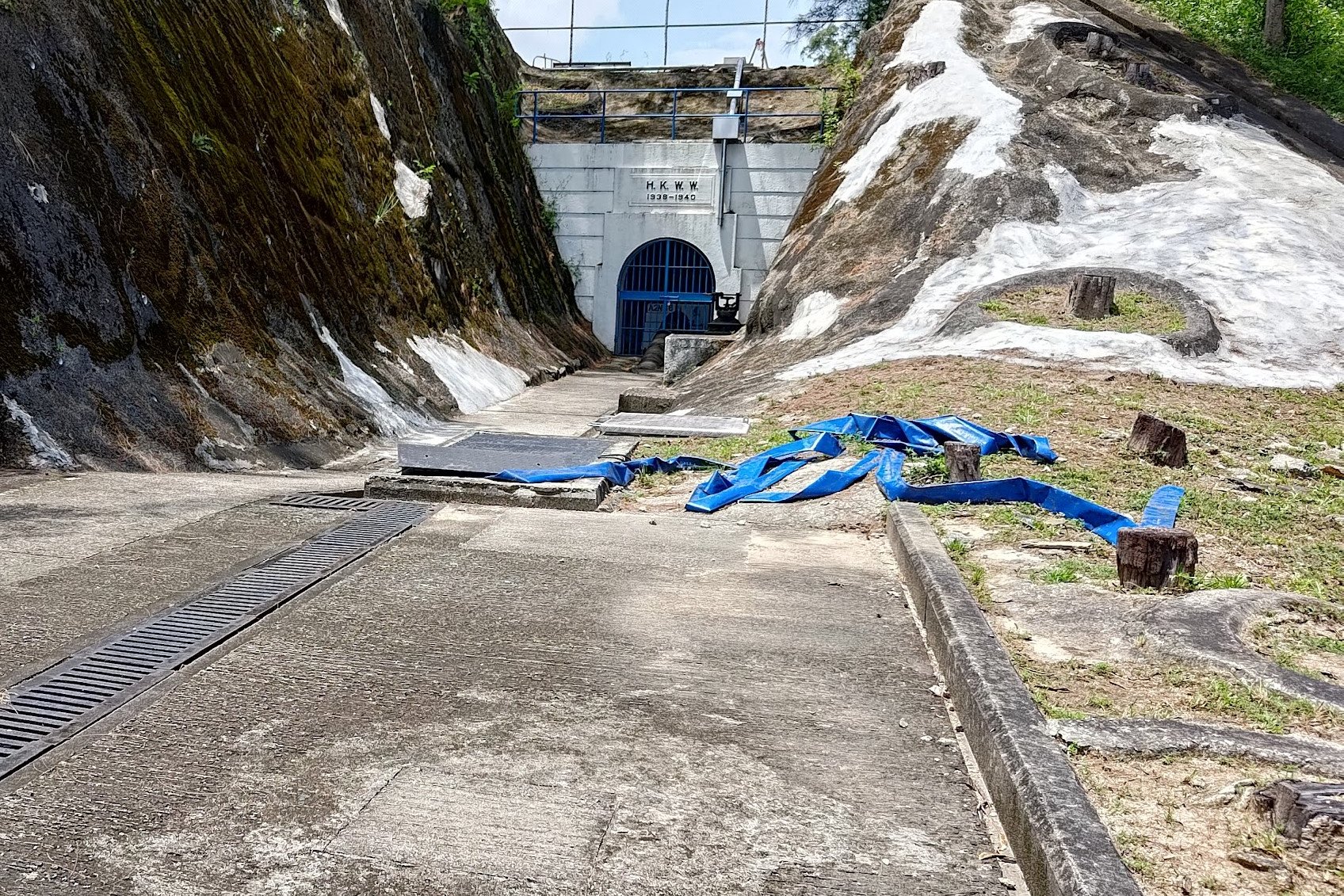
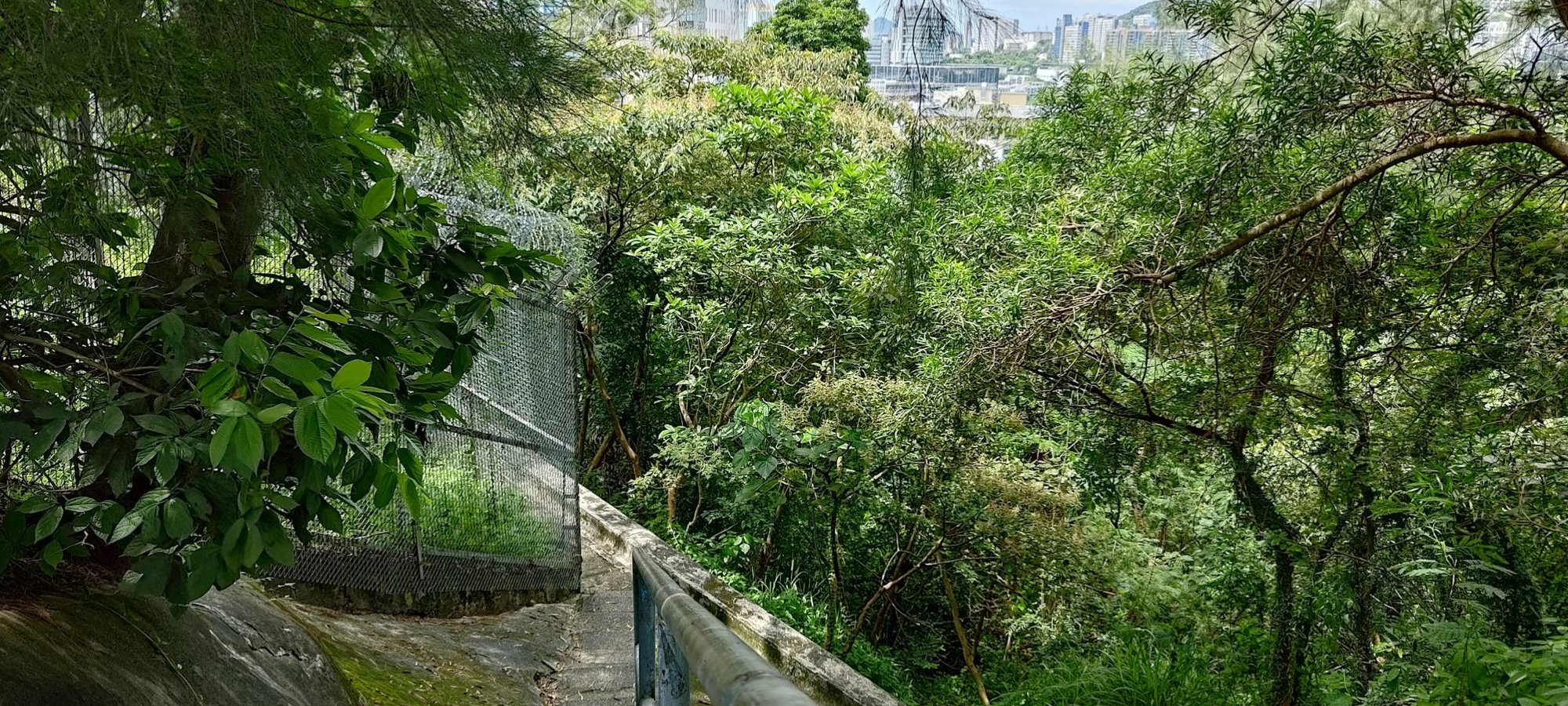
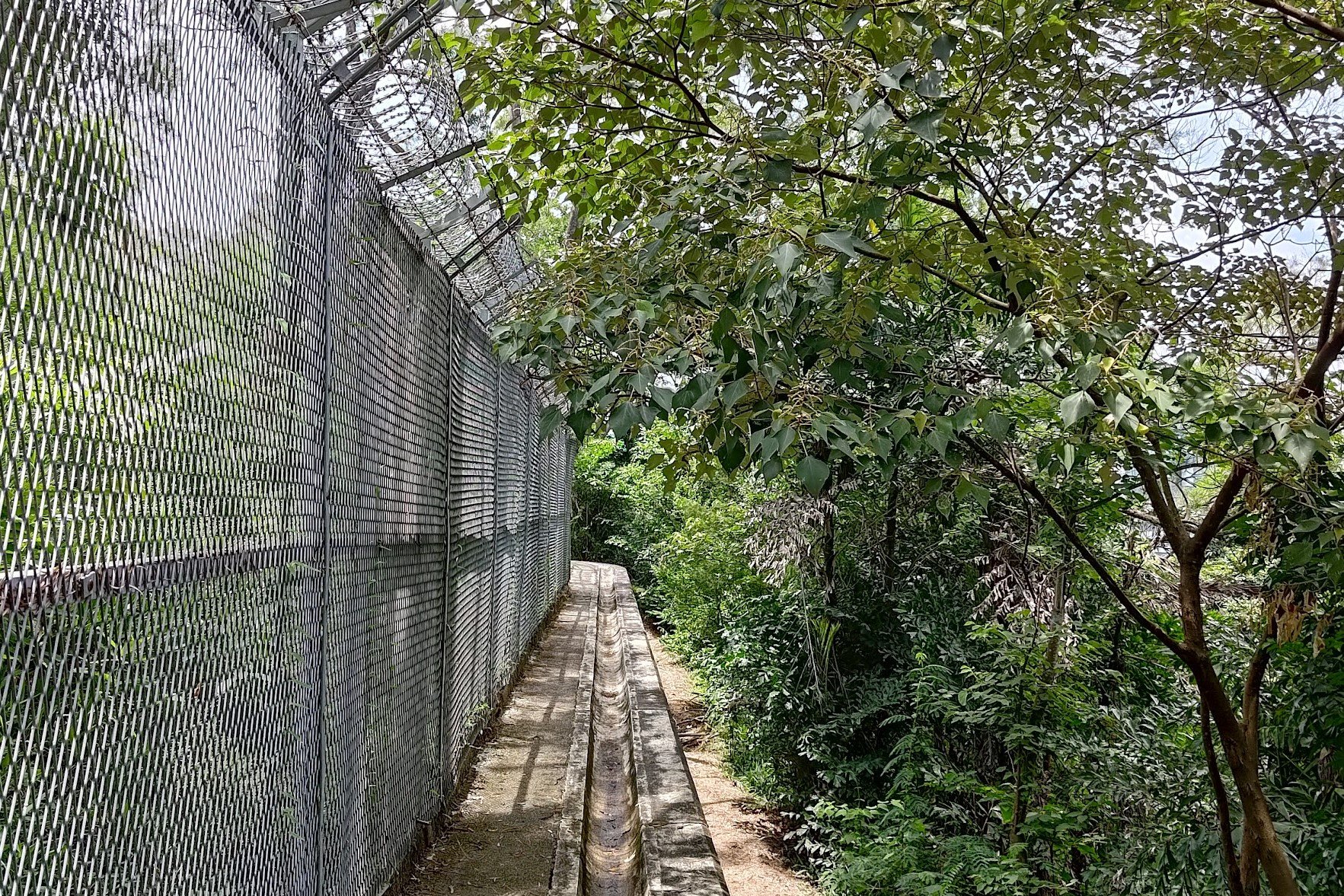
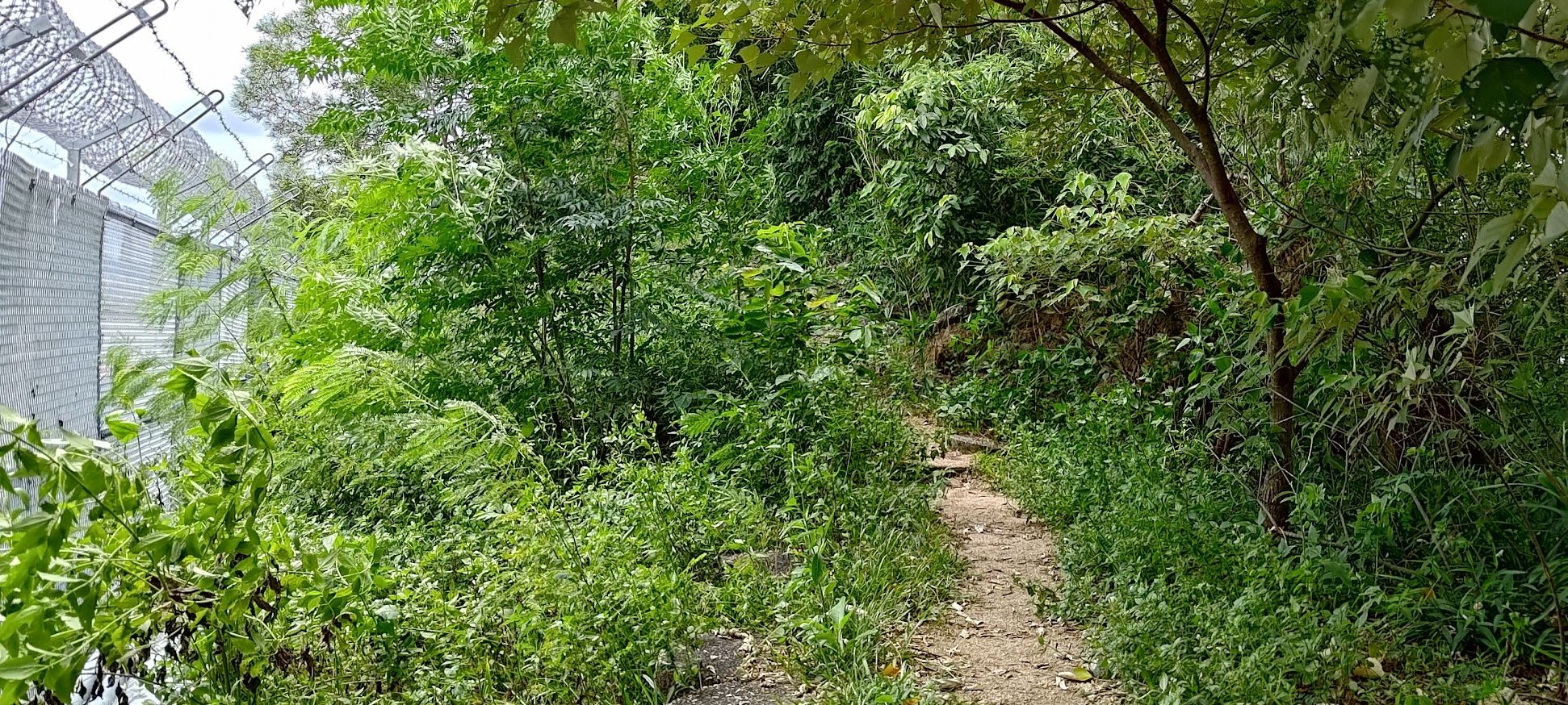
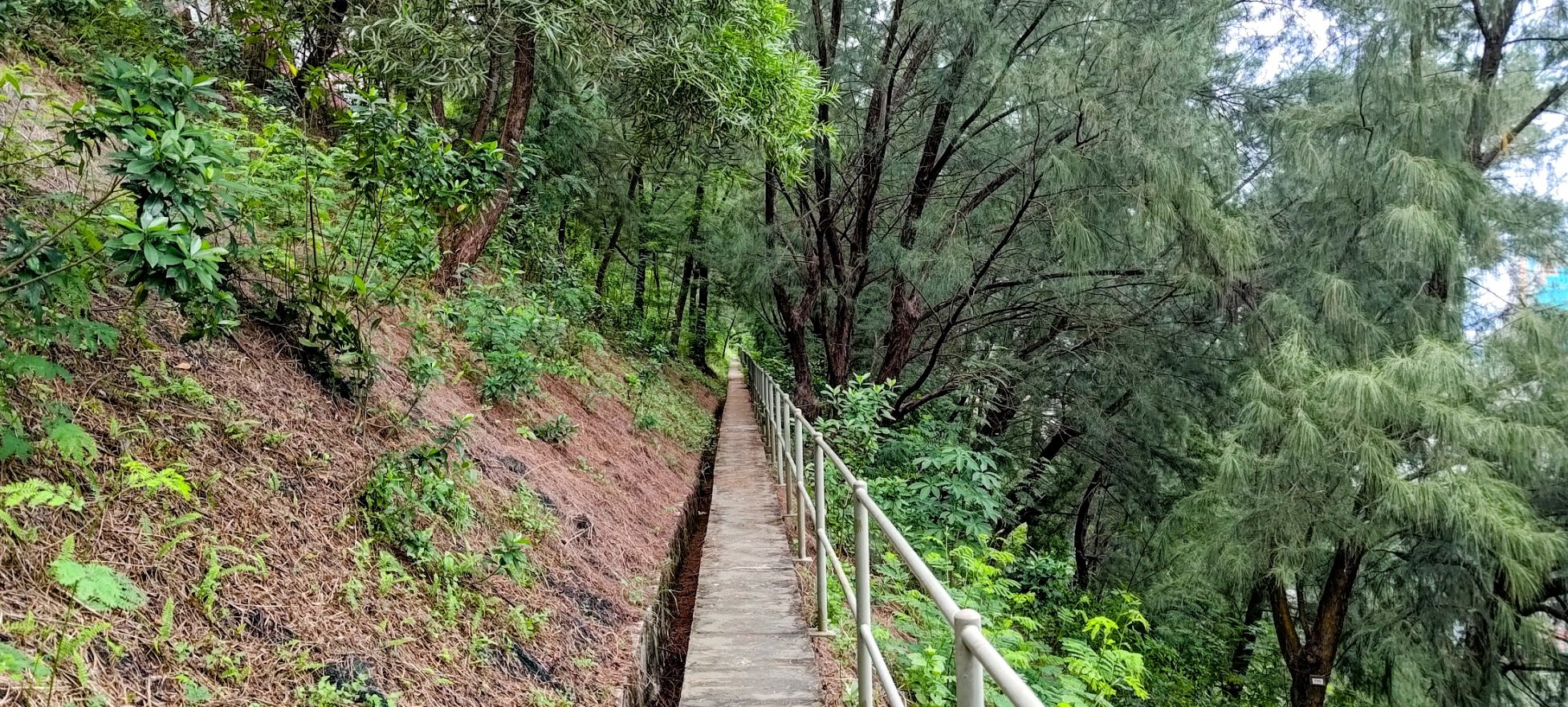
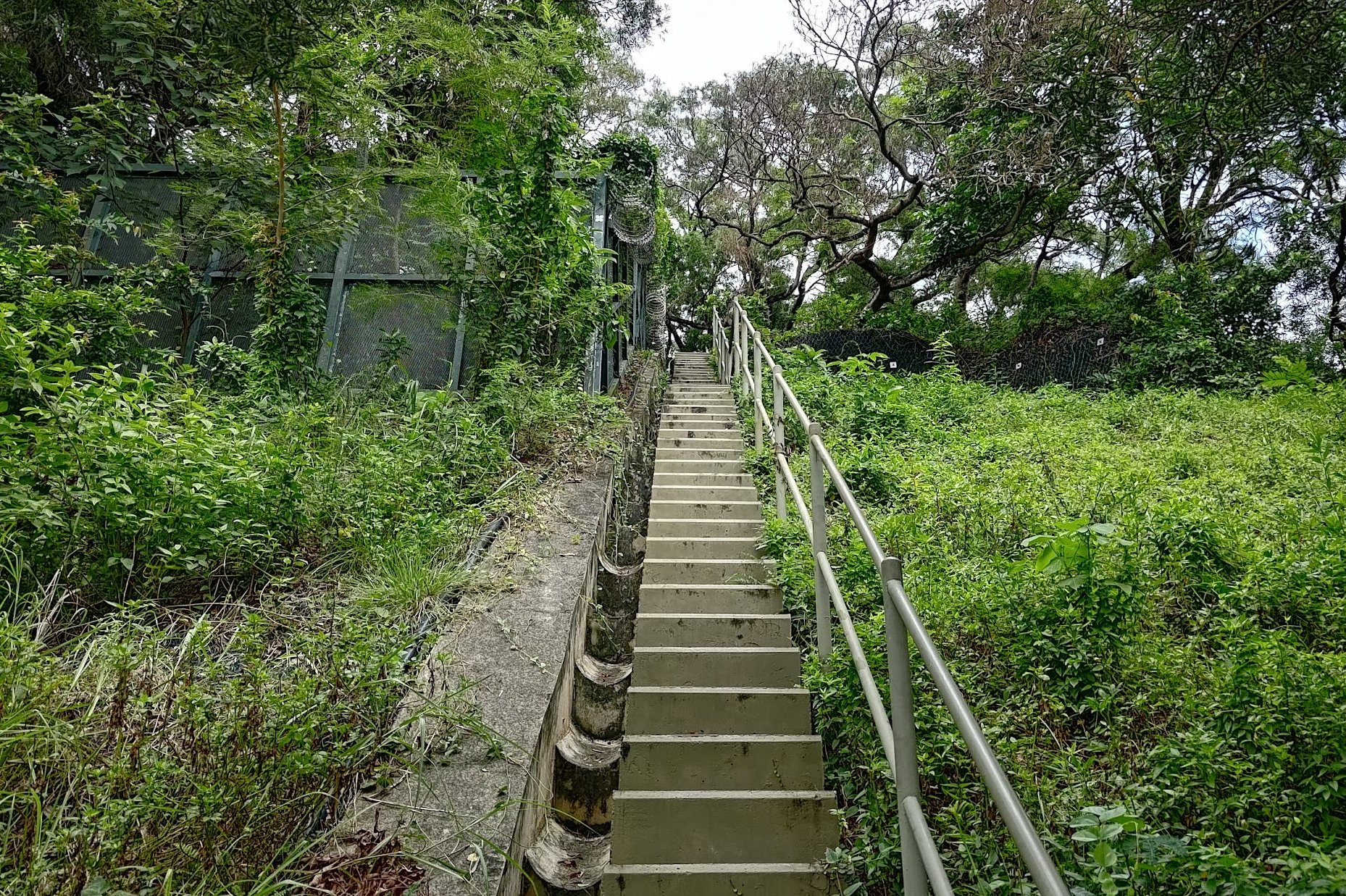
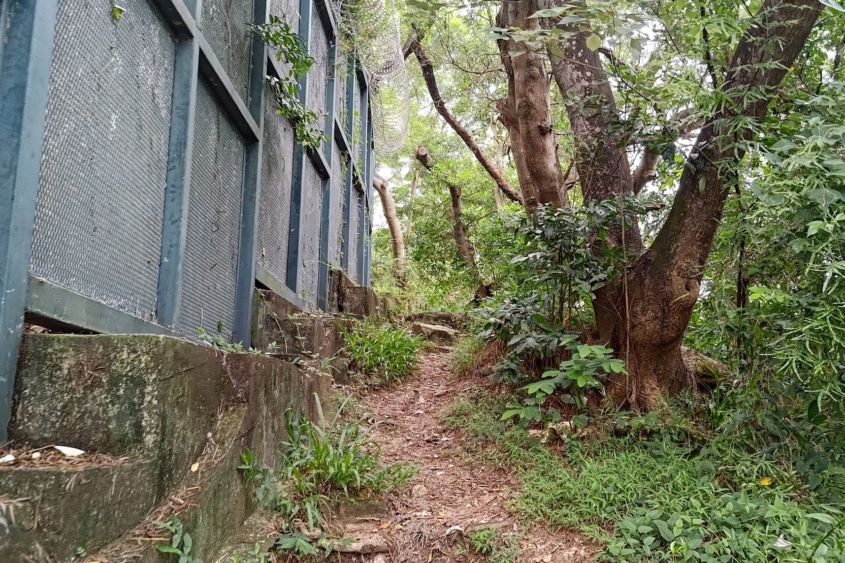
Once you find the large steps, take the longer staircase downward behind them. The long staircase leads to a path that goes around the perimeter of more barbed wire fencing. At the end of that path, you'll find some stone steps.
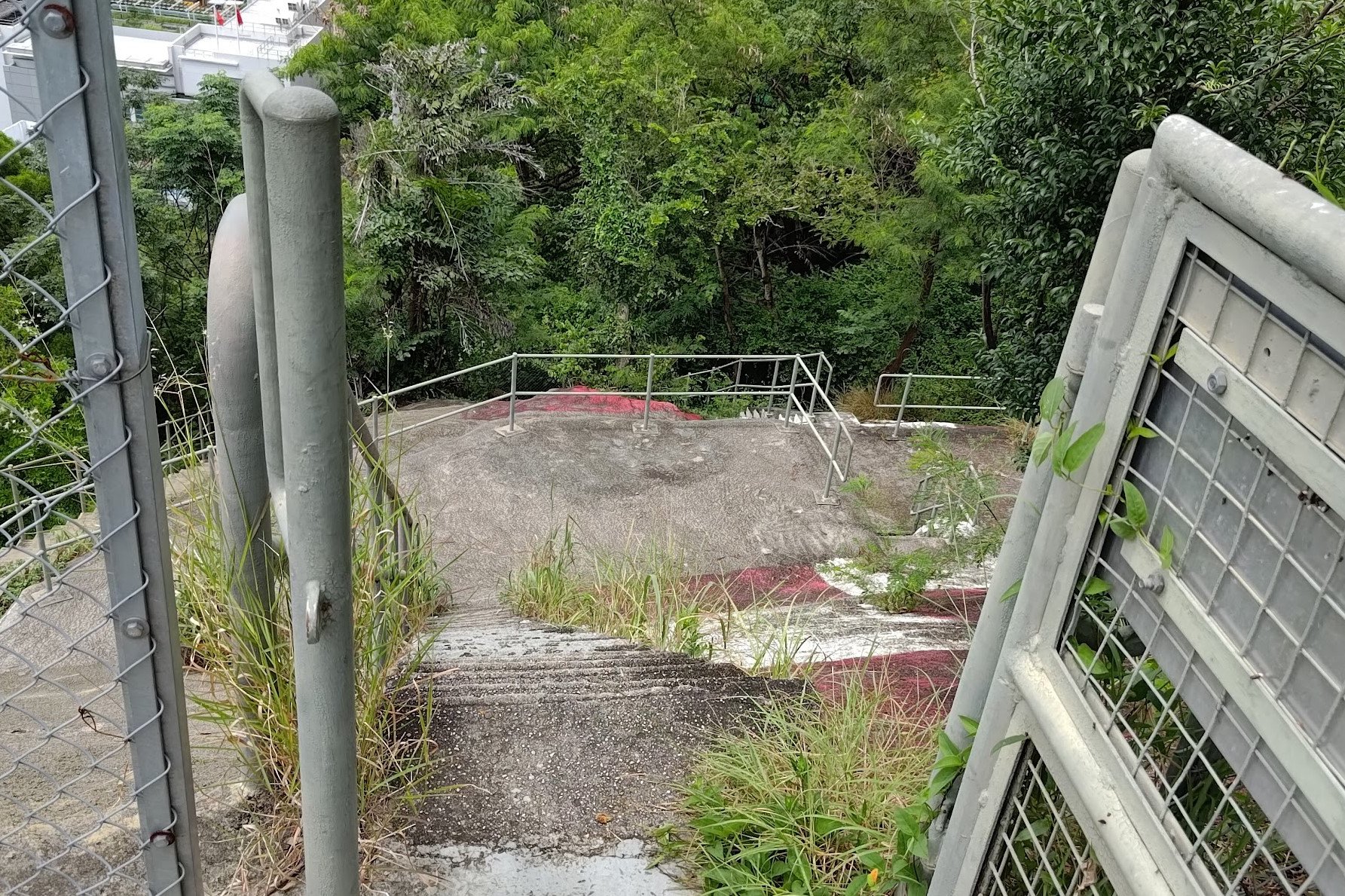
The Trigonometrical Point and the Checkerboard Pattern
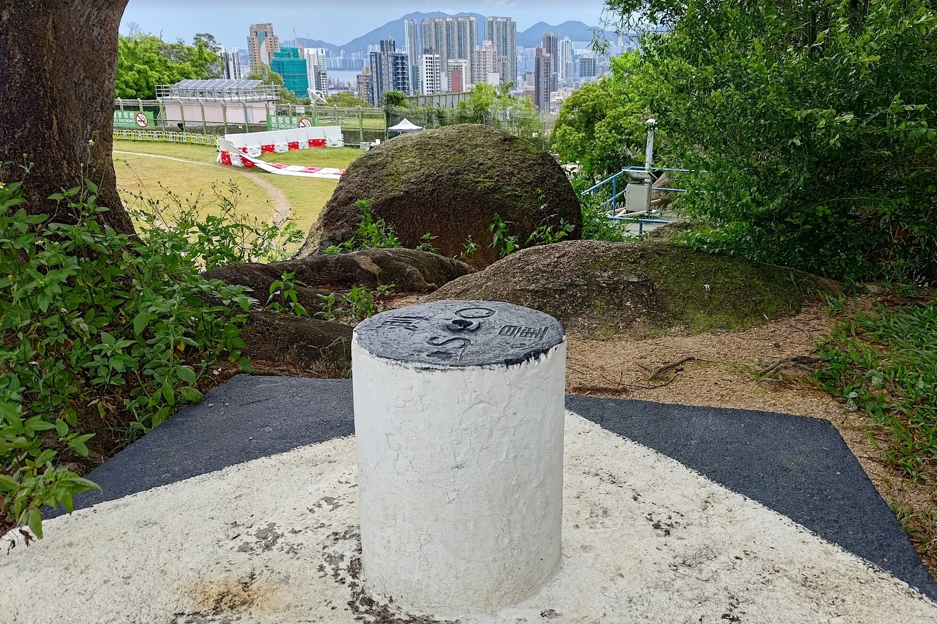
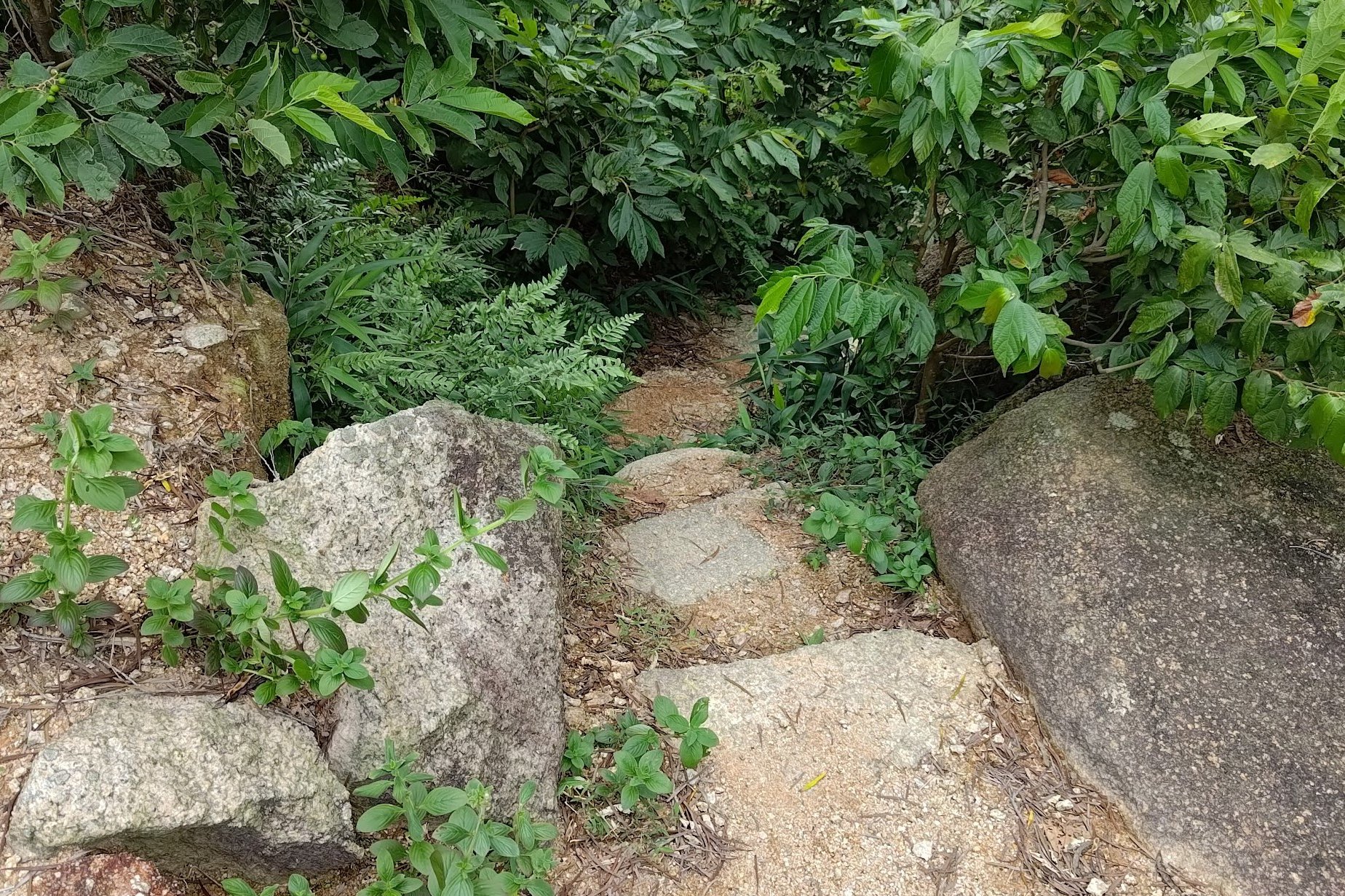
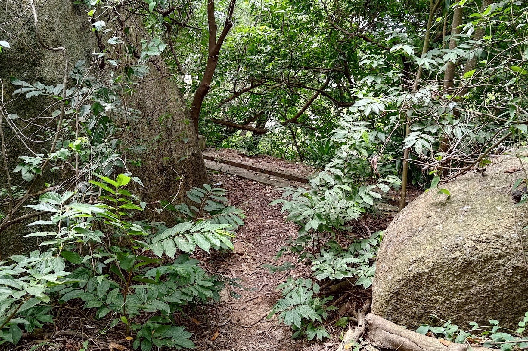

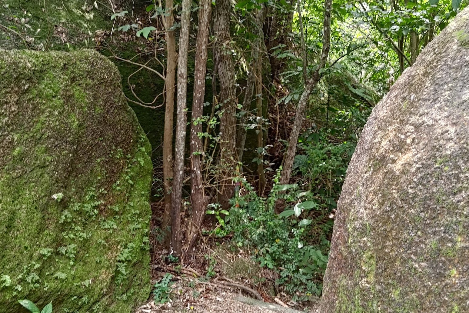
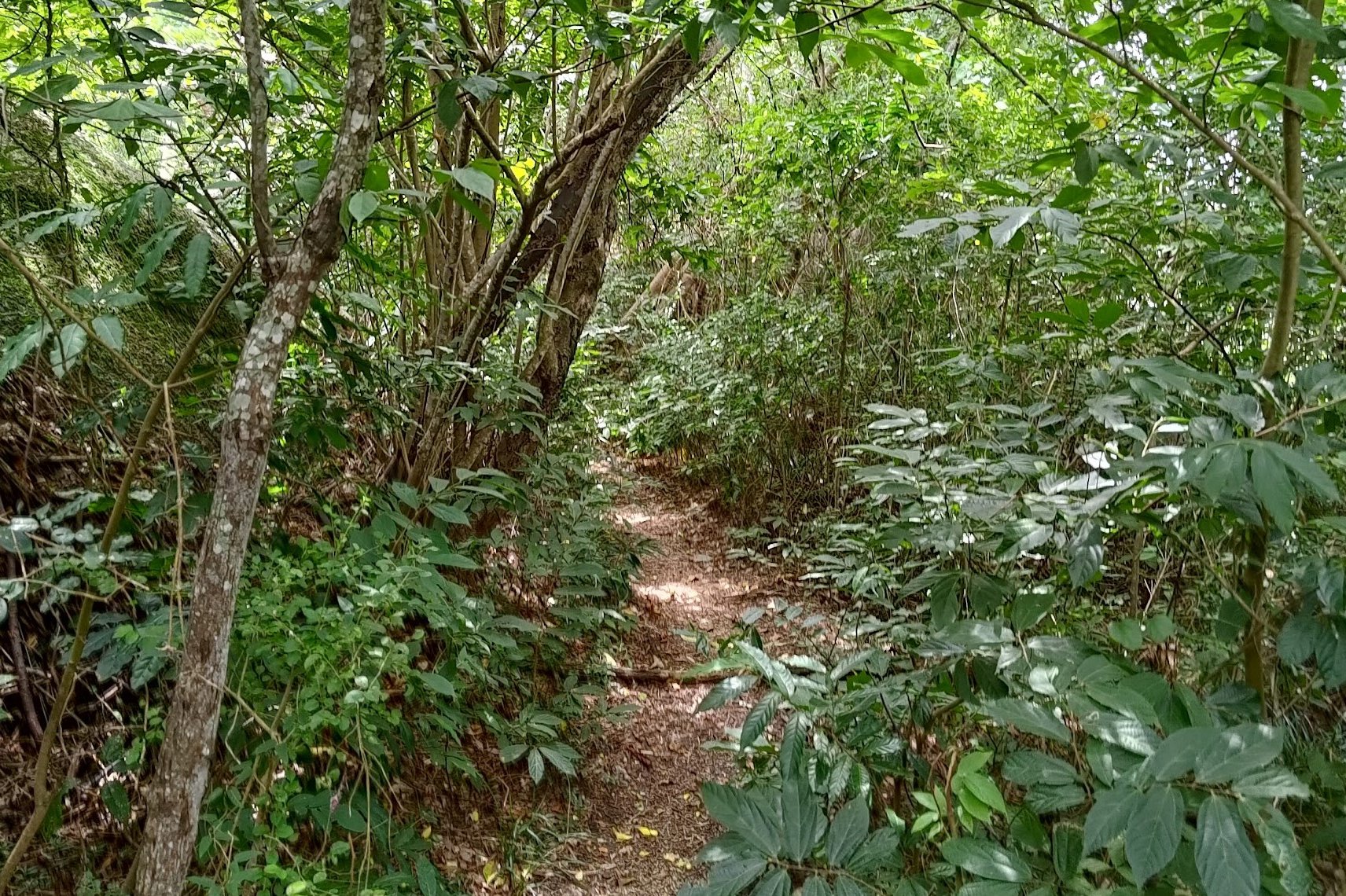
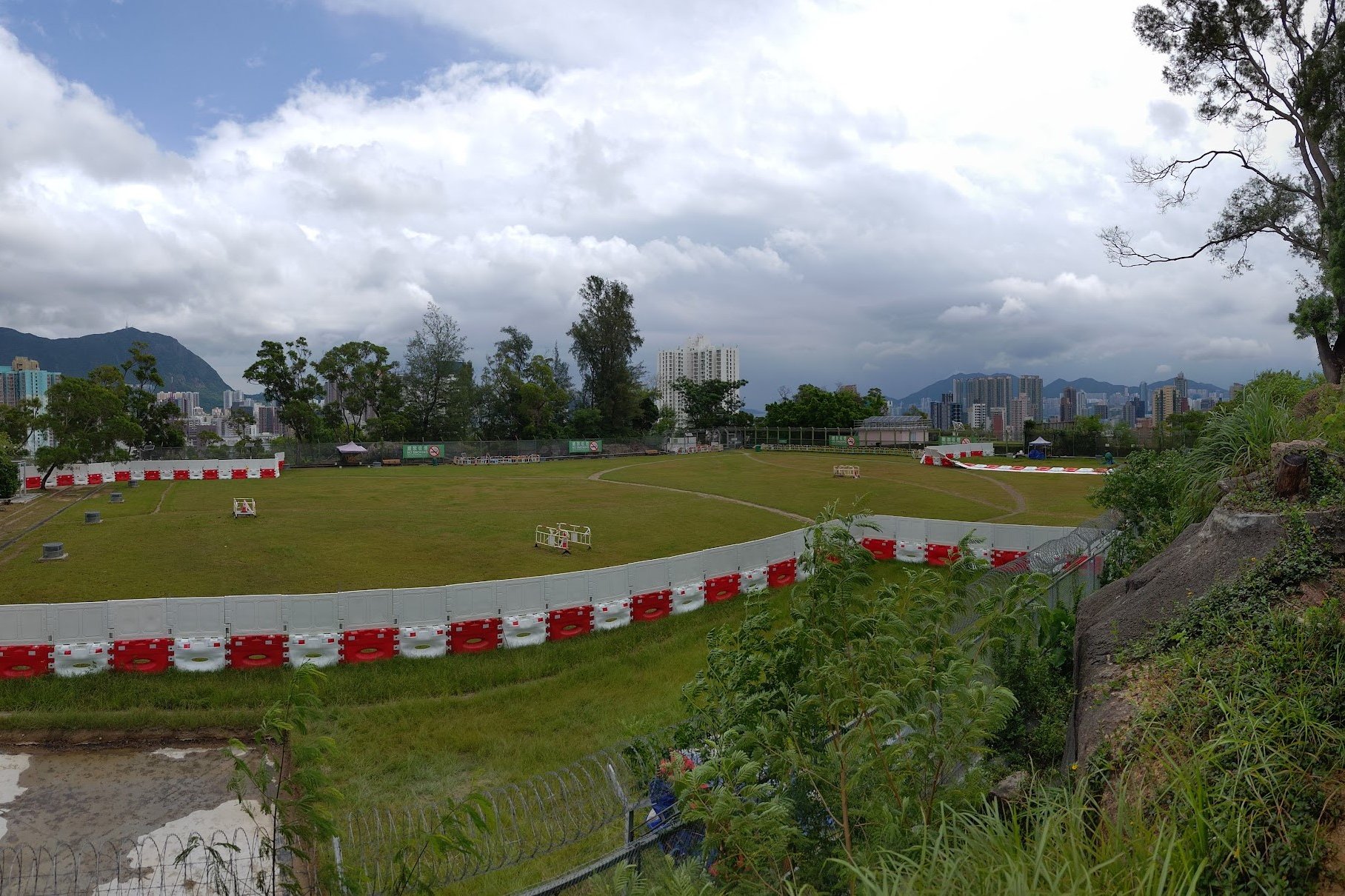
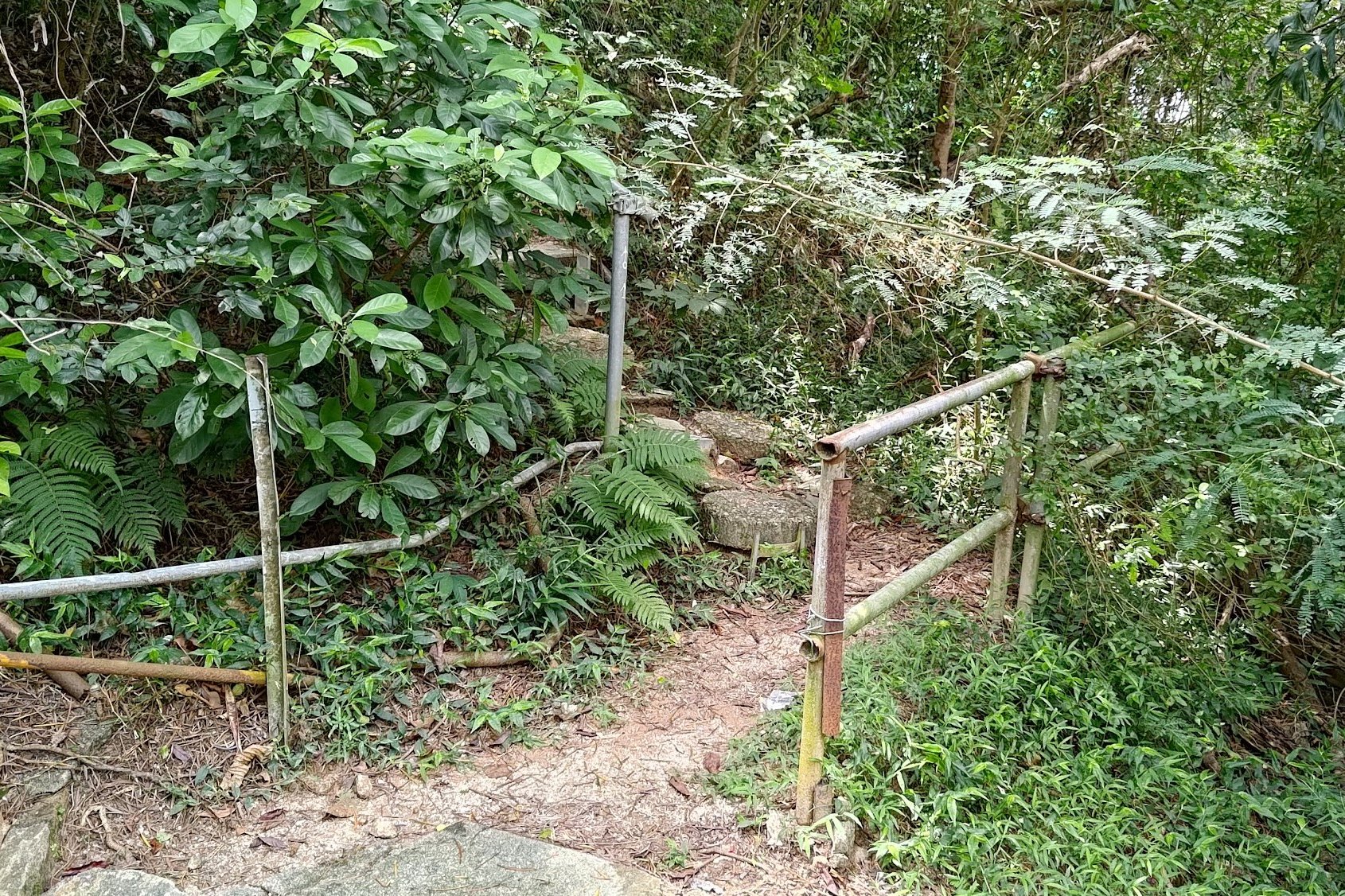
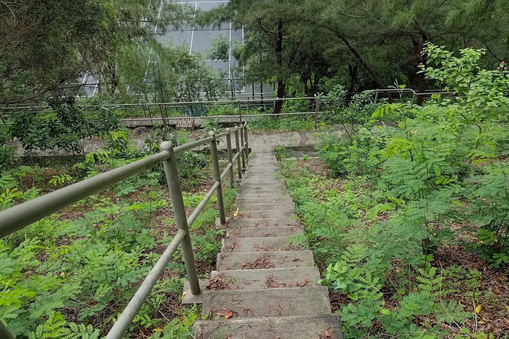
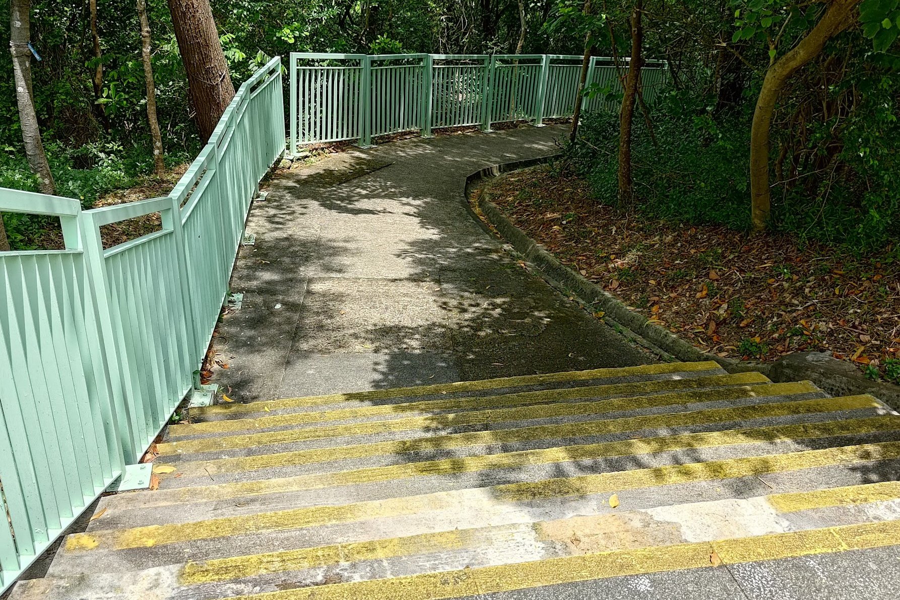
This section initially involves a short climb to the trigonometrical point. Once there, you'll take a small set of stairs down into a jungle area where you'll actually get your first glimpse of the checkerboard pattern.
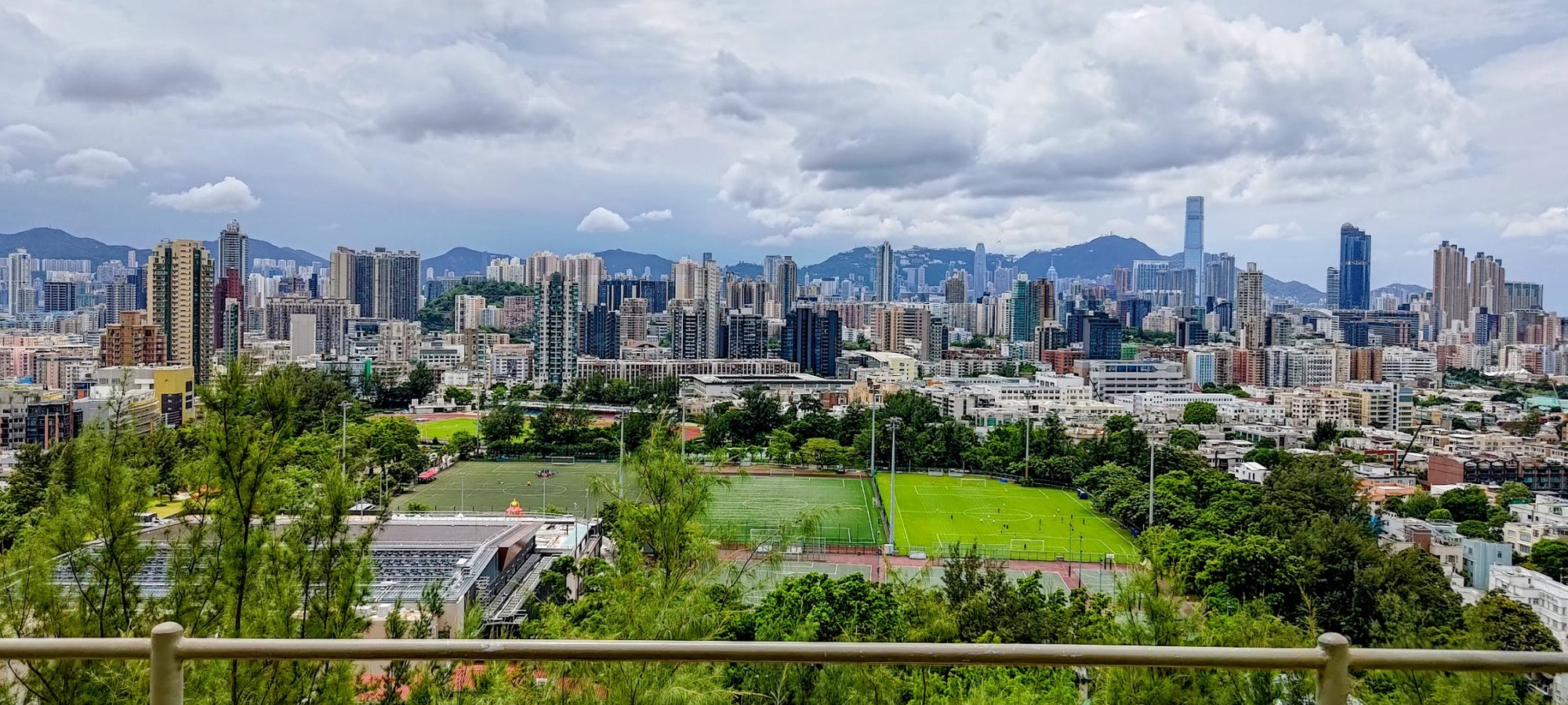
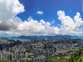
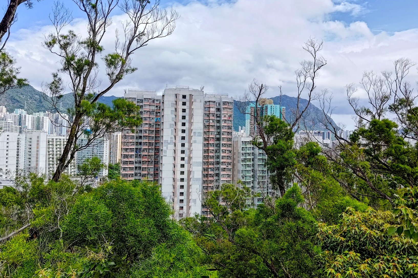
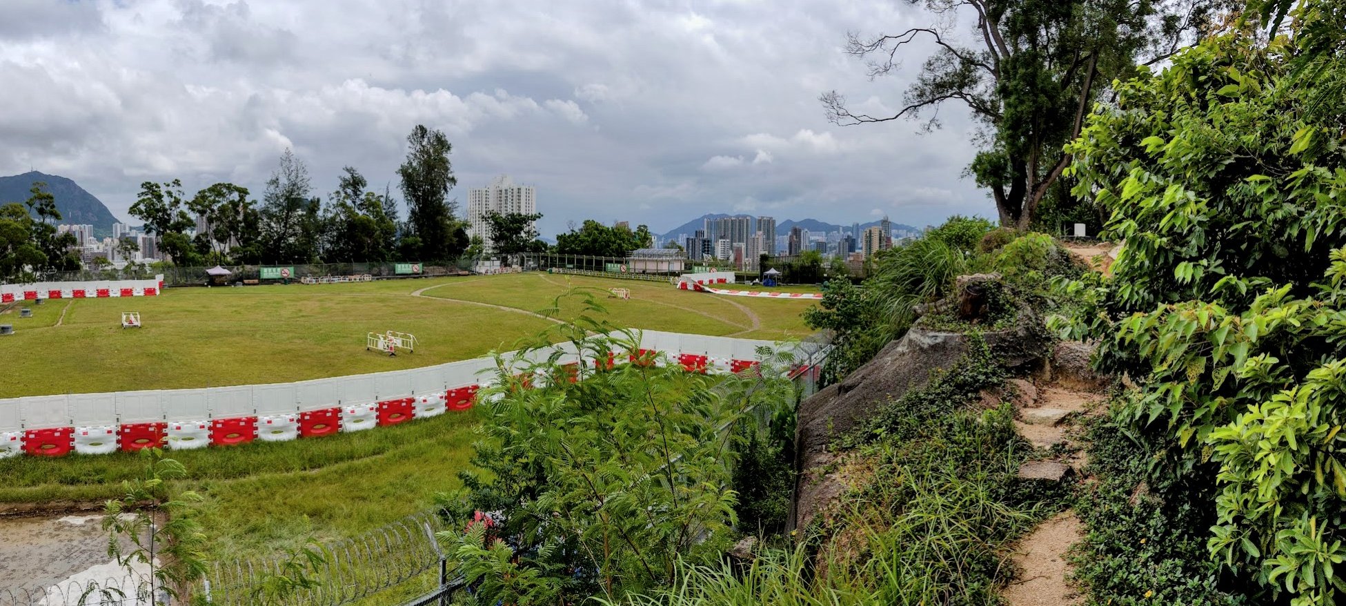
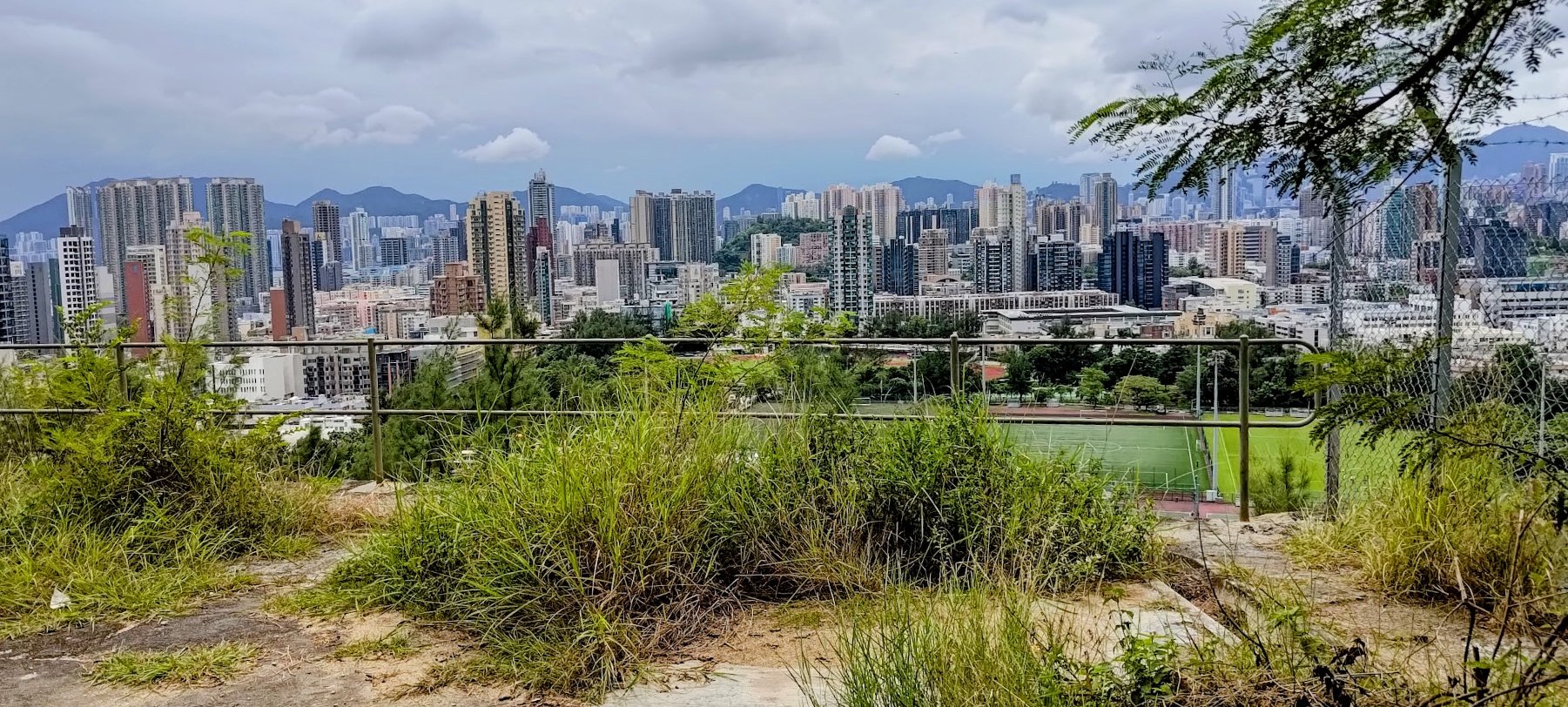
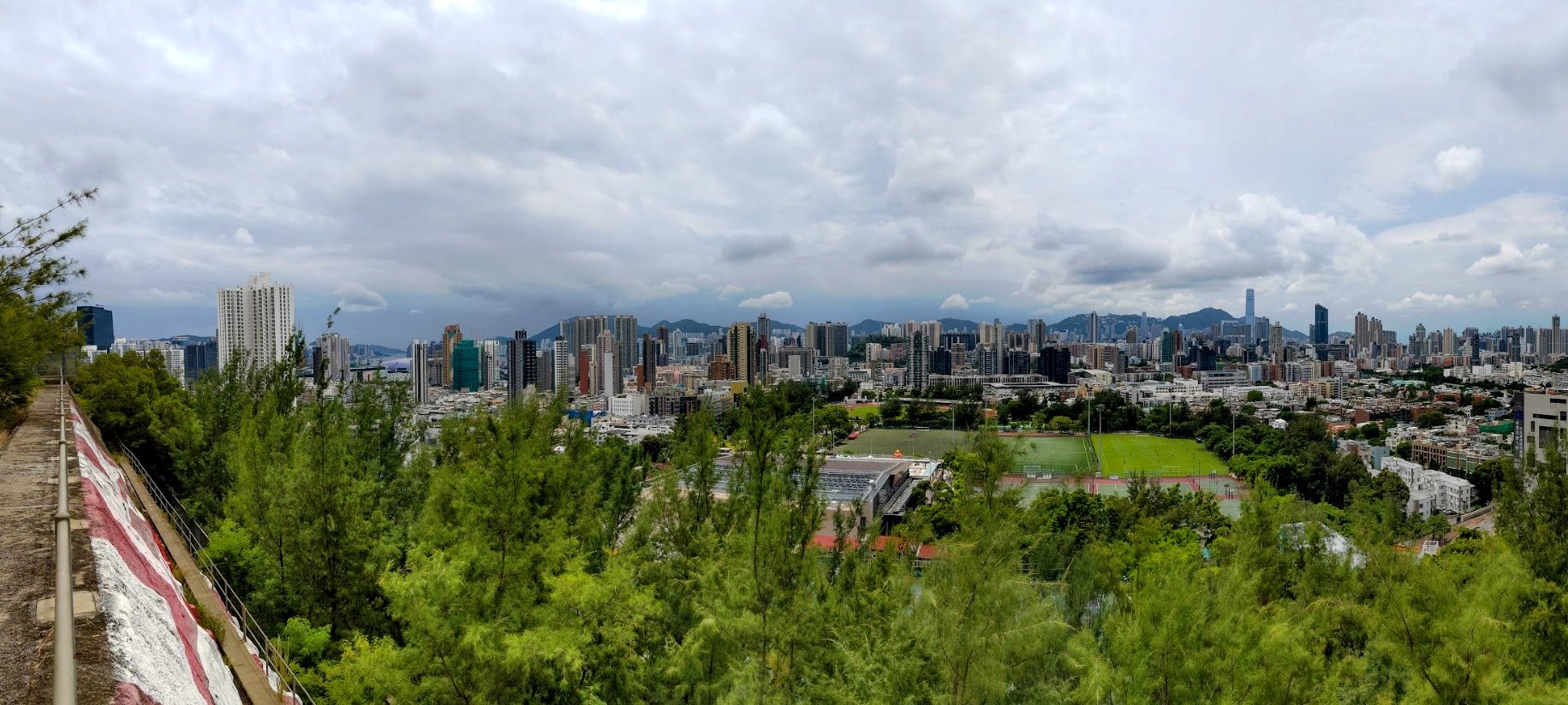
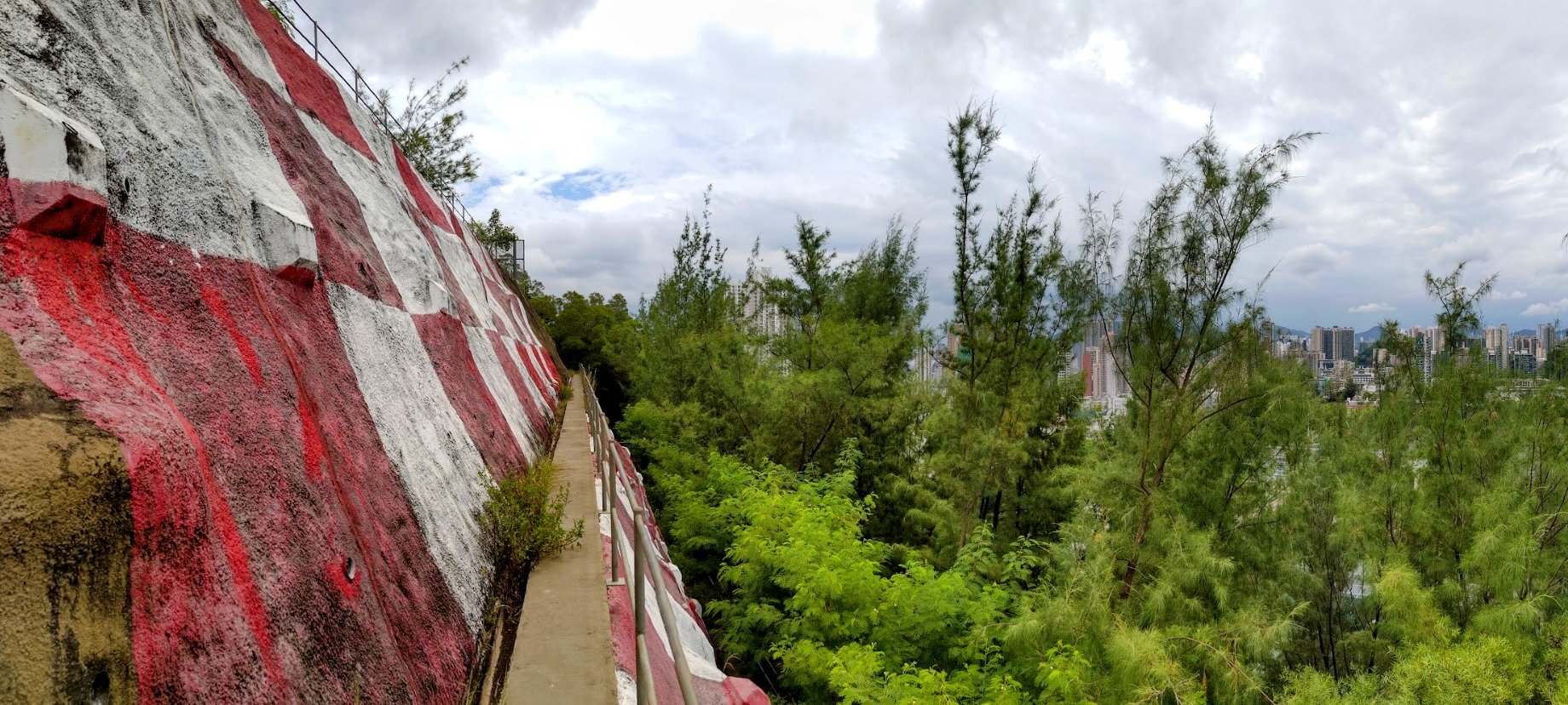
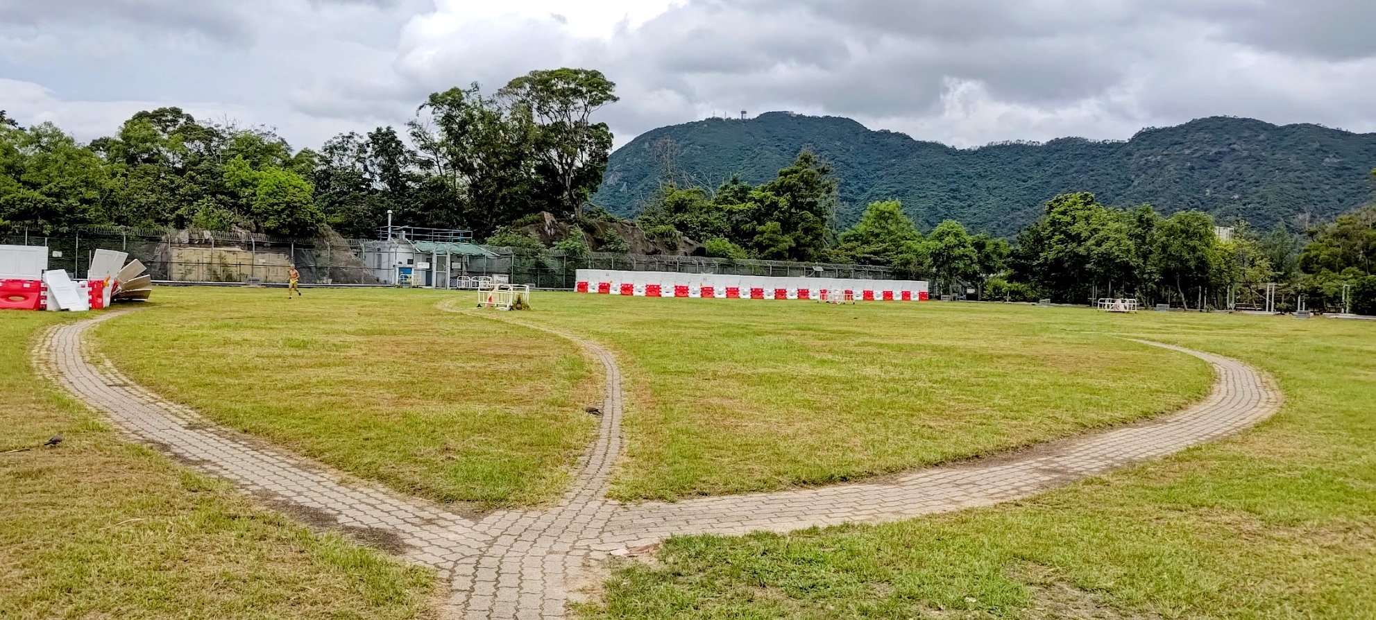
Just keep following the trail until you arrive at a open area with a really amazing view across the inner part of Kowloon!
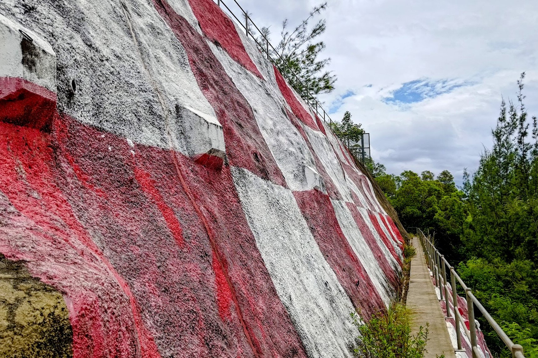
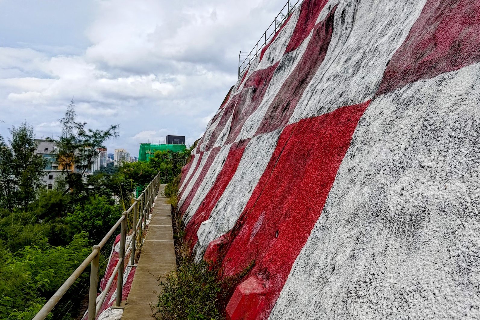
Views of Checkerboard Hill
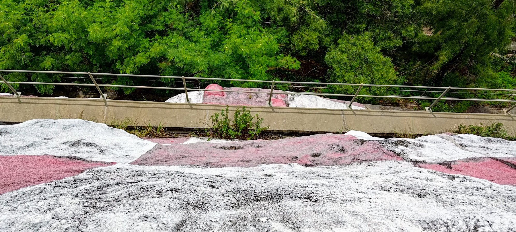
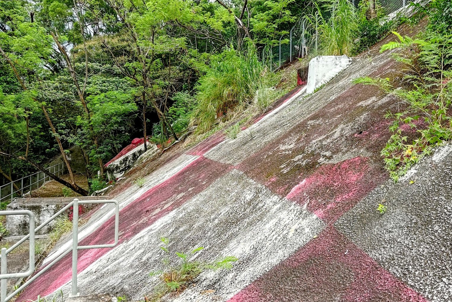
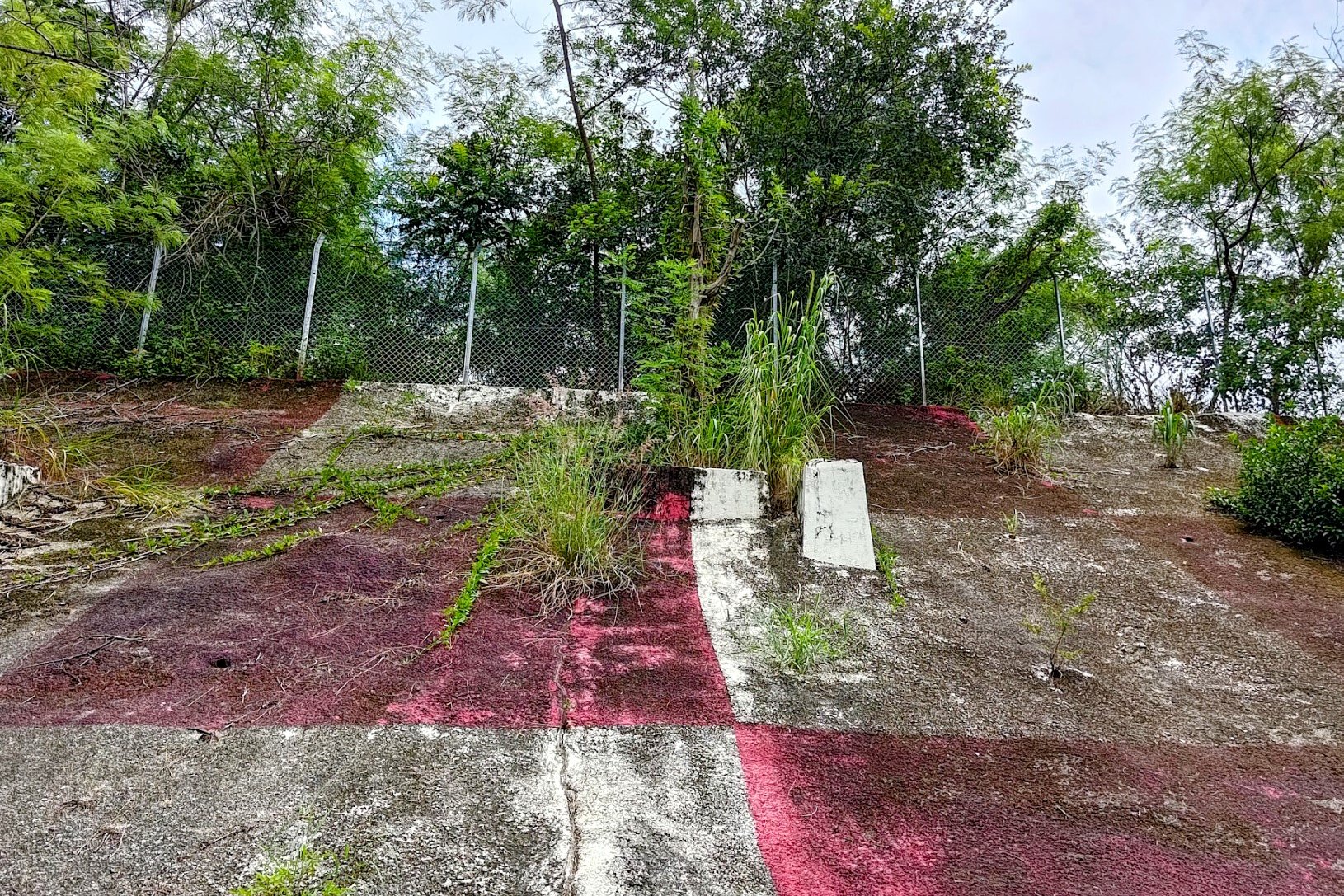
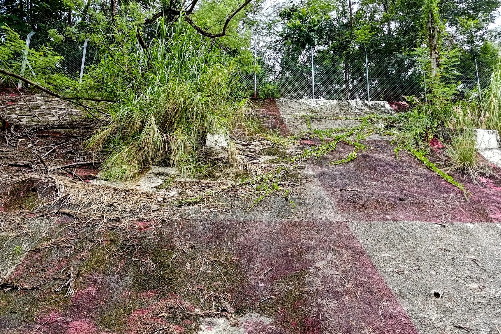
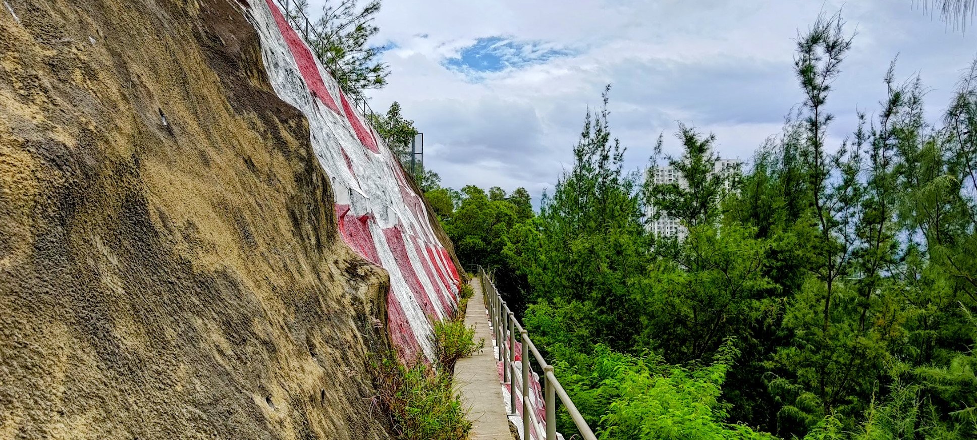
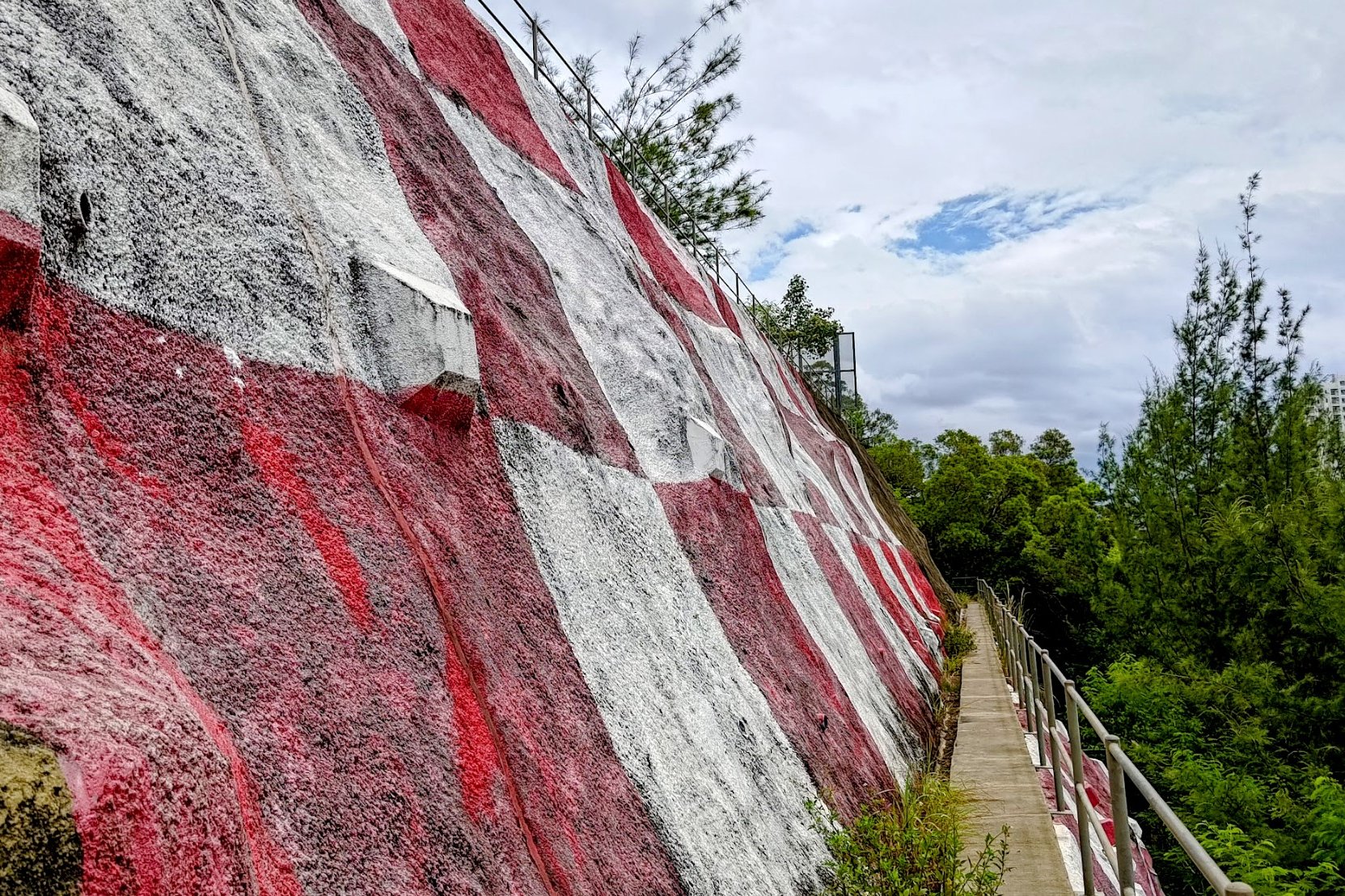
When you arrive at the actual checkerboard pattern, there are actually two different walls that are painted.
The first one you'll encounter is much more neglected with the paint having faded over the years. Moss and other types of flora seem to be making it their mission to reclaim this side of Checkerboard Hill with a vengeance.
The side of the hill that faces the city, however, is much cleaner and better maintained. The paint here is still vibrant and vivid, making it the best spot for photos.
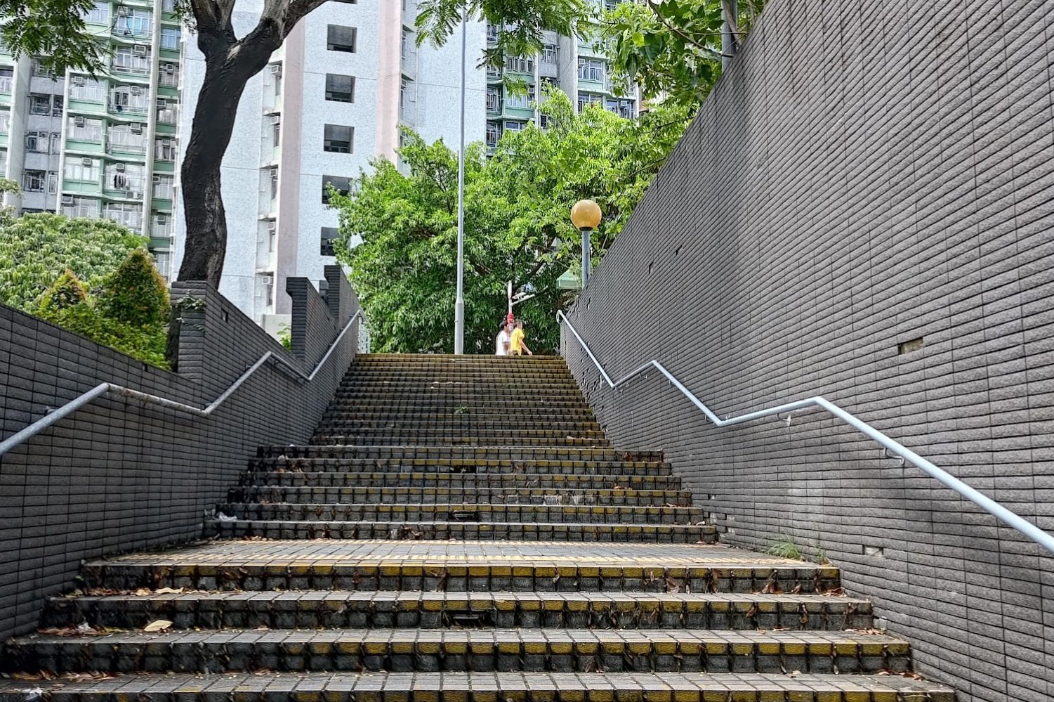
Back to Fu On Street
When you're ready to head back, climb down one level below the lowest checkerboard pattern on the clean wall.
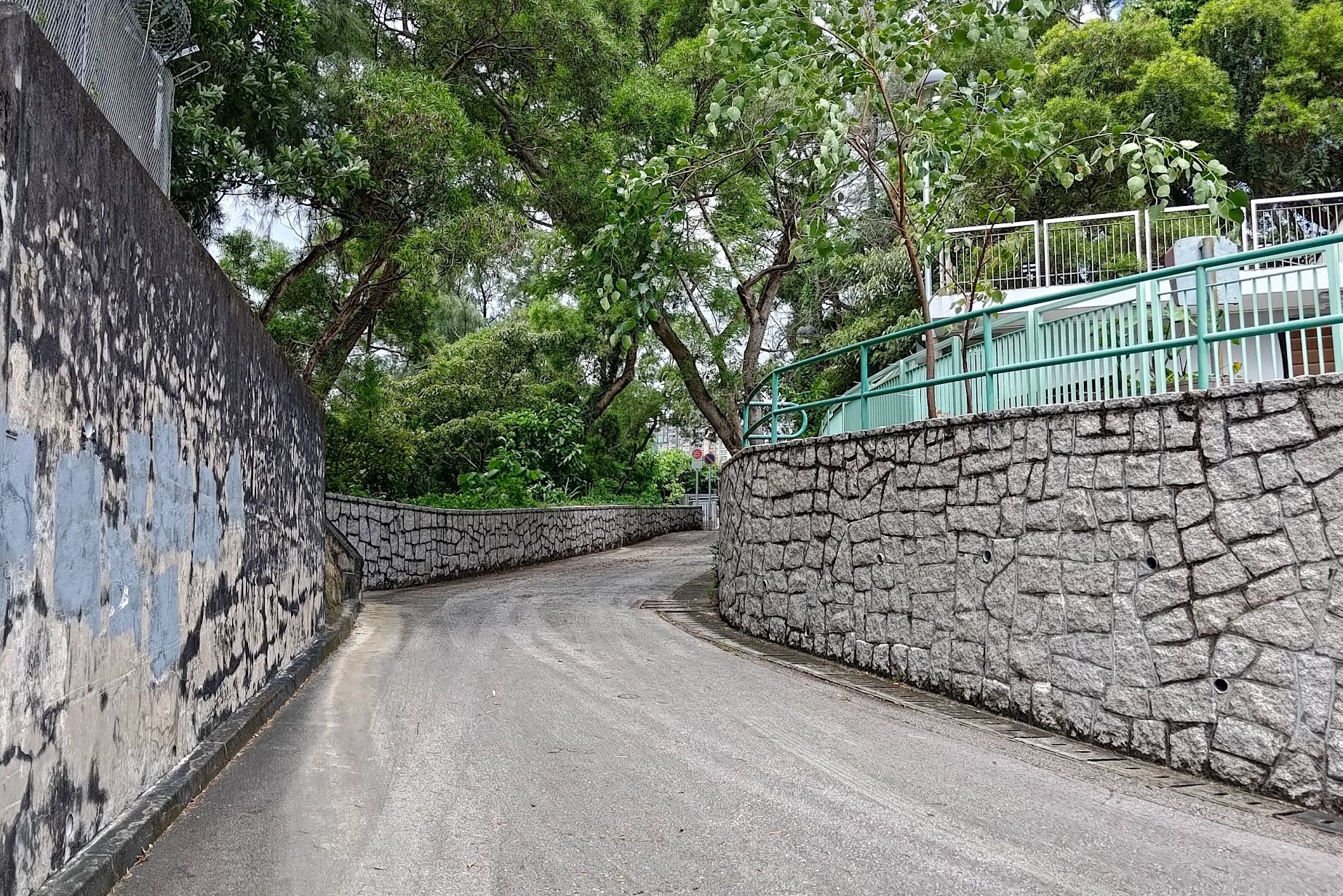
Turn left and follow the trail all the way to its end before climbing up a long staircase. At the top of the staircase, you'll follow a little dirt trail upward until you arrive back at Fu On Street.
You can check out that park/field/thingy and then walk a few meters downward back to the yellow marking stairs.
Retrace your steps back to Lok Fu MTR Station to end the hike.
Getting Back
From Lok Fu Station, you can take the MTR or any of the buses in the bus terminus beside the station.

